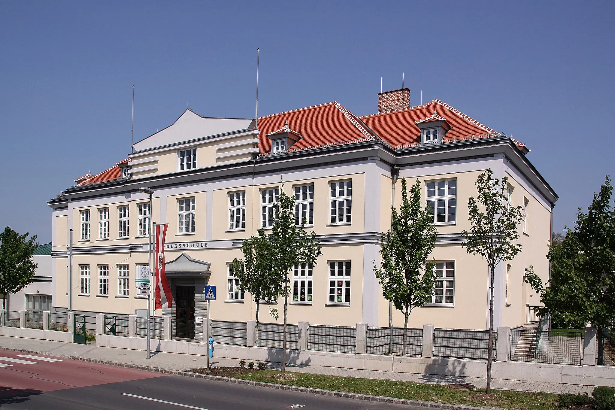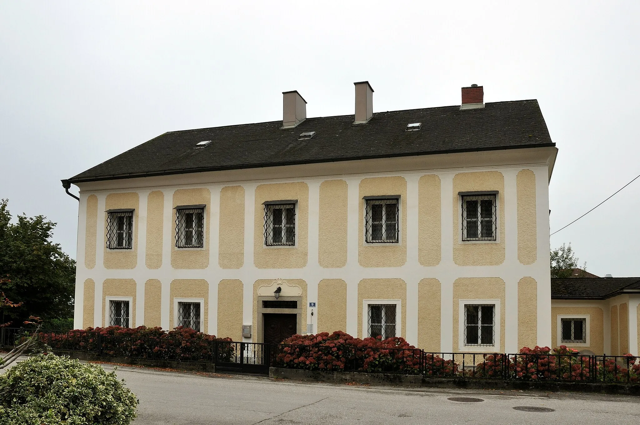
Monipuolinen pyöräilyalue Niederösterreichissa
Pyöräilyreitit alkaen Ernsthofen
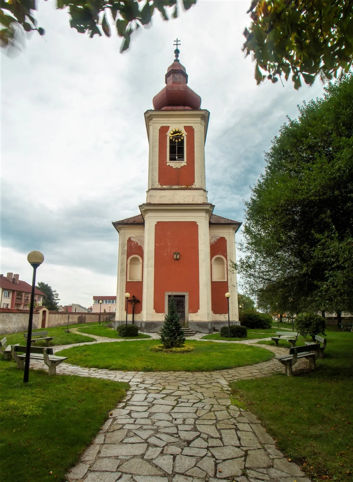
Ernsthofen sijaitsee Niederösterreichissa ja tarjoaa monipuolisia pyöräilymahdollisuuksia maanteille ja sorateille. Alueen reitit sopivat hyvin kuntoiluun ja maisemista nauttimiseen. Lähistöllä ei ole tunnettuja pyöräilykohteita tai huippuja, mutta Ernsthofen houkuttelee pyöräilijöitä kauniilla ympäristöllään ja hyvillä reiteillään.
Steyr Valley Ride
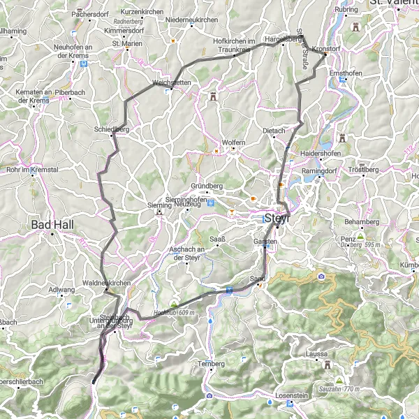
Experience the enchanting beauty of the Steyr Valley on this road cycling route, featuring charming villages and stunning landscapes.
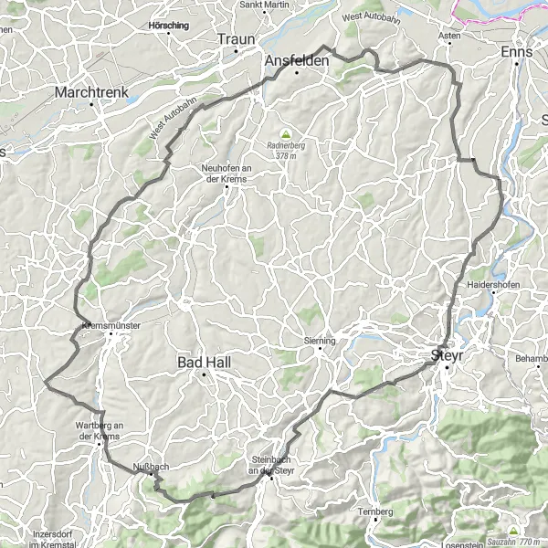
The Steyr Valley Ride offers cyclists a delightful journey through the Austrian countryside, covering 79 km with 909 meters of ascent. Explore Tabor, Steyr, Hochhub, Steinbach an der Steyr, Waldneukirchen, Schiedlberg, Hofkirchen, and Kronstorf Schmiedinger Straße, taking in the rich history and natural beauty of the region.
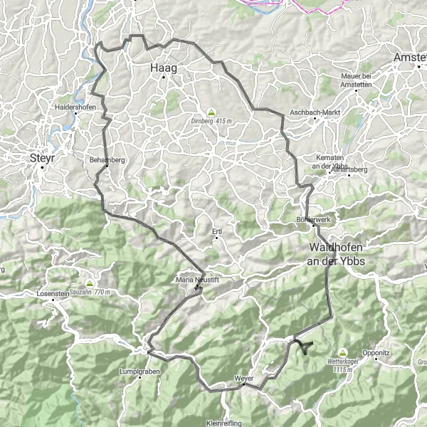
Upea maantieretki Niederösterreichin maaseudulla
Tämä 118 km:n pyöräilyreitti tarjoaa upeita näkymiä ja haastavia nousuja. Matkan varrella voit tutustua historiallisiin kohteisiin kuten Waidhofen an der Ybbsiin ja Maria Neustiftiin. Reitin varrella on myös kauniita maisemia ja viehättäviä kyliä, jotka tekevät matkasta unohtumattoman kokemuksen pyöräilijöille.
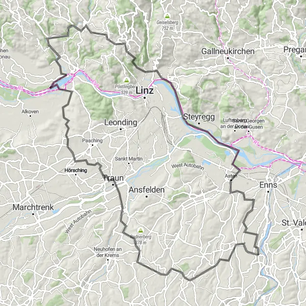
Kulttuurireitti Linzin ympäristössä
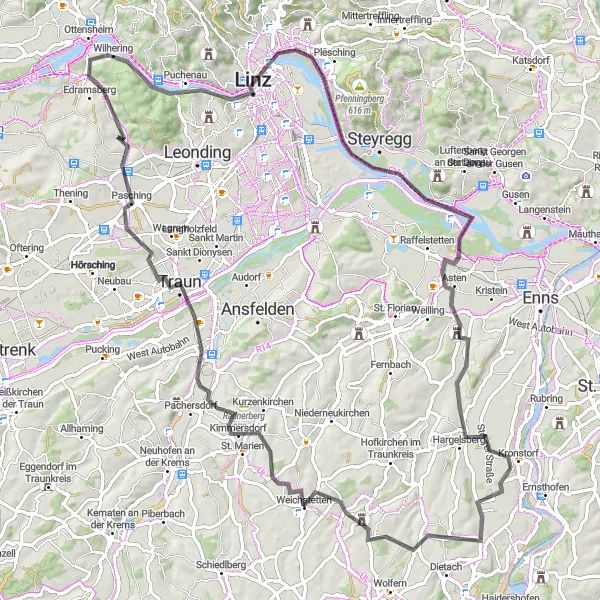
Mielenkiintoinen maantiepyöräreitti, joka tarjoaa kulttuurielämyksiä ja upeita maisemia
Tämä 91 kilometriä pitkä reitti vie pyöräilijät kiehtovalle matkalle Linzin ympäristössä. Reitti tarjoaa upeita näkymiä ja historiallisia kohteita matkan varrella. Pyöräilijät voivat tutustua alueen kulttuuriin ja nauttia tunnelmallisista pysähdyspaikoista. Linz ja Luftenberg ovat vain muutamia reitin huippukohteista.
Discover the charming village of Hargelsberg and other picturesque spots on this road cycling route.
The Hargelsberg Loop offers a scenic ride through Niederösterreich, with a total distance of 45 km and 342 meters of ascent. Explore St. Florian Thannstraße, Enns, Stadtturm, and Kronstorf along the way, immersing yourself in the beauty of the region.
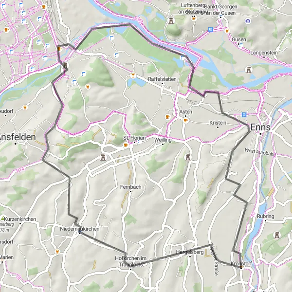
Mäkinen maantiepyöräreitti, joka tarjoaa upeita maisemia ja historiallisia kohteita
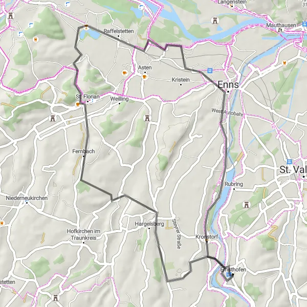
Tämä 107 kilometriä pitkä reitti tarjoaa pyöräilijöille jännittävän seikkailun Steyrin alueen upeissa maisemissa. Reitti sisältää yli tuhat metriä nousua ja kulkee historiallisten kaupunkien läpi. Pyöräilijät voivat tutustua alueen kulttuuriin ja historiaan matkan varrella. Panoramablick St. Florian ja Kronstorf ovat vain muutamia reitin huippukohteista.
Steyrdorf - Aschach an der Steyr Loop
Experience the charming villages of Steyrdorf and Aschach along this picturesque road cycling route.
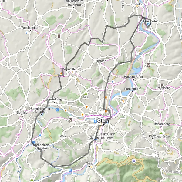
This 52 km road cycling route starting near Ernsthofen offers breathtaking views and a total ascent of 508 meters. Enjoy riding through the historic villages of Tabor, Aschach an der Steyr, Wolfern, and Kronstorf. Don't miss the opportunity to explore the rich cultural heritage and beautiful landscapes along the way.
Wels Tour
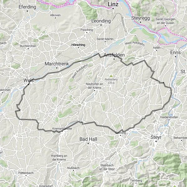
Embark on a delightful road cycling journey to Wels and beyond, covering 104 km with 827 meters of ascent.
The Wels Tour showcases the beauty of the Austrian countryside, passing through Dietach, Rohr im Kremstal, Sattledt, Marienwarte, Wels, Traun, Eichkogel, and Hargelsberg. With varied landscapes and interesting stops along the way, this route promises an exciting cycling adventure.
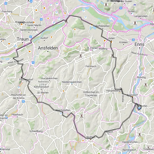
Explore the rich history and scenic beauty along this 52 km road cycling circuit.
Pedal through Hargelsberg, Niederneukirchen, Ebelsberg Castle, Enns, Stadtturm, and end at Kronstorf Schmiedinger Straße on this 52 km route with a total ascent of 418 meters. Discover the historical landmarks, lush greenery, and charming villages that make this journey unforgettable.
Luftenberg Adventure
Embark on a challenging road cycling adventure through Luftenberg and its surroundings, covering 111 km with 1007 meters of ascent.
The Luftenberg Adventure takes cyclists on a thrilling journey through the Austrian countryside, passing by Hargelsberg, Leitnerberg, St. Marien Tischlerstraße, Traun, Schloss Ottensheim, Gramastetten, Gründberg, Luftenberg, and Schloss Tyllisburg. With a mix of scenic views and cultural sites, this route offers a memorable cycling experience.
Dietach - Kronstorf Loop
Cycle through diverse landscapes and historic sites on this 71 km road cycling loop.
This 71 km road cycling route with a 426 meters ascent offers a mix of challenging terrain and scenic beauty. Explore the villages of Dietach, Weichstetten, Traun, Solar-City, and Kronstorf. Immerse yourself in the rich history and natural wonders along the way, making for a memorable cycling journey.
Lähellä olevat pyöräilyreitit:
Läheiset alueet: