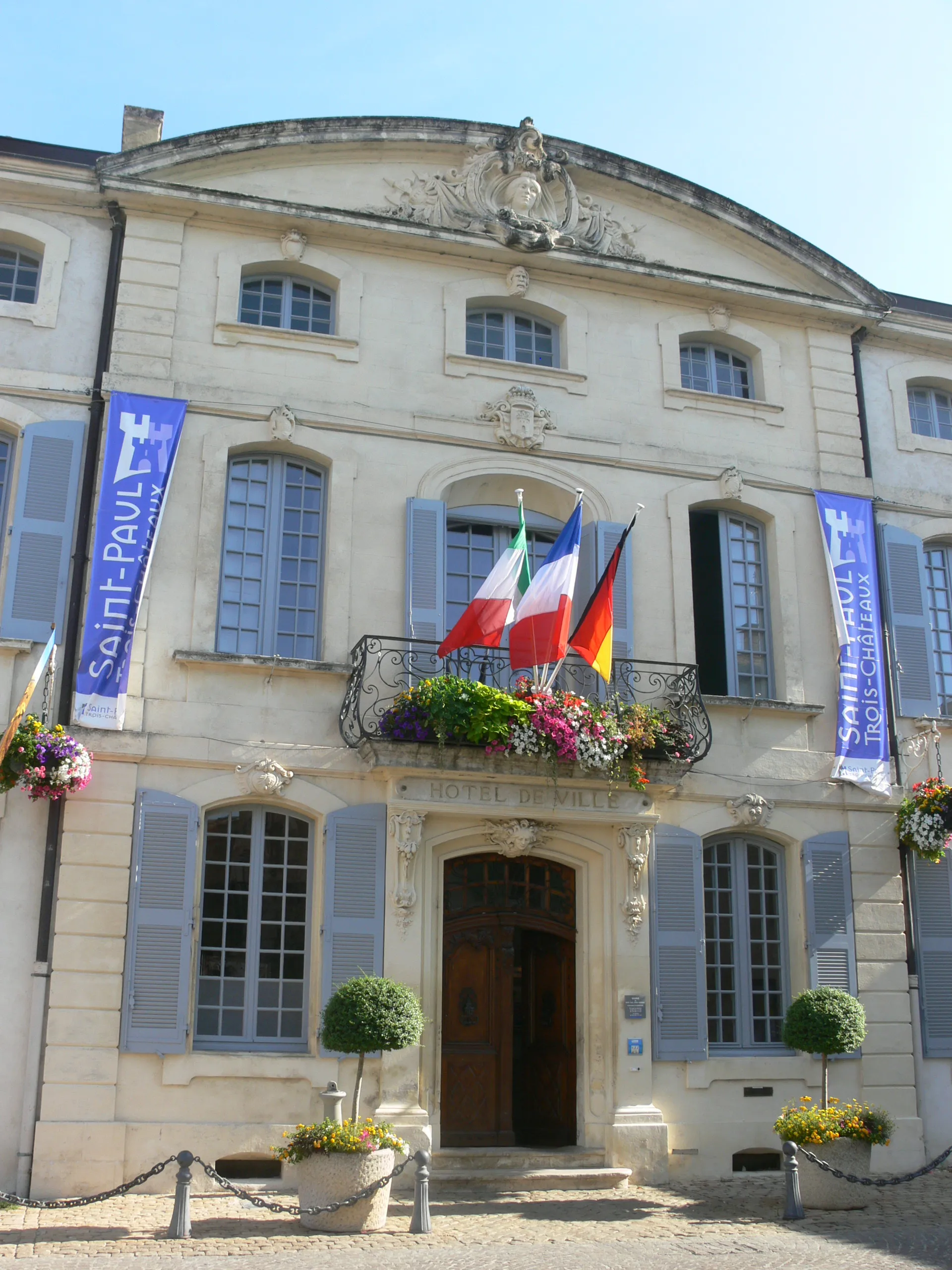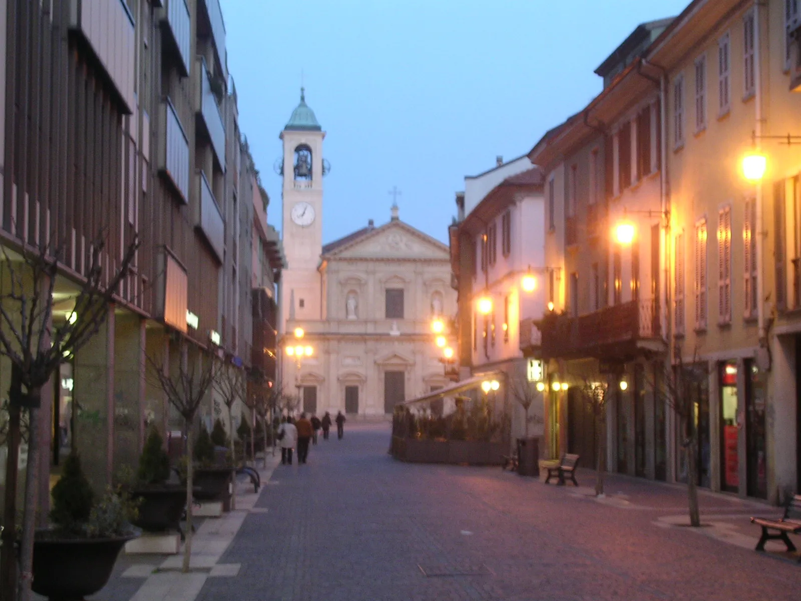
Provencen pyöräilykeskus Saint-Rémy-de-Provence.
Pyöräilyreitit alkaen Saint-Rémy-de-Provence
Saint-Rémy-de-Provence on tunnettu pyöräilykohde Provencen alueella, joka houkuttelee niin maantie- kuin maastopyöräilijöitä. Alueen ympäristö tarjoaa vaihtelevia maisemia ja haastavia reittejä, jotka sopivat hyvin kuntoiluun ja maisemien ihailuun. Lähellä sijaitsee myös tunnettu pyöräilynousu, joka houkuttelee kokeneempia pyöräilijöitä.
Antiques Road Tour
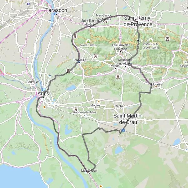
Ride through history on the Antiques Road Tour.
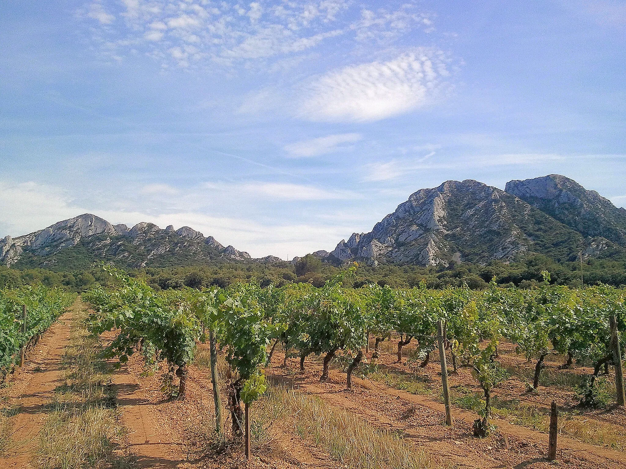
Covering 88 km with 338 meters of ascent, this road route takes you to Plateau des Antiques, Mont Gaussier, Le Castellas, Saint-Martin-de-Crau, Mas-Thibert, Pont Van-Gogh, Abbaye de Montmajour, Notre-Dame-du-Château, and back to Saint-Rémy Villel Ville.
Montagnette Gravel Adventure
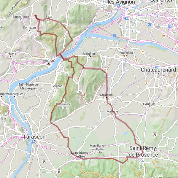
Embark on a thrilling gravel adventure around Montagnette.
With 672 meters of ascent over 68 km, this gravel route takes you through stunning landscapes and charming villages. Explore Notre-Dame-du-Château, Saint-Étienne-du-Grès, Montagnette, Saze, Graveson, and end your journey back in Saint-Rémy Villel Ville.
Viehättävä pyöräilyreitti pitkin Provencen maaseutua
Tämä 64 kilometrin mittainen tienpätkä vie sinut pitkin kauniiden Provencen kylien. Matkalla voit ihailla upeita maisemia ja historiallisia nähtävyyksiä.
Historiallisten kohteiden lumoava pyöräilyreitti
Tutustu historiallisiin nähtävyyksiin pitkin tätä 49 kilometrin mittaa reittiä. Kauniit maisemat ja vanhat linnat tarjoavat upean nähtävyyden koko matkalle.
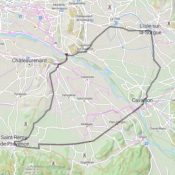
Koe Provencen kulttuuriset helmet pyöräillessäsi
Tämä 60 km:n maantiepyöräreitti tarjoaa upeita maisemia ja kulttuurikohteita. Matkan varrella voit tutustua muun muassa Novesin viehättävään kylään ja La Durencen vehreisiin maisemiin. Reitin varrella sijaitsee myös historiallinen Plan-d'Orgonin kylä sekä antiikin Rooman aikainen Plateau des Antiques.
Saint-Rémy Villel Ville Gravel Circuit
Discover the charm of Saint-Rémy Villel Ville on this gravel route.
This 25 km gravel route is a perfect way to explore the historic sites of Saint-Rémy Villel Ville. With 278 meters of ascent, you will enjoy a scenic ride through the picturesque countryside of Provence-Alpes-Côte d’Azur.
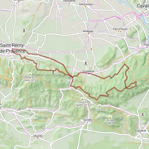
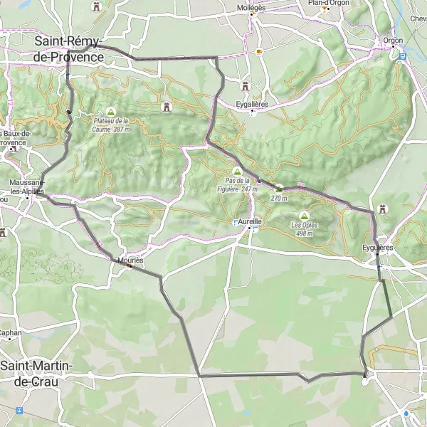
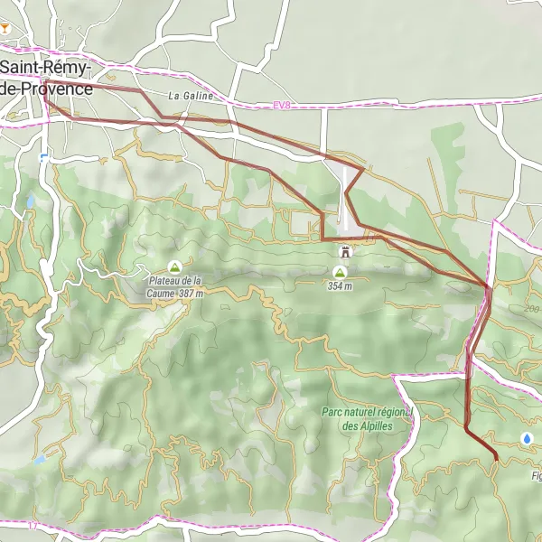
Enjoy breathtaking views on the Eygalières Panoramic Gravel Route.
Covering 47 km with 591 meters of ascent, this gravel route takes you through Eygalières, Point de Vue, Pas de la Figuière, and back to Saint-Rémy Villel Ville.
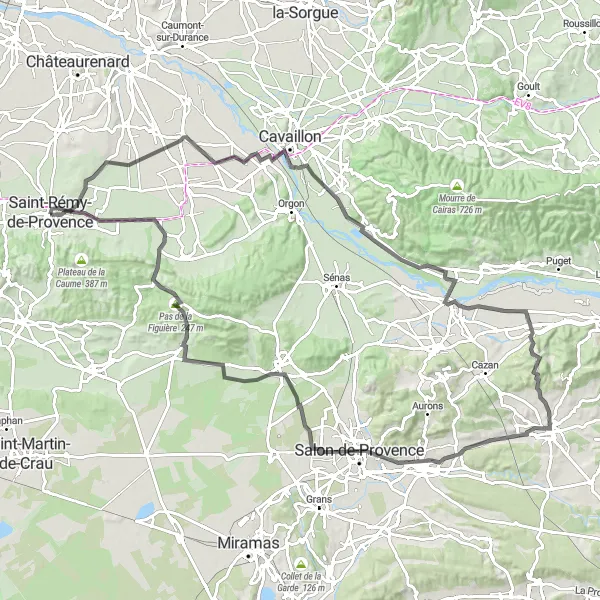
An epic road cycling journey through the diverse landscapes and charming villages of Provence.
From the historic Saint-Andiol to the picturesque Aureille, this route offers a mix of challenging climbs and scenic views, passing by the beautiful La Durance river and the tranquil Gros Mourre.
Seikkailullinen kilpailu hiekkateitä pitkin
Tämä hurmaava reitti tarjoaa hiekkateillä pyöräilykokemuksen läpi Provencen maaseudun. Maisemat vaihtelevat La Durancen laaksoista viiniviljelmien ympäröimiin kyliin.
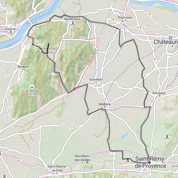
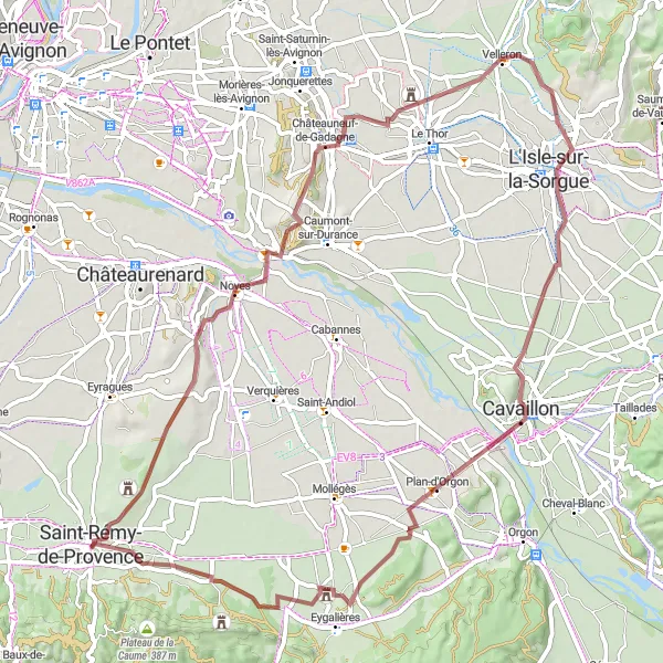
Noves and Velleron Gravel Loop
Explore the charming villages of Noves and Velleron on this gravel loop.
With 311 meters of ascent over 72 km, this gravel route takes you through Noves, Châteauneuf-de-Gadagne, Velleron, La Durance, Plan-d'Orgon, and Mas de la Brune before returning to Saint-Rémy Villel Ville.
Lähellä olevat pyöräilyreitit:
Läheiset alueet: