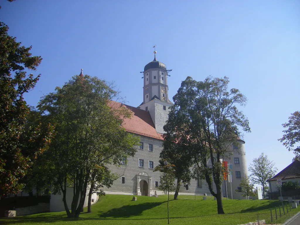
Tunnelmallinen kohde kauniilla maisemilla
Pyöräilyreitit alkaen Hallau
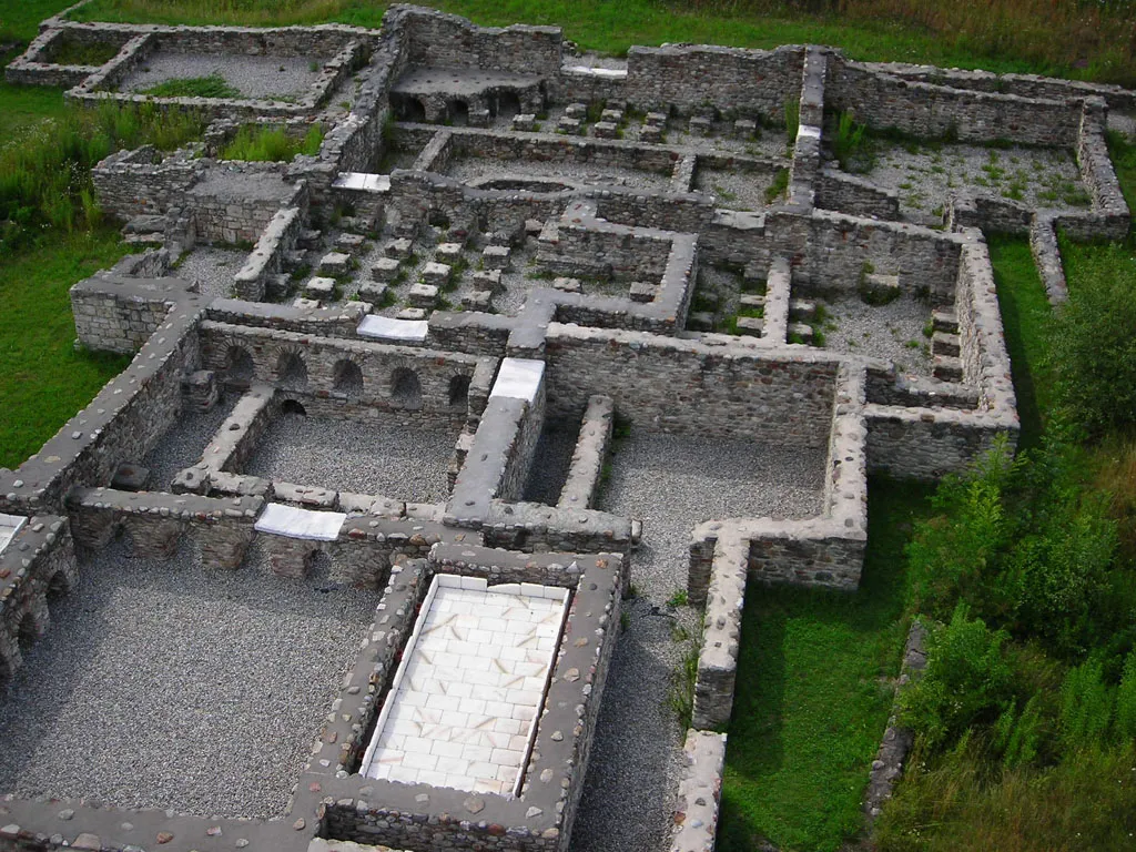
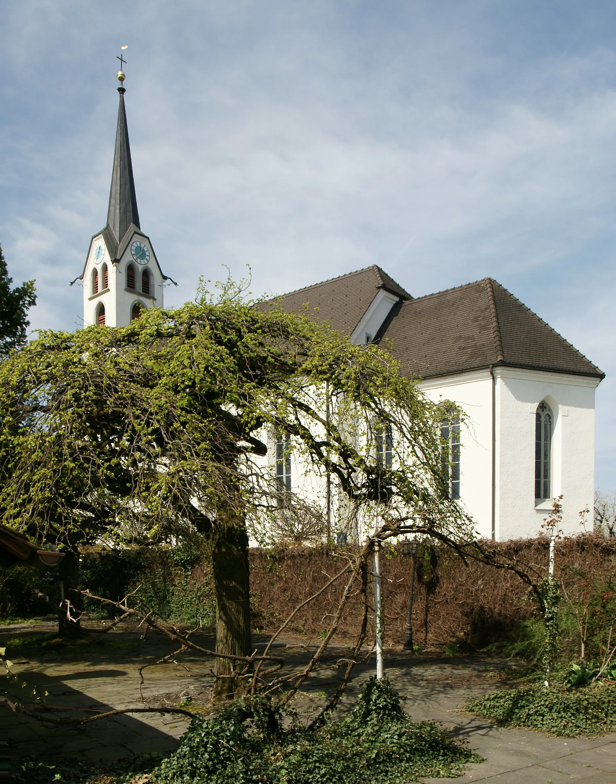
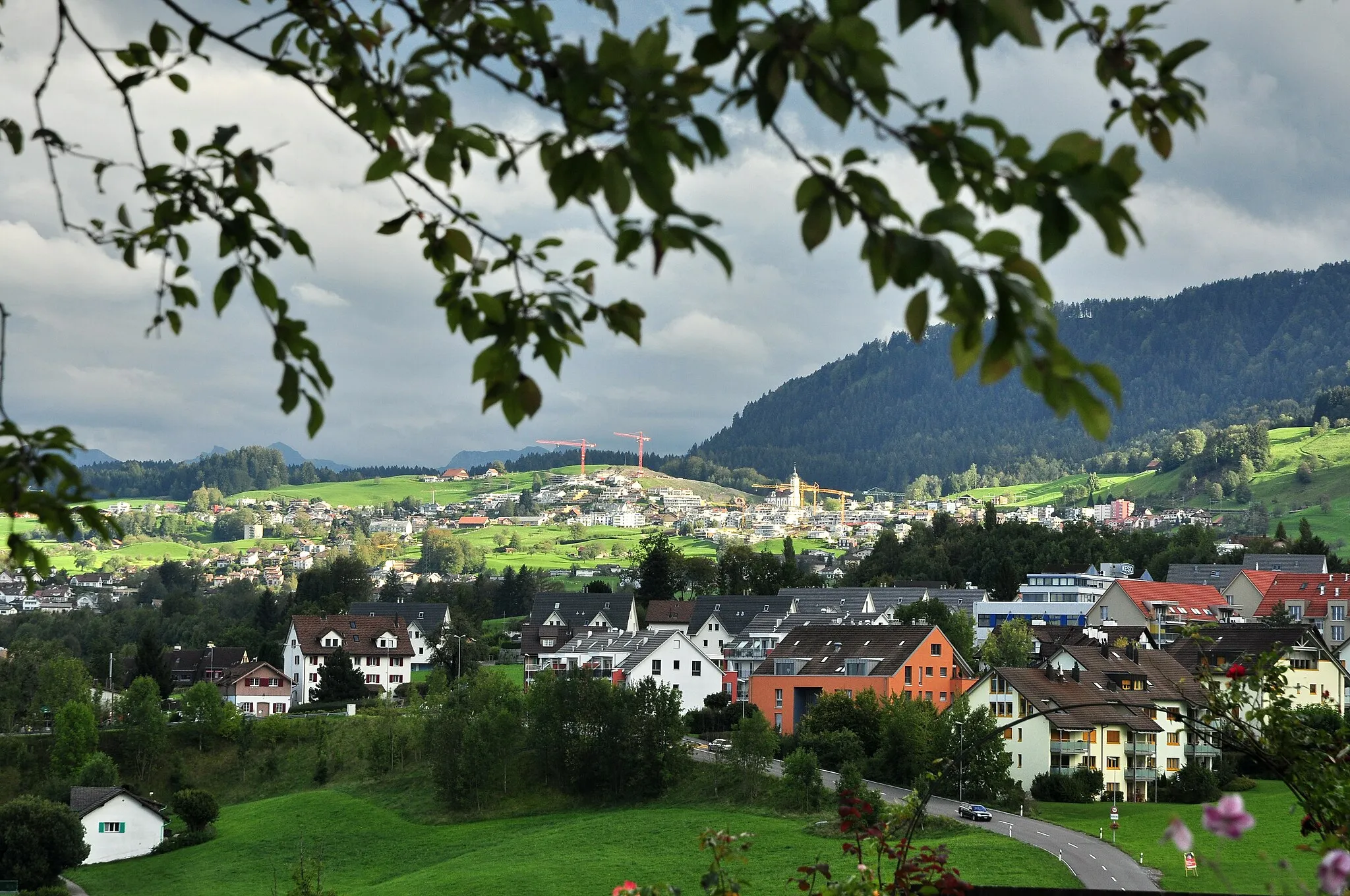
Hallau on tunnelmallinen kohde Sveitsin Ostschweizin alueella, joka tarjoaa kauniita maisemia maantie- ja soratiepyöräilijöille. Lähialueen mäkiset reitit ja rauhallinen ympäristö houkuttelevat pyöräilijöitä tutkimaan aluetta. Lähellä sijaitseva Rotenflue on suosittu kiipeilykohde pyöräilijöiden keskuudessa.
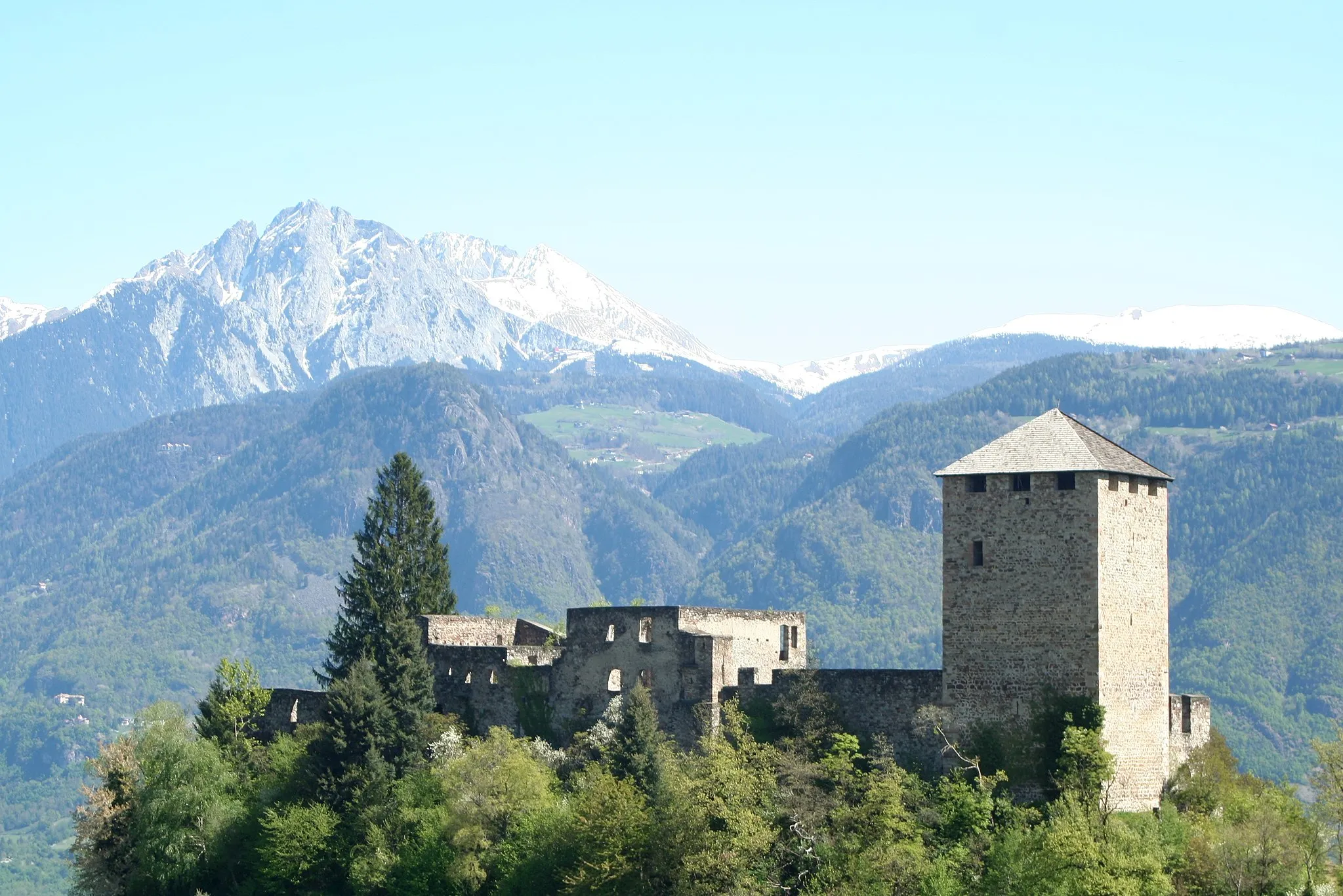
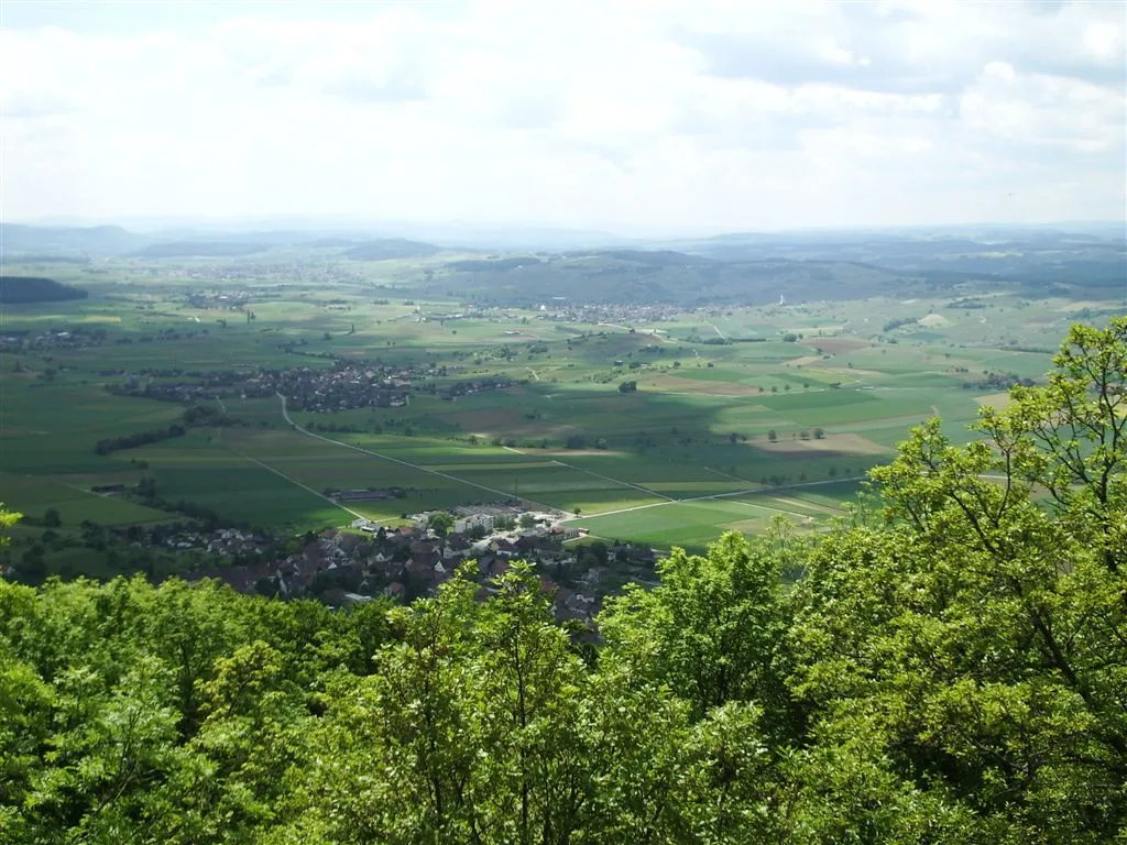
Kaunis reitti läpi Ostschweizin alueen, joka tarjoaa upeita näkymiä ja mielenkiintoisia pysähdyspaikkoja.
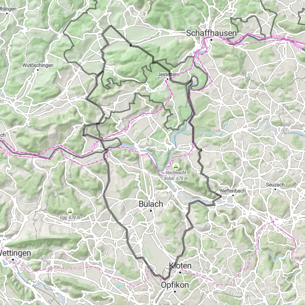
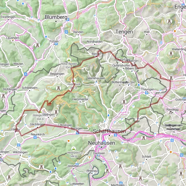
Tämä 91 kilometrin mittainen maantiepyöräreitti tarjoaa upeita maisemia ja haastavia mutkia. Matkan varrella voit pysähtyä ihailemaan Jestettenin viehättävää kaupunkia ja Aussichtsturm Irchelin näköalatornia. Lisäksi reitti kulkee läpi historiallisten kyläiden ja vehreiden maisemien. Loppupäässä voit rentoutua Hornbuckin rauhallisessa ympäristössä ennen paluuta Hallauhun.
Discover the beauty of the Ostschweiz region on this scenic gravel adventure
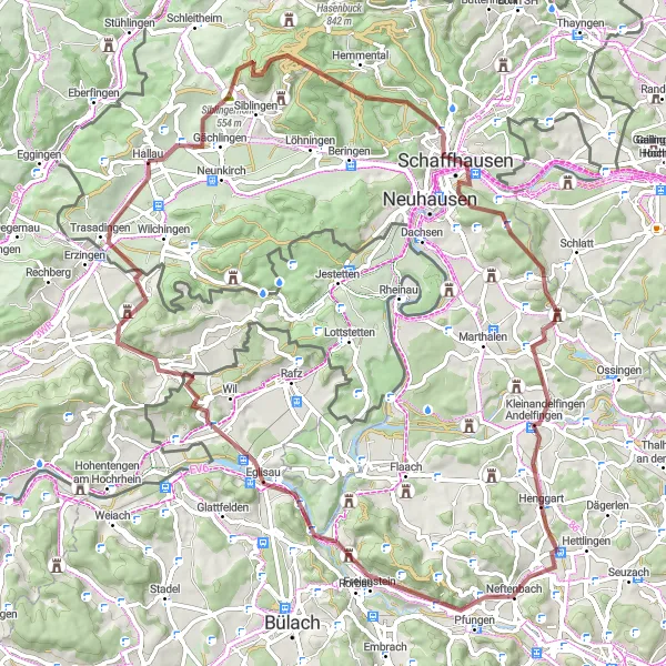
Embark on a 74 km gravel route with 1151 meters of ascent, showcasing the diverse landscapes and charming villages of the region. Highlights include the historic village of Gächlingen, the picturesque town of Schaffhausen, and the tranquil surroundings of Wilchingen. Enjoy a mix of challenging climbs and scenic descents on this unforgettable cycling journey.
Discover picturesque villages and rolling hills on this scenic gravel route
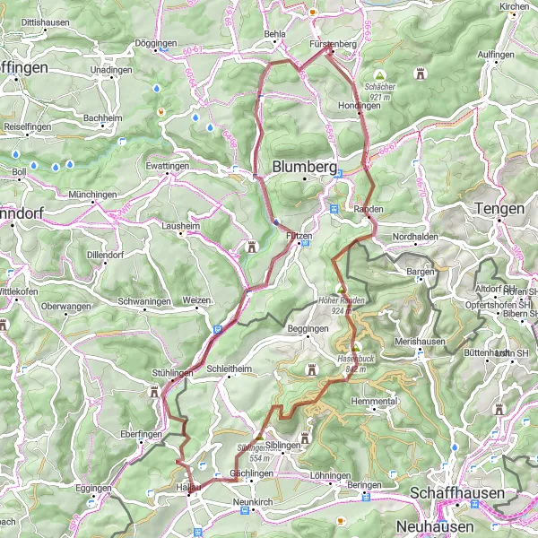
This 66 km gravel route offers a challenging ride with 1261 meters of ascent. Highlights include the charming village of Stühlingen, the panoramic views from Hundingen, and the peaceful surroundings of Gächlingen. Experience the beauty of the Ostschweiz region on this adventurous cycling tour.
Embark on a thrilling gravel ride through diverse landscapes and charming villages
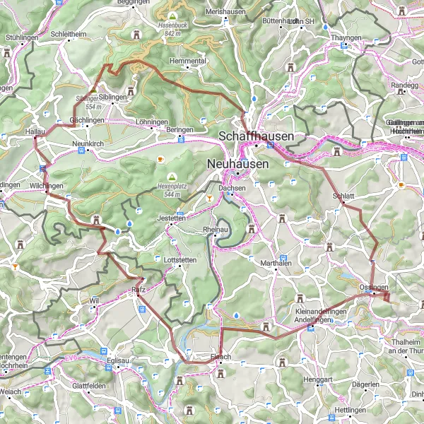
Covering 83 km with 1401 meters of ascent, this gravel route showcases the beauty of the Swiss countryside. Highlights include the picturesque village of Gächlingen, the scenic viewpoint of Cholfirst, and the historic town of Eglisau. Enjoy a mix of challenging climbs and exhilarating descents on this adventurous cycling journey.
Jännittävä sora- ja metsäpolkureitti läpi upeiden maisemien ja historiallisten kylien.
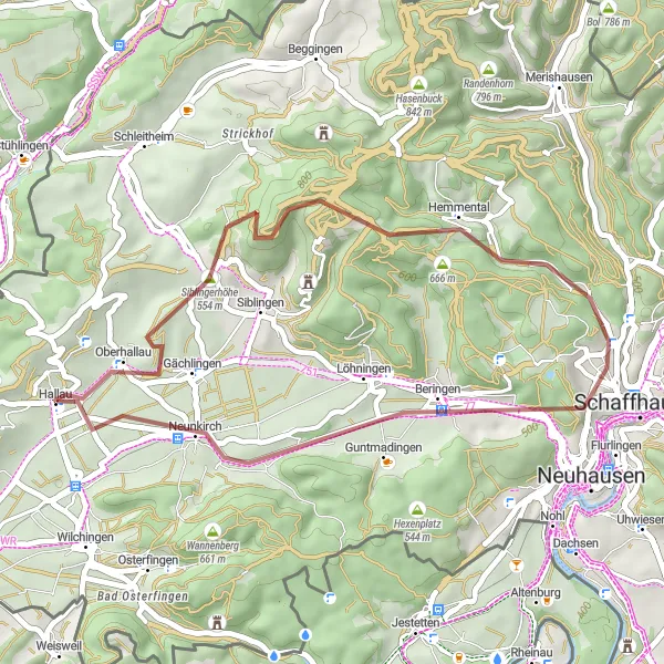
Tämä 35 kilometrin mittainen soratie tarjoaa upeat näkymät ympäröivään luontoon ja vie sinut läpi idyllisten kylien ja metsäisten maisemien. Matkan varrella voit pysähtyä tutustumaan Gächlingenin ja Neunkirchin viehättäviin kyliin sekä ihailemaan Siblingerhöhen upeita maisemia. Reitti tarjoaa hyvän tasapainon haastavien osuuksien ja rentouttavien maisemien välillä.
Koe upea maastoreitti alkaen Hallau ja päättyen Säntis-näköalapaikalle
Tämä 67 km:n reitti tarjoaa upeita maisemia ja 1291 metrin nousun. Matkan varrella voit poiketa mm. Ruine Randenburgin raunioille ja läheltä Bargenin kylää. Reitti kulkee myös Altdorfin kautta ja tarjoaa upeita näkymiä Säntis-vuorelle. Nauti pyöräilystä ja tutustu alueen historiaan ja luontoon.
Hallau - Kaiserstuhl Route
Scenic road cycling route with challenging climbs
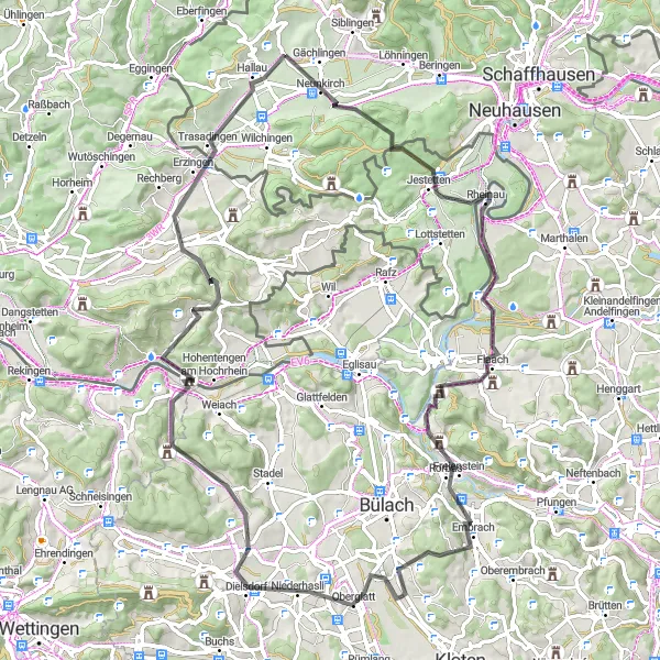
This 85 km road cycling route offers breathtaking views along the way, passing through Jestetten, Berg am Irchel, and Embrach. The highlight of the route is the Kaiserstuhl area, known for its picturesque vineyards and charming villages. With a total ascent of 1163 m, this route is suitable for experienced cyclists looking for a rewarding challenge.
Schleitheim - Neunkirch Route
Picturesque road cycling route through charming villages
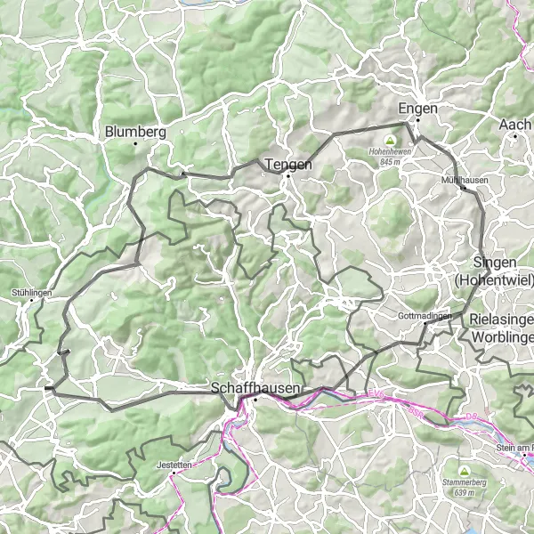
With a total distance of 89 km and an ascent of 1125 m, this road cycling route is perfect for cyclists looking to explore the beauty of the Swiss countryside. Highlights include the historic towns of Schleitheim, Tengen, and Schaffhausen. The route offers stunning views of the Rhine River and picturesque vineyards along the way.
Trasadingen - Erzingen Route
A challenging road cycling route with diverse highlights
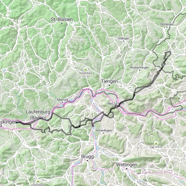
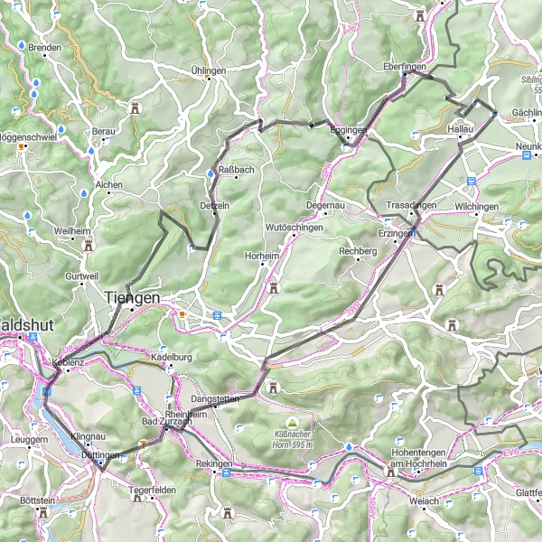
Covering a distance of 115 km with an ascent of 1822 m, this route is perfect for cyclists seeking a challenging ride. Highlights include the picturesque towns of Trasadingen, Laufenburg, and Tegerfelden. The route also passes through scenic landscapes and offers stunning views of the Swiss countryside.
Experience the thrill of road cycling on this challenging route through stunning landscapes
Covering 68 km with 1100 meters of ascent, this road cycling loop offers a mix of challenging climbs and exhilarating descents. Highlights include the picturesque village of Trasadingen, the historic town of Koblenz, and the scenic viewpoint of Vitibuckturm. Enjoy the smooth tarmac roads and beautiful scenery on this exciting cycling adventure.
Lähellä olevat pyöräilyreitit:
Läheiset alueet: