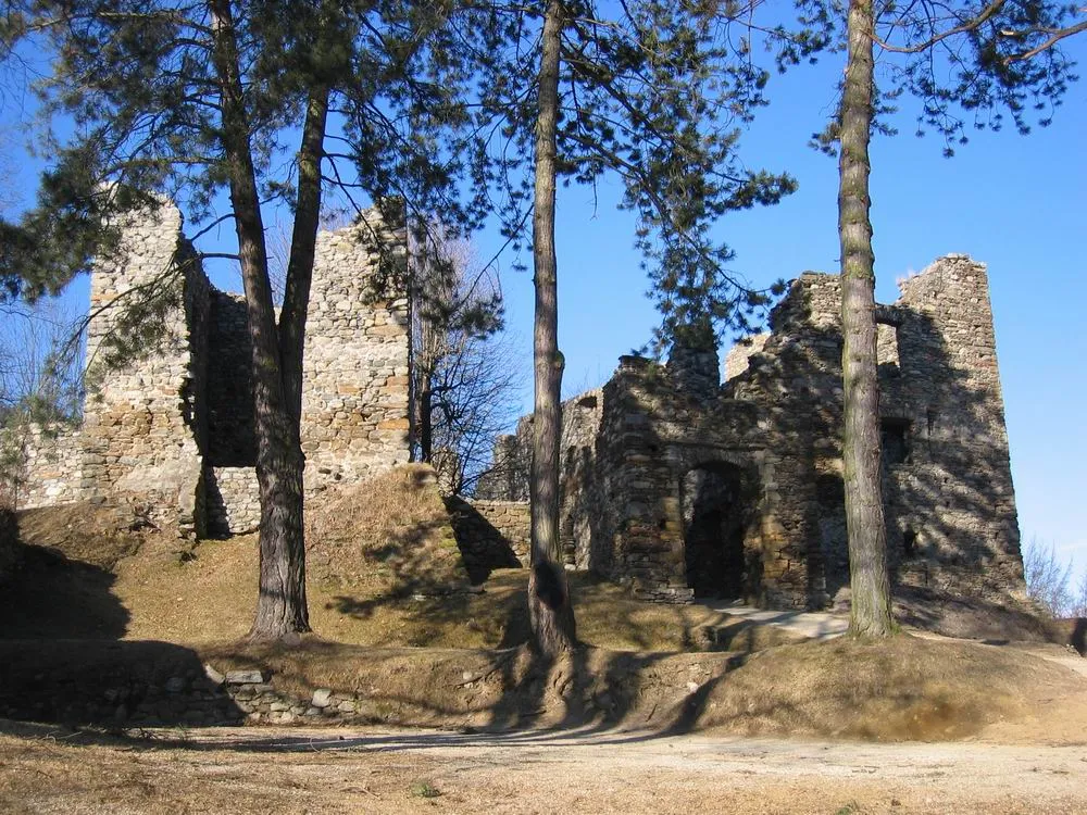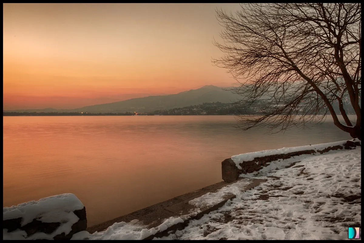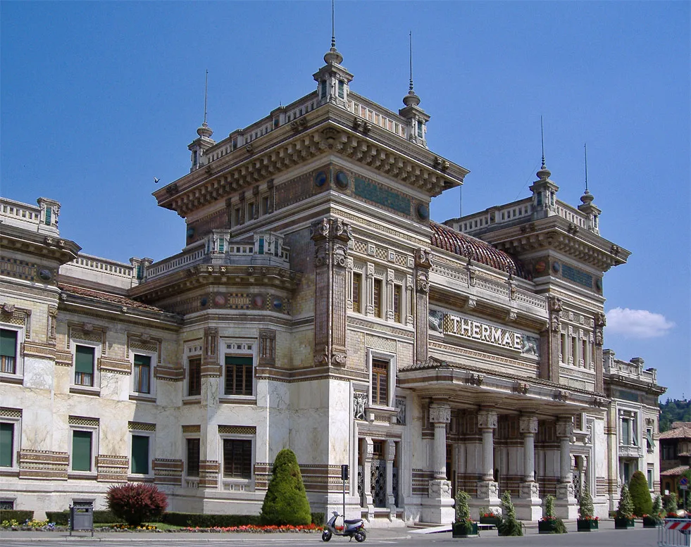
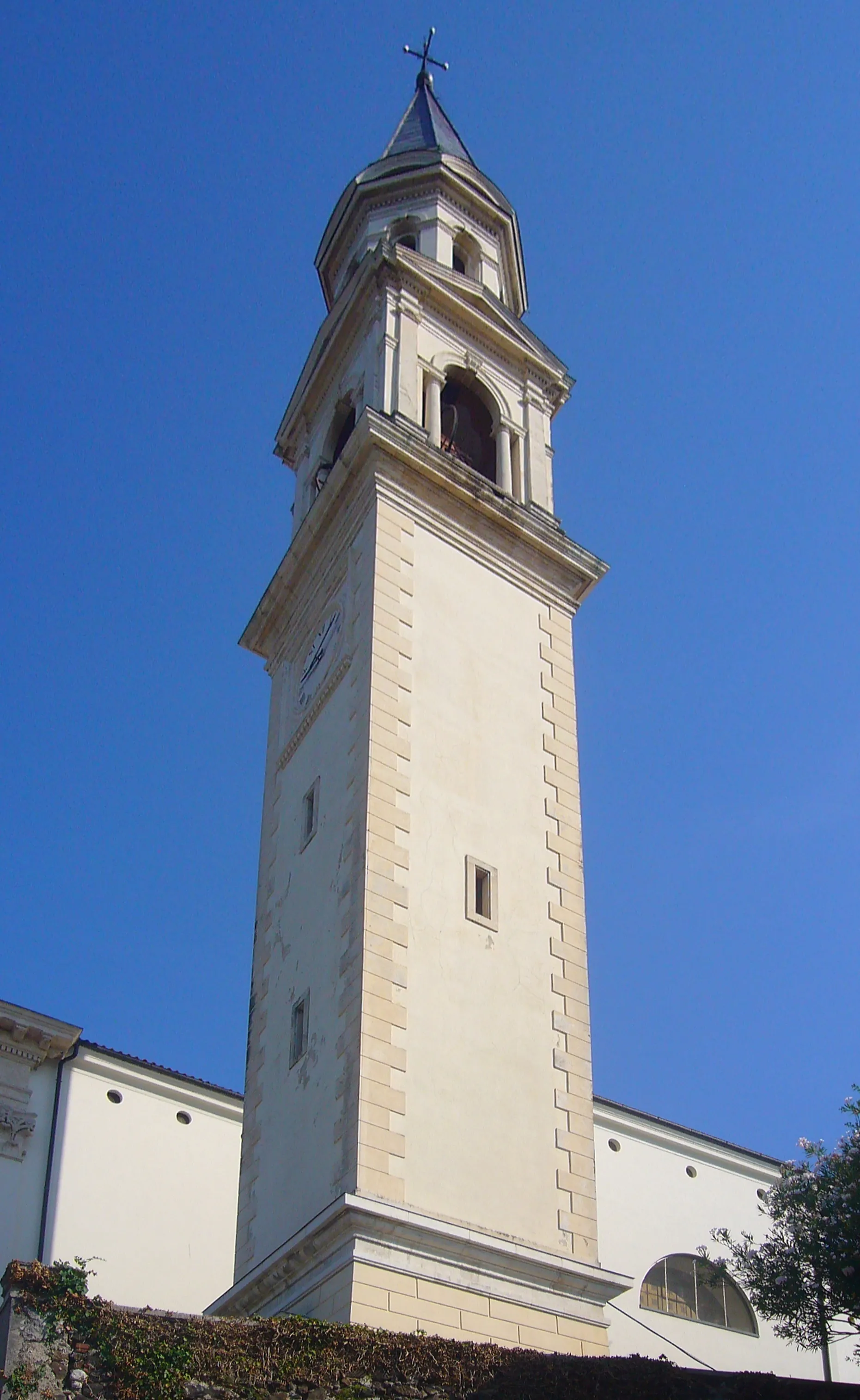
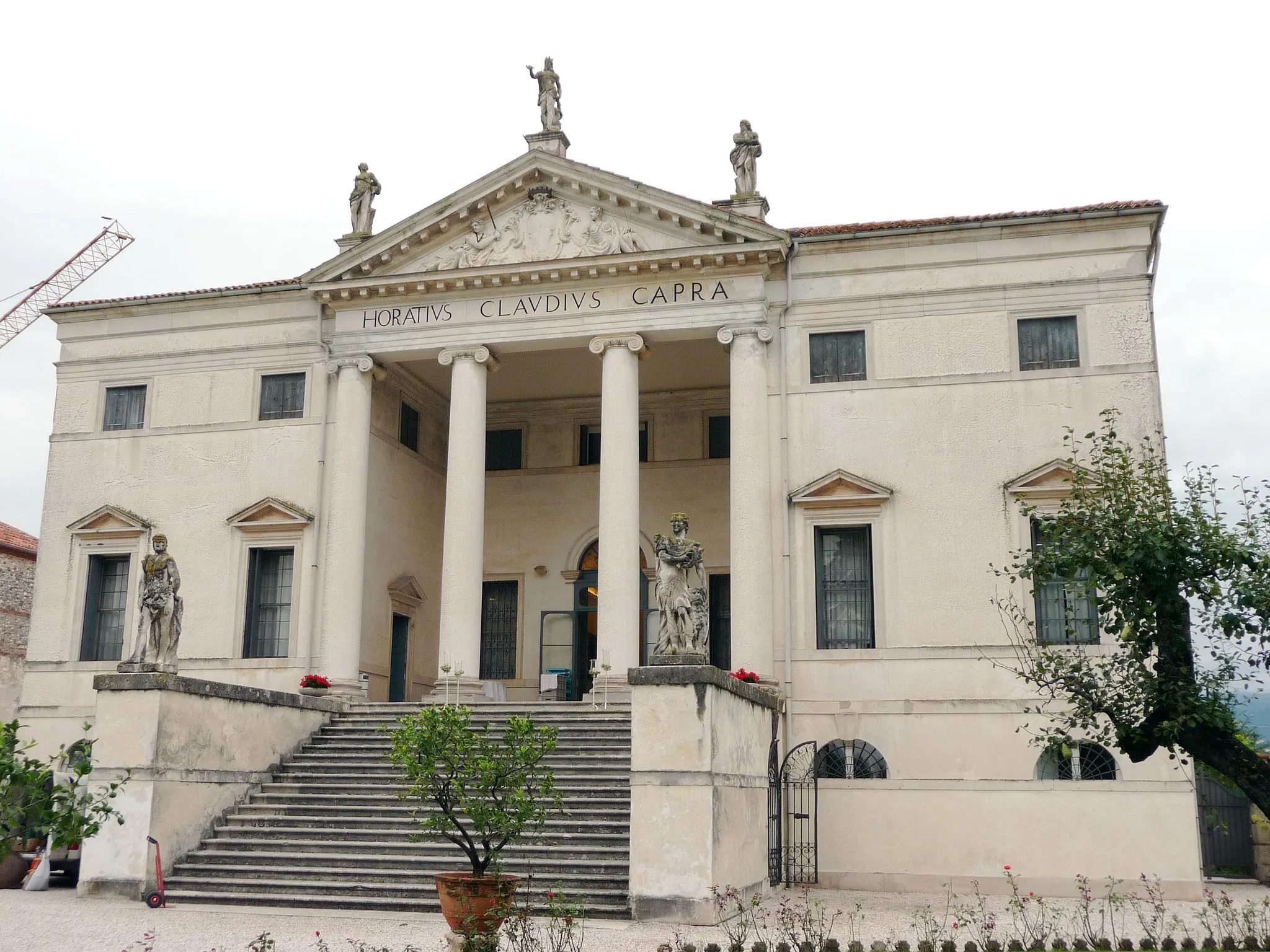
Piękne krajobrazy i historyczne zabytki w okolicy.
Trasy rowerowe wokół Lugo di Vicenza
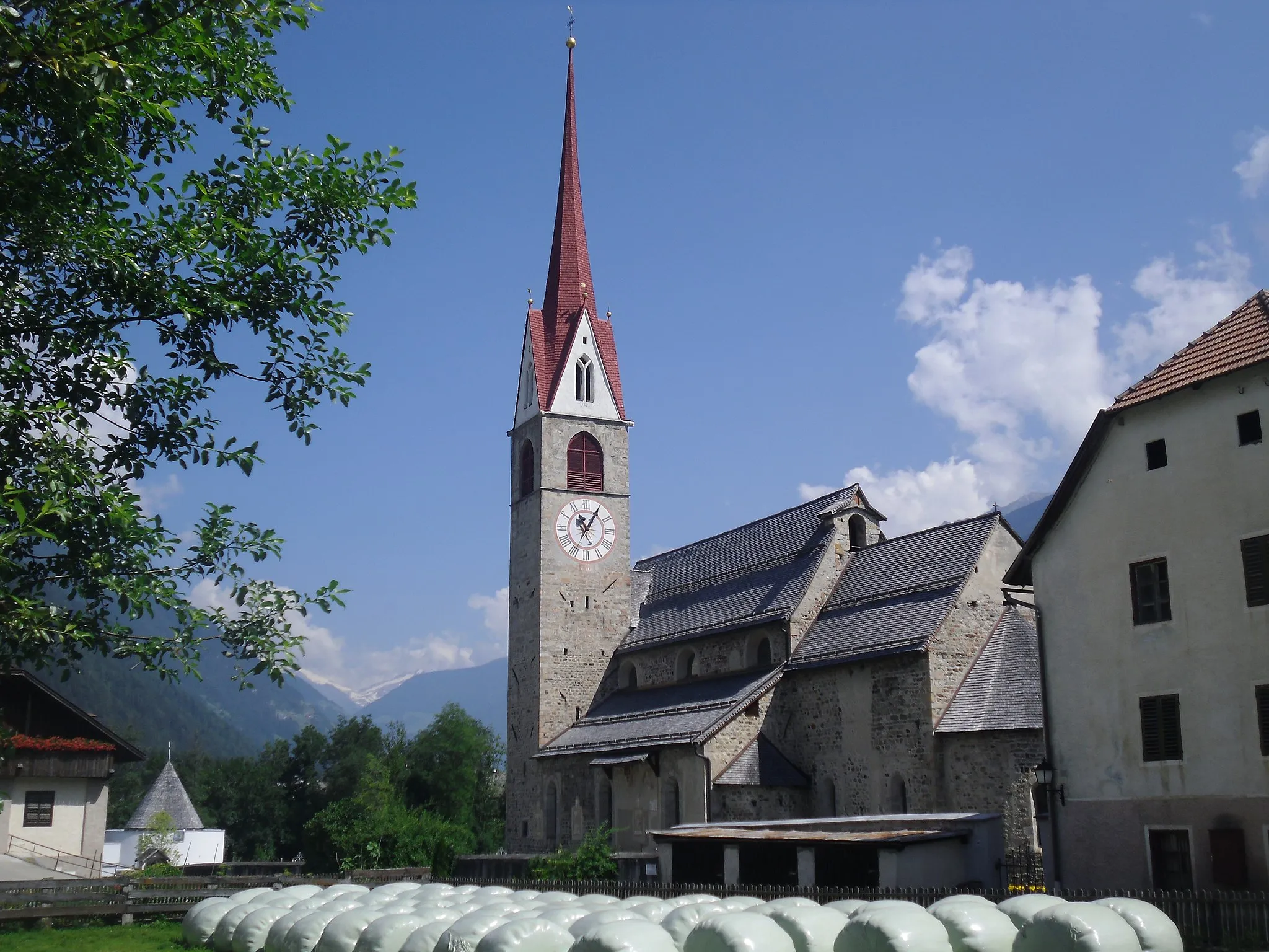
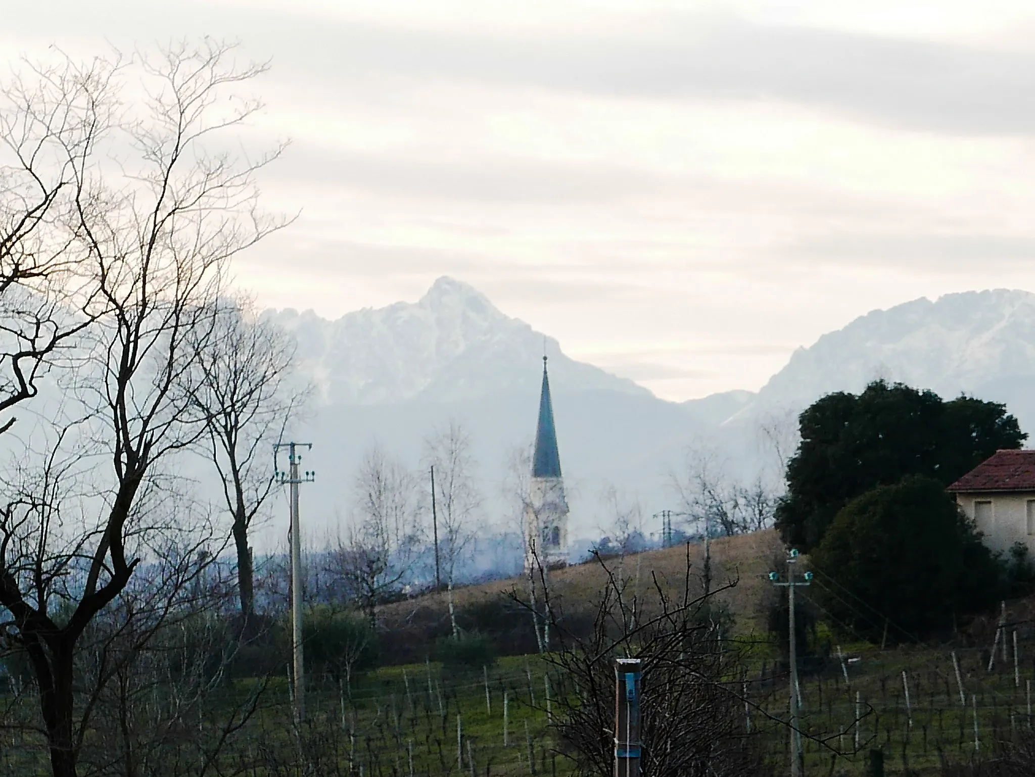
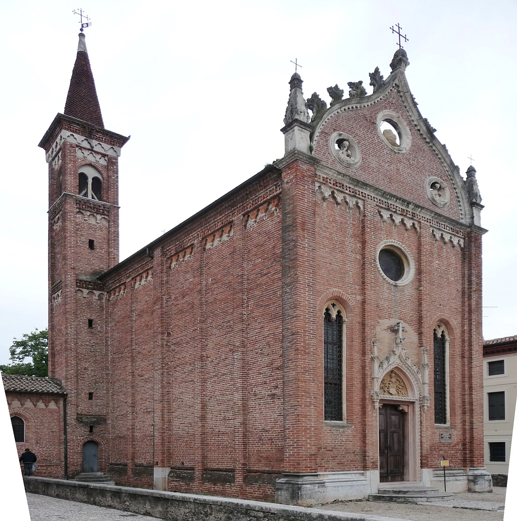
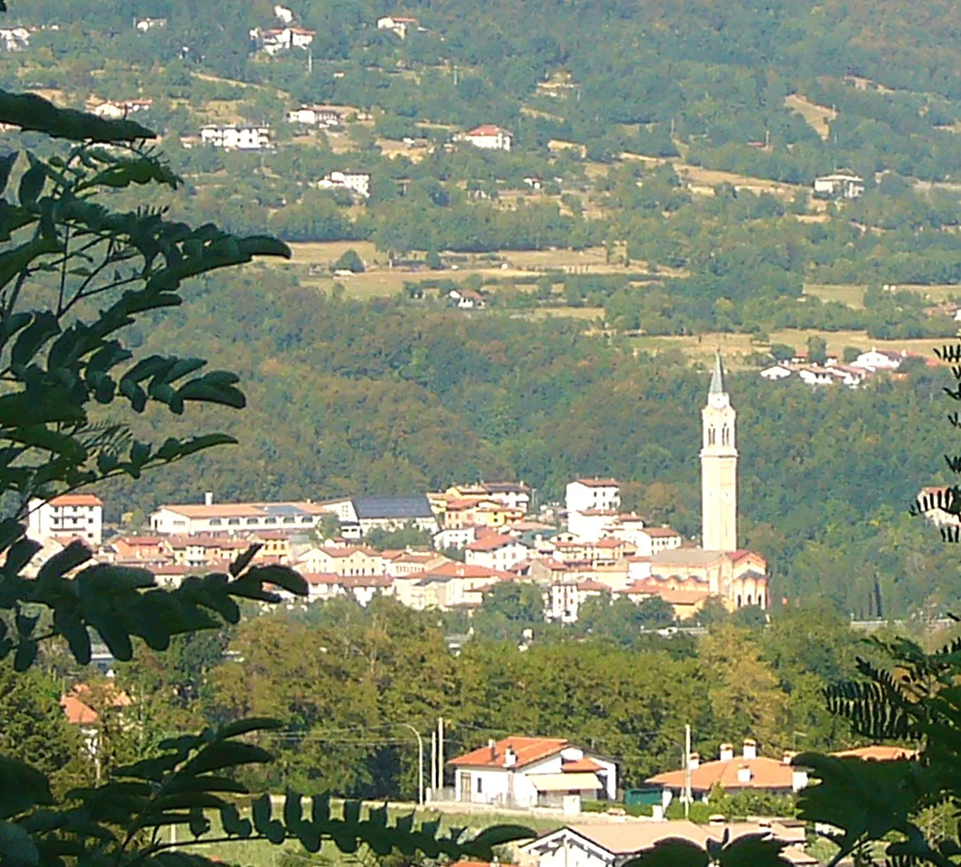
Lugo di Vicenza to urokliwa miejscowość w regionie Veneto we Włoszech. Jako rowerzysta szosowy możesz odkrywać piękne krajobrazy i historyczne zabytki w okolicy. W pobliżu znajdują się również znane trasy rowerowe, które przyciągają miłośników kolarstwa. Infrastruktura dla rowerzystów jest dobrze rozwinięta.
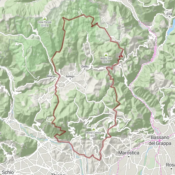
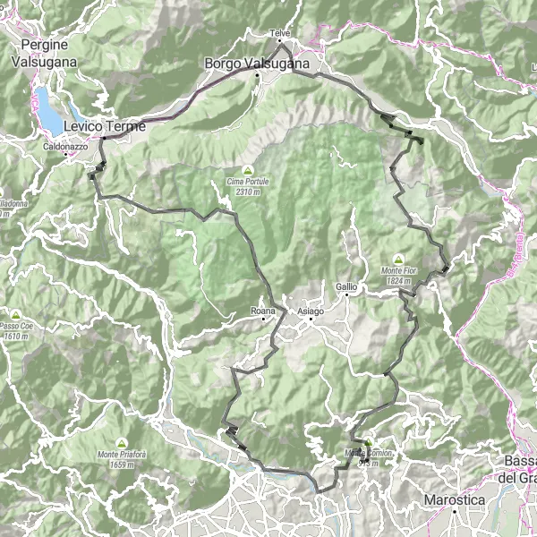
Roads of the Alps
An epic road cycling adventure through the majestic Alps
Embark on an 84 km long journey through the Alps on well-maintained roads with breathtaking views. Explore iconic locations like Monte Grumo Alto, Monte Croce, Canove, Gallio, Pizzo Razza, La Montagnola, Laverda, and end your ride in Zugliano.
Trasa Monte Zavagnin
Przejażdżka przez malownicze wzgórza Veneto
Trasa prowadzi przez urokliwe miejscowości, mijając Monte Rasta i Asiago. Można podziwiać panoramę z Monte Agro i zatrzymać się na kawę w Campomezzavia. Przejazd przez La Montagnola i Monte Cornion zapewnia niezapomniane wrażenia. Wizyta na szczycie Punta Campo to obowiązkowy punkt programu.
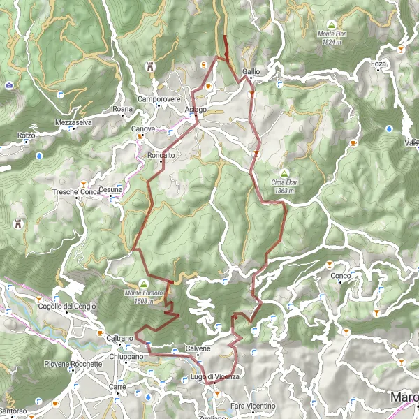
Trails of the Gravels
An amazing gravel ride with a touch of adventure and stunning views
Trails of the Gravels is a 51 km long route offering exciting off-road cycling through beautiful landscapes. Along the way, you will pass by Calvene, Monte Cucco, Canove, Monte Tondo, Monte Tena, and finally back to Lugo di Vicenza.
Niezwykła trasa gruszkowa z pięknymi widokami na południowy zachód Włoch
Trasa gruszkowa o długości 107 km prowadzi z Fara Vicentino przez Monte Zingarella, Foza, aż do San Giorgio di Perlena. Trasa oferuje wyjątkowe widoki na góry i pittoreskowe miejscowości.
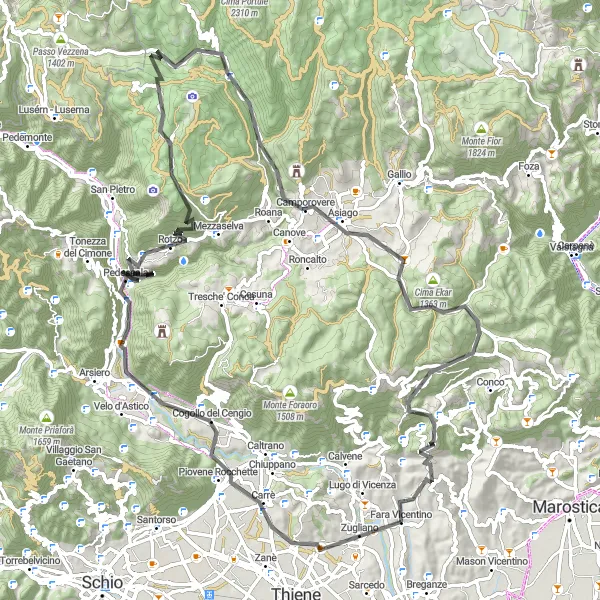
Peaks and Valleys
A challenging gravel ride full of steep ascents and thrilling descents
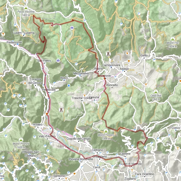
Peaks and Valleys is a 92 km long gravel route that takes you through rugged terrains and remote locations. Explore Eremo di Meda, Forme Cerati, Punta Petone, Forte Verena, Monte Verena, Canove, Monte Lemerle, Monte Tena, and finally return to Lugo di Vicenza.
Trasa Monte Croce
Przejazd przez góry z widokiem na Monte Croce
Trasa prowadzi przez spektakularne krajobrazy górskie, mijając m.in. Monte Lemerle i Levico Terme. Można podziwiać panoramę z Forte Busa di Verle i zatrzymać się na nocleg w Ospedaletto. Przejazd przez Passo Stretto to niezapomniane przeżycie.
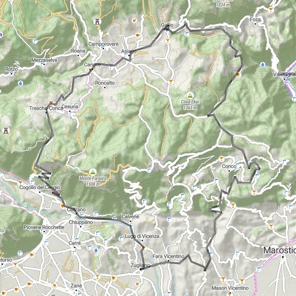
Trasa Marostica
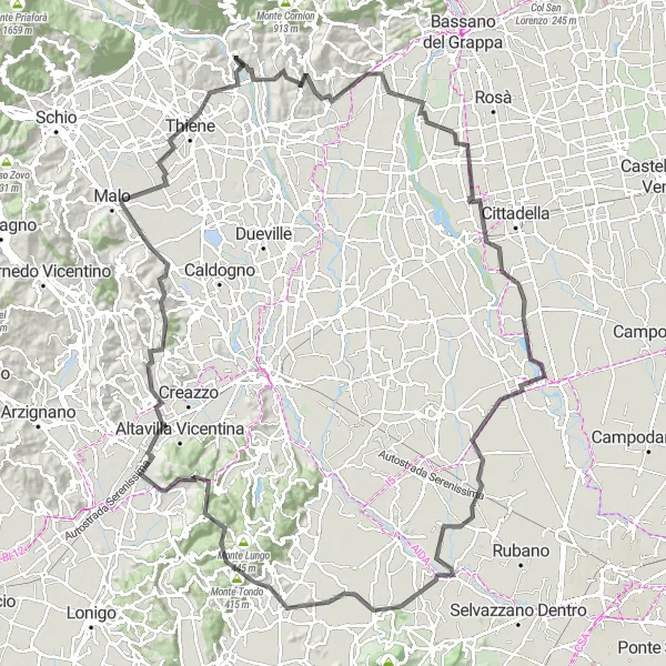
Wyjątkowa trasa z widokiem na Marostica
Przejazd przez urocze miasteczko Marostica, malownicze Veggiano i Villaga. Można podziwiać panoramę z Brendola i zatrzymać się na pyszną kolację w Isola Vicentina. Przejazd przez Punto Panoramico to niesamowite doświadczenie.
Alpine Adventure
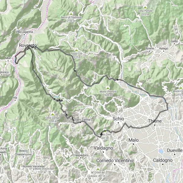
An epic road cycling journey through the majestic Alps and charming villages
Embark on a 150 km long adventure through the Alps, exploring breathtaking landscapes and iconic locations along the way. Discover Thiene, Passo Zovo, Recoaro Terme, Pian delle Fugazze, Speccheri, Teleferica, Marco, Rovereto, San Colombano, Zoreri, Passo della Borcola, monte Pelle, Arsiero, Monte Grumo Alto, and finally end your ride in Zugliano.
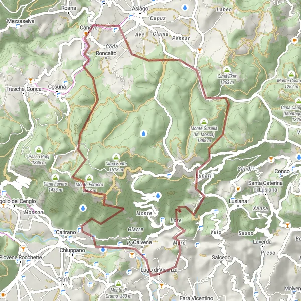
Scenic Circuit
A picturesque gravel ride through scenic countryside and charming villages
Scenic Circuit is a 60 km long gravel route that takes you through quaint villages and stunning landscapes. Explore Calvene, Cima Fonte, Monte Lemerle, Asiago, Gallio, Monte Tondo, Monte Tena, Villa Piovene, and return to Lugo di Vicenza.
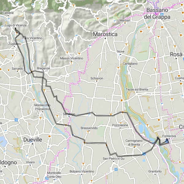
Przejazd przez urocze Fara Vicentino
Trasa prowadzi przez malownicze krajobrazy, mijając Sandrigo i kończąc się w Lugo di Vicenza. Można zatrzymać się na obiad w Poianella i zrelaksować na zielonych łąkach Fara Vicentino.
Trasy rowerowe w okolicy:

Sąsiednie regiony: