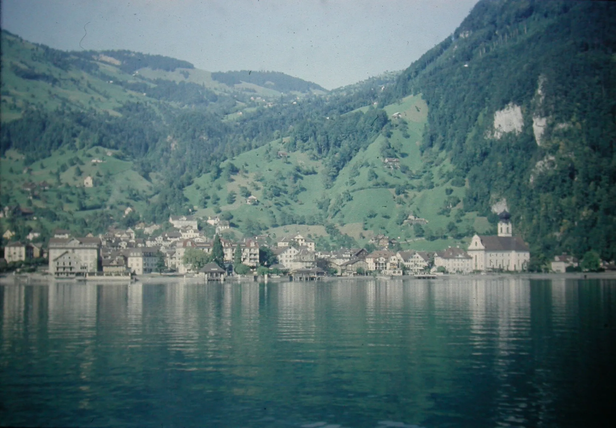
Urokliwe miasteczko wśród wzgórz Espace Mittelland
Trasy rowerowe wokół Trubschachen
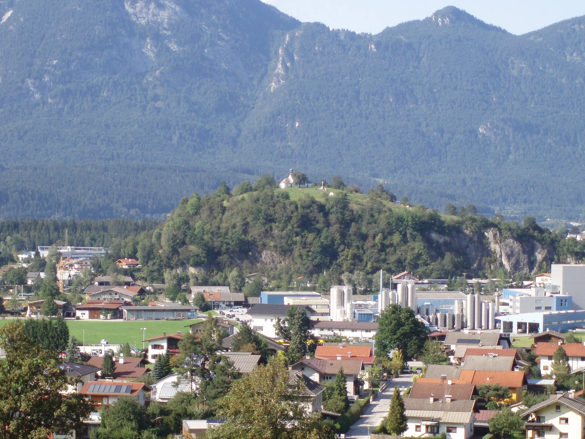
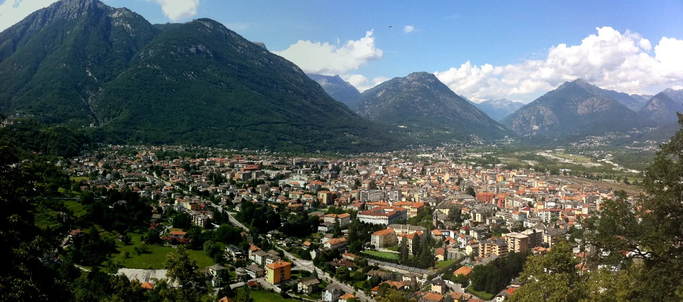
Trubschachen to małe miasteczko w regionie Espace Mittelland, które oferuje piękne trasy rowerowe po okolicznych wzgórzach i dolinach. W pobliżu znajduje się malownicze jezioro Thunersee, które jest popularnym miejscem wypoczynku dla rowerzystów. W okolicy można także znaleźć wiele uroczych kawiarni i restauracji, idealnych na przerwę podczas wycieczki rowerowej.
Wycieczka szutrowa w malowniczym regionie Gór Napf
Trasa prowadzi przez fascynujący teren Gór Napf, oferując niesamowite widoki i wiele możliwości do odkrywania. To wyjątkowa przejażdżka dla miłośników przyrody i szutrowych tras, pełna niezapomnianych chwil i wrażeń.
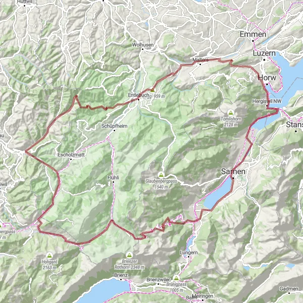
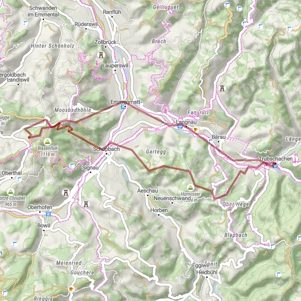
Kadelmann - Geissrügge Trail

Adventurous gravel route through rugged mountain terrain and scenic valleys
Embark on a 70km gravel adventure near Trubschachen, cycling through the challenging Kadelmann pass, past the scenic Aussichtsturm Chuderhüsi tower, and up to the rugged Geissrügge ridge. Experience the thrill of off-road cycling, test your skills on challenging ascents, and enjoy the breathtaking views along the way.
Rowerowa wyprawa przez Dürrenroth

Przejazd przez urocze Dürrenroth i okoliczne tereny
Trasa prowadzi przez malownicze Dürrenroth i inne interesujące miejscowości, oferując niezapomniane widoki i wiele możliwości do odkrywania. To idealna trasa dla miłośników kultury i historii, zapewniająca niezwykłe doznania z podróży.

Przejażdżka szutrowa w malowniczym regionie Eriz
Trasa zapewnia niezapomniane wrażenia z jazdy przez urokliwy Eriz i okoliczne tereny. To idealna trasa dla miłośników szutrowych wyzwań i pięknych krajobrazów, pełna ciekawych zakątków do odkrycia i niezapomnianych widoków.

Scenic road route with challenging climbs and rewarding descents
This 75km road route starting near Trubschachen takes you on a thrilling journey through the Bircheneggchnubel pass, past the quaint village of Eggiwil, and up to the challenging Turner climb. Enjoy the exhilarating descents, picturesque landscapes, and charming Swiss towns along the way.

Przejażdżka przez malownicze Langnau i okolice
Trasa prowadzi przez urokliwe Langnau oraz inne interesujące miejscowości, oferując piękne widoki i wiele atrakcji turystycznych. To doskonała trasa dla miłośników kultury i natury, zapewniająca niezapomniane wrażenia z podróży.

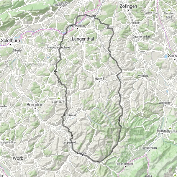
Przygoda gravelowa po malowniczych ścieżkach Espace Mittelland, oferująca wyjątkowe wrażenia turystyczno-przyrodnicze.
Trasa o długości 75 km i przewyższeniu 1993 m prowadzi przez zachwycające tereny, takie jak Bärau, Horüti czy Huttwil, pozwalając w pełni doświadczyć piękna krajobrazu regionu. Rekreacyjne zatrzymania w Chrüzhöchi, Wyssachen i Rislauhoger dodają smaku podróży, pozwalając przeżyć autentyczny szwajcarski klimat i współczesne życie wiejskie w całej jego okazałości.
Winding road offering stunning mountain views and charming Swiss villages
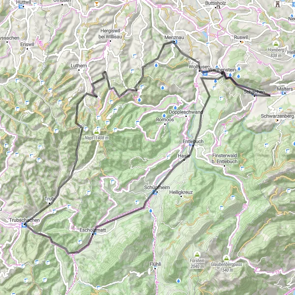
This 89km road route starting near Trubschachen takes you through the picturesque village of Menznau, past the impressive Chrüzhubel peak, and ends in the cozy town of Escholzmatt. Enjoy the challenging ascent and breathtaking scenery along the way.
Gravel Adventure to Blasenfluh
Off-road gravel route through rugged terrain and scenic landscapes
This 35km gravel route near Trubschachen takes you on an exciting adventure through the Howacht forest, past the rugged Häleschwand cliffs, and up to the majestic Blasenfluh peak. Experience the thrill of off-road cycling and immerse yourself in the beauty of the Swiss countryside.
Przejażdżka przez malownicze tereny Humberg i Murgenthal
Trasa prowadzi przez fascynujące Humberg i Murgenthal, oferując niesamowite widoki i wiele atrakcji turystycznych. To wyjątkowa wyprawa dla miłośników kultury i historii, pełna niezapomnianych chwil i wrażeń z podróży.
Trasy rowerowe w okolicy:

Sąsiednie regiony: