Maria Saaler Berg Challenge
A road cycling route starting from Annabichl
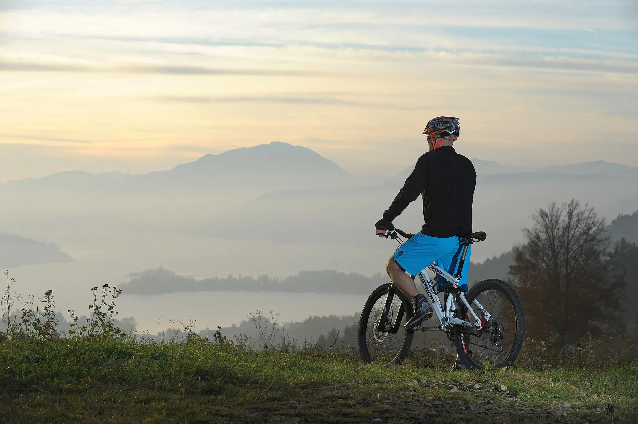
Take on the challenge of Maria Saaler Berg and enjoy breathtaking views.
Map
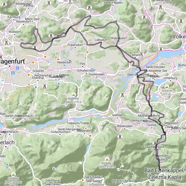
Experience a challenging road cycling route through the beautiful countryside near Annabichl. The highlight of the route is the epic Maria Saaler Berg, offering stunning views from the summit. With a distance of 98 km and a total ascent of 1228 m, this route is suitable for well-trained amateur riders. Other highlights along the route include Poggersdorf, Infoblick Stein, and the picturesque village of Stein im Jauntal.
road
98 km
1228 m
Tough
Route profile
Highlights on the route
0 km
0 km
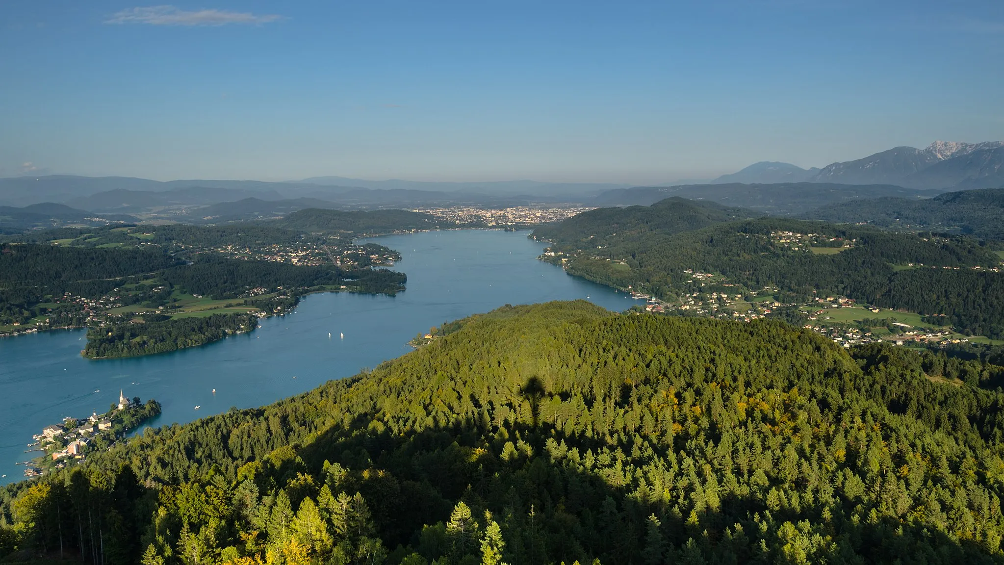
Start: St.Georgen am Sandhof Village centerAnnabichl: Breathtaking mountain rides with views of the Alps in Annabichl, Austria's Kärnten region.
Annabichl, situated in Austria's Kärnten region, provides wonderful cycling options for road and gravel cyclists. The locality offers diverse routes, including challenging mountainous terrains and scenic paths alongside picturesque lakes. Cyclists can enjoy breathtaking views of the surrounding Alps as they conquer the climbs and explore the stunning landscapes. While not home to any famous climbs, Annabichl ensures an immersive and captivating cycling experience. With its combination of challenging terrains and natural beauty, Annabichl is a paradise for cycling enthusiasts.3 km
3 km
Maria Saaler Berg746 mPeakCycle up Maria Saaler Berg, a challenging but rewarding climb.
15 km
15 km
PoggersdorfVillagePass by Poggersdorf, a charming Austrian village.
27 km
27 km
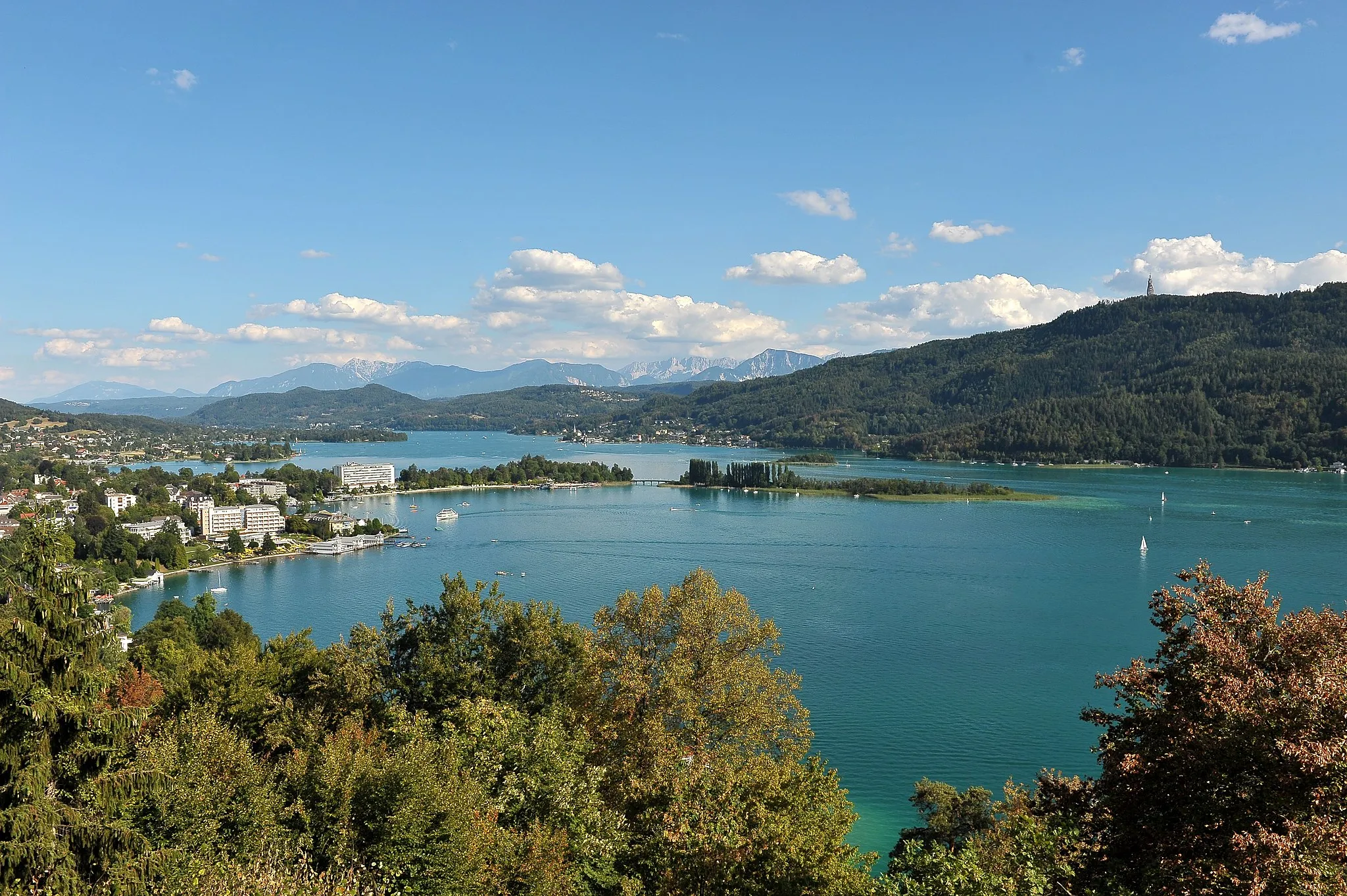
Infoblick SteinViewpointEnjoy the panoramic views from Infoblick Stein.
27 km
27 km
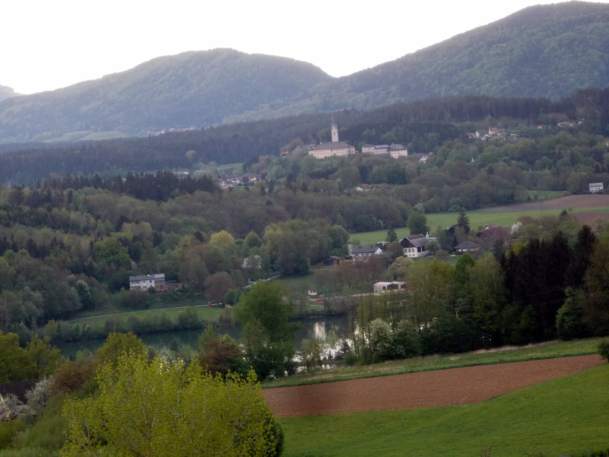
Stein im JauntalVillageVisit the picturesque village of Stein im Jauntal.
45 km
45 km
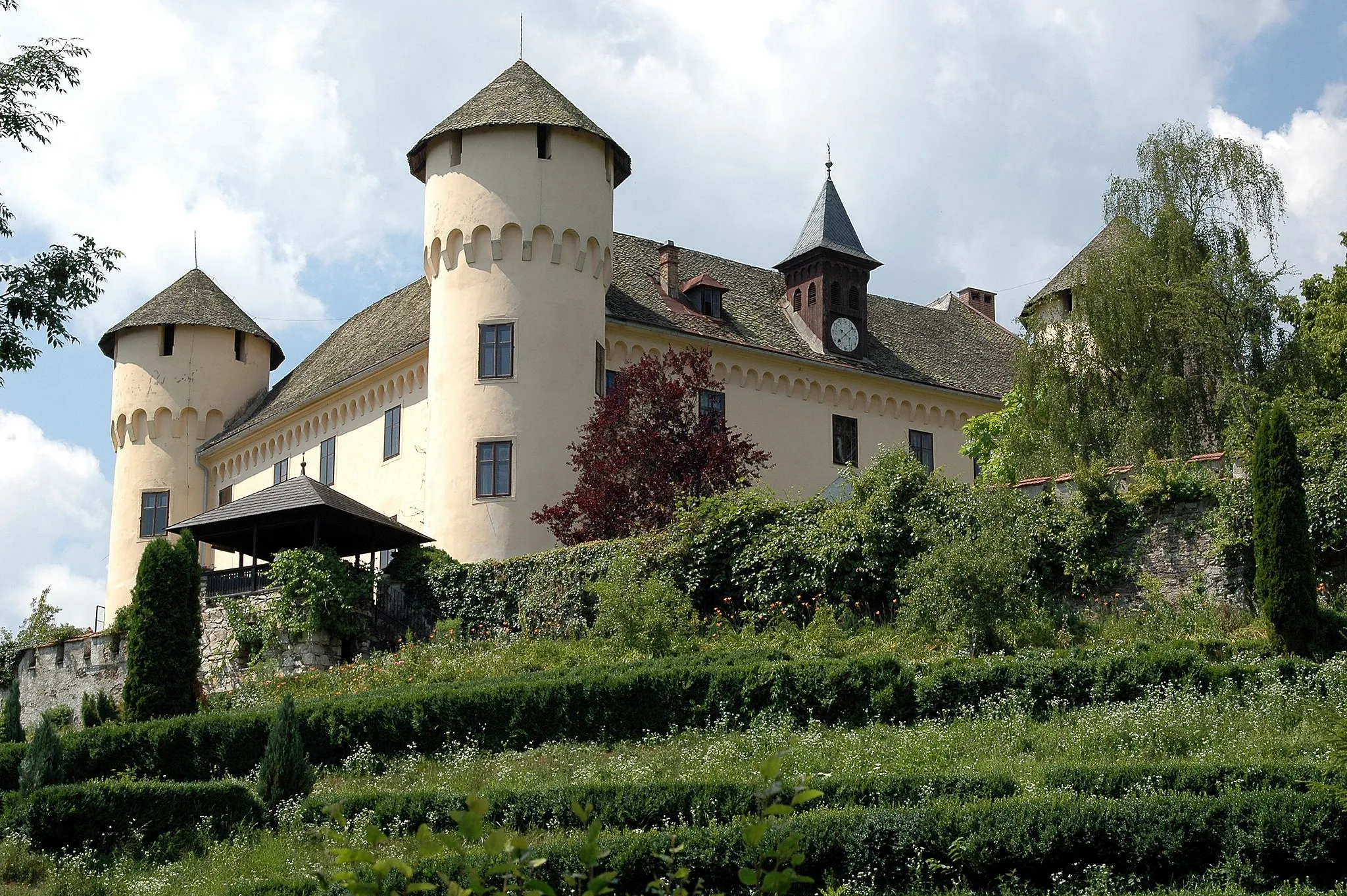
TürkenschanzeCastle RuinsExplore the historic Türkenschanze.
49 km
49 km
Rochuskapelle880 mPeakStop by the scenic Rochuskapelle.
61 km
61 km
Aussichtspunkt KitzelbergViewpointAdmire the views from Aussichtspunkt Kitzelberg.
69 km
69 km
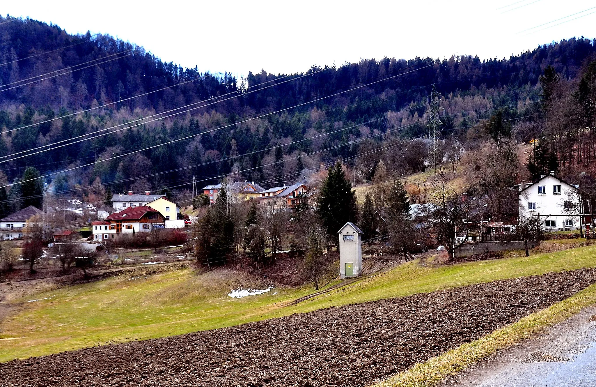
Dullach IIHamletExperience the beauty of Dullach II.
85 km
85 km
PischeldorfVillagePass through Pischeldorf, a traditional Austrian village.
92 km
92 km
Eselberg489 mPeakCycle up Eselberg and enjoy the panoramic views.
98 km
98 km
Finish: St.Georgen am Sandhof Village centerAnnabichl: Breathtaking mountain rides with views of the Alps in Annabichl, Austria's Kärnten region.
Cycling routes nearby: