Mountains and Valleys
A gravel cycling route starting from Radenthein
Unleash your adventurous spirit and conquer challenging mountain terrains
Map

Explore the stunning mountain landscapes and diverse valleys on this challenging 131-kilometer gravel route with an ascent of 4215 meters. This route is suited for experienced cyclists seeking an adrenaline rush. Highlights include the idyllic village of Patergassen, the breathtaking Turracher Höhe mountain pass, and the scenic Hochrindl plateau. You will also pass through panoramic viewpoints such as Strannerhöhe and Tanneck, offering awe-inspiring vistas.
gravel
131 km
4215 m
Savage
Route profile
Highlights on the route
0 km
0 km
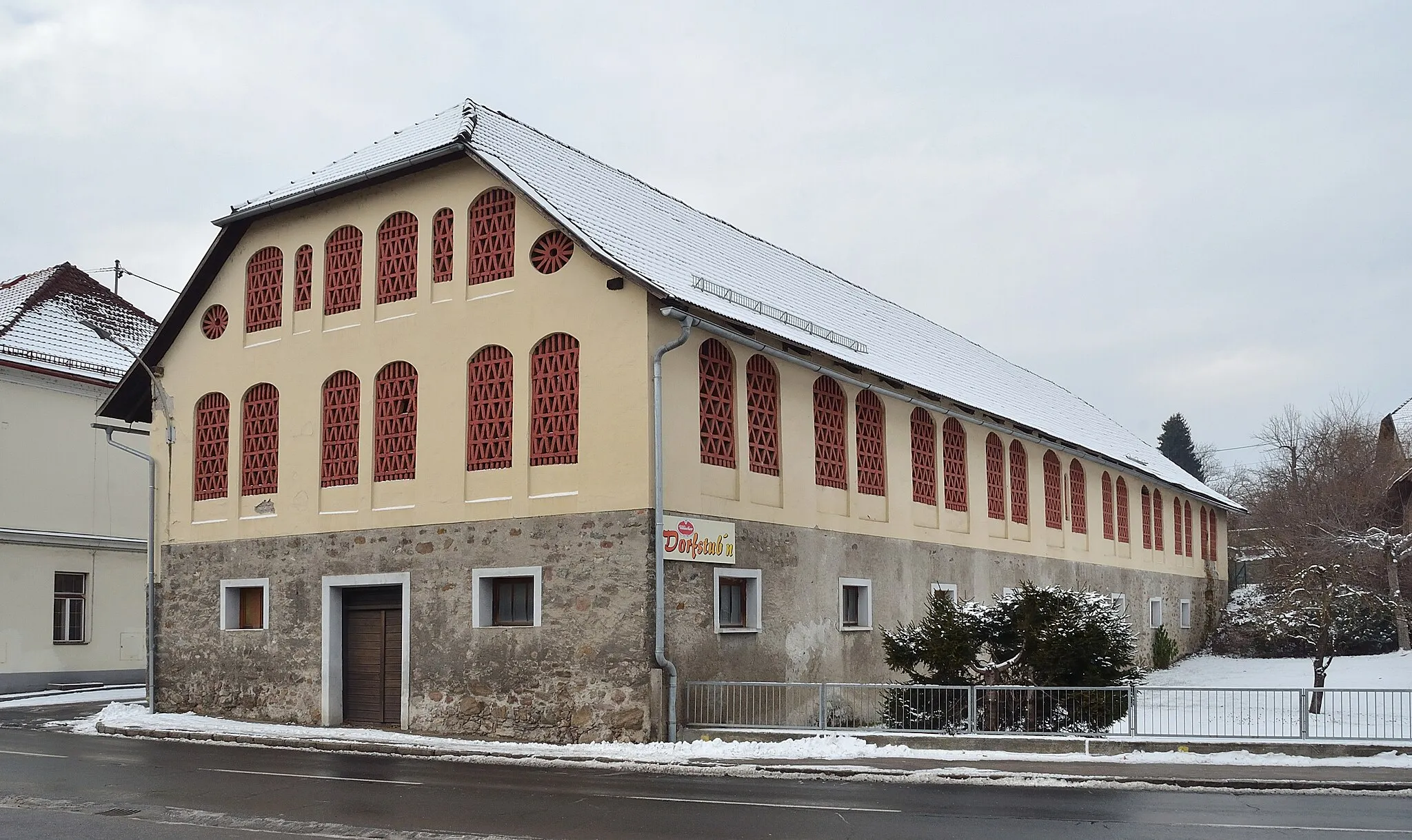
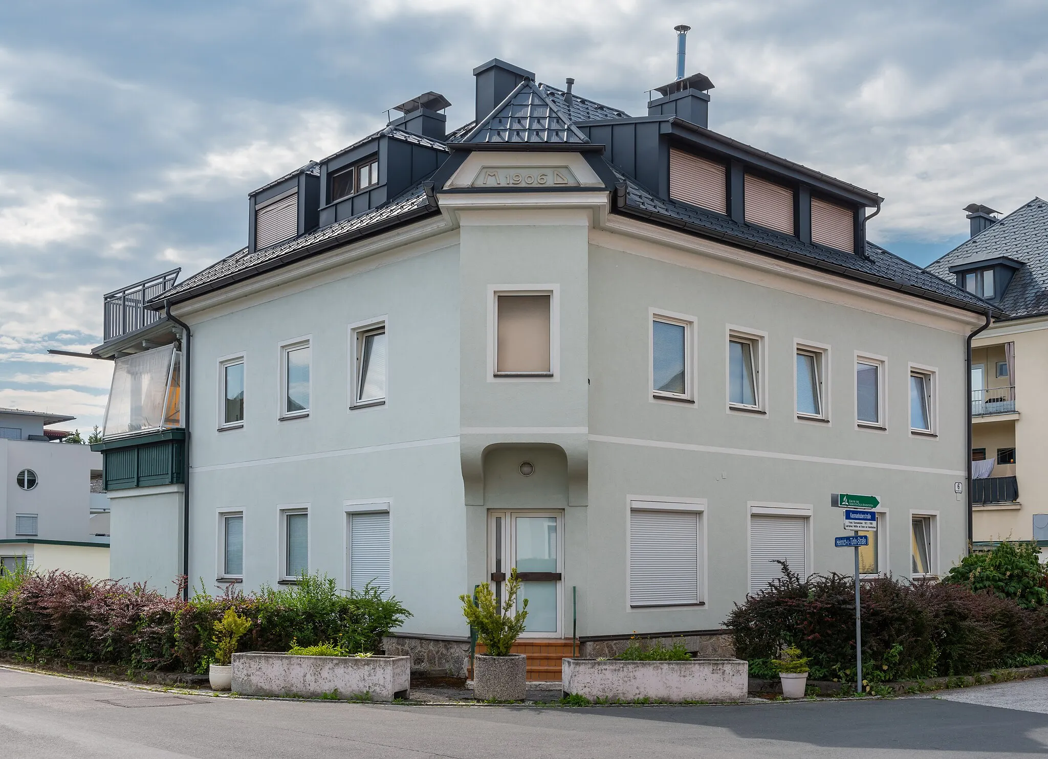
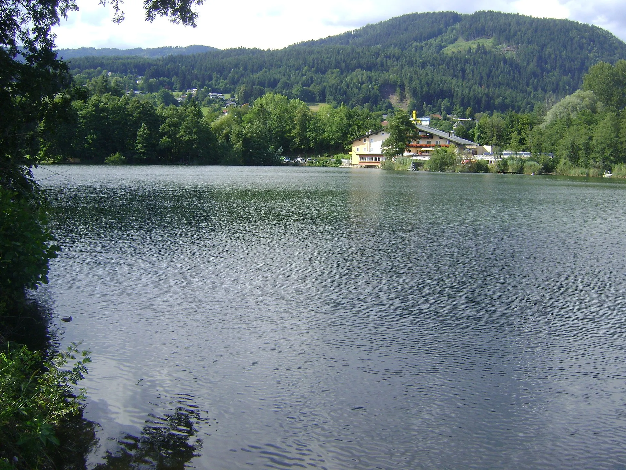
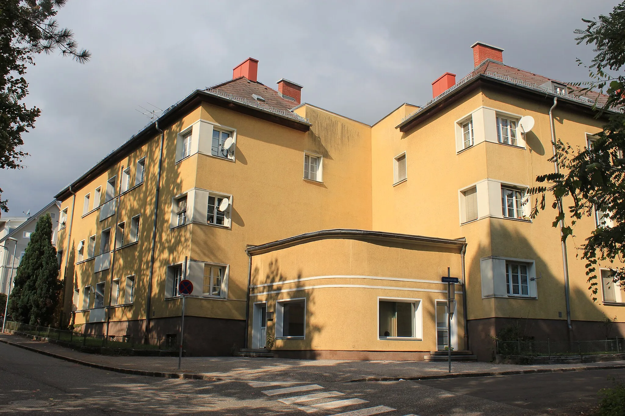
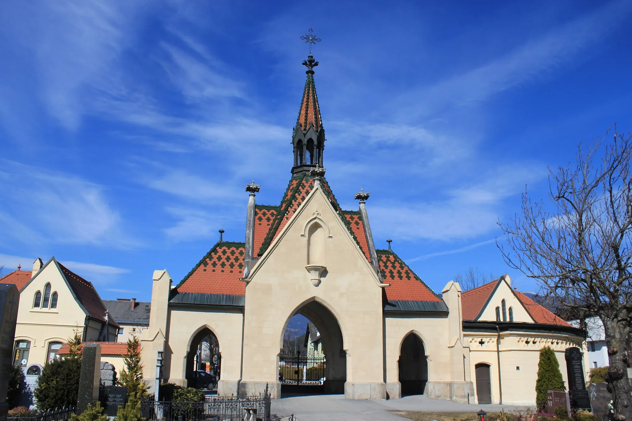
Start: Radenthein City centerRadenthein: Exploring the mountainous roads and trails of Radenthein in Kärnten, Austria.
Radenthein is a municipality in Kärnten, Austria. From a cyclist's perspective, Radenthein offers a mix of road cycling routes and mountain bike trails. The area is surrounded by mountains and forests, providing beautiful scenery for riders. Radenthein itself does not have any famous cycling-related spots, but there are several well-known climbs nearby, including Gerlitzen Alpe. Overall, Radenthein is a great location for both road and mountain biking, with plenty of opportunities to explore the stunning natural surroundings.14 km
14 km
PatergassenVillageEnjoy the peaceful ambiance of Patergassen and soak in the alpine beauty
31 km
31 km
Turracher Höhe1795 mMountain PassConquer the challenging Turracher Höhe, known for its steep inclines and stunning views
38 km
38 km
TurrachVillageAdmire the beauty of Turrach and its surrounding peaks
52 km
52 km
Strannerhöhe2116 mPeakTake in the sweeping vistas from the Strannerhöhe viewpoint
62 km
62 km
Tanneck1804 mPeakImmerse yourself in nature at Tanneck, a picturesque mountain spot
102 km
102 km
HochrindlVillageExperience the stunning landscapes of the Hochrindl plateau
103 km
103 km
Kegel1745 mPeakPass by the iconic Kegel geological formation
123 km
123 km
Bad KleinkirchheimVillageExplore the charming village of Bad Kleinkirchheim and bask in its thermal baths
131 km
131 km
RadentheinTownReturn to the historic town of Radenthein and discover its hidden gems
131 km
131 km
Finish: Radenthein City centerRadenthein: Exploring the mountainous roads and trails of Radenthein in Kärnten, Austria.
Cycling routes nearby: