Gravel Adventure to Explore Ernstbrunn
A gravel cycling route starting from Ernstbrunn
Take on this gravel adventure and discover the rugged beauty of the Ernstbrunn region.
Map
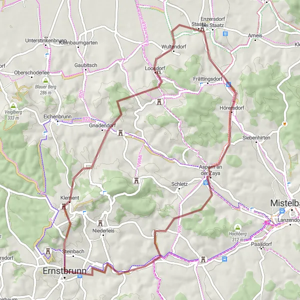
For gravel enthusiasts, this 54km route showcases the rugged natural beauty of Ernstbrunn and its surroundings. With an ascent of 633m, this ride offers a moderate challenge for gravel cyclists. Highlights of the route include Oberleiser Berg, Gnadendorf, Staatz, Staatzer Berg, Asparn an der Zaya, Foltisberg, and Ernstbrunn. The route takes you through rolling gravel tracks, scenic forests, and picturesque villages. Difficulty: 3 Epicness: 4
gravel
54 km
633 m
Tough
Route profile
Highlights on the route
0 km
0 km
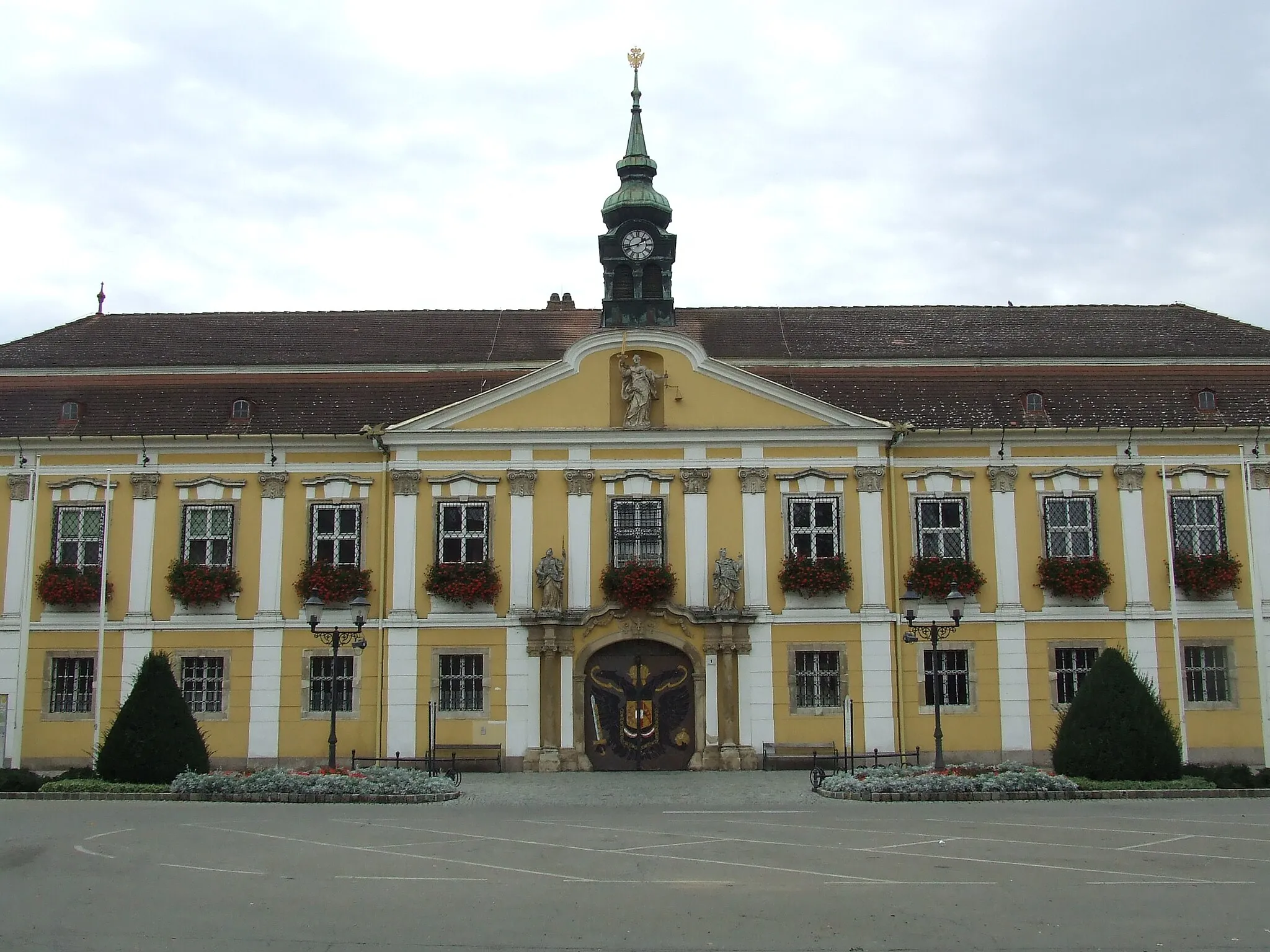
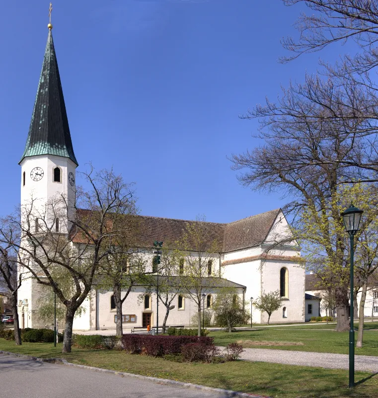
Start: Ernstbrunn City centerErnstbrunn: Nature's cycling playground with a touch of wine culture.
Located in the region of Niederösterreich in Austria, Ernstbrunn is a cyclist-friendly locality known for its natural beauty and diverse cycling routes. The area offers a mix of flat terrain and rolling hills, making it suitable for all types of cyclists. Ernstbrunn is home to the Thayatal National Park, a stunning natural reserve that provides scenic routes and wildlife encounters. The locality also boasts well-maintained cycling paths, cycling-friendly accommodations, and bicycle rental services. Additionally, Ernstbrunn is close to the iconic Weinviertel region, famous for its endless vineyards and wine production. Overall, Ernstbrunn is a fantastic destination for cyclists seeking a combination of natural landscapes and cultural experiences.3 km
3 km
Oberleiser Berg457 mPeakOberleiser Berg, a scenic hill overlooking the idyllic countryside, offering amazing views of the region.
11 km
11 km
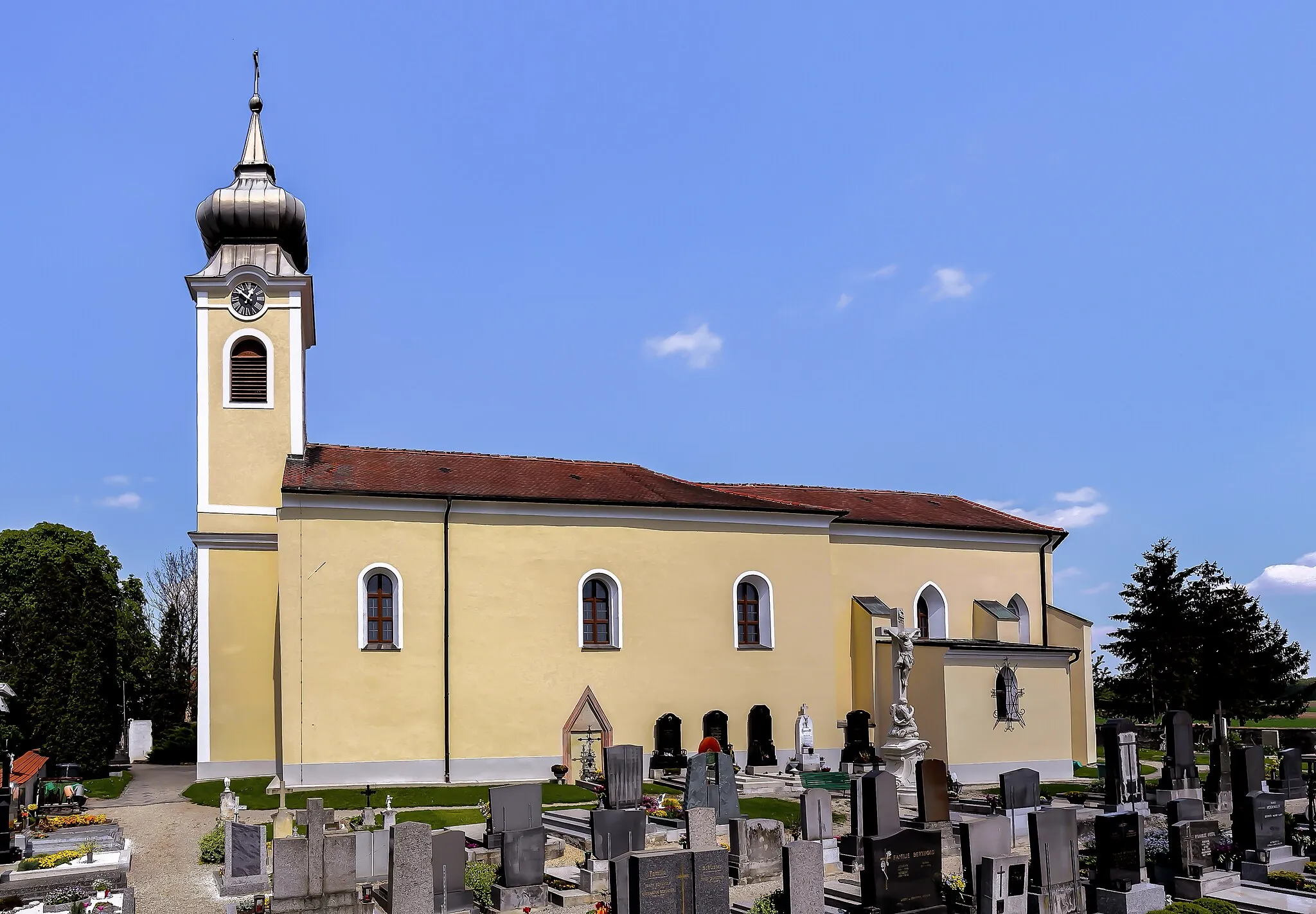
GnadendorfVillageGnadendorf, a quaint village characterized by traditional houses and a peaceful atmosphere.
24 km
24 km
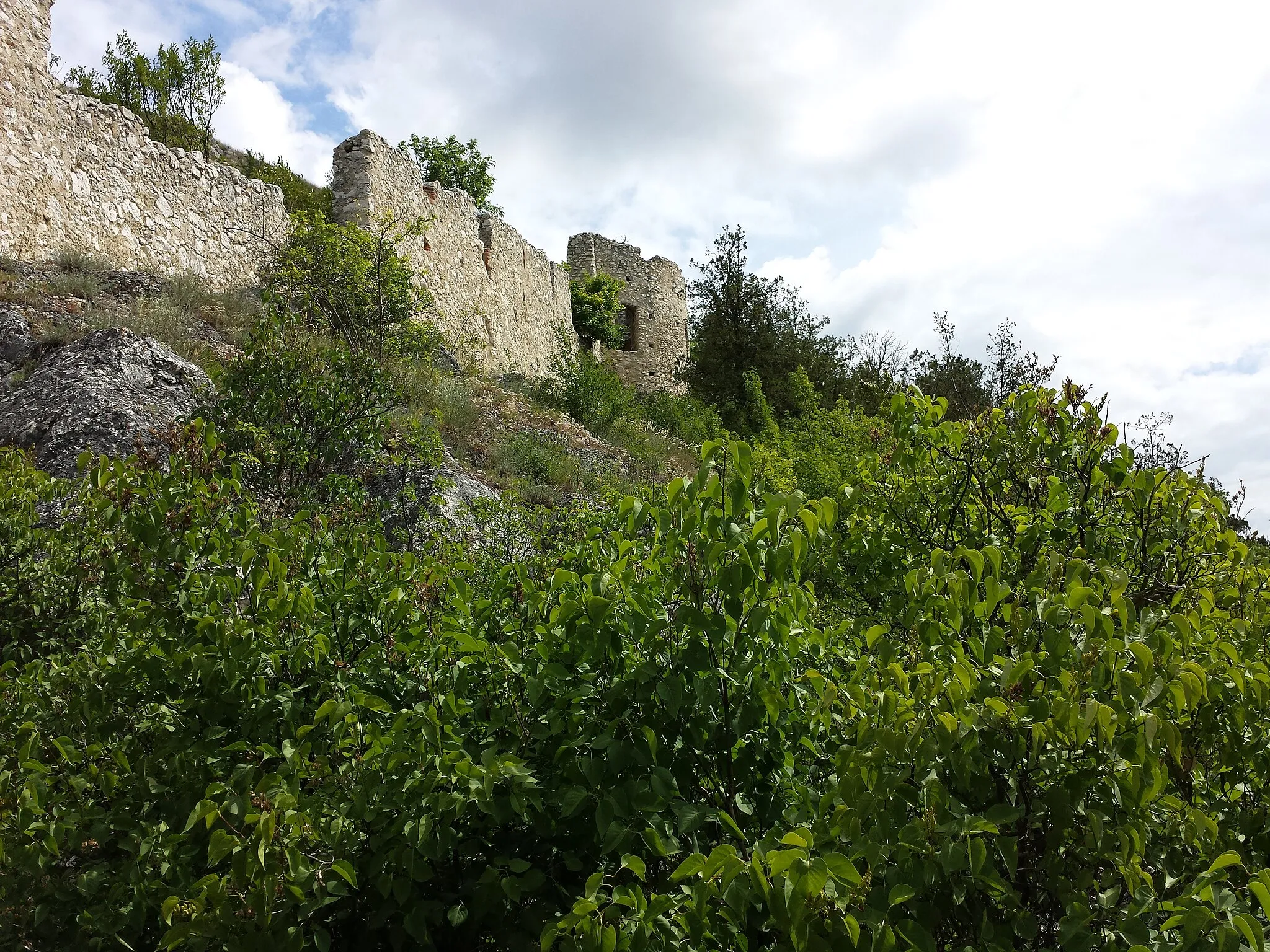
StaatzVillageStaatz, a delightful town known for its medieval castle ruins and historic charm.
24 km
24 km
Staatzer Berg332 mPeakStaatzer Berg, a rocky hill with exciting gravel paths and stunning views of the surrounding nature.
36 km
36 km
Asparn an der ZayaVillageAsparn an der Zaya, a charming village with well-preserved architectural gems and a tranquil ambiance.
50 km
50 km
Foltisberg268 mPeakFoltisberg, a hill surrounded by lush green meadows and offering scenic views of the region.
54 km
54 km
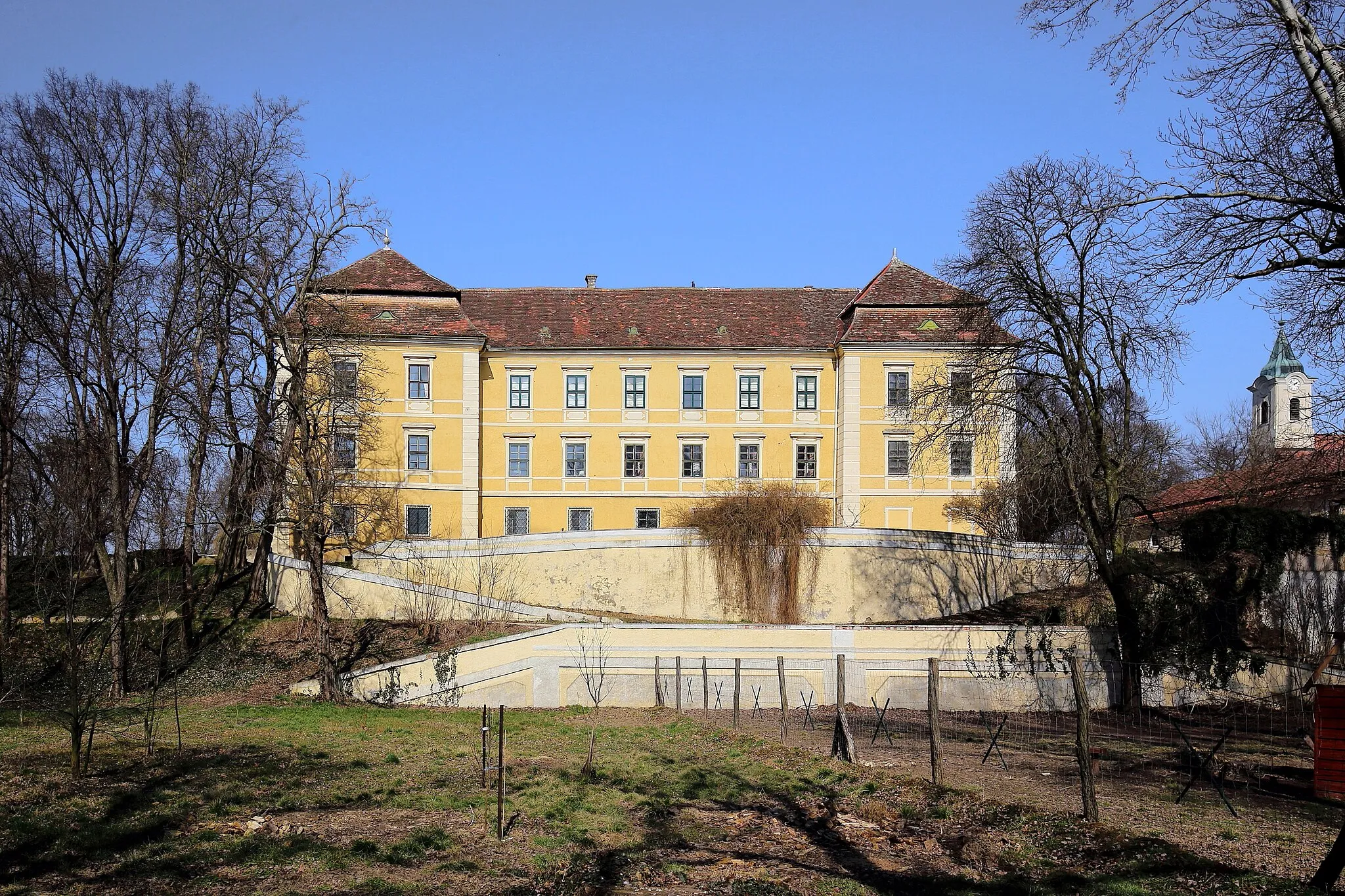
ErnstbrunnTownErnstbrunn, the starting point and a captivating village nestled in beautiful natural surroundings.
54 km
54 km
Finish: Ernstbrunn City centerErnstbrunn: Nature's cycling playground with a touch of wine culture.
Cycling routes from Ernstbrunn:
Cycling routes nearby: