Explore the beauty of the Wachau Valley on two wheels
Cycling routes from Gfoehl
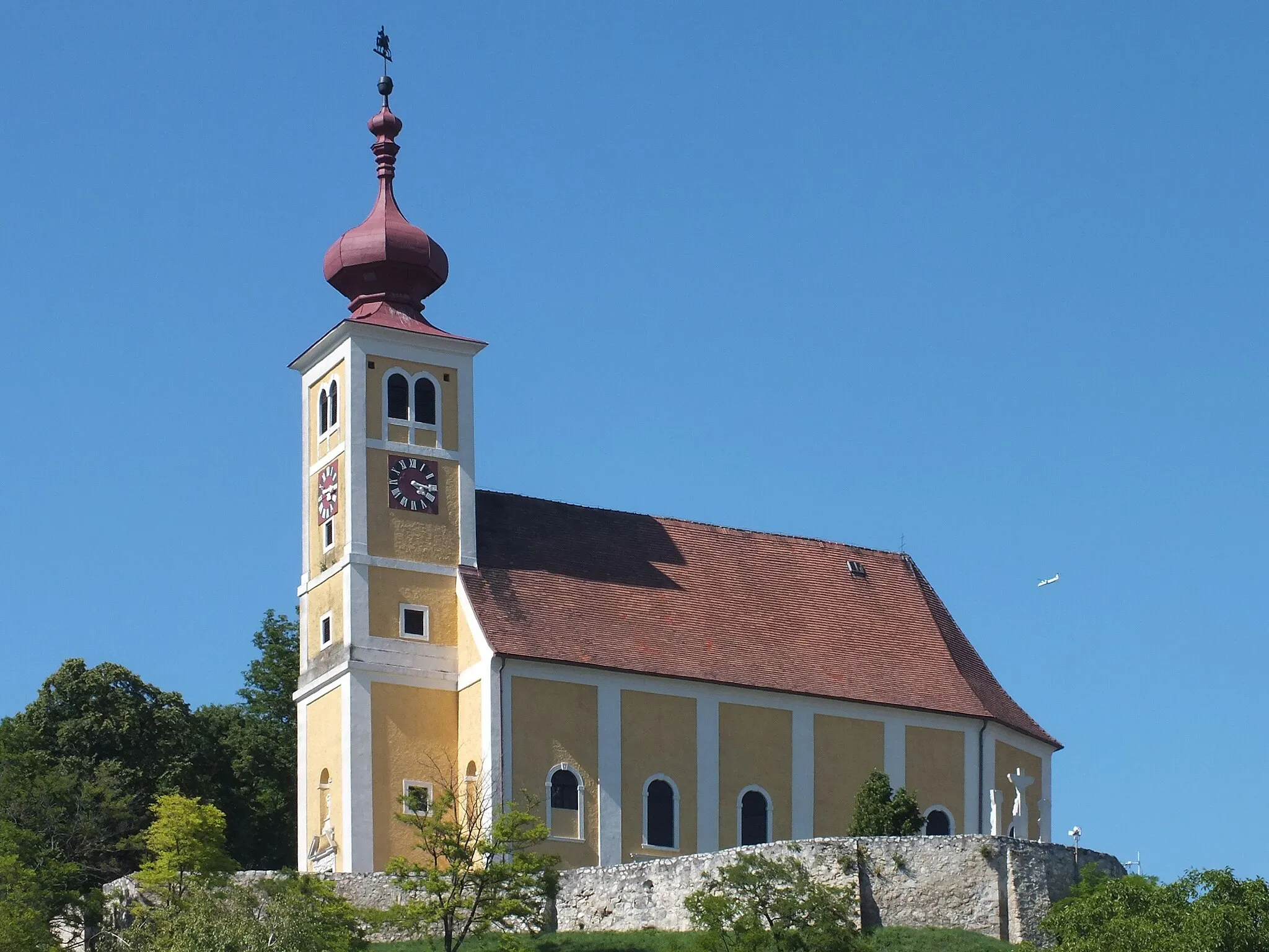
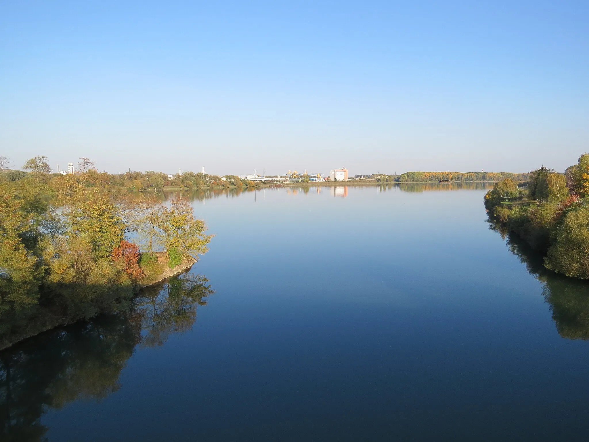
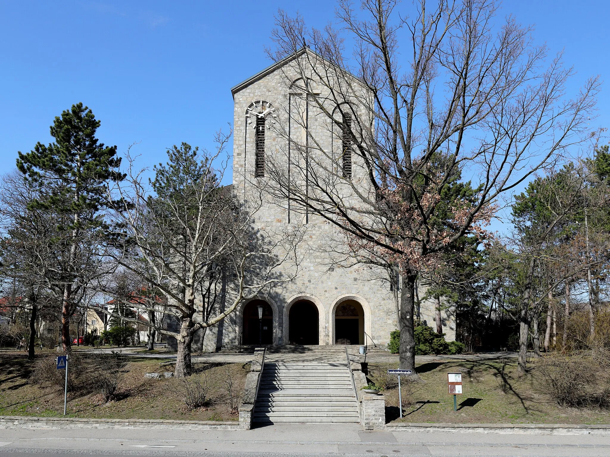
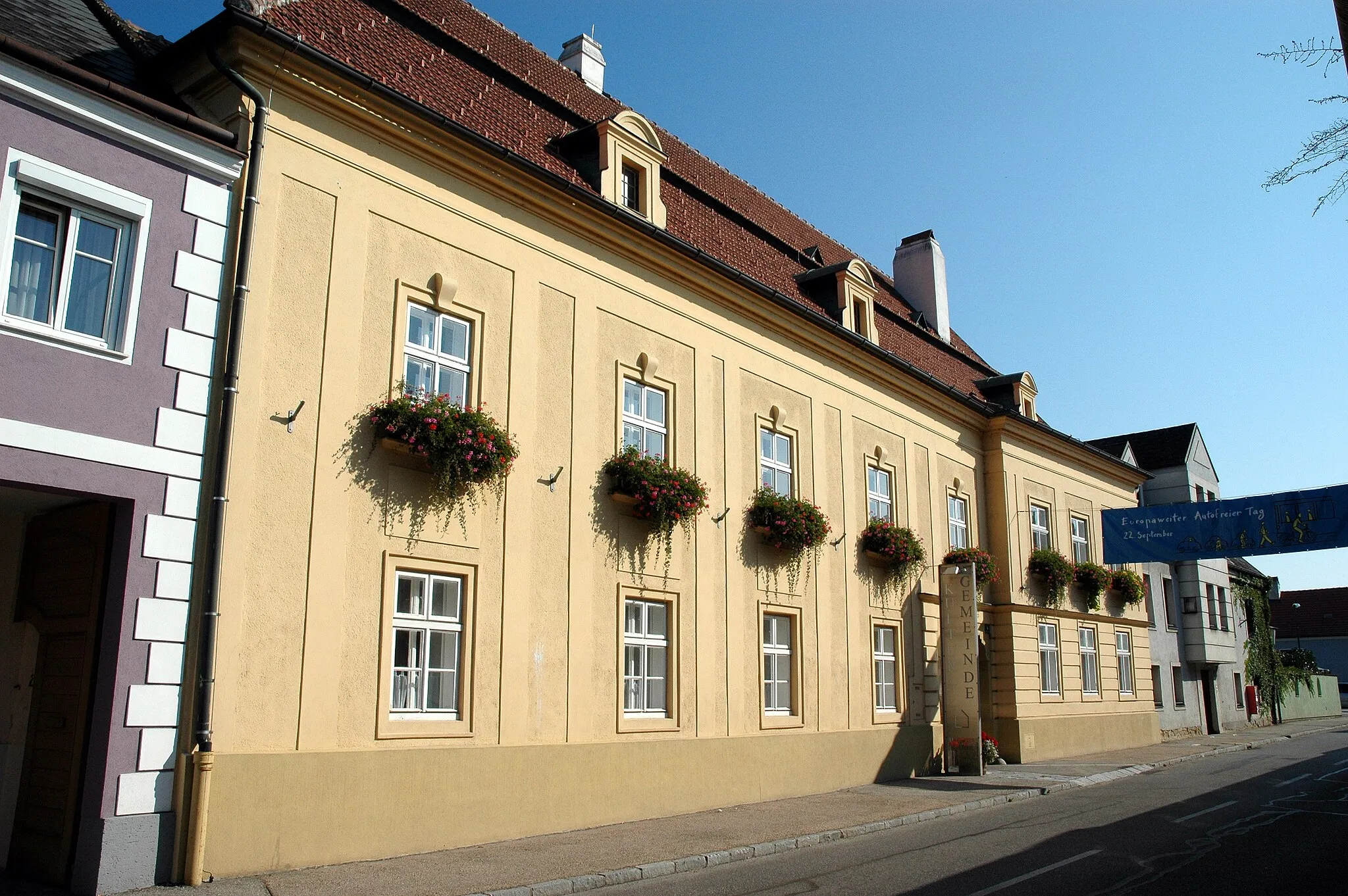
Gföhl is a peaceful locality situated in the Niederösterreich region of Austria. From a cyclist's perspective, Gföhl offers picturesque routes with scenic views of vineyards and hills. The area is perfect for road and gravel cycling, providing a mix of flat stretches and challenging climbs. Nearby, cyclists can explore the Wachau Valley, a UNESCO World Heritage site that is renowned for its stunning natural landscapes and winding cycling paths. Gföhl is an ideal destination for cyclists looking to enjoy both the beauty of the Austrian countryside and the rich cultural heritage of the region.
Embark on a cycling odyssey through the countryside near Gföhl, immersing yourself in the rugged charm of gravel trails.
Embark on a 91-kilometer gravel cycling adventure, meandering through the stunning countryside near Gföhl. This route is suitable for gravel enthusiasts seeking a longer ride with varied terrain and beautiful landscapes.
Gravel Gems of Gföhl
Explore the hidden gravel gems around Gföhl
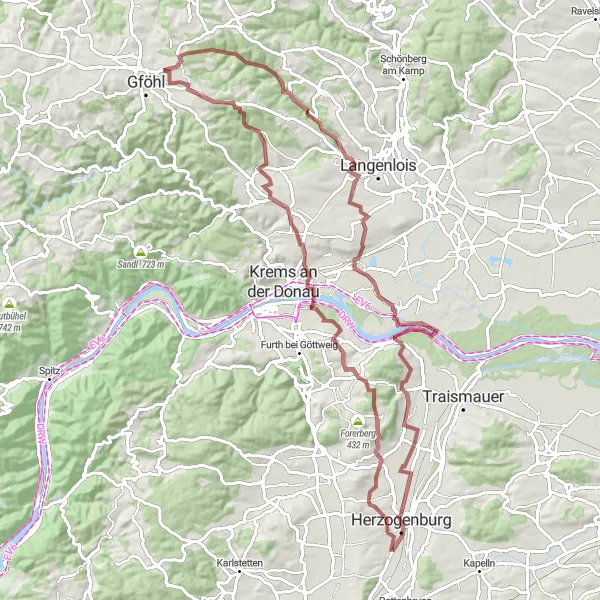
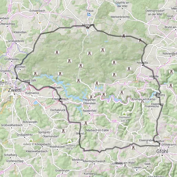
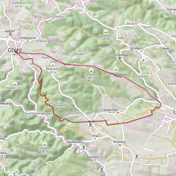
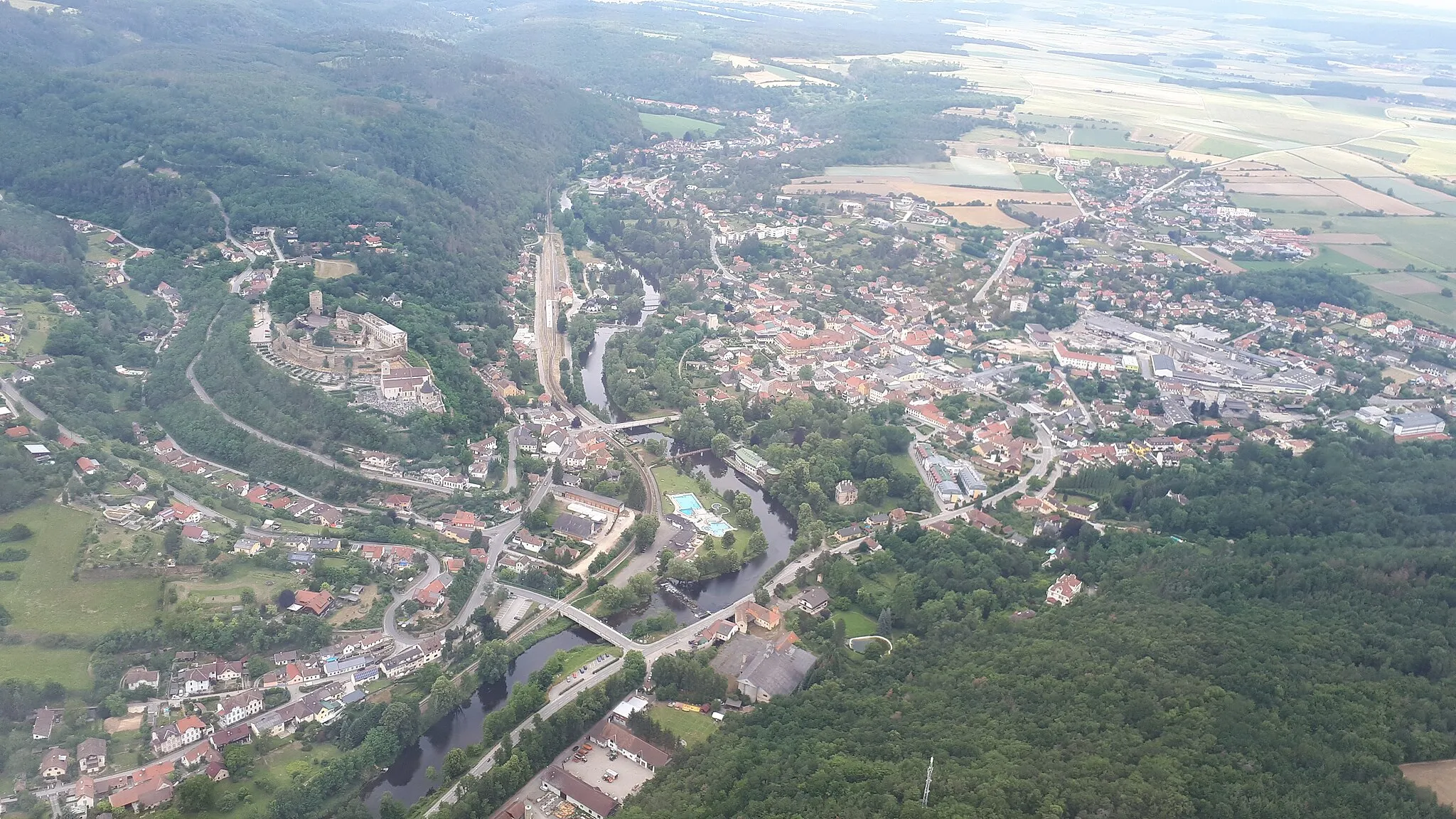
Uncover the joys of gravel cycling on this route near Gföhl. With a distance of 68 km and an ascent of 1222 meters, this route is suitable for cyclists who enjoy the challenge of off-road terrain. Discover the highlights of Schloss Jaidhof, Stackelberg, Klopfhartsberg, Stiefern, Jungenberg, Gobelsburg, Droß, Herzogentisch, and Gföhl as you navigate through gravel roads and forest paths, enjoying the scenic beauty and tranquility of the surrounding countryside.
Conquer legendary climbs and soak in the scenic beauty near Gföhl
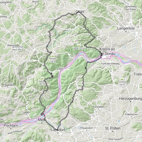
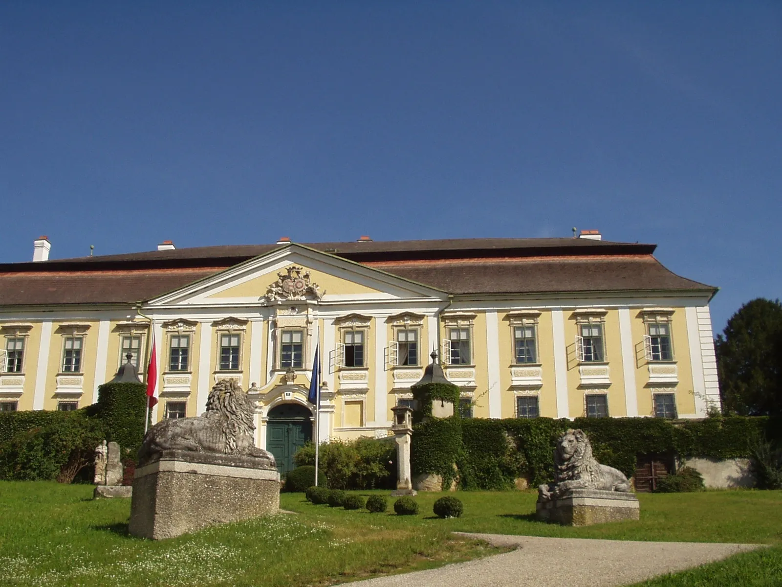
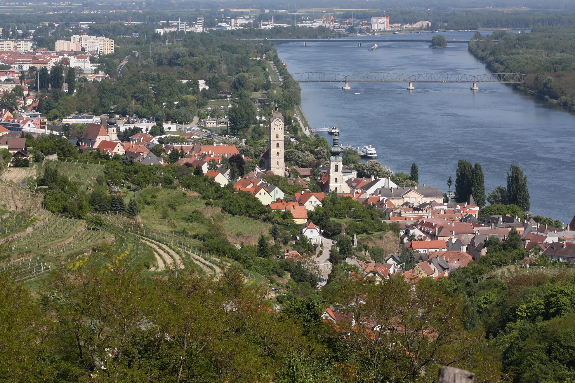
Experience the thrill of conquering legendary climbs and enjoy spectacular views on this road cycling route near Gföhl. With a total distance of 120 km and a challenging ascent of 2503 meters, this route is recommended for experienced and well-trained cyclists. Explore Senftenbergeramt, Hiesbergwarte, Donauwarte, Schloss Mautern, Schloss Grabenhof, Kalkberg, Emmersdorf an der Donau, Kalkofen, Elsarn am Jauerling, Wolfsberg, Hausleiten, Albrechtsberg an der Großen Krems, Schloss Brunn am Wald, and Stocketsberg as you conquer steep climbs and marvel at breathtaking views.
Escape into the tranquil countryside on this road cycling route from Gföhl to Gobelsburg.
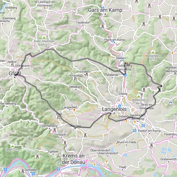
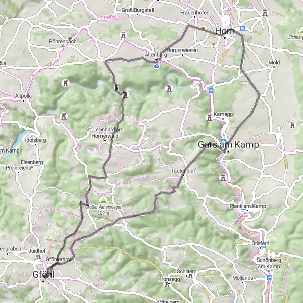
Embark on a 59-kilometer road cycling journey from Gföhl to Gobelsburg, featuring serene landscapes, historic highlights, and a moderate level of difficulty. This route is suitable for well-trained amateurs looking for a shorter ride with fewer challenging climbs.
Discover the picturesque landscapes and cultural highlights on this road cycling tour from Gföhl to Jaidhof.
Embark on an 85-kilometer road cycling adventure from Gföhl to Jaidhof, filled with stunning natural beauty, historical landmarks, and challenging climbs. This route is suitable for well-trained amateurs seeking a mix of cultural immersion and scenic cycling.
Embark on an epic road cycling journey across Niederösterreich province
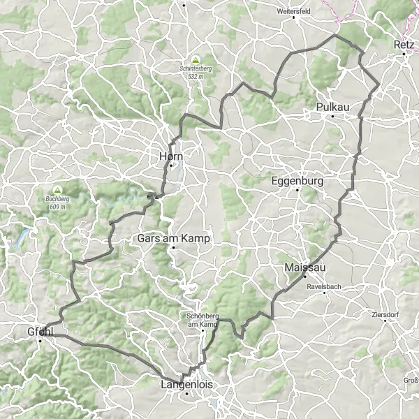
Discover the diverse landscapes and cultural treasures of Niederösterreich on this epic road cycling journey. With a total distance of 122 km and a challenging ascent of 1589 meters, this route is perfect for experienced cyclists seeking an unforgettable adventure. Explore Gföhl, Glasberg, Etzmannsdorf am Kamp, Theras, Oberkürberg, Schrattenthal, Hollerberg, Maissau, Heidberg, Zöbing, and Holzberg as you cross picturesque villages and soak in the rich history and natural beauty of the region.
Embark on an off-road cycling adventure, tackling gravel trails near Gföhl and embracing the beauty of nature.
Get ready for an exhilarating 32-kilometer off-road cycling journey, exploring the gravel trails around Gföhl. This route is perfect for gravel enthusiasts looking for a moderate challenge and an escape into nature.
Off-Road Adventure
Embark on a thrilling gravel cycling adventure near Gföhl
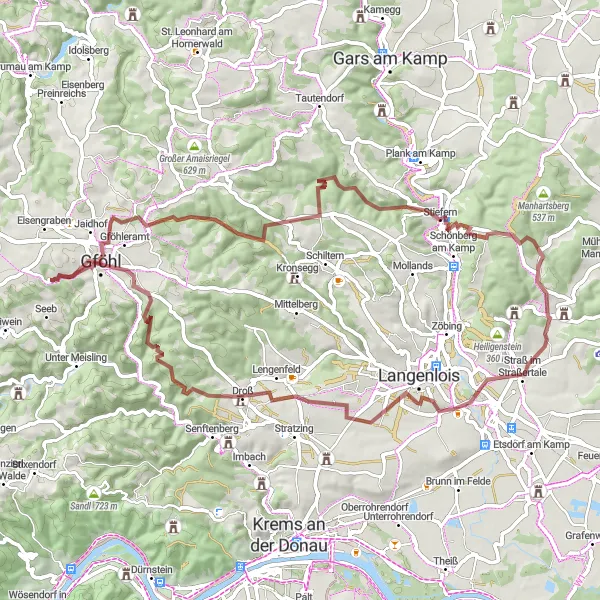
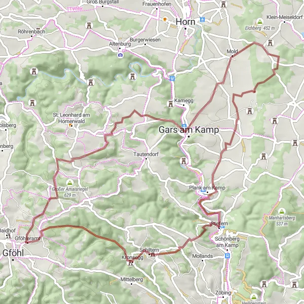
Get off the beaten path and explore the rugged terrain near Gföhl on this gravel cycling route. With a distance of 68 km and an ascent of 1123 meters, this route provides a challenging ride for experienced cyclists. Discover the highlights of Obertautendorferamt, Glasberg, Wolfshof, Steinriegel, Maiersch, Stiefern, Hausberg, and Stackelberg as you navigate through gravel roads and forest trails.
Discover the stunning Austrian landscape on this road cycling route near Gföhl
This road cycling route near Gföhl provides breathtaking views of the Austrian countryside, with scenic highlights along the way. With a total distance of 60 km and an ascent of 923 meters, this route is suitable for well-trained amateur cyclists. Experience the beauty of Obertautendorferamt, Hagmannriegel, Fuglau, Kuhberg, Schanzberg, Tautendorf, Ullreichsberg, and Gföhleramt as you pedal your way through the picturesque surroundings.
Cycle through picturesque landscapes and charming villages on this road cycling route from Gföhl to Jaidhof.
Embark on a 116-kilometer road cycling journey from Gföhl to Jaidhof, filled with stunning countryside scenery, cultural highlights, and challenging climbs. This route is suitable for well-trained amateurs who enjoy long rides and are looking for a mix of natural and cultural attractions.
Cycling routes nearby:


Nearby regions: