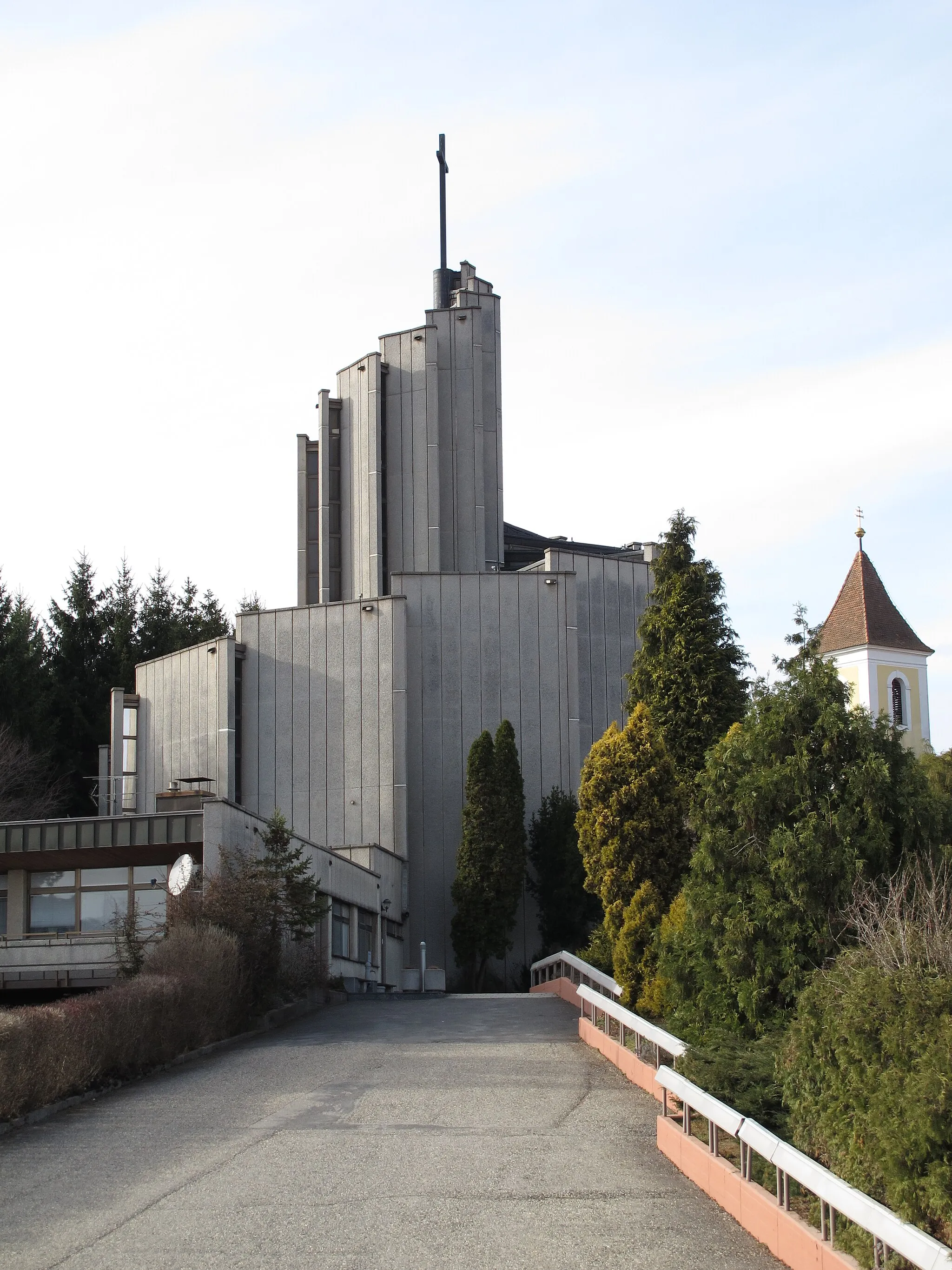
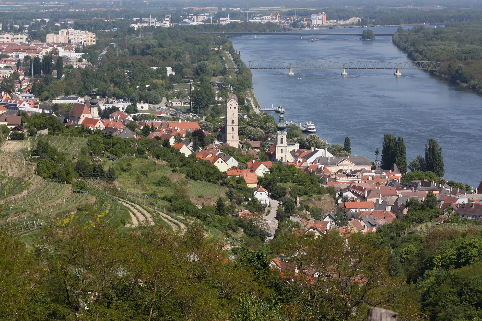
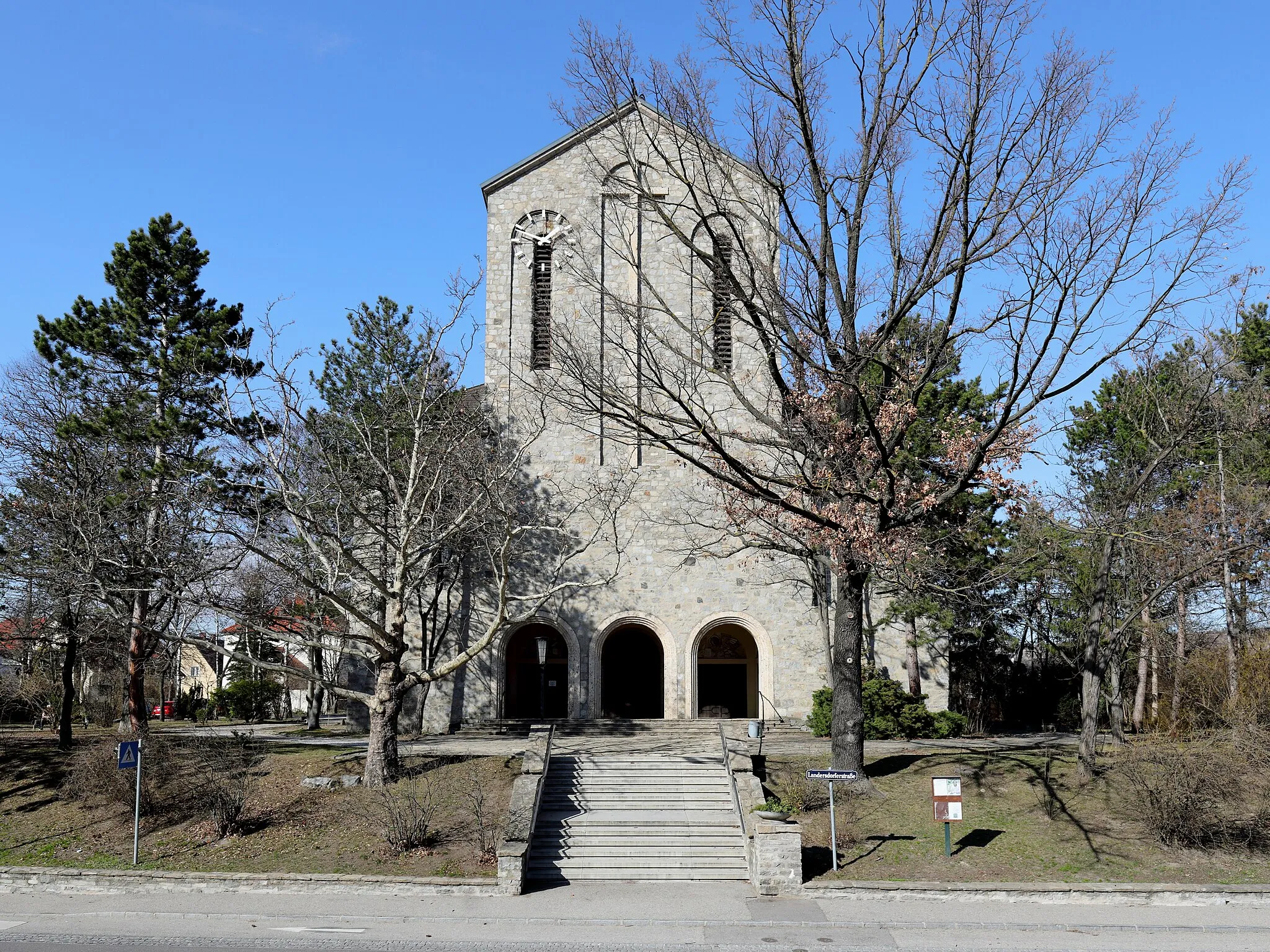
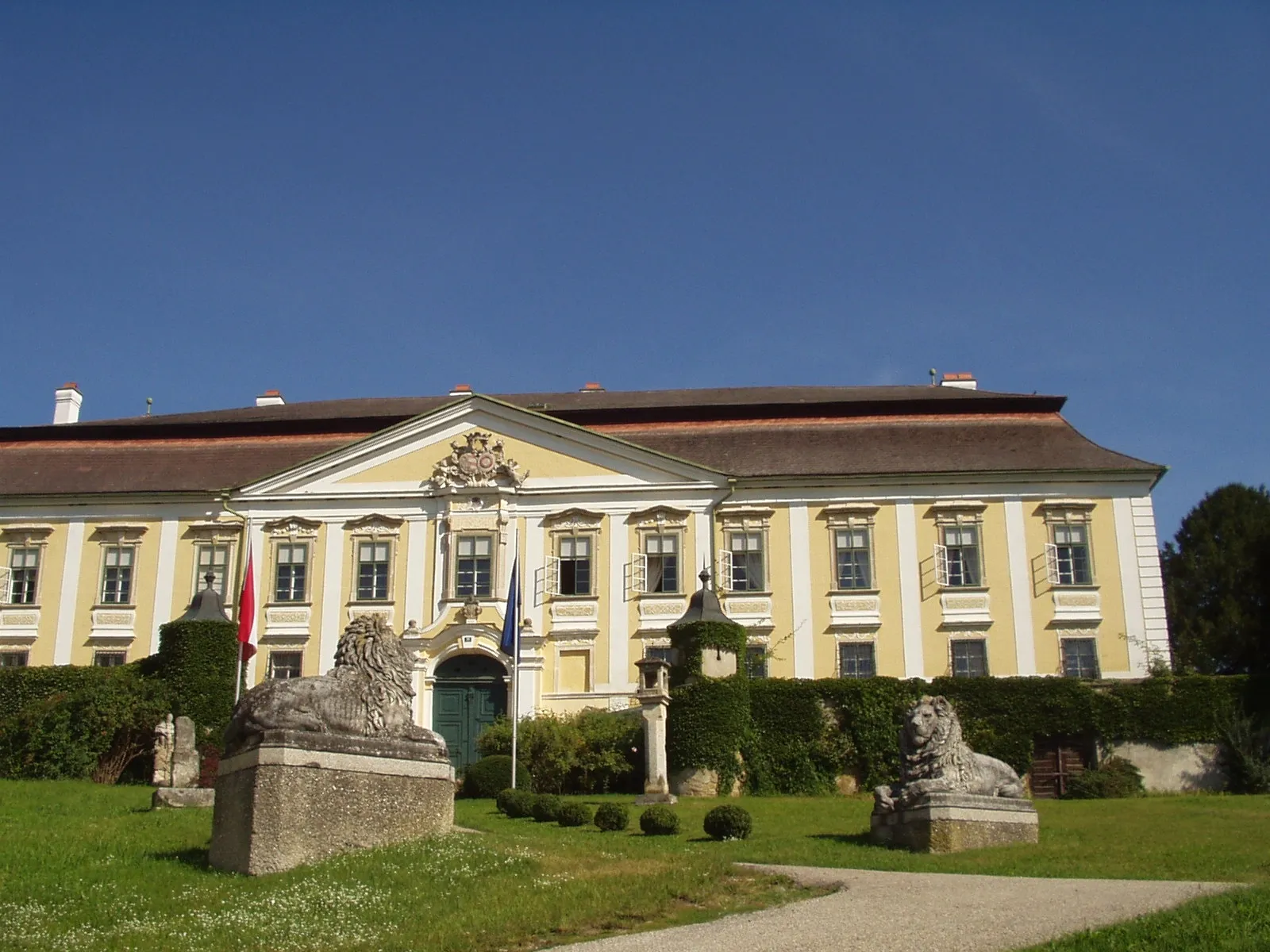
Cycling amidst the scenic beauty of Furth bei Göttweig's hilly landscapes and iconic Abbey.
Cycling routes from Furth bei Goettweig
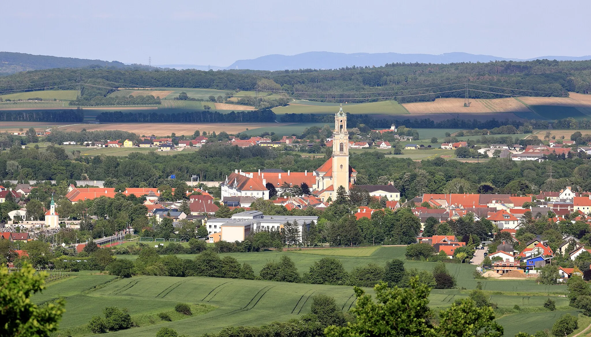
Furth bei Göttweig, located in Niederösterreich, Austria, is a wonderful destination for road and gravel biking. The locality is known for the majestic Göttweig Abbey, which provides a striking backdrop for cyclists. Furth bei Göttweig offers well-paved roads and challenging routes through the hilly landscapes. With its proximity to the Abbey and varied terrain, Furth bei Göttweig is a cyclist's paradise.
Embark on an adventurous gravel journey through the diverse landscapes near Furth bei Göttweig
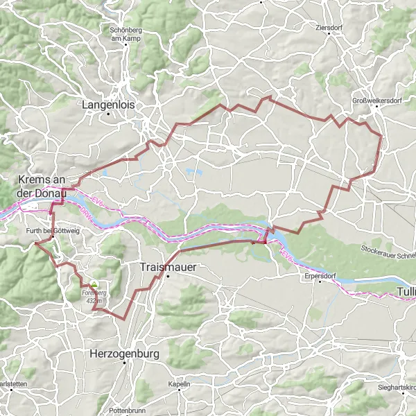
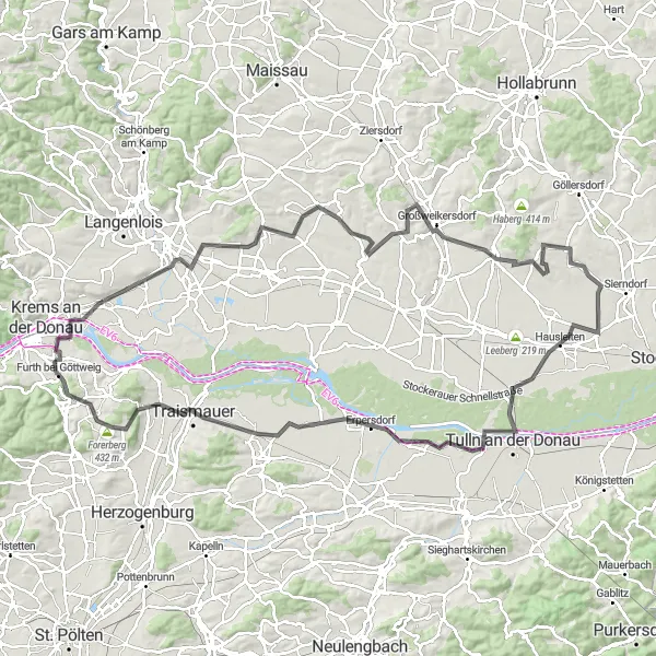
This challenging gravel route covers a total distance of 91 kilometers with an ascent of 666 meters. Explore the diverse landscapes, from picturesque vineyards to rolling hills and charming villages. One of the highlights of this route is Rohrendorf bei Krems, known for its traditional wine taverns and stunning views of the Danube River. Make sure to climb to the top of Forerberg for a panoramic view of the surrounding countryside. Altenwörth, with its tranquil atmosphere and scenic riverfront, is also worth a visit.
The Flavorful Gravel Ride

Experience the flavors of the region on this scenic gravel ride near Furth bei Göttweig
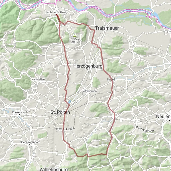
Covering a distance of 46 kilometers with an ascent of 373 meters, this gravel route offers a taste of the region's culinary and cultural treasures. Pass through the picturesque vineyards and charming villages along the way, stopping at Nußdorf ob der Traisen to sample local wines. Don't miss Wasserschloss Pottenbrunn, a beautiful castle surrounded by scenic gardens. The village of Statzendorf is also worth a visit, with its quaint streets and historic buildings.
Explore the scenic vineyard landscapes of Niederösterreich on this challenging gravel route near Furth bei Göttweig
This gravel route takes you through the picturesque vineyards of Niederösterreich, offering stunning views of the countryside along the way. With a total distance of 77 kilometers and an ascent of 744 meters, this ride is suitable for experienced gravel riders. The route passes through charming towns and villages, providing opportunities to stop and taste some of the local wines.
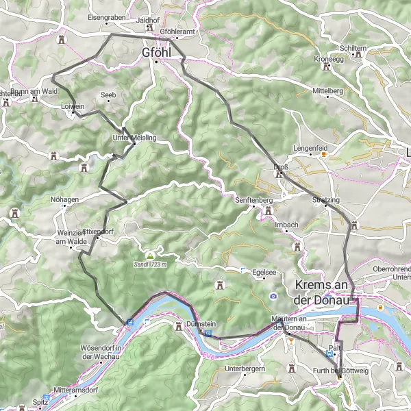
Cycling through picturesque villages and vineyards
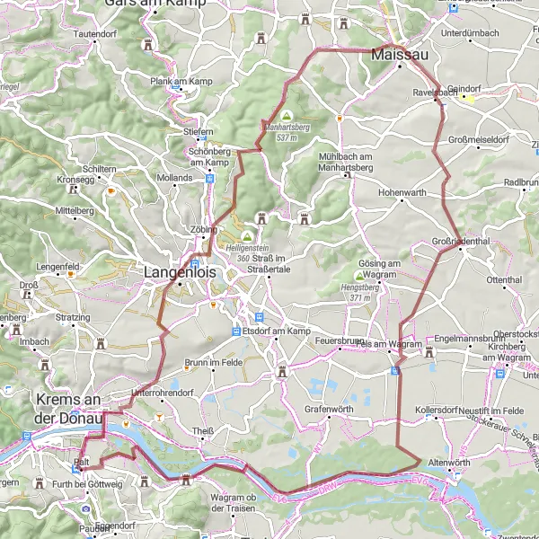
This round-trip cycling route takes you through the stunning countryside of Niederösterreich, starting near Furth bei Göttweig. The route covers a distance of 119 kilometers with an ascent of 832 meters. The highlights along the way include visits to Rohrendorf bei Krems with its charming architecture and vineyards, Gobelsberg known for its beautiful wineries, and Großriedenthal offering panoramic views of the surrounding landscapes. Heading towards Großweikersdorf and Kobelberg, you'll have the opportunity to explore historical landmarks and take in the scenic beauty of the region. The highlights also include Tulln an der Donau, which is famous for its gardens and parks, and the Baumwipfelweg (treetop walkway) in Oberhautzental. The route continues through Zwentendorf an der Donau, Nußdorf ob der Traisen, and Grünberg, showcasing the rich cultural heritage of the area. Overall, this route provides a perfect balance of nature, history, and wine culture, making it an ideal choice for avid cyclists.
Embark on a gravel adventure around Furth bei Göttweig
Exploring the Gravel Paths is a thrilling cycling route that takes you through the gravel paths near Furth bei Göttweig in Niederösterreich, Austria. This scenic route offers a mix of challenging gravel sections and stunning views of the countryside. With an ascent of 763 meters and a distance of 82 kilometers, this route is perfect for gravel enthusiasts looking for a unique and adventurous experience.
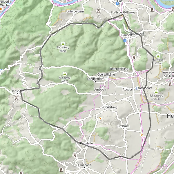
Embark on a scenic journey through the picturesque countryside from Furth bei Göttweig to Unterbergern
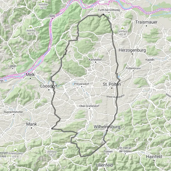
This road cycling route offers a challenging yet rewarding journey through the spectacular countryside near Furth bei Göttweig. Covering a distance of 110 kilometers with an ascent of 1280 meters, this round-trip takes you through a variety of landscapes and past charming villages. Highlights along the route include the charming town of Waxenberg and the majestic Fugging Castle. With its stunning nature and rich historical heritage, this tour is perfect for avid cyclists looking for a memorable adventure.

Embark on a scenic gravel adventure through the idyllic countryside near Furth bei Göttweig
This 74-kilometer gravel route offers a wonderful mix of picturesque landscapes and charming villages. With a total ascent of 389 meters, it is suitable for cyclists of intermediate level. Along the way, you'll pass through vineyards, orchards, and rolling hills, providing breathtaking views at every turn. Make sure to take a break in the enchanting village of Gedersdorf and visit its historic center. Another highlight is the Kirchberg am Wagram, known for its beautifully preserved castle and stunning views of the Danube River.
Cycling through scenic landscapes and historical landmarks
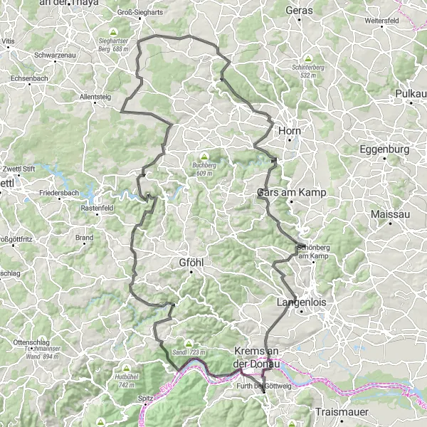
This round-trip cycling route starts near Furth bei Göttweig and takes you on a journey through breathtaking landscapes and historical landmarks. Covering a distance of 158 kilometers with an ascent of 2438 meters, this route is a challenge for experienced cyclists. The highlights along the way include Mautern an der Donau, a picturesque town known for its medieval charm and impressive Römerhalle museum. Continuing towards Veiglberg and Ruine Hohenstein, cyclists can explore ancient ruins and take in panoramic views of the Danube River. Hollereck and Schöberlberg offer scenic beauty and challenging terrains for adventurous riders. Göpfritz an der Wild and Hafnerberg provide glimpses into the region's history and culture, while Stift Altenburg and Tautendorf showcase stunning architecture and religious landmarks. The route further takes you through Klopfhartsberg and Schilterner Berg, offering unique viewpoints and natural beauty. Concluding the journey at Palt, cyclists can enjoy the charming quaintness of this village. Overall, this route combines history, nature, and adventure, making it a perfect choice for experienced cyclists seeking a challenging and rewarding ride.
Göttweig and Back
Explore the beautiful scenery around Furth bei Göttweig
Göttweig and Back is a stunning cycling route that takes you through the picturesque landscapes near Furth bei Göttweig in Niederösterreich, Austria. This route offers breathtaking views of the region's vineyards, charming towns, and historical landmarks. It is perfect for cyclists who enjoy both road and gravel riding. With an ascent of 703 meters and a distance of 49 kilometers, this route provides a challenging yet rewarding experience.
Embark on a road cycling journey through the stunning wine regions near Furth bei Göttweig
This road cycling route spans 66 kilometers and offers a challenging ascent of 1050 meters, making it suitable for experienced road cyclists. As you cycle through the vineyard-covered hills, you'll be treated to breathtaking views of the Danube River and picturesque wine villages. Don't miss the opportunity to visit Dürnstein, a charming medieval town famous for its castle ruins and vineyards. Another highlight is Jaidhof, where you can explore its historic center and sample the region's renowned wines.
Cycling routes nearby:


Nearby regions: