![Cover image](https://images.tarmacs.app/cycling-routes/photos/austria/niederosterreich/2401302600/mautern-an-der-donau-1.webp)
Furth bei Göttweig - Mautern an der Donau - Furth bei Göttweig
A road cycling route starting from Furth bei Goettweig
Cycling through scenic landscapes and historical landmarks
![Map miniature of "Furth bei Göttweig - Mautern an der Donau - Furth bei Göttweig" cycling inspiration in Niederösterreich, Austria. Generated by Tarmacs.app cycling route planner](https://images.tarmacs.app/cycling-routes/routemaps/600/austria/niederosterreich/furth-bei-goettweig/road/143543.webp)
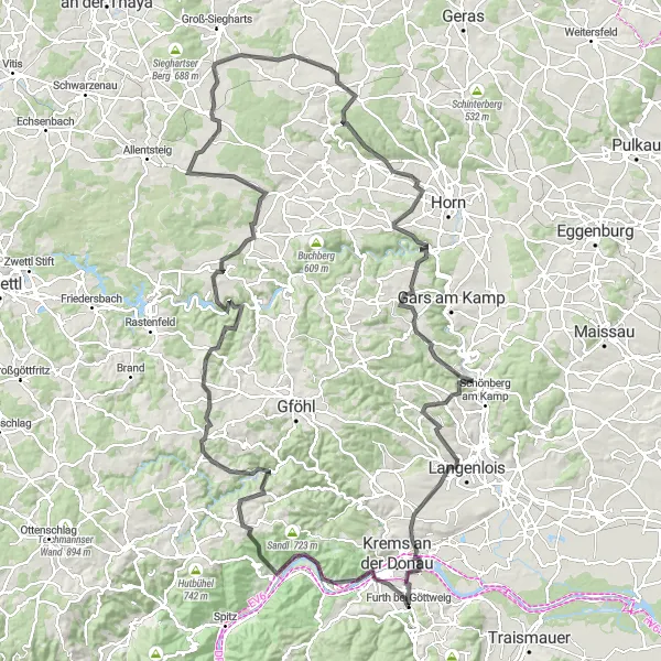
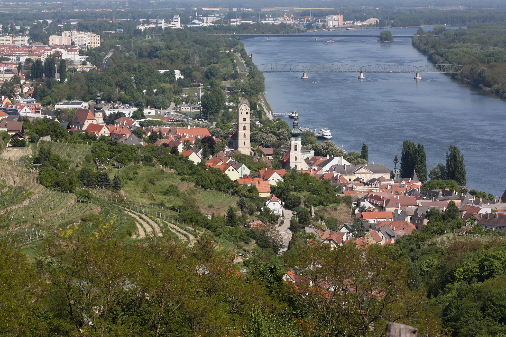
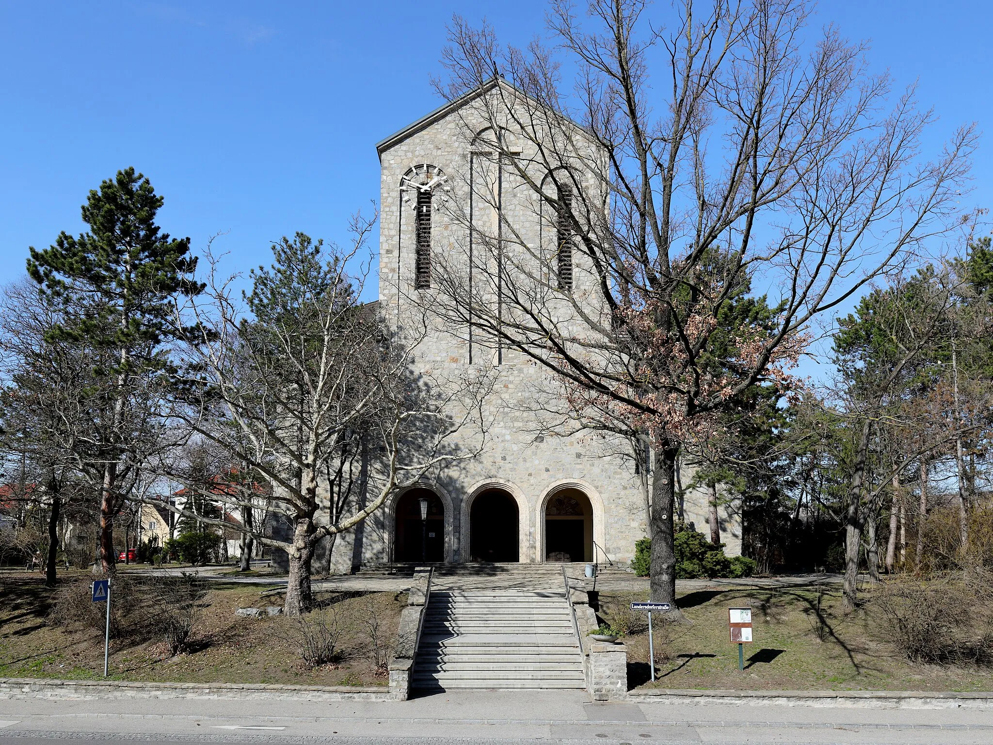
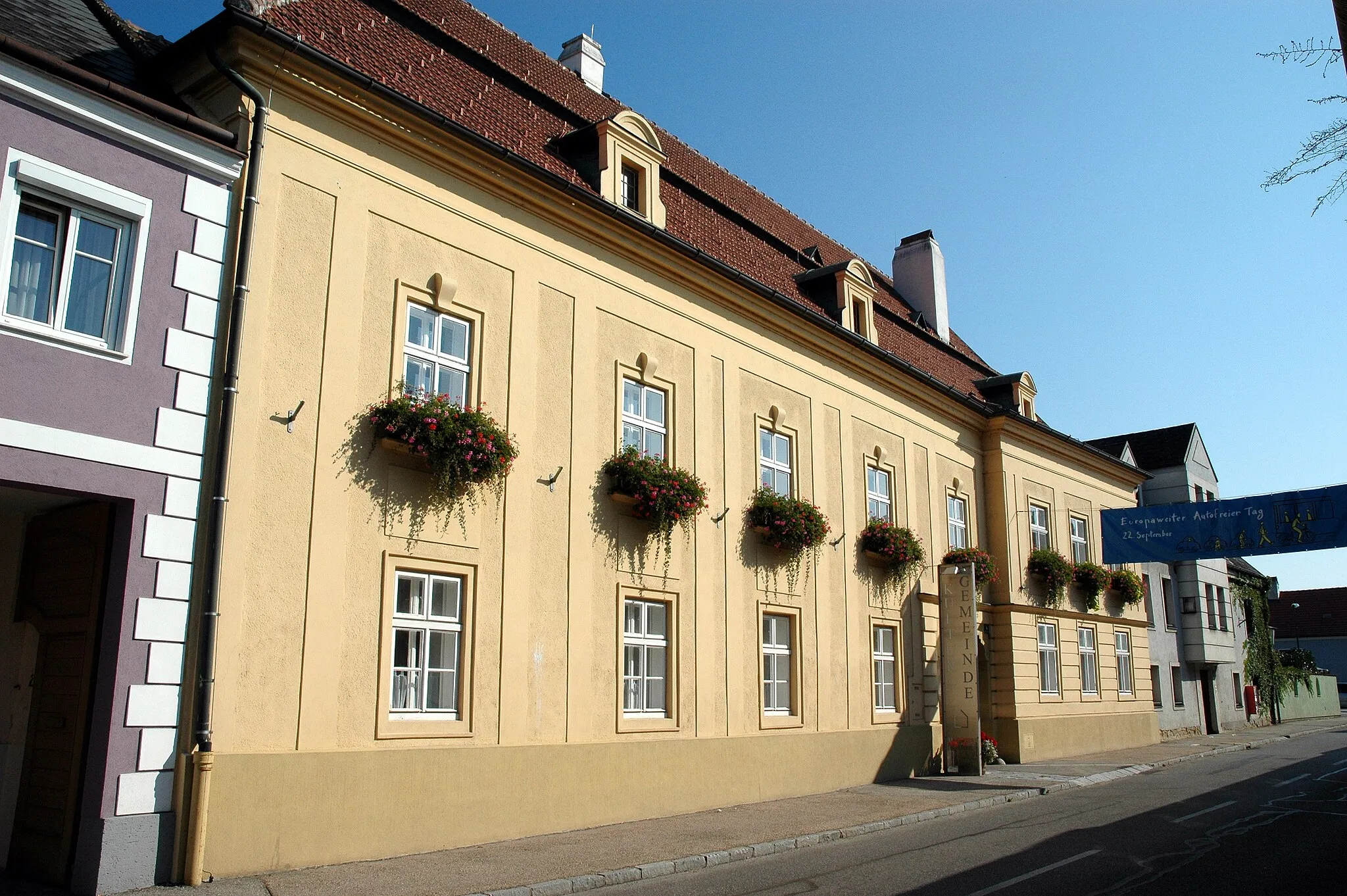
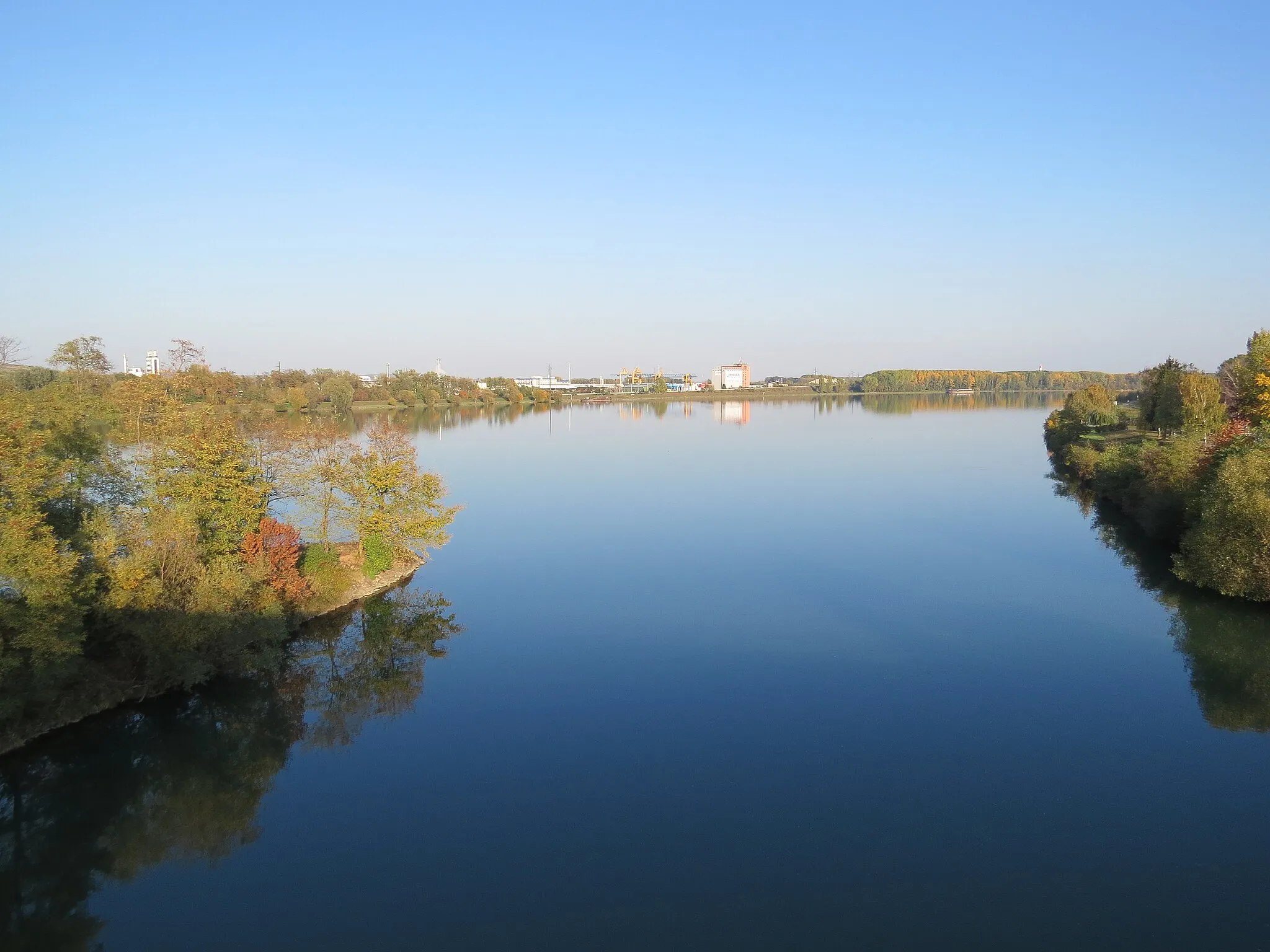
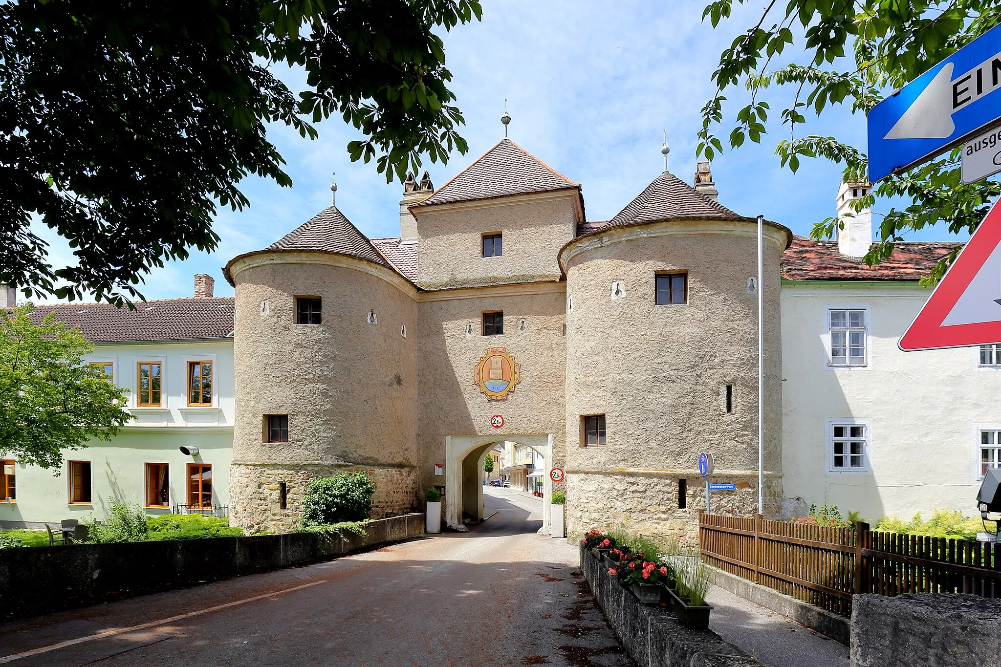
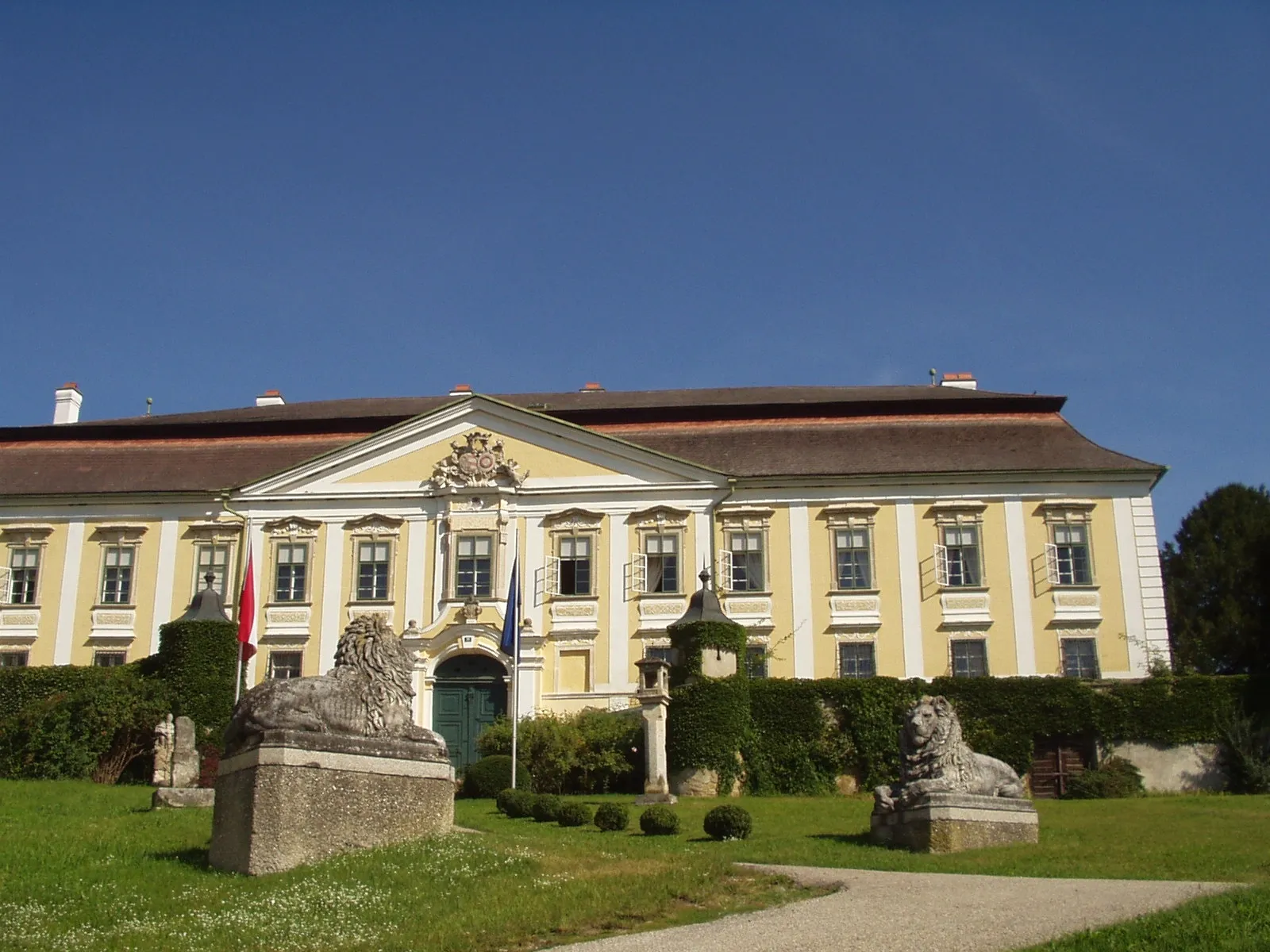
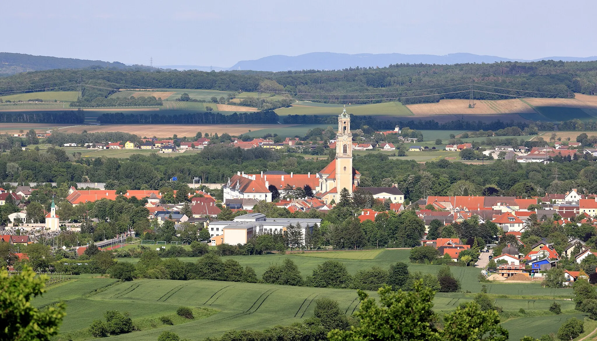
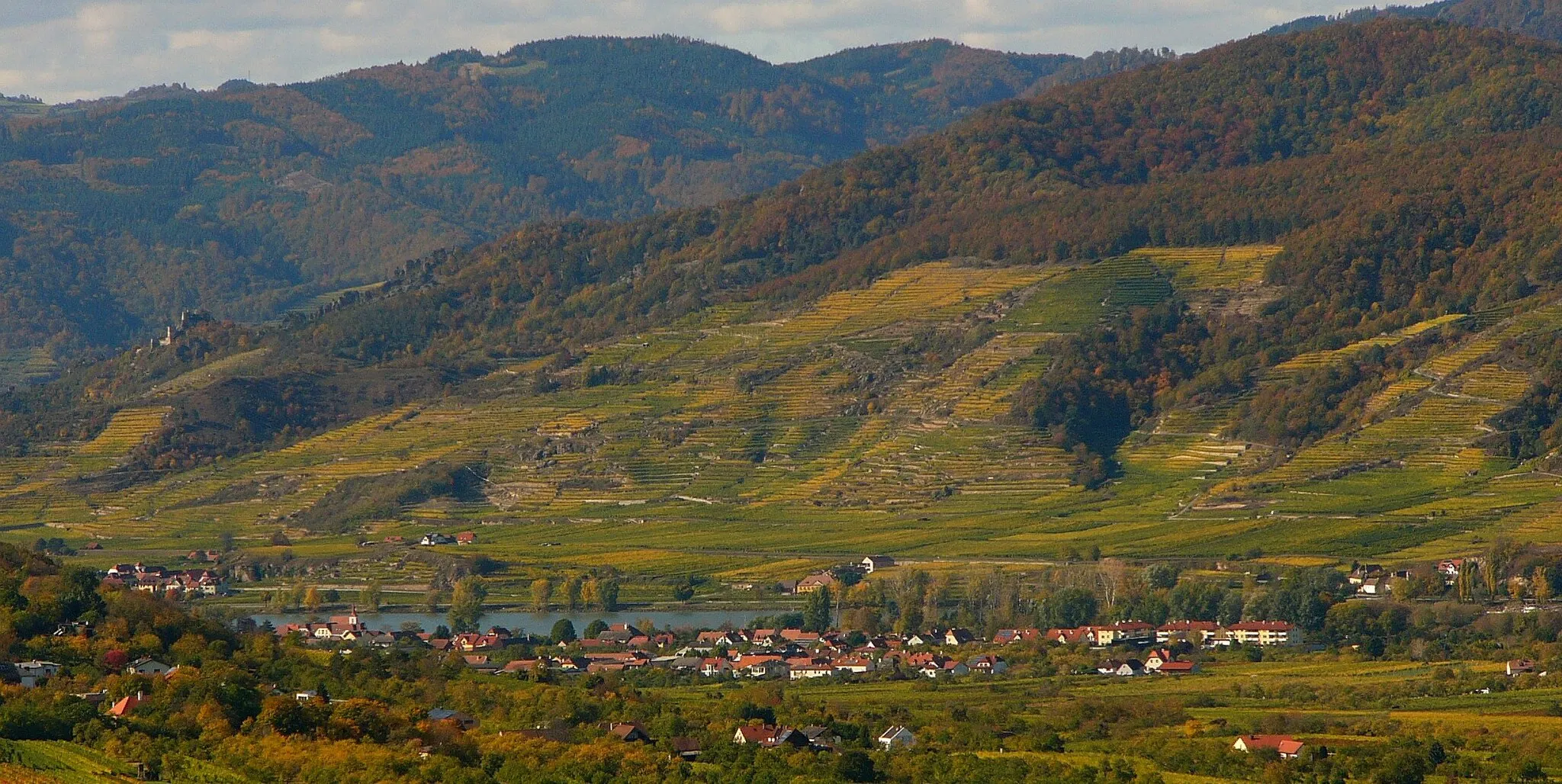
This round-trip cycling route starts near Furth bei Göttweig and takes you on a journey through breathtaking landscapes and historical landmarks. Covering a distance of 158 kilometers with an ascent of 2438 meters, this route is a challenge for experienced cyclists. The highlights along the way include Mautern an der Donau, a picturesque town known for its medieval charm and impressive Römerhalle museum. Continuing towards Veiglberg and Ruine Hohenstein, cyclists can explore ancient ruins and take in panoramic views of the Danube River. Hollereck and Schöberlberg offer scenic beauty and challenging terrains for adventurous riders. Göpfritz an der Wild and Hafnerberg provide glimpses into the region's history and culture, while Stift Altenburg and Tautendorf showcase stunning architecture and religious landmarks. The route further takes you through Klopfhartsberg and Schilterner Berg, offering unique viewpoints and natural beauty. Concluding the journey at Palt, cyclists can enjoy the charming quaintness of this village. Overall, this route combines history, nature, and adventure, making it a perfect choice for experienced cyclists seeking a challenging and rewarding ride.
Highlights on the route
Cycling routes from Furth bei Goettweig:
Cycling routes nearby:
![Image of Mautern](https://images.tarmacs.app/cycling-routes/covers/austria/niederosterreich/mautern-5.webp)
![Image of Krems an der Donau](https://images.tarmacs.app/cycling-routes/covers/austria/niederosterreich/krems-an-der-donau-3.webp)
![Image of Stein an der Donau](https://images.tarmacs.app/cycling-routes/covers/austria/niederosterreich/stein-an-der-donau-4.webp)
![Image of Lerchenfeld](https://images.tarmacs.app/cycling-routes/covers/austria/niederosterreich/lerchenfeld-5.webp)
![Image of Rohrendorf bei Krems](https://images.tarmacs.app/cycling-routes/covers/austria/niederosterreich/rohrendorf-bei-krems-4.webp)
![Image of Rehberg](https://images.tarmacs.app/cycling-routes/covers/austria/niederosterreich/rehberg-2.webp)
![Image of Traismauer](https://images.tarmacs.app/cycling-routes/covers/austria/niederosterreich/traismauer-5.webp)
![Image of Langenlois](https://images.tarmacs.app/cycling-routes/covers/austria/niederosterreich/langenlois-5.webp)
![Image of Herzogenburg](https://images.tarmacs.app/cycling-routes/covers/austria/niederosterreich/herzogenburg-2.webp)