The Road to Wine Country
A road cycling route starting from Furth bei Goettweig
Embark on a road cycling journey through the stunning wine regions near Furth bei Göttweig
Map
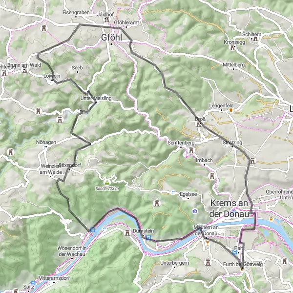
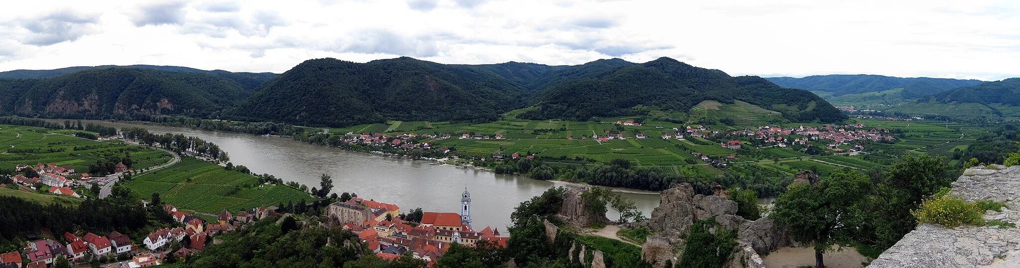
This road cycling route spans 66 kilometers and offers a challenging ascent of 1050 meters, making it suitable for experienced road cyclists. As you cycle through the vineyard-covered hills, you'll be treated to breathtaking views of the Danube River and picturesque wine villages. Don't miss the opportunity to visit Dürnstein, a charming medieval town famous for its castle ruins and vineyards. Another highlight is Jaidhof, where you can explore its historic center and sample the region's renowned wines.
road
66 km
1050 m
Tough
Route profile
Highlights on the route
0 km
0 km
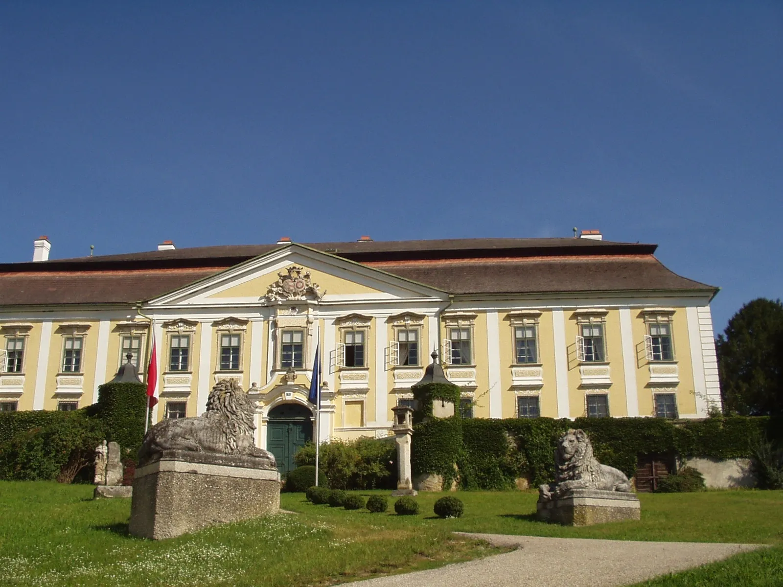
Start: Furth bei Göttweig Village centerFurth bei Göttweig: Cycling amidst the scenic beauty of Furth bei Göttweig's hilly landscapes and iconic Abbey.
Furth bei Göttweig, located in Niederösterreich, Austria, is a wonderful destination for road and gravel biking. The locality is known for the majestic Göttweig Abbey, which provides a striking backdrop for cyclists. Furth bei Göttweig offers well-paved roads and challenging routes through the hilly landscapes. With its proximity to the Abbey and varied terrain, Furth bei Göttweig is a cyclist's paradise.9 km
9 km
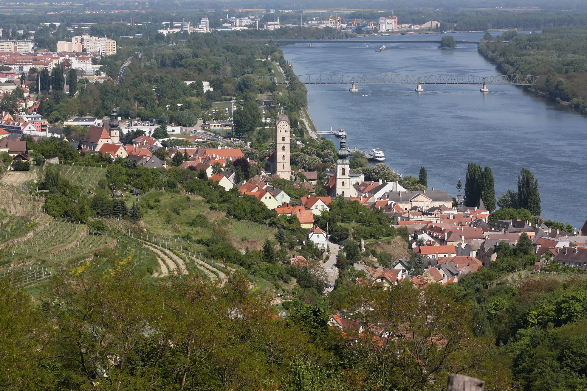
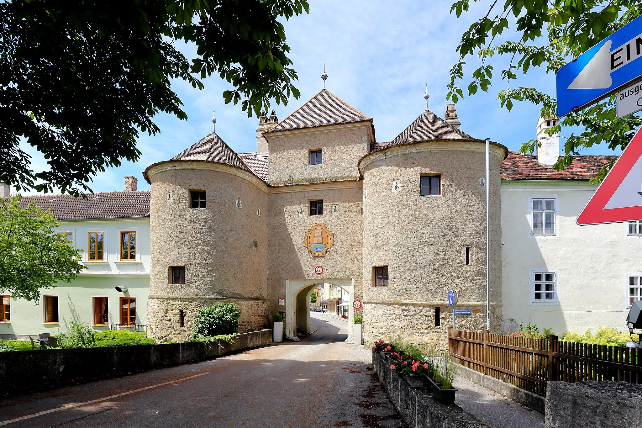
DürnsteinVillageDiscover the enchanting town of Dürnstein with its medieval castle ruins and stunning views of the Danube
19 km
19 km
Weinzierl am WaldeVillagePass through the picturesque village of Weinzierl am Walde and admire its beautiful vineyards
25 km
25 km
Steinberg583 mPeakTake in the panoramic views from Steinberg, located on one of the highest hills in the region
30 km
30 km
Hülben519 mPeakCycle through the charming village of Hülben and enjoy its tranquil atmosphere
41 km
41 km
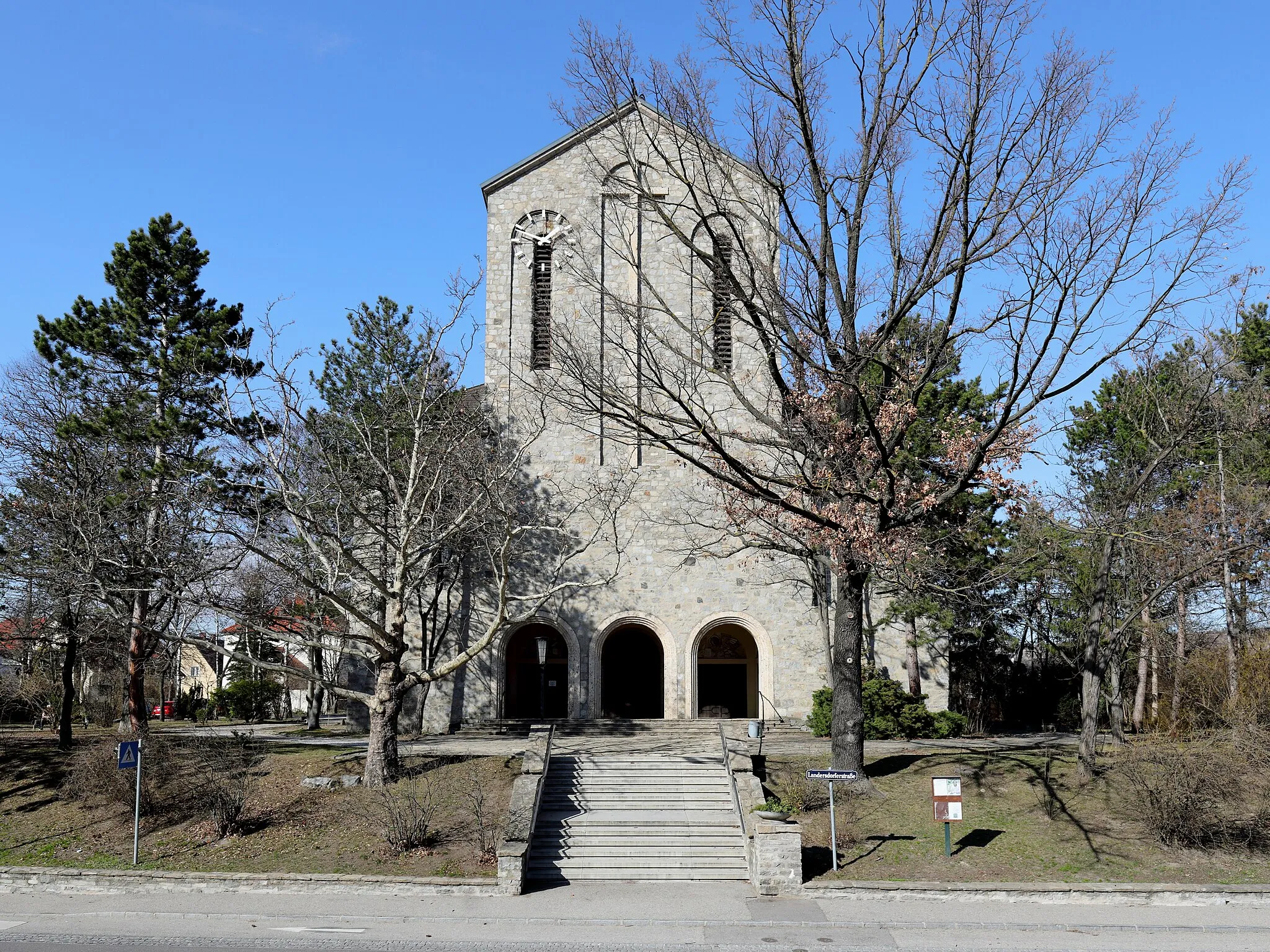
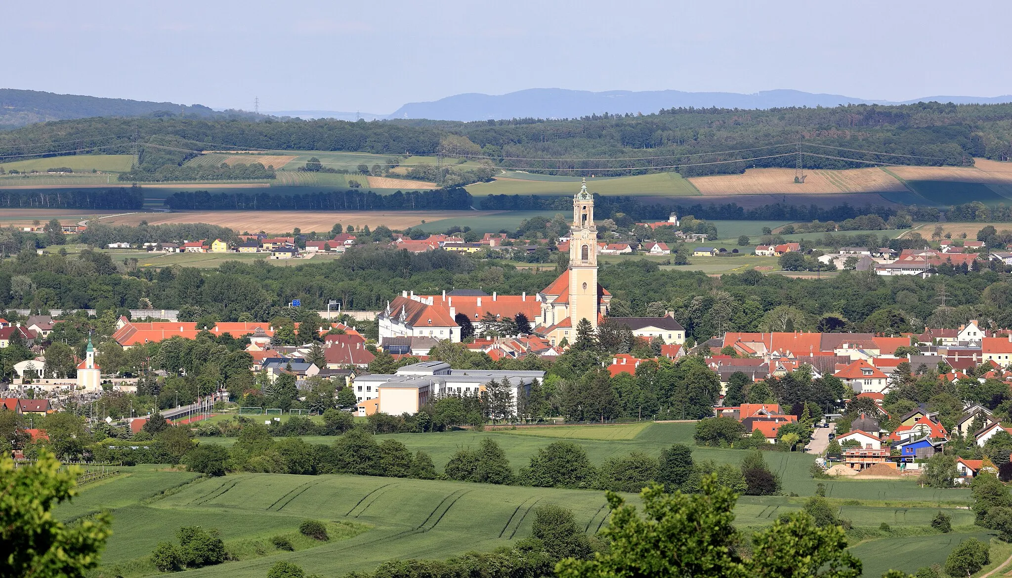
JaidhofVillageVisit the small town of Jaidhof and explore its historic center with its well-preserved buildings
52 km
52 km
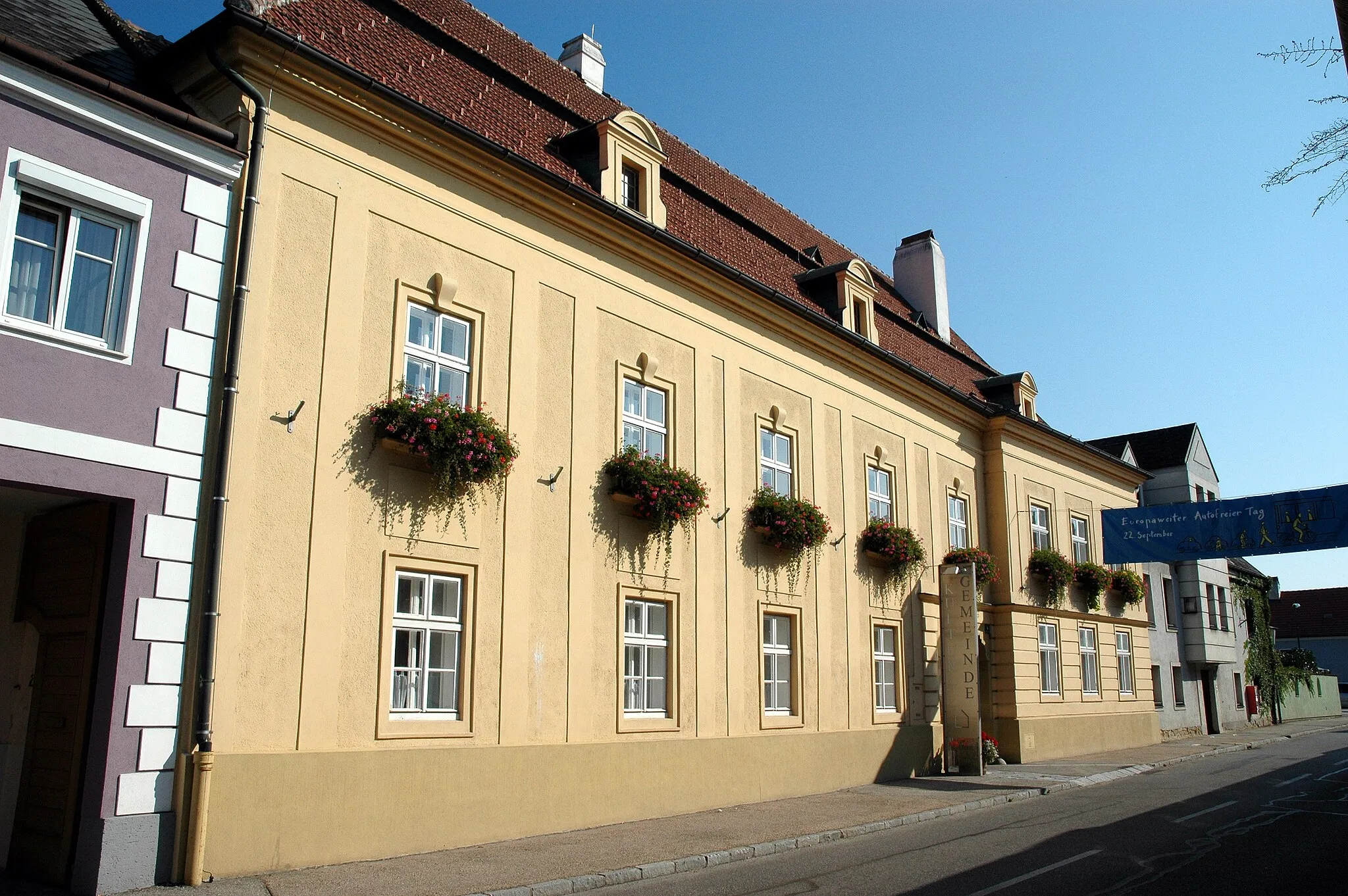
DroßVillageStop by Droß and discover its charming streets and picturesque squares
60 km
60 km
WeinzierlSub-urbPedal through the scenic vineyards of Weinzierl and take in the stunning mountain backdrop
66 km
66 km
Finish: Furth bei Göttweig Village centerFurth bei Göttweig: Cycling amidst the scenic beauty of Furth bei Göttweig's hilly landscapes and iconic Abbey.
Cycling routes from Furth bei Goettweig:
The Gravel Wine Tour The Scenic Gravel Trail The Road to Wine Country The Flavorful Gravel Ride The Adventurous Gravel Odyssey Göttweig and Back Discover the Countryside: Furth bei Göttweig to Unterbergern Exploring the Gravel Paths Furth bei Göttweig - Krems - Furth bei Göttweig Furth bei Göttweig - Mautern an der Donau - Furth bei Göttweig
Cycling routes nearby: