Thrilling descents and off-road adventures
Cycling routes from Kaltenleutgeben
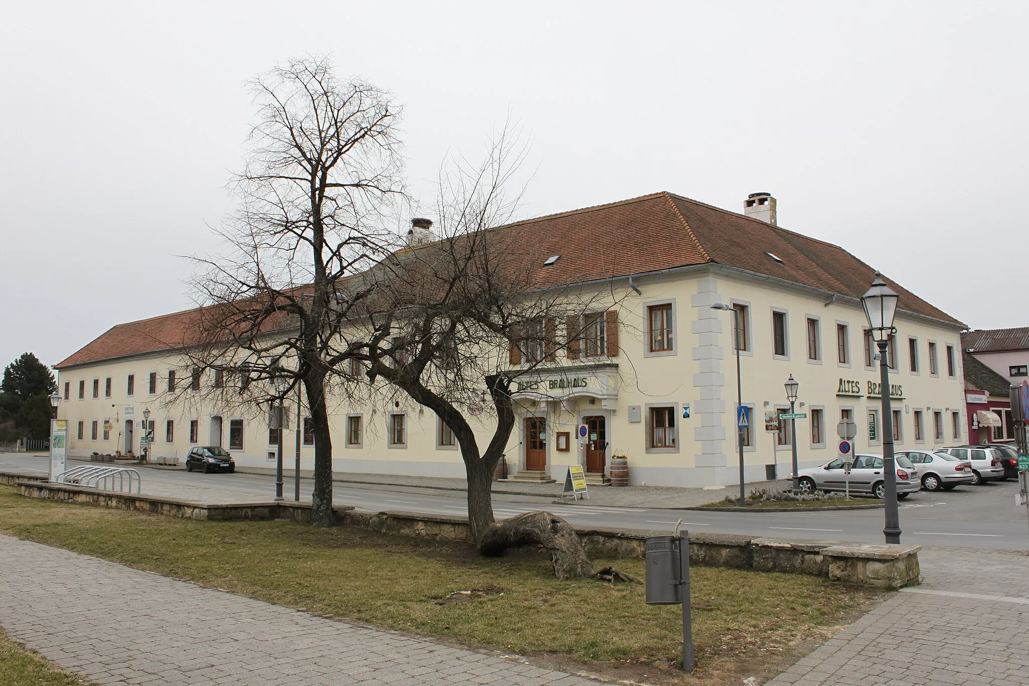
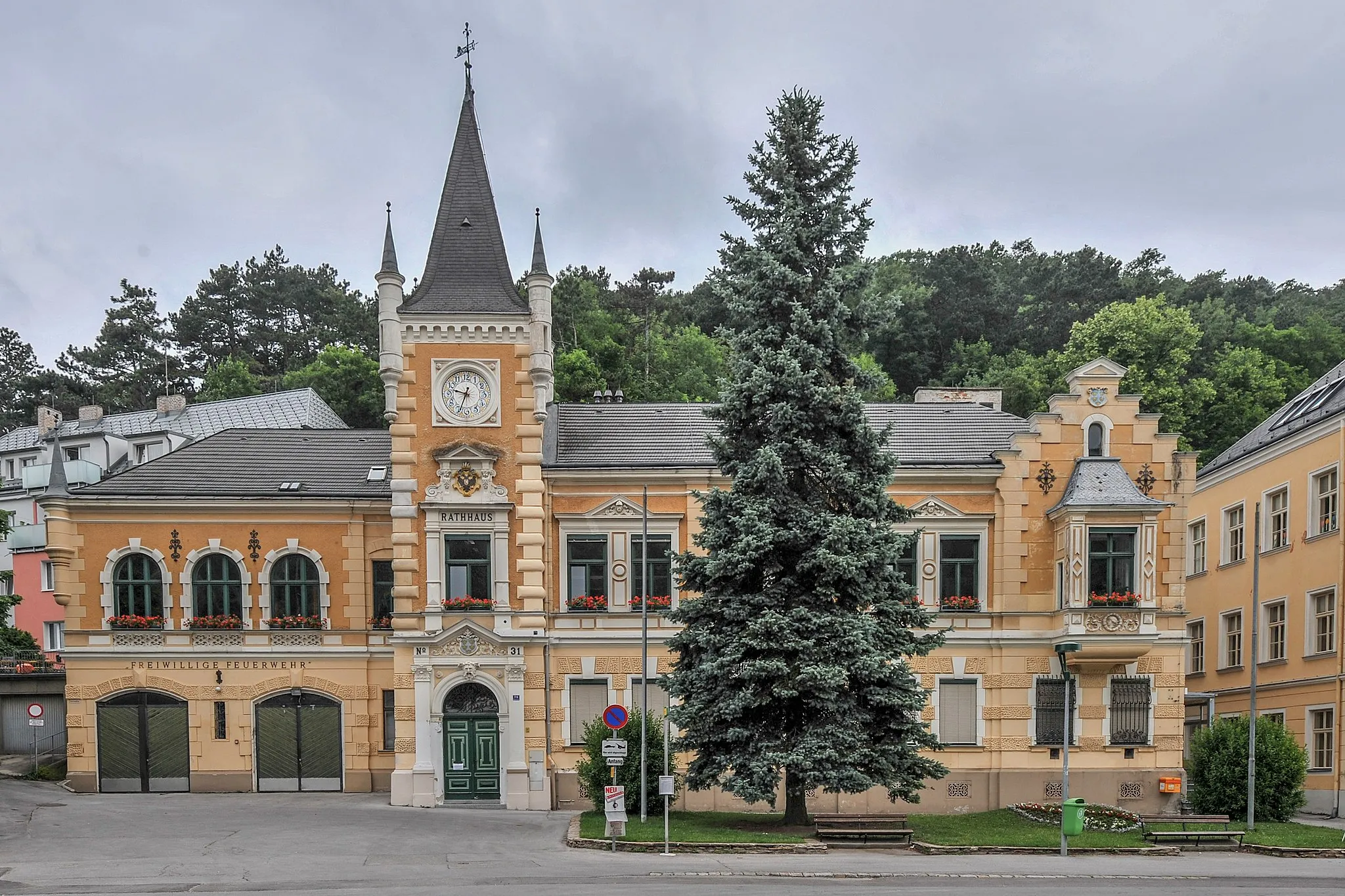
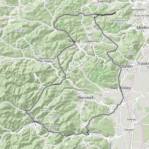
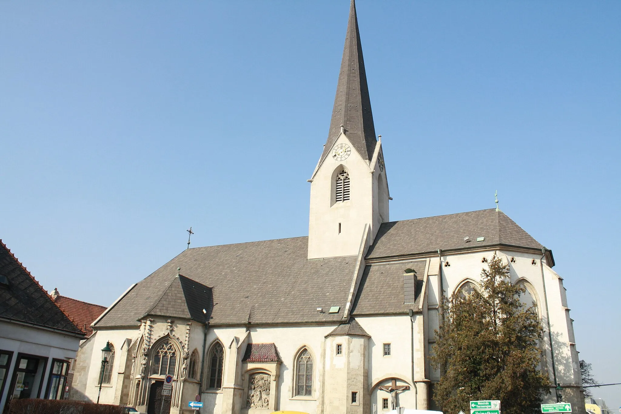
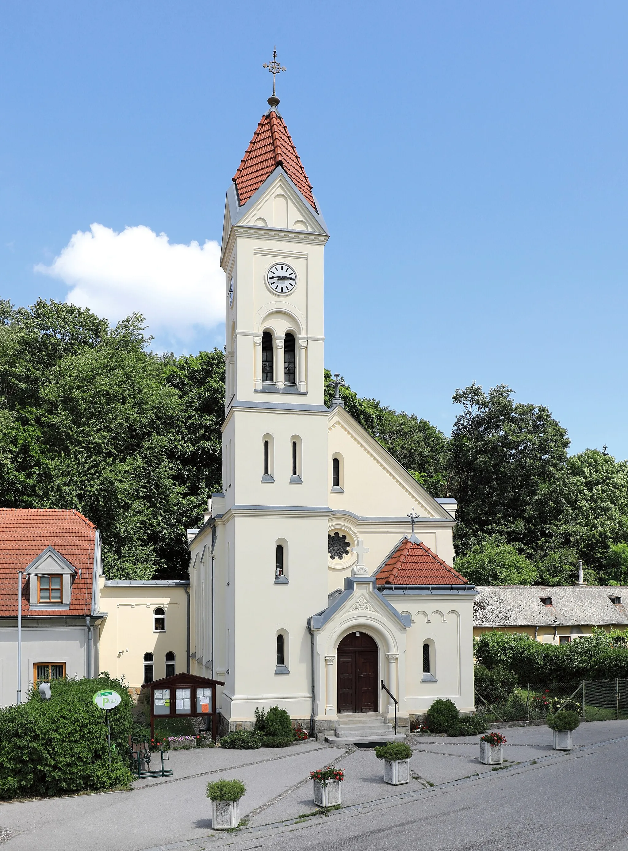
Kaltenleutgeben, located in Niederösterreich, Austria, is a cyclist's haven. The locality offers a variety of road and gravel cycling routes that showcase the stunning landscapes of the region. Road cyclists will enjoy the well-maintained roads and thrilling descents that Calenberg has to offer. Gravel cyclists can explore the numerous forest and mountain trails, providing plenty of opportunities for off-road adventures. Kaltenleutgeben is also in close proximity to the iconic Schneeberg climb, known for its challenging ascent and breathtaking views. Whether you're a road cyclist or a gravel enthusiast, Kaltenleutgeben provides an unforgettable cycling experience.
Discover scenic roads and charming villages on this road cycling route near Kaltenleutgeben.
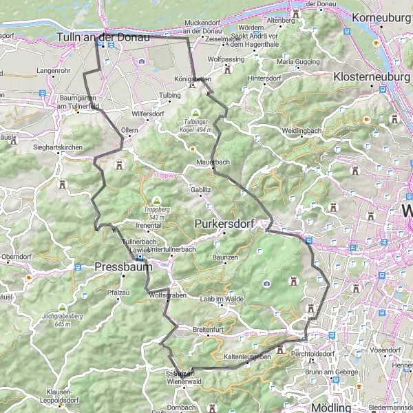
The Totenkopf Circuit is a wonderful road cycling route near Kaltenleutgeben, offering stunning scenery and interesting sights along the way. With a total ascent of 1095 meters and a distance of 89 kilometers, this route is perfect for well-trained amateur cyclists looking for a challenging ride. Along the way, you'll encounter highlights such as Tabor, a historic town with a rich history, as well as Tulln an der Donau, a beautiful town known for its stunning gardens and impressive architecture. Other highlights include Hütteldorf, where you can enjoy panoramic views of the surrounding mountains, and Gernberg, a picturesque village nestled in the hills.
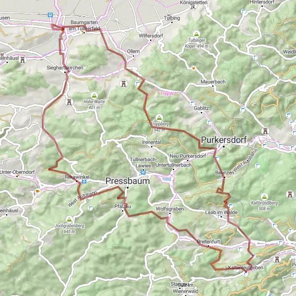
Immerse yourself in the beautiful Vienna Woods while exploring gravel roads.
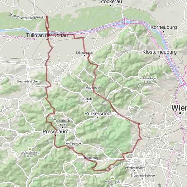
Discover the peaceful and picturesque Vienna Woods on this gravel route starting near Kaltenleutgeben. The journey takes you through scenic routes and challenging terrains, offering a unique experience for gravel enthusiasts. With a total distance of 95 km and an ascent of 1492 m, this route showcases the unparalleled beauty of the Austrian countryside while providing a thrilling adventure.
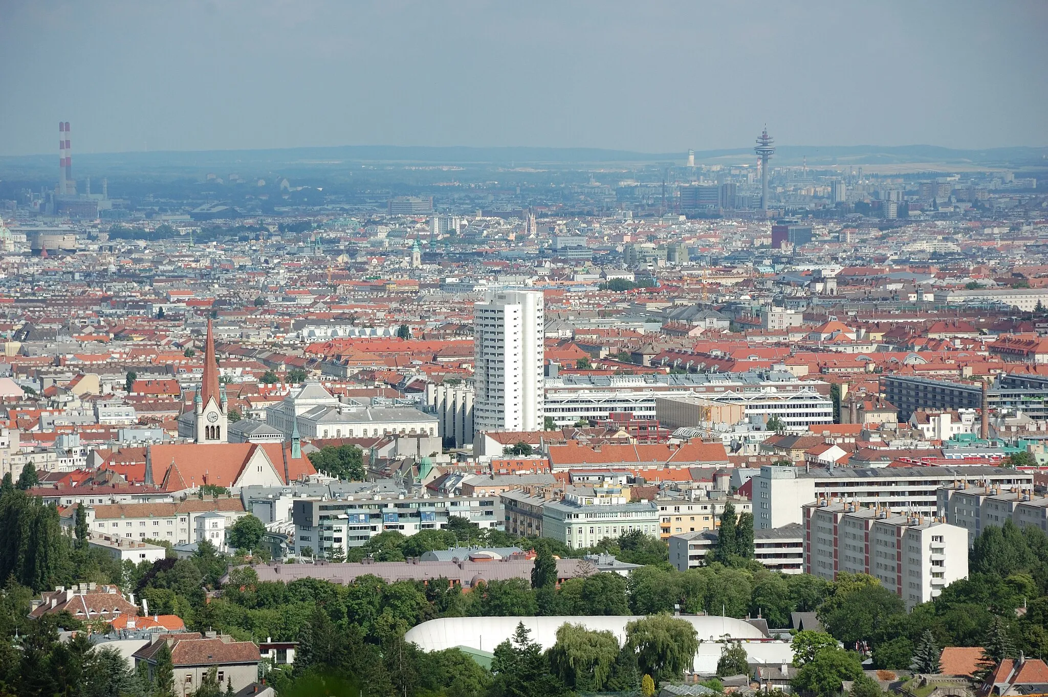
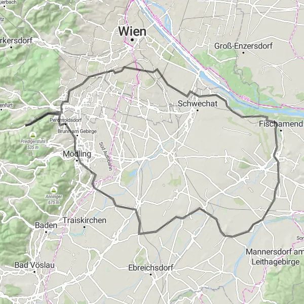
Indulge in a scenic gravel ride with breathtaking views of the Vienna skyline.
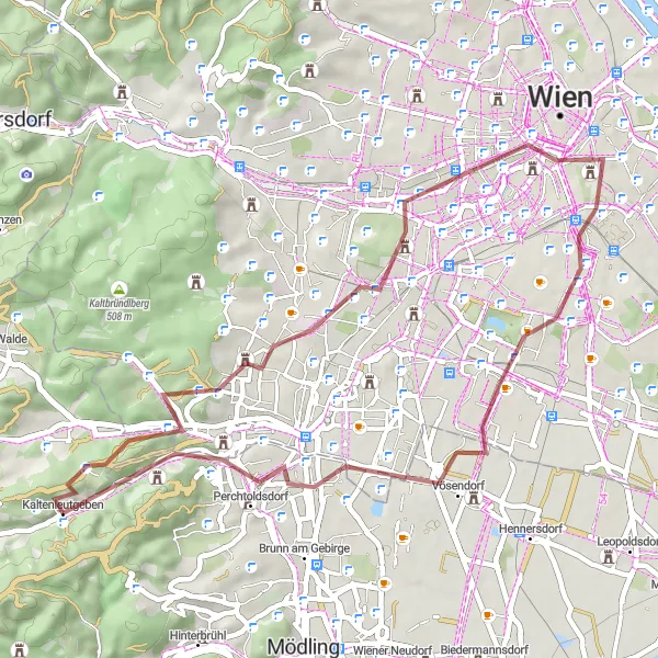
Embark on an unforgettable gravel ride with stunning views of the Vienna skyline. This 45 km route, with an ascent of 503 m, allows you to immerse yourself in the picturesque landscapes surrounding Vienna. Experience the tranquil beauty of nature while witnessing iconic landmarks along the way, creating memories that will last a lifetime.
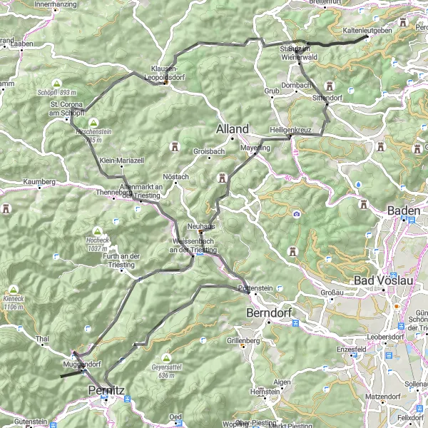
A breathtaking ride to the highest peak of Lower Austria
The Schneeberg Circuit is a challenging and epic road cycling route starting near Kaltenleutgeben. It takes cyclists on a scenic journey through the picturesque landscapes of Niederösterreich, gradually ascending towards the majestic Schneeberg mountain. With a total ascent of 2,029 meters and a distance of 109 kilometers, this route is not for the faint of heart. However, the stunning views and exhilarating downhill sections make it all worth it. Cyclists will pass by various highlights along the way, each offering unique experiences and insights into the region's history and culture.
The Weinberg Adventure
Embark on an epic road cycling journey through the beautiful Weinberg region near Kaltenleutgeben.
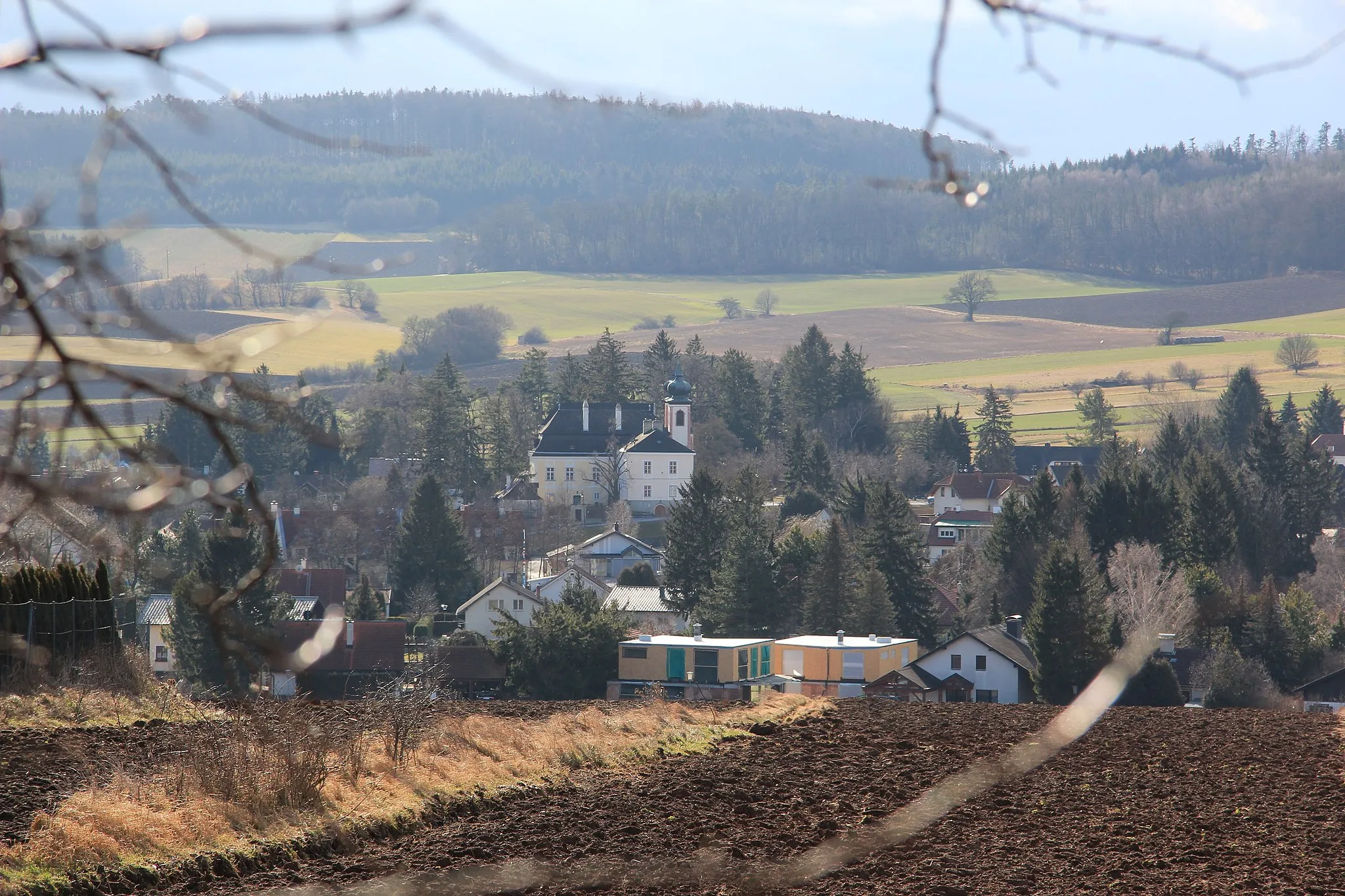
The Weinberg Adventure is an exhilarating road cycling route near Kaltenleutgeben, showcasing the charm and beauty of the Weinberg region. With a total ascent of 388 meters and a distance of 96 kilometers, this route is suitable for intermediate cyclists looking for a memorable ride. Along the way, you'll encounter highlights such as Steinberg, a picturesque village nestled among vineyards and offering panoramic views, as well as Enzersdorf an der Fischa, a quaint village known for its wine production and historical buildings. Other highlights include Reisenberg, a charming town with cobblestone streets and well-preserved architecture, and Guntramsdorf, where you can taste delicious local wines and explore the city's rich history.
Embark on a thrilling gravel cycling adventure through the scenic countryside near Kaltenleutgeben.
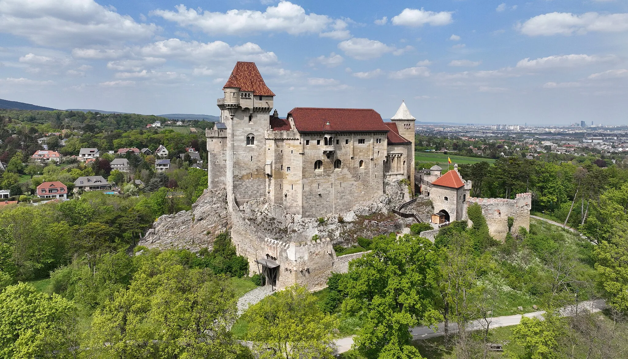
The Gravel Adventure is a thrilling gravel cycling route near Kaltenleutgeben, offering riders the chance to explore the picturesque countryside on off-road trails. With a total ascent of 1290 meters and a distance of 71 kilometers, this route is suitable for experienced gravel cyclists looking for a challenging and rewarding ride. Along the way, you'll encounter highlights such as Höllenstein, a stunning natural rock formation that provides a picturesque backdrop to the surrounding landscape, as well as Burg Wildegg, a historic castle with beautiful gardens and intriguing history. Other highlights include Guglzipf, a quaint village offering stunning views of the surrounding hills, and Sulz im Wienerwald, a charming town with traditional Austrian architecture and a peaceful atmosphere.
Embark on a picturesque gravel journey unveiling stories of the Vienna Woods.
Uncover the enchanting stories concealed within the Vienna Woods on this picturesque gravel route. With a distance of 79 km and an ascent of 1611 m, this route takes you through charming villages, historical landmarks, and breathtaking natural landscapes. Immerse yourself in the rich culture and history of the region while indulging in the beauty of the Austrian countryside.
Experience the challenges and rewards of a road cycling tour in Niederösterreich.
Embark on a challenging road cycling tour in Niederösterreich, starting near Kaltenleutgeben. With a total distance of 114 km and an ascent of 1722 m, this route is perfectly suited for experienced cyclists seeking a thrilling adventure. From testing yourself with challenging climbs to enjoying the stunning countryside scenery, this cycling tour offers a rewarding experience for dedicated cyclists.

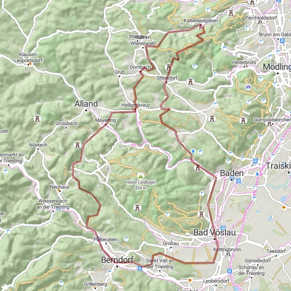
Conquer the mighty Gaiskogel mountain and explore the scenic surroundings on this road cycling route near Kaltenleutgeben.
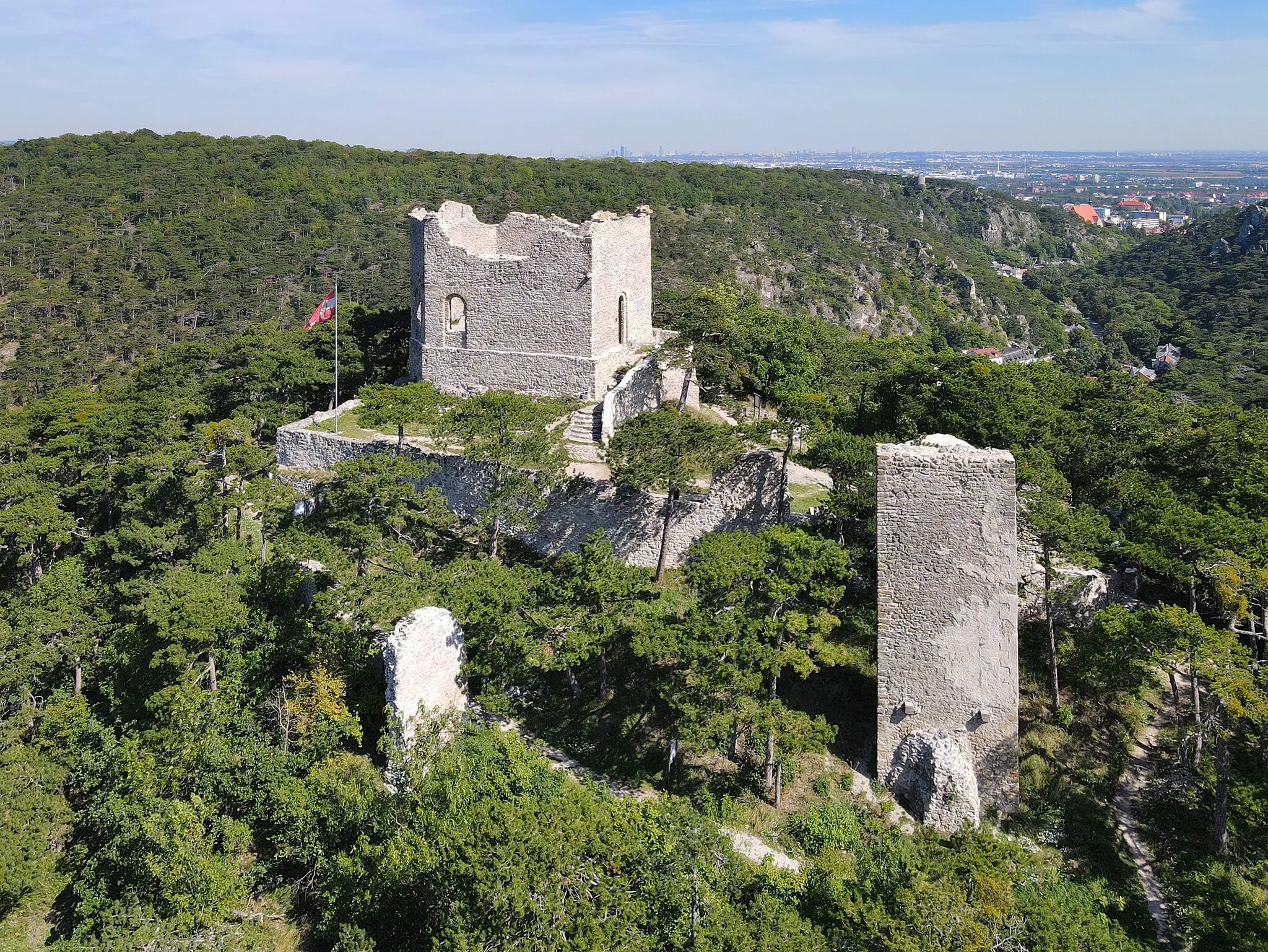
The Gaiskogel Challenge is a thrilling road cycling route near Kaltenleutgeben, offering breathtaking views and challenging climbs. With a total ascent of 1239 meters and a distance of 73 kilometers, this route is suitable for experienced cyclists seeking an adrenaline-pumping adventure. Along the way, you'll encounter highlights such as Totenkopf, a famous rock formation providing a dramatic backdrop to the surrounding landscape, as well as Heiligenkreuz, a picturesque town with a beautiful monastery and tranquil atmosphere. Other highlights include Weinberg, a charming village with stunning views of the surrounding vineyards, and Gaiskogel, a majestic mountain offering rewarding panoramic vistas.

Embark on a thrilling gravel ride through the outskirts of Vienna.
Unleash your adventurous spirit as you traverse the outskirts of Vienna on this gravel route. With a distance of 65 km and an ascent of 1276 m, this route provides a thrilling experience for gravel enthusiasts of all levels. Be captivated by the diverse landscapes and historical landmarks along the way, immersing yourself in the rich history and scenic beauty of Vienna's surroundings.
Cycling routes nearby:

Nearby regions: