The Gaiskogel Challenge
A road cycling route starting from Kaltenleutgeben
Conquer the mighty Gaiskogel mountain and explore the scenic surroundings on this road cycling route near Kaltenleutgeben.
Map

The Gaiskogel Challenge is a thrilling road cycling route near Kaltenleutgeben, offering breathtaking views and challenging climbs. With a total ascent of 1239 meters and a distance of 73 kilometers, this route is suitable for experienced cyclists seeking an adrenaline-pumping adventure. Along the way, you'll encounter highlights such as Totenkopf, a famous rock formation providing a dramatic backdrop to the surrounding landscape, as well as Heiligenkreuz, a picturesque town with a beautiful monastery and tranquil atmosphere. Other highlights include Weinberg, a charming village with stunning views of the surrounding vineyards, and Gaiskogel, a majestic mountain offering rewarding panoramic vistas.
road
73 km
1239 m
Tough
Route profile
Highlights on the route
0 km
0 km
Start: Kaltenleutgeben Village centerKaltenleutgeben: Thrilling descents and off-road adventures
Kaltenleutgeben, located in Niederösterreich, Austria, is a cyclist's haven. The locality offers a variety of road and gravel cycling routes that showcase the stunning landscapes of the region. Road cyclists will enjoy the well-maintained roads and thrilling descents that Calenberg has to offer. Gravel cyclists can explore the numerous forest and mountain trails, providing plenty of opportunities for off-road adventures. Kaltenleutgeben is also in close proximity to the iconic Schneeberg climb, known for its challenging ascent and breathtaking views. Whether you're a road cyclist or a gravel enthusiast, Kaltenleutgeben provides an unforgettable cycling experience.4 km
4 km
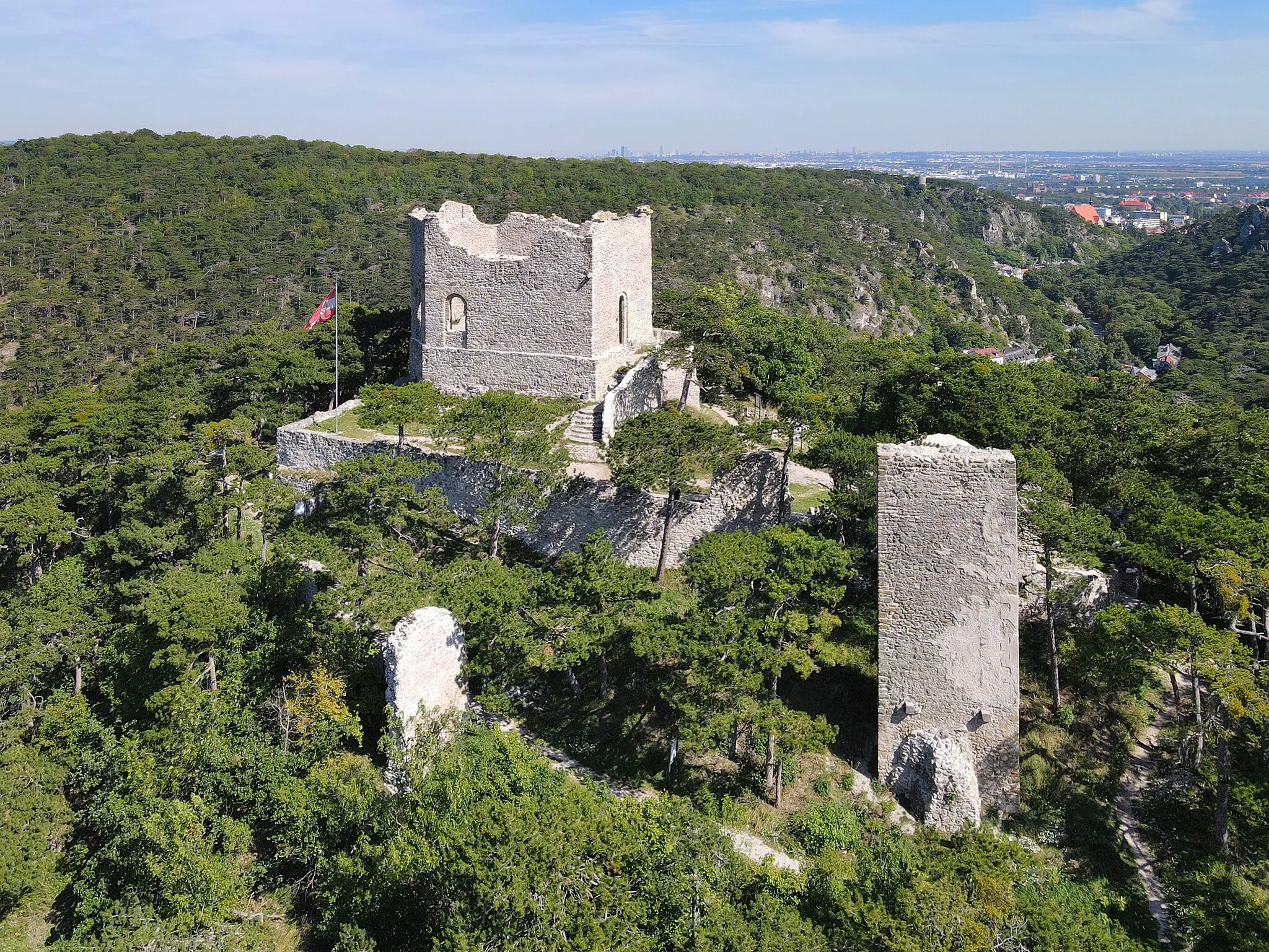
Totenkopf481 mPeakTotenkopf, or the "Death's Head," is a famous rock formation that provides a dramatic backdrop to the surrounding landscape.
15 km
15 km
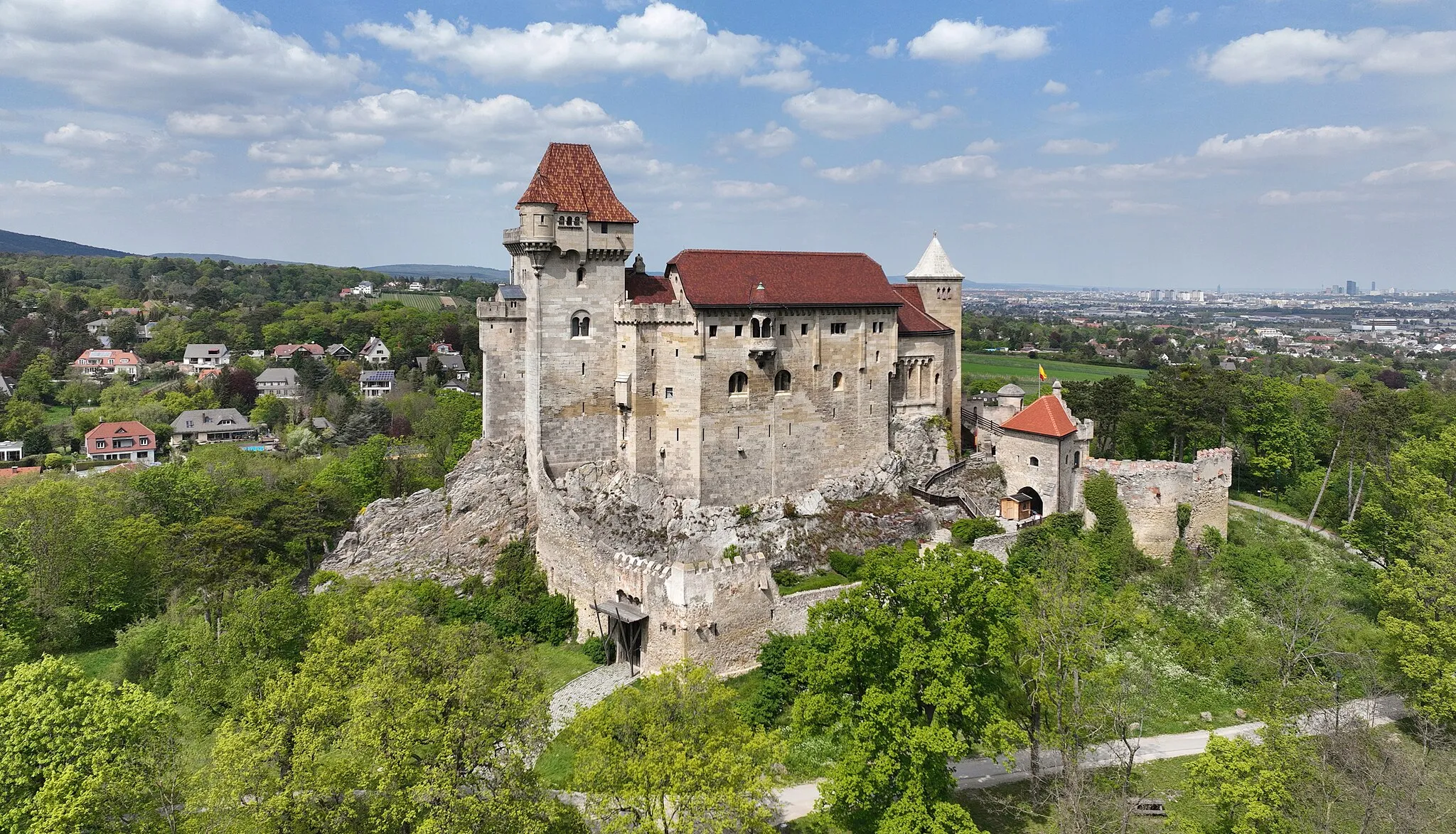
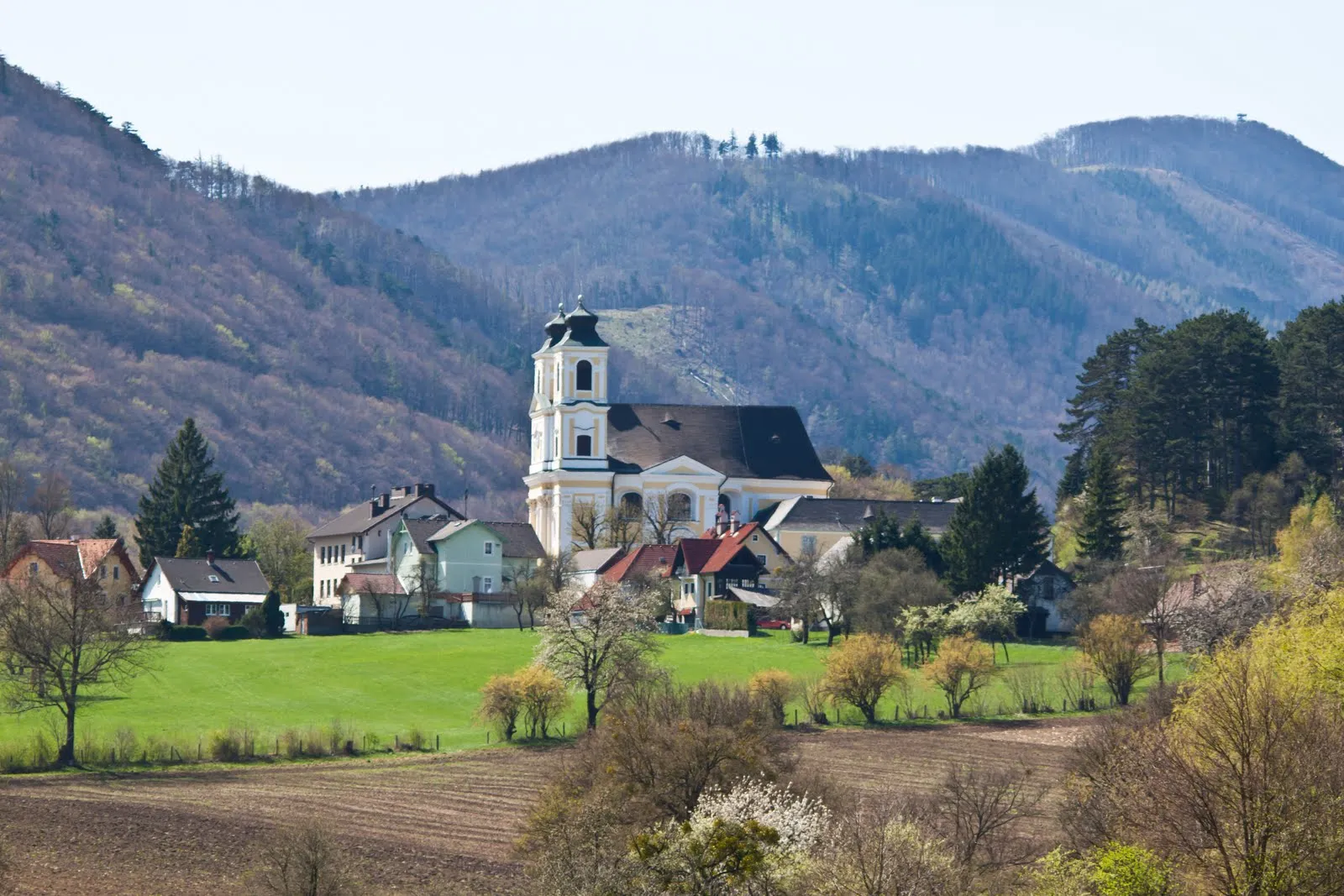
HeiligenkreuzVillageHeiligenkreuz is a picturesque town famous for its beautiful monastery and serene atmosphere.
30 km
30 km
Weinberg530 mPeakWeinberg is a charming village located among vineyards, offering breathtaking vistas and a tranquil ambiance.
35 km
35 km
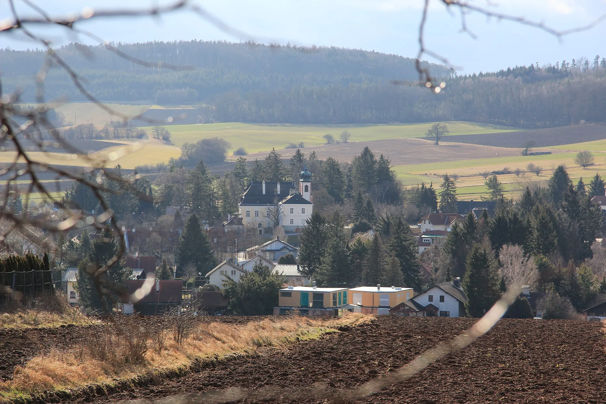
Weissenbach an der TriestingVillageWeißenbach an der Triesting is a charming town known for its historical sites and idyllic setting.
43 km
43 km
Gaiskogel474 mPeakGaiskogel is a majestic mountain that offers challenging climbs and rewarding panoramic views.
55 km
55 km
Klausen-LeopoldsdorfVillageKlausen-Leopoldsdorf is a picturesque village with well-preserved architecture and scenic landscapes.
64 km
64 km
GruberauHamletGruberau is a small hamlet surrounded by nature, offering peace and tranquility to cyclists.
65 km
65 km
Kleiner Winkelberg469 mPeakKleiner Winkelberg is a small hill that provides stunning views of the surrounding valleys and hills.
73 km
73 km
Gaisberg602 mPeakGaisberg is a picturesque hill known for its panoramic vistas and peaceful atmosphere.
73 km
73 km
Finish: Kaltenleutgeben Village centerKaltenleutgeben: Thrilling descents and off-road adventures
Cycling routes from Kaltenleutgeben:
Picturesque Stories of the Vienna Woods Gravel Adventures in the Vienna Woods The Totenkopf Circuit Unforgettable Gravel Explorations in Vienna's Outskirts Challenging Road Cycling Tour in Niederösterreich The Schneeberg Circuit The Weinberg Adventure Scenic Gravel Ride with Vienna Skyline Views The Gaiskogel Challenge The Gravel Adventure
Cycling routes nearby: