Picturesque Cycling Destination in Niederösterreich
Cycling routes from Kottingbrunn
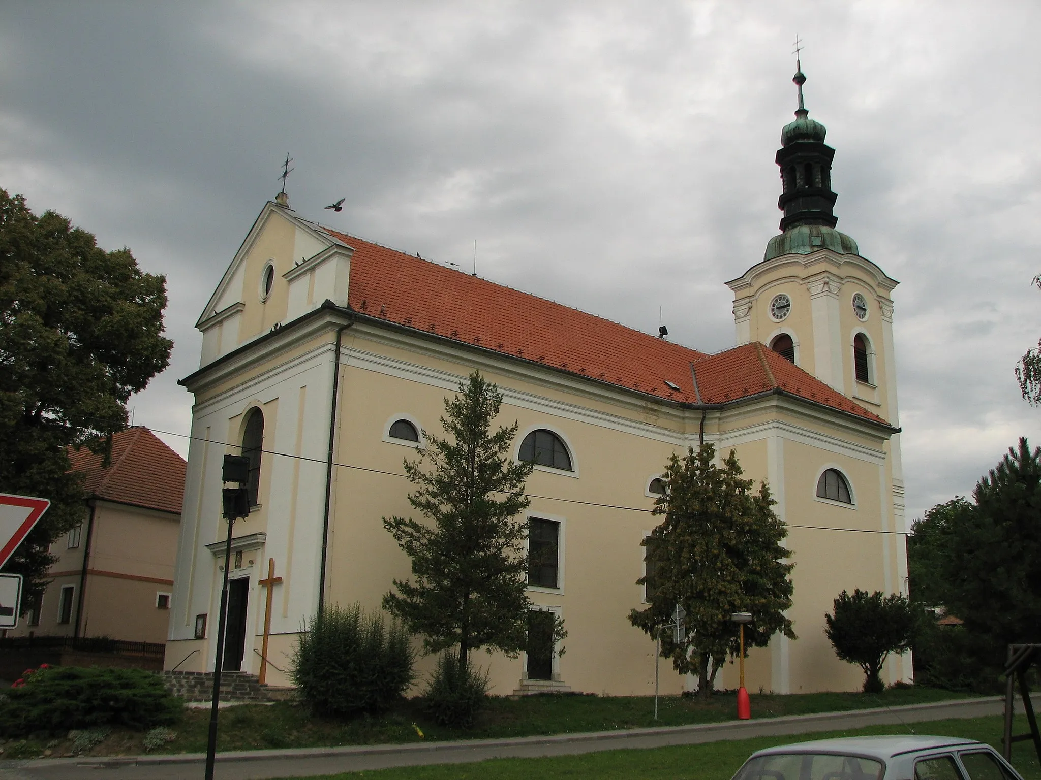
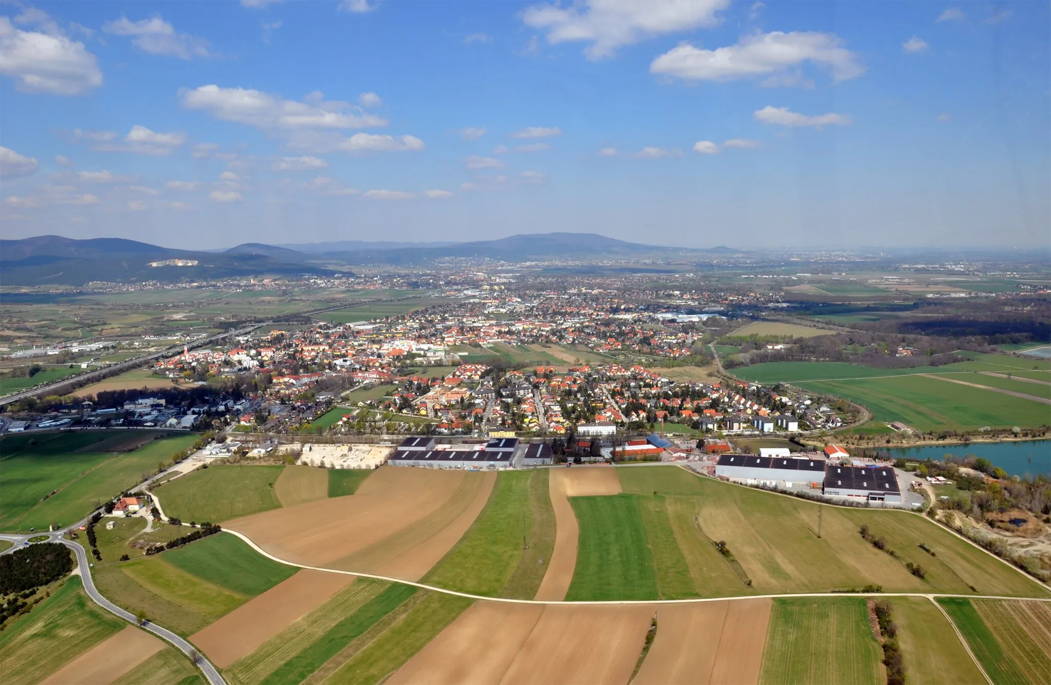
Kottingbrunn is a picturesque locality located in Niederösterreich, Austria. From a cyclist's perspective, this area offers a range of scenic routes suitable for both road and gravel cycling. The landscape is characterized by rolling hills and vineyards, providing a peaceful and enjoyable cycling experience. Kottingbrunn is surrounded by several cycling-friendly towns and villages, such as Baden, which is known for its thermal baths and historic center. This makes it an ideal base for exploring the surrounding areas and enjoying the local culture. Overall, Kottingbrunn is a great destination for cyclists looking for a mix of scenic beauty and cultural experiences.
Immerse yourself in rich history and breathtaking landscapes
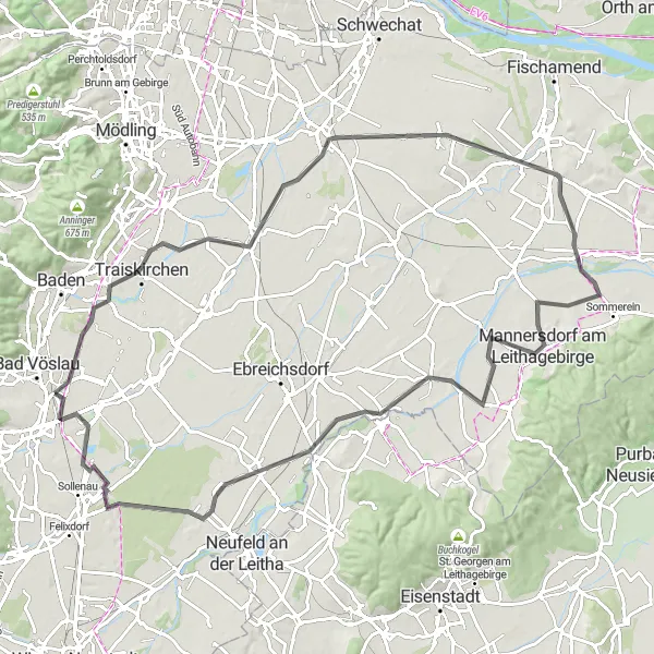
Embark on an unforgettable road cycling adventure near Kottingbrunn and be captivated by the beauty of Niederösterreich. With a total distance of 97 kilometers and an ascent of 247 meters, this route offers a moderate challenge and showcases the region's diverse landscapes. From the enchanting Harterberg to the idyllic Münchendorf, each town along the way has its own unique charm. Stop by Himberg, known for its well-preserved historical center, before continuing your journey to Andreasberg, where you can marvel at panoramic views of the countryside. Trautmannsdorf an der Leitha, with its charming town center, is the perfect spot to take a break and explore. As you pedal through Seibersdorf, admire the picturesque surroundings before reaching the quaint Wimpassing an der Leitha, known for its welcoming locals and tranquil atmosphere. Conclude your journey in Schönau an der Triesting, a historical town surrounded by stunning natural landscapes.
Kottingbrunn Road Cycling Route
Experience the beauty of Bad Vöslau and Wiener Neustadt
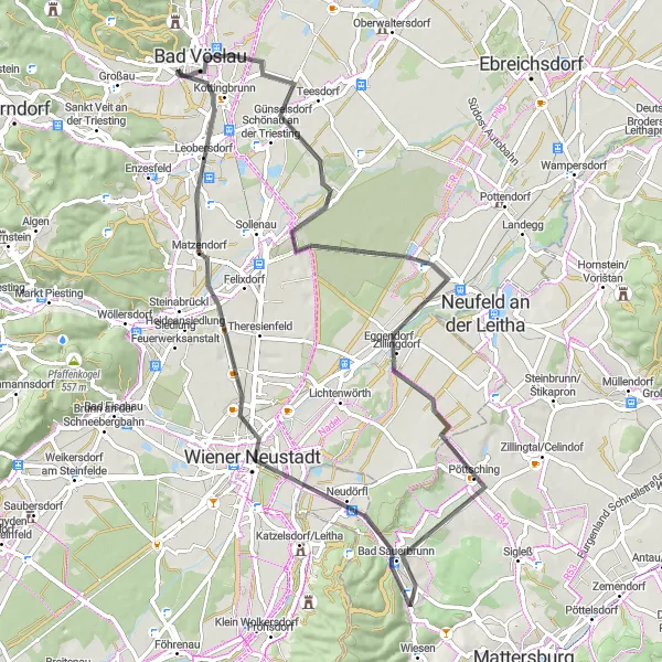
This road cycling route near Kottingbrunn takes you through picturesque towns such as Bad Vöslau and Wiener Neustadt. With a total distance of 70 kilometers and an ascent of 252 meters, this route provides a moderate challenge for amateur cyclists. Enjoy the stunning landscapes of Niederösterreich as you pedal along the route.
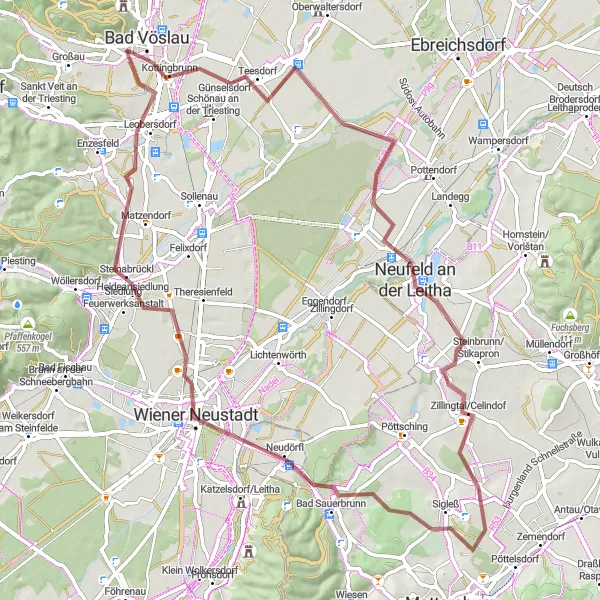
Discover the natural beauty and historical sites of the Leitha region, including Oberwaltersdorf and Neufeld an der Leitha.
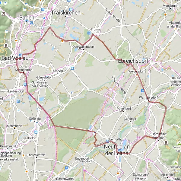
This gravel route takes you through the scenic Leitha region, where you'll encounter a mix of natural beauty and historical landmarks. Highlights along the way include Oberwaltersdorf, a picturesque village with charming houses and beautiful gardens. Neufeld an der Leitha is another highlight, with its stunning lake and recreational opportunities. With moderate elevation gain and a relatively short distance, this route is suitable for cyclists of various fitness levels. Enjoy the peaceful countryside and soak in the rich history of the Leitha region.
Conquer steep climbs and reach the summit of ultimate cycling satisfaction
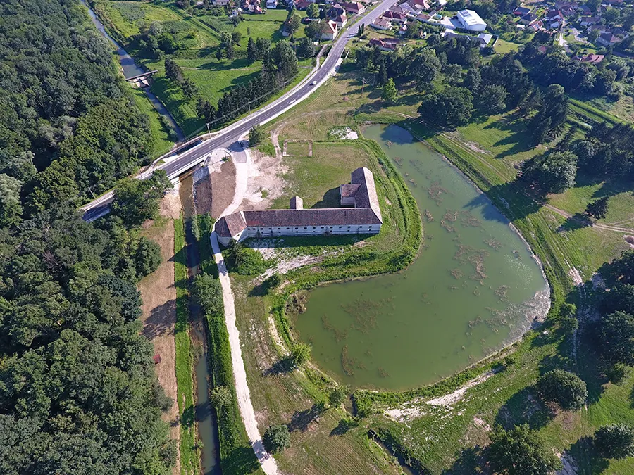
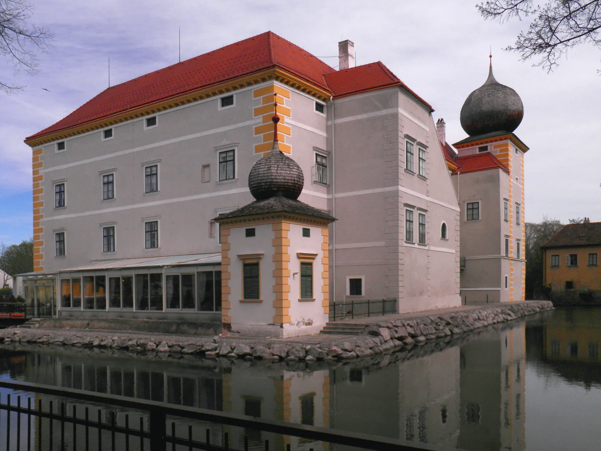
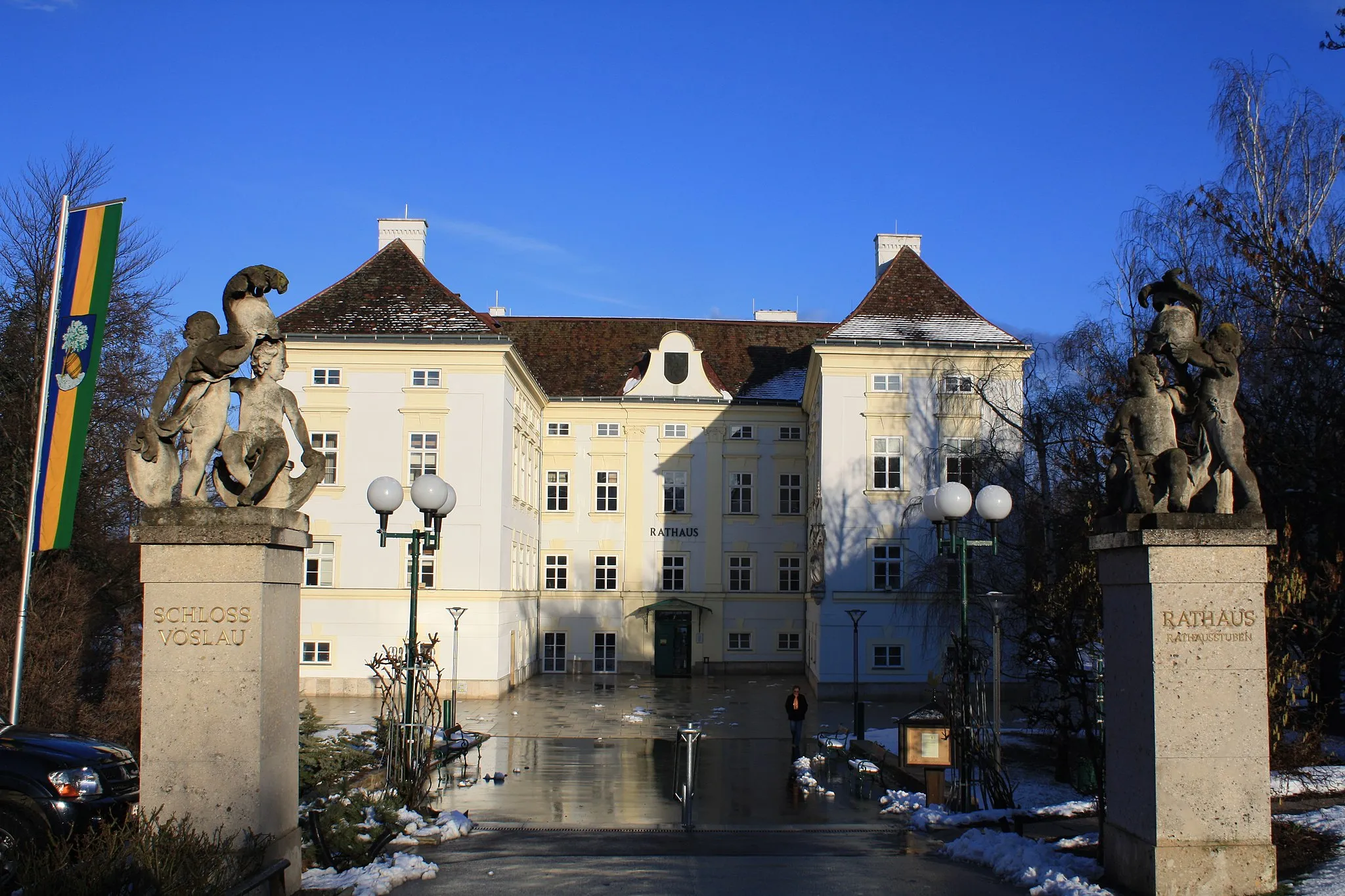
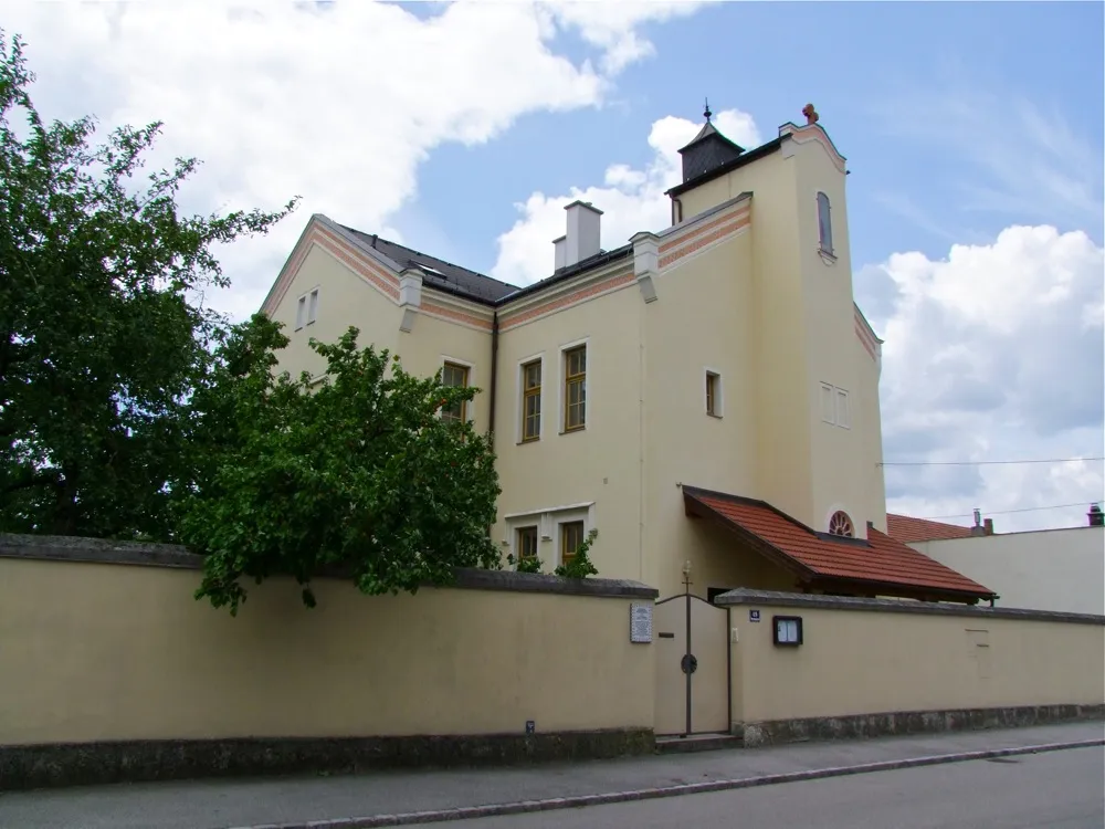
Prepare yourself for a challenging road cycling route near Kottingbrunn that will push your limits and reward you with stunning views. With a total distance of 86 kilometers and an elevation gain of 1024 meters, this route is designed for experienced cyclists seeking an epic adventure. Experience the thrill of conquering Merkenstein, a steep climb that tests your strength and endurance. Marvel at the beauty of Maria Raisenmarkt, located in the heart of the Hohe Wand Nature Park, as you make your way through the route. Klausen-Leopoldsdorf offers picturesque landscapes and peaceful surroundings, perfect for a moment of reflection. Reach the exhilarating summit of Kaiserbrunnberg and soak in the panoramic vistas before descending to Kleiner Semmering, a famous spot among cycling enthusiasts. Sulz im Wienerwald rewards your efforts with stunning viewpoints and a well-deserved break. As you cycle through Gaaden, keep your eyes peeled for its charming architectural heritage. End your journey at Wasserschloss Kottingbrunn, a beautiful water castle that serves as a majestic landmark in the area.
Embark on a scenic loop around Harteberg, passing by picturesque villages and beautiful natural sights.
This gravel loop takes you through the picturesque region around Harteberg, showcasing stunning landscapes and charming villages. Highlights along the way include Harteberg itself, known for its panoramic views of the surrounding countryside. Münchendorf offers another highlight, with its quaint village center and beautiful church. With a relatively flat route and a moderate distance, this tour is suitable for cyclists of all levels. Discover the beauty of Harteberg and its surroundings on this delightful cycling adventure.
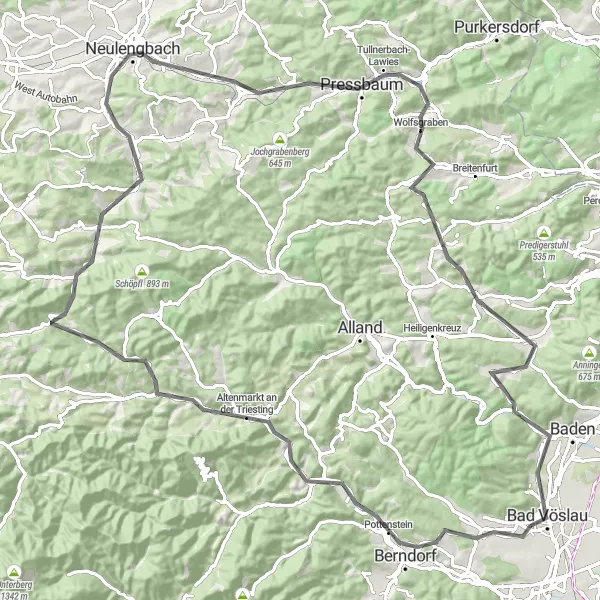
Embark on a challenging journey through the scenic Triesting Valley, passing by vineyards, historic towns, and stunning viewpoints.
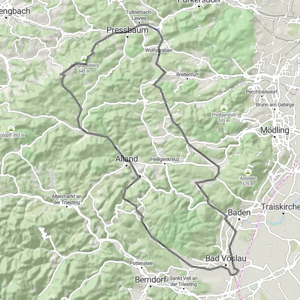
This road cycling route takes you on a challenging journey through the picturesque Triesting Valley. With a combination of steep climbs and scenic descents, you'll be rewarded with breathtaking views and memorable experiences. Highlights along the way include Weinberg, known for its idyllic vineyards and wine production. Weissenbach an der Triesting offers another highlight, with its charming old town and well-preserved buildings. With significant elevation gain and a long distance, this route is recommended for experienced cyclists looking for a challenging adventure. Immerse yourself in the beauty of the Triesting Valley and enjoy the sense of accomplishment as you conquer its climbs.
Tattendorf and surrounding gems
Explore the beautiful countryside near Kottingbrunn, with highlights including Tattendorf and Leobersdorf.
This round-trip route takes you through the charming towns and scenic countryside around Kottingbrunn. With a mix of gravel paths and quiet roads, you'll enjoy rolling hills and picturesque landscapes. Highlights along the way include the historic town of Tattendorf, known for its vineyards and wine cellars. Leobersdorf offers another highlight, with its charming old town and interesting architecture. Overall, this route provides a delightful cycling experience with a moderate level of difficulty.
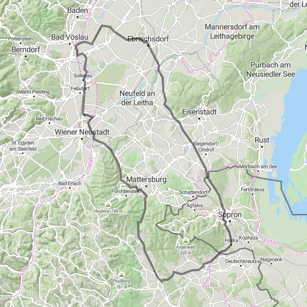
Conquer challenging climbs and marvel at unique attractions
If you're up for a challenge, this road cycling route near Kottingbrunn is perfect for you. With a total distance of 131 kilometers and an elevation gain of 907 meters, this route will test your endurance and skills. Along the way, you'll pass through Oberwaltersdorf, home to a beautiful castle and stunning natural scenery. Hirschbühel offers breathtaking views of the surrounding area, while Großhöflein is known for its vibrant VOLT Festival. The route also takes you to Tengerszem, a picturesque lake where you can take a refreshing swim or simply relax by the water. Weppersdorf is another highlight, with its charming village atmosphere and traditional local cuisine.
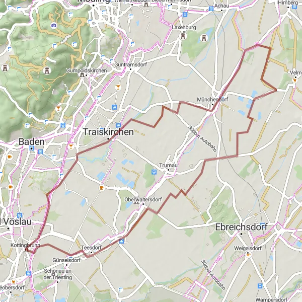
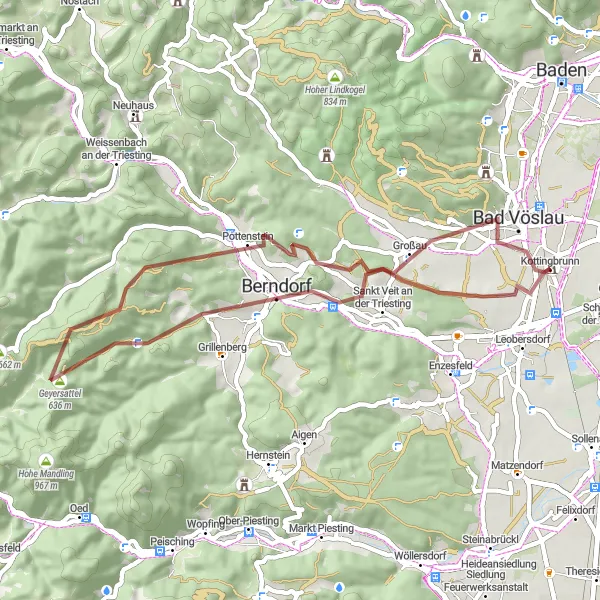
Kottingbrunn Gravel Adventure

Uncover the hidden gems of Niederösterreich on this 76 km gravel route
Embark on a gravel adventure through the beautiful countryside of Niederösterreich. This 76 km route offers a mix of off-road trails and scenic country roads, allowing you to explore charming villages, rolling hills, and picturesque landscapes. With a moderate difficulty level, it is suitable for well-trained amateur cyclists looking for a challenge. Experience the thrill of tackling gravel sections and enjoy peaceful tranquility as you cycle through the region.
Enjoy the breathtaking scenery around Berndorf and explore the historic sights along the way.
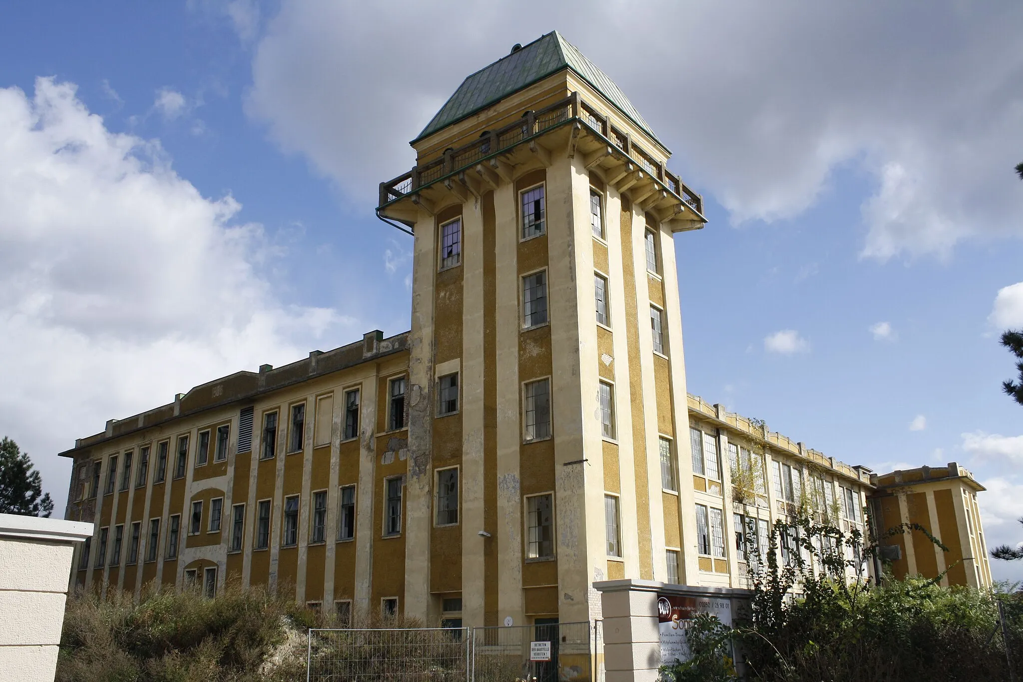
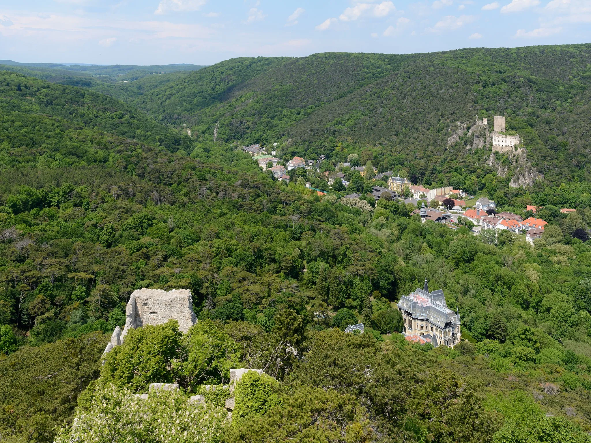
This gravel cycling route showcases the breathtaking scenery surrounding Berndorf and takes you through various historic towns and picturesque landscapes. Highlights include Berndorf itself, known for its fascinating industrial history and beautiful park. Waxeneck offers another highlight, with its impressive castle ruins and panoramic views. With challenging elevation gain and a moderate distance, this route is well-suited for experienced cyclists looking for a rewarding adventure. Immerse yourself in nature and uncover the rich history of Berndorf and its surrounding areas.
Cycling routes nearby:


Nearby regions: