Experience the natural beauty and hospitality of Leobersdorf while cycling through scenic landscapes.
Cycling routes from Leobersdorf
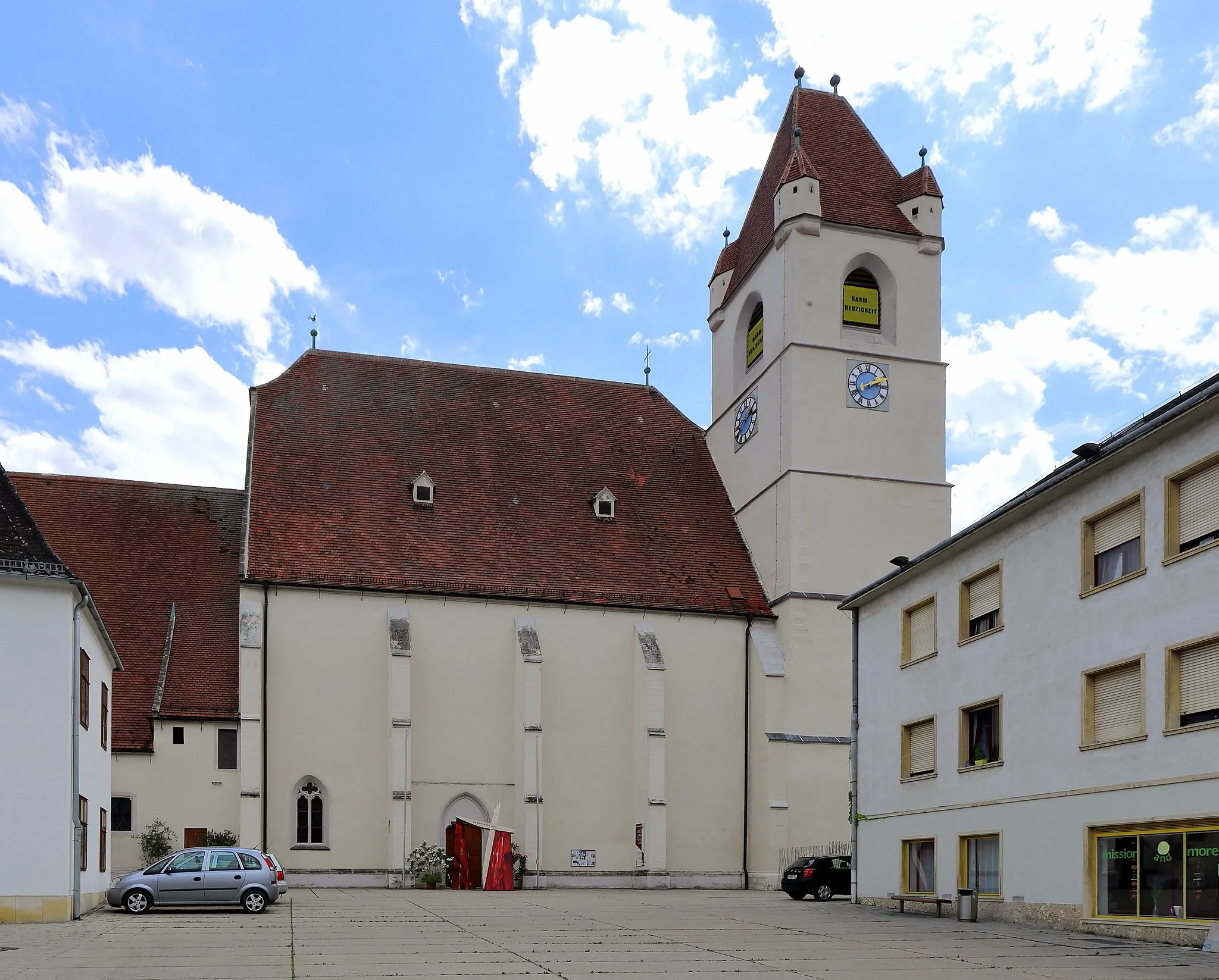
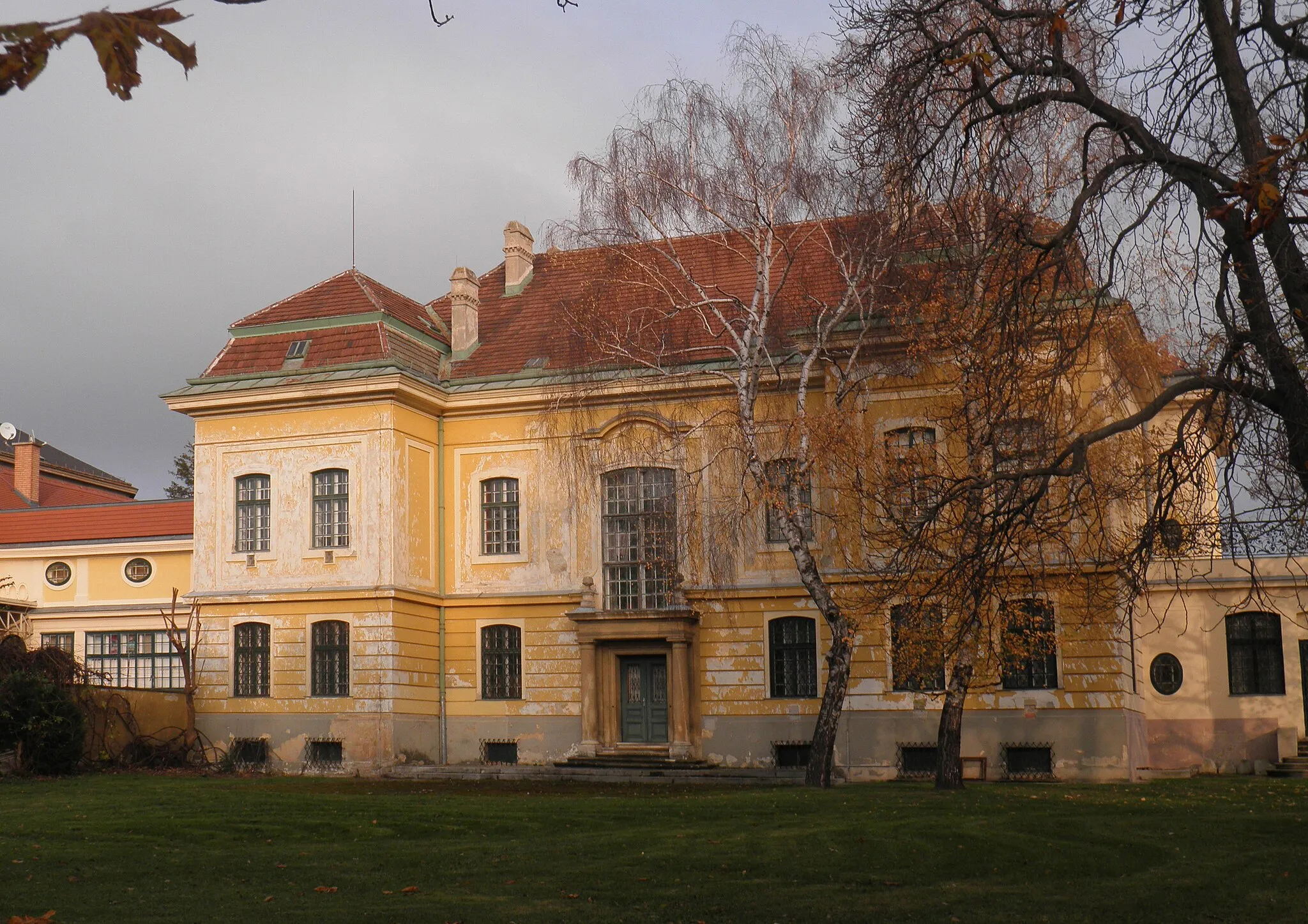
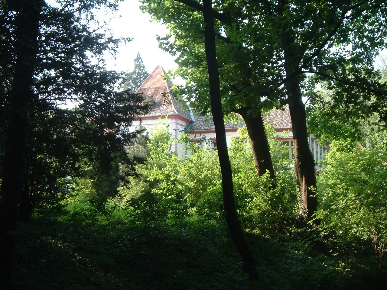
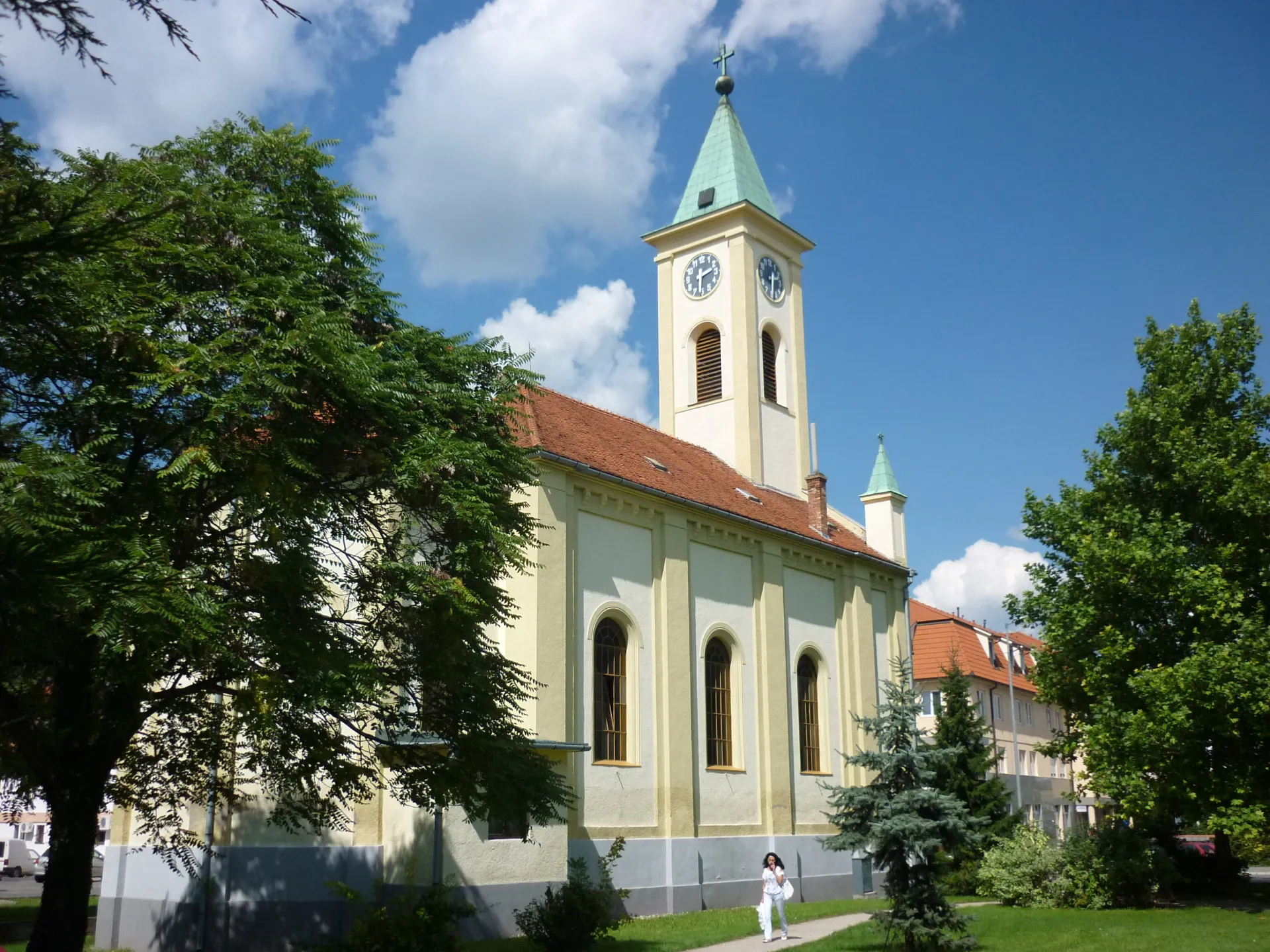
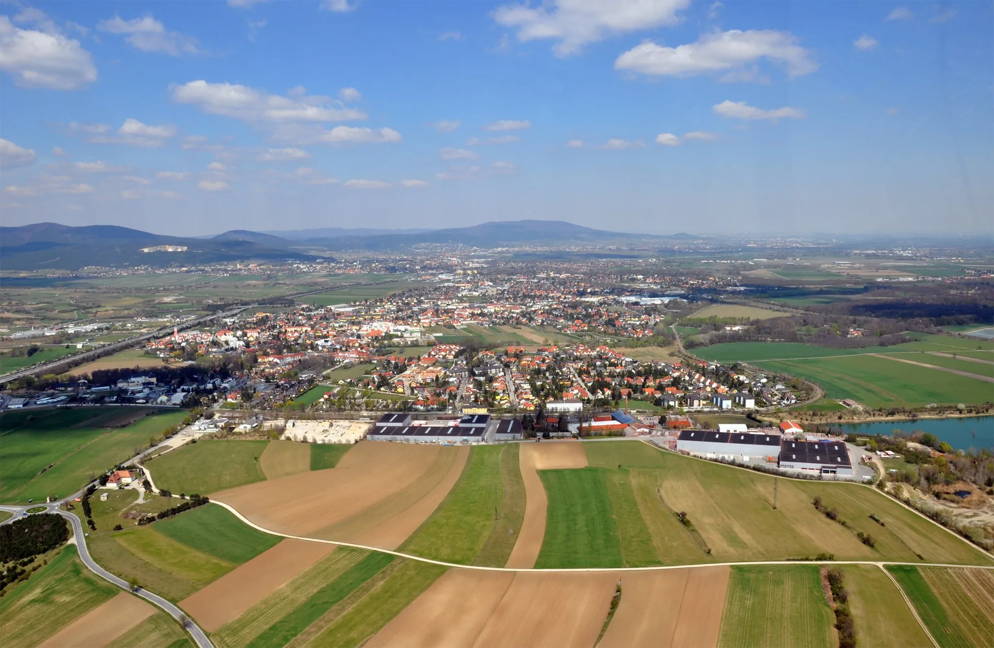
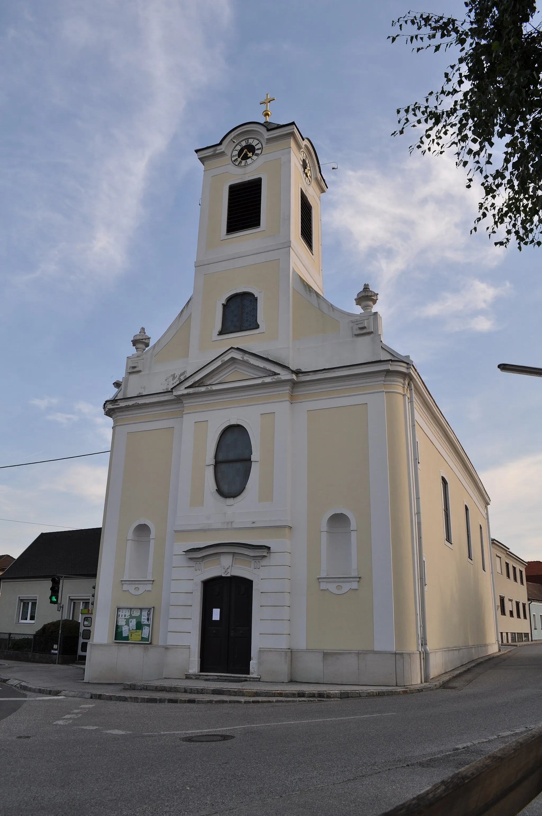
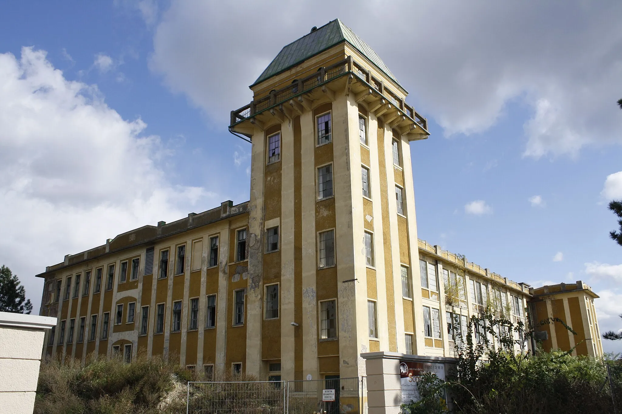
Leobersdorf is a town located in the Niederösterreich region of Austria. From the perspective of a road and gravel cyclist, it offers a variety of routes through picturesque landscapes and rural areas. While there are no prominent cycling-related spots in Leobersdorf, the surrounding Wienerwald region provides plenty of opportunities for challenging climbs and scenic rides. The town itself has a range of amenities for cyclists, including bike-friendly accommodations and cultural attractions. Leobersdorf serves as a convenient base for exploring the cycling potential of Niederösterreich.
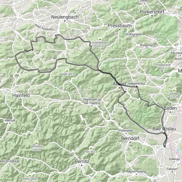
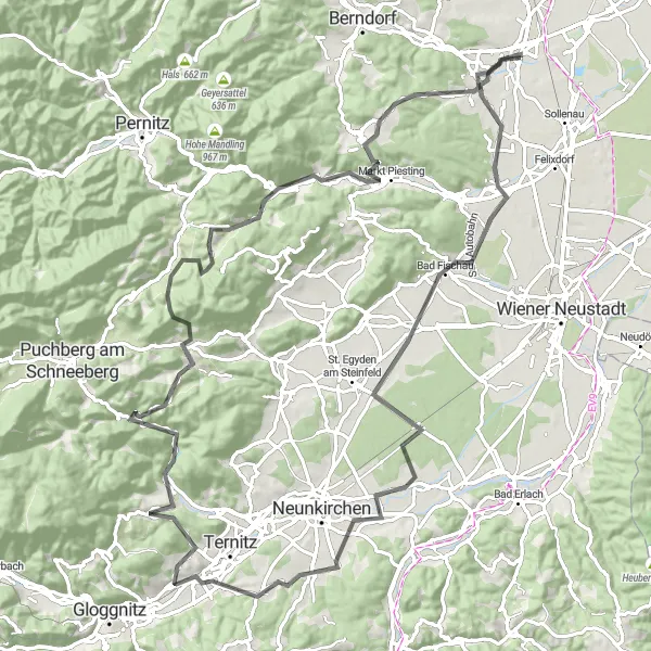
Embark on an adventurous and challenging road cycling journey through the beautiful countryside near Leobersdorf
This challenging road cycling route starting near Leobersdorf covers a distance of 125 km and includes a total ascent of 1861 m. Traverse through diverse landscapes, passing through notable highlights like Sooß, Bergfried, Kleiner Bodenberg, Klausen-Leopoldsdorf, Hochstraßberg, Altlengbach, Stössing, Hegerberg, Hametberg, Mayerling, Großer Marchberg, Helenenhöhe, and Kottingbrunn. Experience the beauty of the surrounding countryside as you climb hills, ride on scenic roads, and explore charming villages along the way. This route is recommended for well-trained amateurs seeking an epic cycling adventure. Value the breathtaking views and immerse yourself in the local culture at the various stops along the way.
Explore the rural charm of the Niederösterreich region on this scenic gravel route
This gravel route takes you through the beautiful countryside from Leobersdorf to Neufeld an der Leitha. The total distance is 68 kilometers with an ascent of 345 meters. It's a moderate gravel route suitable for intermediate cyclists.
A short and scenic gravel loop exploring the countryside around Leobersdorf
This gravel route takes you on a picturesque loop starting and ending in Leobersdorf. The total distance is 27 kilometers with an ascent of 370 meters. It's a moderate gravel route suitable for intermediate cyclists.
A scenic gravel route with a challenging ascent to Leobersdorf
This gravel route takes cyclists on a scenic journey to the town of Leobersdorf. With a moderate difficulty level, the route is suitable for amateur cyclists looking for a challenge. Experience the epicness of the route as you conquer the Henninger climb and enjoy the stunning panoramic views along the way. Discover the charm of Alkersdorf, a small village known for its traditional architecture and peaceful surroundings. Take a break at Grillenberg and soak in the breathtaking views of the surrounding countryside. As you approach the end, conquer the final climb up Guglzipf before reaching the highlight of the route, Leobersdorf itself. Overall, this route offers a memorable cycling experience filled with beautiful landscapes and cultural attractions. Enjoy a mix of rolling hills, charming villages, and scenic viewpoints, making it a great choice for cyclists looking to explore the area.
Embark on an adventurous road cycling journey through beautiful landscapes near Leobersdorf
This road cycling route starting near Leobersdorf covers a distance of 104 km and boasts an ascent of 1794 m, making it a challenging route suitable for well-trained amateurs. Explore highlights along the way, including beautiful landmarks such as Blumberg, Natschbach, Buchbach, Gösing, Miesenbach, Kleine Kanzel, Sulzberg, Markt Piesting, Trümmel, and Lindabrunn. Experience breathtaking views of the surrounding landscapes and ride on scenic roads that wind through picturesque villages and stunning countryside. With its moderate to difficult difficulty level, this route offers an adventurous and rewarding cycling experience.
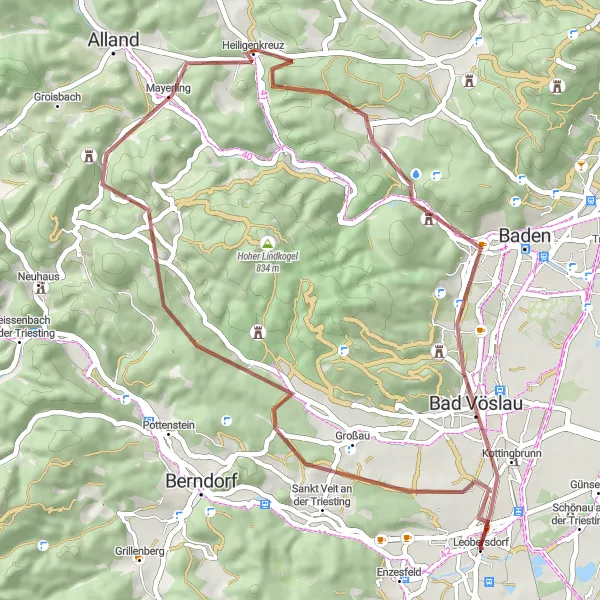
Experience the thrill of off-road cycling through diverse landscapes
This gravel route will take you on an adventure through the Niederösterreich region. Starting in Leobersdorf, you'll pass through Vogelsang and Schloss Merkenstein before reaching the highlight of the route, Bad Vöslau. The total distance is 48 kilometers with an ascent of 742 meters. It's a challenging gravel route suitable for experienced cyclists.
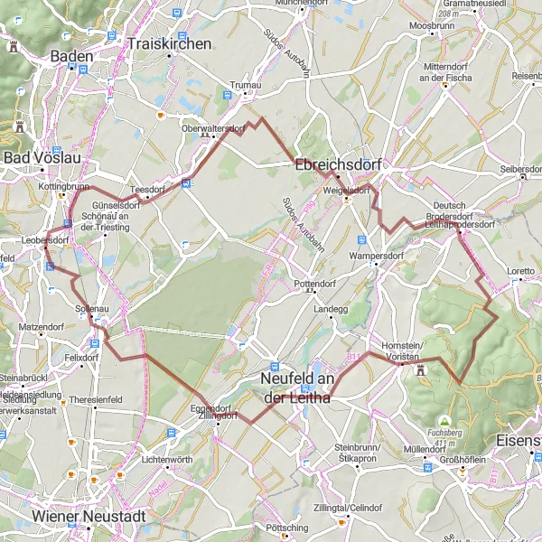
Experience a short but enjoyable cycling route passing through charming villages and scenic landscapes near Leobersdorf
This gravel cycling route starts near Leobersdorf and covers a distance of 48 km, with a relatively low elevation gain of 88 m. The route offers a shorter but enjoyable cycling experience, suitable for amateurs looking for a quick outdoor adventure. Explore highlights like Oberwaltersdorf, Ebreichsdorf, Neurißhof, and Leobersdorf, each offering its own unique charm. Ride through picturesque countryside and pass by vineyards and rolling hills. The difficulty level of this route is relatively easy, making it accessible to cyclists of varying fitness levels.
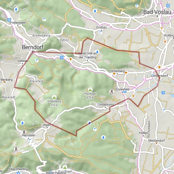
Enjoy the beauty of the Niederösterreich countryside on this challenging road cycling route
This road cycling route offers scenic views and challenging climbs through the Niederösterreich region. Starting in Leobersdorf, you'll pass through Trümmel and Markt Piesting before reaching the highlight of the route, Berndorf. The total distance is 64 kilometers with an ascent of 994 meters. It's a demanding road route suitable for experienced cyclists.
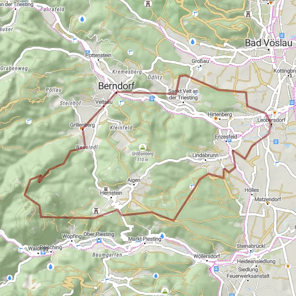
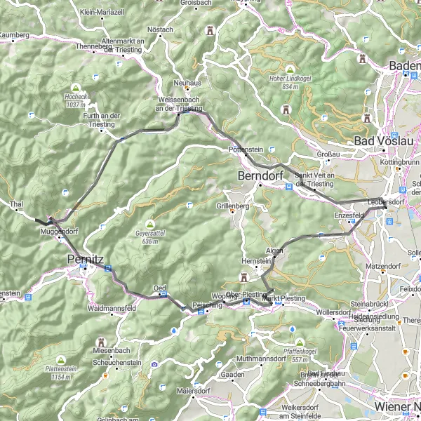
Piesting Valley Loop
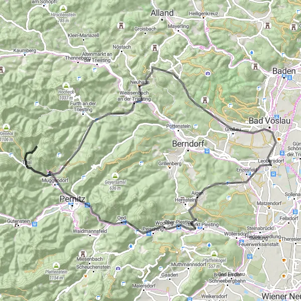
Explore the picturesque Piesting Valley on this road cycling route
The Piesting Valley Loop is a scenic road cycling route that takes you through the beautiful countryside of Lower Austria. Starting near Leobersdorf, this loop offers stunning views of the Piesting River, charming villages, and rolling hills. The route is suitable for well-trained amateurs, as it includes some moderate climbs but is not overly challenging. With an ascent of 1,211 meters and a distance of 79 kilometers, this loop provides a satisfying workout while allowing you to enjoy the surrounding nature. The highlight of the route is Markt Piesting, a small town known for its historic buildings and traditional architecture. Other notable highlights include Sulzberg, Pernitz, Geizenberg, Weissenbach an der Triesting, Weinberg, Merkenstein, and Bad Vöslau. These locations offer opportunities to rest, refuel, and explore interesting attractions along the way. Overall, the Piesting Valley Loop is an enjoyable and scenic cycling route in Lower Austria.
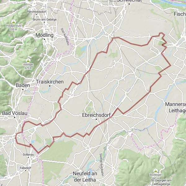
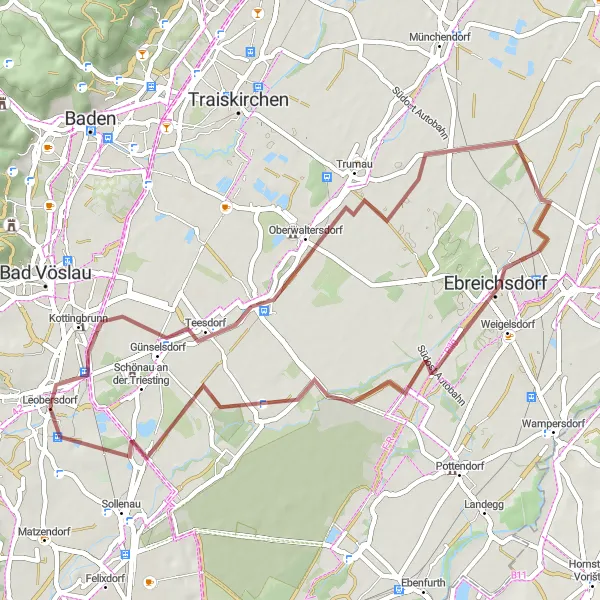
Explore the picturesque landscapes of Leobersdorf and its surrounding areas, passing through charming villages and beautiful natural landmarks
This round-trip cycling route starting near Leobersdorf takes you through the scenic countryside of Niederösterreich. With a total distance of 90 km and an elevation gain of 243 m, this gravel route is suitable for well-trained amateurs. Explore highlights like Oberwaltersdorf, Münchendorf, Andreasberg, Goldberg, Reisenberg, Unterwadersdorf, and Leobersdorf. These charming villages offer picturesque views and unique cultural experiences. The route is moderate in difficulty and provides an enjoyable cycling experience.
Cycling routes nearby:


Nearby regions: