The Danube Explorer
A road cycling route starting from Pottenbrunn
Discover the beauty of the Danube region on two wheels
Map
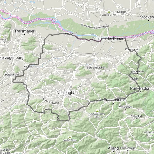
The Danube Explorer is a road cycling route that takes you through the scenic Danube region near Pottenbrunn. With a total distance of 122 kilometers and an ascent of 1127 meters, this route offers a challenging and unforgettable cycling experience. Along the way, you will pass through interesting landmarks and attractions, including Pottenbrunn, Pottschallkogel, Zwentendorf an der Donau, Baumwipfelweg, Mauerbach, Königswinkelberg, Schöffelstein, Eichgraben, Altlengbach, Kasten bei Böheimkirchen, Hummelberg, and Schloss Neutenstein.
road
122 km
1127 m
Tough
Route profile
Highlights on the route
0 km
0 km
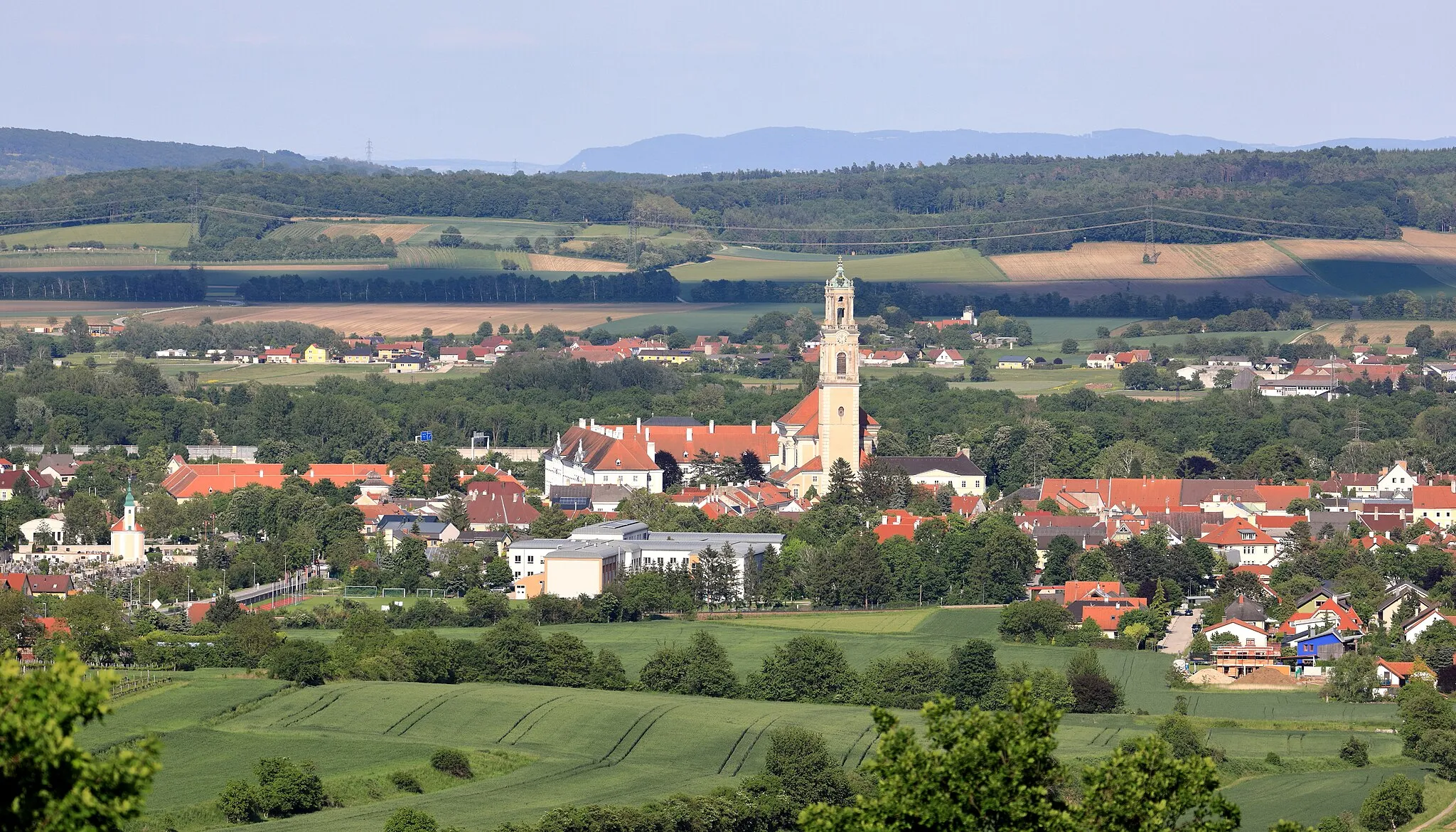
Start: Pottenbrunn Bahnhofsiedlung Village centerPottenbrunn: Serene cycling retreat amidst rolling hills and picturesque villages.
Pottenbrunn, situated in the Niederösterreich region of Austria, is a delightful locality for road and gravel cyclists. The region offers a wide range of cycling paths and routes, catering to cyclists of all abilities. The surroundings are characterized by rolling hills, charming villages, and scenic landscapes, providing a peaceful and picturesque environment for enjoyable rides. While Pottenbrunn may not be well-known for any famous cycling spots or climbs, it offers a serene and cyclist-friendly atmosphere that guarantees a pleasant cycling experience.1 km
1 km
PottenbrunnVillagePottenbrunn is the starting point of the route and is a charming town with a rich history. Take a moment to explore the old streets and admire the historic buildings.
14 km
14 km
Pottschallkogel285 mPeakPottschallkogel is a popular spot for hiking and offers stunning views of the Danube and the surrounding countryside. Take a detour and enjoy the scenic beauty from the summit.
27 km
27 km
Zwentendorf an der DonauVillageZwentendorf an der Donau is a small town located on the banks of the Danube River. Visit the picturesque marina and enjoy a relaxing break by the water.
38 km
38 km
BaumwipfelwegViewpointBaumwipfelweg is a unique treetop path that allows you to walk among the canopy of the Lainzer Forest. Experience nature from a different perspective and immerse yourself in the tranquility.
60 km
60 km
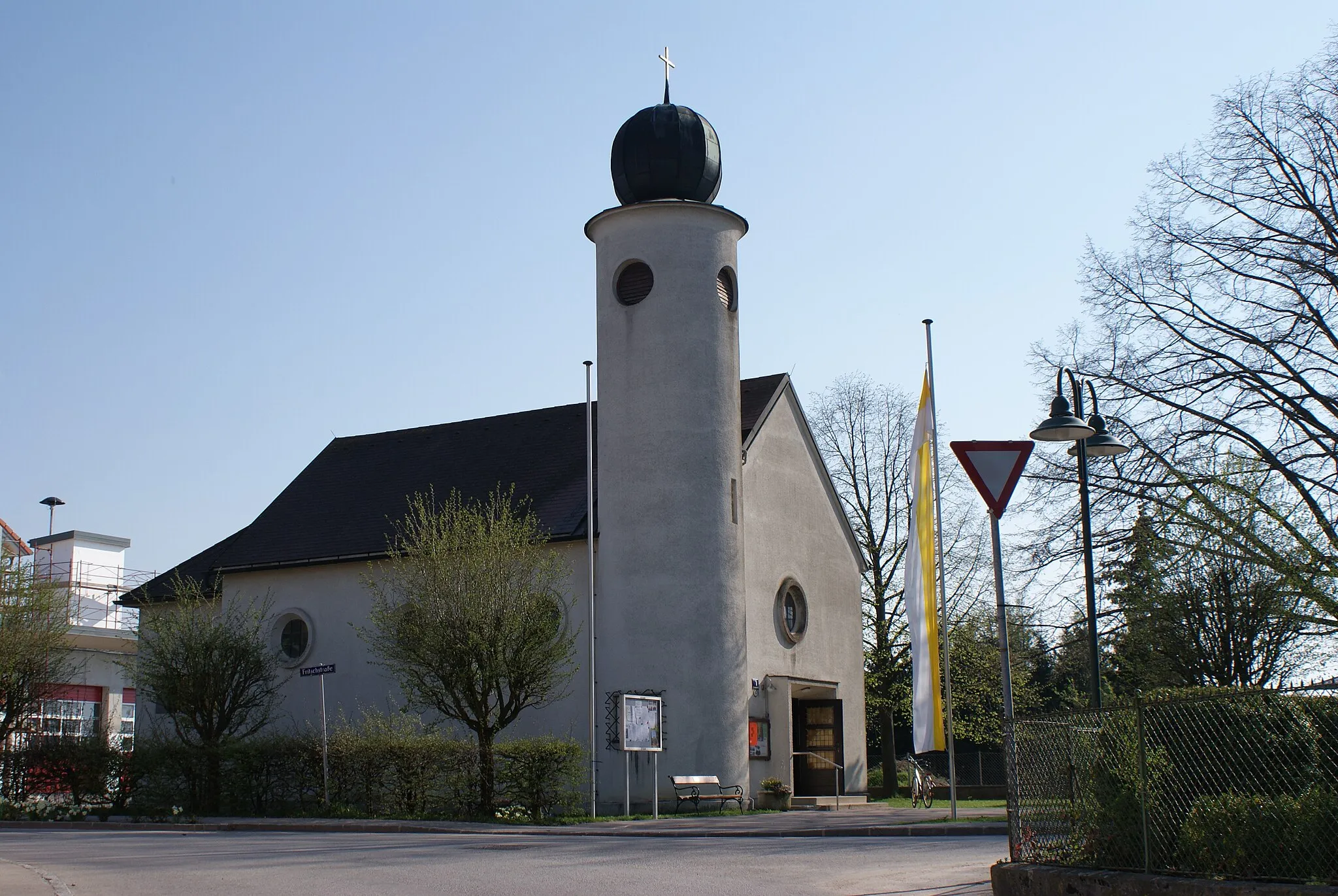
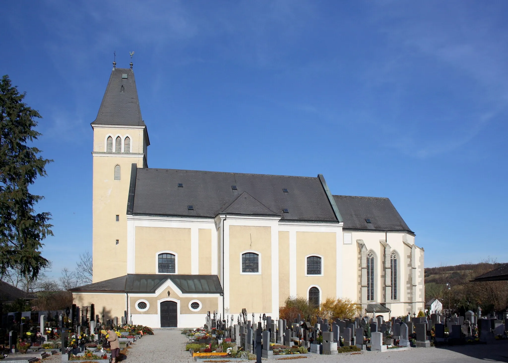
MauerbachVillageMauerbach is a picturesque village known for its beautiful nature and historic buildings. Visit the Mauerbach Charterhouse and enjoy a peaceful break in the countryside.
62 km
62 km
Königswinkelberg388 mPeakKönigswinkelberg is a scenic hilltop in the Vienna Woods. Take a detour and climb to the top for breathtaking views of the surrounding landscape.
69 km
69 km
Schöffelstein425 mPeakSchöffelstein is a mountain in the southern Vienna Woods, offering panoramic views of the Danube Valley. Enjoy the beauty of the nature reserve and take a rest by the observation deck.
84 km
84 km
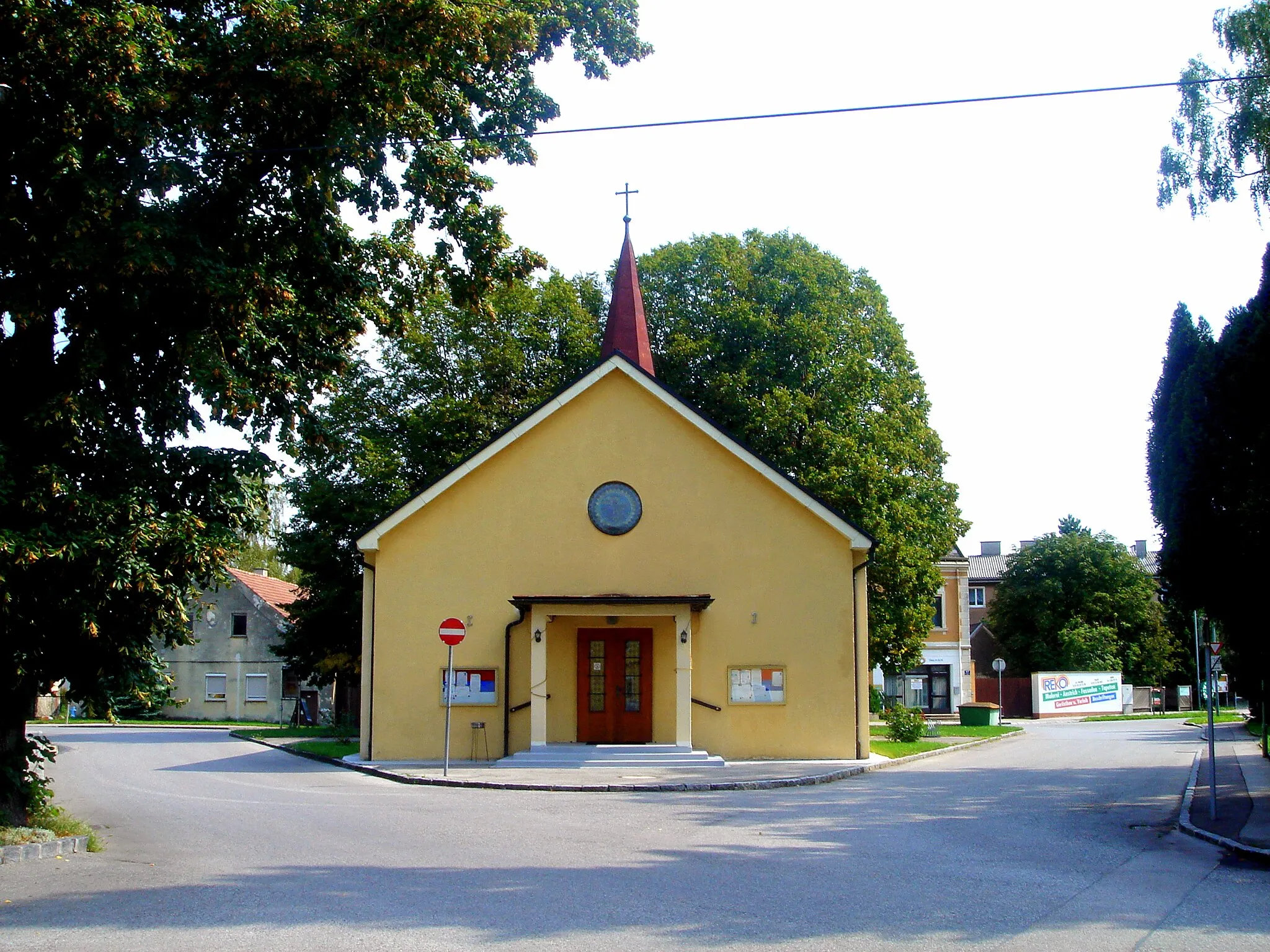
EichgrabenVillageEichgraben is a charming village with historic houses and beautiful natural surroundings. Take a break and relax in one of the local cafes or explore the nearby hiking trails.
91 km
91 km
AltlengbachVillageAltlengbach is a small town known for its thermal baths and wellness facilities. Treat yourself to a relaxing spa break before continuing the cycling journey.
109 km
109 km
Kasten bei BöheimkirchenVillageKasten bei Böheimkirchen is a quaint village with traditional Austrian architecture. Explore the narrow streets, visit the local museum, and enjoy the peaceful atmosphere.
110 km
110 km
Hummelberg383 mPeakHummelberg, already mentioned as a highlight in the previous route, offers stunning panoramic views and is definitely worth another stop along the way.
120 km
120 km
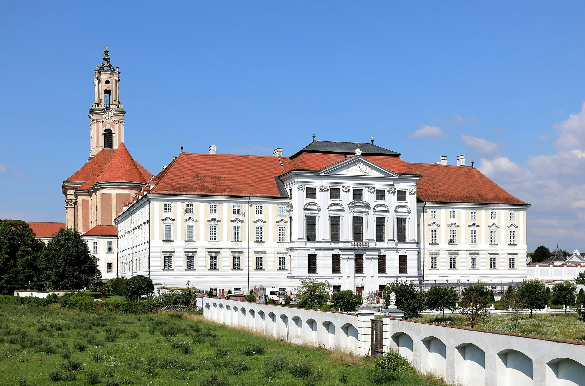
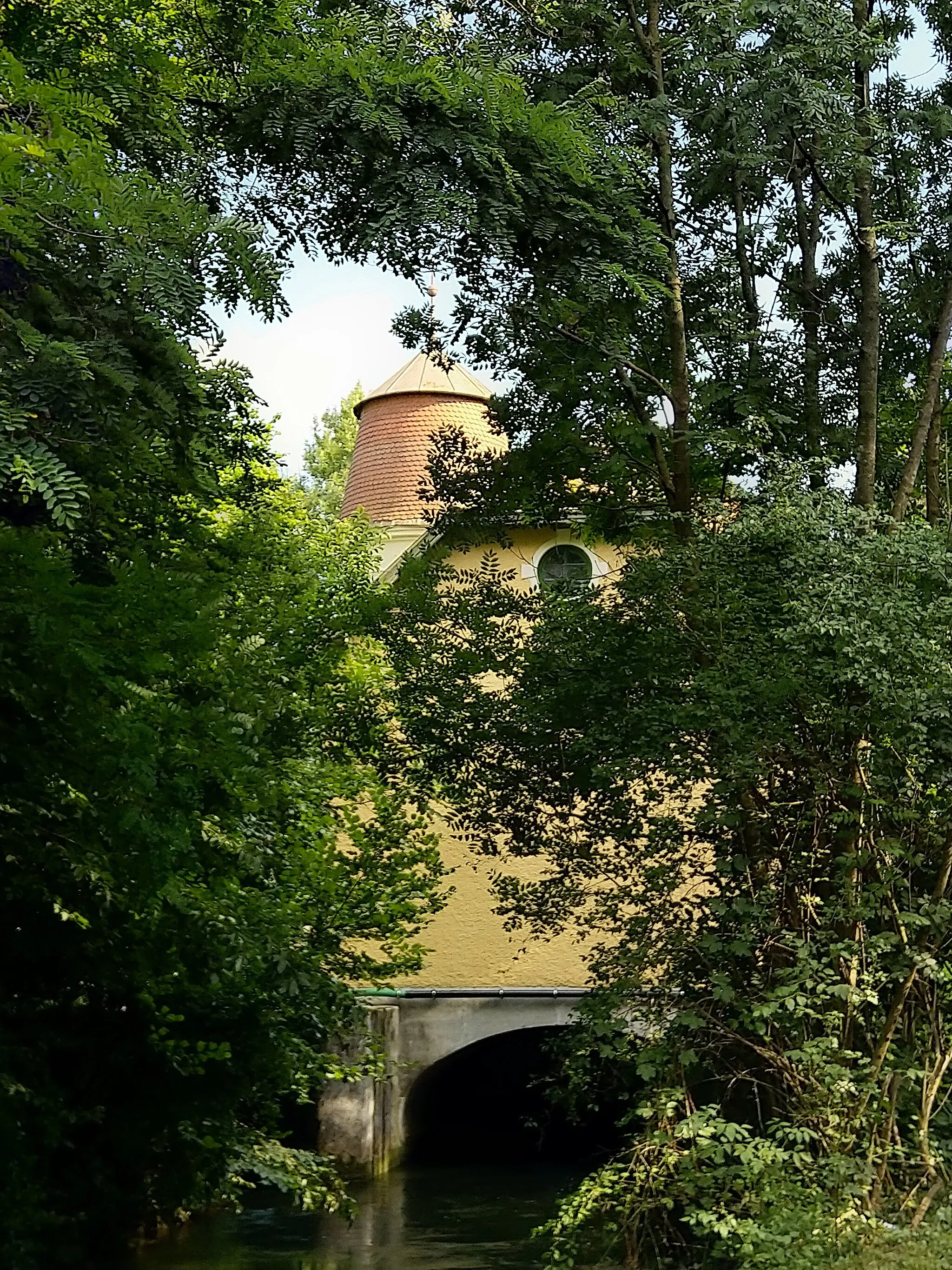
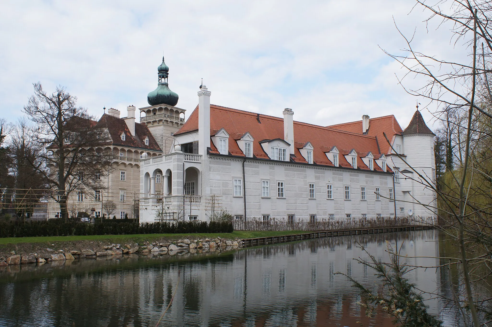
Schloss NeutensteinCastleSchloss Neutenstein is a historic castle located on a hilltop. Take a moment to admire the impressive architecture and enjoy the panoramic views of the Danube Valley.
122 km
122 km
Finish: Pottenbrunn Bahnhofsiedlung Village centerPottenbrunn: Serene cycling retreat amidst rolling hills and picturesque villages.
Cycling routes from Pottenbrunn:
Discovering Small Towns and Beautiful Landscapes Fugging - Kogel - Langenlois - Kogelberg - Zemling - Bromberg - Kirchberg am Wagram - Reidling - Pottschallkogel - Pottenbrunn Road Route Off-Road Adventure Through Rural Landscapes Ultimate Gravel Challenge Pottenbrunn Gravel Adventure Würmla - Schloss Rappoltenkirchen - Bihaberg - Gaaden - Harterberg - Hirtenberg - Weinberg - Altenmarkt an der Triesting - Hendlberg - Kasten bei Böheimkirchen - Hummelberg - Pottenbrunn Road Route Flederhaus - Prinzersdorf - Loosdorf - Riedholz - Weißenstein - Burgruine Gossam - Winkel - Völlerndorf - Klangturm Gravel Route Pottenbrunn Gravel Loop Scenic Vineyards and Charming Villages Pottenbrunn Road Explorer The Gösing Loop The Danube Explorer
Cycling routes nearby: