The Hillside Challenge
A road cycling route starting from Gaumberg
Tackle the Hillside Challenge, a thrilling cycling route merging scenic beauty and demanding uphill stretches near Gaumberg.
Map

For those seeking a challenge, the Hillside Challenge is the perfect cycle route. With a total distance of 98 km and an ascent of 755 m, it will test even the fittest riders. Revel in the stunning vistas of Traun Wilhelm-Anger-Straße, Schreilberg, Luzmannsdorf, Waldneukirchen, Wartberg an der Krems, Aussichtsterrasse, Weißkirchen an der Traun, and Pasching. The Hillside Challenge combines beautiful natural landscapes and demanding uphill stretches, making it a favorite route among experienced cyclists.
road
98 km
755 m
Savage
Route profile
Highlights on the route
0 km
0 km
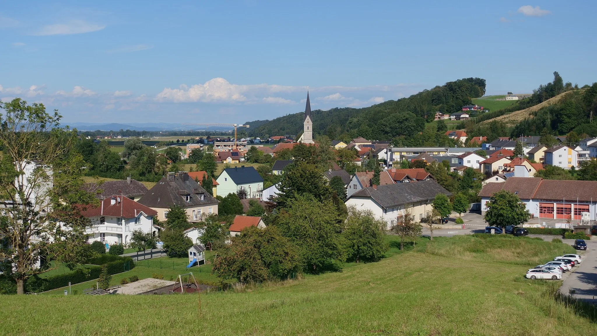
Start: Reith Village centerGaumberg: A mecca of challenging climbs and scenic routes
Gaumberg in Oberösterreich, Austria, is a hidden gem for road and gravel cyclists looking for a unique cycling experience. The locality offers a combination of challenging mountain climbs and scenic routes that wind through picturesque landscapes. Cyclists visiting Gaumberg can take on the famous Koppenpass climb, known for its steep gradients and rewarding views at the summit. Additionally, the region is home to the Enns Cycling Trail, a popular path that follows the beautiful Enns River. With its blend of breathtaking climbs and relaxing routes, Gaumberg is a cyclist-friendly area that caters to all levels of cyclists.6 km
6 km
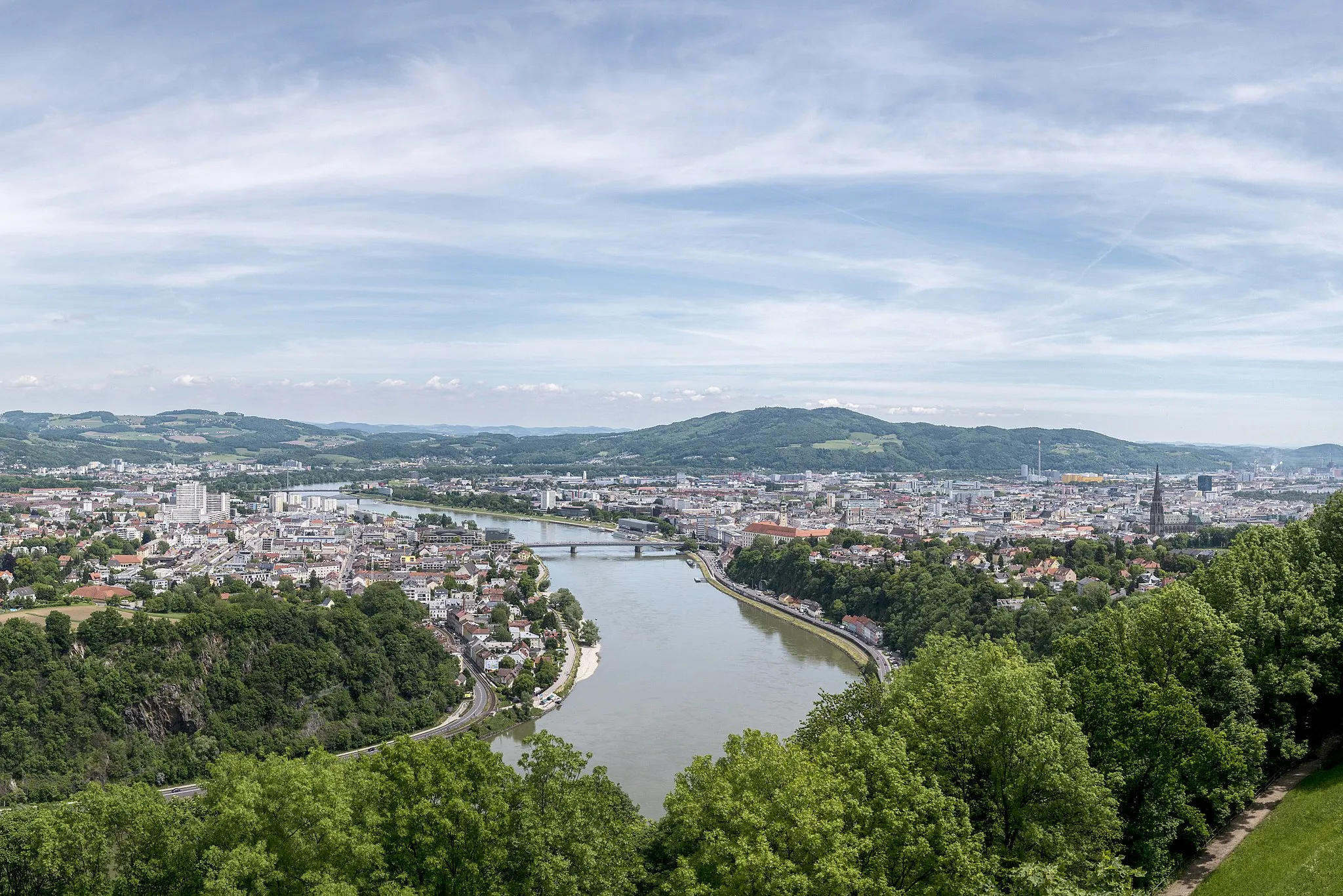
Traun Wilhelm-Anger-StraßeShelterTraun Wilhelm-Anger-Straße is a serene road nestled amidst breathtaking scenic landscapes, showcasing the best of nature's beauty.
13 km
13 km
Schreilberg351 mPeakSchreilberg is a challenging climb with steep sections that rewards riders with astonishing panoramic views across the hilly terrain.
25 km
25 km
LuzmannsdorfHamletLuzmannsdorf is a charming village known for its idyllic setting and traditional wooden houses. Take a moment to soak in its tranquil atmosphere.
40 km
40 km
WaldneukirchenVillageWaldneukirchen is a peaceful town surrounded by lush green forests, offering a serene atmosphere for riders seeking a break from the demanding route.
55 km
55 km
Wartberg an der KremsVillageWartberg an der Krems is a picturesque municipality famed for its well-preserved historic buildings and stunning hilltop views.
64 km
64 km
AussichtsterrasseViewpointAussichtsterrasse provides a breathtaking viewpoint where riders can admire the undulating hills and valleys stretching as far as the eye can see.
77 km
77 km
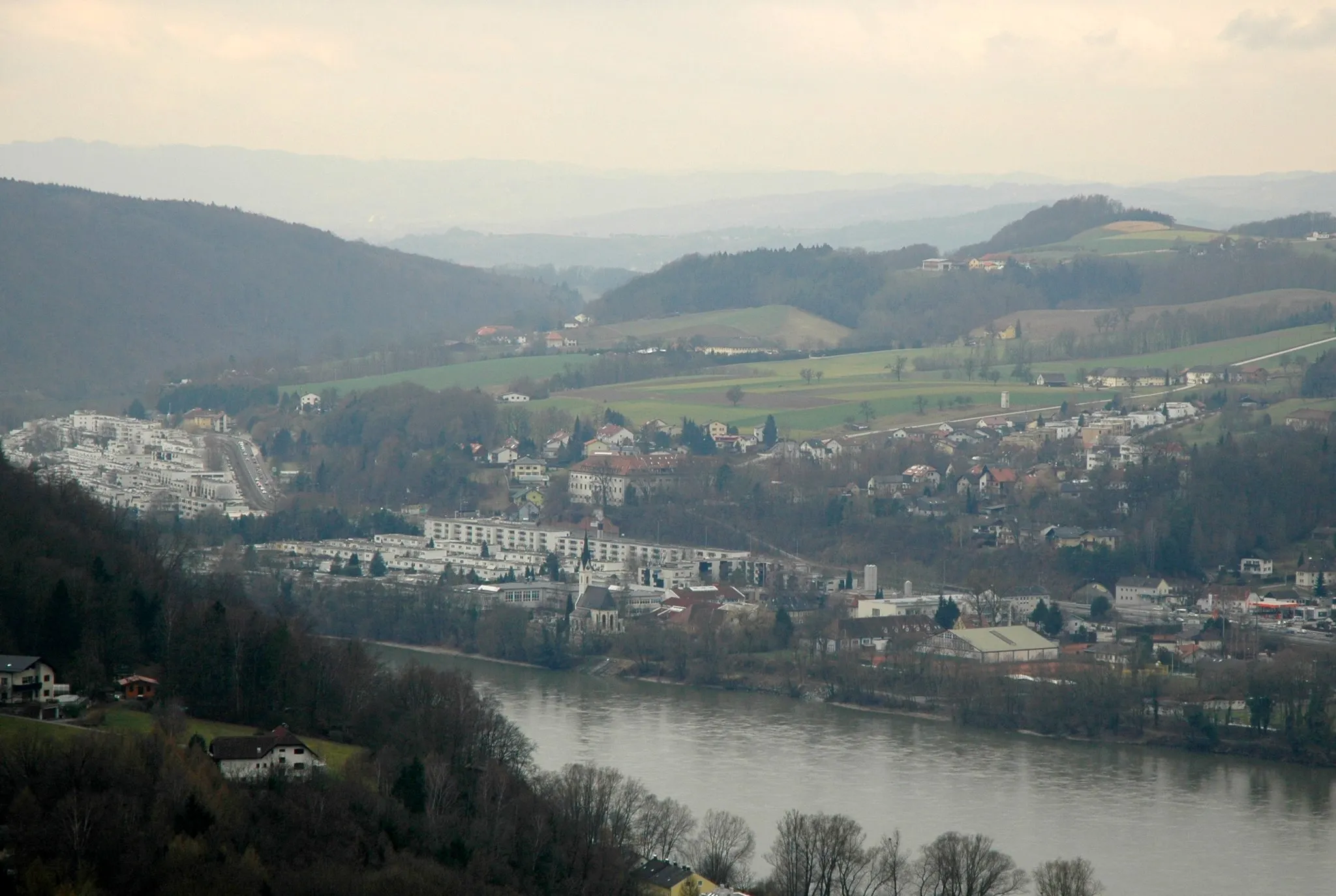
Weißkirchen an der TraunVillageWeißkirchen an der Traun is a captivating village known for its charming architecture and remarkable views of the surrounding countryside and the Traun River.
94 km
94 km
PaschingVillagePasching is a peaceful village nestled in the heart of beautiful landscapes, offering a perfect place to rest and recharge during the challenging ride.
98 km
98 km
Finish: Reith Village centerGaumberg: A mecca of challenging climbs and scenic routes
Cycling routes from Gaumberg:
Cycling routes nearby: