Mühlkreis Magic
A road cycling route starting from Haid
Explore the enchanting Mühlkreis region on this road cycling route near Haid.
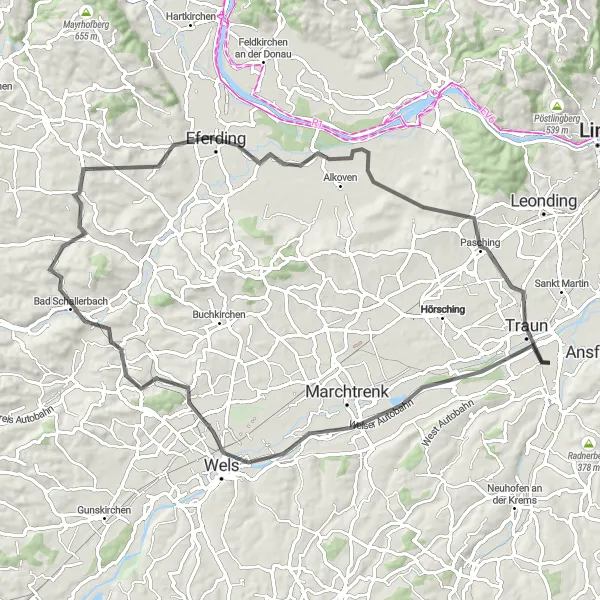
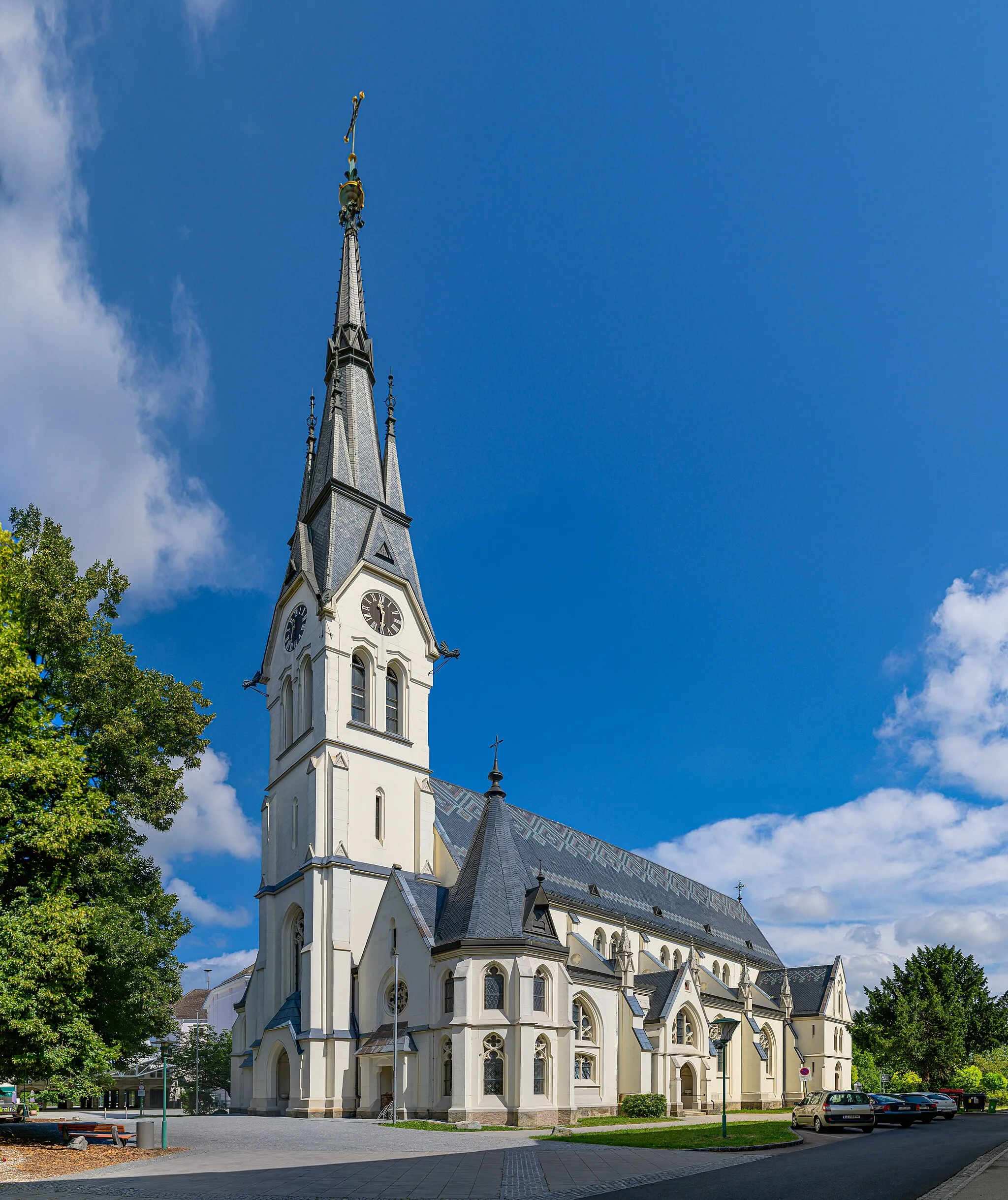
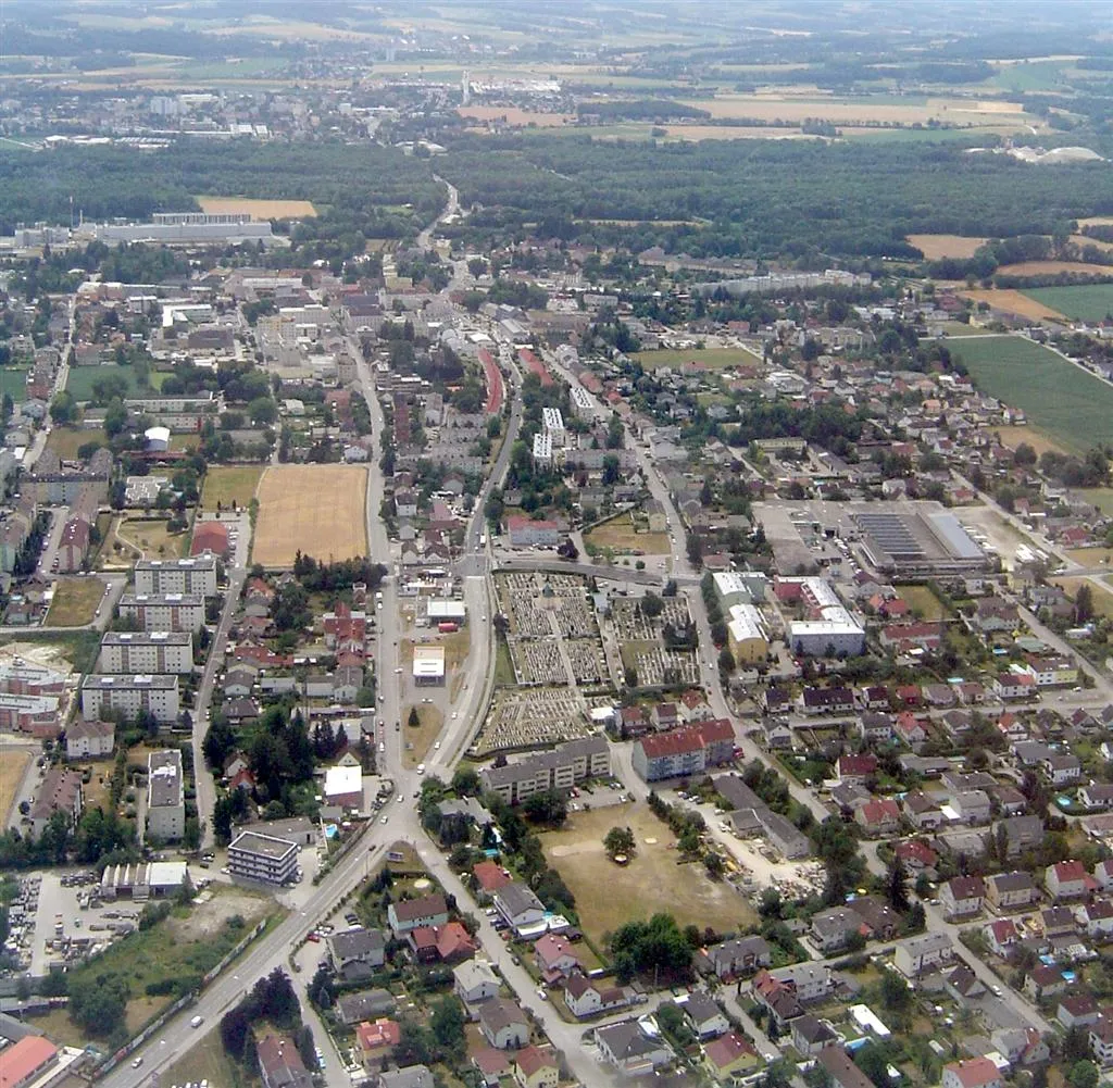
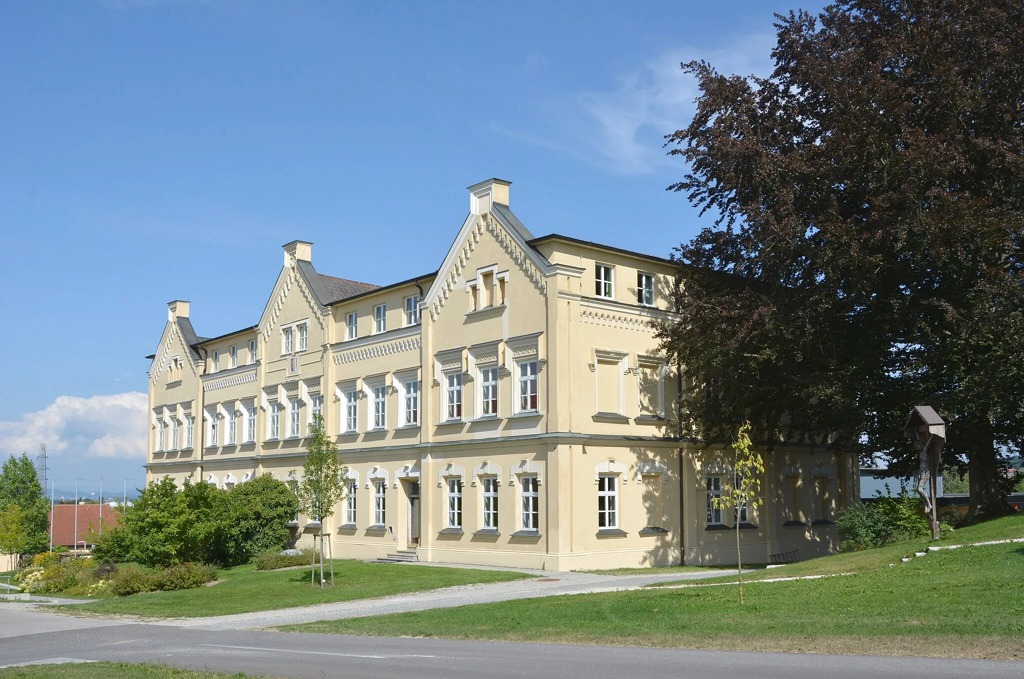
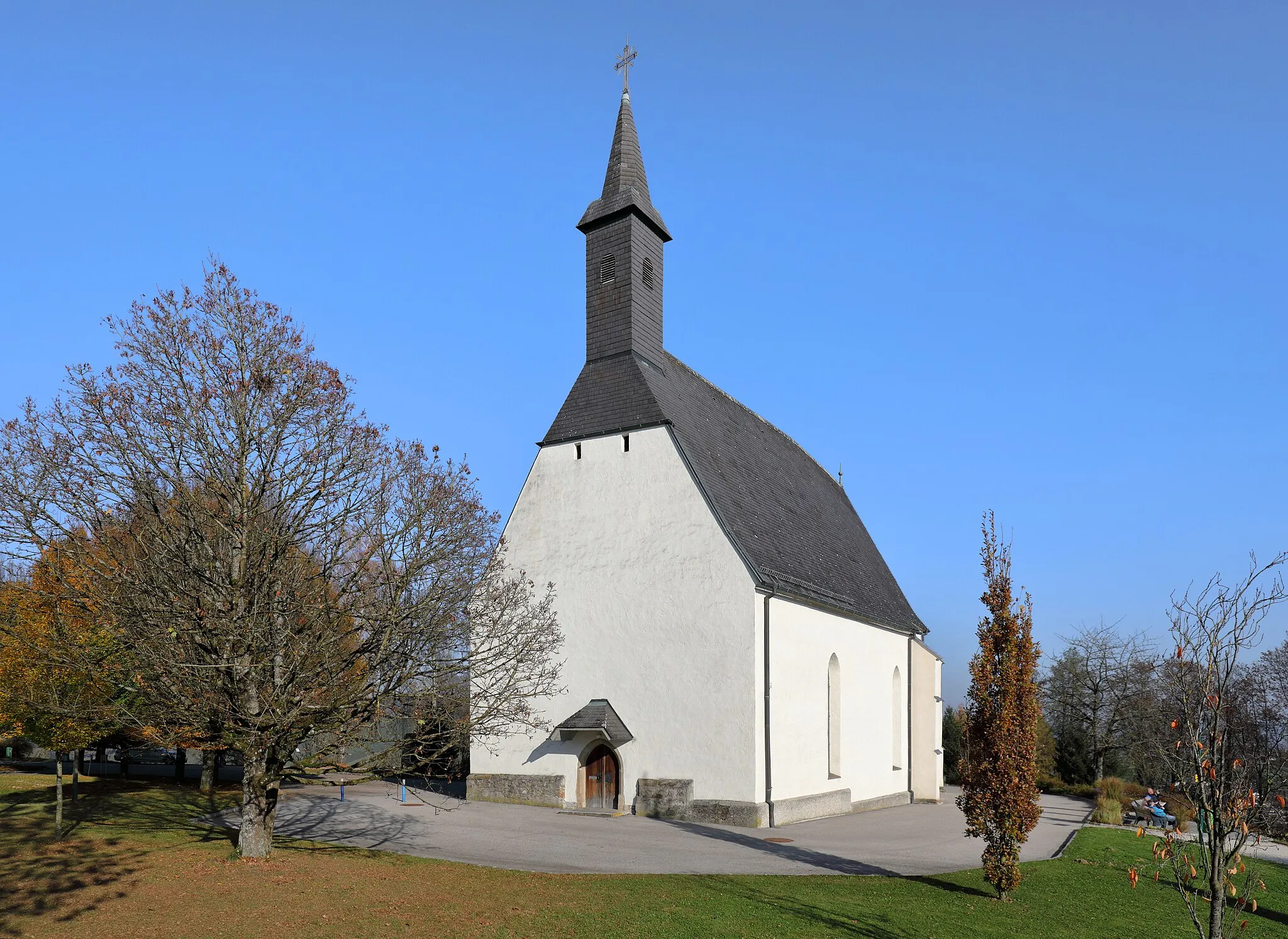
The Mühlkreis Magic is a challenging road cycling route near Haid, Oberösterreich. It spans a distance of 78 km and includes a total ascent of 607 m. This route takes you through the picturesque Mühlkreis region, known for its rolling hills, lush vineyards, and medieval towns. The highlight points along the route include Schleißheim (16 km), Krenglbach (29 km), Magdalenaberg (34 km), Kirnberg (46 km), Eferding (51 km), and Traun (76 km). These highlights showcase the beauty and history of the Mühlkreis region. The difficulty of this route is rated as 2, suitable for well-trained amateur cyclists. It features moderate climbs and descents, providing a challenging yet enjoyable ride. The epicness is rated as 2, as it offers scenic landscapes and interesting attractions but does not include any legendary climbs or famous cycling spots. Highlights along the route are scored based on their attractiveness and historical significance. Schleißheim, Krenglbach, and Magdalenaberg receive a score of 3 for their beautiful landscapes and charming architecture. Kirnberg, Eferding, and Traun receive a score of 2 for their historical charm and cycling-friendly amenities.
Highlights on the route
Cycling routes nearby: