Picturesque Road Bike Tour to Schloss Losensteinleiten
A road cycling route starting from Langholzfeld
Embark on a picturesque road bike tour to Schloss Losensteinleiten
Map

This picturesque road bike tour takes you to the enchanting Schloss Losensteinleiten, offering captivating views and a touch of history. With a manageable ascent of 419 meters and a distance of 68 kilometers, this route is ideal for cyclists seeking a scenic adventure.
road
68 km
419 m
Chill
Route profile
Highlights on the route
0 km
0 km
Start: Langholzfeld Village centerLangholzfeld: Immerse yourself in the dramatic alpine landscape of Langholzfeld.
Langholzfeld, located in Oberösterreich, Austria, offers an excellent cycling experience for both road and gravel cyclists. The locality is surrounded by breathtaking alpine scenery, with well-paved roads perfect for exploring the region's stunning landscapes. Cyclists can also enjoy challenging climbs and thrilling descents in the nearby mountain ranges. Langholzfeld is a popular destination among cycling enthusiasts and hosts various cycling events throughout the year. This cyclist-friendly locality is a must-visit for those seeking exhilarating rides and magnificent views.11 km
11 km
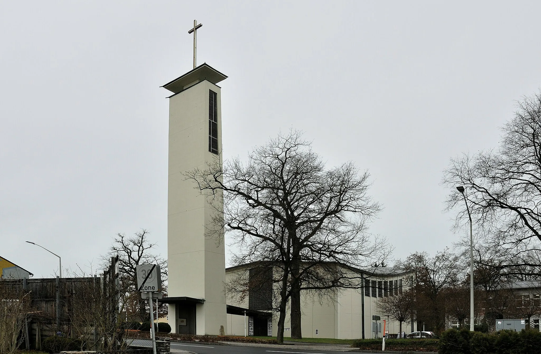
Solar-CitySub-urbMarvel at the innovative Solar-City, a sustainable energy project that showcases cutting-edge technologies and environmentally-friendly design.
19 km
19 km
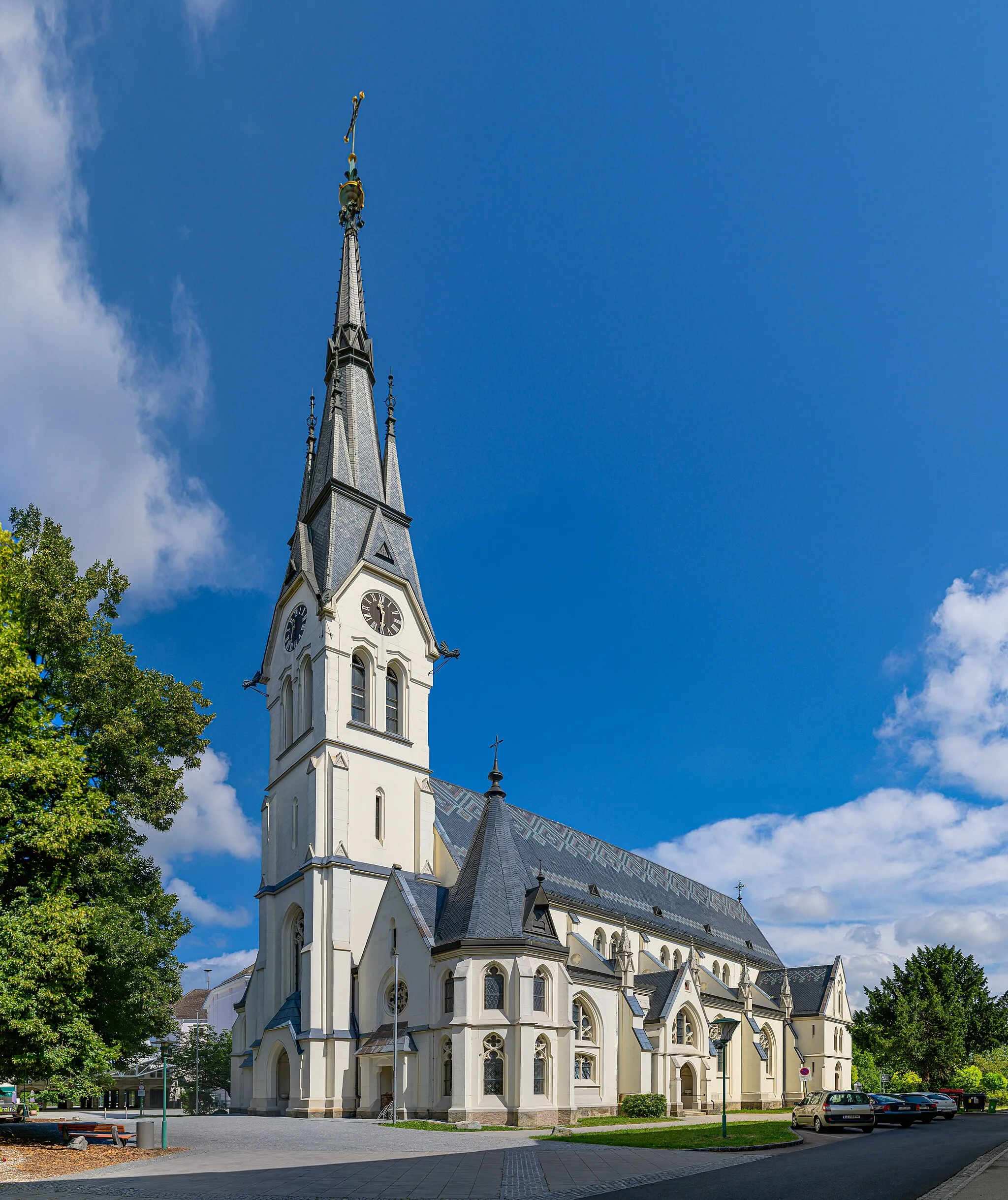
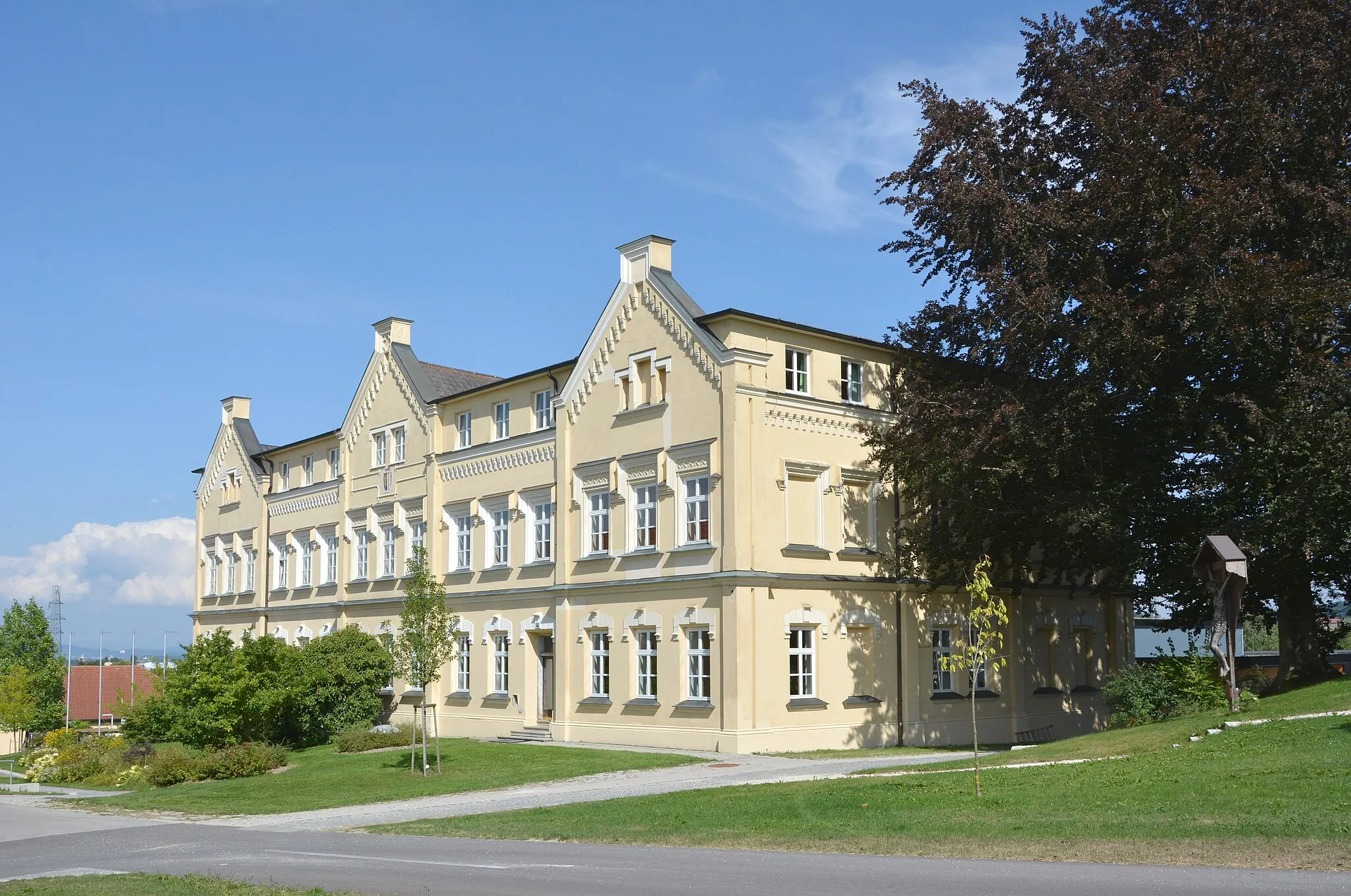
Schloss TyllisburgCastleSchloss Tyllisburg captivates with its grandeur and hosts various cultural events throughout the year.
32 km
32 km
KronstorfVillageIn Kronstorf, enjoy the peaceful rural charm embedded in its idyllic landscapes.
40 km
40 km
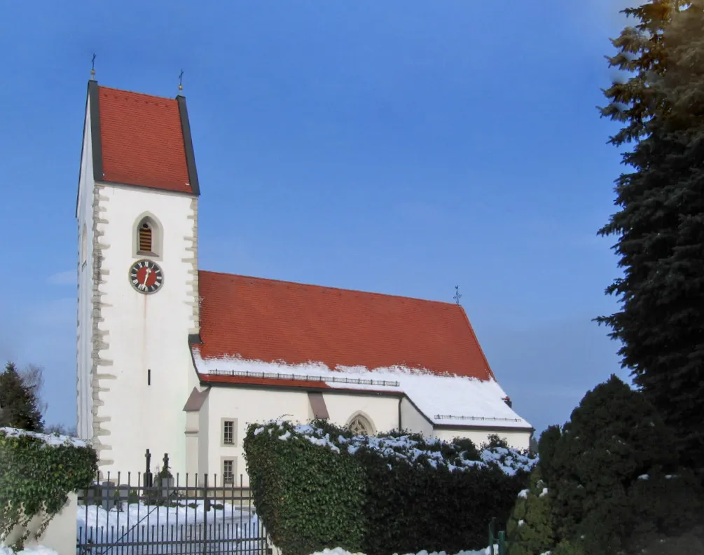
DietachVillageBe sure to stop by Dietach and admire its charming village center with colorful houses and traditional architecture.
46 km
46 km
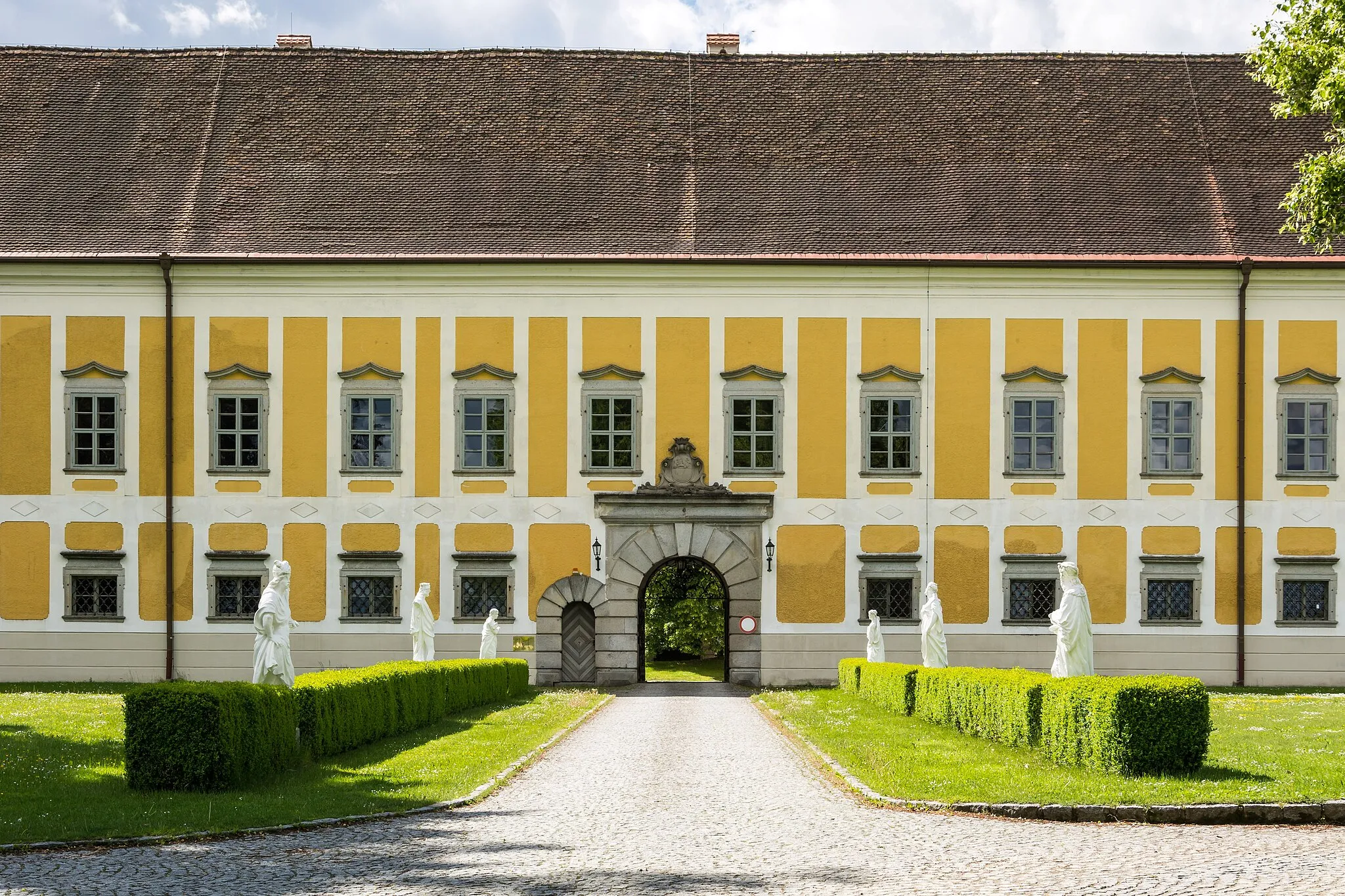
Schloss LosensteinleitenCastleSchloss Losensteinleiten, a majestic castle surrounded by lush greenery, offers a glimpse into the region's medieval history.
58 km
58 km
Schreilberg351 mPeakTake in breathtaking views from the top of Schreilberg, a popular vantage point known for its panoramic vistas.
67 km
67 km
Traun Am Nordsaum/SportzentrumShelterTraun Am Nordsaum/Sportzentrum serves as a hub for sports enthusiasts and offers modern recreational facilities.
68 km
68 km
Finish: Langholzfeld Village centerLangholzfeld: Immerse yourself in the dramatic alpine landscape of Langholzfeld.
Cycling routes from Langholzfeld:
Ansfelden to Traun Round-Trip Pucking to Pasching Gravel Ride Steyregg to Stadtturm Round-Trip Pucking to Pasching Round-Trip The Gravel Adventure Loop Rural Gravel Trail to St. Marienkirchen Picturesque Road Bike Tour to Schloss Losensteinleiten Challenging Road Ride with Cultural Highlights Hörsching to Pasching Round-Trip Scenic Gravel Ride Towards Grieskirchen Hörsching - Oberprisching - Kirnberg - St. Agatha - Weinberg - Auberg - Hansberg - Sankt Veit im Mühlkreis - Koglerauer Spitz - Pöstlingberg - Leonding
Cycling routes nearby: