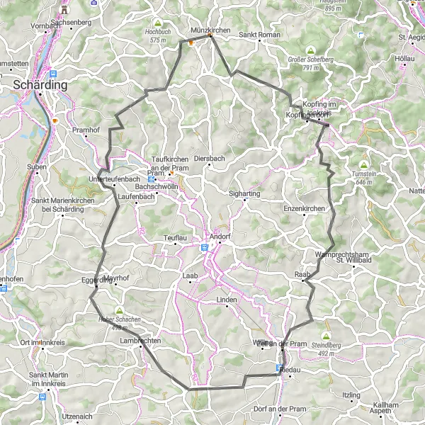
Cycling through the scenic countryside and conquering the climb of Platte in Münzkirchen
Cycling routes from Muenzkirchen
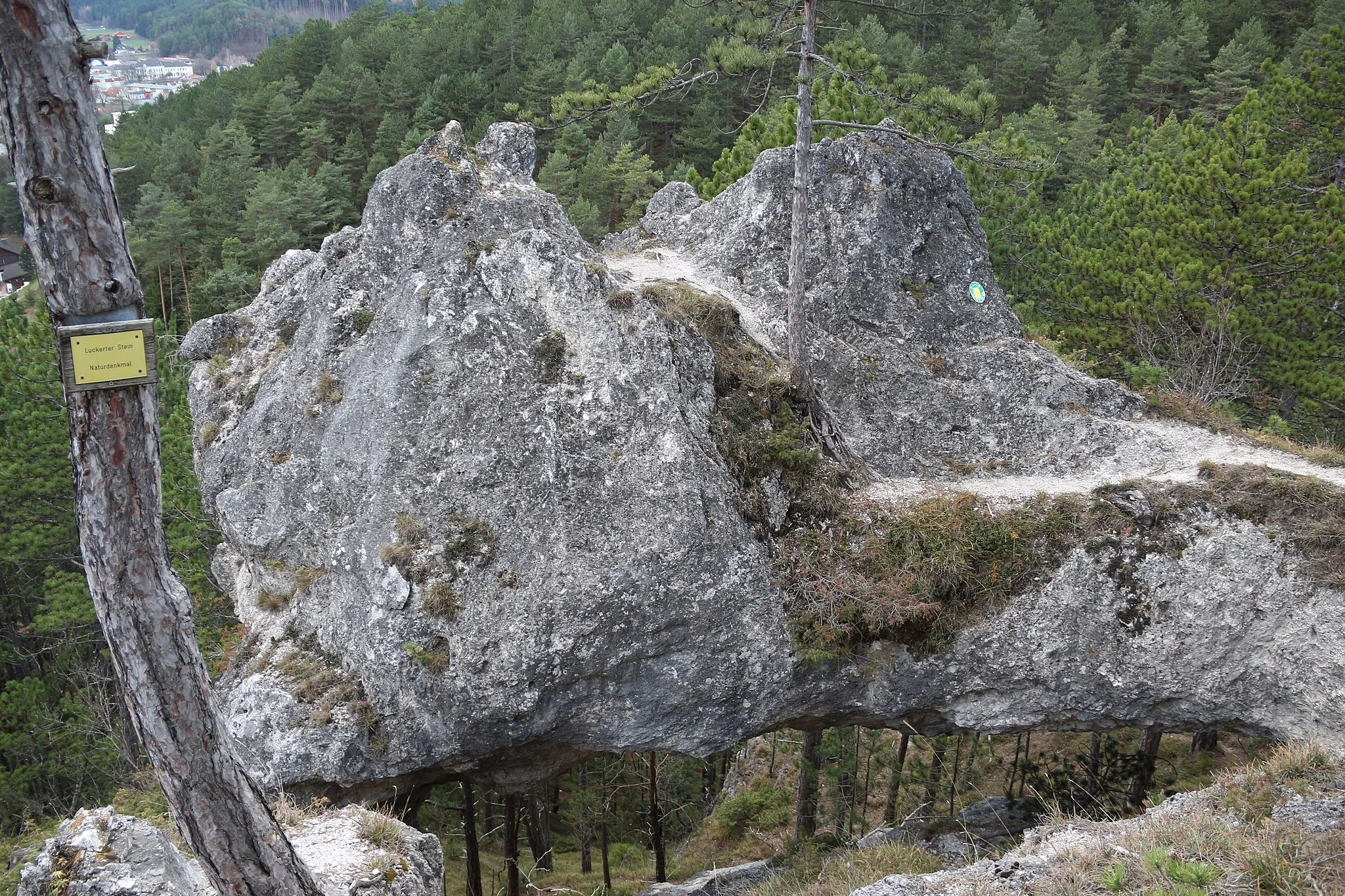
Münzkirchen is a charming locality in Oberösterreich, Austria. The area offers a mix of flat and hilly terrain, providing various cycling options for both road and gravel cyclists. You can explore the picturesque countryside, ride through vineyards, and discover quaint villages along the way. Münzkirchen is located near the popular Hausruck-Mühlviertel-Radweg, a well-known cycling route that takes you through beautiful landscapes and historic sites. Nearby, you can also find the famous climb of Platte, which offers stunning panoramic views as a reward for your efforts.
Explore the beauty of Taufkirchen am Inn and its surroundings on this scenic cycling route.
Embark on a scenic journey through the beautiful landscapes surrounding Taufkirchen am Inn. This 89 km route offers a total elevation gain of 766 m, making it suitable for intermediate-level cyclists. Enjoy the picturesque views of Lambrechten, explore the charming village of Eitzing, and visit the historical landmarks of Sankt Georgen bei Obernberg am Inn. The route also includes Köpfstätte, a traditional village known for its cultural events and hospitality. Don't miss the opportunity to stop by Neuhaus am Inn, a town with unique architectural beauty and a peaceful atmosphere. With its moderate difficulty level and diverse highlights, this route is perfect for cyclists seeking a relaxing and enjoyable ride.
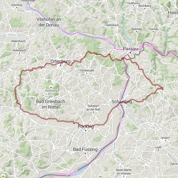
Experience the rugged beauty of the region as you embark on this gravel cycling adventure.
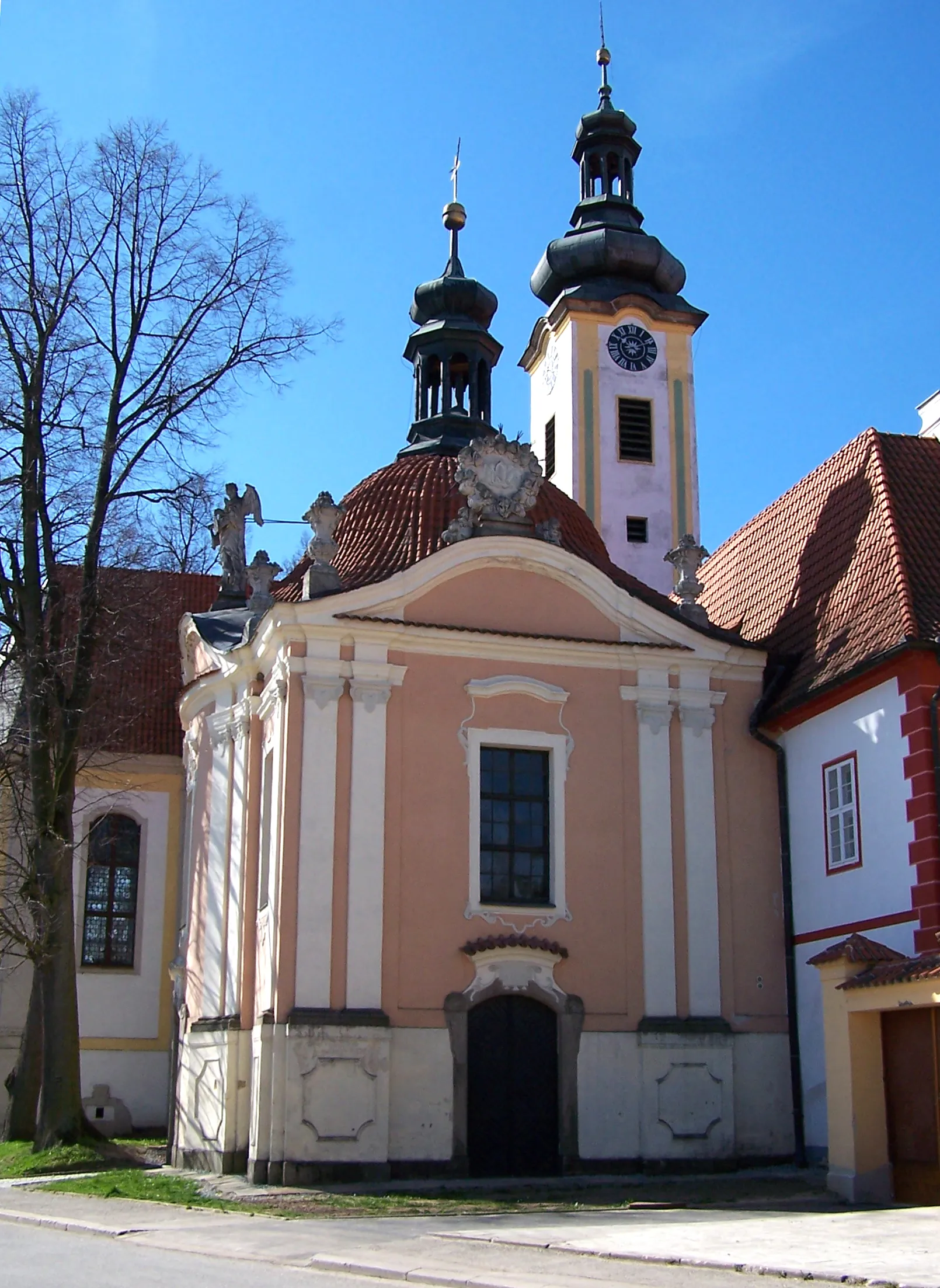
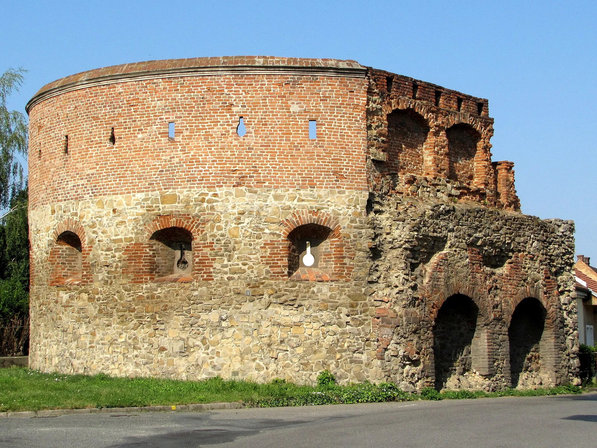
Get ready to explore the picturesque landscapes and charming towns of Oberösterreich as you cycle through this thrilling gravel route. With a total ascent of 1,619 meters and a distance of 109 kilometers, it offers a challenging but rewarding experience. Witness the stunning views from the Schöne Aussicht viewpoint and immerse yourself in the rich history of Schärding. The route also takes you through Bad Birnbach, known for its thermal baths, perfect for relaxation after an intense cycling session. Ortenburg Castle and Fronberg Tower are architectural highlights along the way, providing a glimpse into the region's past. Get ready for an adrenaline-filled adventure that will leave you craving for more.
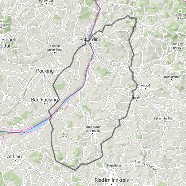
Schärding to Kneiding Road Loop
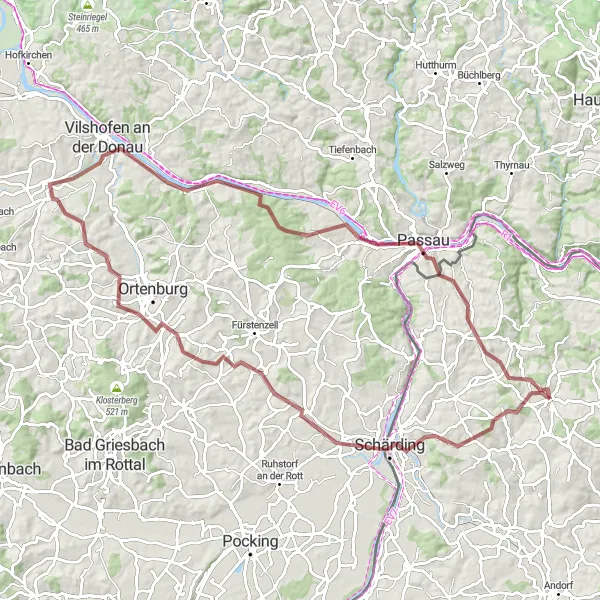
Discover the picturesque towns along the route and marvel at the stunning views of the Eging am See lake.
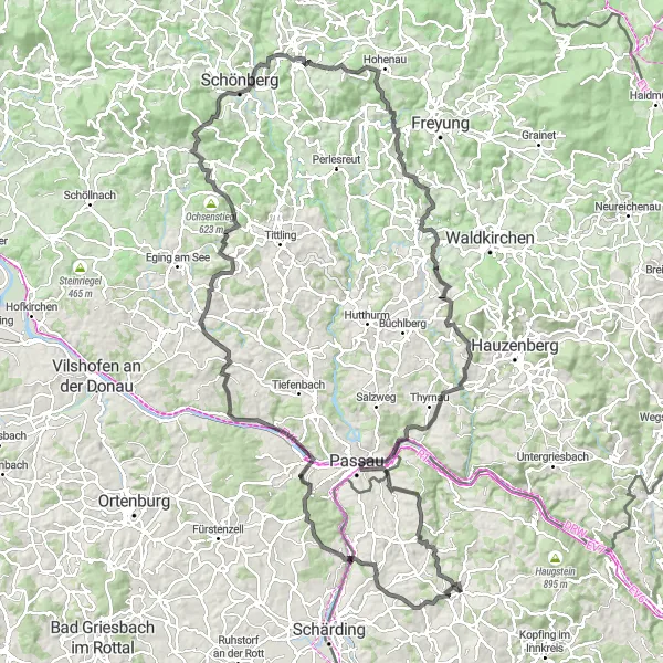
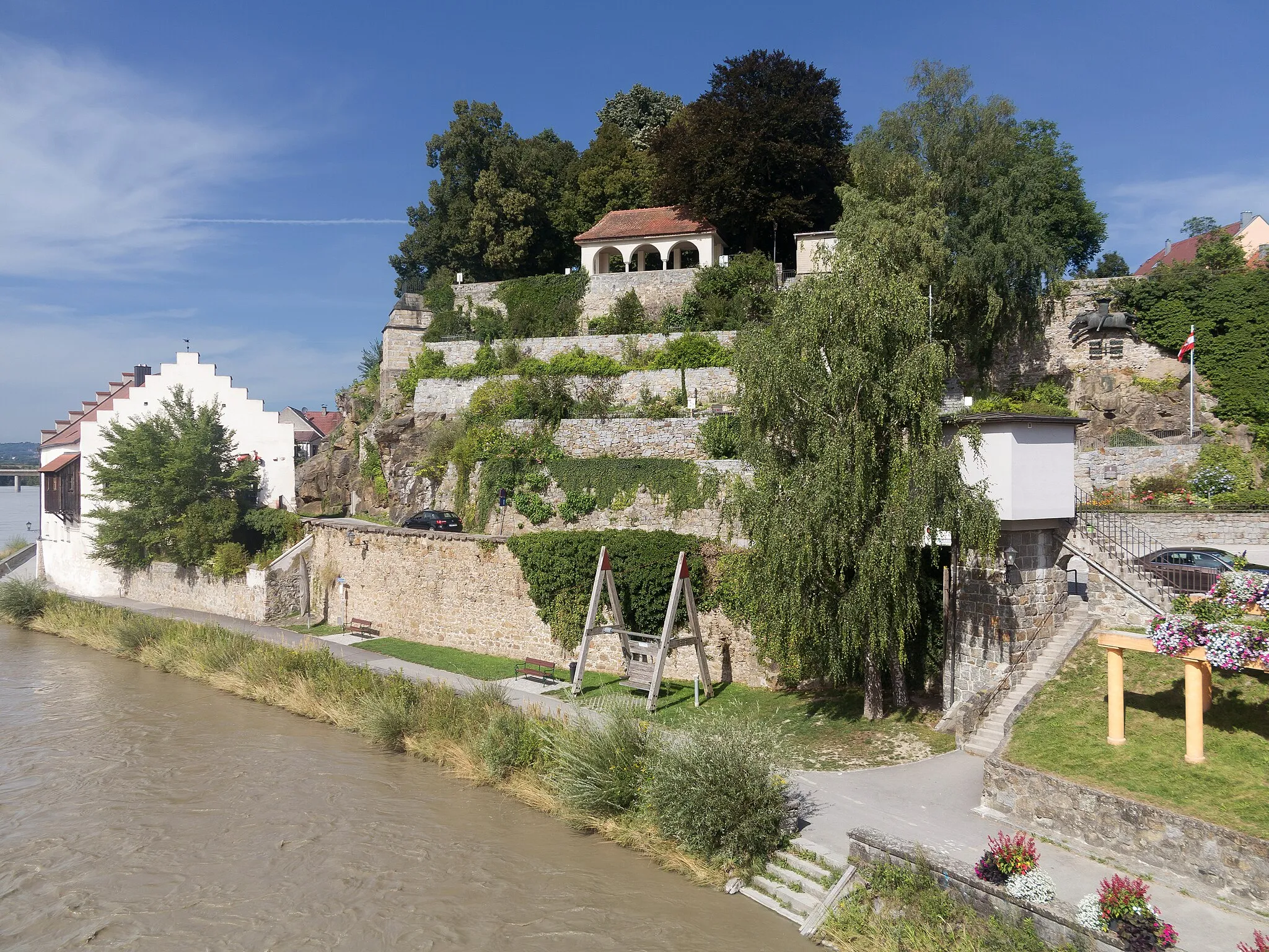
Embark on a 120km road cycling journey from Schärding to Kneiding, passing through enchanting towns like Engertsham and Vilshofen an der Donau. Enjoy panoramic views of the beautiful Eging am See lake, and challenge yourself with 1,784m of ascent. This route is suitable for well-trained amateurs with a difficulty rating of 4 and an epicness rating of 3.
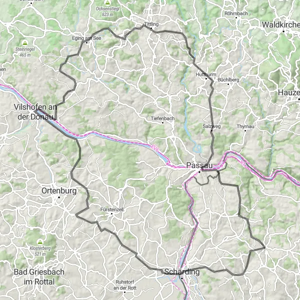
Escape the crowds as you cycle through scenic gravel paths and fascinating landmarks.
Embark on a challenging 93km gravel cycling adventure from Bad Höhenstadt to Hochbuch. Traverse through the peaceful Oberiglbach village and marvel at the Piske Tower's stunning viewpoints. Discover the historic town of Passau and pedal through picturesque landscapes. With 1,100m of ascent, this route is suitable for experienced amateurs with a difficulty rating of 4 and an epicness rating of 4.
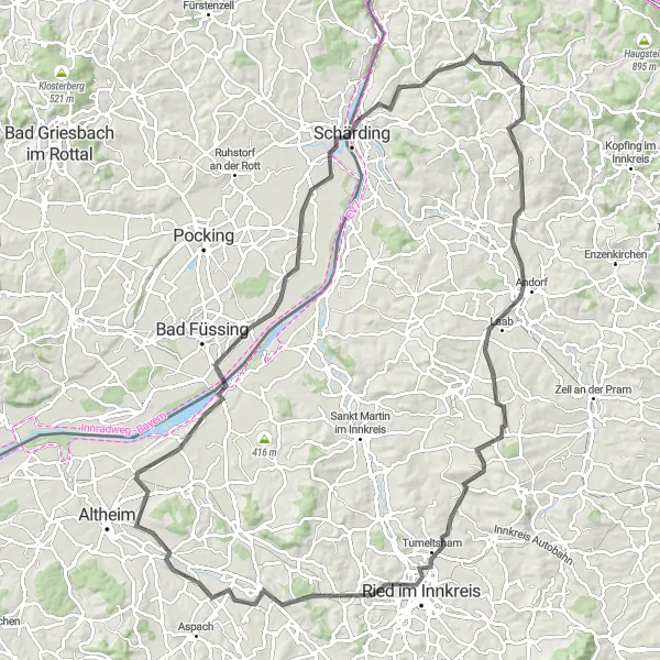
Cycle through picturesque towns and beautiful landscapes in the Innkreis region.
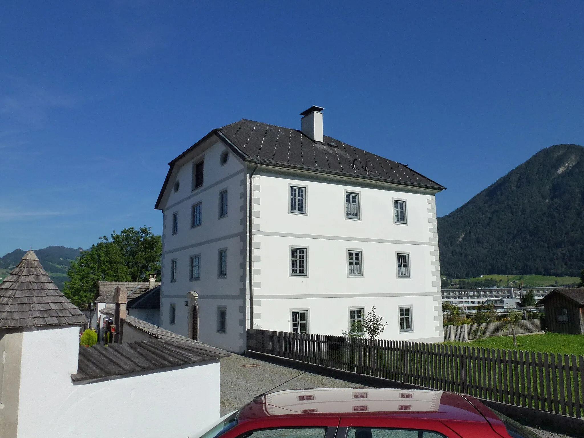
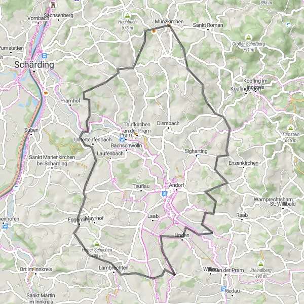
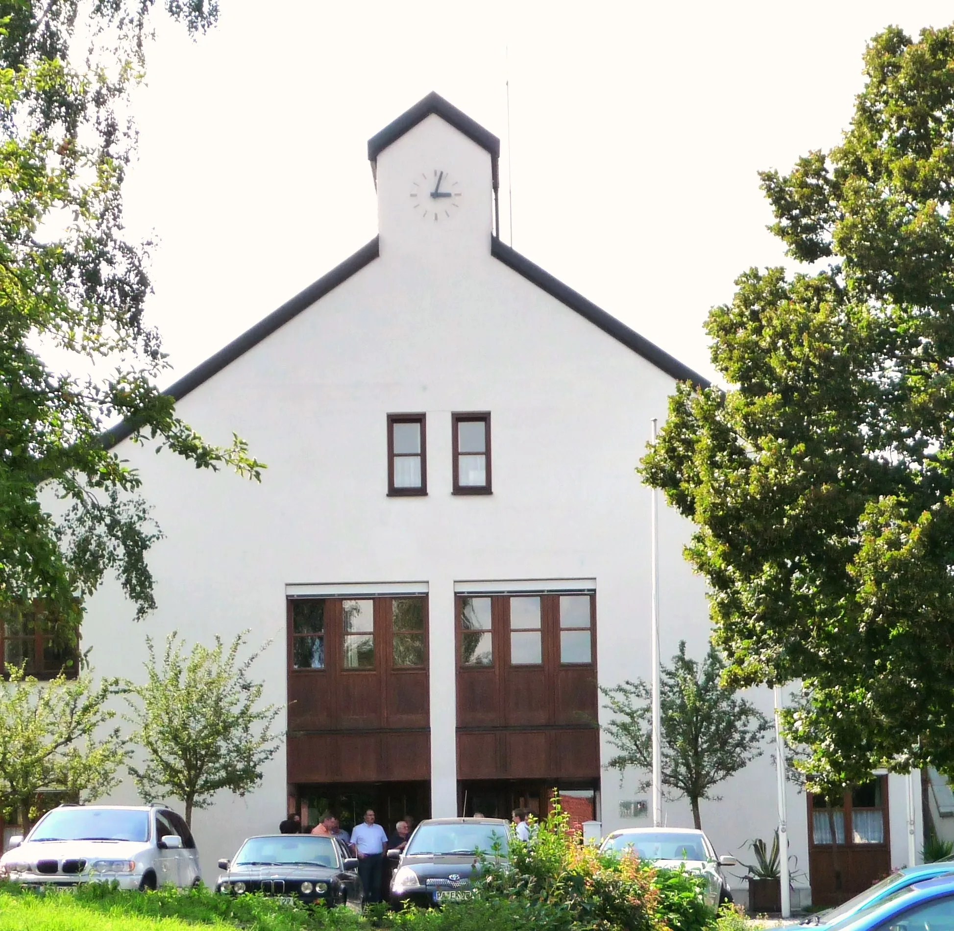
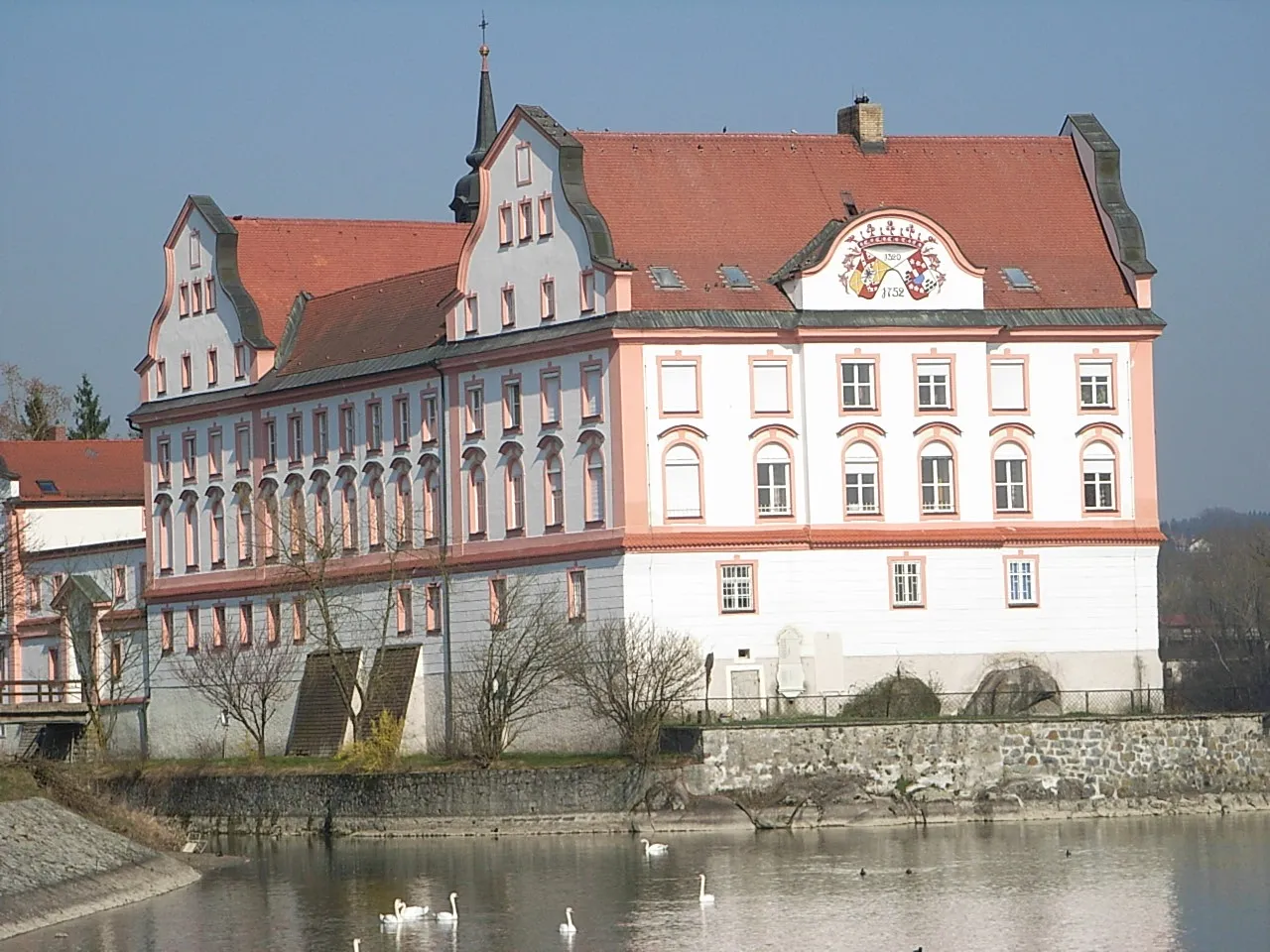
Embark on an unforgettable journey through the beautiful Innkreis region by cycling along the Inn River. This 69 km route features a total elevation gain of 1138 m, making it suitable for intermediate-level cyclists. Take in the breathtaking views of Kopfing im Innkreis, pass through the charming village of Zell an der Pram, and visit the quaint town of Rainbach im Innkreis. Don't miss the iconic Münzkirchen Schulen, a historic school building that adds a touch of charm to the route. With its moderate difficulty level and scenic highlights, this route promises a rewarding and enjoyable cycling experience.
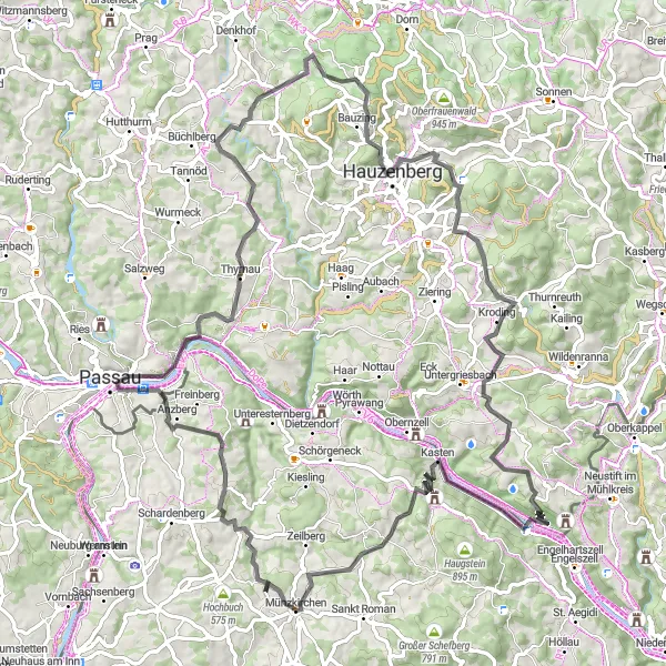
Embark on a stunning road cycling circuit and marvel at the captivating landscapes and historic sites.
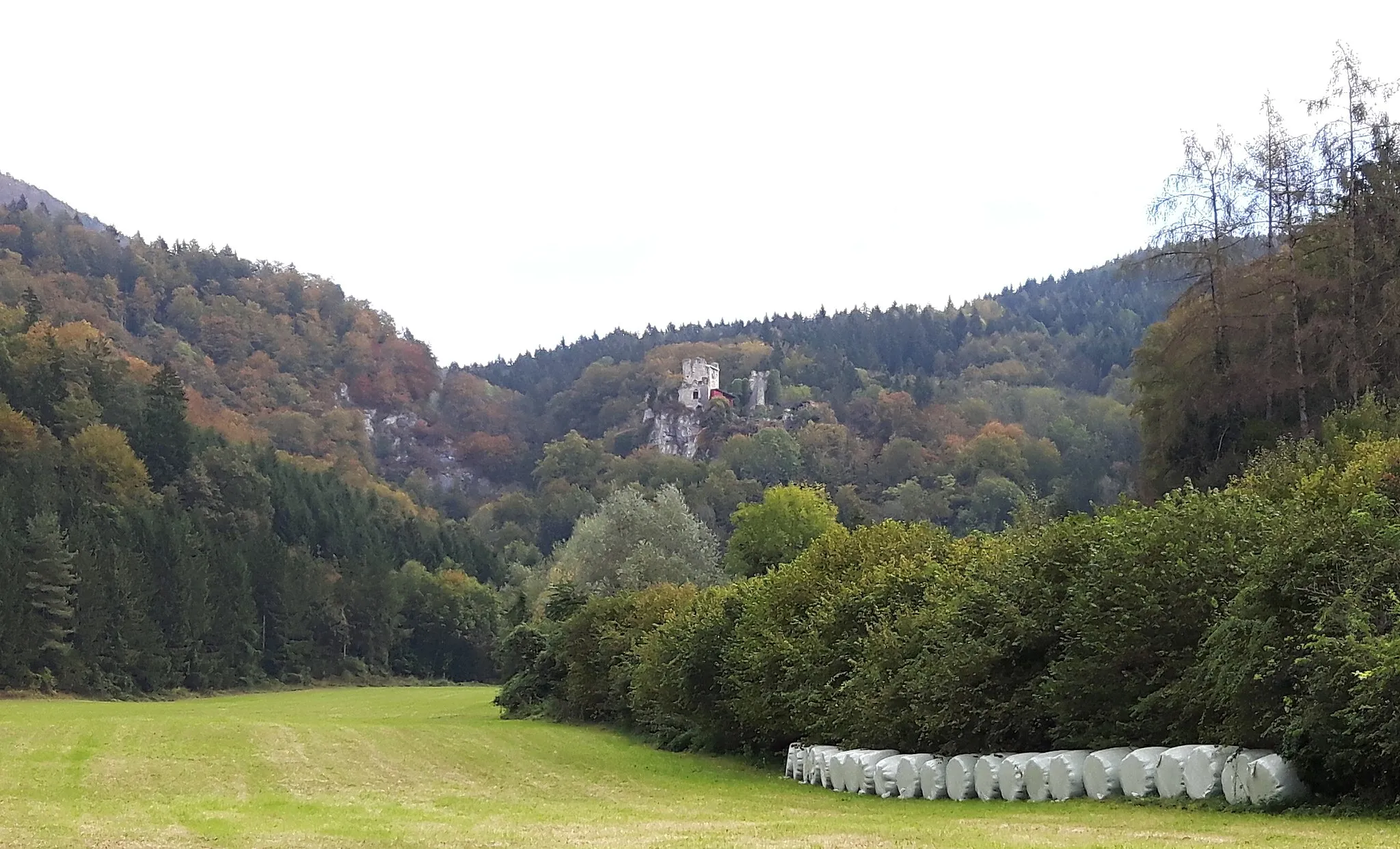
Prepare to be amazed as you embark on this stunning road cycling circuit that spans across 93 kilometers. With a total ascent of 1,970 meters, this challenging route showcases the natural beauty and historical richness of Oberösterreich. Discover the scenic beauty of Wetterpilz and experience the stunning views it offers while taking a much-needed break. Immerse yourself in the medieval charm of Veste Oberhaus and explore its fascinating architectural features. Cycle through Thyrnau and soak up the picturesque landscapes that surround you. Visit Tiessenberg and be captivated by its tranquil ambiance and beautiful vistas. Journey to Hauzenberg and admire its picturesque streets and charming atmosphere. Indulge in the serenity of Lämmersdorf, a hidden gem known for its peaceful surroundings and tranquility. Enjoy the scenic beauty of Teufelsstein and take in the stunning views it provides. Revel in the picturesque beauty of Vichtenstein and experience its laid-back ambiance. Finally, return to Münzkirchen and unwind after a long and unforgettable journey.
Embark on a picturesque journey from Münzkirchen and explore the region's historical highlights.
Follow a 131km road cycling route from Münzkirchen to Backofenstein, passing through charming towns and savoring the beautiful landscapes. Admire the architectural wonders of Pichl bei Wels and Aistersheim, and challenge yourself with 1,620m of ascent. Suitable for well-trained amateurs, this route has a difficulty rating of 4 and an epicness rating of 3.
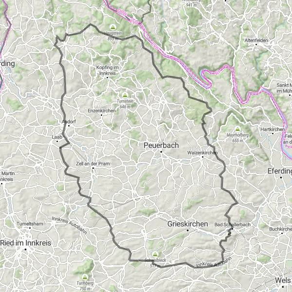
Ried im Innkreis Loop
Discover the picturesque towns of Ried im Innkreis and Andorf in this scenic cycling route.
This route takes you through the charming towns of Ried im Innkreis and Andorf, offering a mix of scenic landscapes and cultural highlights. With a total distance of 105 km and an elevation gain of 984 m, it is suitable for well-trained amateur cyclists. The route is mostly on paved roads and offers a moderate challenge.
The Ultimate Adventure
Embark on the ultimate cycling adventure through breathtaking landscapes and captivating towns.
Prepare for the ultimate cycling challenge as you embark on this adrenaline-pumping route through Oberösterreich. With a total ascent of 2,829 meters and a distance of 145 kilometers, this journey is not for the faint-hearted. Enjoy the panoramic views from the Aussichtspunkt Söller viewpoint and be mesmerized by the natural beauty that surrounds you. Explore the charming town of Neuburg am Inn and discover its rich history and architectural treasures. Enter the peaceful world of Heining - a hidden gem offering stunning landscapes and tranquility. Cycle through Aicha vorm Wald, a picturesque village known for its scenic beauty and idyllic charm. Admire the majestic Thurmansbang Castle and delve into its fascinating past. Stop at Bärta, a small village with a big heart, where locals will warmly welcome you. Revel in the breathtaking vistas of the Röhrnbach region and experience the serene beauty of Thyrnau. Take shelter from the elements at the Wetterpilz, a cozy pavilion offering shelter for weary cyclists. Finally, reach Passau, a city rich in history and culture, known as the City of Three Rivers. Get ready for a truly epic adventure that will test your endurance and leave you with unforgettable memories.
Cycle through the picturesque landscapes and explore the fascinating landmarks of Upper Austria.
Embark on a 64km road cycling adventure from Humerleiten to Münzkirchen, passing through captivating towns and enchanting countryside. Try the local produce in Lambrechten and marvel at the panoramic views from Hoher Schachen. With an ascent of 990m, this route is suitable for amateurs with a difficulty rating of 3 and an epicness rating of 2.
Cycling routes nearby:


Nearby regions: