Humerleiten to Münzkirchen Road Loop
A road cycling route starting from Muenzkirchen
Cycle through the picturesque landscapes and explore the fascinating landmarks of Upper Austria.
Map
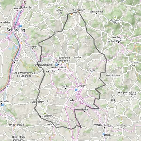
Embark on a 64km road cycling adventure from Humerleiten to Münzkirchen, passing through captivating towns and enchanting countryside. Try the local produce in Lambrechten and marvel at the panoramic views from Hoher Schachen. With an ascent of 990m, this route is suitable for amateurs with a difficulty rating of 3 and an epicness rating of 2.
road
64 km
990 m
Tough
Route profile
Highlights on the route
0 km
0 km
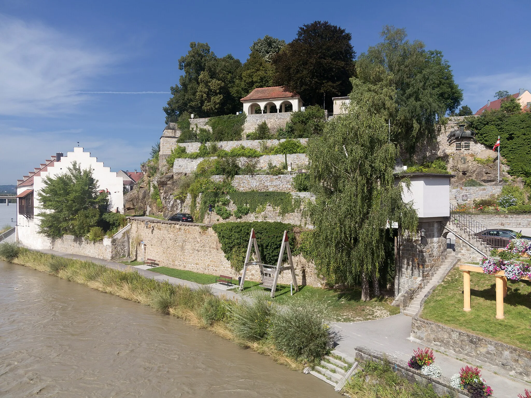
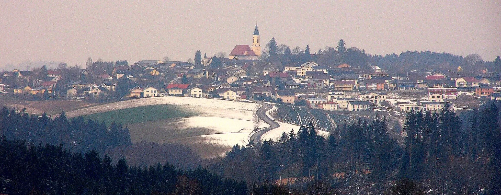
Start: Münzkirchen Village centerMünzkirchen: Cycling through the scenic countryside and conquering the climb of Platte in Münzkirchen
Münzkirchen is a charming locality in Oberösterreich, Austria. The area offers a mix of flat and hilly terrain, providing various cycling options for both road and gravel cyclists. You can explore the picturesque countryside, ride through vineyards, and discover quaint villages along the way. Münzkirchen is located near the popular Hausruck-Mühlviertel-Radweg, a well-known cycling route that takes you through beautiful landscapes and historic sites. Nearby, you can also find the famous climb of Platte, which offers stunning panoramic views as a reward for your efforts.28 km
28 km
HumerleitenHamletPass through the charming village of Humerleiten and soak in the relaxed ambiance.
36 km
36 km
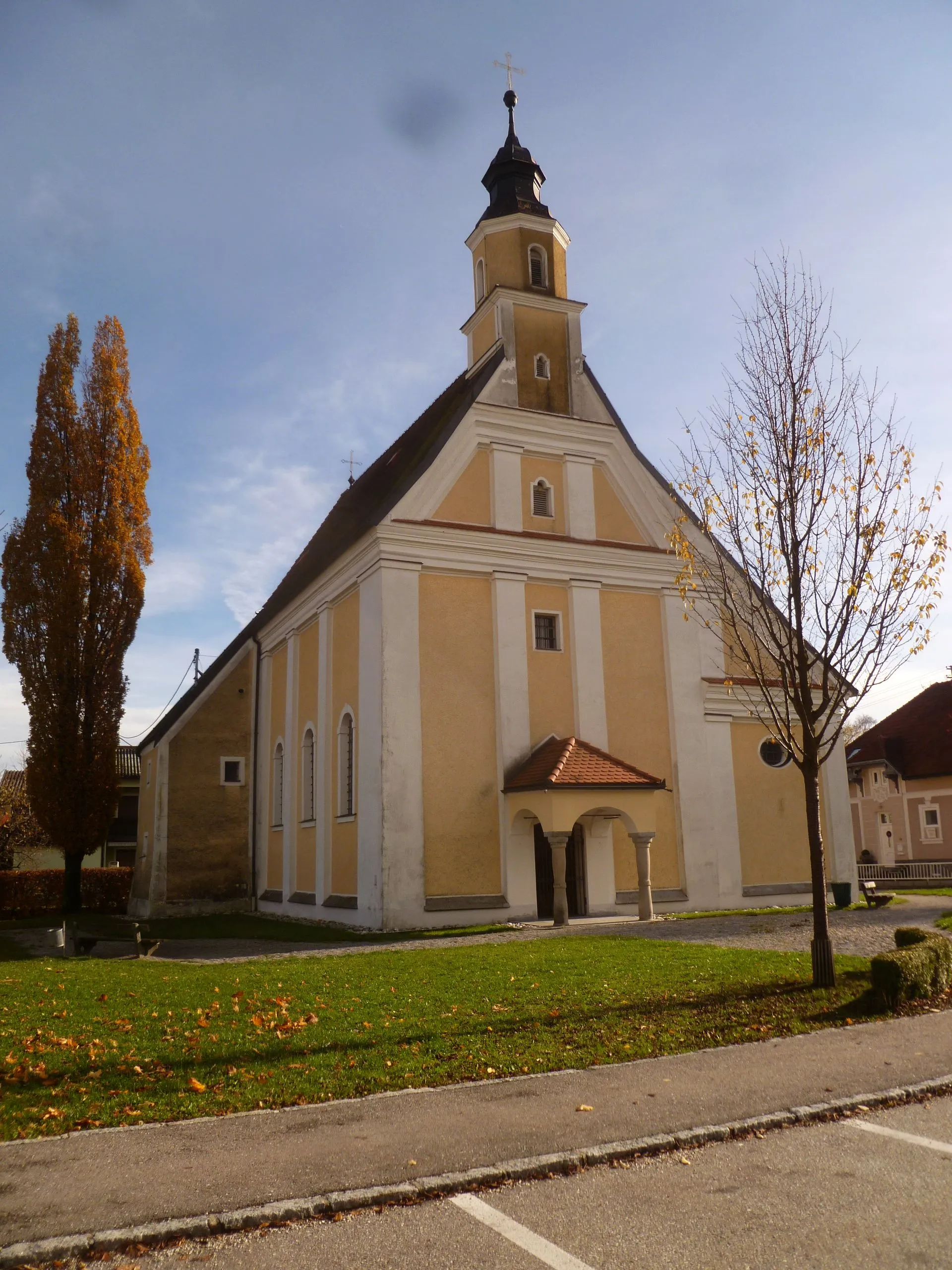
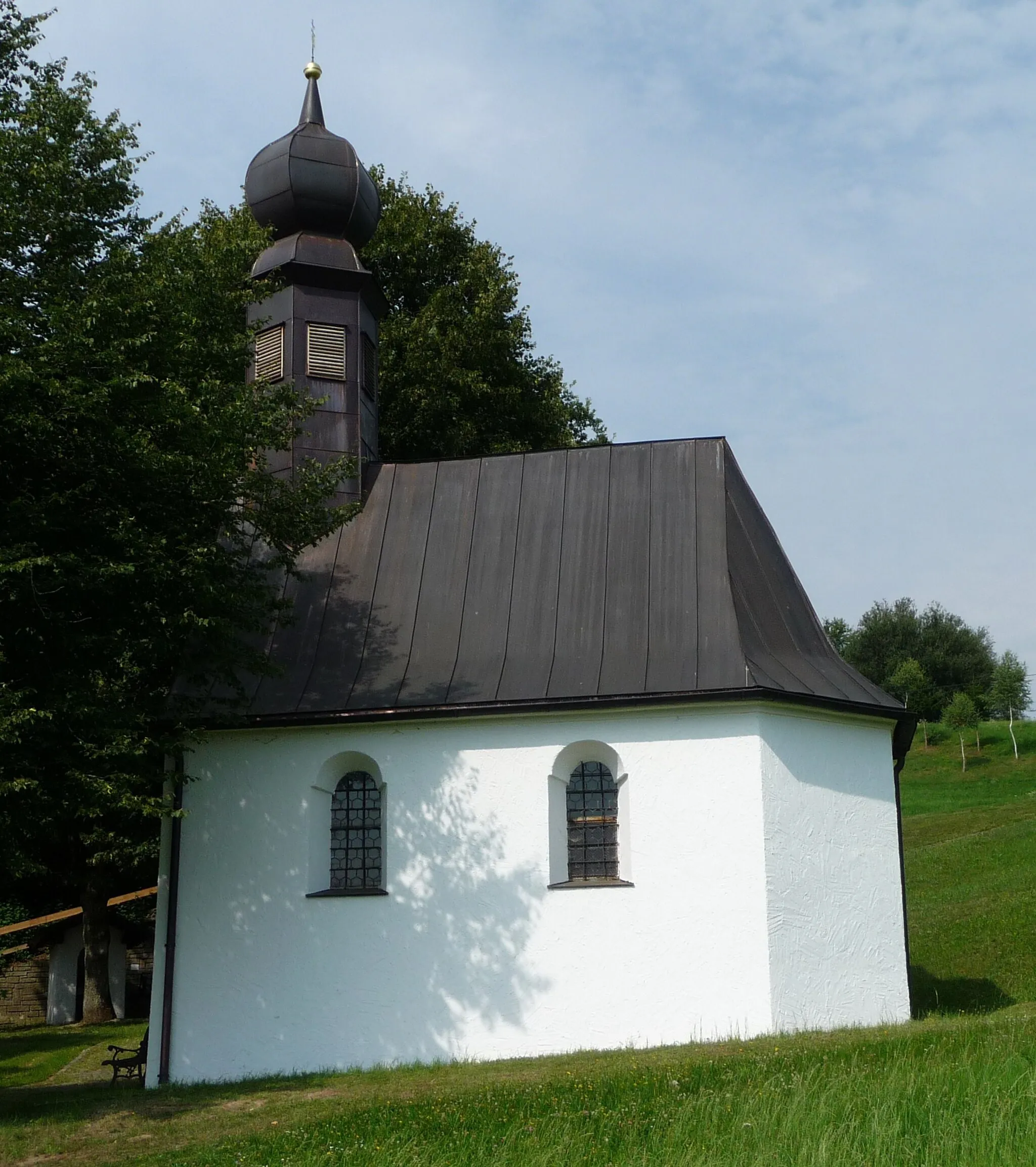
LambrechtenVillageMake a stop in Lambrechten and taste local delicacies made from fresh regional produce.
38 km
38 km
Hoher Schachen498 mPeakHead up to Hoher Schachen and be rewarded with breathtaking views of the picturesque landscapes.
44 km
44 km
OberfuckingHamletCycle through the scenic Oberfucking region and savor the tranquility of the surroundings.
59 km
59 km
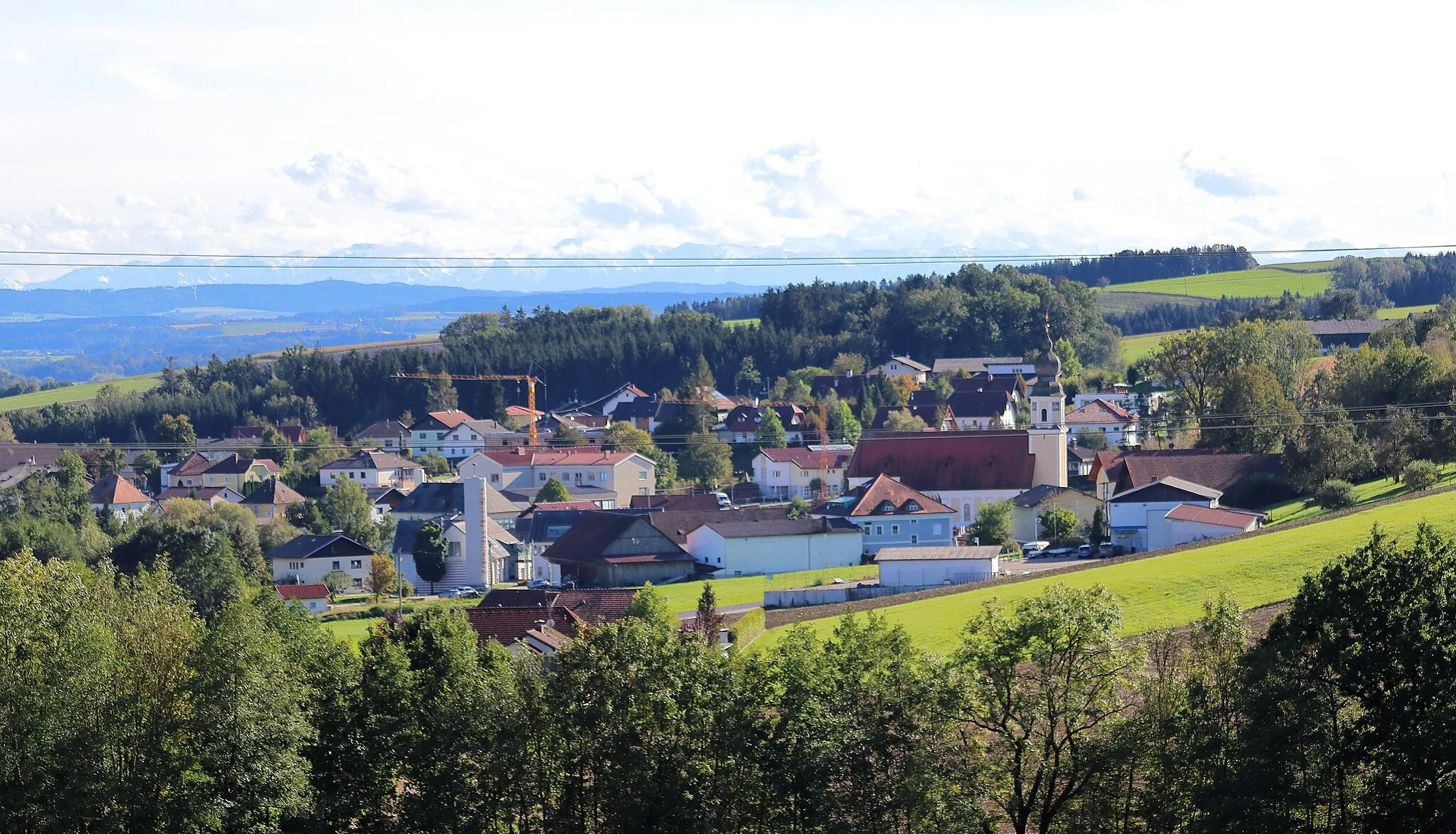
Rainbach im InnkreisVillageEnjoy the rural landscapes and picturesque views as you cycle through Rainbach im Innkreis.
64 km
64 km
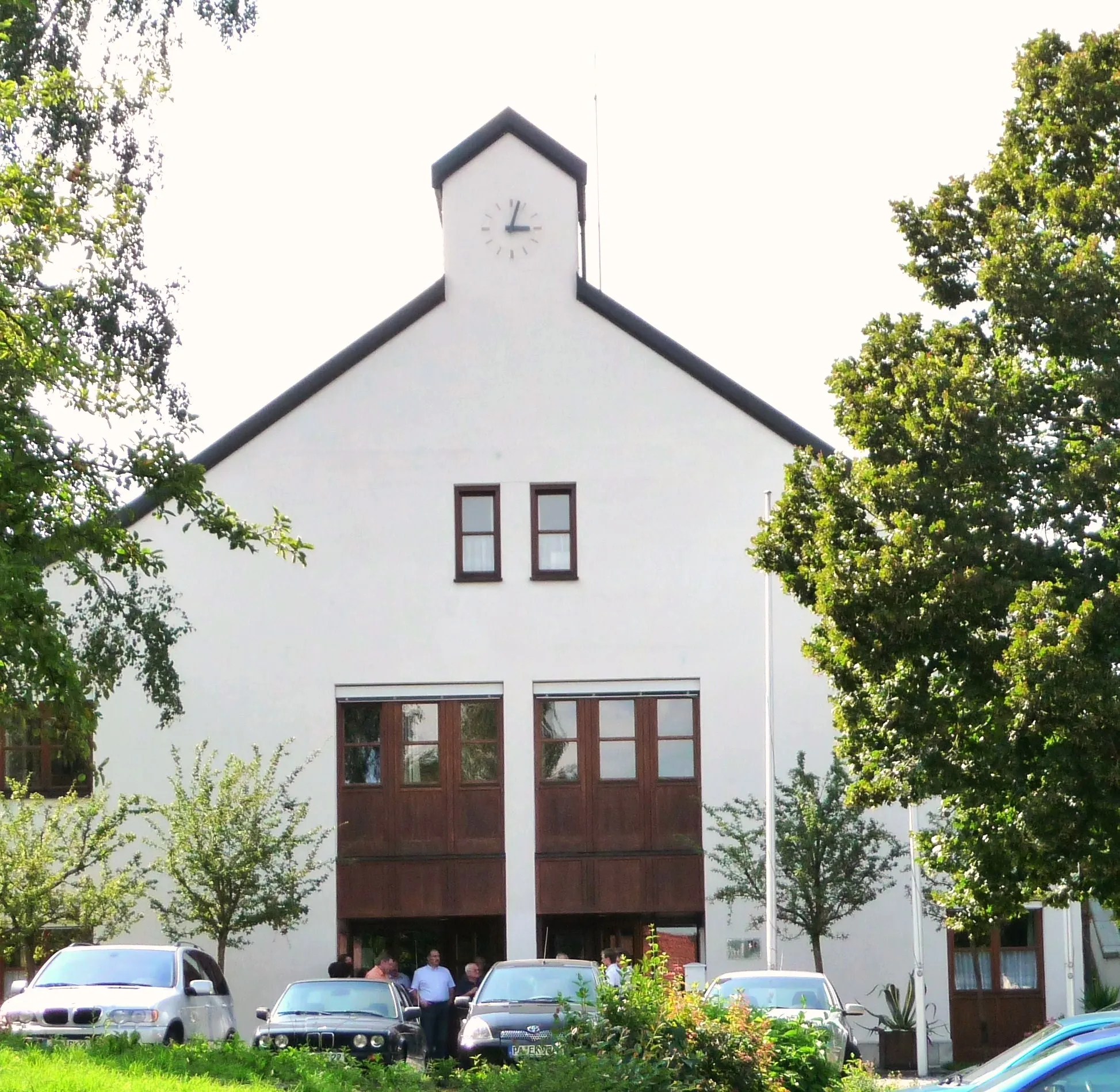
Münzkirchen SchulenShelterPass by the renowned Münzkirchen schools and admire their architectural grandeur.
64 km
64 km
Finish: Münzkirchen Village centerMünzkirchen: Cycling through the scenic countryside and conquering the climb of Platte in Münzkirchen
Cycling routes from Muenzkirchen:
Obernzell to Sankt Roman Road Loop Münzkirchen to Backofenstein Road Loop Innkreis Royal Ride Ried im Innkreis and Mettmach Loop Bad Höhenstadt to Hochbuch Gravel Loop Taufkirchen am Inn Discovery Humerleiten to Münzkirchen Road Loop Ried im Innkreis Loop Wesen Gravel Adventure Schärding to Kneiding Road Loop The Ultimate Adventure The Stunning Circuit The Gravel Adventure The Road Adventure
Cycling routes nearby: