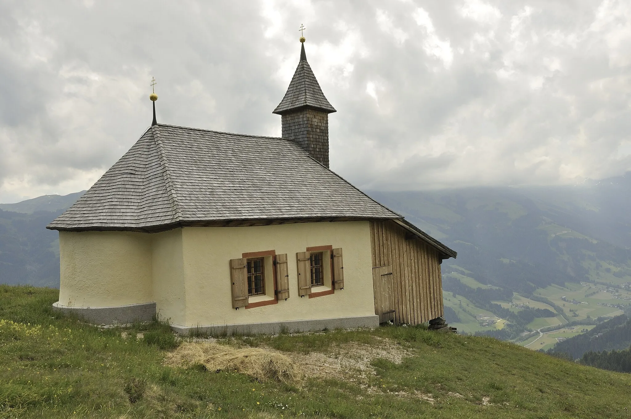
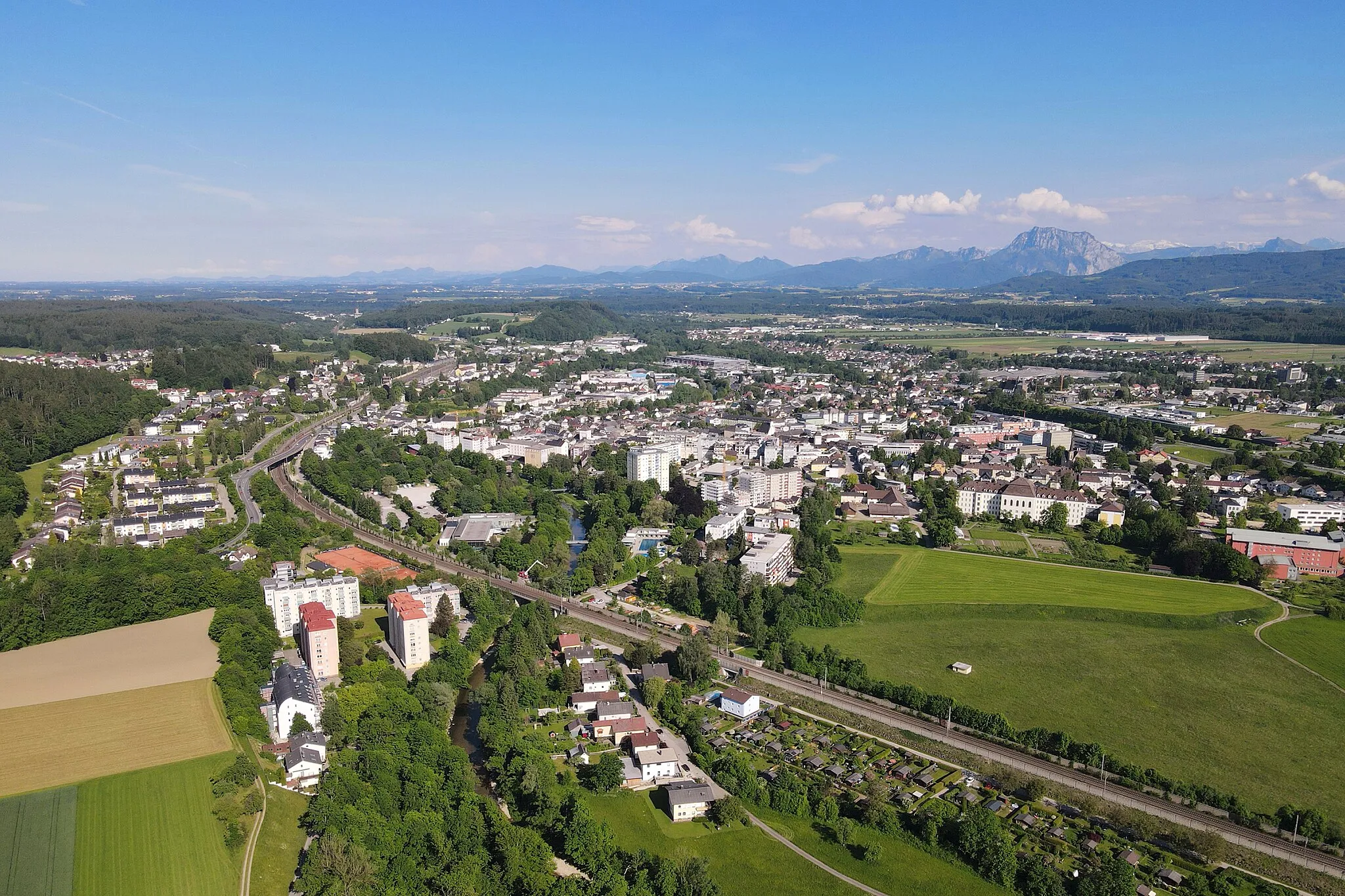
Tranquil village cycling with rewarding climbs in Puchheim.
Cycling routes from Puchheim
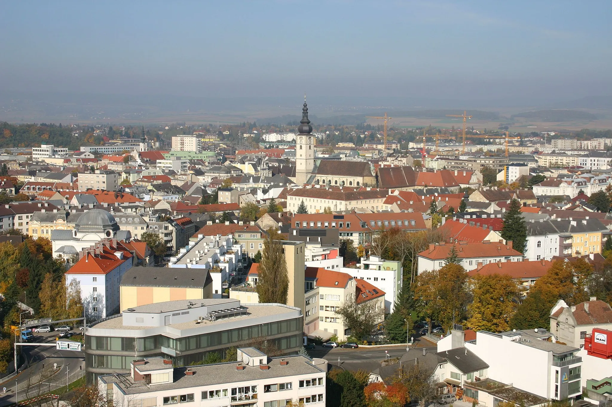
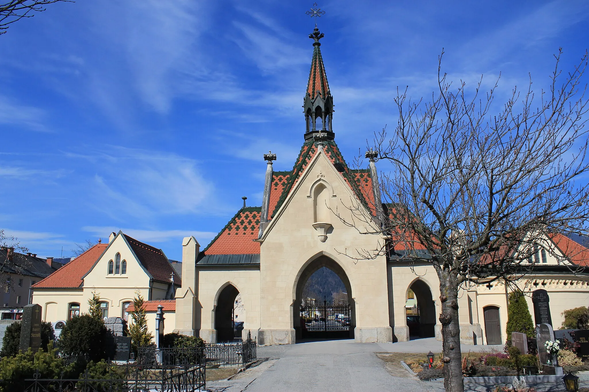
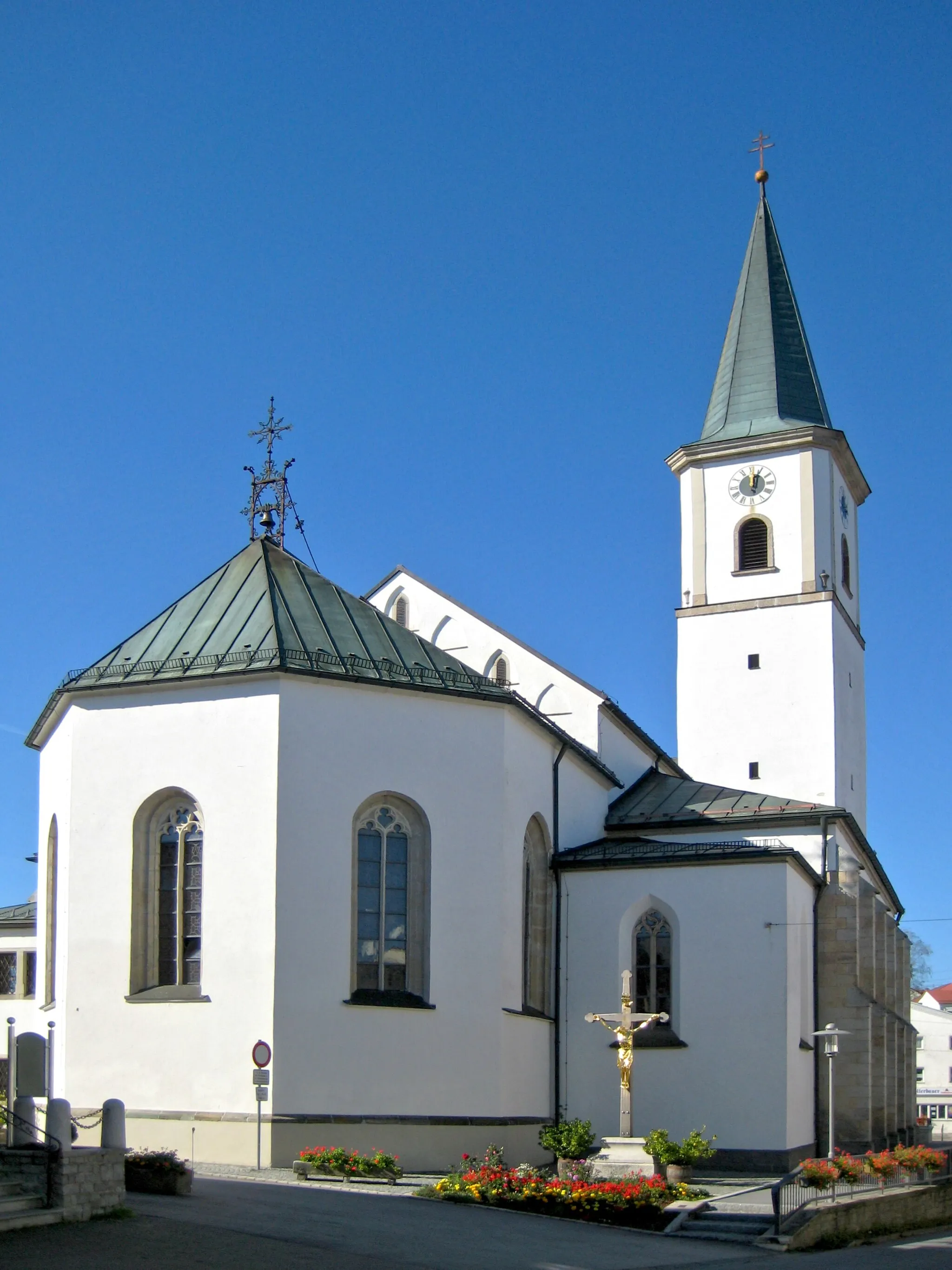
Puchheim is a locality located in the Oberösterreich region of Austria.' For road and gravel cyclists, Puchheim offers a mix of terrain, ranging from flat areas along the Feldkirchen Lakes to hilly sections with rewarding climbs. The roads are well-maintained, providing a smooth riding experience. Puchheim itself is a tranquil village known for its natural beauty and scenic landscapes. Nearby cycling attractions include the Haftberg climb and the Herrgottsbergpanorama route. These routes offer challenging gradients and stunning views of the surrounding countryside. Puchheim is an ideal destination for cyclists seeking picturesque rides and invigorating climbs.
The Trattnach Loop
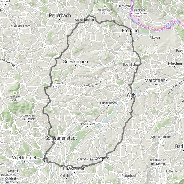
Explore the scenic surroundings of Puchheim and experience the beauty of the Trattnach region.
Embark on a challenging cycling adventure in Oberösterreich, Austria. The Trattnach Loop takes you through picturesque landscapes, charming towns, and historic landmarks. With a total distance of 134 kilometers and an elevation gain of 1,368 meters, this route offers a rewarding experience for avid cyclists. The hilly terrain provides a good mix of climbs and descents, making it suitable for those seeking a physical challenge. Revel in the stunning views of the countryside and immerse yourself in the rich culture and history of the area.
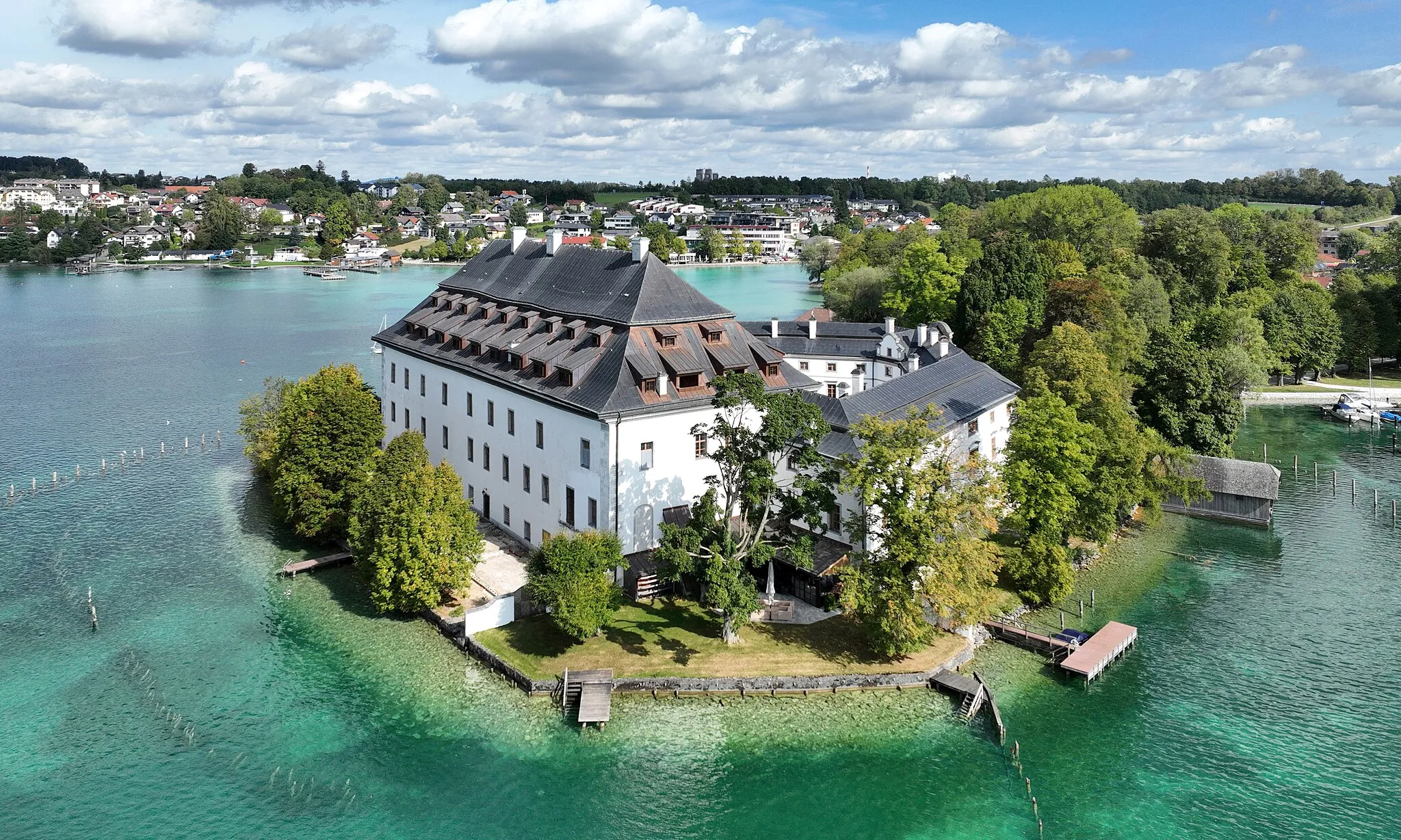
Scenic Route to Schloss Puchheim
Experience the beauty of the Austrian countryside on this scenic gravel route
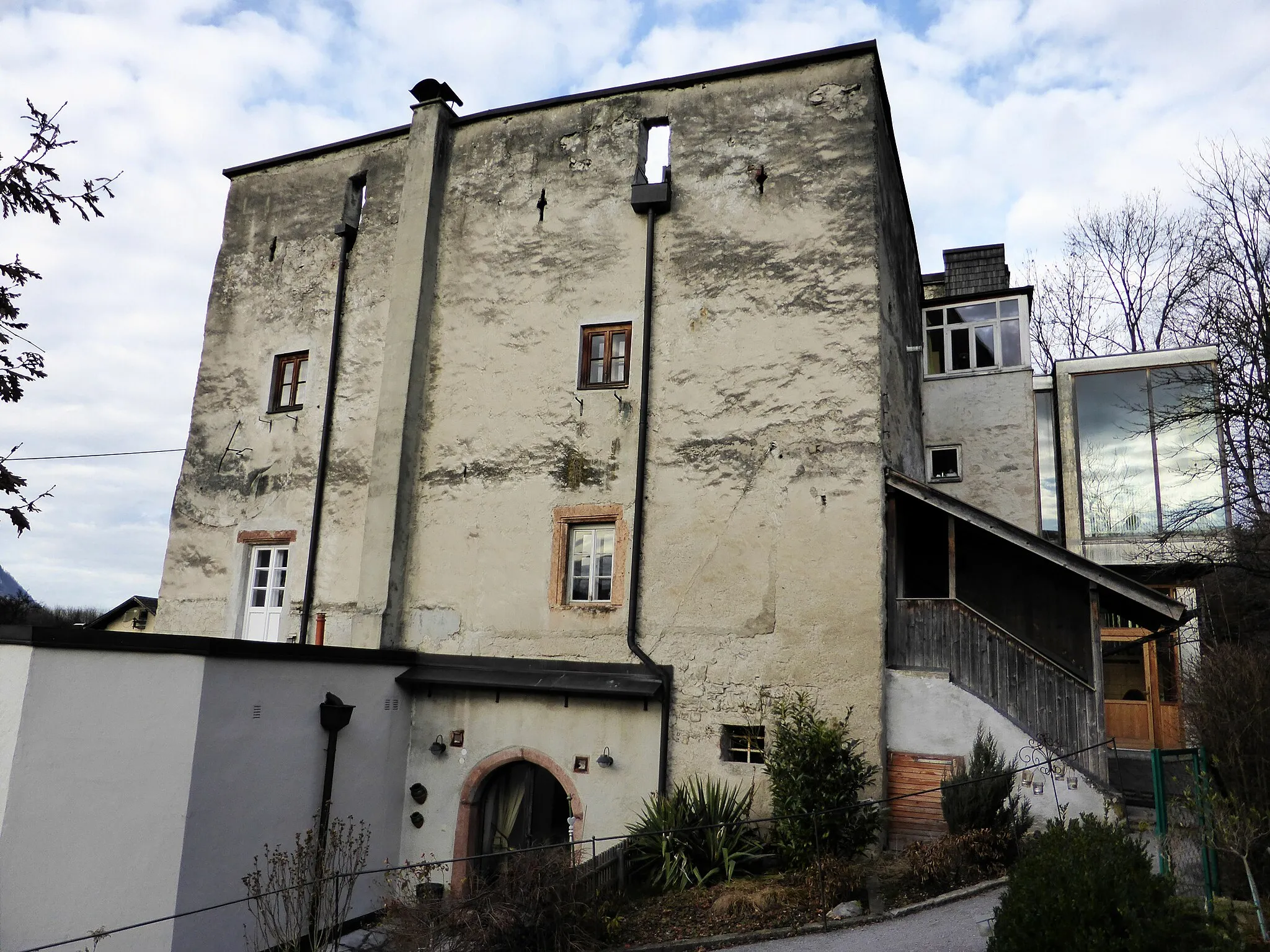
The Scenic Route to Schloss Puchheim is a 38 km-long gravel tour with an ascent of 851 m. This route is ideal for cyclists looking for a shorter yet rewarding adventure. Starting near Puchheim, the tour takes you through picturesque landscapes and highlights the stunning Schloss Puchheim castle along the way. It is a perfect choice for those seeking a balance between natural beauty and historical attractions.
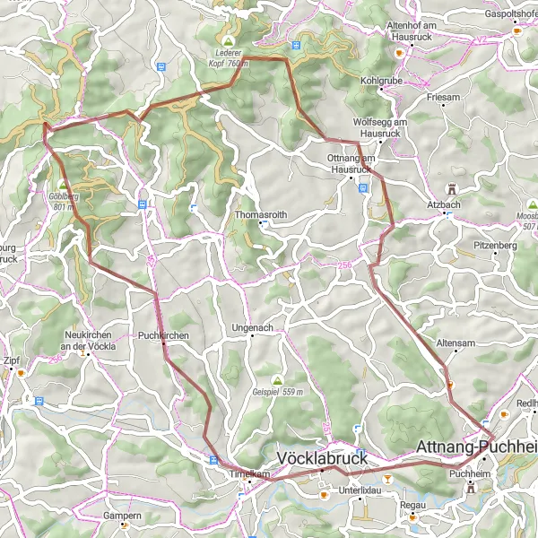
A challenging gravel adventure off the beaten path
The Off the Beaten Path Gravel Adventure is a 54-km long route with an ascent of 879 meters. It offers a thrilling adventure for gravel enthusiasts who seek a challenging ride through scenic landscapes. Highlights along the way include Timelkam, Power Tower, and Urhamerberg. With a difficulty level of 4 and an epicness score of 3, this route promises an exhilarating experience to well-trained amateurs.
Martinskirche Road Cycling Route
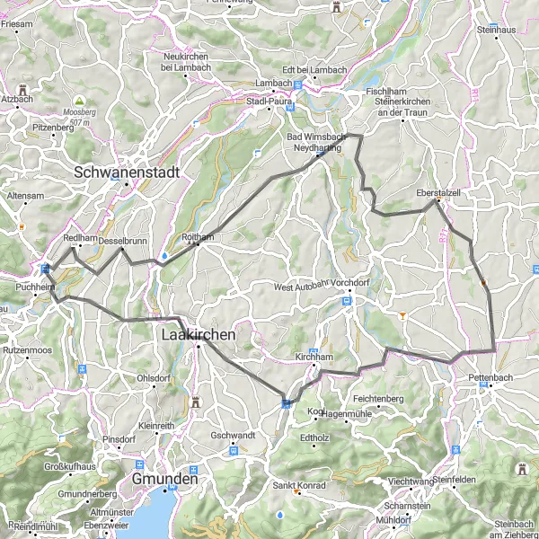
A scenic road cycling route with a breathtaking view from Martinskirche
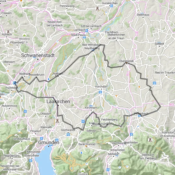
The Martinskirche Road Cycling Route is a 68-km long scenic route with a moderate ascent of 591 meters. One of the highlights of this route is the beautiful view from Martinskirche, offering panoramic vistas of the surrounding landscape. Other highlights along the way include Desselbrunn, Bad Wimsbach-Neydharting, and Eberstalzell. The difficulty level of this route is moderate, suitable for well-trained amateurs. It is a moderately epic journey with an overall score of 3.
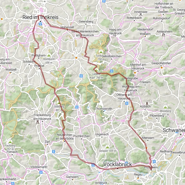
Discover the hidden beauty of Upper Austria on this captivating gravel route
The Gravel Exploration of Upper Austria is a 67 km-long cycling tour with an ascent of 936 m. The route showcases the scenic landscapes and cultural highlights of the region. Starting near Puchheim, this gravel route takes you through peaceful villages, dense forests, and offers breathtaking panoramic viewpoints. Perfect for gravel enthusiasts and nature explorers.
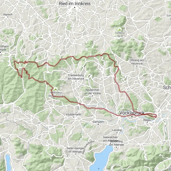
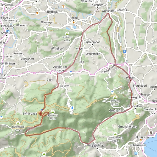
An adrenaline-filled off-road experience through the enchanting landscapes of Puchheim
Embark on a thrilling gravel cycling adventure in Oberösterreich, Austria. This 89-kilometer route will lead you through picturesque villages and breathtaking natural scenery. You'll conquer 1,719 meters of ascent while enjoying the tranquility of the countryside. Don't miss the chance to visit historic landmarks and soak in the beauty of the iconic Vöcklabruck. Prepare yourself for an epic cycling journey that will push your limits and provide unforgettable memories.
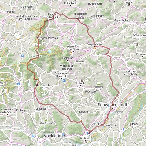
Explore the scenic beauty of the Hausruck forest and pass through the famous Hamischen Gatterl
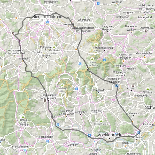
The Hamisches Gatterl Gravel Route is a challenging and picturesque cycling tour starting near Puchheim. With a total distance of 82 km and an elevation gain of 1,214 m, this gravel route offers a mix of breathtaking nature and cultural highlights. The route takes you through stunning landscapes, charming villages, and peaceful forests. It is an unforgettable experience for gravel enthusiasts and nature lovers alike.
Desselbrunn Road Cycling Journey
A challenging road cycling journey with stunning views of Desselbrunn
The Desselbrunn Road Cycling Journey covers a distance of 82 km with an ascent of 861 meters. The highlight of this route is the panoramic view of Desselbrunn, which offers breathtaking scenery. Other noteworthy stops along the way include Eberstalzell, Pettenbach, and Feichtenberg. This route is suitable for well-trained amateurs who are looking for a moderate challenge. With a difficulty level of 4 and an overall epicness score of 3, it promises an exciting cycling experience.
Embark on an epic road adventure through the diverse landscapes of Upper Austria
The Road Adventure in Upper Austria is an 84 km-long cycling route with a challenging ascent of 978 m. Starting near Puchheim, this road tour takes you through rolling hills, picturesque villages, and offers breathtaking views of the Alps. The route showcases the scenic beauty and cultural highlights of the region, providing an unforgettable experience for road cycling enthusiasts.
An epic road cycling expedition around Lake Attersee
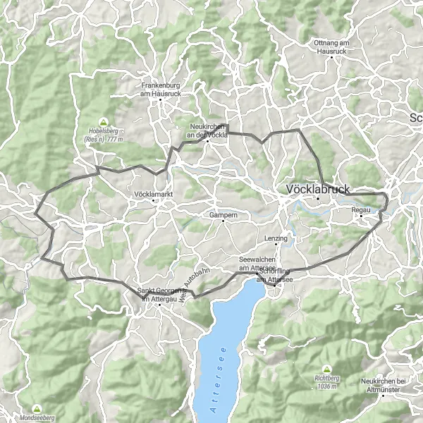
The Lake Attersee Road Cycling Expedition covers a distance of 73 km with an ascent of 1084 meters. Known for its scenic beauty, this route offers stunning views of Lake Attersee and the surrounding landscapes. Highlights along the way include Schörfling am Attersee, Gerlhamer Moor, and Schloss Wagrain. This route is recommended for experienced cyclists due to its difficulty level of 5 and high epicness score of 4.
Cycling routes nearby:

Nearby regions: