Passion for the Mountains
A road cycling route starting from Donawitz
Experience the thrill of conquering the Galgenberg, Offner Berg, and Brandlucken on this challenging road cycling route near Donawitz.
Map
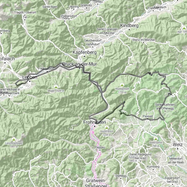
Spanning a distance of 153 kilometers and featuring a total ascent of 3048 meters, this road cycling route provides an exhilarating ride for enthusiasts. The scenic highlights along the route, such as the Römerbrücke and Schillerhöhe, add to the charm of the journey. With a difficulty level of 4 out of 5, this route is recommended for well-trained amateurs seeking a demanding adventure. The epicness of this route scores a solid 4 out of 5, offering a memorable experience for cyclists.
road
153 km
3048 m
Tough
Route profile
Highlights on the route
0 km
0 km
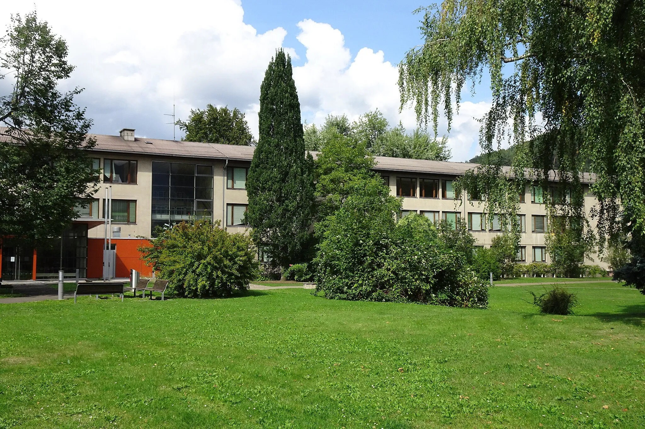
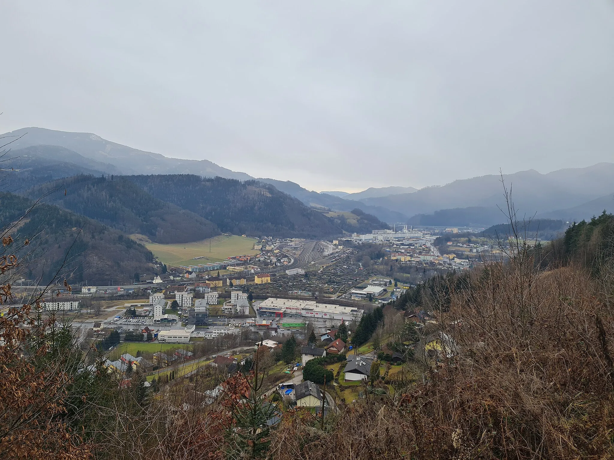
Start: Locality centerDonawitz: Mountainous cycling adventures in Donawitz, Steiermark, Austria.
Donawitz is a locality situated in the Steiermark region of Austria. It provides diverse cycling opportunities for both road and gravel cyclists. Cyclists can enjoy exploring challenging mountainous terrain, picturesque valleys, and tranquil countryside roads. Nearby, one can find the famous Erzberg climb, which features in the Iron Bike Race. Donawitz offers a mix of thrilling climbs and scenic routes for cyclists seeking unique challenges.0 km
0 km
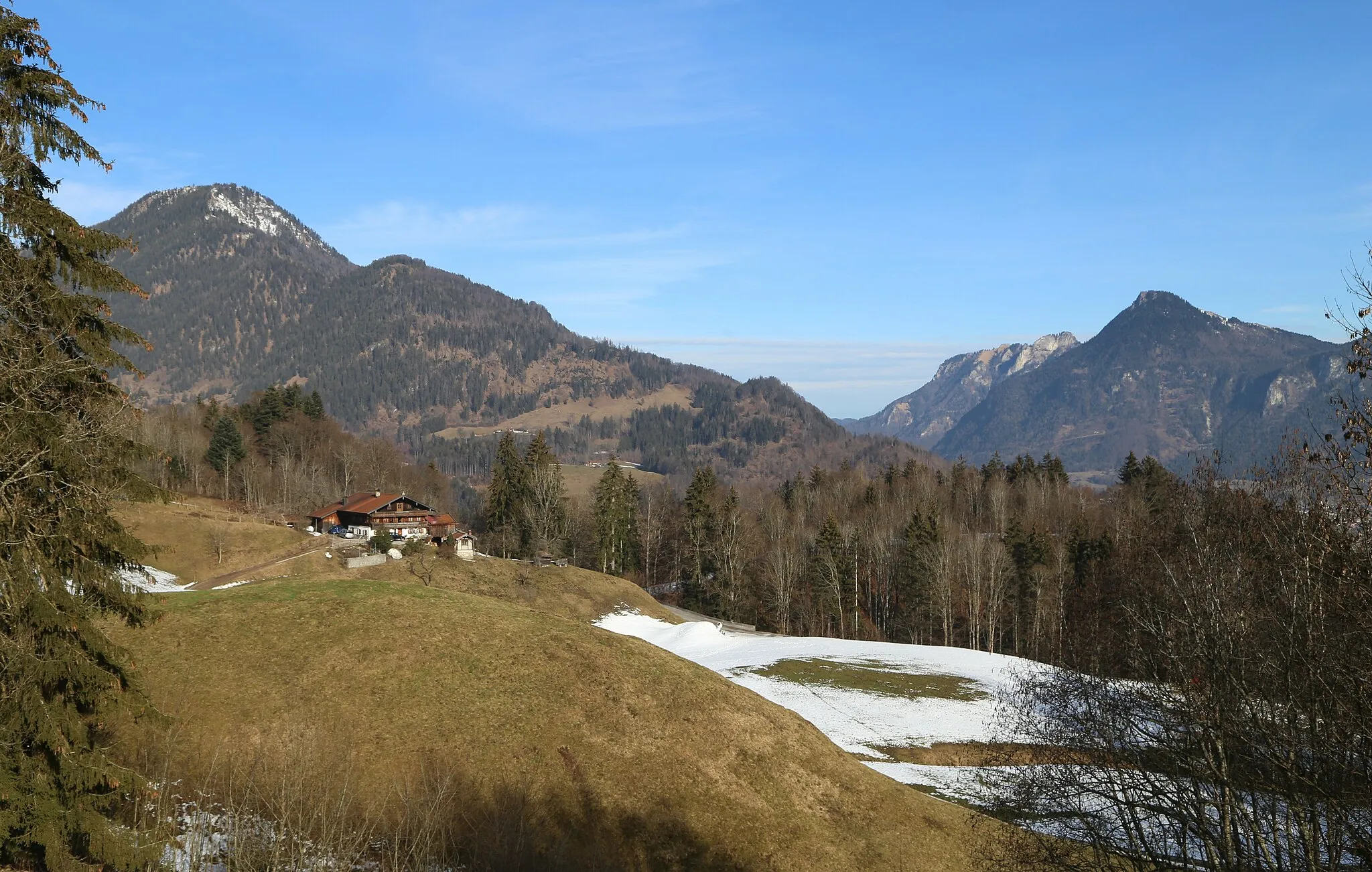
Galgenberg791 mPeakLocated at the starting point, Galgenberg offers picturesque views of the surrounding landscape and serves as an ideal spot to warm up before the challenging endeavor.
8 km
8 km
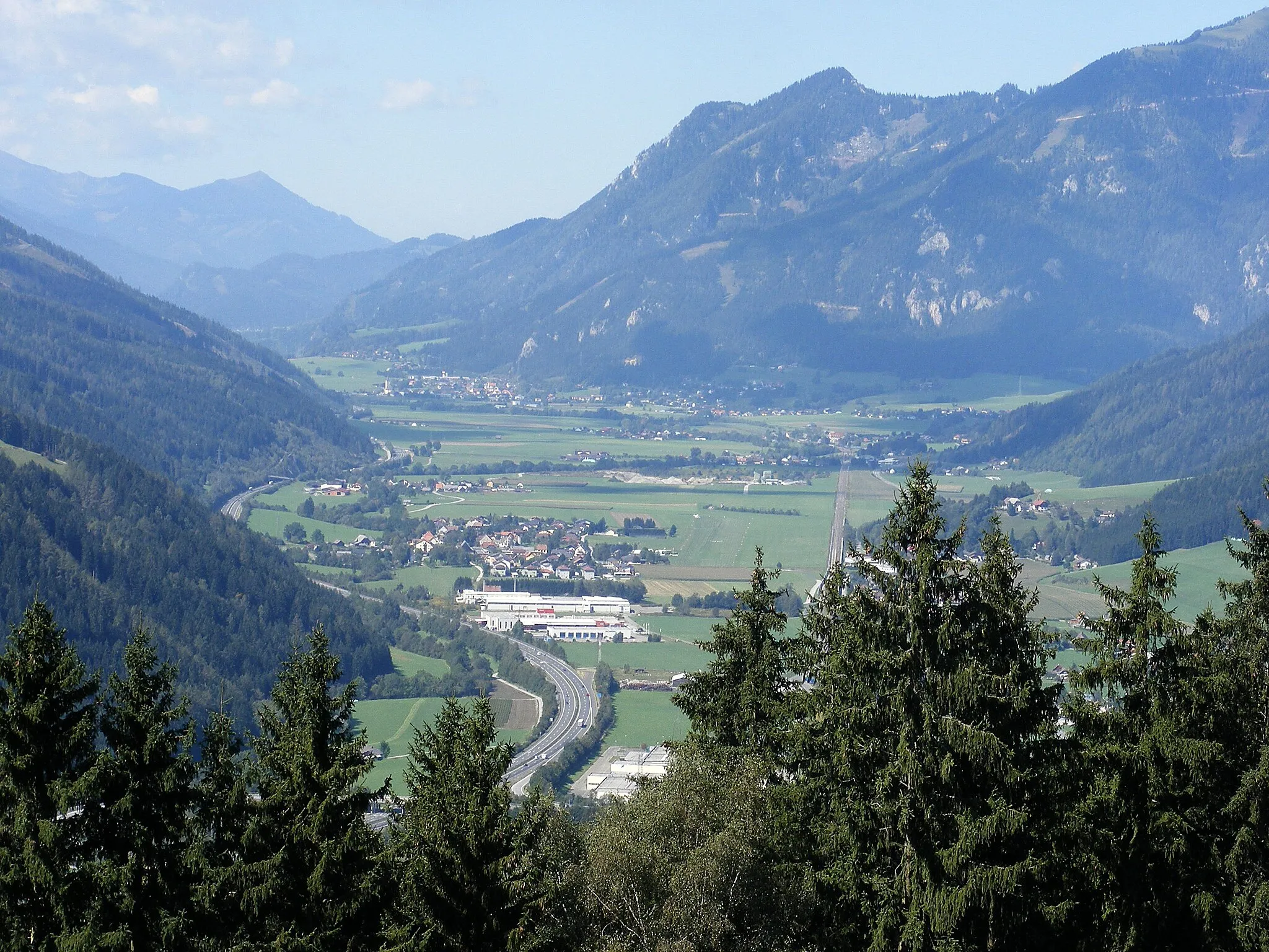
NiklasdorfVillageNiklasdorf awaits at the 8-kilometer mark, providing a refreshment opportunity and a chance to regroup before heading further towards the major climbs.
18 km
18 km
AussichtsplattformViewpointApproximately 18 kilometers into the route, the Aussichtsplattform offers a breathtaking panoramic view of the region, rewarding cyclists for their effort.
29 km
29 km
Pernegg an der MurVillagePernegg an der Mur greets riders after around 29 kilometers, offering a quaint village atmosphere and a pleasant break from the challenging journey.
41 km
41 km
Sankt ErhardVillageThe charming village of Sankt Erhard welcomes cyclists at the 41-kilometer mark, providing a picturesque stopover for rest and relaxation.
50 km
50 km
Straßegg1163 mMountain PassAt the 50-kilometer point, Straßegg embraces cyclists with its stunning natural beauty, encouraging them to push forward and conquer greater heights.
62 km
62 km
Offner Berg1293 mPeakOffner Berg waits patiently at the 62-kilometer juncture, testing the mettle of cyclists with its challenging climb and rewarding them with captivating vistas.
64 km
64 km
BrandluckenVillageAfter approximately 64 kilometers, Brandlucken marks a notable milestone on the route, with its serene surroundings inviting riders to recharge and soak in the atmosphere.
79 km
79 km
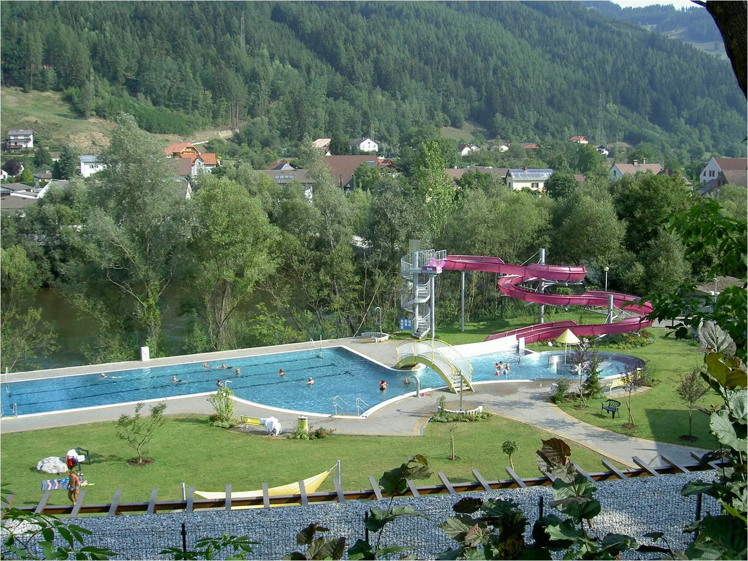
PassailVillagePassail, located at around 79 kilometers, offers an inviting respite with its quaint charm and opportunity to replenish supplies before continuing the adventure.
87 km
87 km
Sulberg1094 mPeakSulberg awaits at the 87-kilometer mark, treatng cyclists to beautiful views of the countryside and a chance to catch their breath before facing subsequent challenges.
95 km
95 km
Heuberg941 mPeakHeuberg, appearing after approximately 95 kilometers, greets riders with its peaceful ambiance and serves as a moment of tranquility amid the arduous journey.
100 km
100 km
Schrems bei FrohnleitenVillageSchrems bei Frohnleiten, appearing at the 100-kilometer milestone, offers a delightful change of scenery and an opportunity to witness the beauty of the Frohnleiten region.
108 km
108 km
Schlöglmoar689 mPeakSchlöglmoar is nestled 108 kilometers into the route, showcasing the rustic charm of the countryside along with a moment of respite for riders.
114 km
114 km
MixnitzVillageMixnitz, appearing after 114 kilometers, captivates cyclists with its enchanting surroundings and offers a scenic spot for a well-deserved break from the challenging terrains.
130 km
130 km
Dürrnberg772 mPeakAt around 130 kilometers, the impressive Dürrnberg awaits cyclists, providing stunning panoramic views of the countryside and leaving riders in awe of nature's splendor.
132 km
132 km
RömerbrückeAttractionRömerbrücke, making its appearance at the 132-kilometer mark, evokes a sense of history as riders traverse this ancient bridge, making for a unique and memorable experience.
140 km
140 km
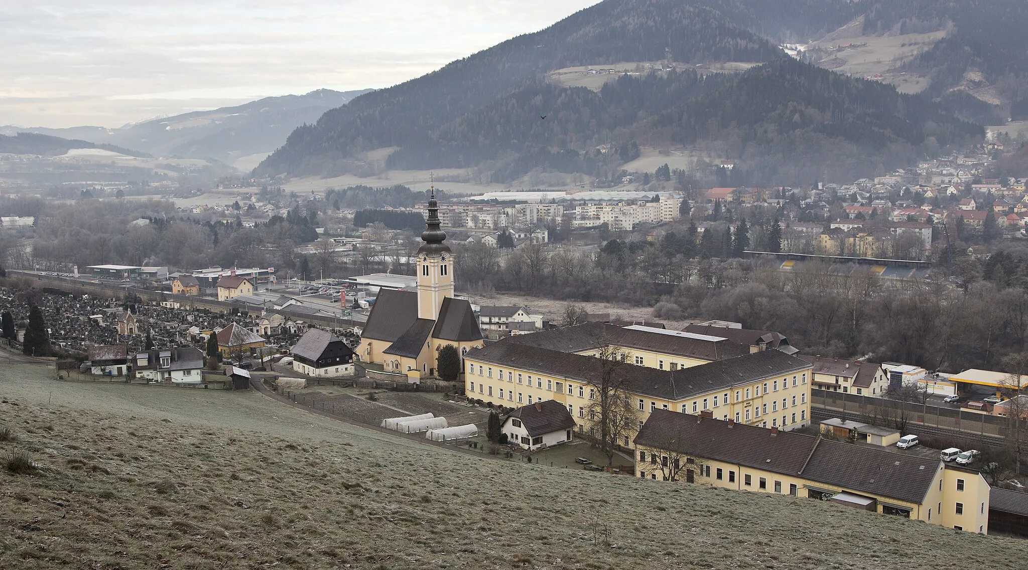
ProlebVillageProleb embraces cyclists at the 140-kilometer milestone, enchanting them with its idyllic surroundings and providing a chance to rejuvenate before the home stretch.
144 km
144 km
Münzenberg628 mPeakMünzenberg greets riders after approximately 144 kilometers on the route, offering a captivating visual spectacle and a tranquil ambiance to ease the exhaustion of the journey.
151 km
151 km
Schillerhöhe924 mPeakAt the completion of the route, Schillerhöhe rewards cyclists with an awe-inspiring view of Donawitz and its surroundings, providing an unforgettable ending to an epic adventure.
153 km
153 km
Finish: Locality centerDonawitz: Mountainous cycling adventures in Donawitz, Steiermark, Austria.
Cycling routes from Donawitz:
Donawitz Gravel Adventure Explore Donawitz Road Wonders Galgenberg Loop Donawitz Scenic Gravel Delight Discover Donawitz Gravel Bliss Passion for the Mountains Unleash Your Gravel Adventurer Gravel Adventure Scenic Short Ride Challenging Adventure Donawitz Loop via Galgenberg The Gravel Adventure The Gravel Adventure II
Cycling routes nearby: