Hohentauern Exploration
A road cycling route starting from Fohnsdorf
Discover the stunning landscapes of Hohentauern on this road cycling route
Map
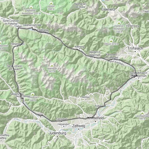
Discover the stunning landscapes of Hohentauern on this road cycling route. With a distance of 129 kilometers and an ascent of 1388 meters, this route offers a moderate challenge for cyclists. Take in the beauty of Pöls, Franz-Josephs-Höhe, Wirtsgupf, Gaishorn am See, Wald am Schoberpaß, Baierhubermauer, Rabenstein, Kammern im Liesingtal, Liesingberg, Kraubath an der Mur, and Sulzberg. The difficulty level is 3 out of 5, making it suitable for well-trained amateurs. While not particularly epic, this route offers scenic beauty and a chance to explore the picturesque region of Steiermark.
road
129 km
1388 m
Tough
Route profile
Highlights on the route
0 km
0 km
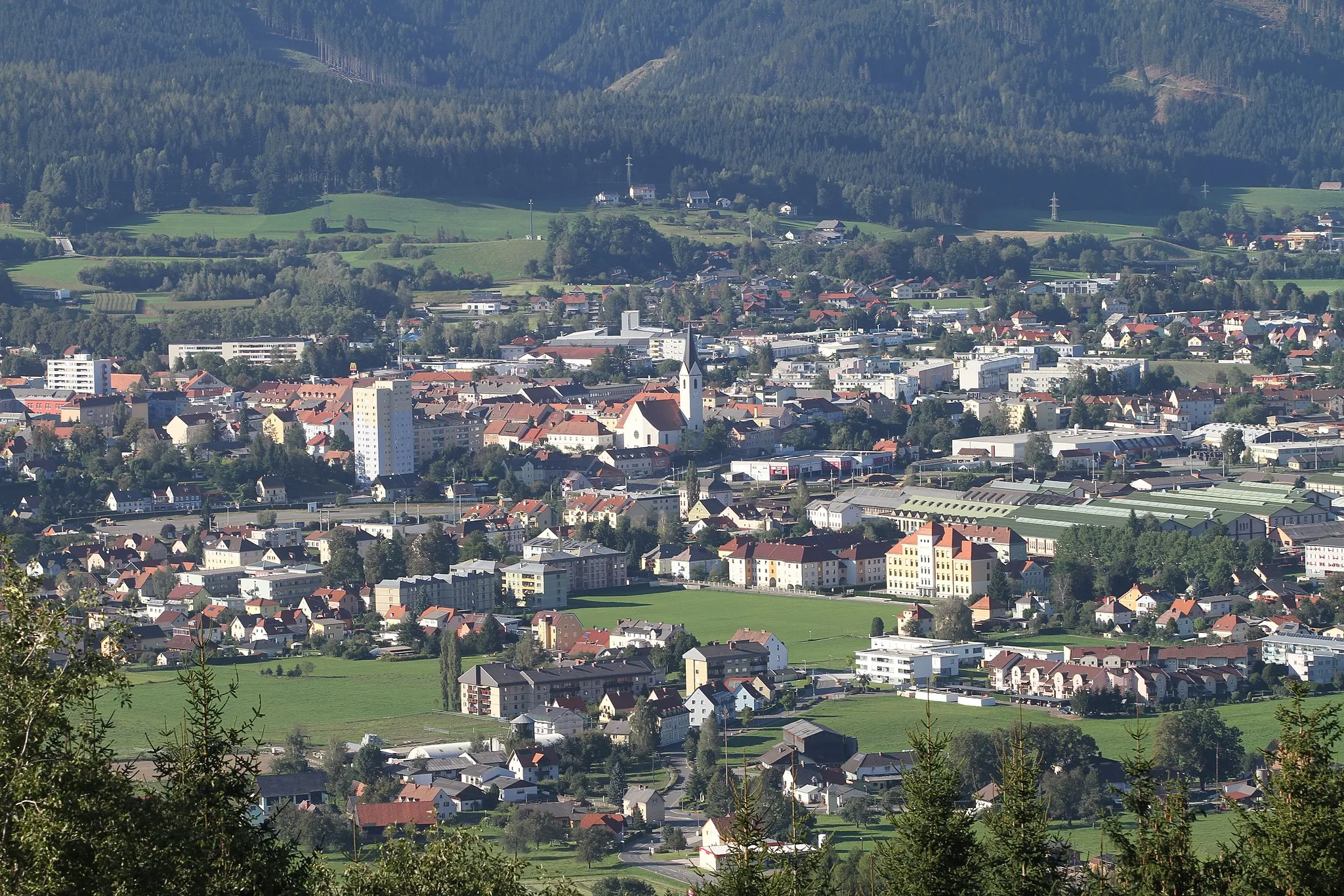
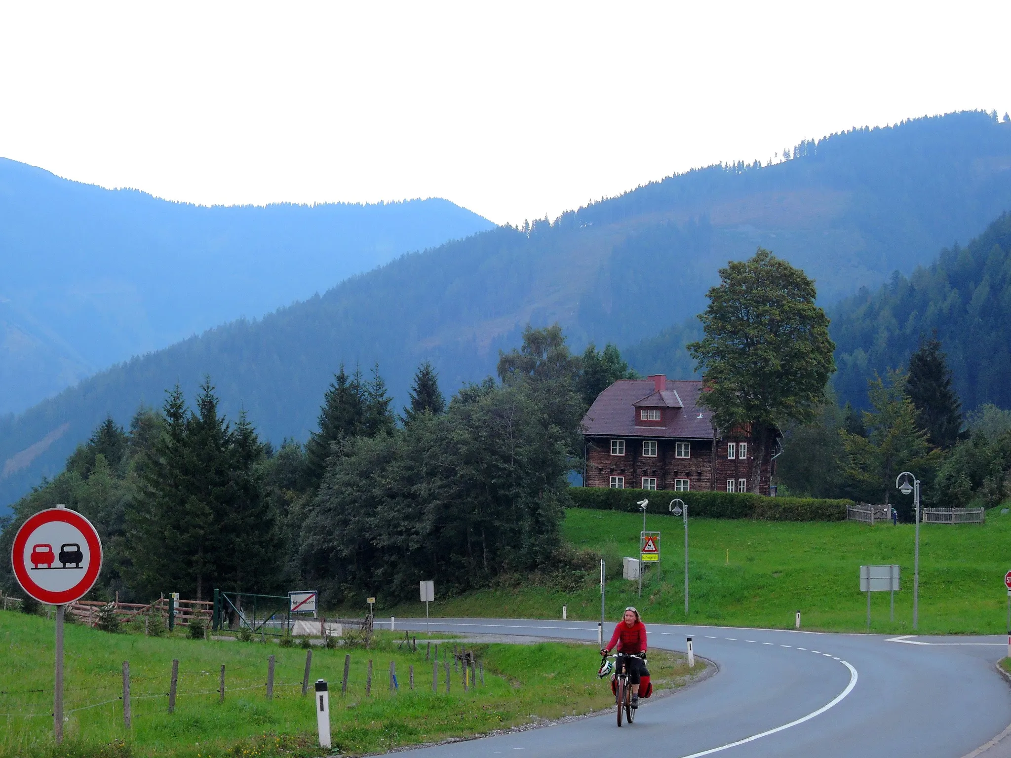
Start: Fohnsdorf Village centerFohnsdorf: Conquer the mountains of Fohnsdorf on your trusty bicycle
Fohnsdorf, located in Steiermark, Austria, is a cyclist's haven. The region boasts spectacular mountainous landscapes and well-maintained cycling routes. As a road and gravel cyclist, you will be captivated by the challenging climbs and panoramic views that Fohnsdorf has to offer. The Mur Cycle Path, a popular cycling route in the area, provides cyclists with a delightful journey along the Mur river. Fohnsdorf is a top choice for cyclists seeking an adrenaline-pumping and picturesque cycling experience.7 km
7 km
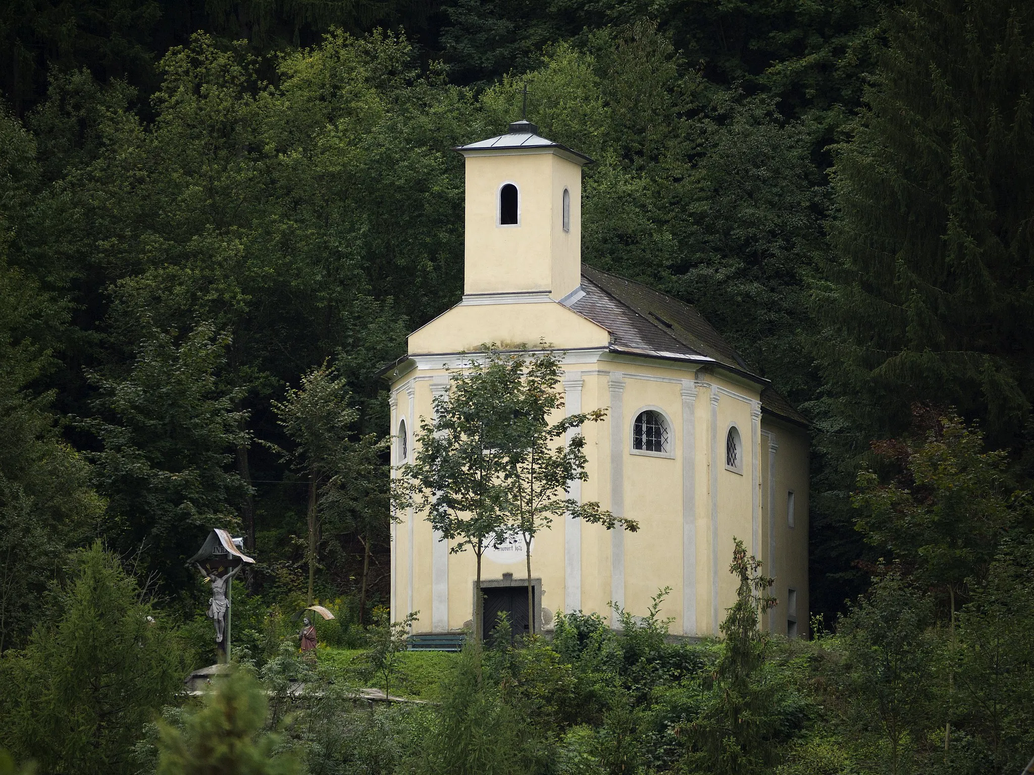
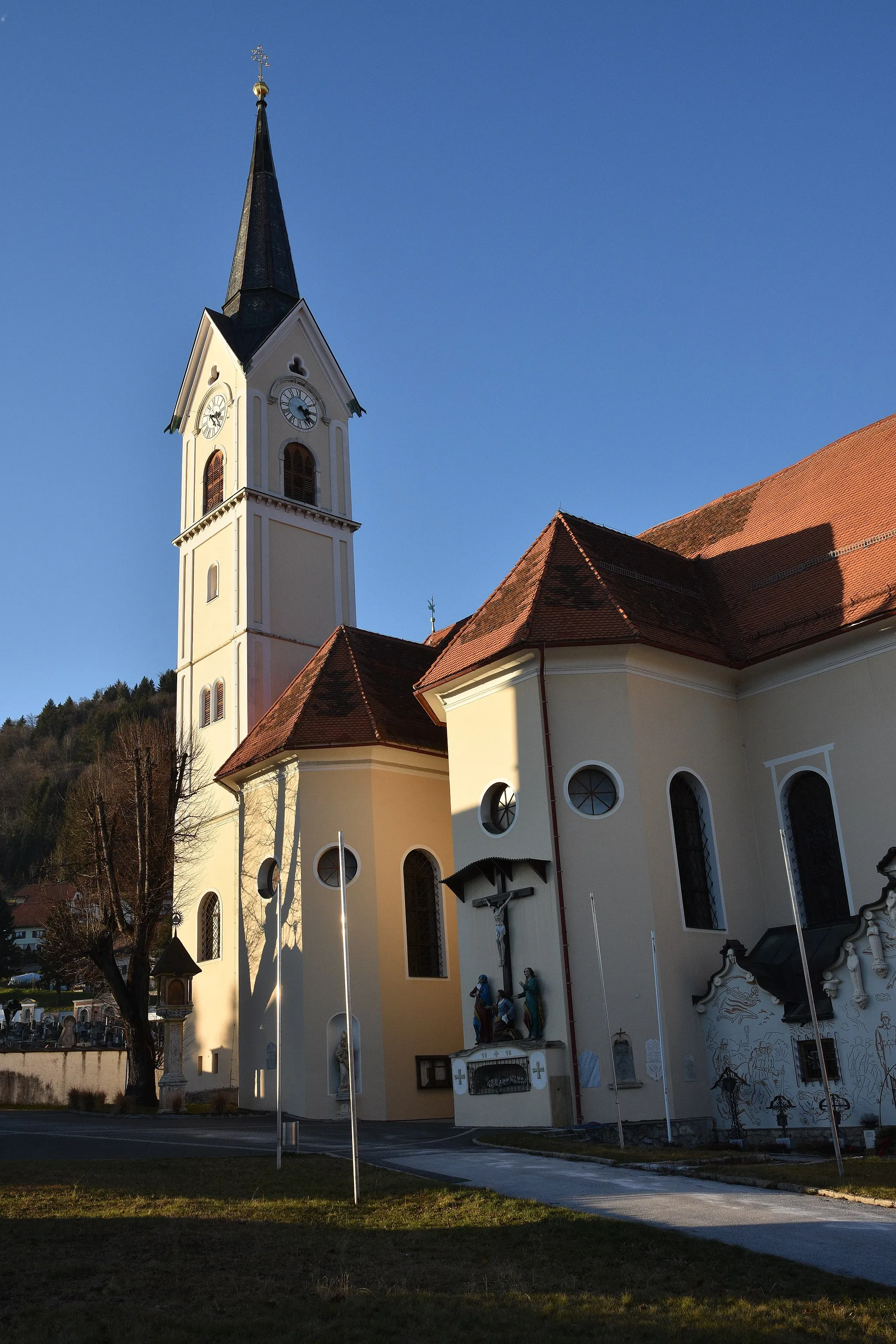
PölsVillagePöls is known for its beautiful castle and quaint town center.
14 km
14 km
Franz-Josephs-Höhe1033 mPeakFranz-Josephs-Höhe offers incredible views of the surrounding mountains.
38 km
38 km
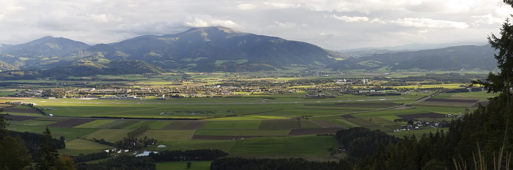
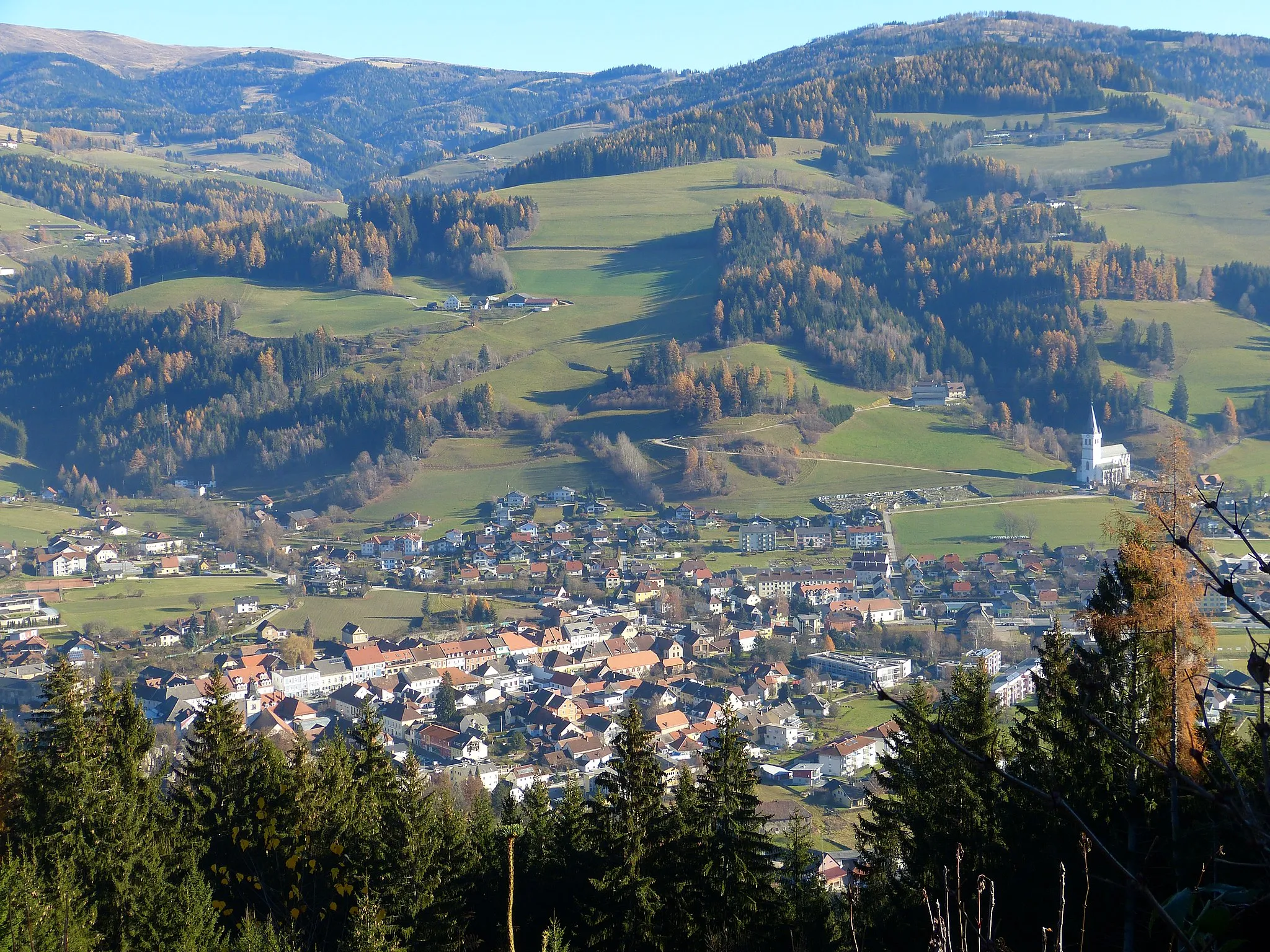
HohentauernVillageHohentauern is a stunning alpine village surrounded by peaks.
38 km
38 km
Wirtsgupf1627 mPeakWirtsgupf is a hill with a scenic lookout point offering panoramic views.
51 km
51 km
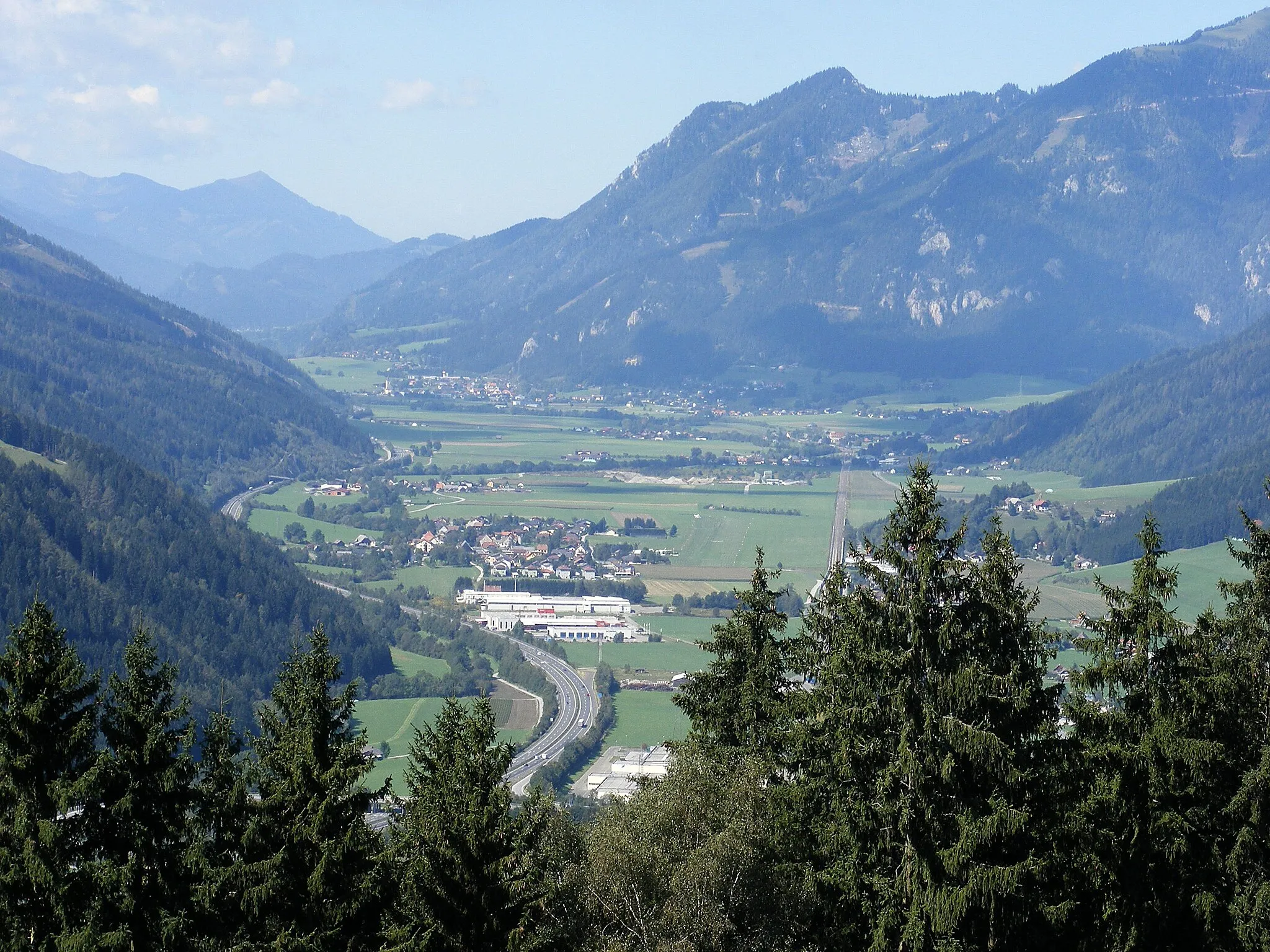
Gaishorn am SeeVillageGaishorn am See is a picturesque lake situated in a mountainous setting.
63 km
63 km
Wald am SchoberpaßVillageWald am Schoberpaß is a small village known for its charming architecture.
64 km
64 km
Baierhubermauer1335 mPeakBaierhubermauer is a rock formation popular among hikers and climbers.
75 km
75 km
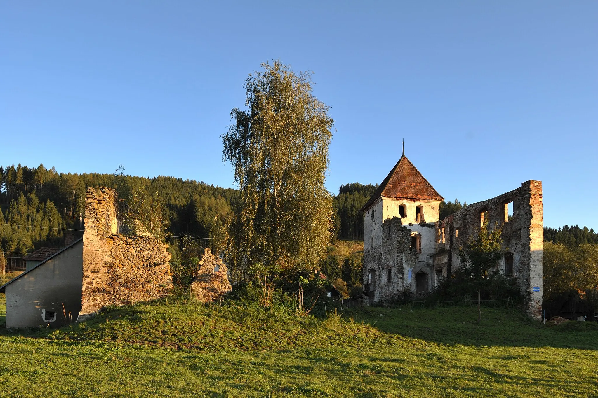
Rabenstein1031 mPeakRabenstein is famous for its impressive castle ruins.
83 km
83 km
Kammern im LiesingtalVillageKammern im Liesingtal offers beautiful nature trails and historic landmarks.
94 km
94 km
Liesingberg869 mPeakLiesingberg is a hill with scenic views of the surrounding countryside.
102 km
102 km
Kraubath an der MurVillageKraubath an der Mur is a charming town with a rich mining history.
110 km
110 km
Sulzberg711 mPeakSulzberg is a traditional village with a cozy atmosphere.
129 km
129 km
Finish: Fohnsdorf Village centerFohnsdorf: Conquer the mountains of Fohnsdorf on your trusty bicycle
Cycling routes nearby: