Innsbruck and The Brenner Pass
A gravel cycling route starting from Hoetting
Cycling through the scenic landscapes of Innsbruck and The Brenner Pass
Map
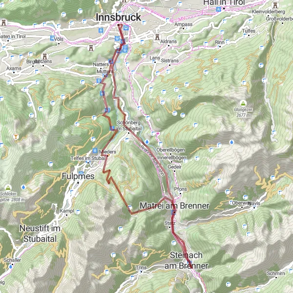
This route takes you through some of the most picturesque landscapes in the region, starting from Hötting. The ascent of 1876 meters over a distance of 59 kilometers might be challenging, but it is well worth the effort. Highlights along the route include stops at Innsbruck, Bergisel, Mieders, Kalvarienberg, Waldraster Jöchl, Matrei am Brenner, Steinach am Brenner, Mühlbachl, and the Europa bridge view. The difficulty level of this route is rated as 4, suitable for well-trained amateurs. With an epicness rating of 4, it promises an unforgettable cycling experience.
gravel
59 km
1876 m
Tough
Route profile
Highlights on the route
0 km
0 km
Start: Innsbruck City centerHötting: Conquer the Austrian Alps in Hötting, Austria
Hötting is a locality in Tirol, Austria. From a cyclist's perspective, Hötting offers a variety of cycling routes suitable for both road and gravel cyclists. The area is surrounded by stunning mountain landscapes, which provide challenging climbs and rewarding descents. Cyclists can explore the scenic alpine roads and enjoy panoramic views. Hötting is a great region for cyclists looking to experience the beauty of the Austrian Alps.0 km
0 km
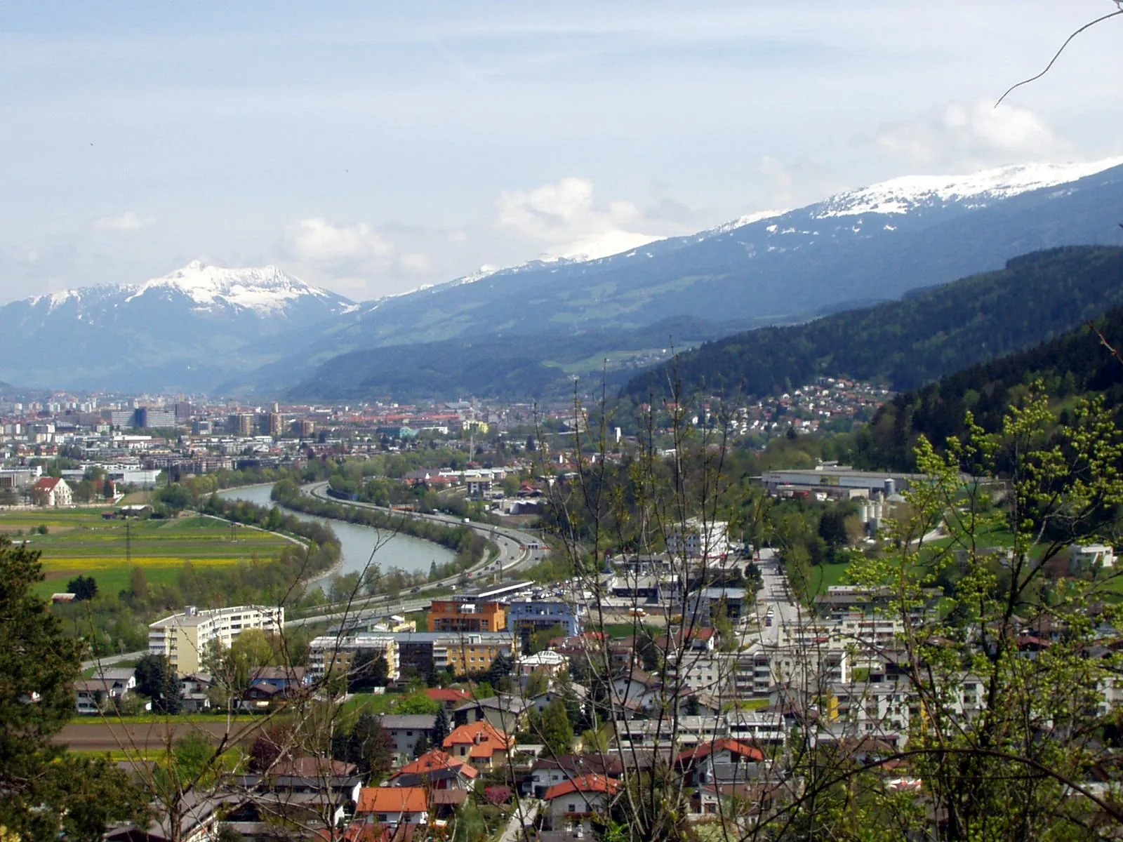
InnsbruckCityLocated in the heart of the Austrian Alps, Innsbruck offers stunning panoramic views and a rich cultural heritage.
2 km
2 km
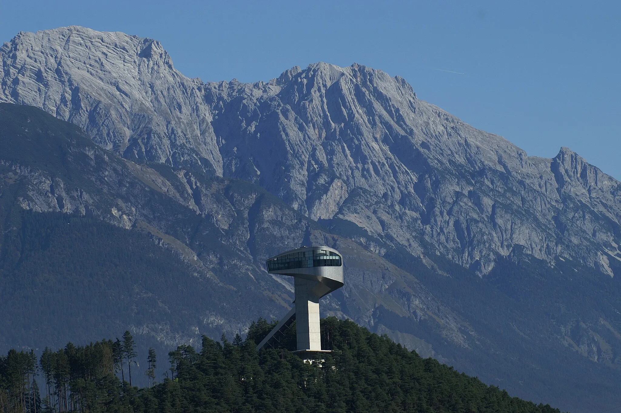
Bergisel746 mPeakBergisel ski jump is a iconic spot and offers a breathtaking view of Innsbruck.
15 km
15 km
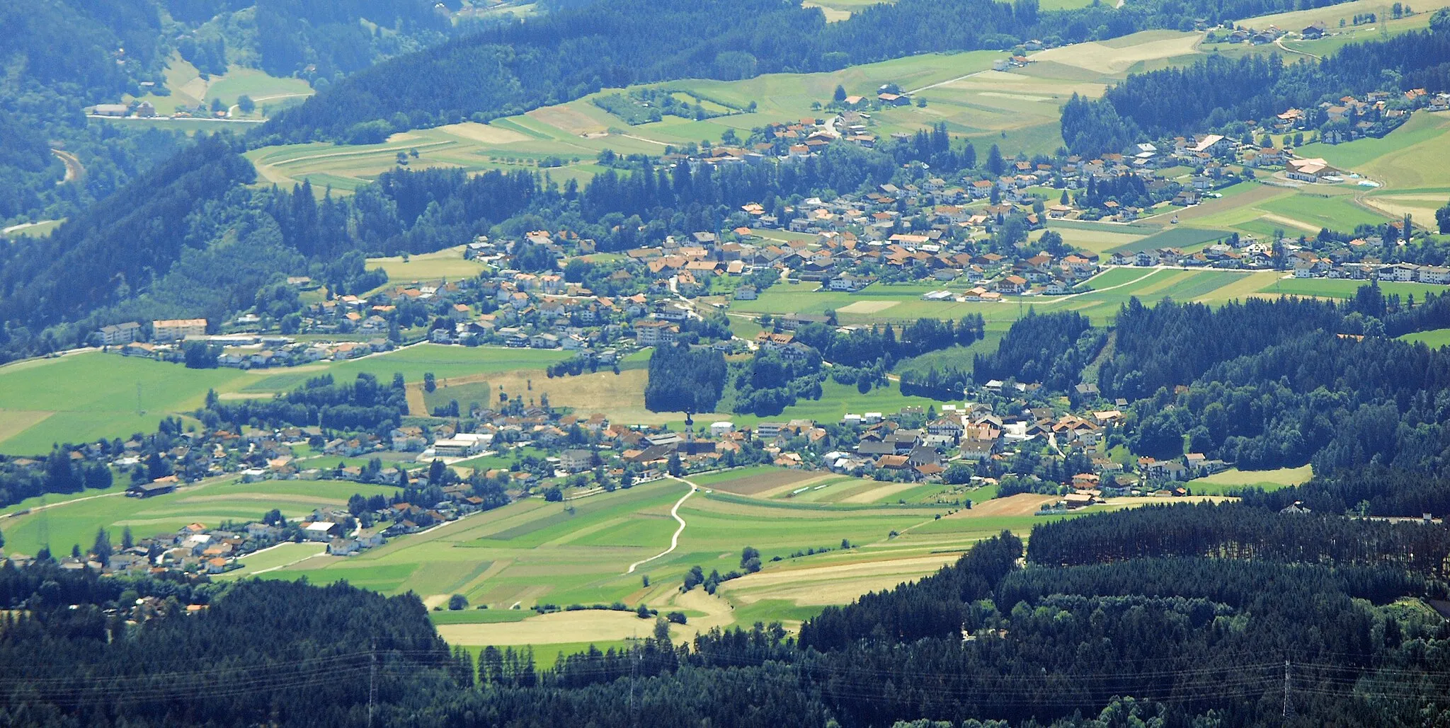
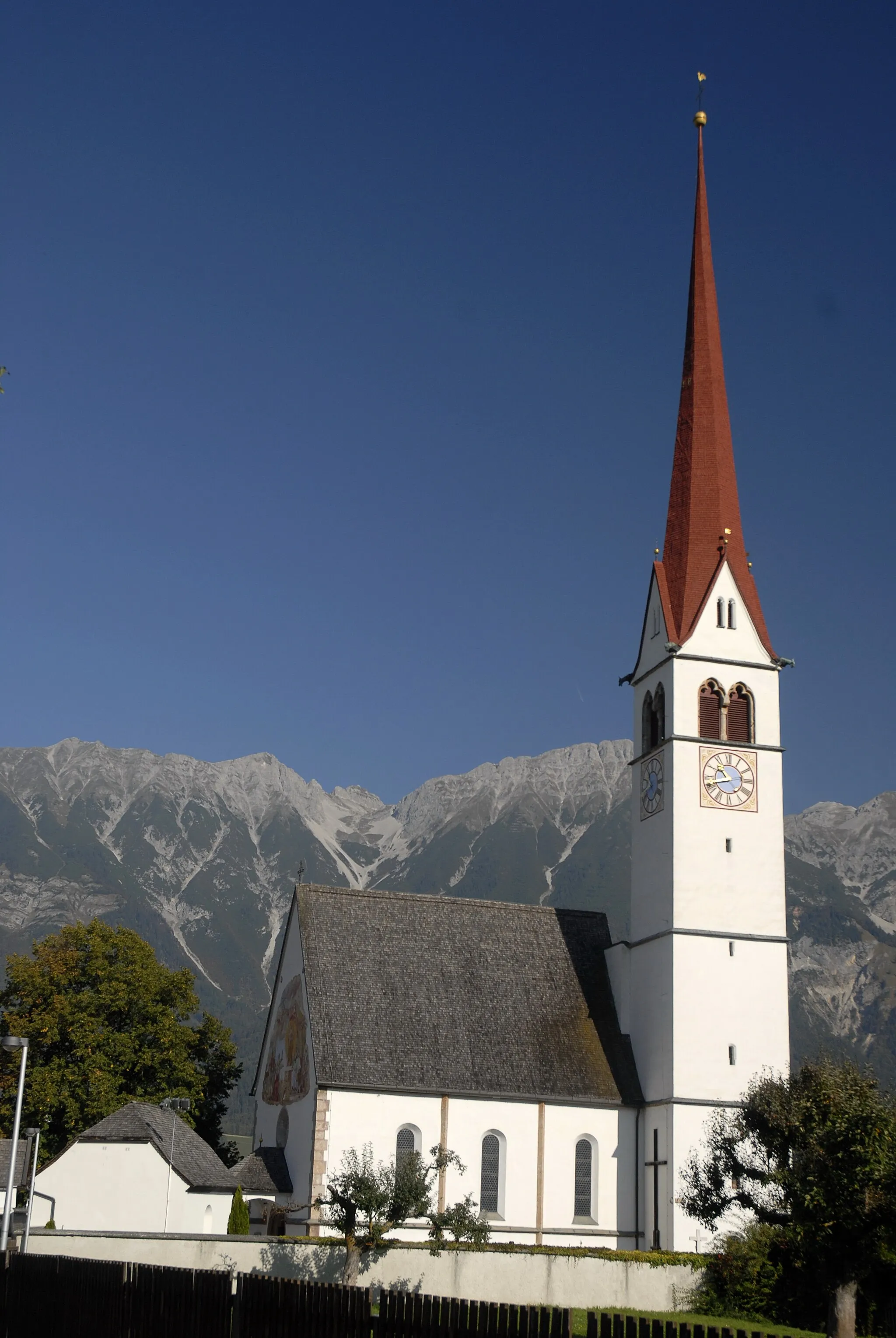
MiedersVillageMieders is a charming village known for its natural beauty and traditional architecture.
15 km
15 km
KalvarienbergViewpointKalvarienberg is a hill offering a beautiful viewpoint and a spiritual pilgrimage site.
22 km
22 km
Waldraster Jöchl1878 mPeakWaldraster Jöchl is a mountain pass offering stunning views of the surrounding valleys.
28 km
28 km
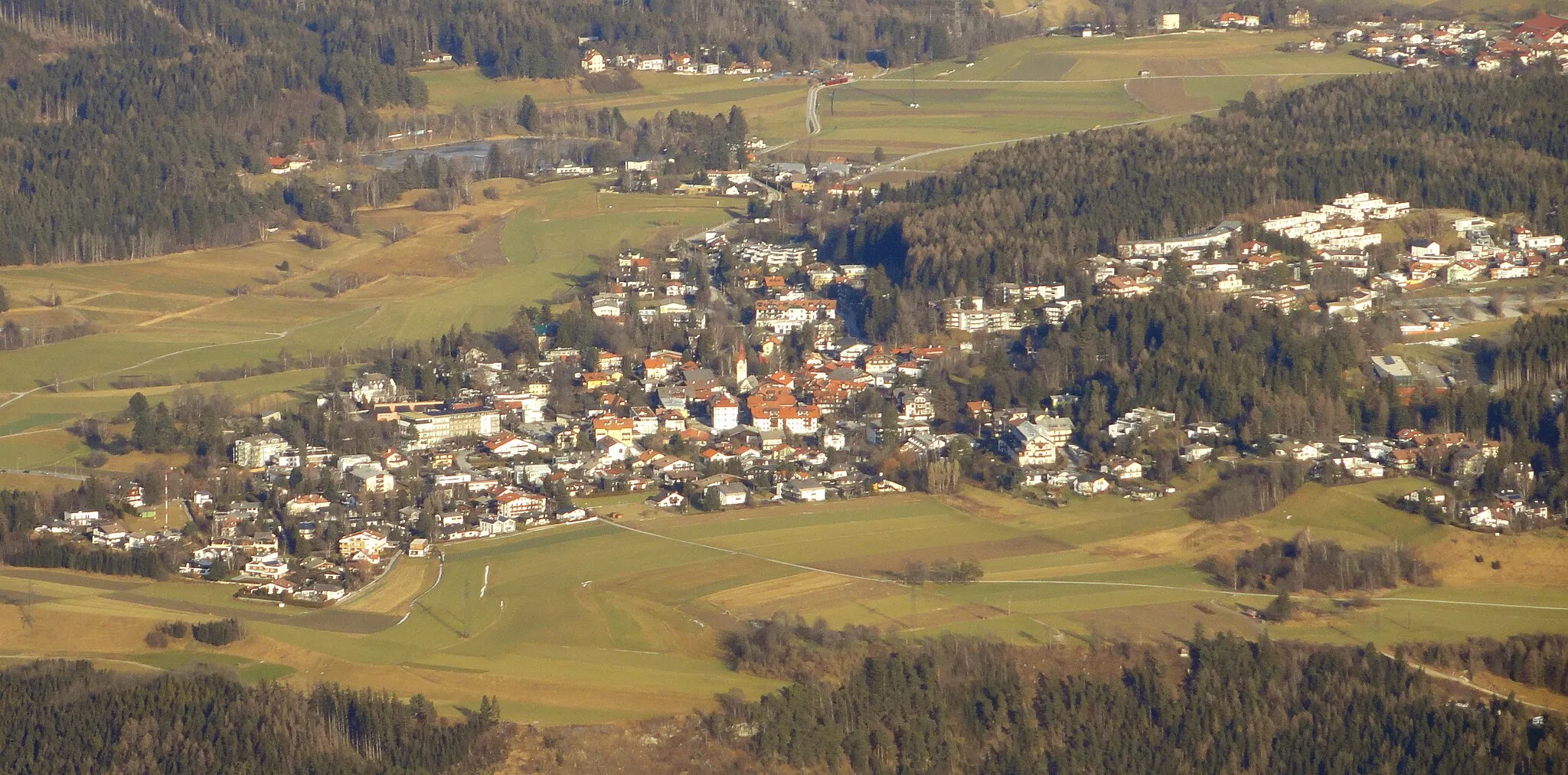
Matrei am BrennerTownMatrei am Brenner is a scenic town located in the heart of the Brenner Pass, perfect for a rest stop and refuel.
35 km
35 km
Steinach am BrennerTownSteinach am Brenner is a charming village with historic buildings and beautiful nature.
40 km
40 km
MühlbachlVillageMühlbachl is a small picturesque village known for its traditional Austrian charm.
50 km
50 km
Europa bridge viewViewpointThe Europa bridge view offers breathtaking views of the iconic bridge and the surrounding nature.
59 km
59 km
St. Anne's ColumnAttractionSt. Anne's Column is a historical landmark located in a scenic square in Steinach am Brenner.
59 km
59 km
Finish: Innsbruck City centerHötting: Conquer the Austrian Alps in Hötting, Austria
Cycling routes nearby: