Nassereith to Schloss Fernstein
A gravel cycling route starting from Nassereith
Cycling route from Nassereith to Schloss Fernstein with stunning views and challenging terrain
Map
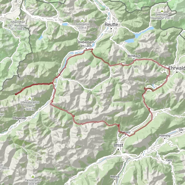
This round-trip cycling route starting near Nassereith takes you through some of the most scenic areas in Tirol, Austria. With a total distance of 118 kilometers and an ascent of 3298 meters, this gravel route offers a challenging adventure for well-trained amateur cyclists. The route passes through highlights such as the Hoher Übergang, Hahntennjoch, and Berwang, where you can enjoy breathtaking views of the surrounding mountains. The highlight of the route is the beautiful Schloss Fernstein, a medieval castle located at 96 kilometers, surrounded by picturesque landscapes.
gravel
118 km
3298 m
Tough
Route profile
Highlights on the route
0 km
0 km
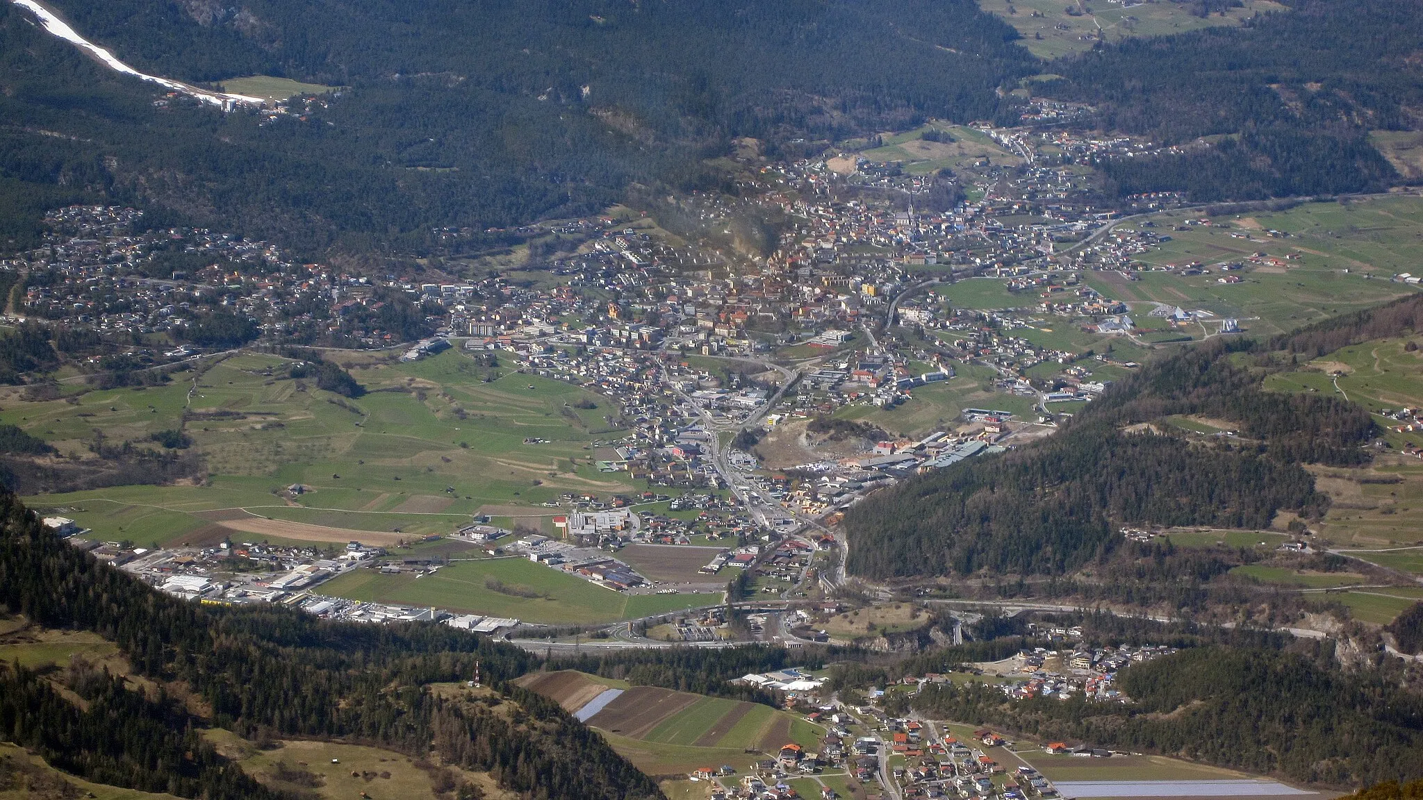
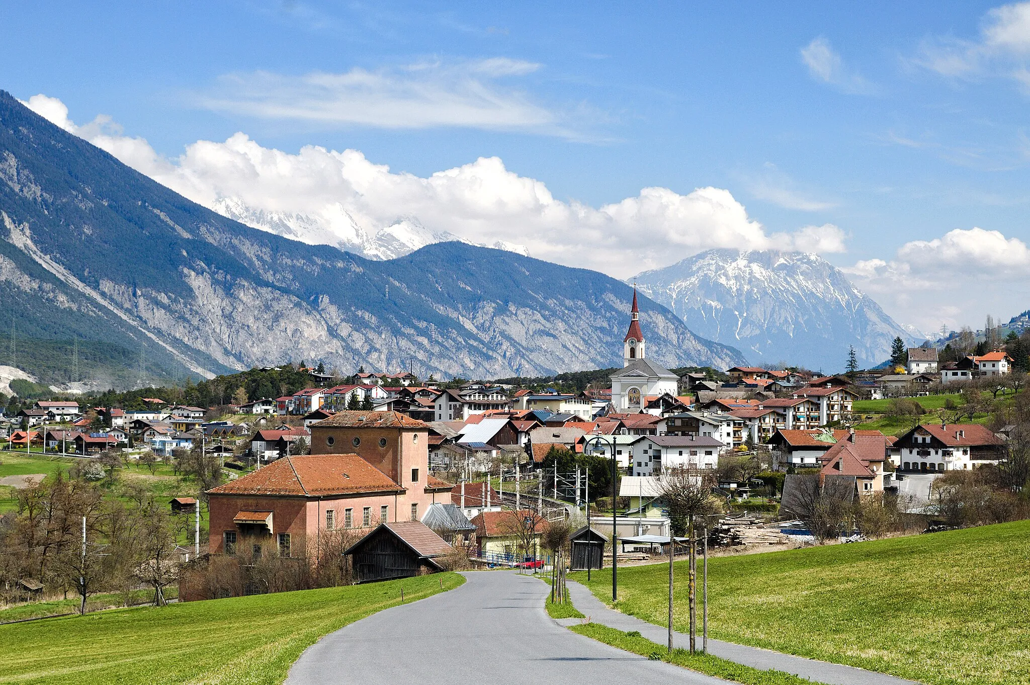
Start: Nassereith Village centerNassereith: Cycling Haven in Tirol, Austria
Nassereith in Tirol, Austria, is a wonderful locality for road and gravel cycling. The region offers stunning mountain landscapes and numerous cycling routes suitable for all skill levels. A well-known climb nearby is the Fernpass, which provides a thrilling challenge for cyclists. With its bike-friendly atmosphere and picturesque surroundings, Nassereith is a great destination for cycling and tourism.0 km
0 km
NassereithVillageNassereith, the starting point of the route, is a charming village known for its traditional Tyrolean architecture and natural beauty.
14 km
14 km
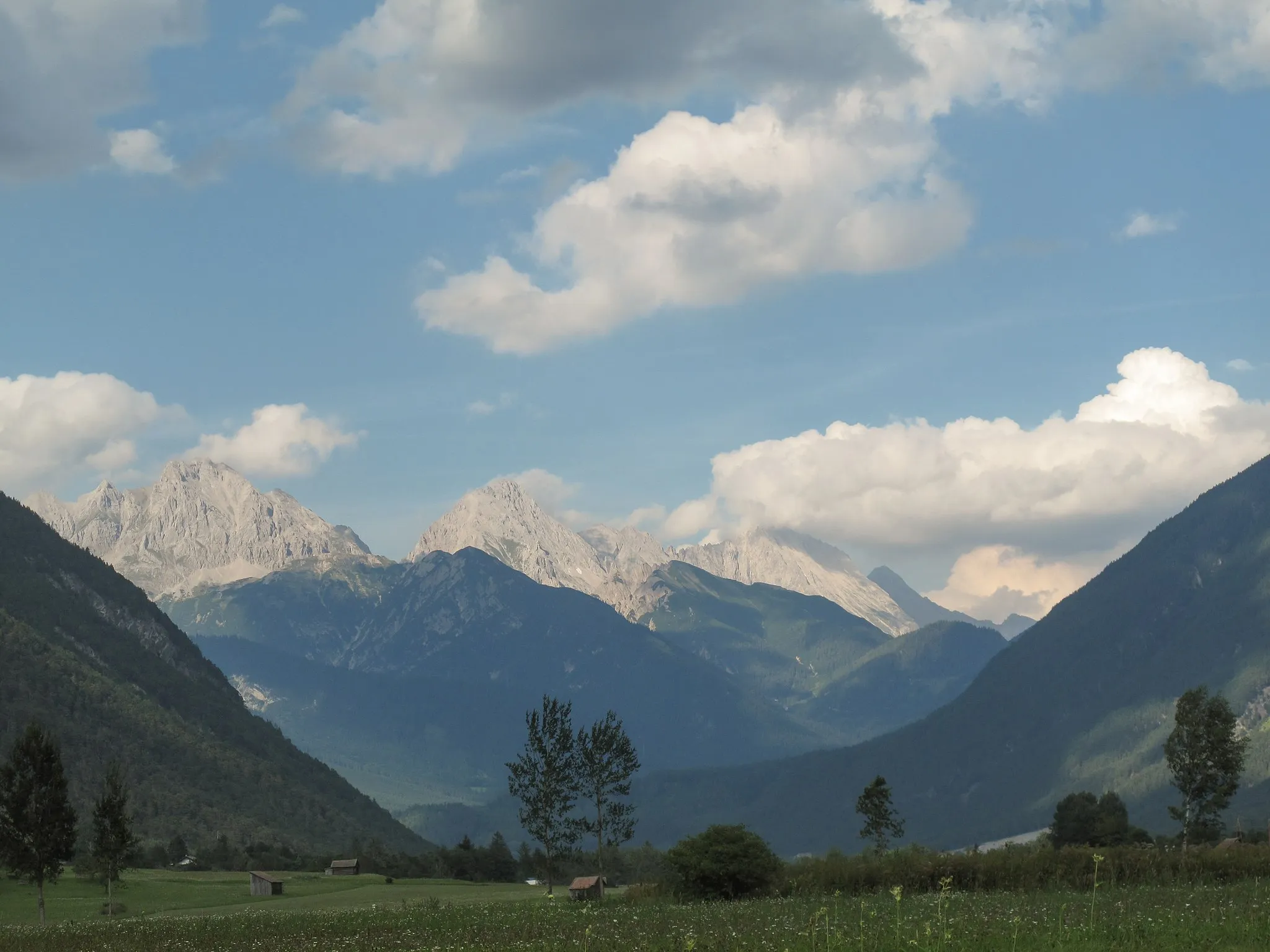
Hoher ÜbergangViewpointHoher Übergang, located at 14 kilometers, offers panoramic views of the surrounding mountains and valleys.
23 km
23 km
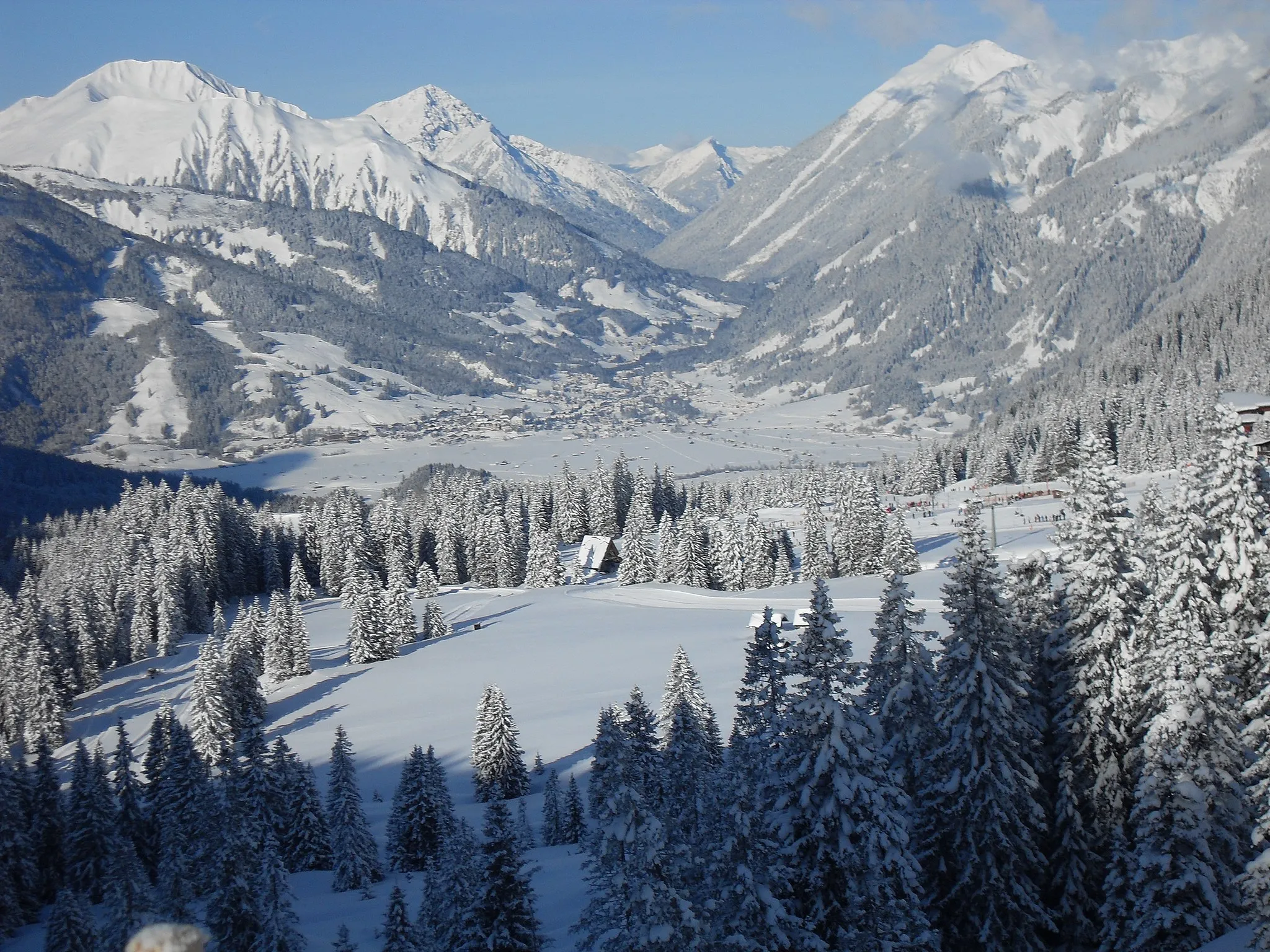
Hahntennjoch1894 mMountain PassHahntennjoch is a legendary cycling spot known for its challenging ascent and breathtaking scenery.
32 km
32 km
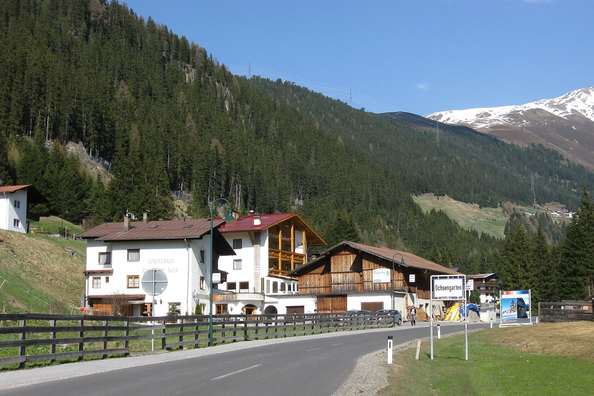
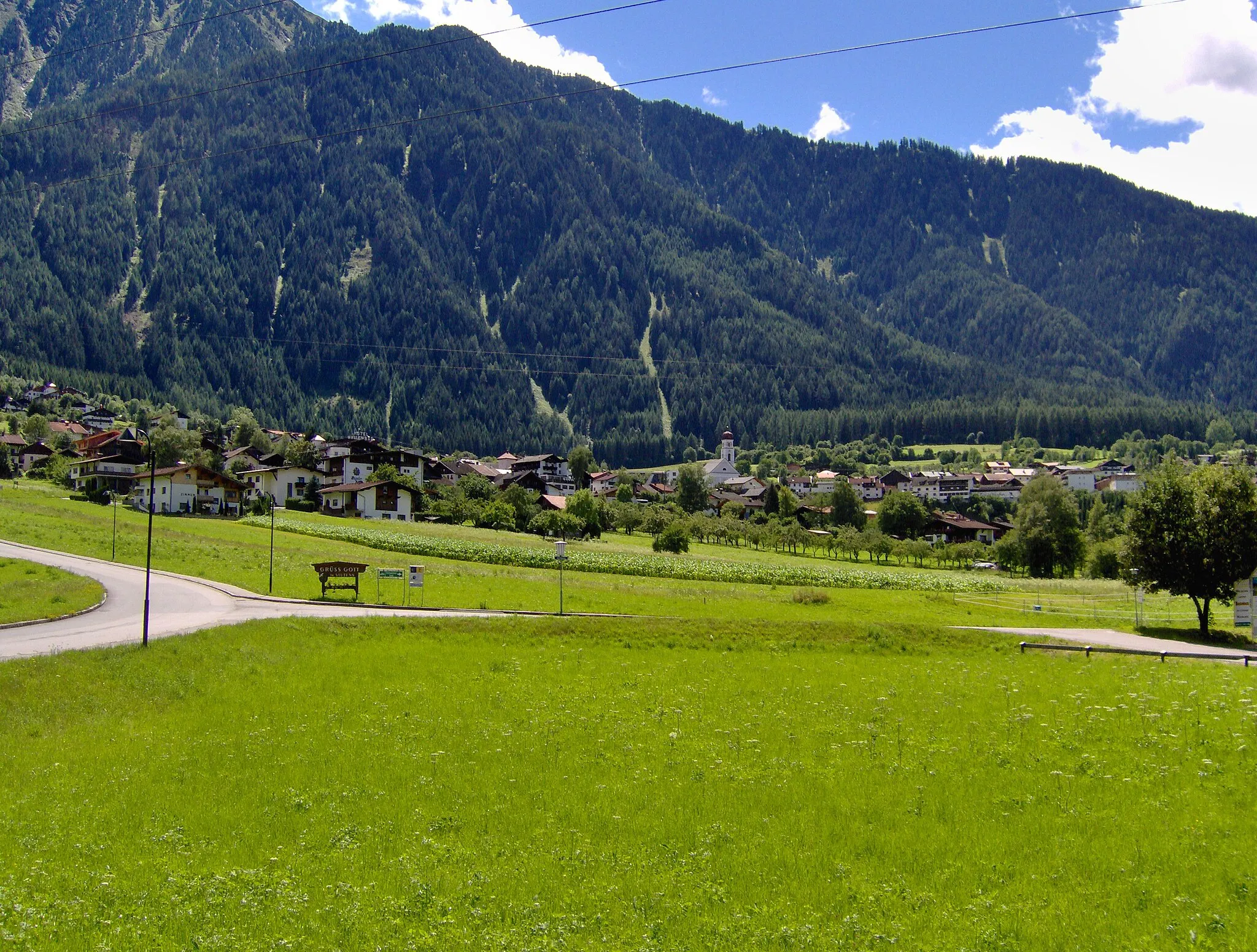
BschlabsVillageBschlabs is a small village known for its traditional Alpine architecture and stunning mountain views.
57 km
57 km
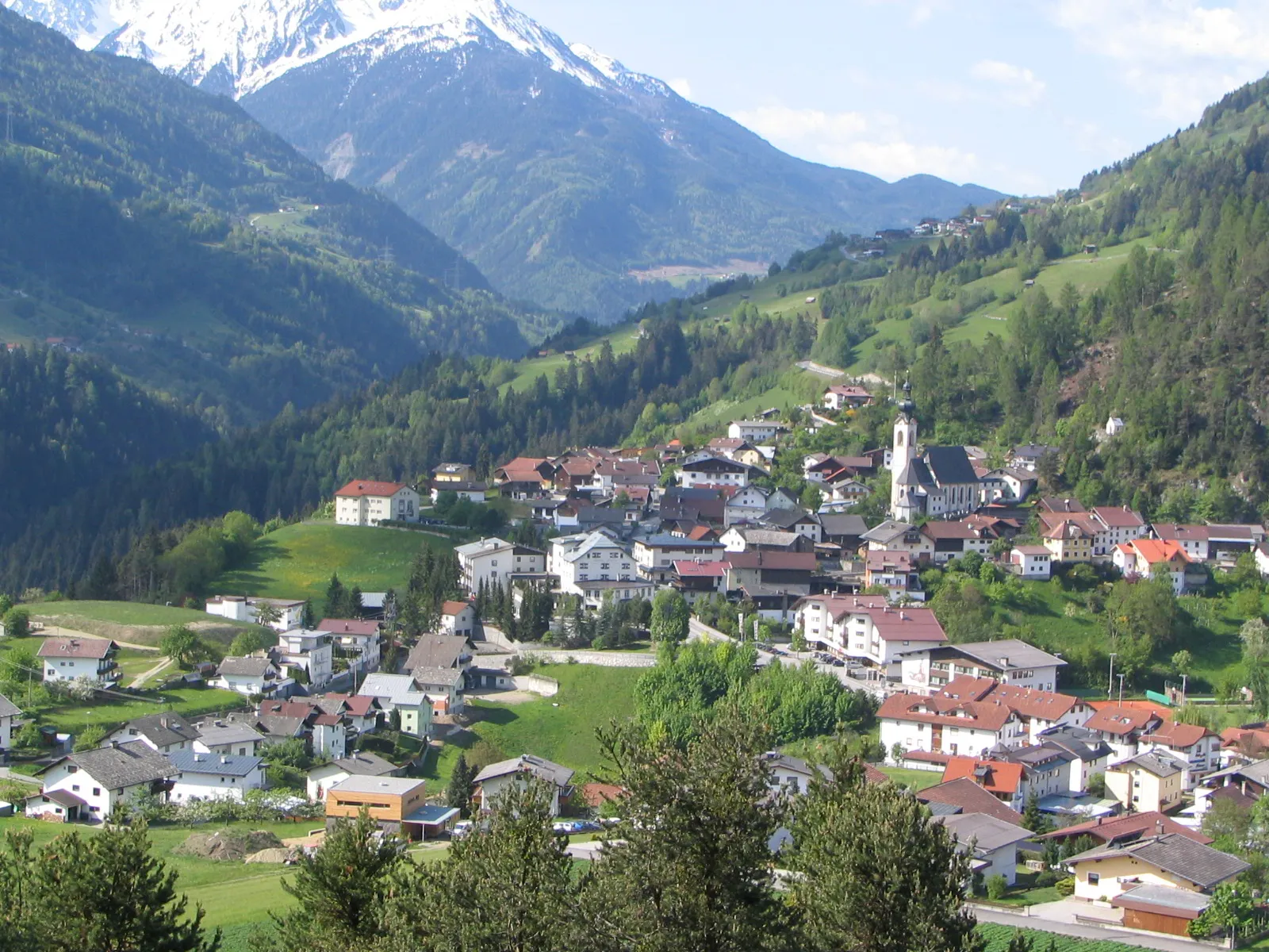
HinterhornbachVillageHinterhornbach is a scenic village located at 57 kilometers, known for its tranquil atmosphere and charming mountain huts.
66 km
66 km
Baichlstein1164 mPeak ViewpointBaichlstein, located at 66 kilometers, offers a picturesque setting with panoramic views of the surrounding nature.
71 km
71 km
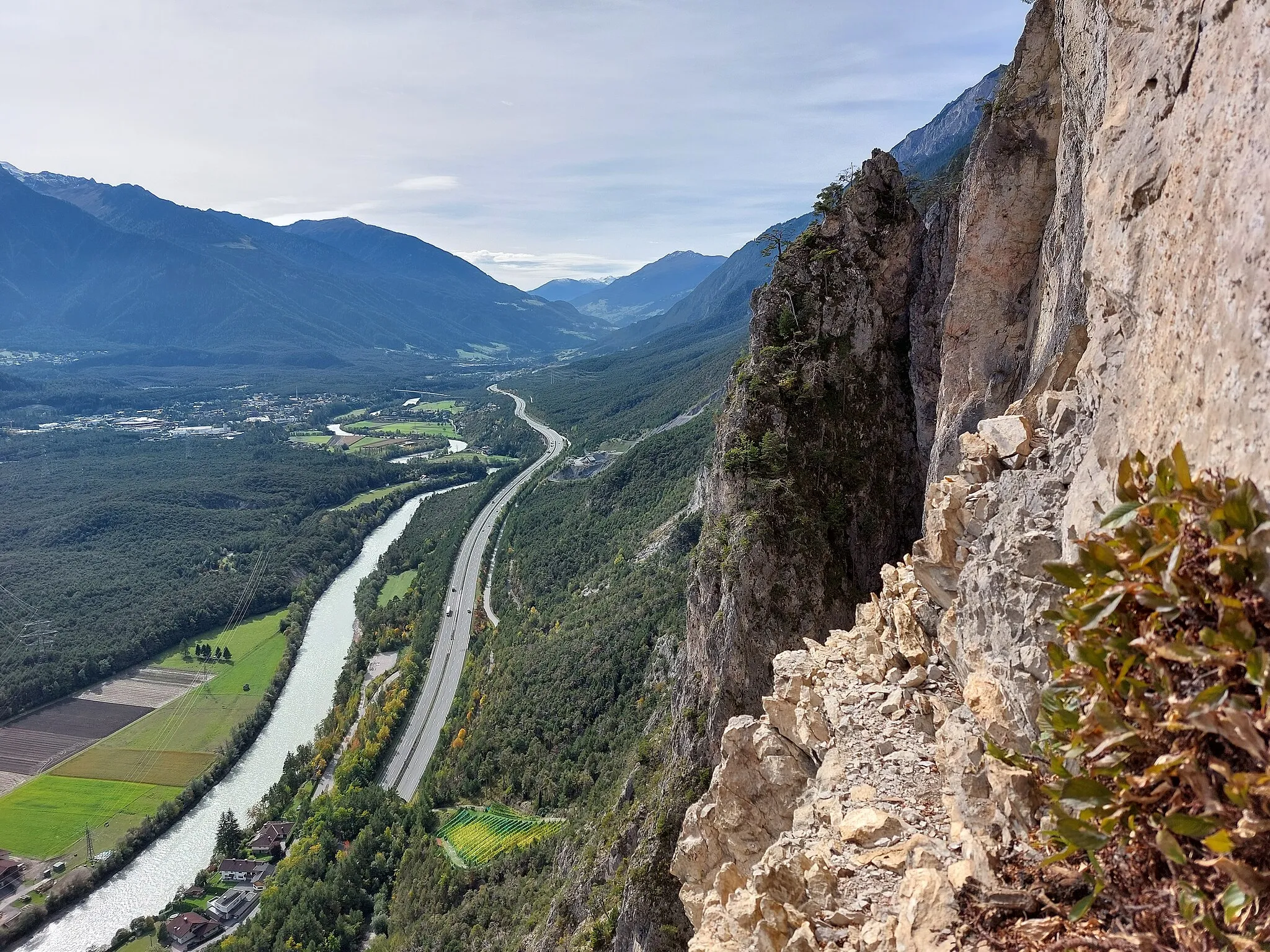
ForchachVillageForchach is a small village situated at 71 kilometers, known for its stunning alpine landscapes and traditional charm.
88 km
88 km
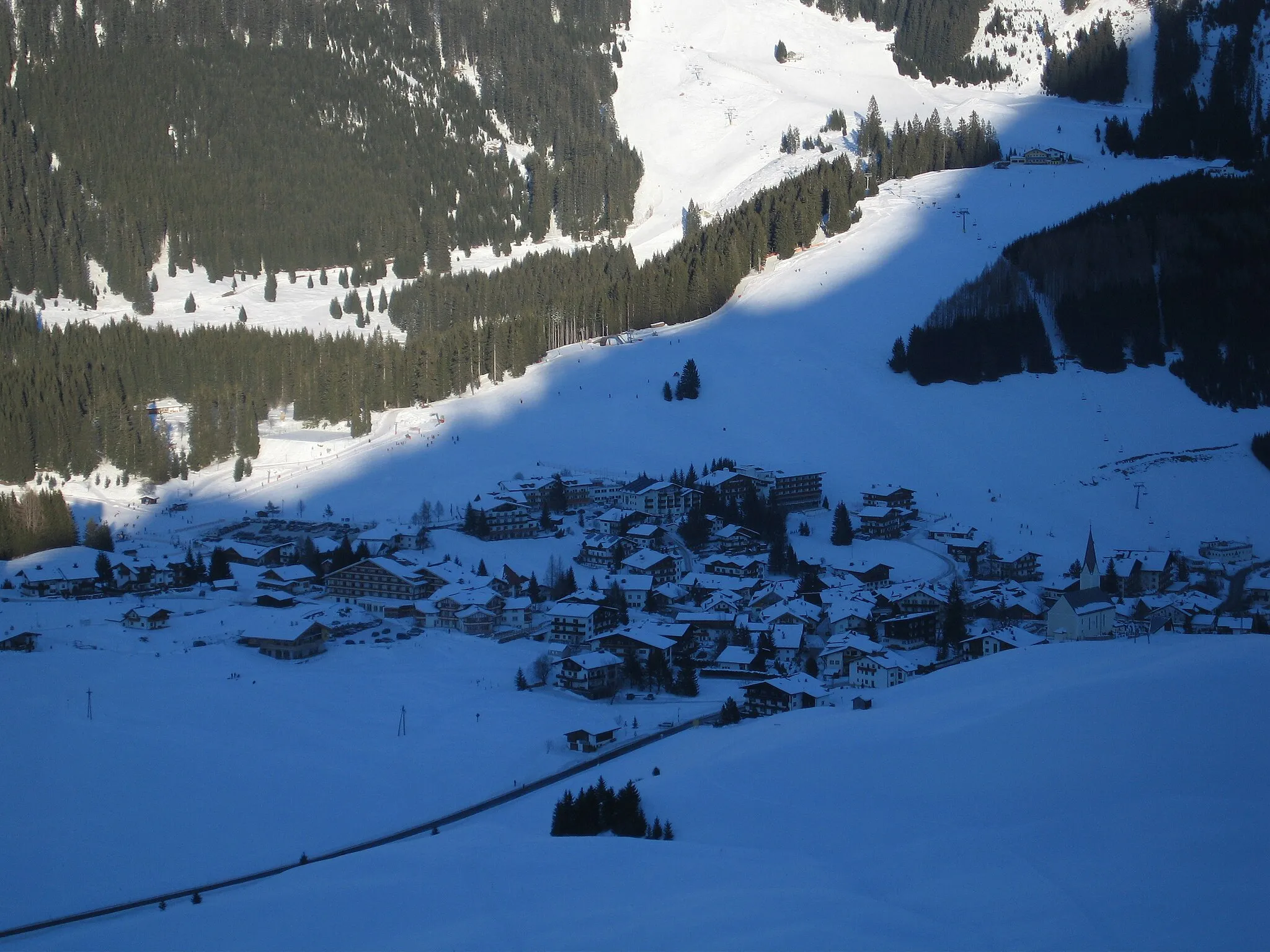
BerwangVillageBerwang is a popular tourist destination with beautiful hiking trails, alpine meadows, and scenic views.
96 km
96 km
Sattel1110 mMountain PassSattel, located at 96 kilometers, offers captivating views of the nearby peaks and a peaceful atmosphere.
110 km
110 km
ZugspitzblickViewpointZugspitzblick provides a panoramic view of the majestic Zugspitze, the highest mountain in Germany, located at 110 kilometers.
114 km
114 km
Schloss FernsteinCastleSchloss Fernstein, a medieval castle, is the highlight of the route. It offers a glimpse into the region's rich history and is surrounded by stunning natural beauty.
118 km
118 km
Finish: Nassereith Village centerNassereith: Cycling Haven in Tirol, Austria
Cycling routes from Nassereith:
Venture into Gravel Cycling Paradise Gravel Adventure in Tirol Nassereith to Tarrenz Explore the Beauty of Nassereith and Barwies Nassereith to Tarrenz Kühtai Conquer Hahntennjoch and Surrounds Scenic Road Cycling in Tirol Experience Mountainous Majesty Nassereith to Dormitz Nassereith to Schloss Fernstein
Cycling routes nearby: