Zirl - Mittenwald Road Tour
A road cycling route starting from Zirl
Embark on an epic road tour through picturesque landscapes
Map
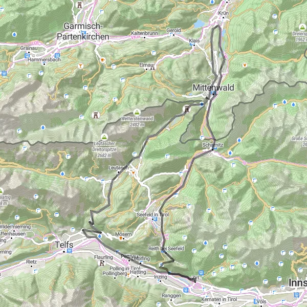
This 80 km long road route starting from Zirl takes you through beautiful landscapes and charming villages. The route is moderately difficult, with an ascent of 1414 meters. Along the way, you'll pass by the famous Zirler Berg, Pettnau, and Buchener Höhe. One of the highlights of this tour is the Porta Claudia, a historic gate that was once a toll station. The route offers scenic mountain views and a challenging climb at Seefelder Sattel.
road
80 km
1414 m
Tough
Route profile
Highlights on the route
0 km
0 km
Start: Zirl Village centerZirl: Cycling paradise in Tirol
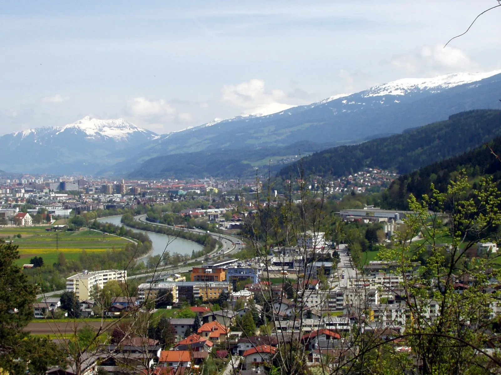
Zirl is a locality in Tirol, Austria. From a cyclist's perspective, Zirl offers a range of cycling options in the stunning alpine landscapes. The region is known for its challenging mountain climbs, such as the Zirlerberg. Zirl is also close to the famous climb up the Hafelekar in Innsbruck. With these renowned cycling spots nearby, Zirl is a popular destination for road cyclists seeking demanding climbs and breathtaking views. However, there are relatively fewer options for gravel cyclists in the area.1 km
1 km
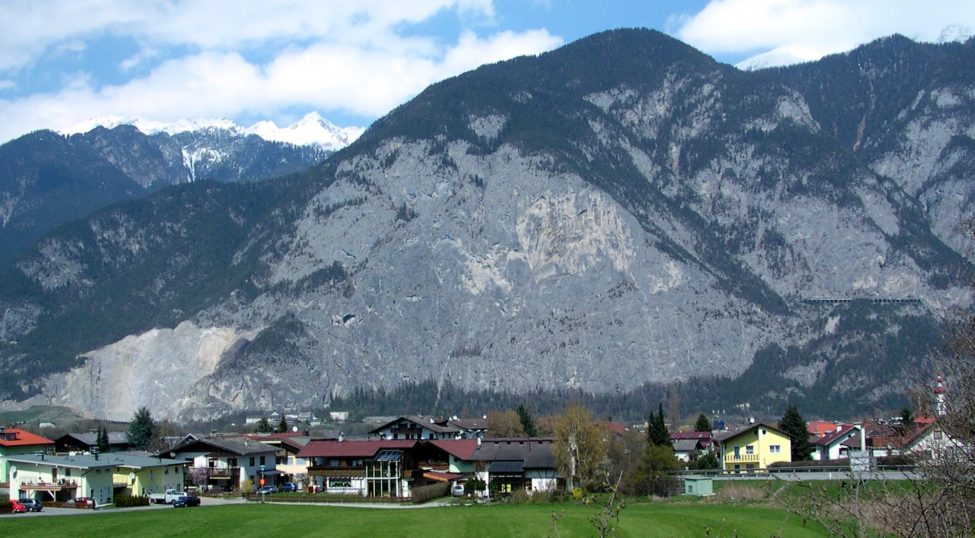
Zirler Berg1057 mPeak7 km
7 km
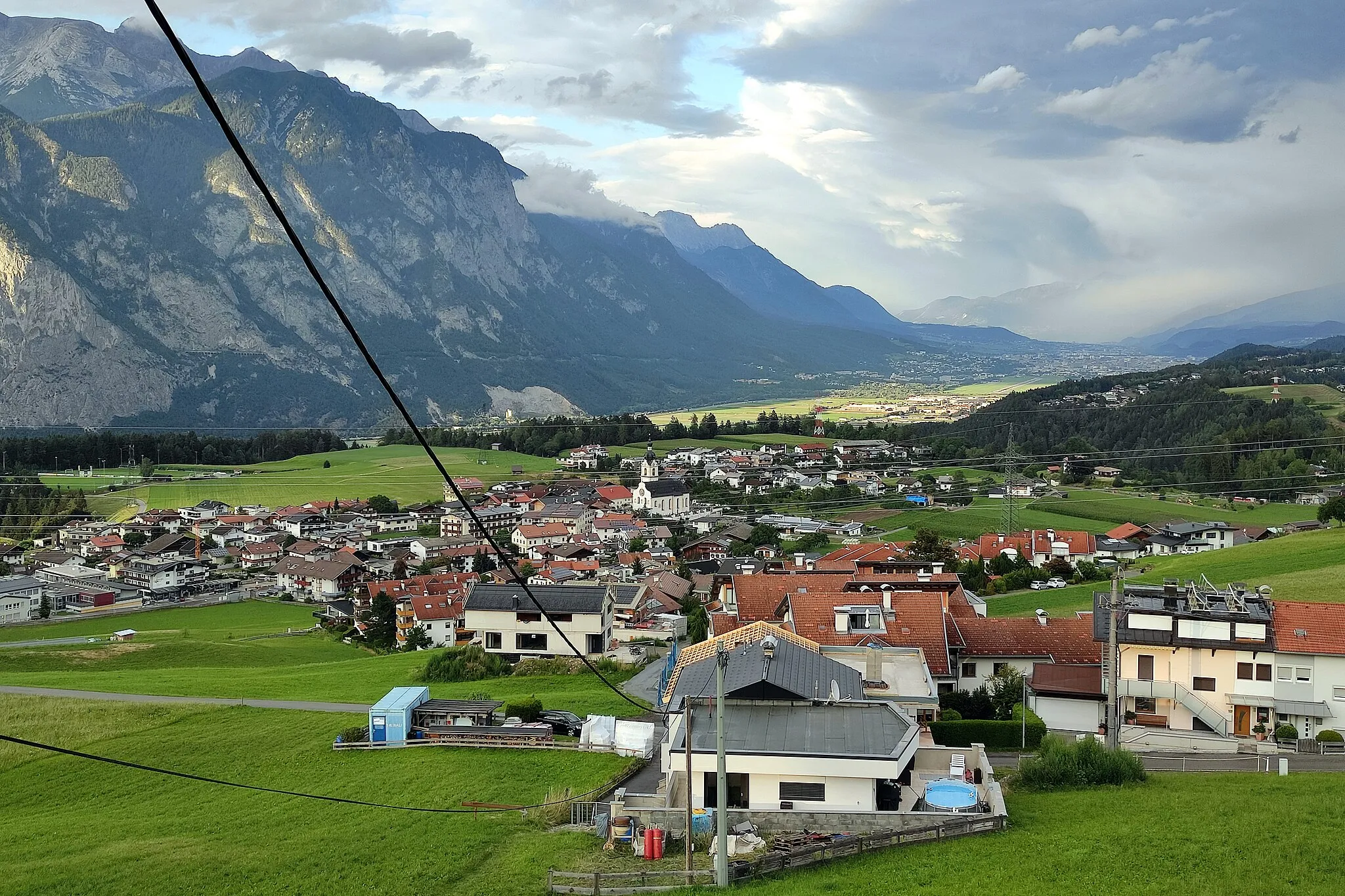
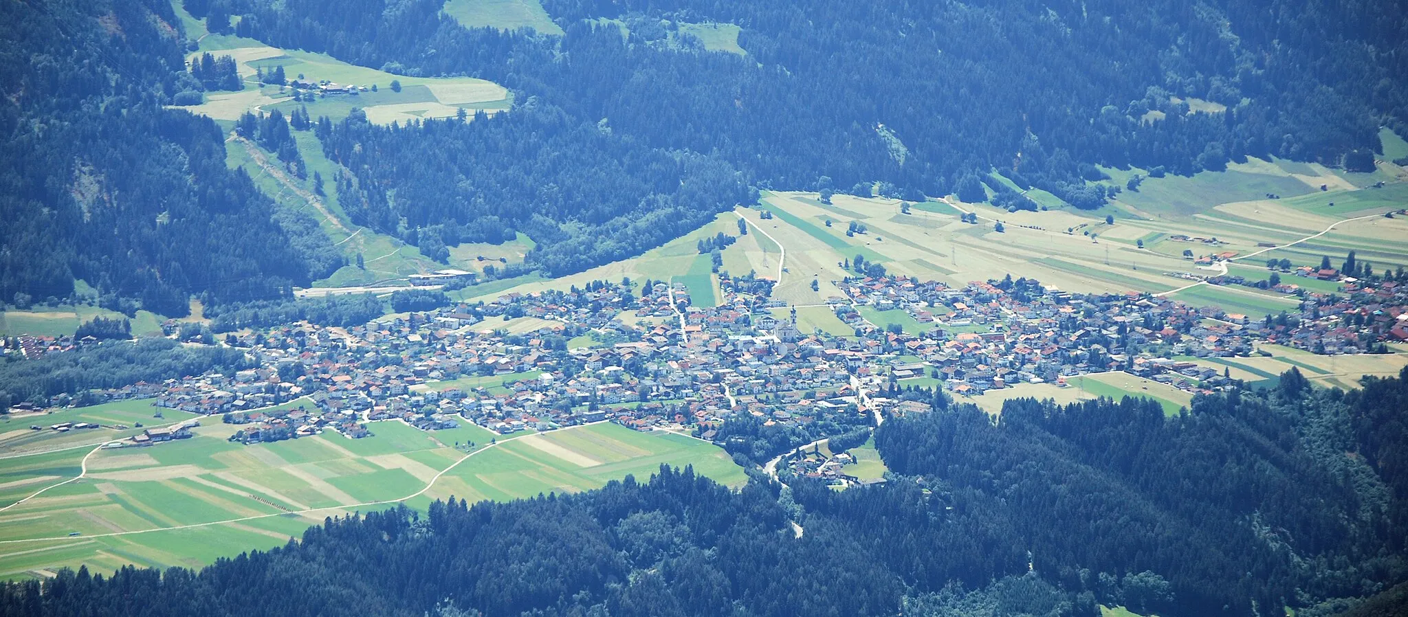
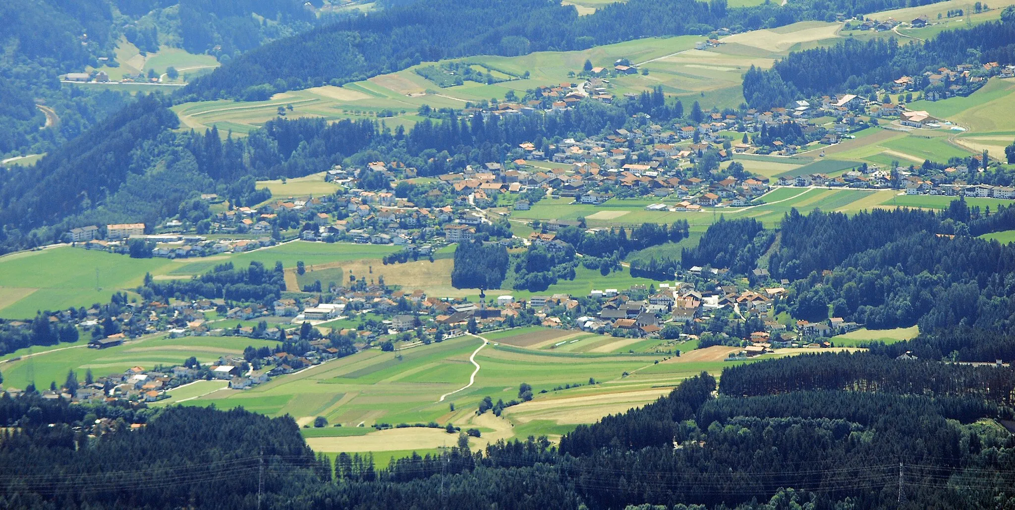
PettnauVillagePettnau is a picturesque village with traditional Tyrolean architecture.
20 km
20 km
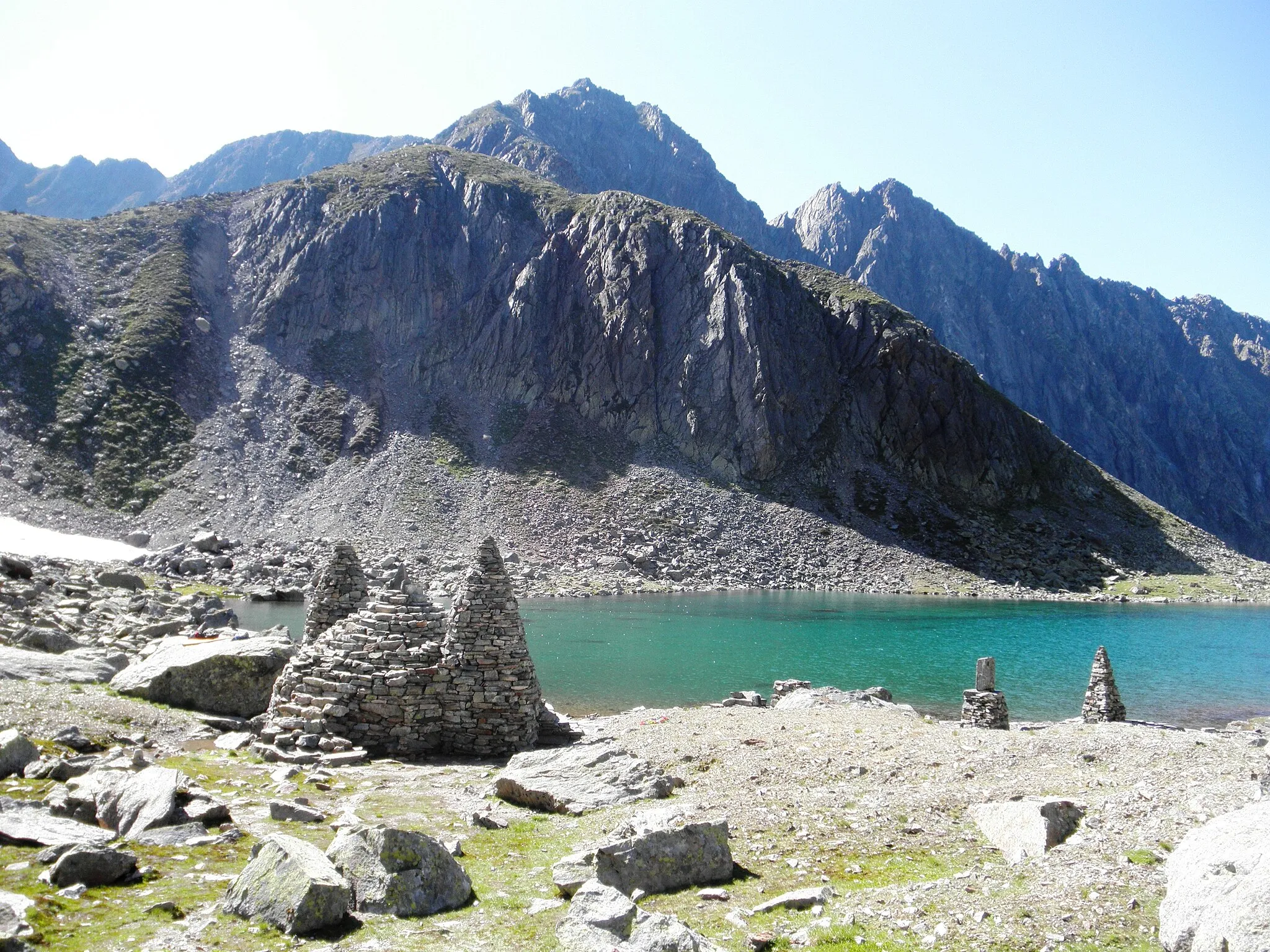
Buchener Höhe1247 mMountain PassBuchener Höhe offers stunning views of the surrounding mountains and valleys.
24 km
24 km
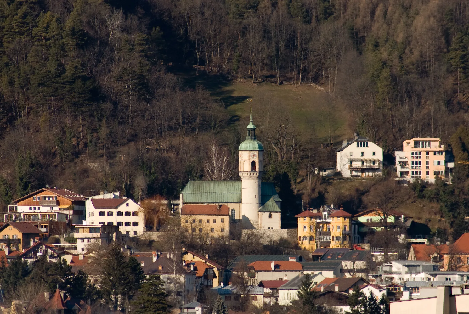
LeutaschVillageLeutasch is a charming village surrounded by the beautiful Leutasch Gorge.
34 km
34 km
Porta ClaudiaCastle RuinsPorta Claudia is a historic toll station that offers a glimpse into the region's rich history.
44 km
44 km
Hochreut953 mPeak52 km
52 km
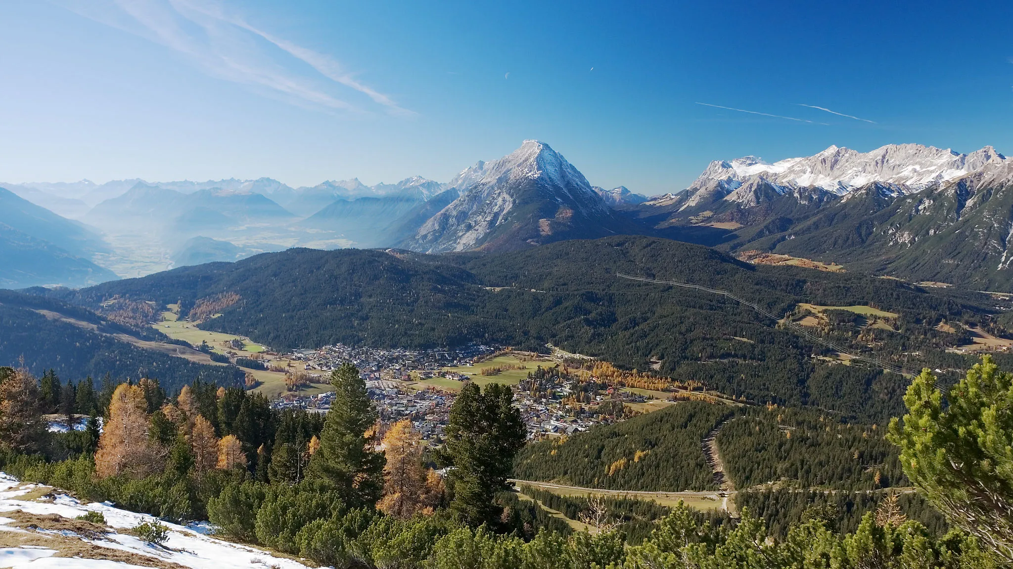
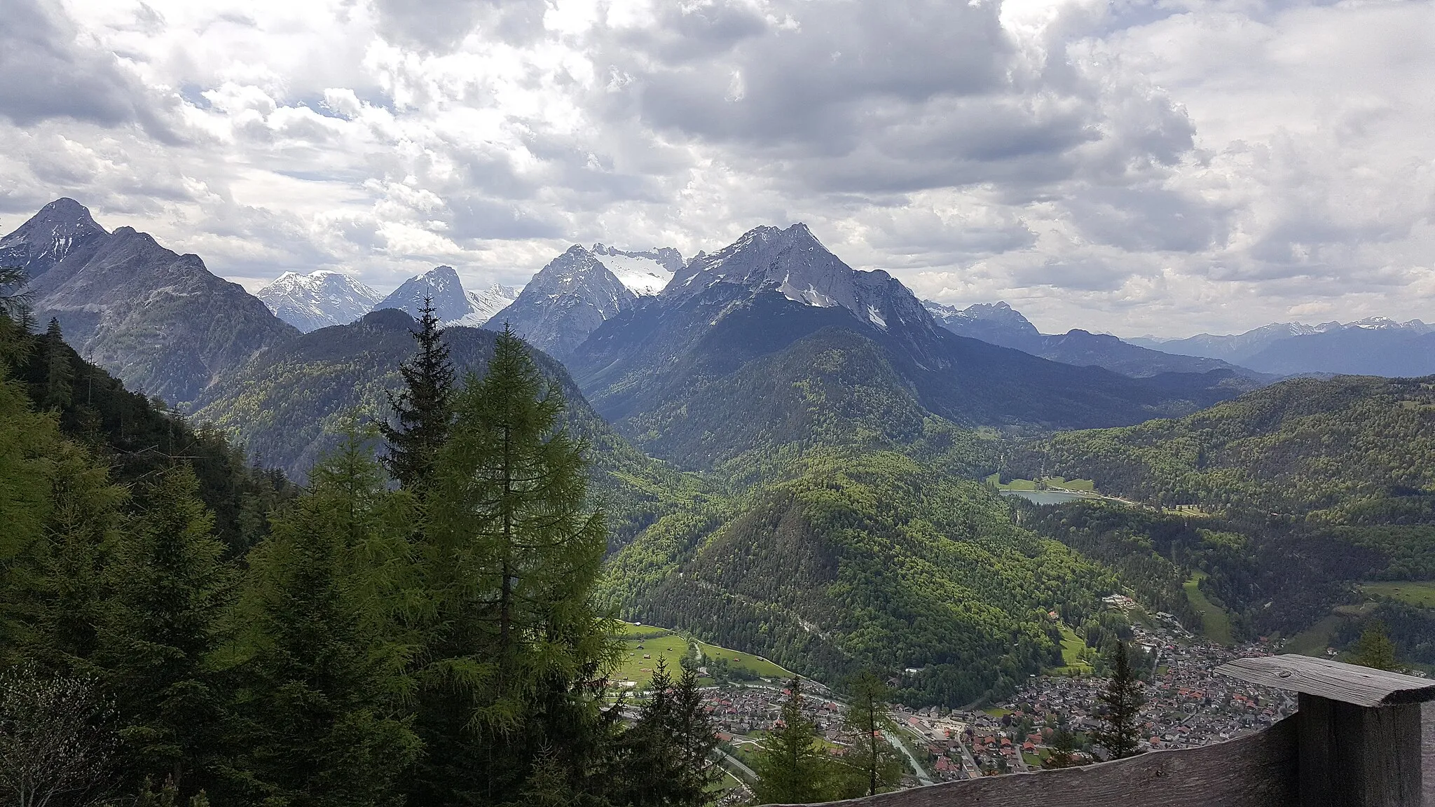
MittenwaldTownMittenwald is a picturesque town known for its well-preserved historic center.
59 km
59 km
KalvarienbergViewpoint70 km
70 km
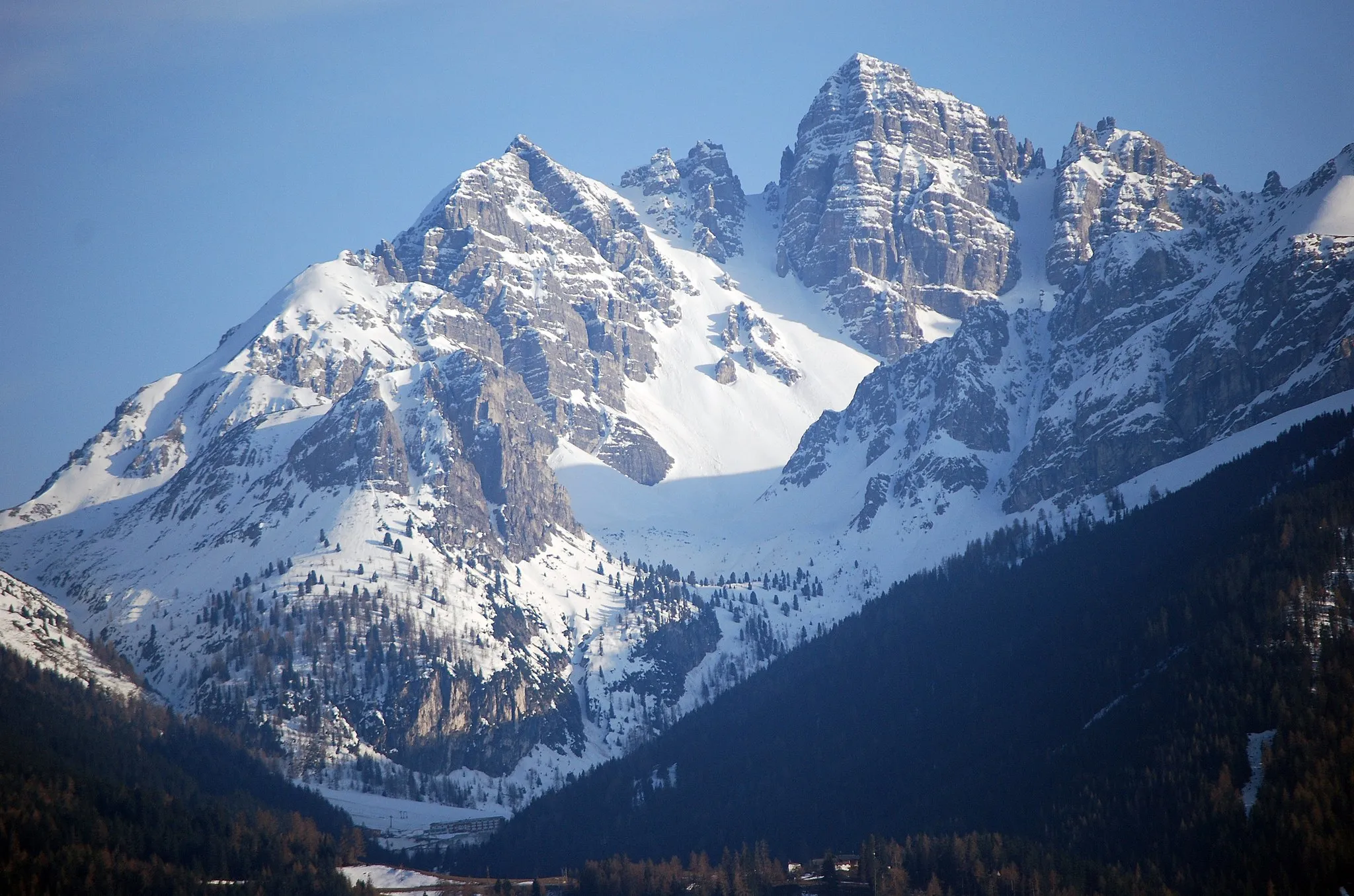
Seefelder Sattel1185 mMountain PassSeefelder Sattel offers stunning mountain views and a challenging climb.
72 km
72 km
Reith bei SeefeldVillageReith bei Seefeld is a charming village with traditional Tyrolean architecture.
80 km
80 km
Schöne AussichtViewpointSchöne Aussicht is a scenic viewpoint that offers breathtaking vistas of the surrounding landscapes.
80 km
80 km
Finish: Zirl Village centerZirl: Cycling paradise in Tirol
Cycling routes from Zirl:
Zirl - Karwendel Tour Zirl - Unterperfuss Loop Zirl - Mittenwald Road Tour Zirl - Inzing Road Tour Zirl - Karwendel Gravel Tour Gravel Loop: Zirl to Ruine Fragenstein Scenic Road Loop: Zirl to Reith bei Seefeld Challenging Road Loop: Zirl to Flaurling Gravel Adventure: Zirl to Seefeld in Tirol Ultimate Road Challenge: Zirl to Zirl
Cycling routes nearby: