Alpine Loop
A road cycling route starting from Hittisau
Embark on an alpine adventure on this challenging road cycling route
Map
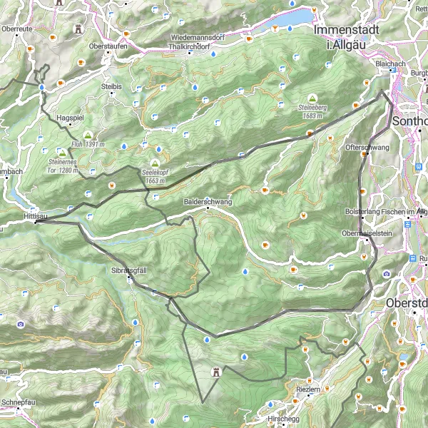
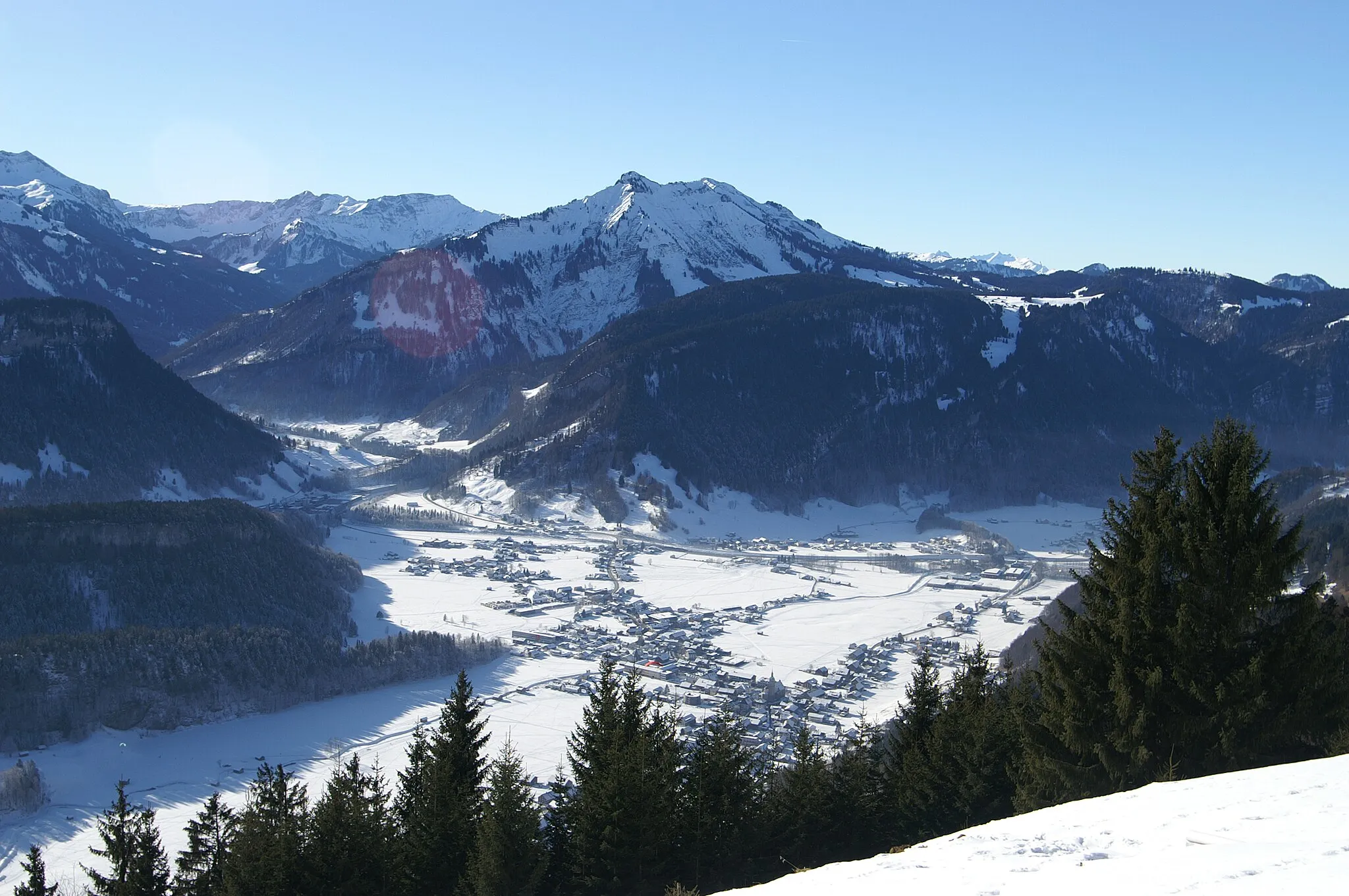
The Alpine Loop route offers a challenging cycling experience through the stunning alpine landscape of Vorarlberg. With a total distance of 67 kilometers and an ascent of 1567 meters, this route is suitable for experienced cyclists looking for a challenging ride. Along the way, cyclists will encounter highlights such as the Ließenbach-Holzbrücke, Heidenkopf viewpoint, and Rote Wand, known for its red rock formations. The route also includes the scenic villages of Ofterschwang, Obermaiselstein, and Sibratsgfäll, providing a glimpse into traditional alpine life.
road
67 km
1567 m
Tough
Route profile
Highlights on the route
0 km
0 km
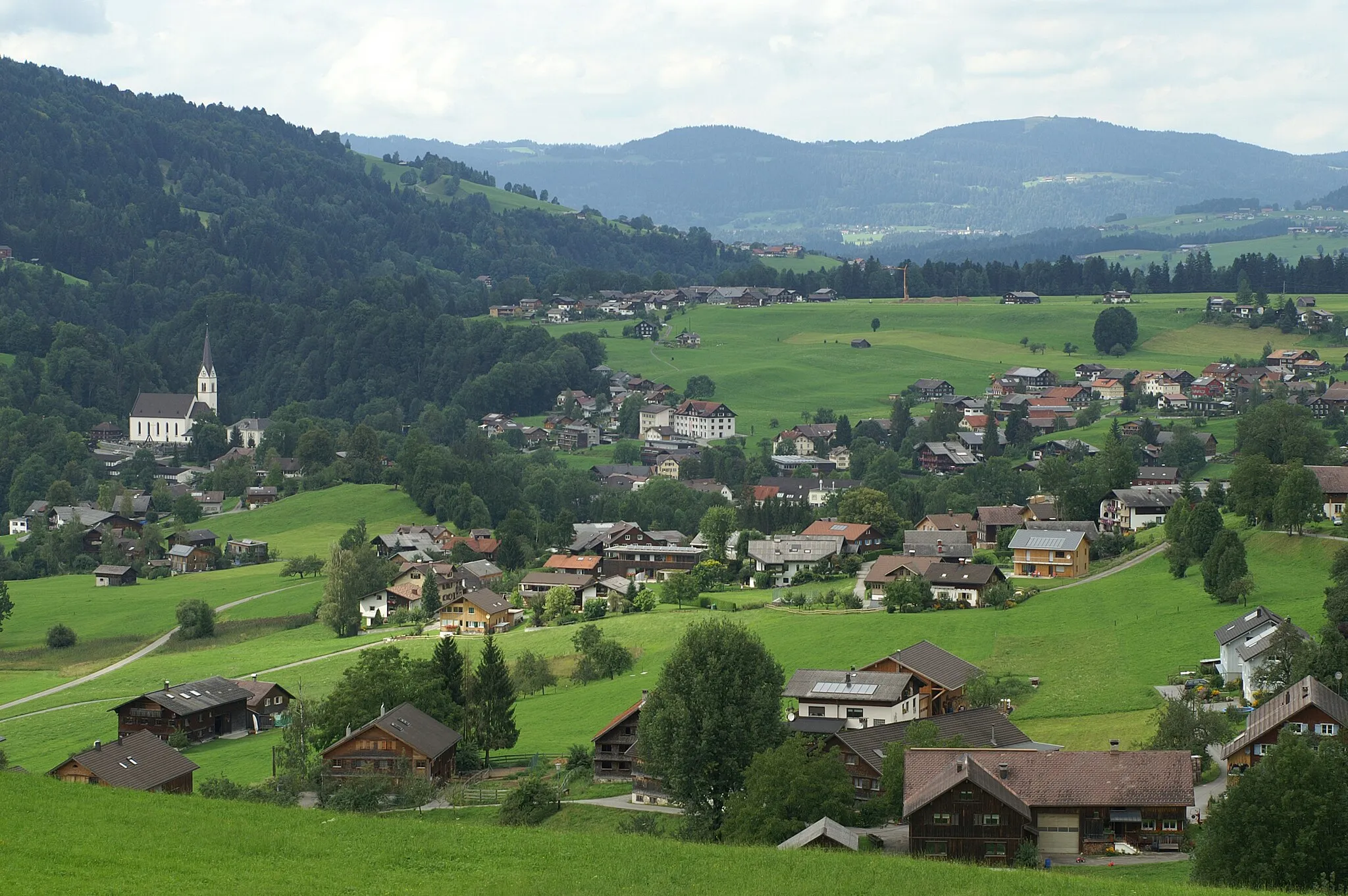
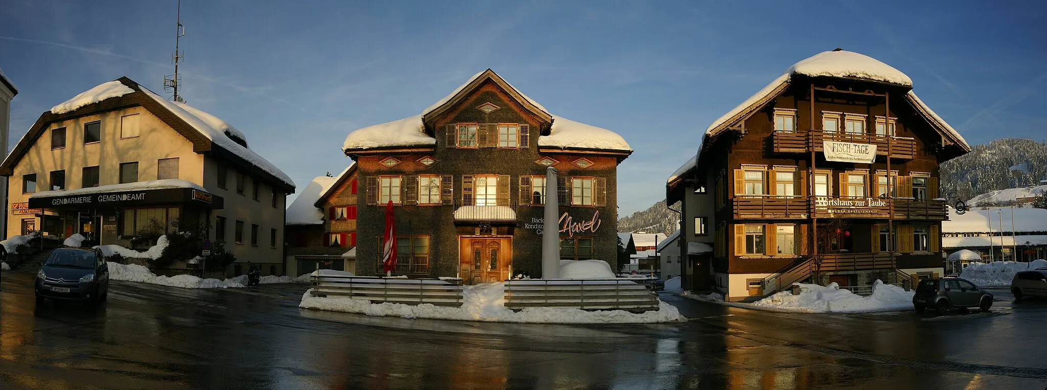
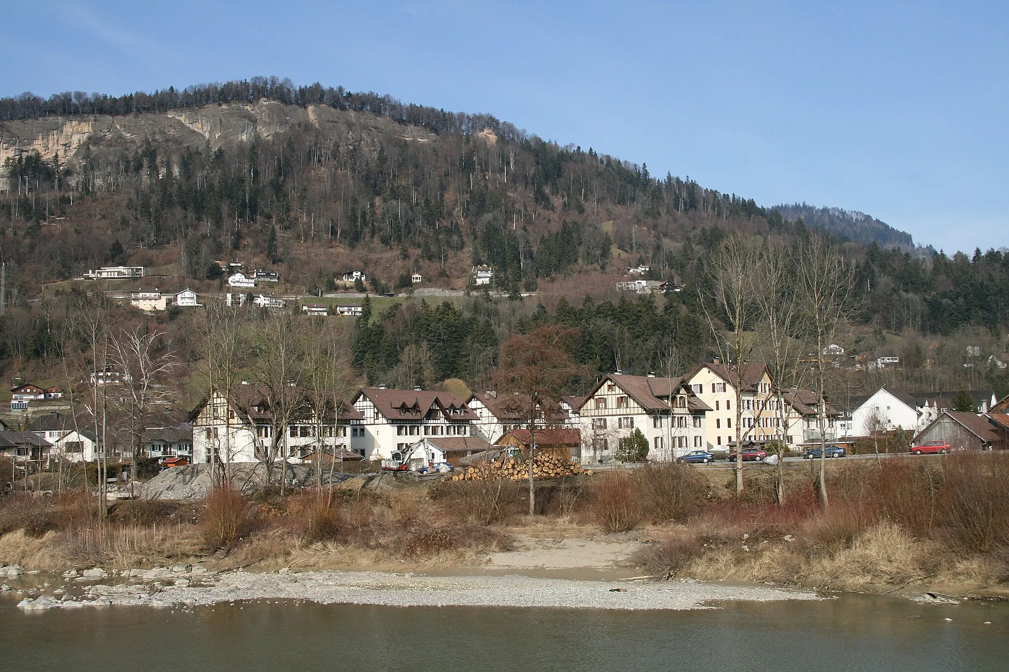
Start: Hittisau Village centerHittisau: Explore the majestic routes of Hittisau in the scenic Vorarlberg region!
Hittisau is a picturesque locality located in Vorarlberg, Austria. With its stunning natural beauty and cycling-friendly infrastructure, Hittisau is a haven for road and gravel cyclists. The surrounding mountainous landscapes offer a variety of legendary climbs and challenging routes for cyclists of all levels. Notable cycling spots nearby include the Bödelehof climb and the Hochtannberg Pass. Hittisau also provides cyclist-friendly accommodations and services, ensuring a memorable experience for cyclists. Whether you're seeking breathtaking mountainous routes or peaceful countryside rides, Hittisau is a must-visit cycling destination.2 km
2 km
Ließenbach-HolzbrückeAttraction12 km
12 km
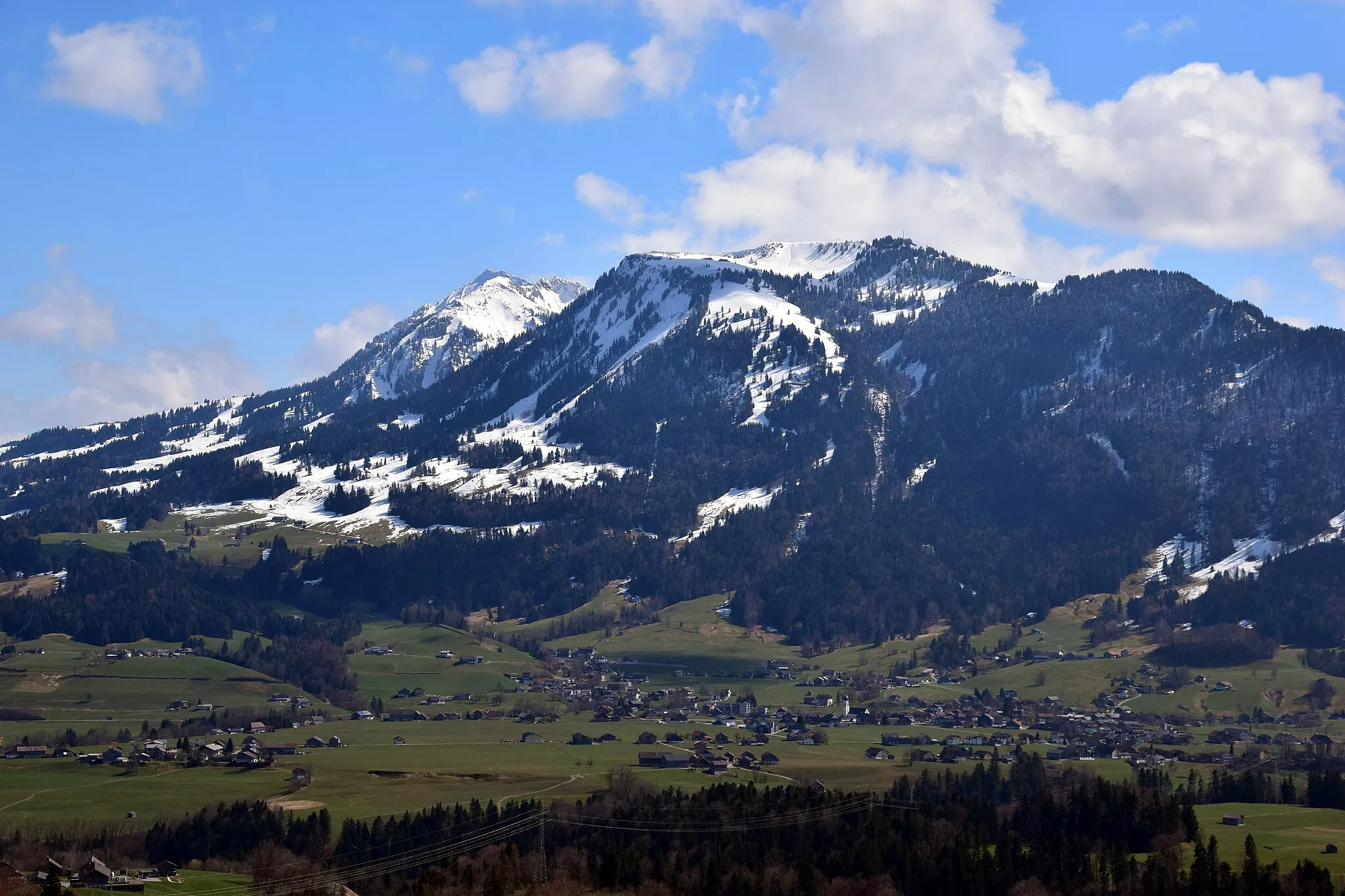
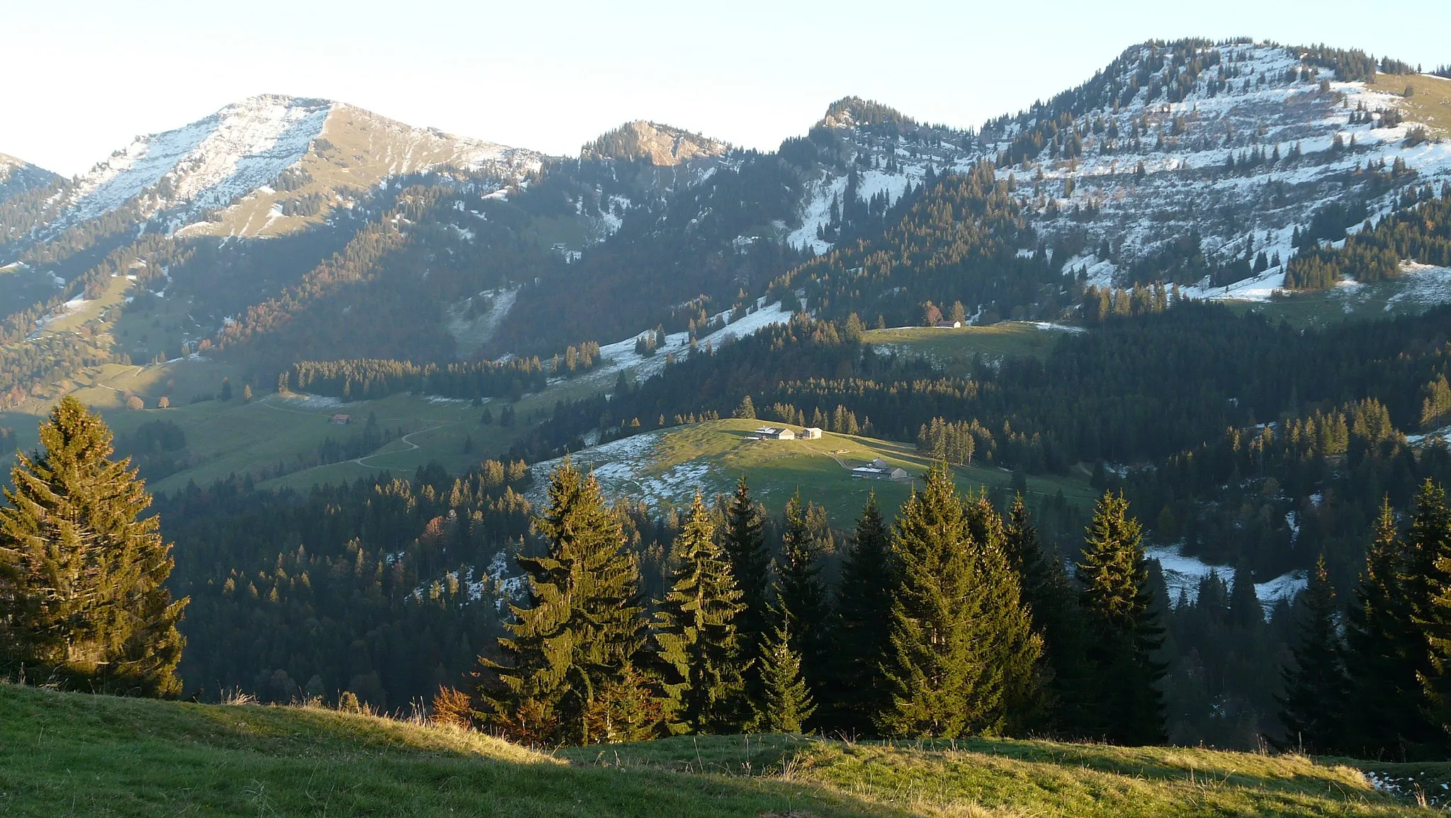
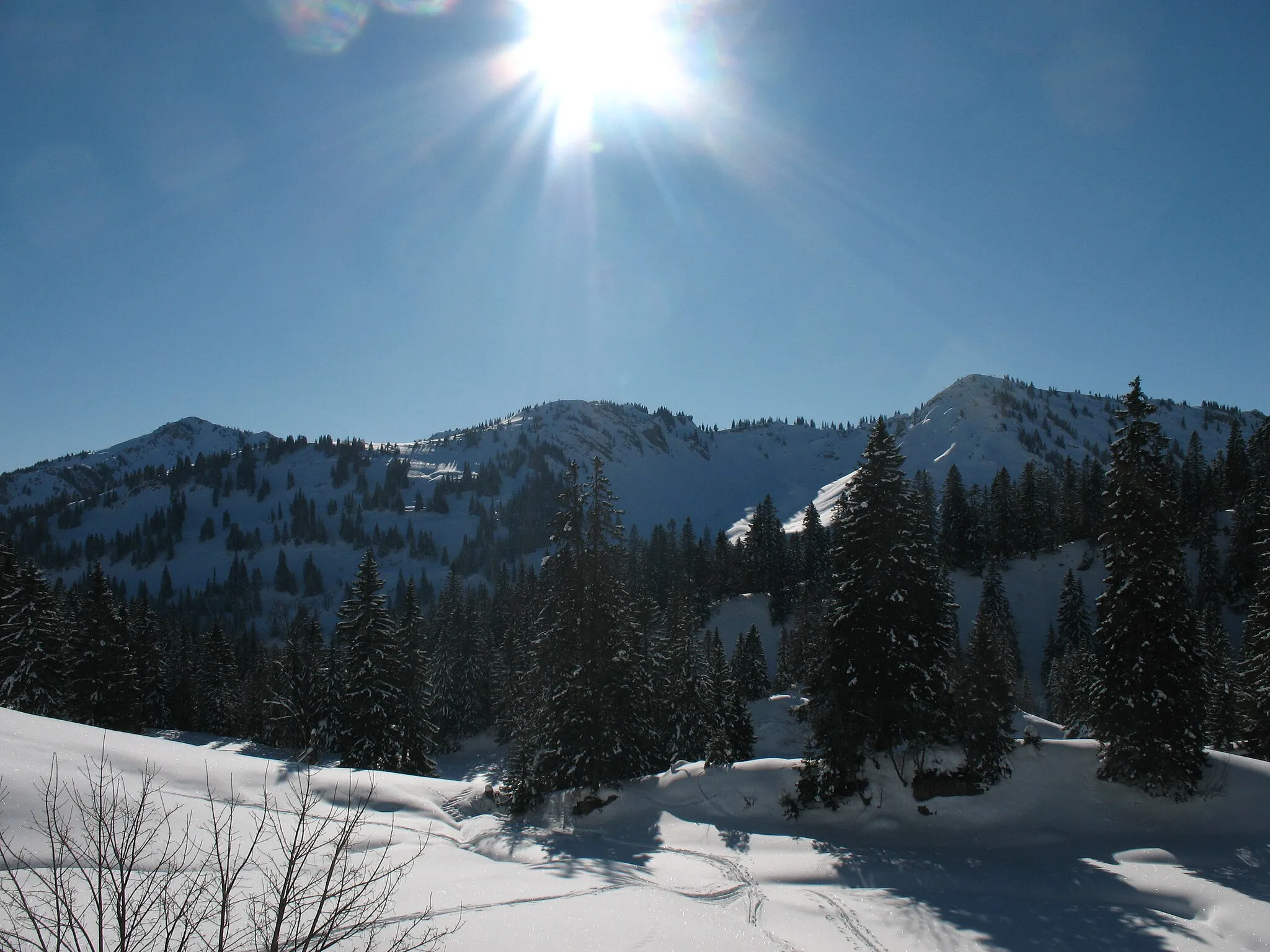
Heidenkopf1685 mPeakHeidenkopf is a popular viewpoint that offers panoramic views of the surrounding alpine landscape.
31 km
31 km
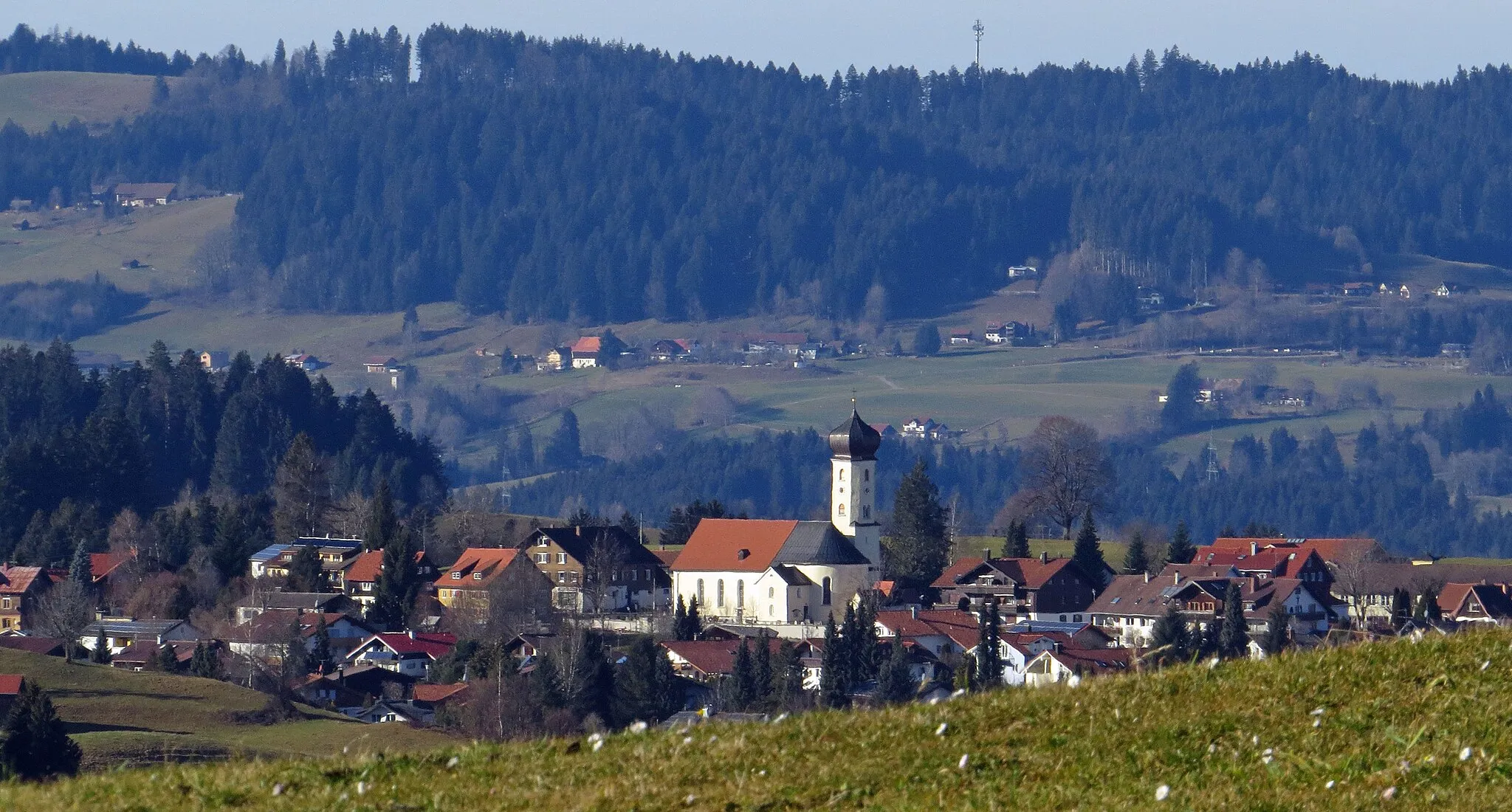
OfterschwangVillageOfterschwang is a picturesque village known for its traditional architectural style and breathtaking views.
37 km
37 km
ObermaiselsteinVillageObermaiselstein is a charming alpine village located in the Allgäu region with stunning mountain scenery.
46 km
46 km
Rote Wand1474 mPeak ViewpointRote Wand is a unique red rock formation that stands out against the alpine landscape.
52 km
52 km
Hammerkopf1800 mPeakHammerkopf is a rugged mountain peak that offers stunning views of the surrounding valleys and mountains.
59 km
59 km
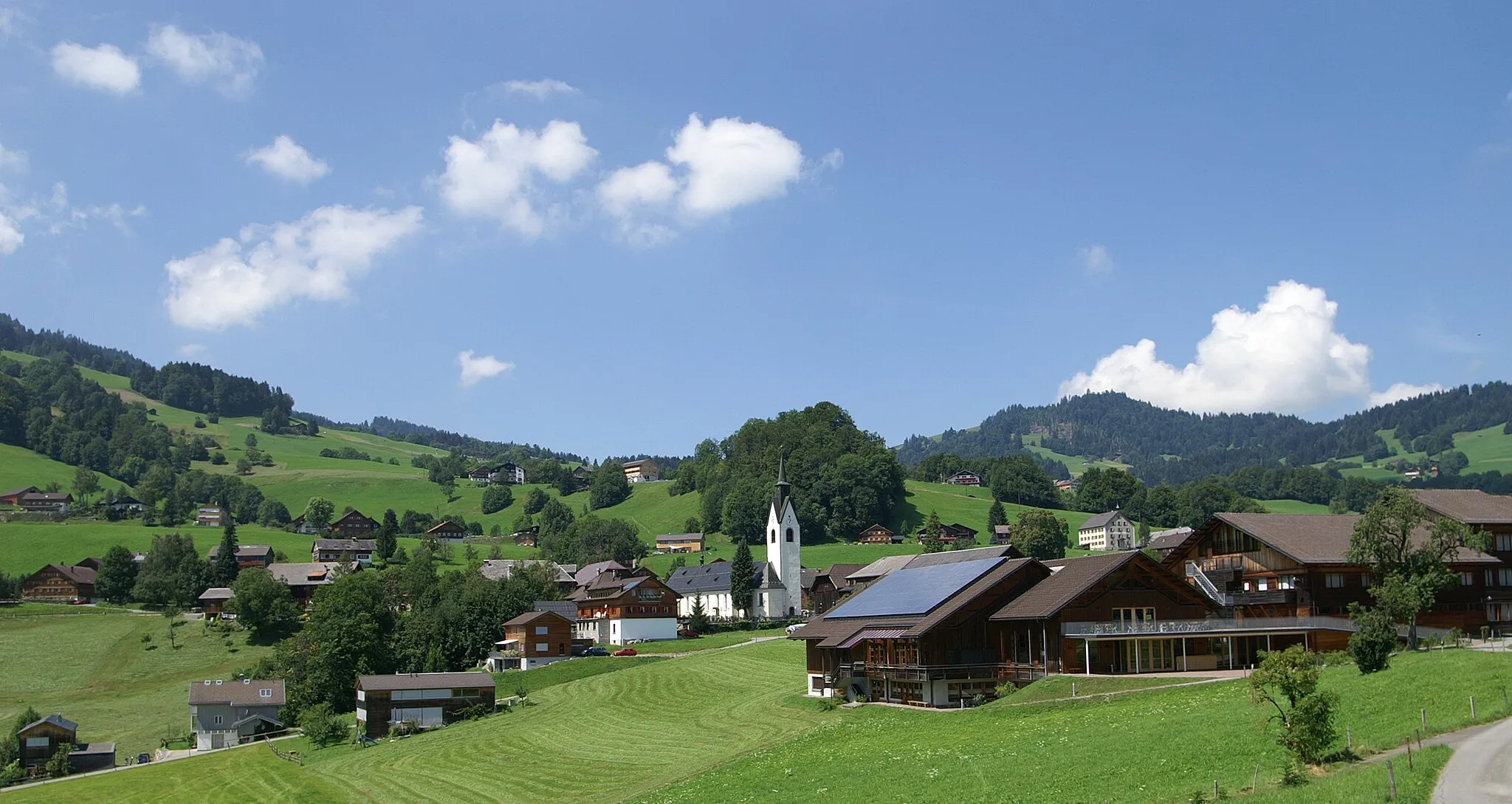
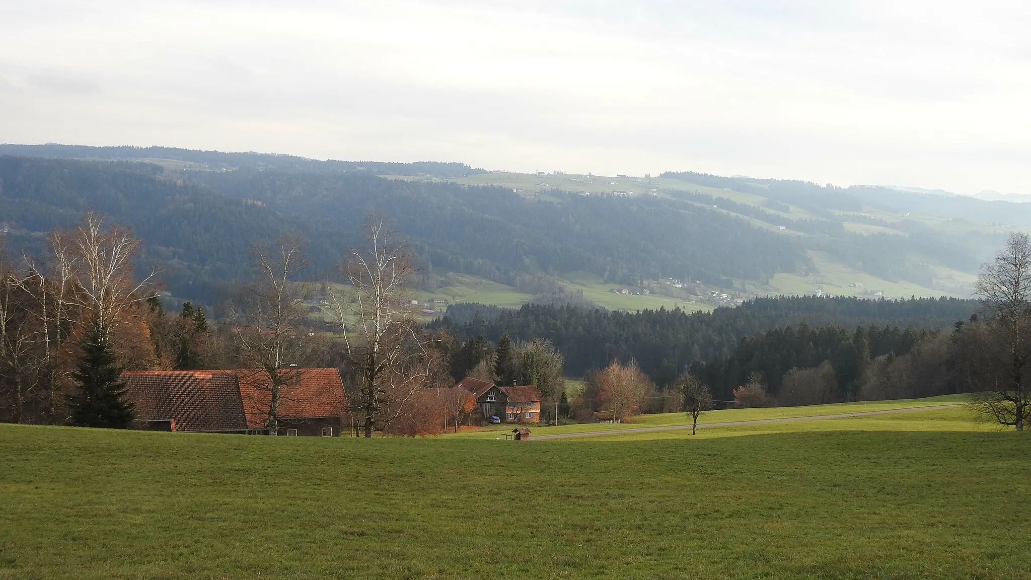
SibratsgfällVillageSibratsgfäll is a picturesque village located in the Bregenzerwald with traditional alpine architecture.
65 km
65 km
Hittisberg (Westgipfel)1250 mPeakHittisberg (Westgipfel) is a picturesque summit located in the Bregenzerwald.
67 km
67 km
Finish: Hittisau Village centerHittisau: Explore the majestic routes of Hittisau in the scenic Vorarlberg region!
Cycling routes nearby: