The Alpine Challenge
A road cycling route starting from Nenzing
Test your endurance with this challenging road cycling route through the alpine landscapes of Vorarlberg
Map
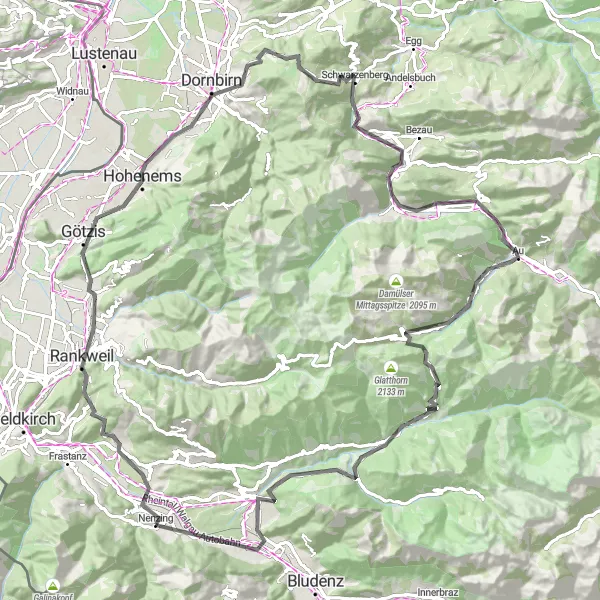
Get ready for the ultimate cycling challenge with this road cycling route near Nenzing. Covering a distance of 108 kilometers and ascending 2,714 meters, this route is not for the faint-hearted. Highlights along the way include Schlins, Ganta, Soele, Dornbirn, Losenpaß, Mellau, Damüls, Faschinajoch, Ludesch, and Känzele.
road
108 km
2714 m
Savage
Route profile
Highlights on the route
0 km
0 km
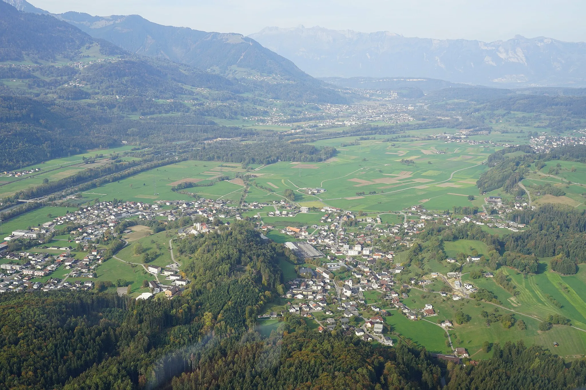
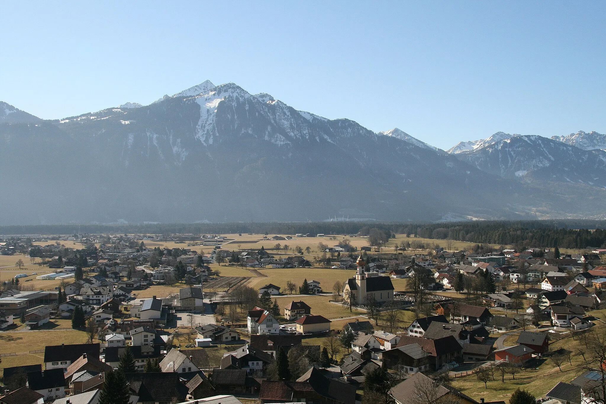
Start: Nenzing Village centerNenzing: Scenic landscapes and renowned climbing destination in Vorarlberg, Austria.
Nenzing, situated in Vorarlberg region of Austria, is known for its scenic landscapes and challenging climbs, making it a popular destination for road and gravel cyclists. The area offers stunning mountain views and well-maintained cycling routes that cater to different skill levels. Nenzing is also home to the famous Nenzinger Himmel, a legendary climb known for its steep gradients and breathtaking panoramas. With its challenging climbs and magnificent scenery, Nenzing is a top choice for cyclists seeking a thrilling ride.3 km
3 km
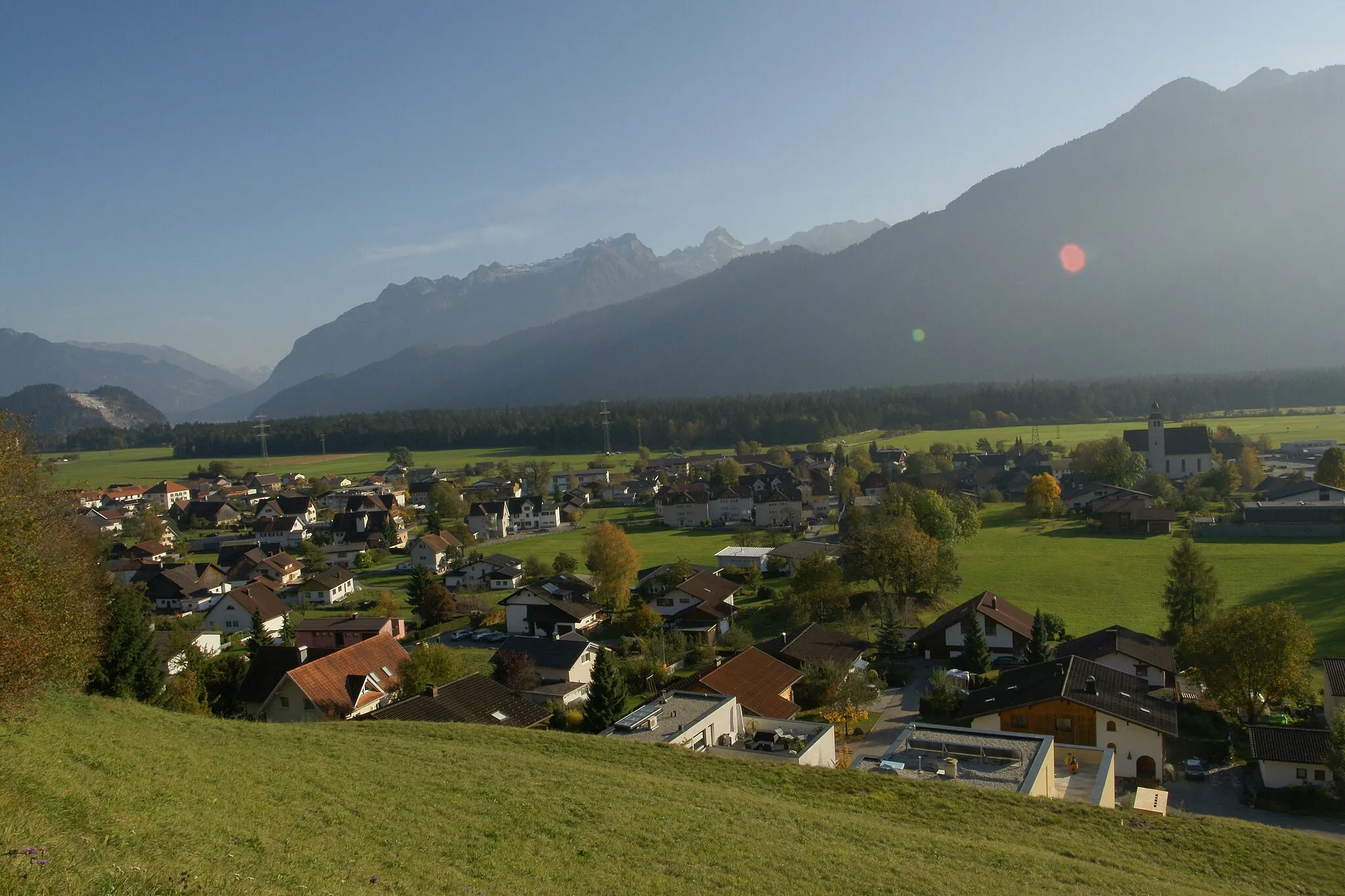
SchlinsVillageSchlins is a picturesque village with well-preserved historical buildings and a charming atmosphere.
15 km
15 km
GantaViewpointGanta is a stunning alpine lake surrounded by lush forests, providing a peaceful and idyllic setting for nature lovers.
23 km
23 km
SoeleViewpointSoele is an alpine hamlet known for its traditional wooden houses and panoramic views of the surrounding mountains.
32 km
32 km
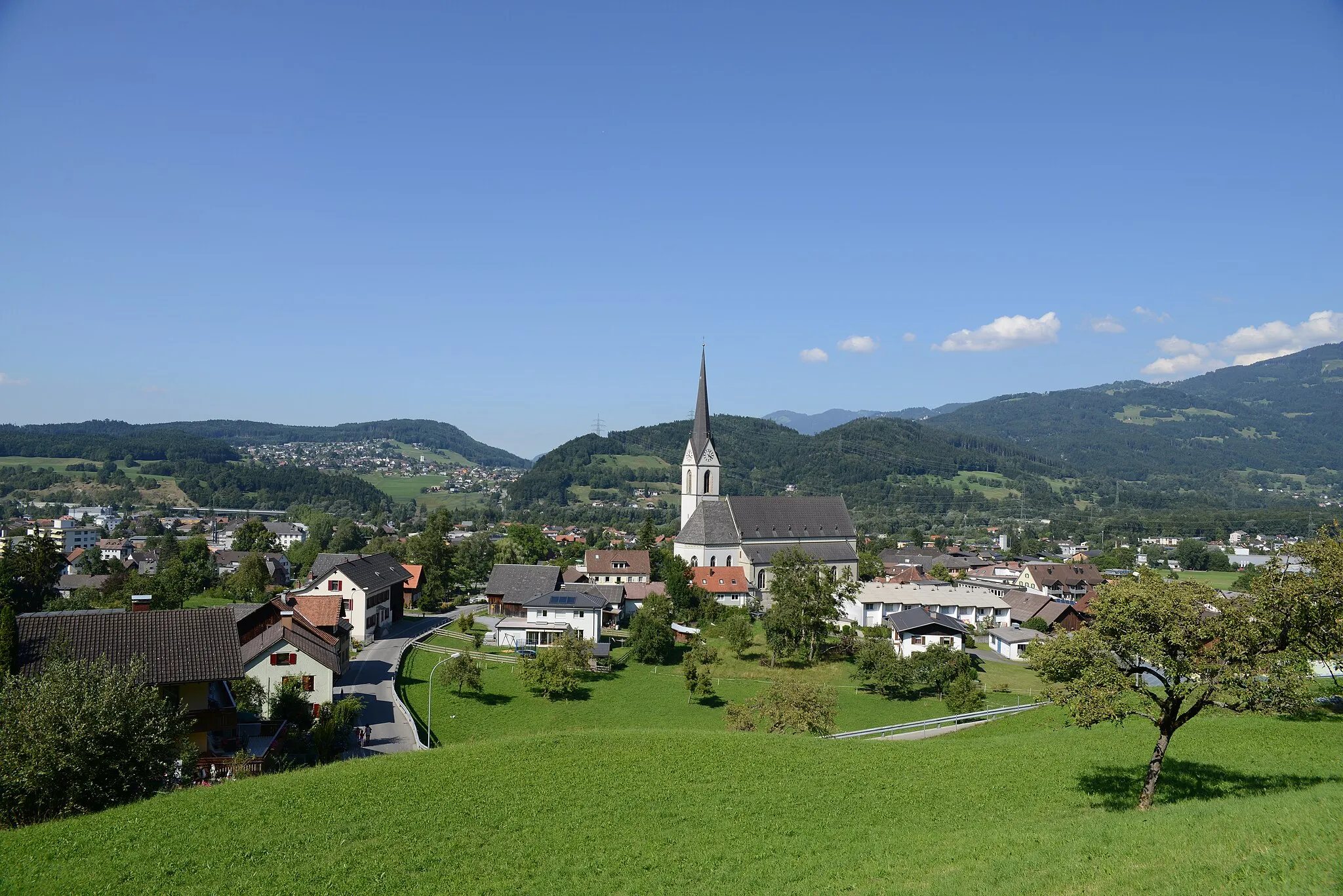
DornbirnTownDornbirn is the largest city in Vorarlberg, offering a blend of urban amenities and access to beautiful natural landscapes.
40 km
40 km
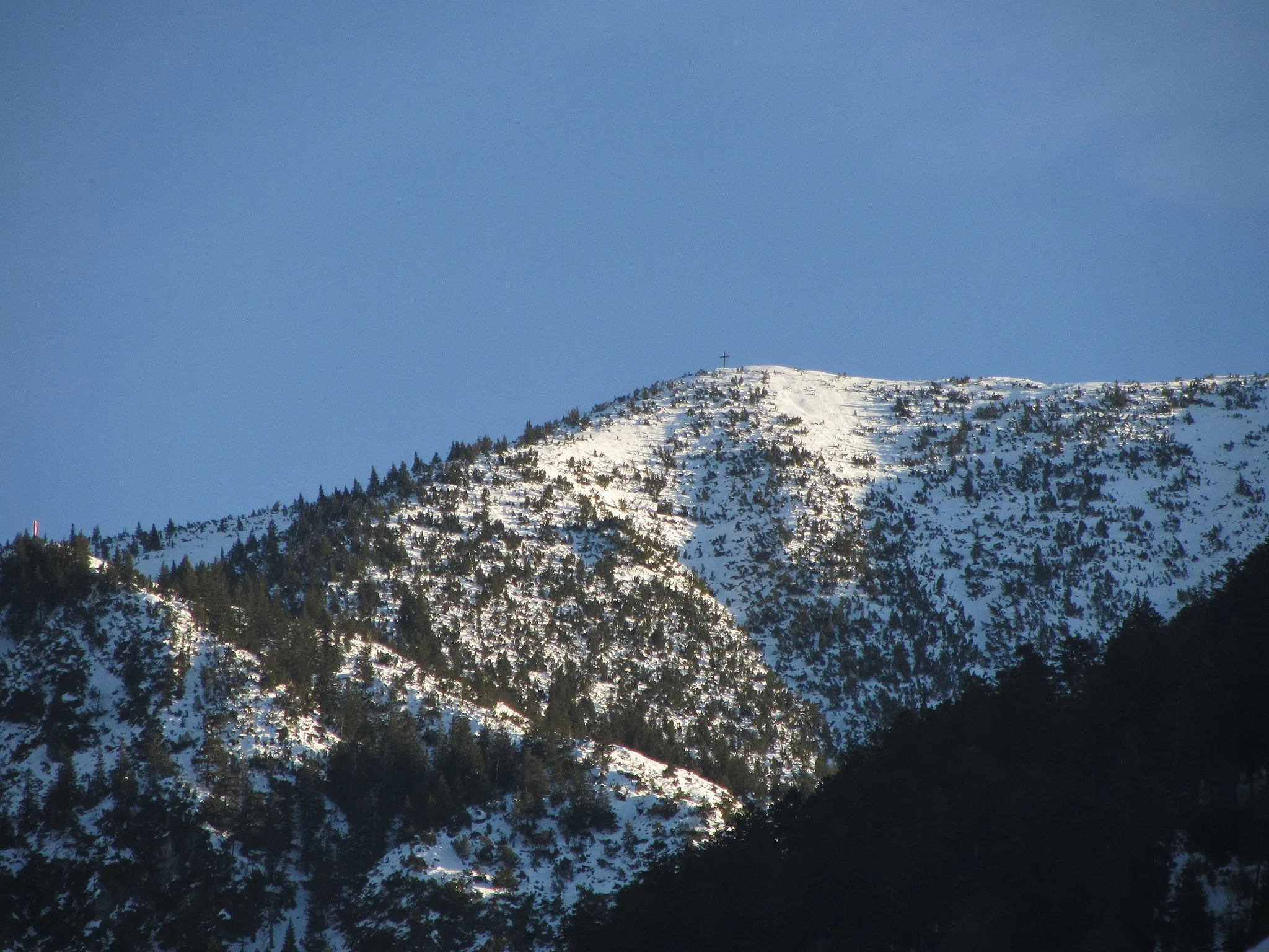
Losenpaß1140 mMountain PassLosenpaß is a challenging mountain pass that rewards riders with breathtaking views of the surrounding alpine scenery.
56 km
56 km
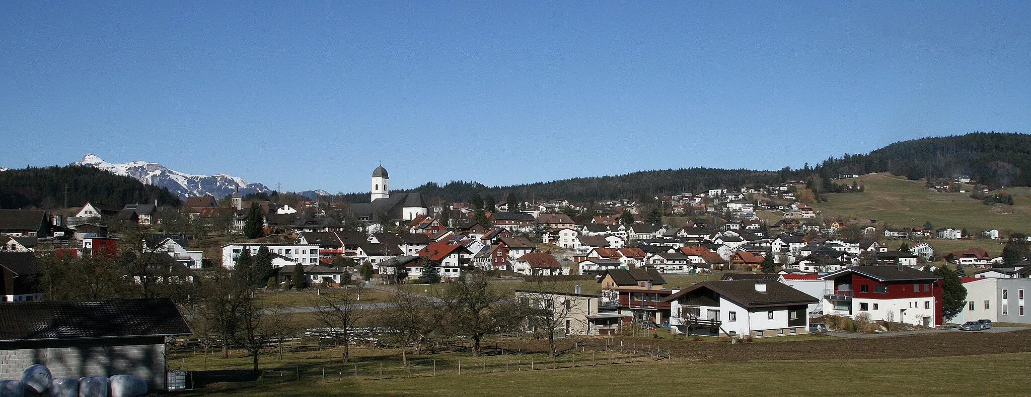
MellauVillageMellau is a picturesque village surrounded by lush meadows and majestic peaks, perfect for outdoor activities.
75 km
75 km
DamülsVillageDamüls is a paradise for outdoor enthusiasts, offering endless hiking trails, pristine alpine lakes, and breathtaking views of the surrounding mountains.
77 km
77 km
Faschinajoch1486 mMountain PassFaschinajoch is a legendary high-mountain pass located at an altitude of 1,483 meters, providing cyclists with stunning panoramic views and steep ascents.
97 km
97 km
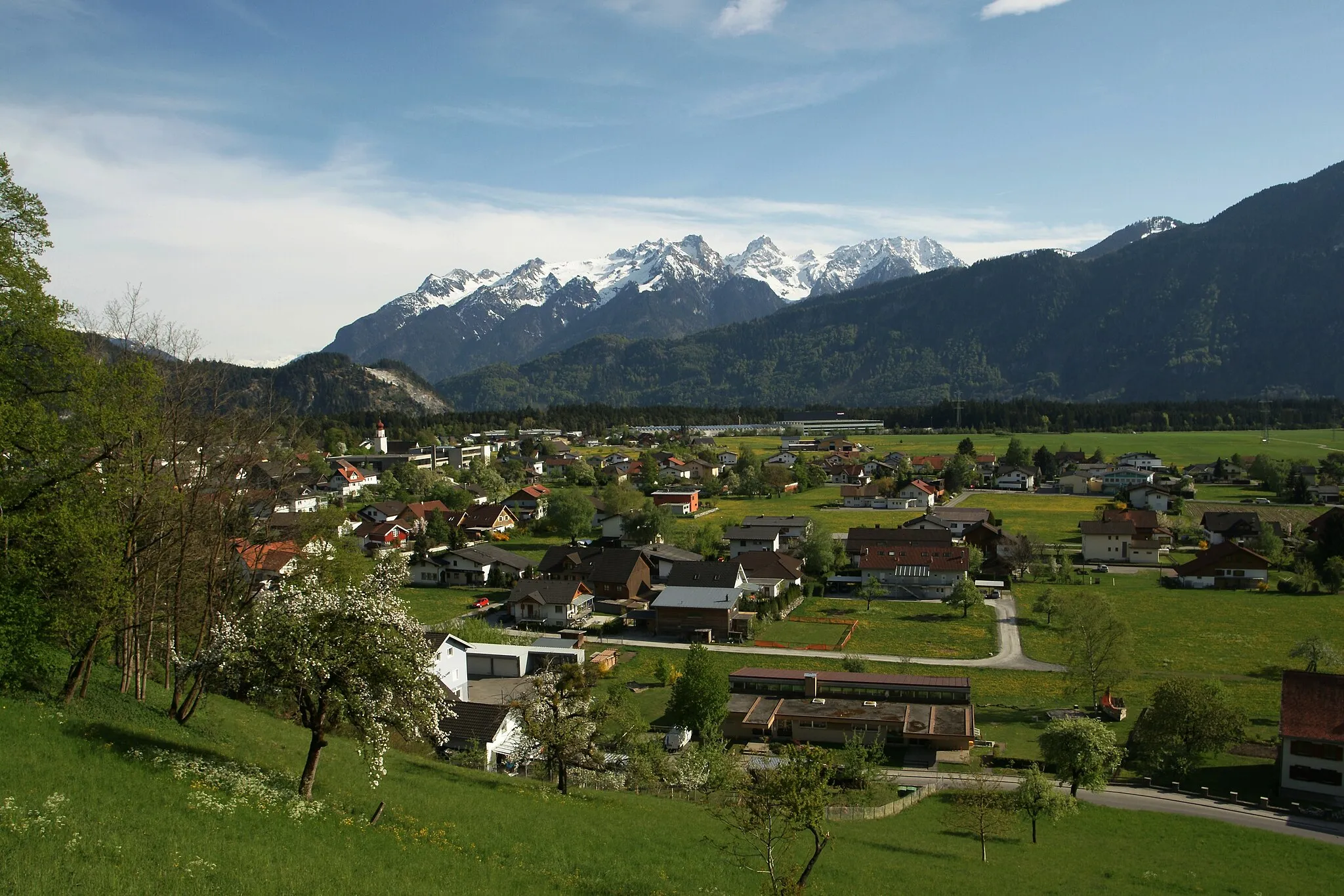
LudeschVillageLudesch is a charming village nestled in the picturesque Ill Valley, known for its traditional architecture and idyllic countryside.
100 km
100 km
KänzeleViewpointKänzele is an iconic viewpoint offering panoramic vistas of the surrounding mountains and valleys.
108 km
108 km
Finish: Nenzing Village centerNenzing: Scenic landscapes and renowned climbing destination in Vorarlberg, Austria.
Cycling routes from Nenzing:
Cycling routes nearby: