Thur and Hirschberg Challenge
A road cycling route starting from Satteins
Experience the thrill of cycling through Thur and conquering Hirschberg
Map
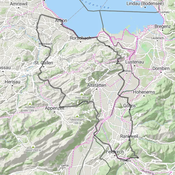
Embark on this exhilarating 124-kilometer road cycling route that takes you through the stunning landscapes of Thur and Hirschberg. With an ascent of 1,921 meters, be prepared for a challenging adventure suitable for experienced cyclists. Marvel at the picturesque views from Känzele and Rüthi (Rheintal), and conquer the legendary climb of Hoher Hirschberg. Don't miss the charming village of Satteins, known for its idyllic scenery and welcoming atmosphere.
road
124 km
1921 m
Tough
Route profile
Highlights on the route
0 km
0 km
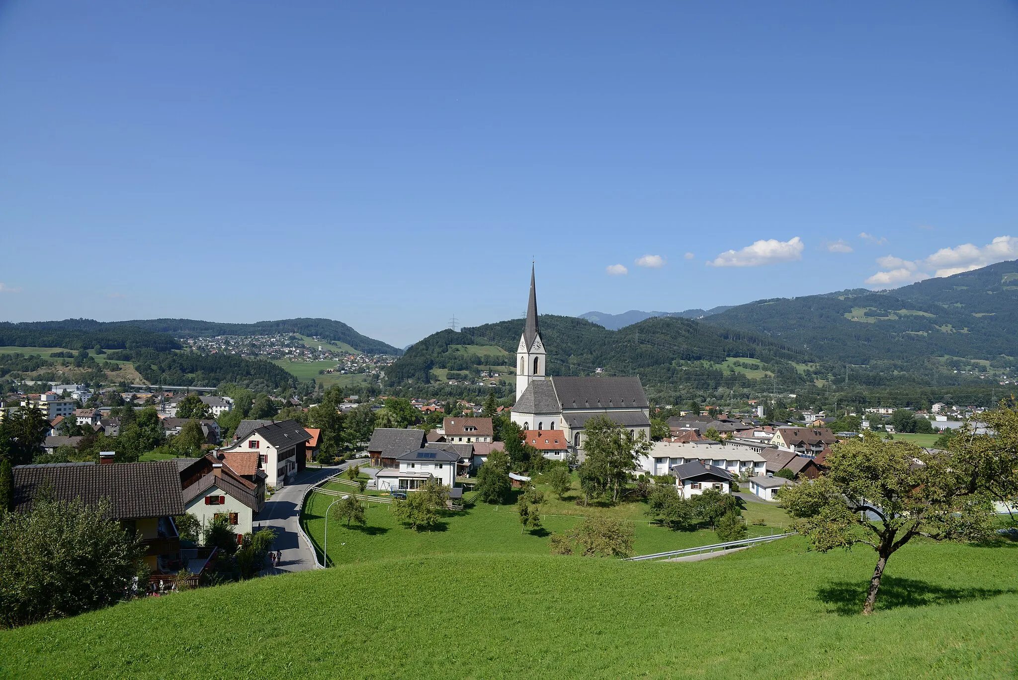
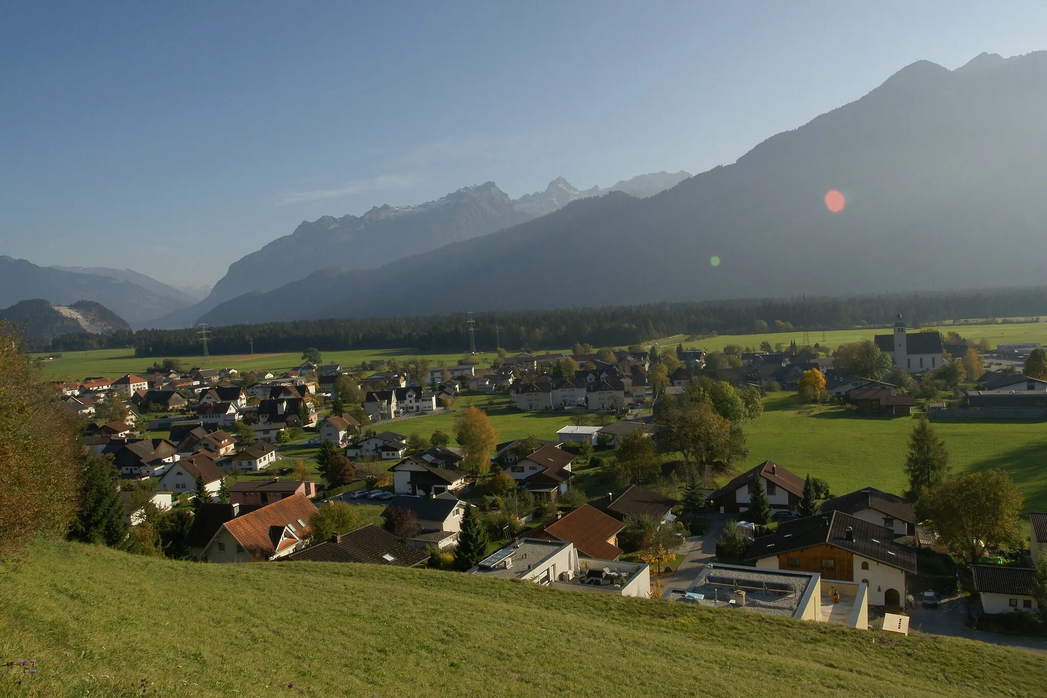
Start: Satteins Village centerSatteins: Discover Satteins' Charms in Vorarlberg, Austria
Satteins, situated in Vorarlberg, Austria, offers a delightful cycling experience for road and gravel cyclists. The locality is surrounded by stunning alpine scenery and offers captivating routes for cyclists to explore. Satteins is known for its well-maintained cycling paths, offering a safe and enjoyable ride through picturesque landscapes. Nearby attractions include the famous Montafon Valley and Vorarlberg's renowned cycling tour routes. With its combination of breathtaking nature and cycling-friendly infrastructure, Satteins is an excellent choice for cyclists seeking both challenge and beauty.7 km
7 km
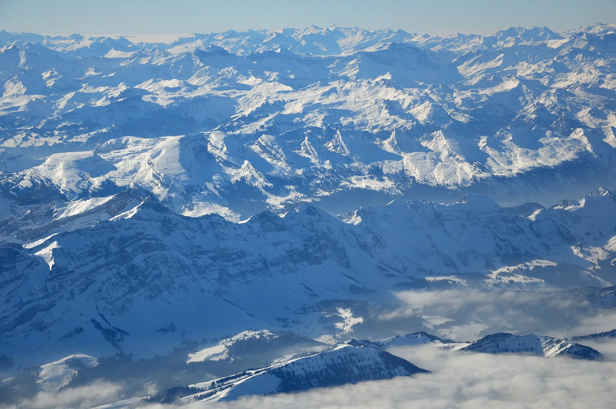
Känzele635 mPeakKänzele offers breathtaking panoramic views of the surrounding mountains and forests.
7 km
7 km
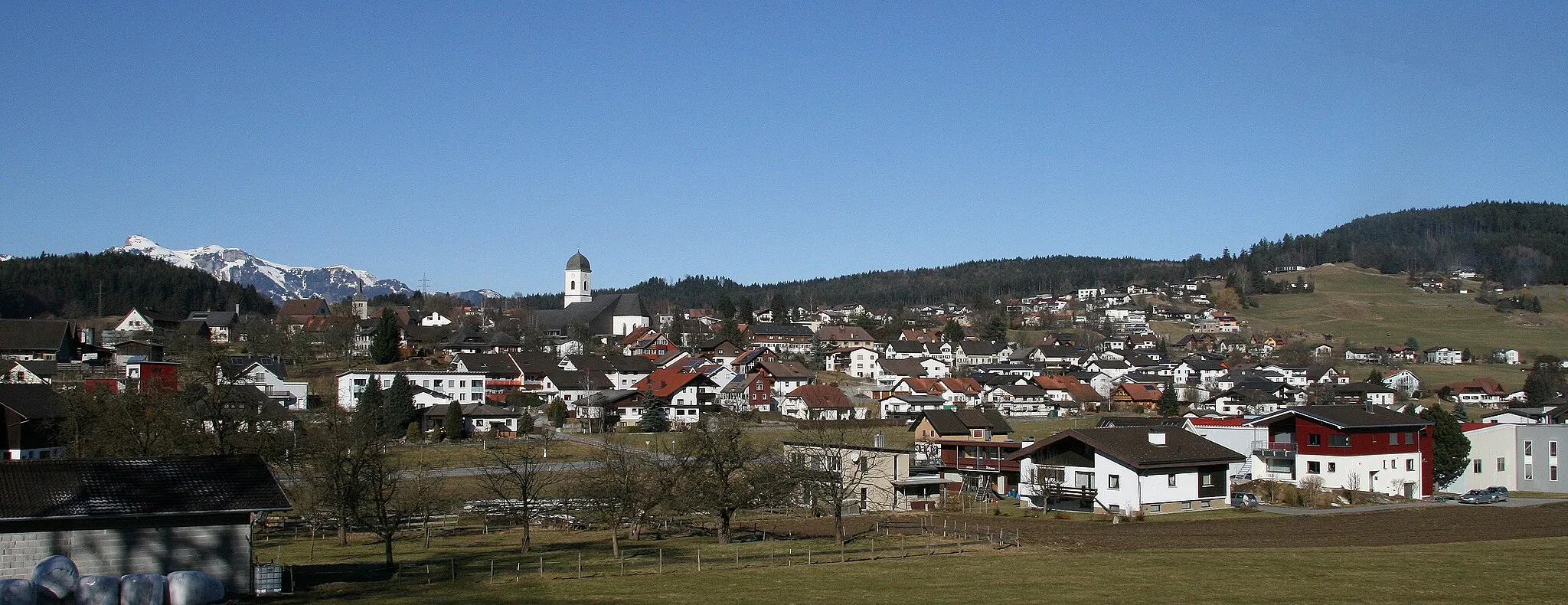
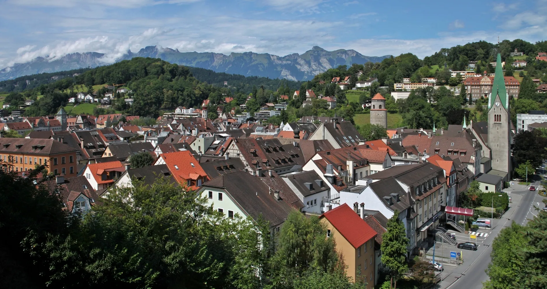
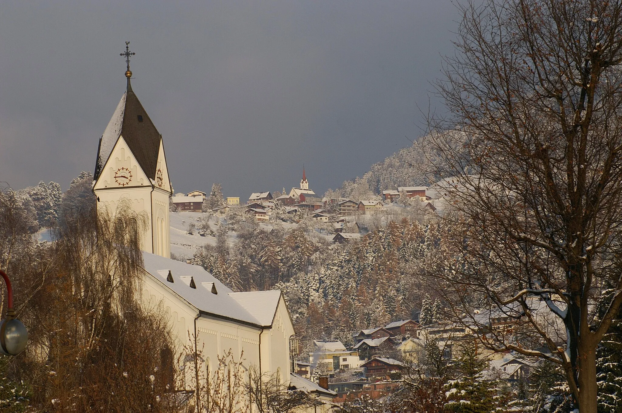
FeldkirchTownFeldkirch is a historic town with well-preserved medieval buildings and a charming old town.
17 km
17 km
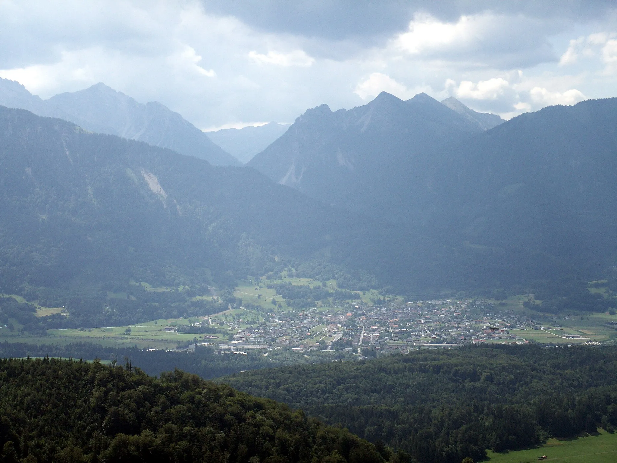
Rüthi (Rheintal)VillageRüthi (Rheintal) is a charming village located in the scenic Rheintal region.
30 km
30 km
Hoher Hirschberg1169 mPeakHoher Hirschberg is a legendary spot known for its challenging climb and rewarding views.
44 km
44 km
Egg965 mMountain PassEgg is a picturesque village surrounded by rolling hills and lush green landscapes.
50 km
50 km
St. GallenTownSt. Gallen is a vibrant city boasting historical landmarks and cultural attractions.
61 km
61 km
HäggenschwilVillageHäggenschwil is a scenic village offering picturesque views of the countryside.
61 km
61 km
Aussichtspunkt KastenbergViewpointAussichtspunkt Kastenberg is a lookout point offering sweeping views of the surrounding region.
77 km
77 km
RorschachTownRorschach is a charming town located on the shores of Lake Constance, known for its beautiful waterfront.
84 km
84 km
AussichtsplattformViewpointThe Aussichtsplattform offers stunning panoramic views and is a popular photography spot.
94 km
94 km
BerneckVillageBerneck is a picturesque village surrounded by lush vineyards and picturesque landscapes.
97 km
97 km
RebhüttliViewpointRebhüttli is a cozy spot offering tasty local wines and breathtaking views of the Alpine scenery.
109 km
109 km
GötzisTownGötzis is a charming town with a rich cultural heritage and beautiful architecture.
114 km
114 km
GantaViewpointGanta is a hidden gem known for its peaceful atmosphere and natural beauty.
124 km
124 km
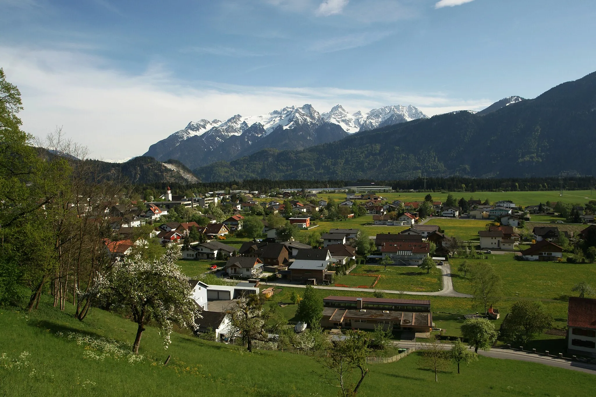
SatteinsVillageSatteins is a picturesque village known for its idyllic setting and friendly locals.
124 km
124 km
Finish: Satteins Village centerSatteins: Discover Satteins' Charms in Vorarlberg, Austria
Cycling routes from Satteins:
Frastanz and Sulz Loop Arlberg Epic Loop Feldkirch and Rüthi Loop Thur and Hirschberg Challenge Frastanz and Rankweil Gravel Adventure The Gravel Adventure Cultural and Scenic Delights Satteins and Beyond The Ultimate Road Cycling Experience The Alpine Adventure From Satteins to Schnifis: A Gravel Adventure in Vorarlberg
Cycling routes nearby: