Historic charm combined with scenic cycling routes.
Cycling routes from Antoing
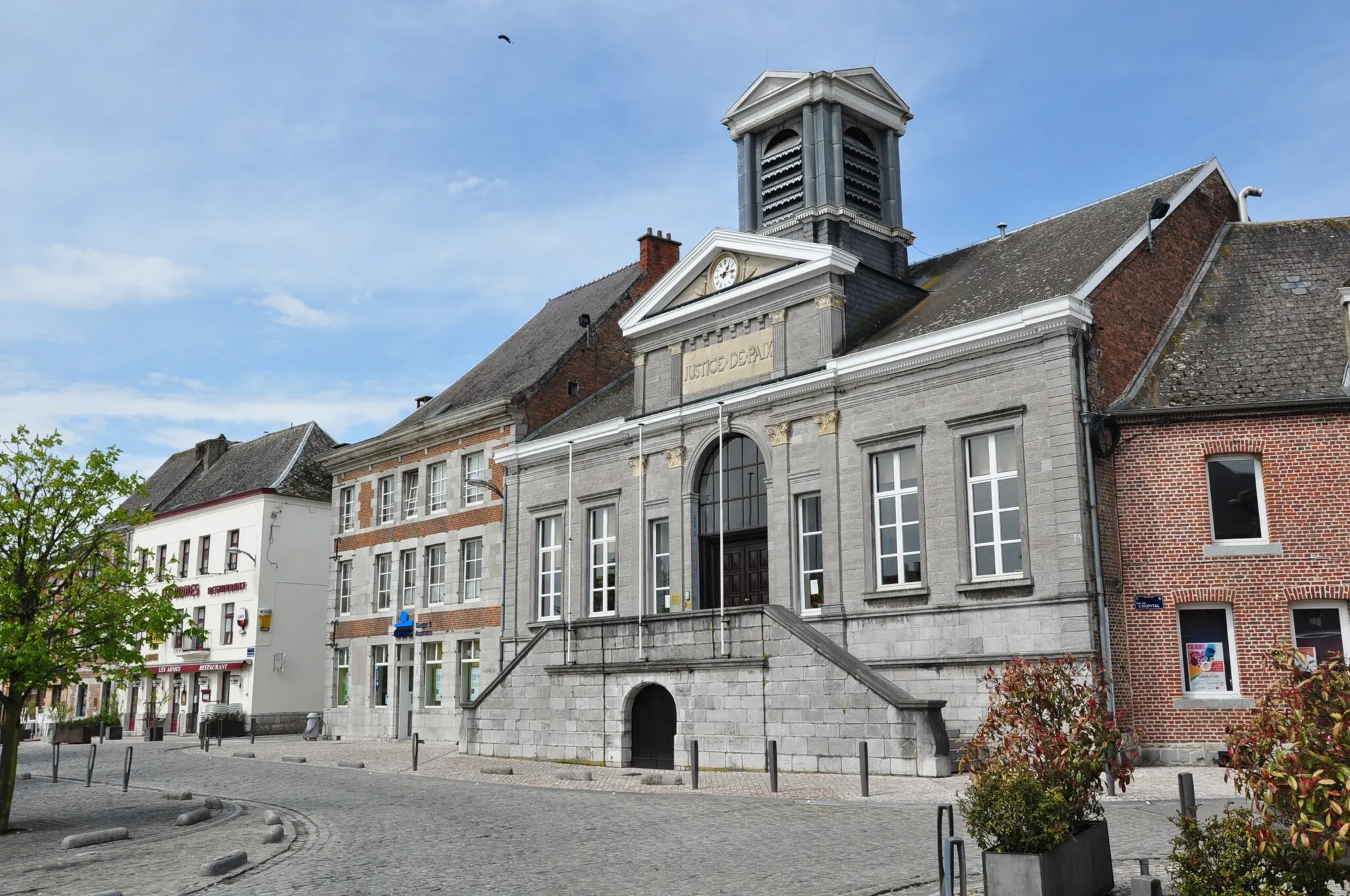
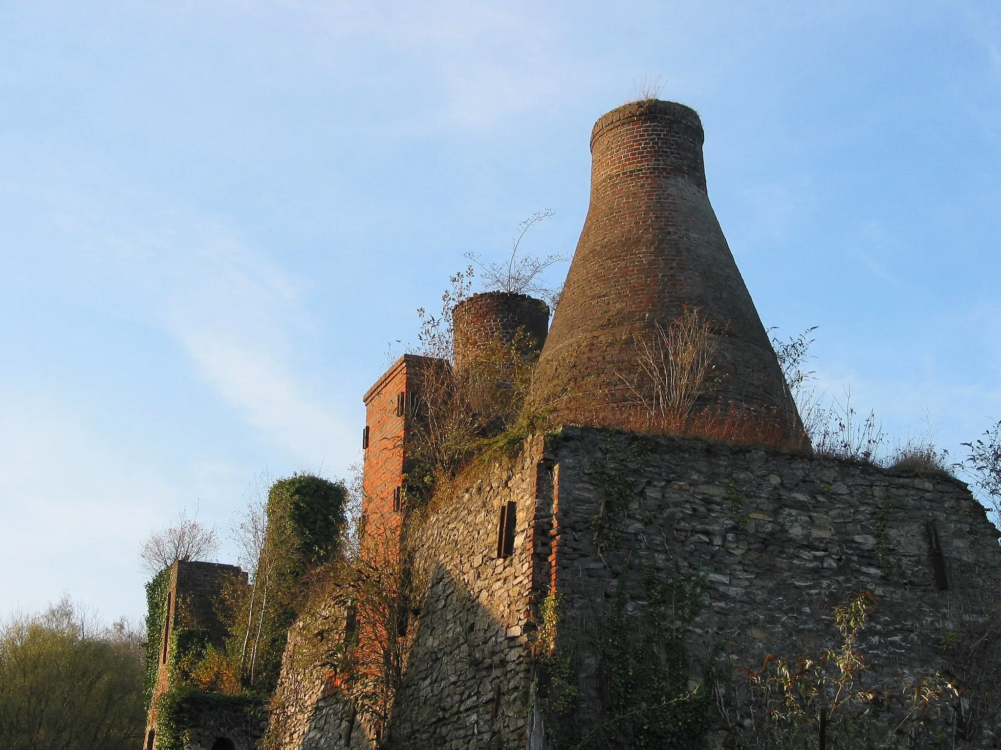
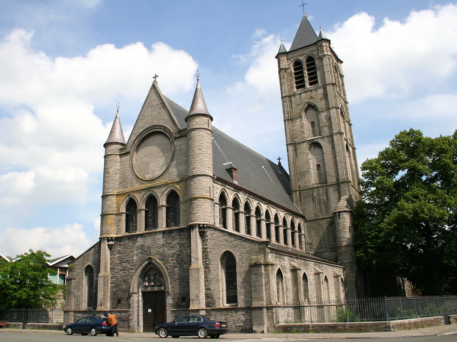
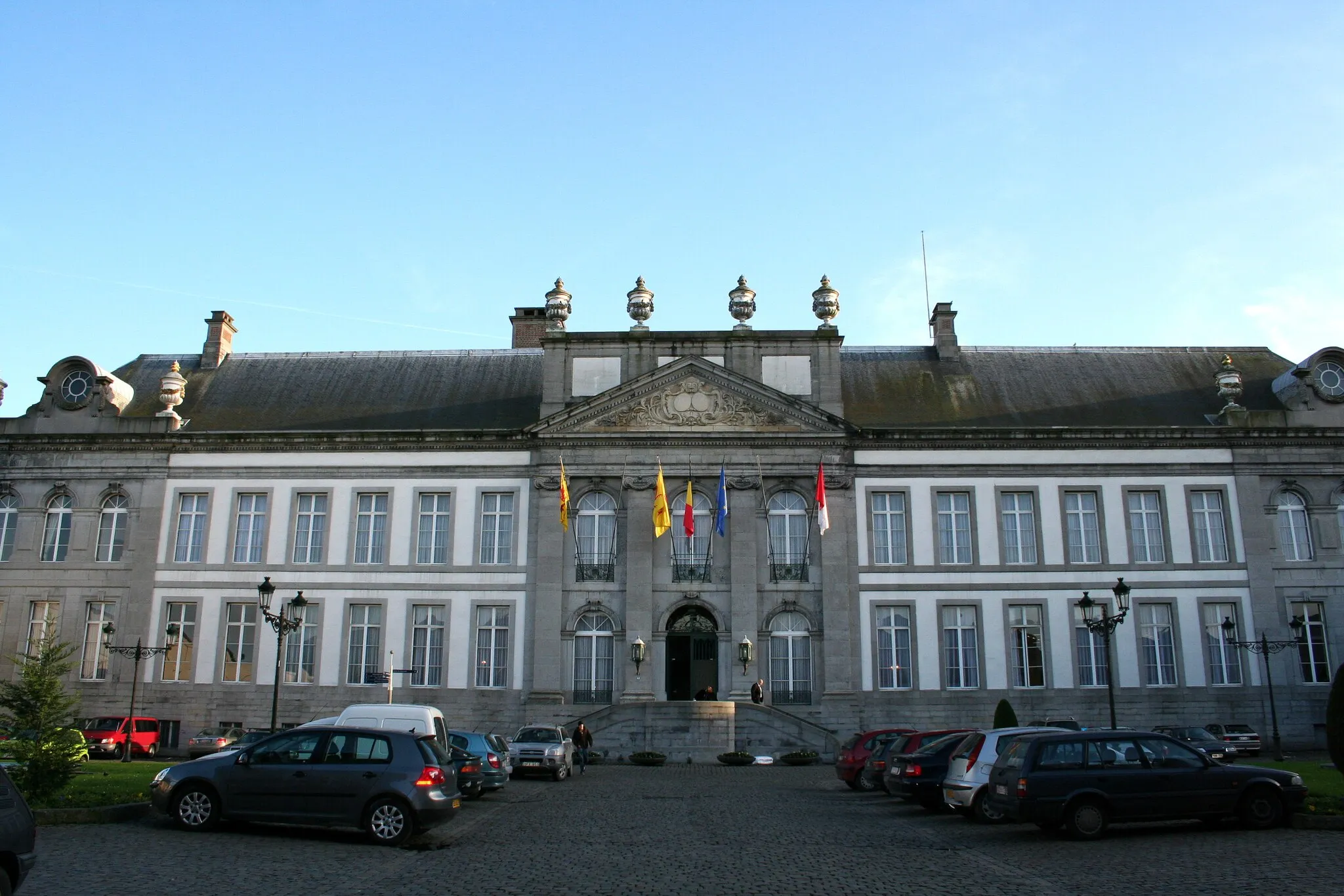
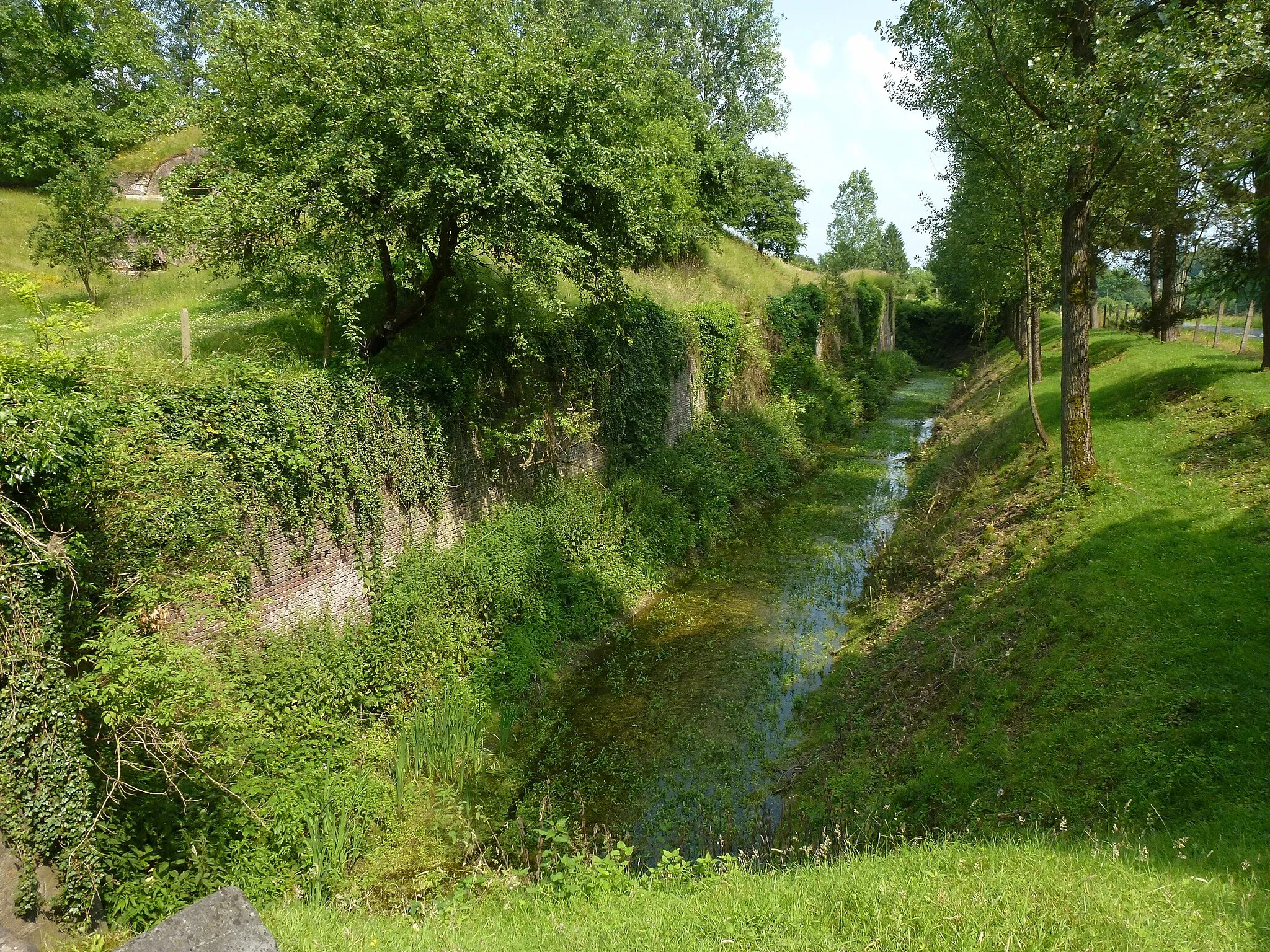
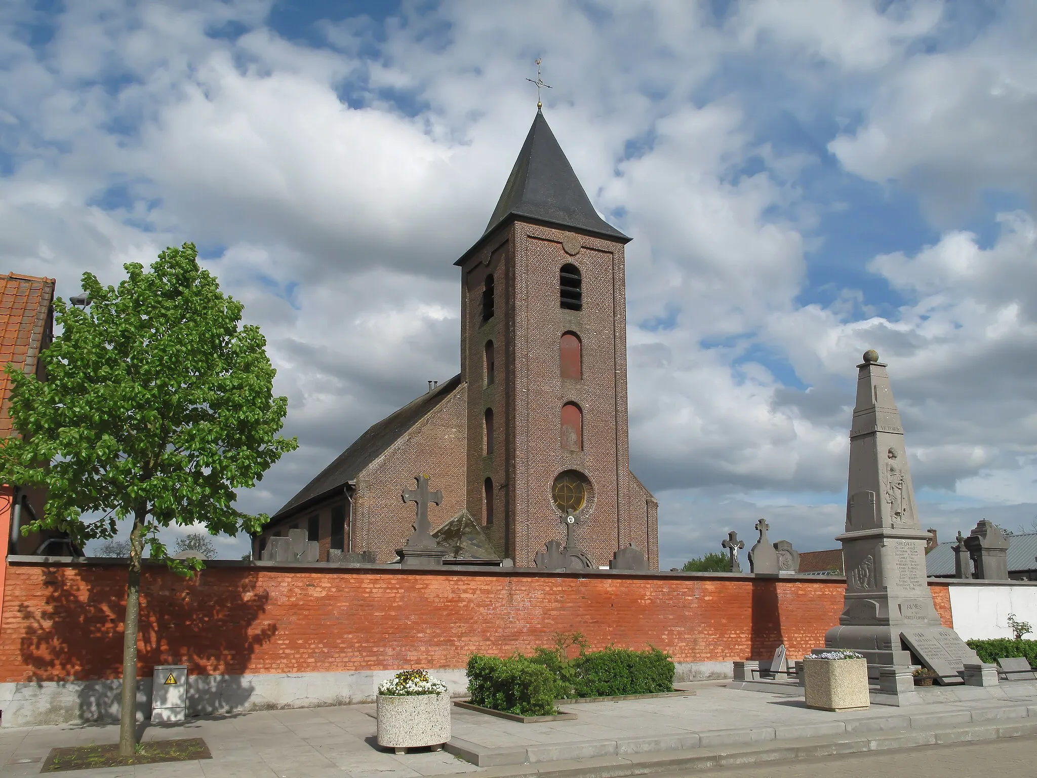
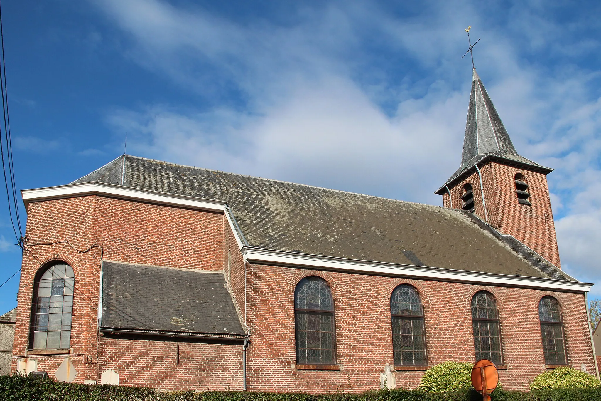
Antoing is a locality in Belgium, specifically in the province of Hainaut. From a cyclist's perspective, Antoing offers a diverse range of cycling options. The area combines beautiful countryside with historical landmarks, providing an exciting and scenic backdrop for cyclists. Cyclists can explore the picturesque villages, rolling hills, and forests that surround Antoing. One of the well-known cycling climbs nearby is the Mont-Saint-Aubert, which offers stunning views at its summit. With its mix of natural beauty and historical charm, Antoing is a popular choice for cyclists and an attractive destination for tourists.
A challenging road cycling route with a highlight in Mont-Saint-Aubert
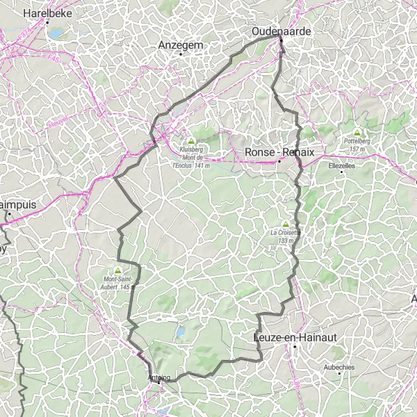
If you're up for a challenge, this road cycling route from Antoing to Mont-Saint-Aubert is the perfect choice. With a significant ascent and a length of 94 km, this ride is suitable for well-trained amateur cyclists seeking a tough yet rewarding experience. The highlight of the route is the breathtaking views from Mont-Saint-Aubert, where you can admire the picturesque landscapes of the region.
Antoing - Thun-Saint-Amand Loop

A scenic road cycling route with a highlight in Thun-Saint-Amand
This route takes you from Antoing to Thun-Saint-Amand and back, providing beautiful scenery along the way. The highlight of the route is the picturesque town of Thun-Saint-Amand, where you can explore its charming streets and enjoy the local atmosphere. With a moderate ascent and a distance of 83 km, this route is suitable for well-trained amateur cyclists looking for a pleasant ride.

A challenging road cycling route with stunning highlights
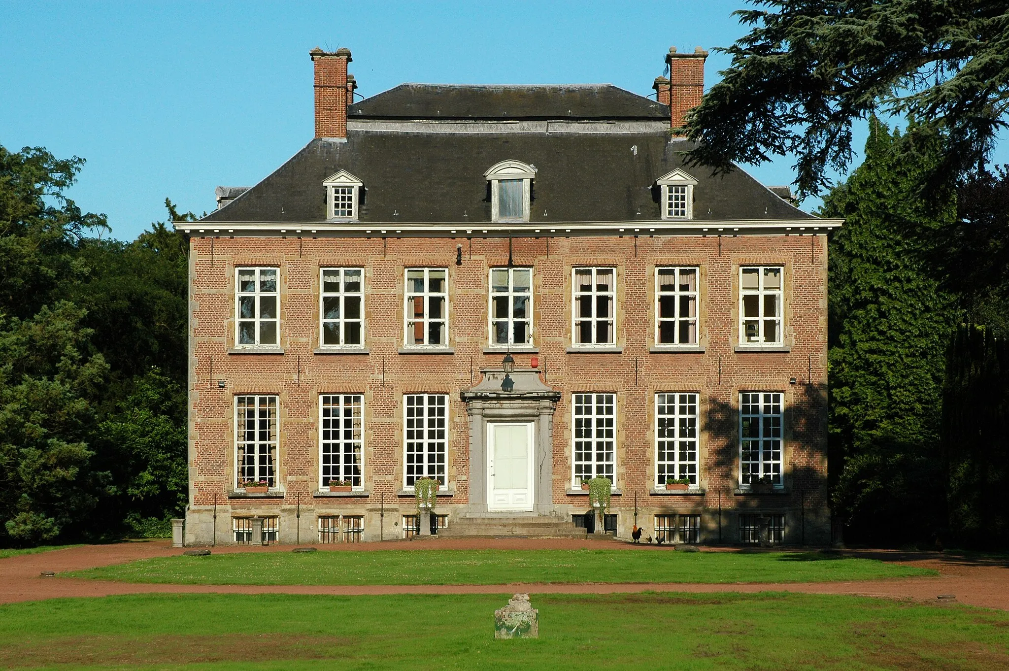
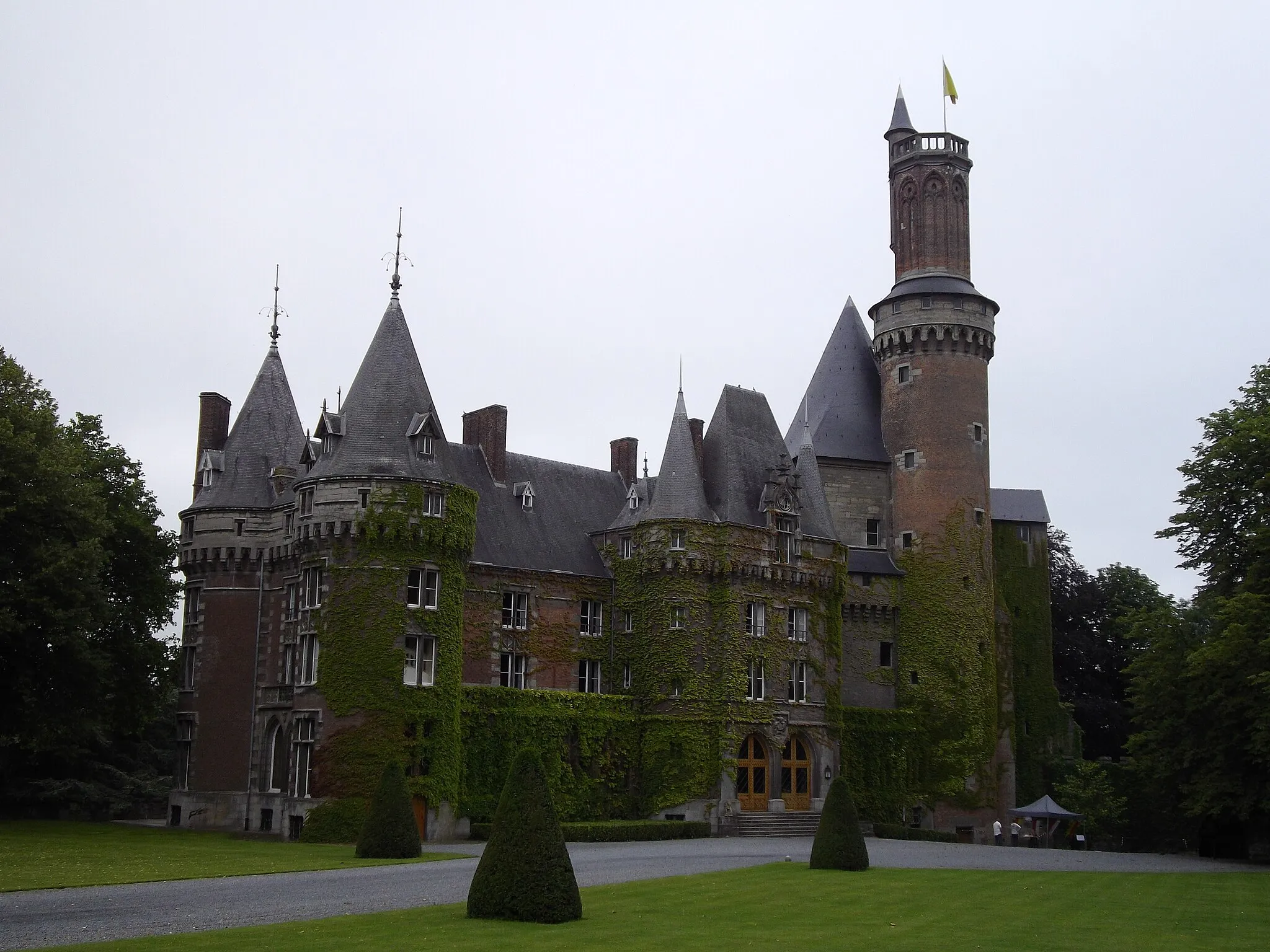
For experienced cyclists seeking a challenge, this road cycling route near Antoing offers both demanding climbs and breathtaking views. Starting in Antoing, you will journey through Quartes, Dergneau, Kerkem, and Rekelberg, before tackling the ascent to Ressegem and Voorde. The scenic route continues through the Bosberg and Akrenbos - Bois d'Acren, inviting spectacular panoramic vistas. You'll then head to Ormeignies and reach the impressive Château Daudregnies, where you can take a break and admire the historic architecture. The final leg of the ride takes you to Calonne, providing a satisfying conclusion to an epic cycling adventure. With a total elevation gain of 982 meters over a distance of 153 kilometers, this route is only suitable for very well-trained amateur cyclists or experienced riders seeking a challenging adventure.
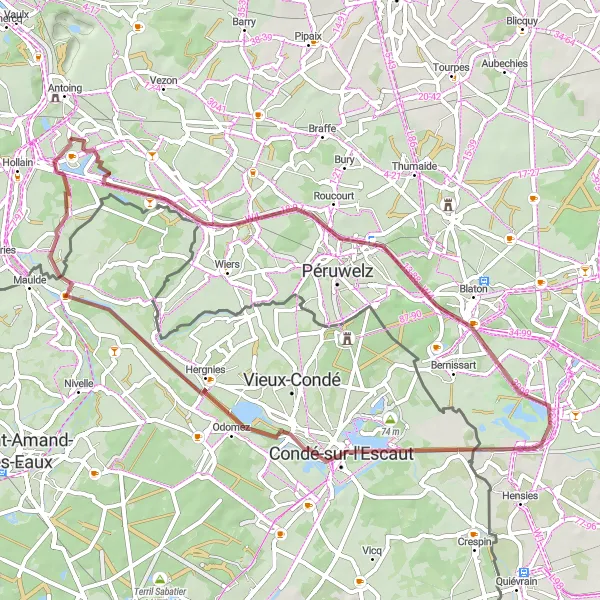
A gravel adventure through scenic landscapes and a stop in Callenelle
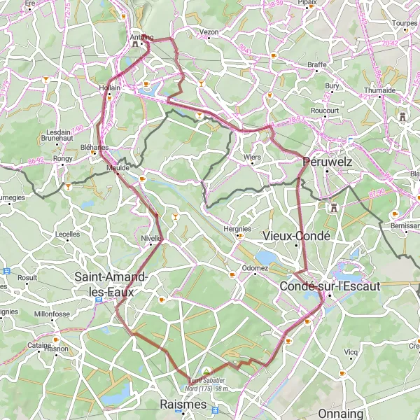
Embark on a gravel adventure from Antoing to Callenelle, immersing yourself in the captivating landscapes and off-road trails of the region. With a moderate ascent and a distance of 58 km, this ride is suitable for gravel enthusiasts looking for a scenic and diverse experience. Along the way, you'll have the opportunity to visit the charming village of Callenelle and discover its unique landmarks.
A scenic road cycling route with several highlights
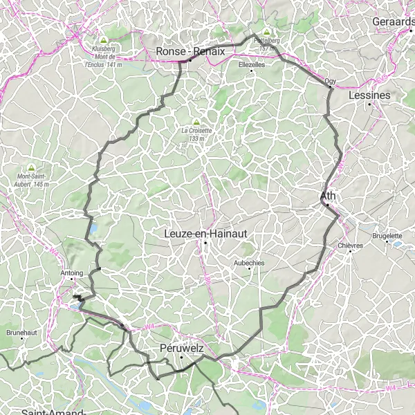
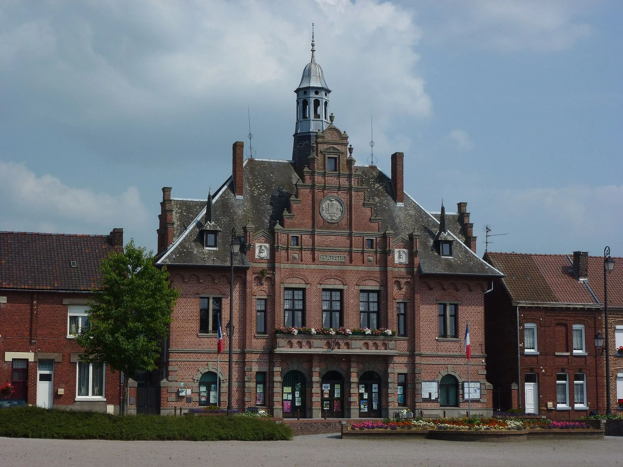
This road cycling route near Antoing takes you through scenic landscapes and beautiful countryside. Starting in Antoing, you will pass through the charming villages of Melles, Dergneau, Pottelberg, Ogy, and Wiers. Along the way, you will also have the opportunity to visit the historic Château Malaise and enjoy a breathtaking view. The route offers a challenging ascent, with a total elevation gain of 509 meters over a distance of 102 kilometers. Overall, this route is suitable for well-trained amateur cyclists who are looking for a mix of beautiful scenery and a challenging ride.
A gravel cycling route with a stop in Willemeau
This gravel route takes you from Antoing to Willemeau, offering a mix of off-road and scenic paved sections. With a moderate ascent and a distance of 45 km, this ride is suitable for gravel enthusiasts looking for a shorter adventure. Along the way, you'll have the opportunity to explore the charming village of Willemeau and its surroundings.
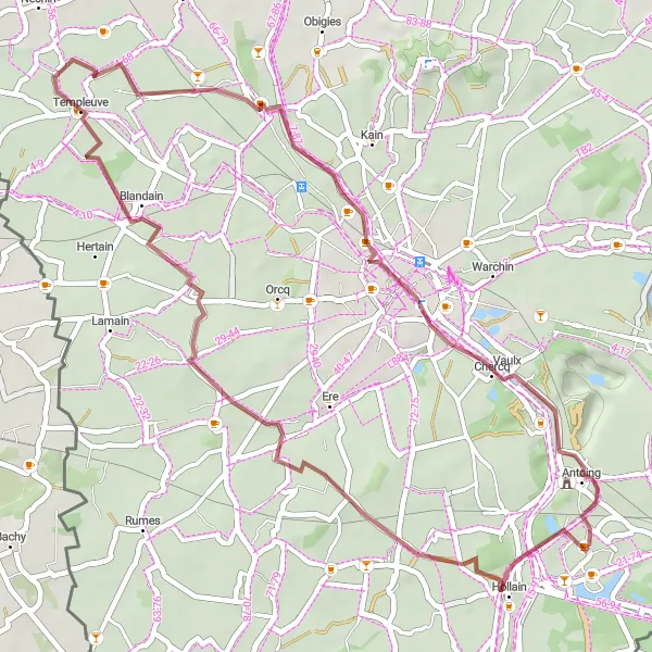
A gravel cycling route with historical and natural highlights
Experience the beauty of nature and delve into history on this gravel cycling route starting near Antoing. From Antoing, you will venture through the picturesque villages of Wez-Velvain, Genech, and Louvil, surrounded by stunning natural landscapes. Make sure to enjoy the view of the battlefield of Bouvines from the designated viewpoint. The route then takes you to the vibrant city of Tournai, famous for its rich cultural heritage and architectural wonders. Finally, you will return to Antoing, completing an exciting loop. With a total ascent of 157 meters over a distance of 55 kilometers, this gravel route is suitable for cyclists looking for a mix of history, nature, and adventure.
A scenic gravel journey with a stop in Laplaigne
Embark on a picturesque gravel journey from Antoing to Laplaigne, immersing yourself in the beauty of the surrounding landscapes. With a manageable ascent and a distance of 51 km, this ride is suitable for gravel enthusiasts of all levels. Along the way, you'll have the opportunity to explore the charming village of Laplaigne and take in the tranquil atmosphere of the countryside.

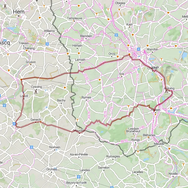
A scenic road cycling route with historical highlights
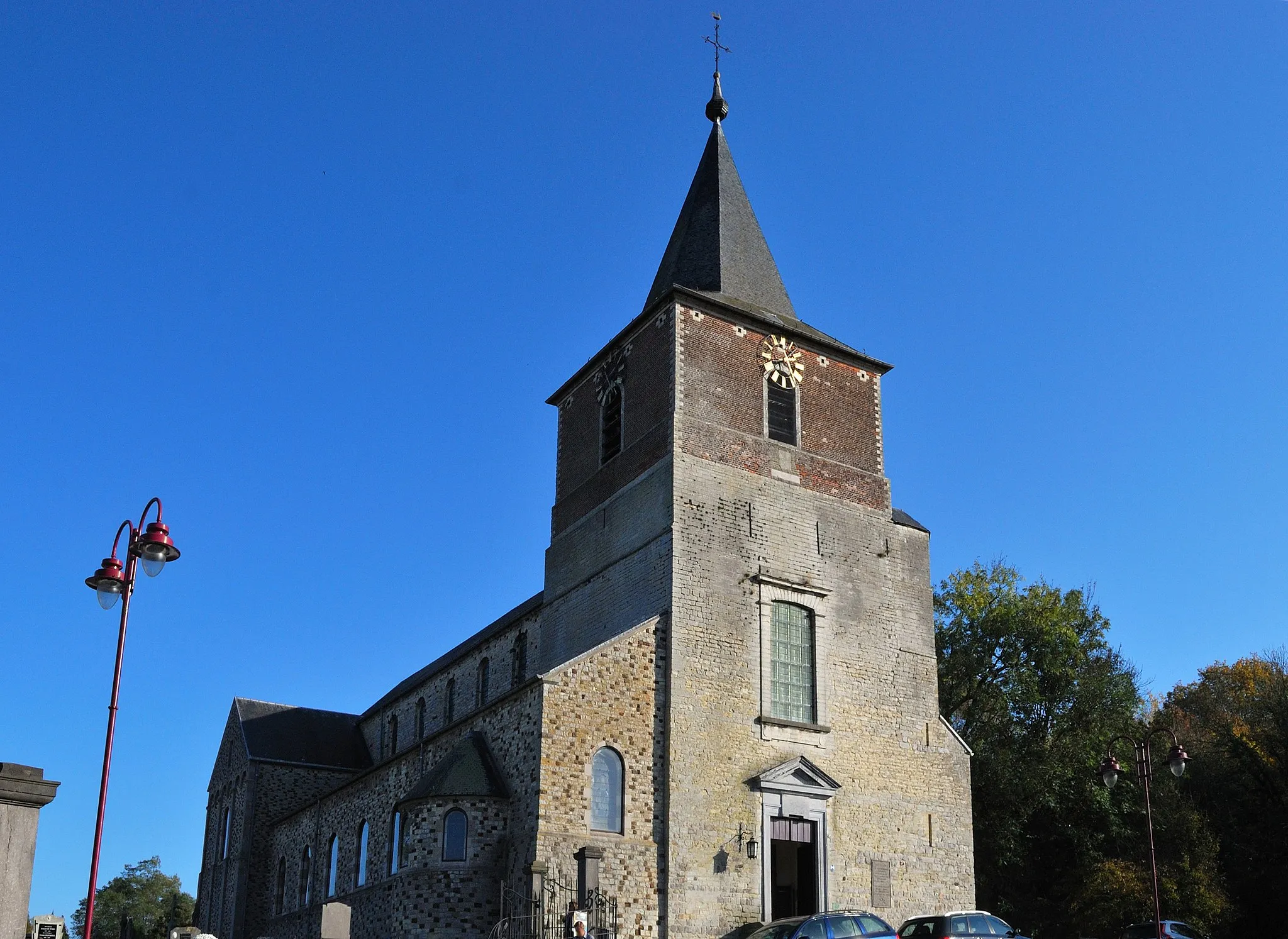
Explore historic landmarks and enjoy scenic views on this road cycling route near Antoing. Starting in Antoing, you will pass through Howardries and Cysoing, where you can appreciate the rich history of the region. As you continue, take in the breathtaking sight of the battlefield of Bouvines from the designated viewpoint. The charming villages of Orcq and Bruyelle are the perfect pit stops for refreshments and to soak in the local ambiance. With a total ascent of 138 meters over a distance of 53 kilometers, this route is suitable for well-trained amateur cyclists looking for a ride that combines history and scenic beauty.

A gravel cycling route with cultural and architectural highlights
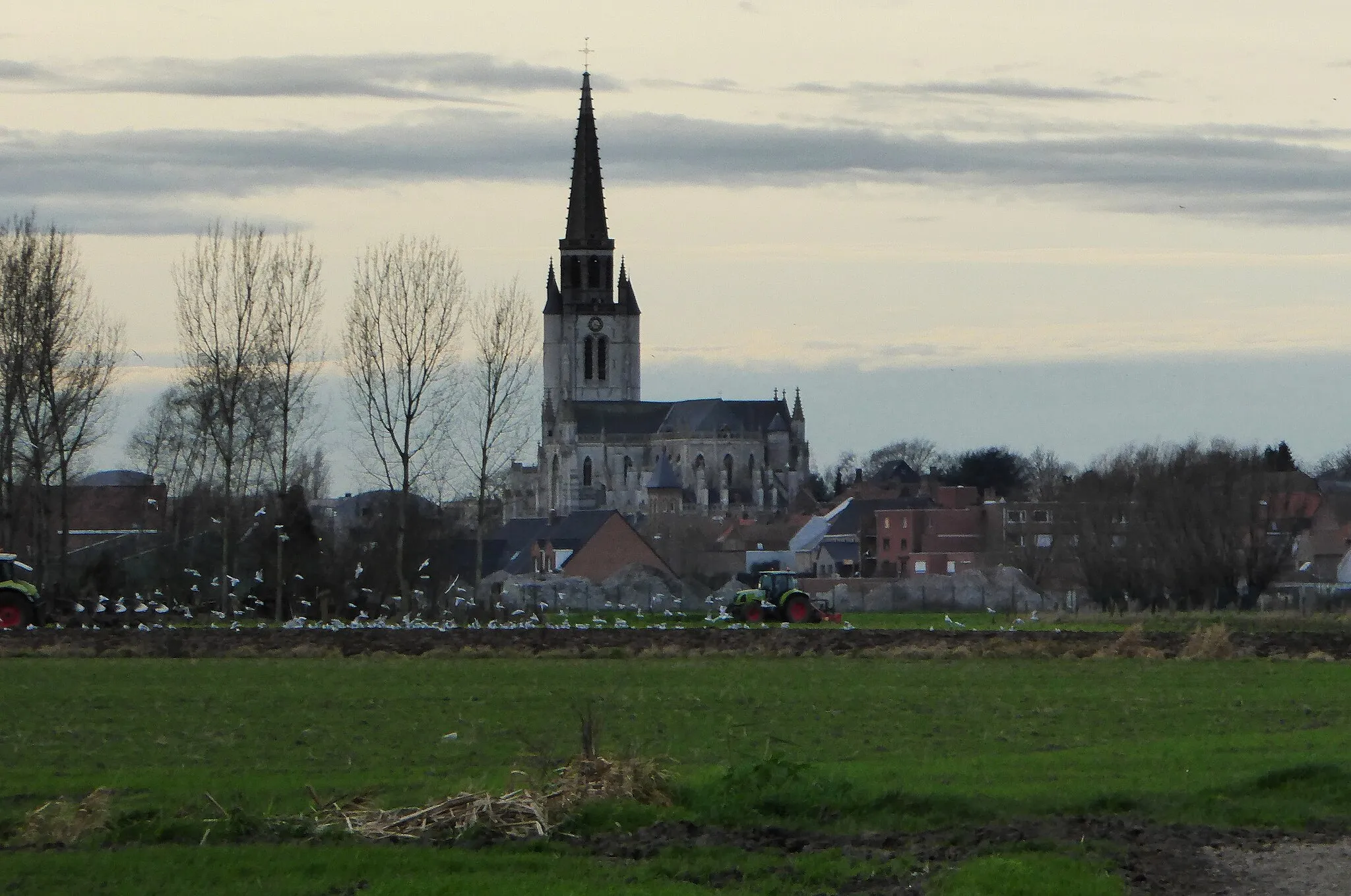
Immerse yourself in the cultural heritage of the region on this gravel cycling route starting near Antoing. From Antoing, you will pass through the scenic villages of Wez-Velvain and Esplechin, both known for their picturesque charm and peaceful ambiance. The route then takes you to the impressive Beffroi de Tournai, a UNESCO World Heritage site that offers stunning panoramic views of the city and surrounding areas. Finally, you will return to Antoing, completing the loop. With a total ascent of 104 meters over a distance of 39 kilometers, this gravel route is suitable for cyclists looking to explore the cultural and architectural highlights of the region.
Cycling routes nearby:

Nearby regions: