Cycle through history and natural beauty in Nord-Pas de Calais
Cycling routes from Mortagne-du-Nord
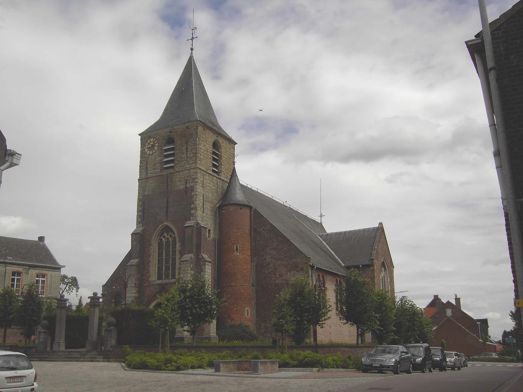
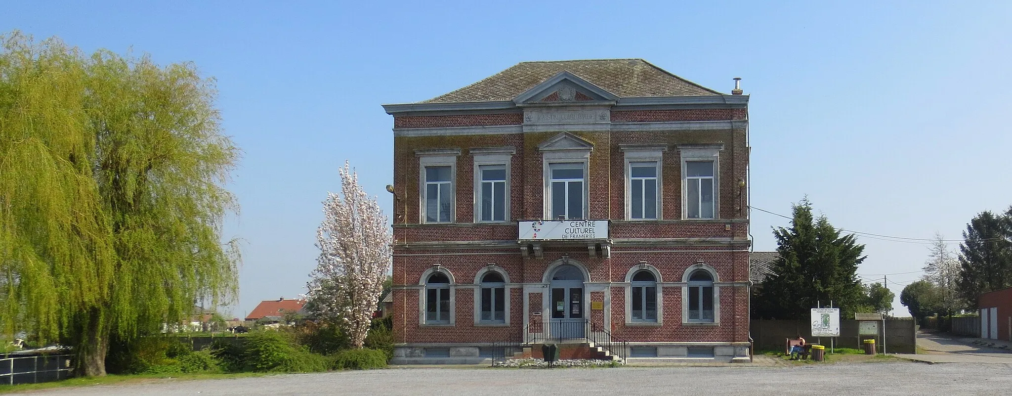
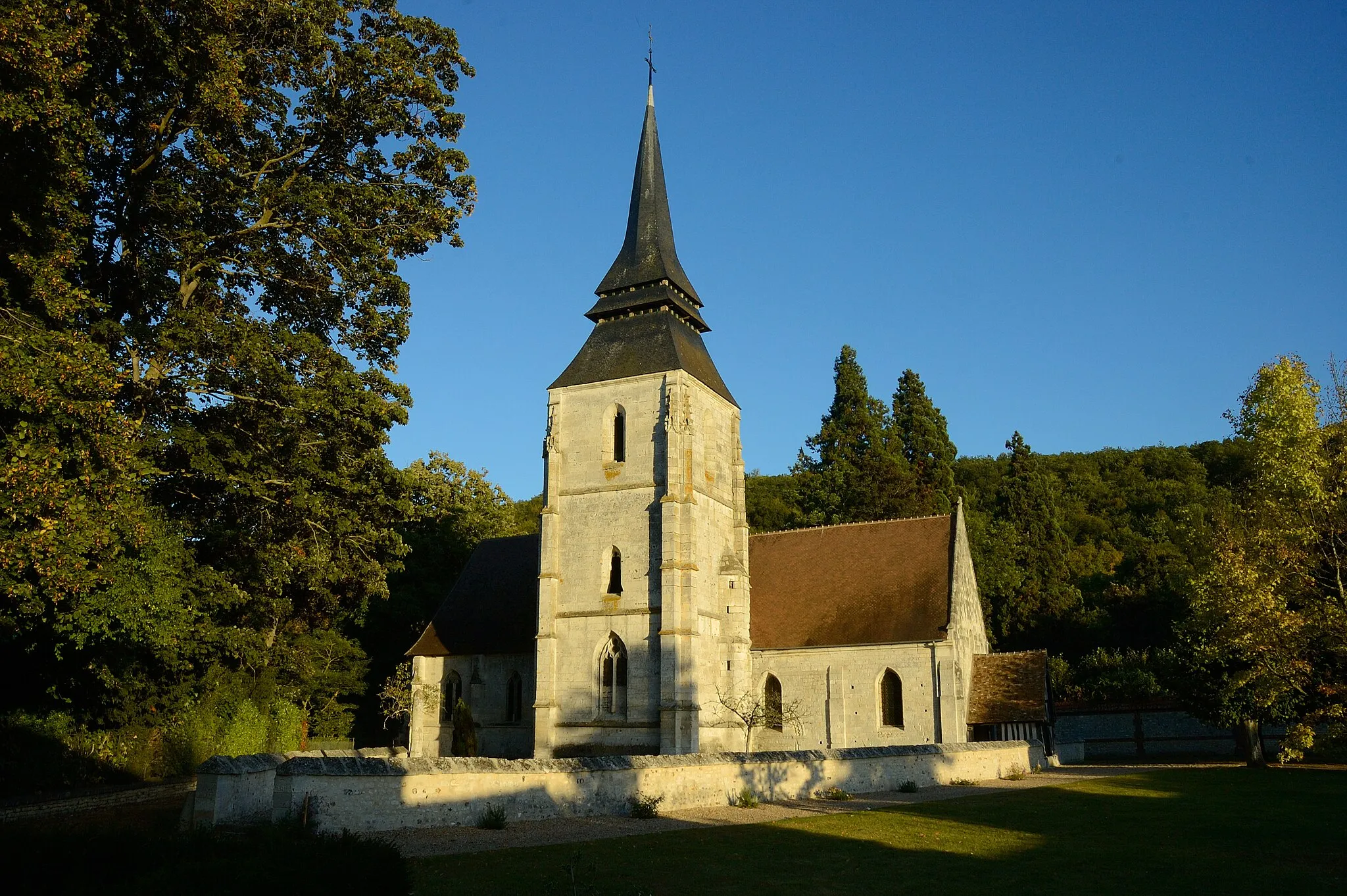
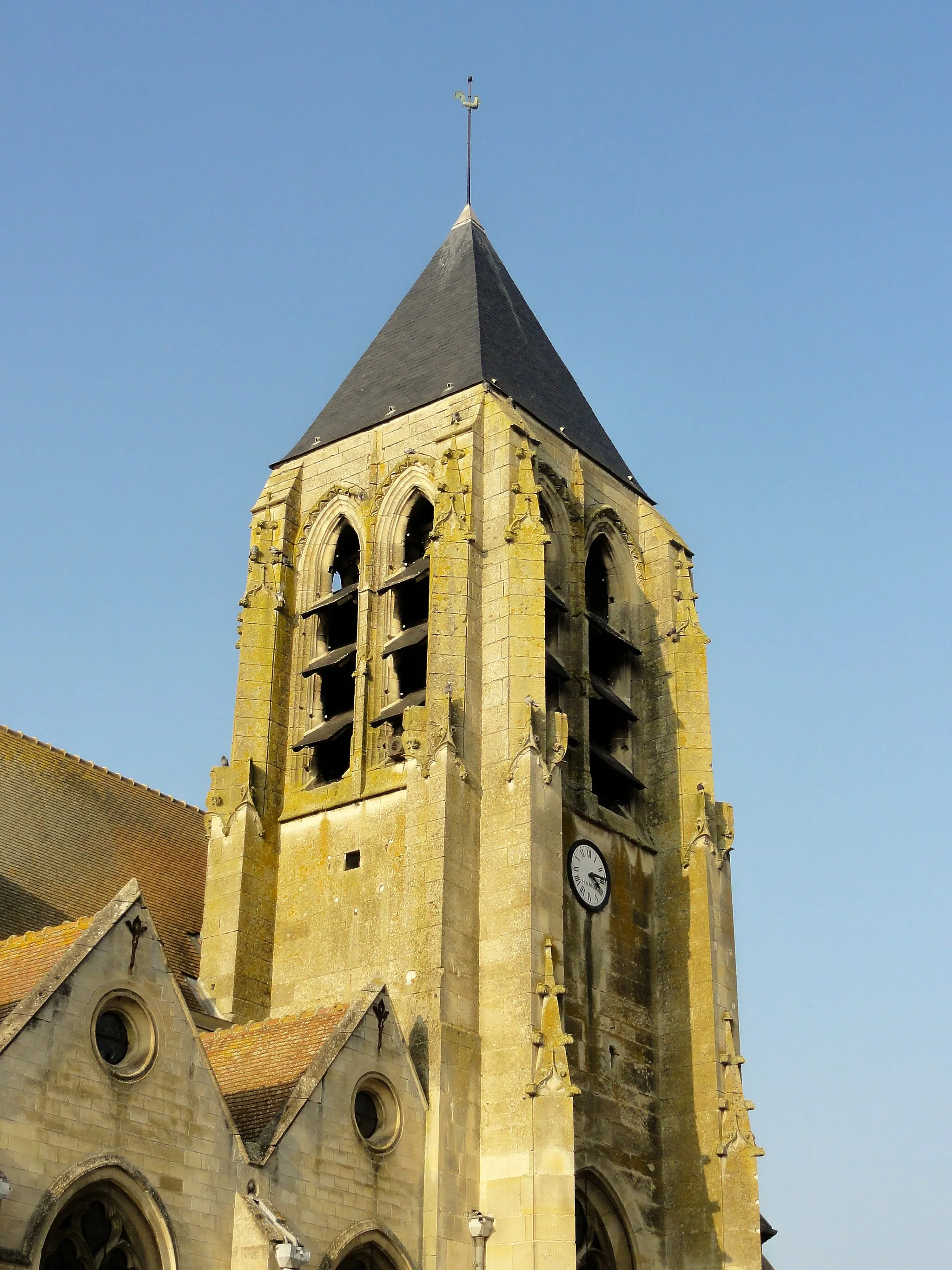
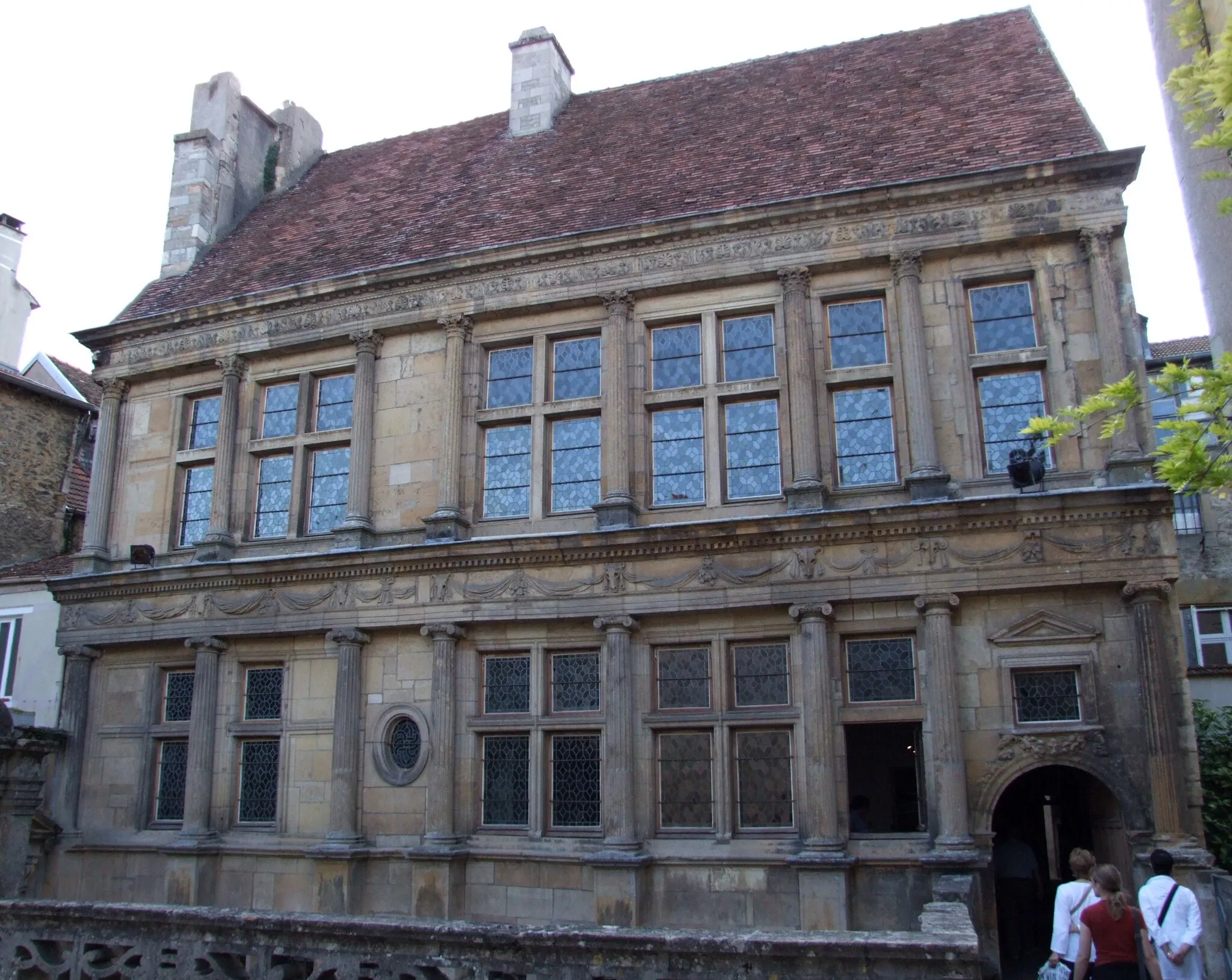
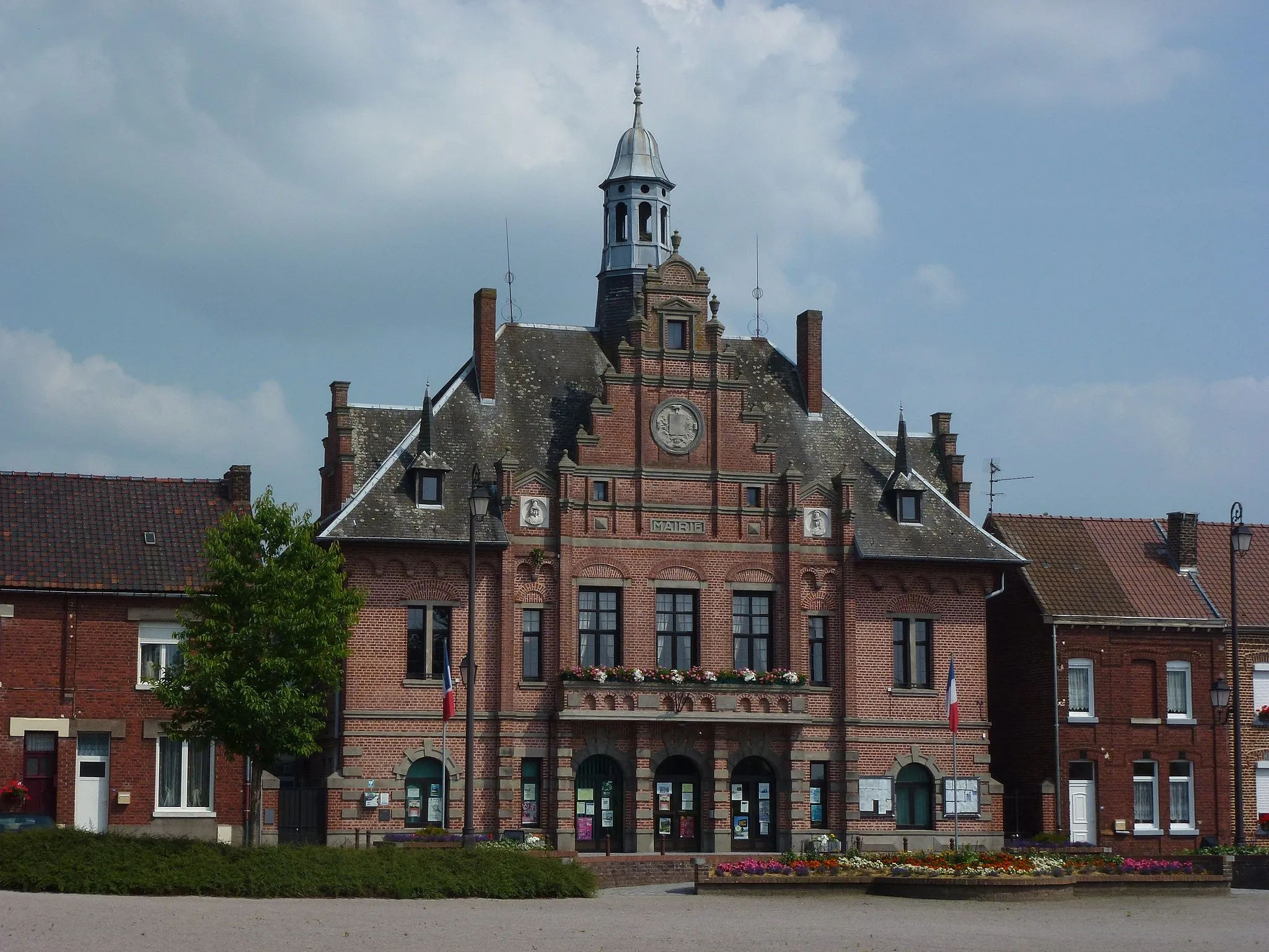
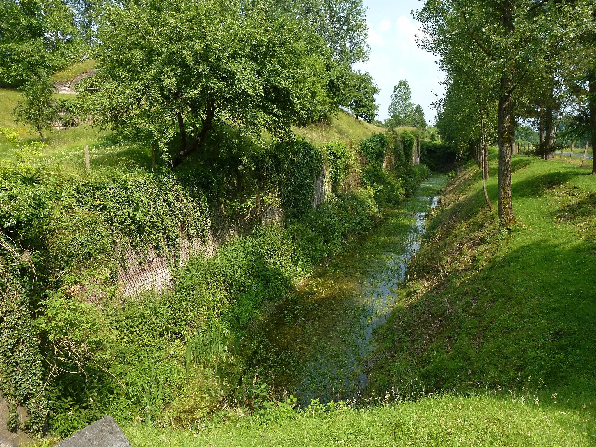
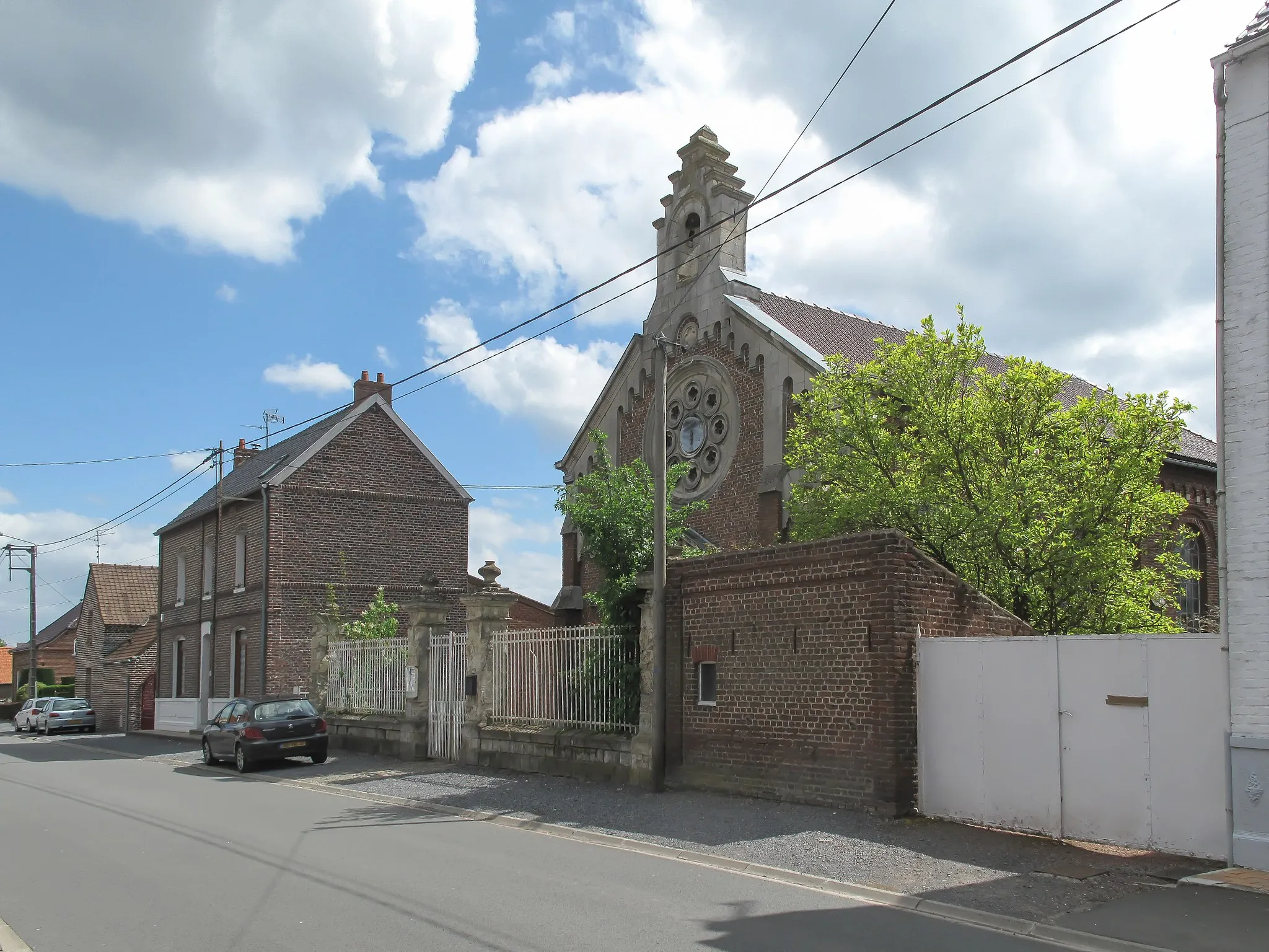
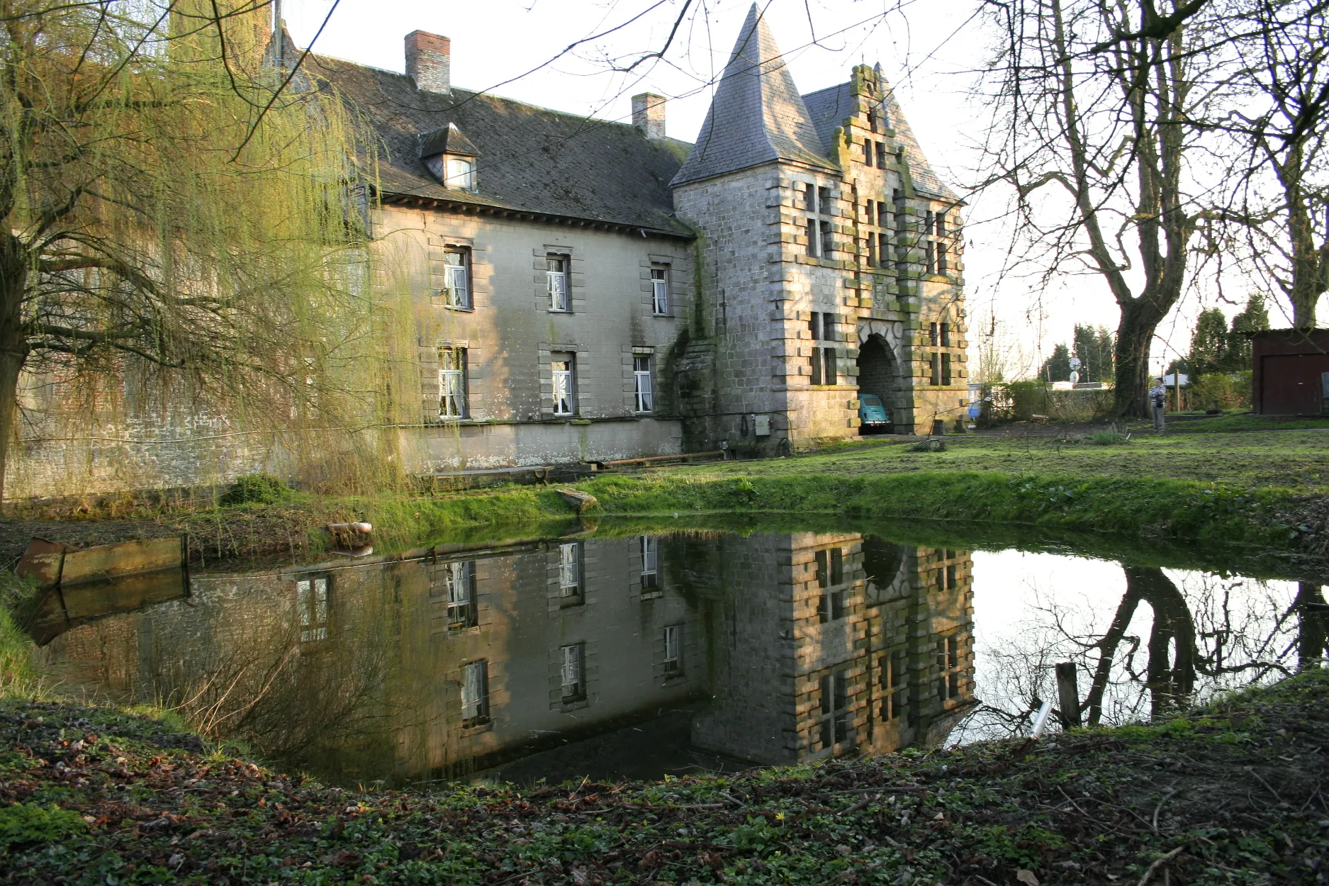
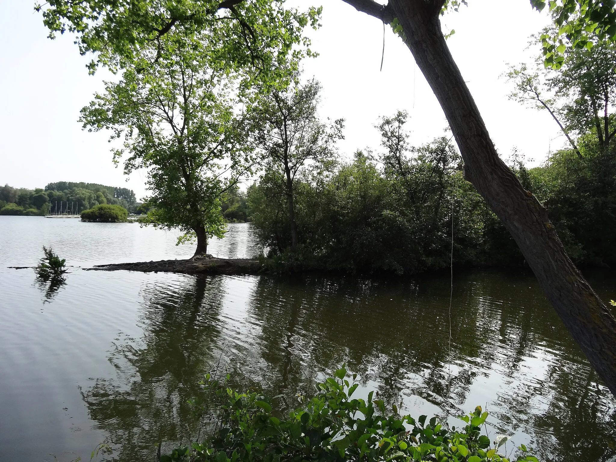
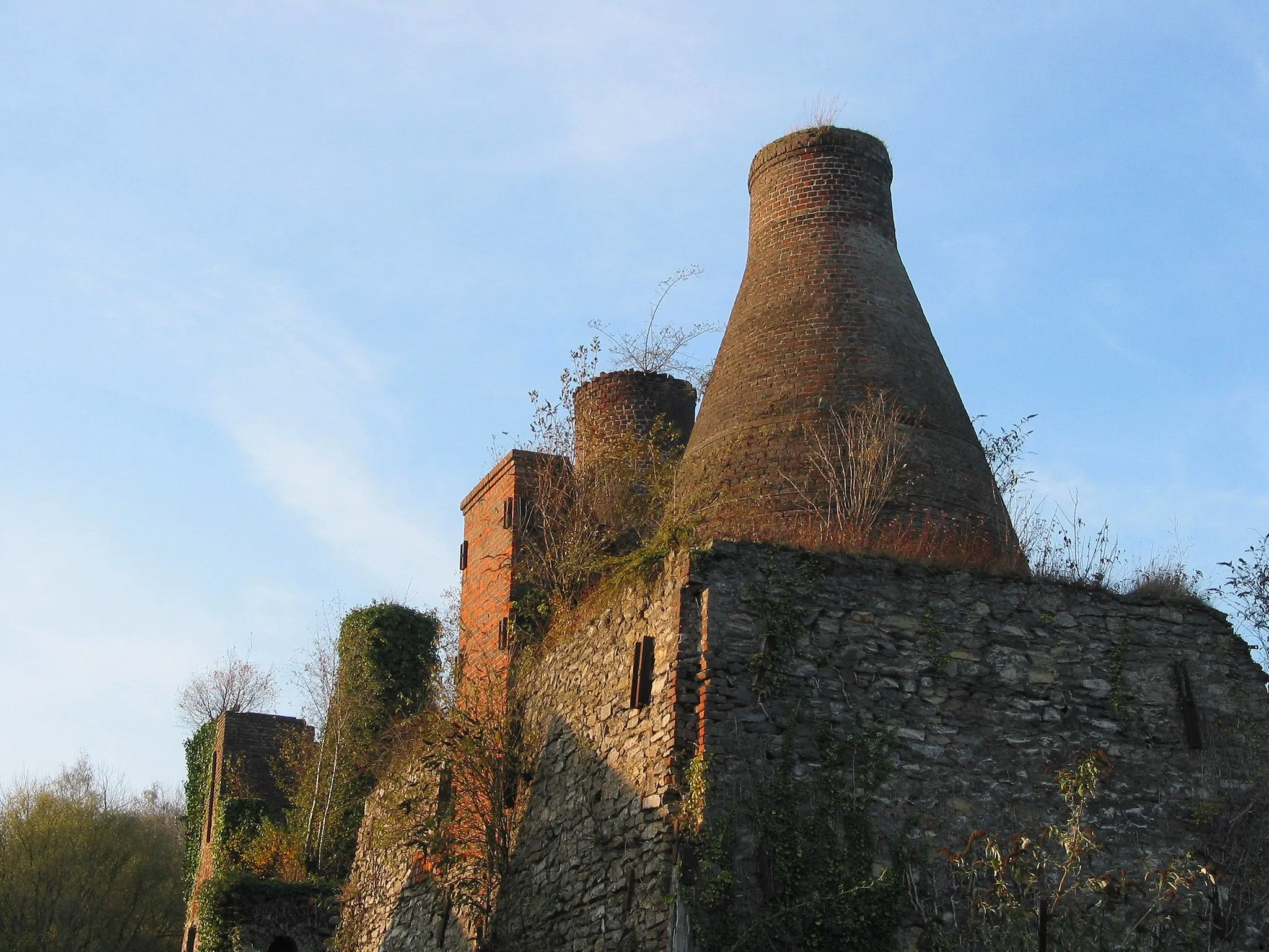
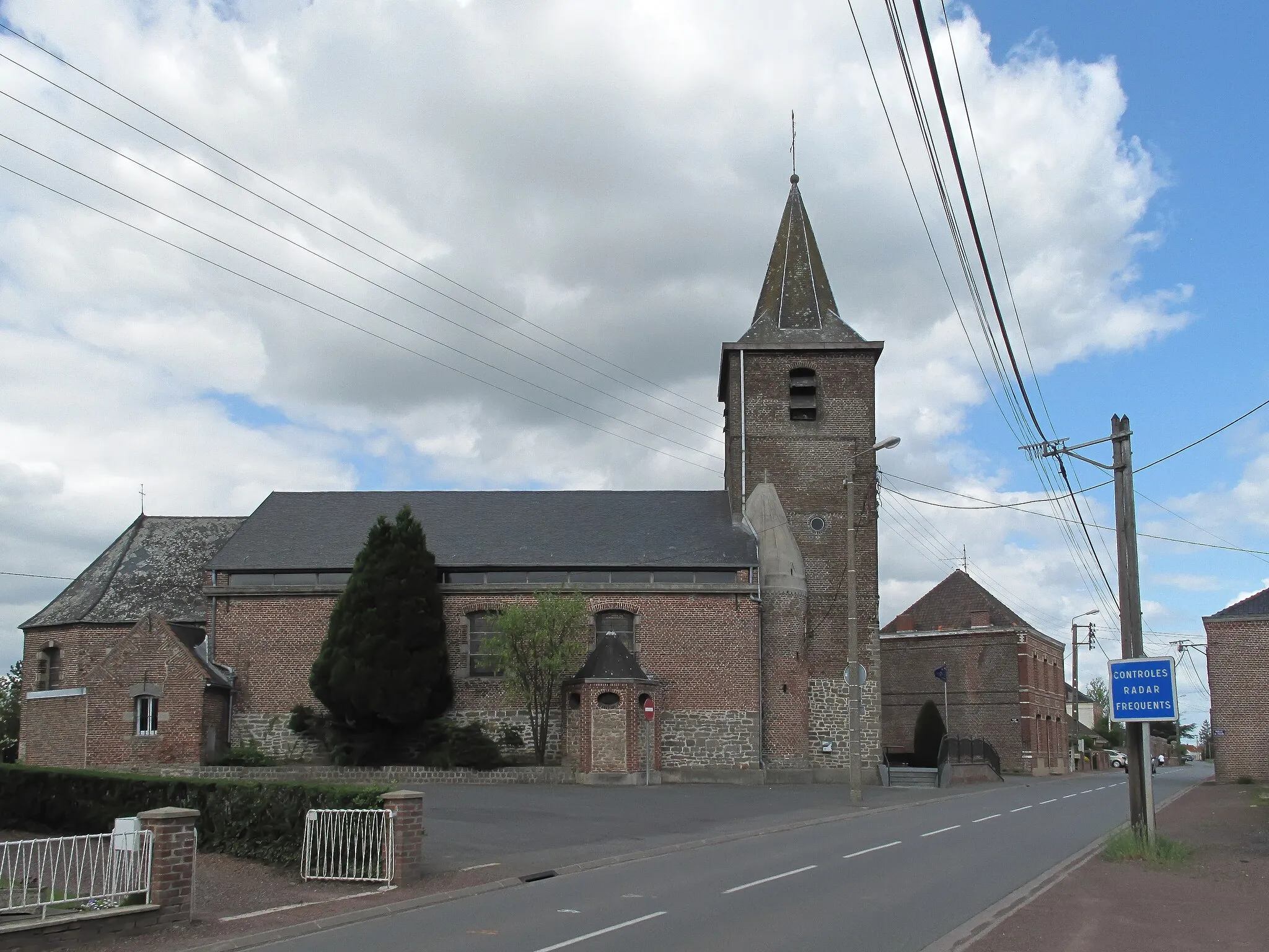
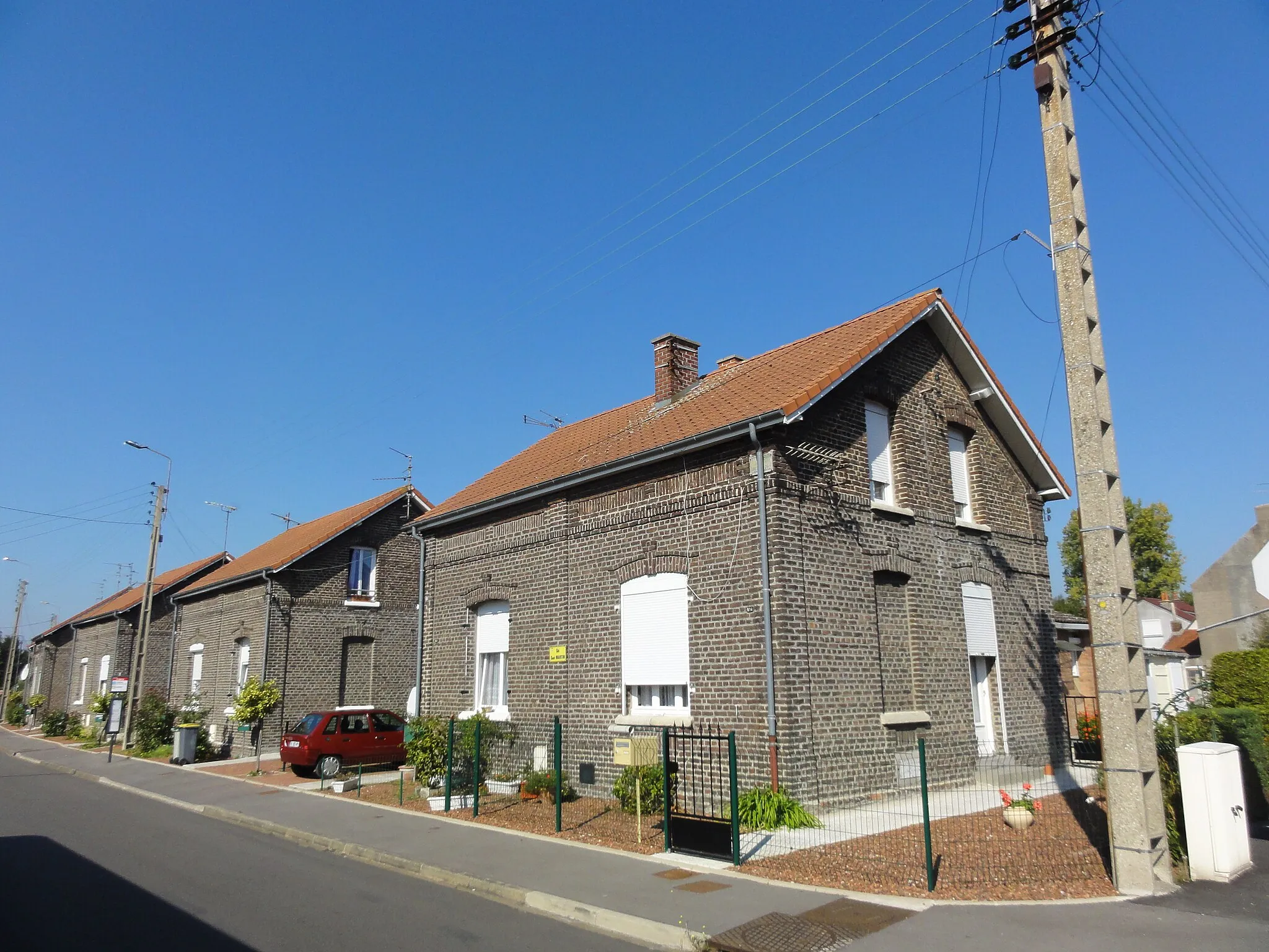
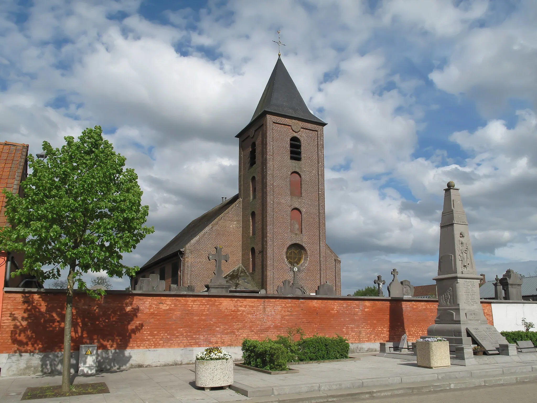
Mortagne-du-Nord, located in Nord-Pas de Calais, France, is a wonderful region for road and gravel cycling. The locality offers a range of terrain options, from flatter routes along canal paths to more challenging rides through hilly landscapes. Cyclists can immerse themselves in the region's cultural heritage by exploring historic windmills and charming villages. Close to Mortagne-du-Nord, cyclists can also discover the stunning Forest of Raismes-Saint-Amand-Wallers, which provides nature-lovers with a peaceful escape. With its diverse cycling opportunities and cultural attractions, Mortagne-du-Nord is a hidden gem for cyclists seeking adventure and exploration.
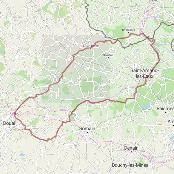
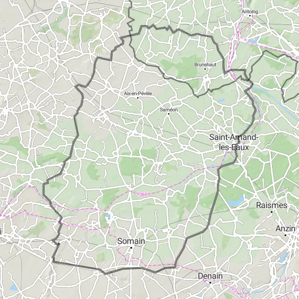
The Château-l'Abbaye Road
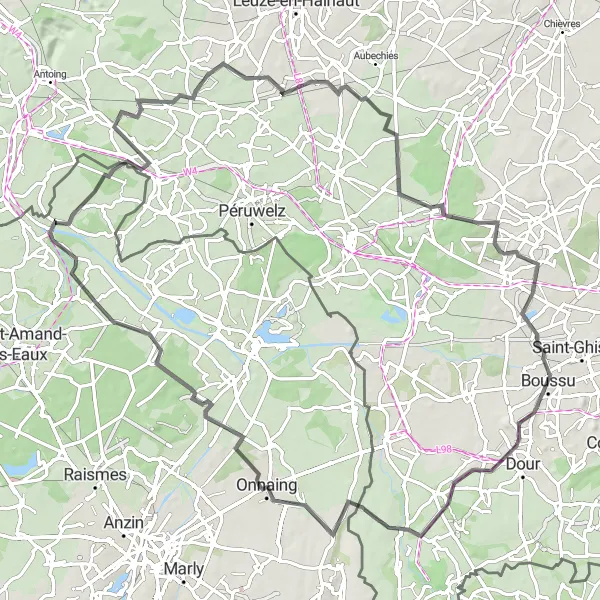
Cycling through scenic landscapes and historic sites
This route takes you through picturesque landscapes and offers glimpses of history along the way. With a moderate difficulty level, it is suitable for well-trained amateurs. The route features a total ascent of 221 meters and covers a distance of 86 kilometers.
The Gravel Adventure - Bis
An off-road cycling journey through less-traveled paths
This gravel route takes you on a scenic journey through less-traveled paths and hidden gems. With a moderate difficulty level, it is suitable for well-trained amateurs. The route features a total ascent of 144 meters and covers a distance of 47 kilometers.
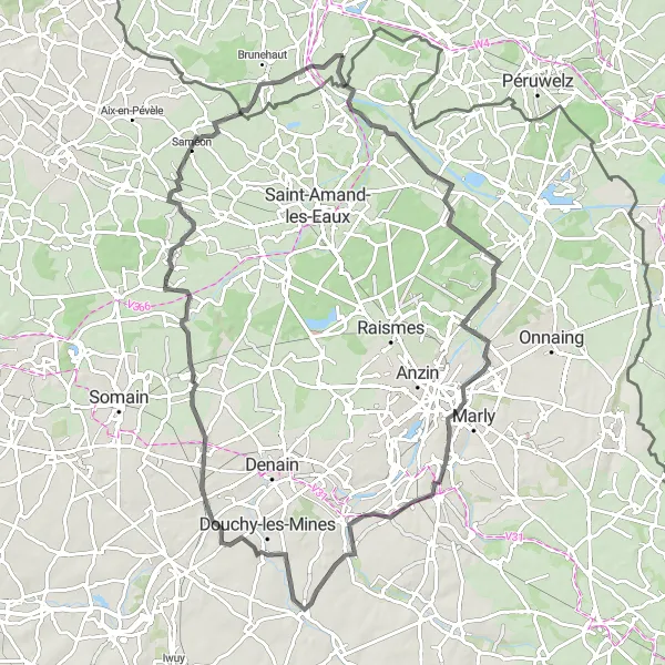
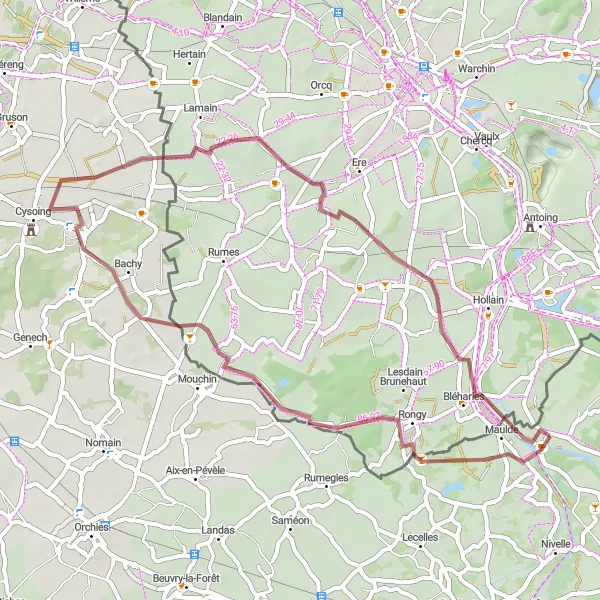
Gravel Adventure
An adventurous gravel cycling route near Mortagne-du-Nord
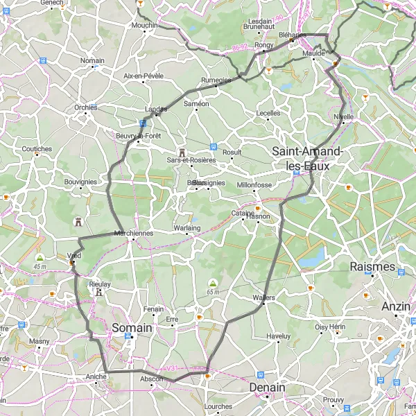
The Gravel Adventure is a thrilling off-road cycling route that starts near Mortagne-du-Nord. With a distance of 82 km and an ascent of 147 meters, this route offers a challenging terrain for experienced gravel cyclists. The scenic beauty of the countryside and the unique gravel trails make it a memorable journey. Highlights of this route include the historic village of Thun-Saint-Amand, the charming town of Marchiennes, and the picturesque Ponton bridge. With a difficulty level of 4 and epicness rating of 3, this route is perfect for cyclists seeking adventure and stunning natural landscapes.
The Thun-Saint-Amand Road
A scenic road cycling route with historical highlights
This road cycling route takes you through scenic landscapes and offers glimpses of historical sites along the way. With a moderate difficulty level, it is suitable for well-trained amateurs. The route features a total ascent of 206 meters and covers a distance of 89 kilometers.
The Hidden Gem Gravel Route
Exploring hidden gems and natural beauty
This gravel route takes you on a journey to discover hidden gems and enjoy the beauty of nature. With a moderate difficulty level, it is suitable for well-trained amateurs. The route features a total ascent of 160 meters and covers a distance of 47 kilometers.
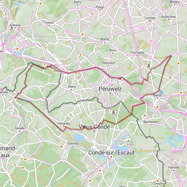
Scenic Gravel Route
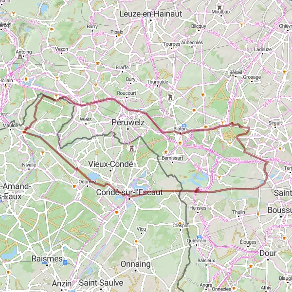
A scenic gravel cycling adventure near Mortagne-du-Nord
The Scenic Gravel Route is a thrilling off-road cycling adventure that starts near Mortagne-du-Nord. With a distance of 63 km and an ascent of 156 meters, this route provides a challenging terrain for gravel enthusiasts. Highlights of the route include the picturesque village of Callenelle, the charming town of Blaton, and the idyllic setting of Hautrage. Offering a moderate difficulty level and an epicness rating of 3, this route is perfect for cyclists looking to explore the beautiful landscapes and off-the-beaten-path trails of the region.
Quiévrain Challenge
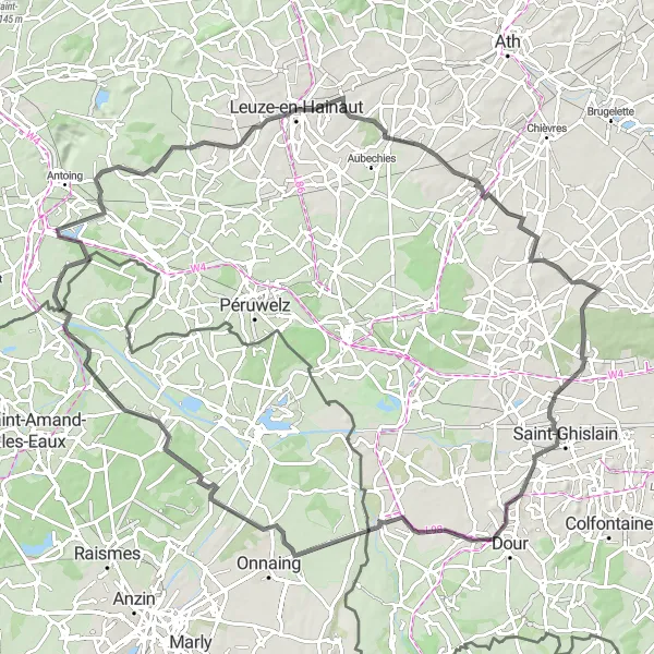
An epic road cycling challenge near Mortagne-du-Nord
The Quiévrain Challenge is an epic road cycling route that offers a thrilling adventure near Mortagne-du-Nord. With a distance of 94 km and an ascent of 339 meters, this route challenges even the most seasoned cyclists. Highlights of the route include the picturesque village of Pipaix, the charming town of Huissignies, and the stunning Boussu castle. With a difficulty level of 5 and an epicness rating of 5, this route is perfect for cyclists seeking a legendary and unforgettable experience.
A challenging road cycling route through scenic countryside near Mortagne-du-Nord
The Exploring the Countryside route is an 89 km road cycling journey that promises a challenging experience for well-trained amateur cyclists. With an ascent of 400 meters, this route offers breathtaking views of the countryside and takes riders through picturesque villages and scenic landscapes. Highlights of the route include the beautiful Maubray village, the rustic charm of Willaupuis, and the majestic Terril Belle Vue 8. With a difficulty level of 5 and an epicness rating of 4, this route offers a fantastic adventure for cycling enthusiasts.
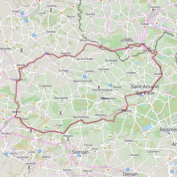
A scenic road cycling loop starting near Mortagne-du-Nord
The Thun-Saint-Amand Loop is a scenic road cycling route that starts near Mortagne-du-Nord. This 65 km route features 124 meters of ascent and takes riders through charming villages and picturesque countryside. The route is suitable for well-trained amateur cyclists and offers a moderate level of difficulty. With highlights including the historic village of Thun-Saint-Amand, the picturesque town of Hélesmes, and the stunning Ponton bridge, this route provides cyclists with a unique and enjoyable cycling experience.
The Gravel Adventure
An off-road cycling adventure through hidden gems
This gravel route takes you off the beaten path and into the wilderness. With a moderate difficulty level, it is suitable for well-trained amateurs. The route features a total ascent of 96 meters and covers a distance of 73 kilometers.
Cycling routes nearby:
Nearby regions: