Engis to Donceel Road Cycling Route
A road cycling route starting from Donceel
Experience the beautiful landscapes from Engis to Donceel
Map
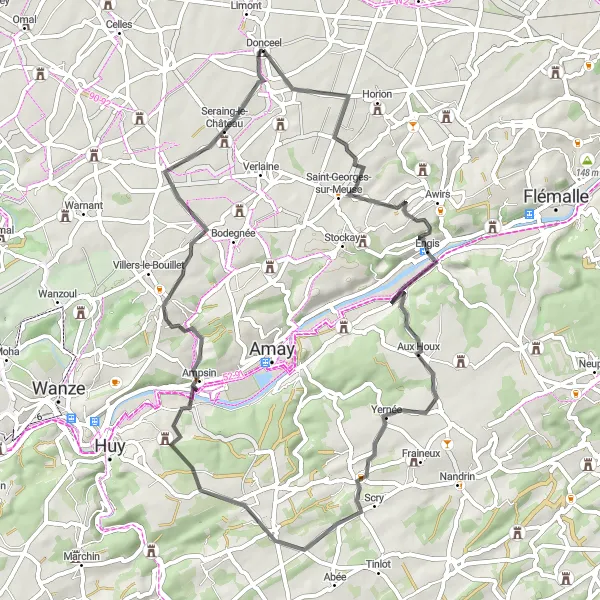
This road cycling route takes you through picturesque villages and stunning landscapes from Engis to Donceel. With a distance of 57 kilometers and an elevation gain of 630 meters, it offers a challenging but rewarding journey. The route is ideal for well-trained amateur cyclists who enjoy both scenic beauty and a bit of a physical challenge.
road
57 km
630 m
Tough
Route profile
Highlights on the route
0 km
0 km
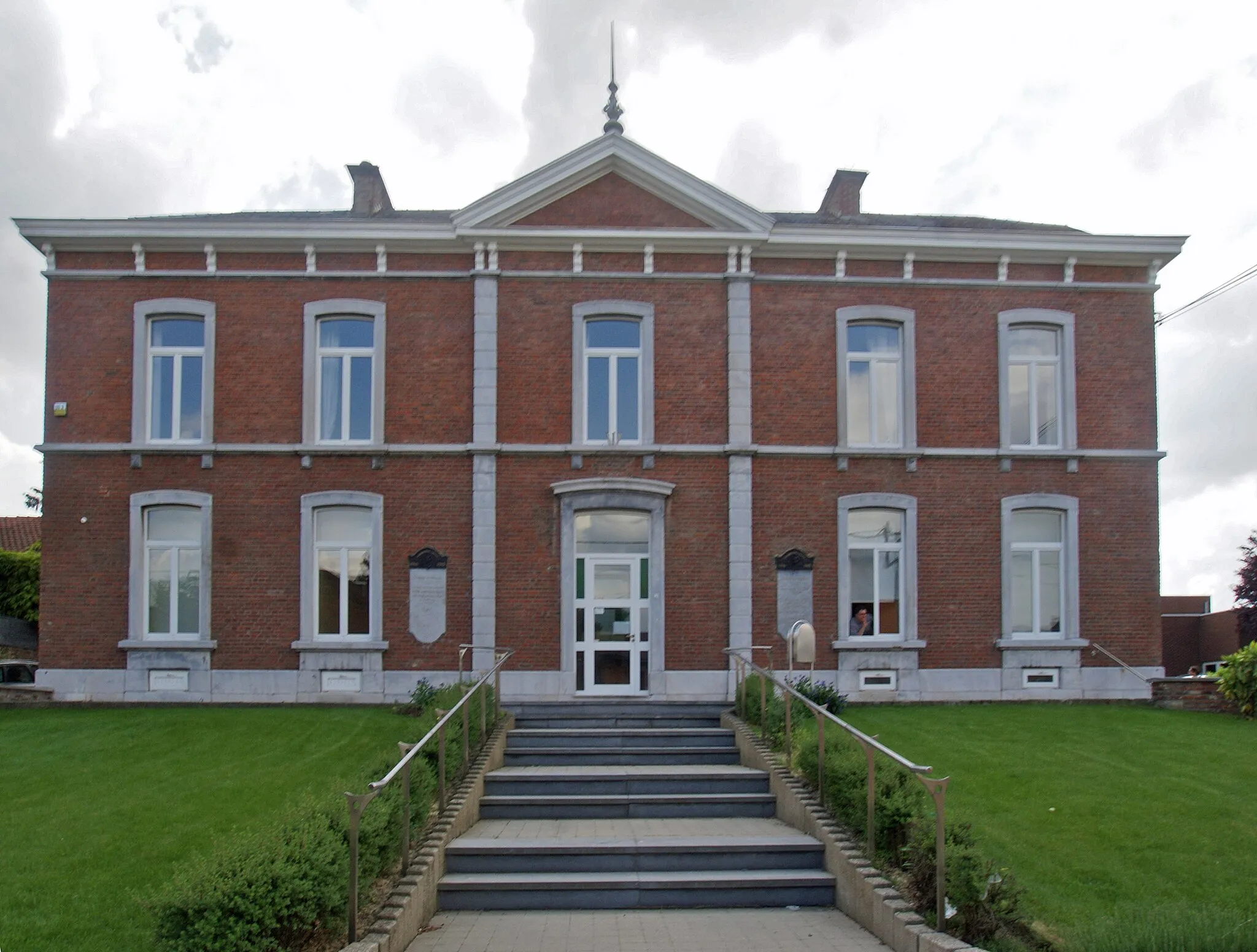
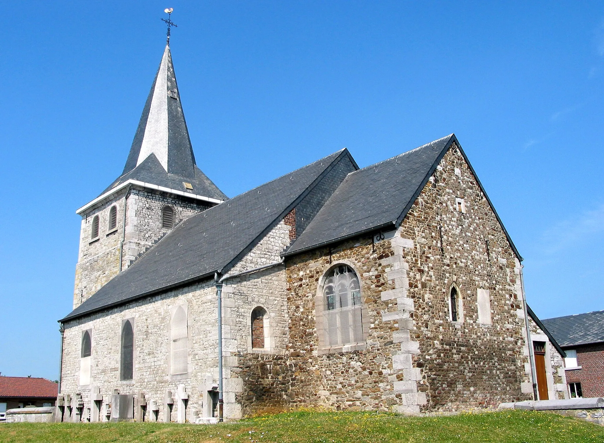
Start: Donceel Village centerDonceel: Picturesque landscapes and legendary climbs in Liège.
Donceel, situated in the Province of Liège in Belgium, offers excellent cycling options for both road and gravel cyclists. The locality is known for its rolling hills and picturesque landscapes, making it a pleasure to explore on two wheels. Cyclists can discover beautiful Belgian countryside as they navigate through quiet roads and charming villages. Donceel's central location provides easy access to iconic climbs like the famous Muur van Hoei. With its cycling-friendly atmosphere and scenic beauty, Donceel is a top destination for cyclists seeking rewarding rides in the Province of Liège.14 km
14 km
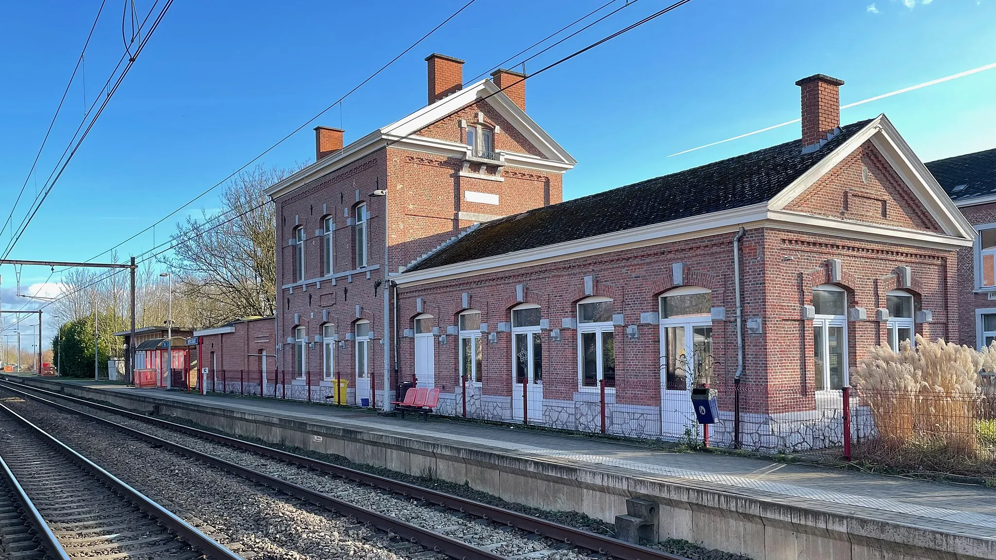
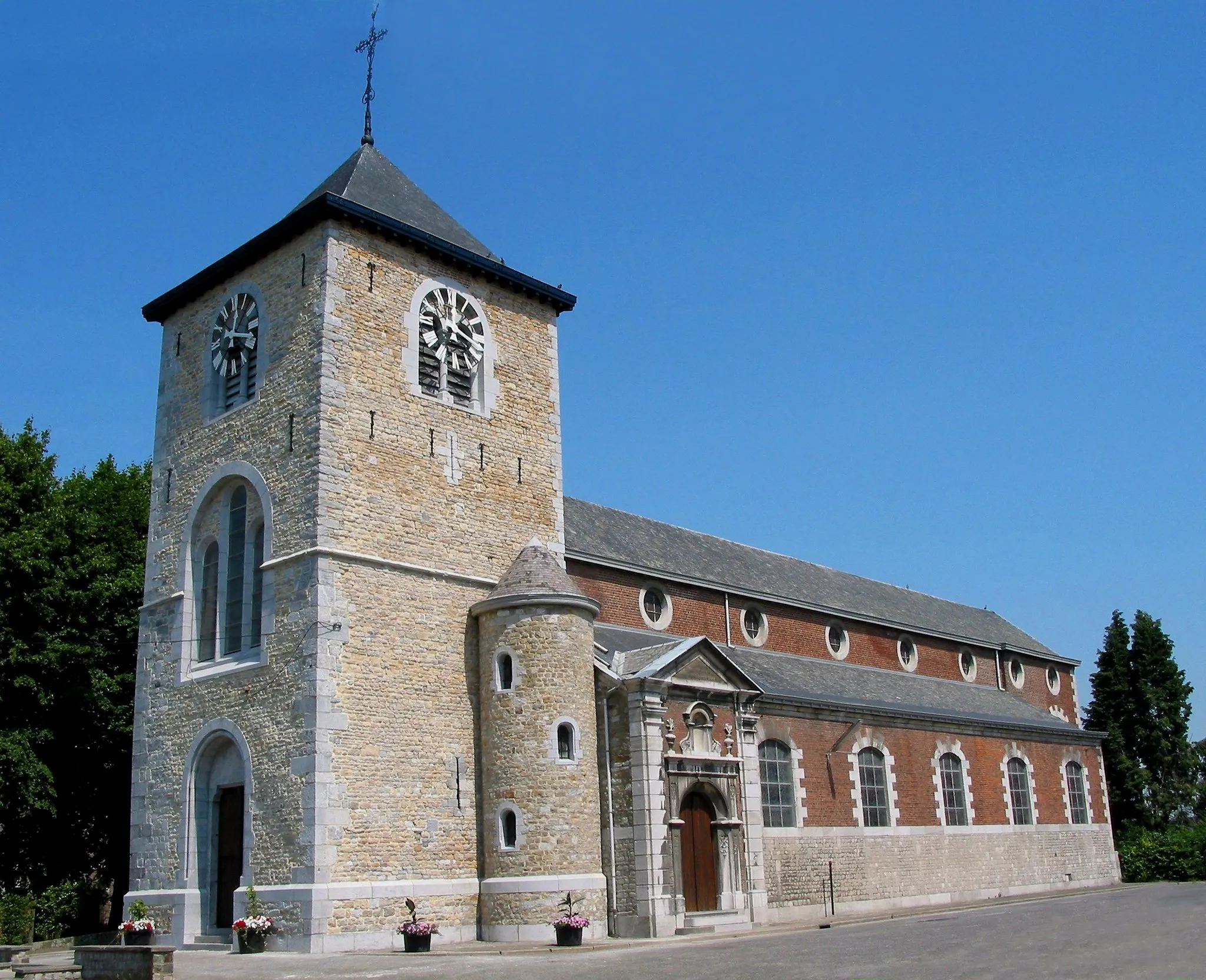
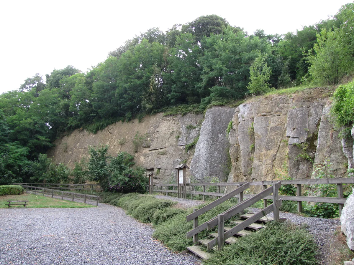
EngisVillageEngis: Explore the charming town known for its rich history and the famous Engis Cave.
27 km
27 km
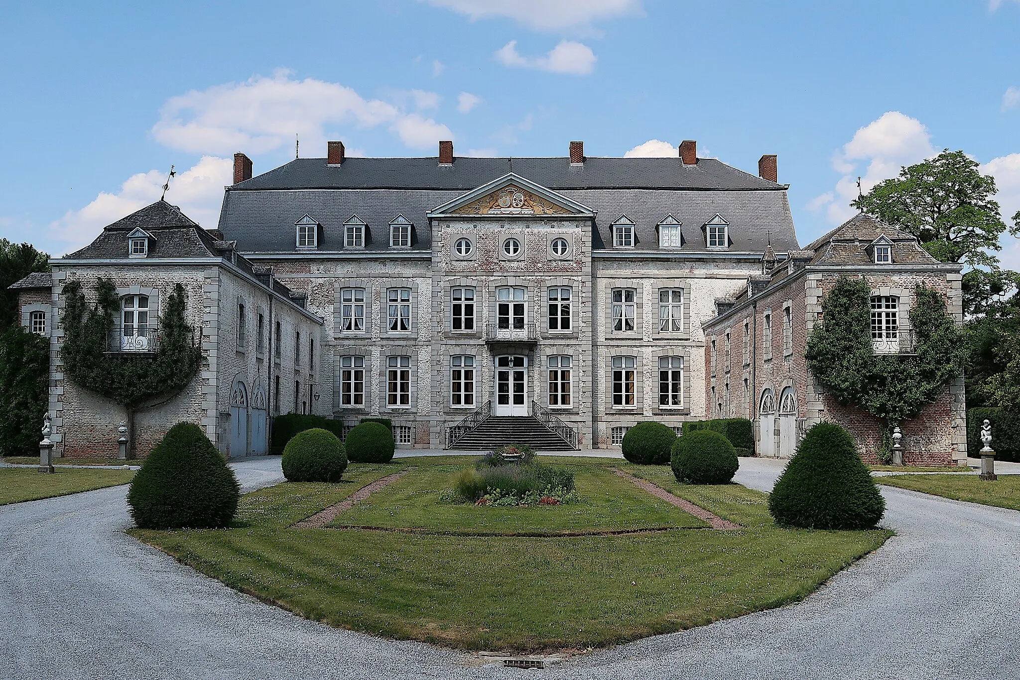
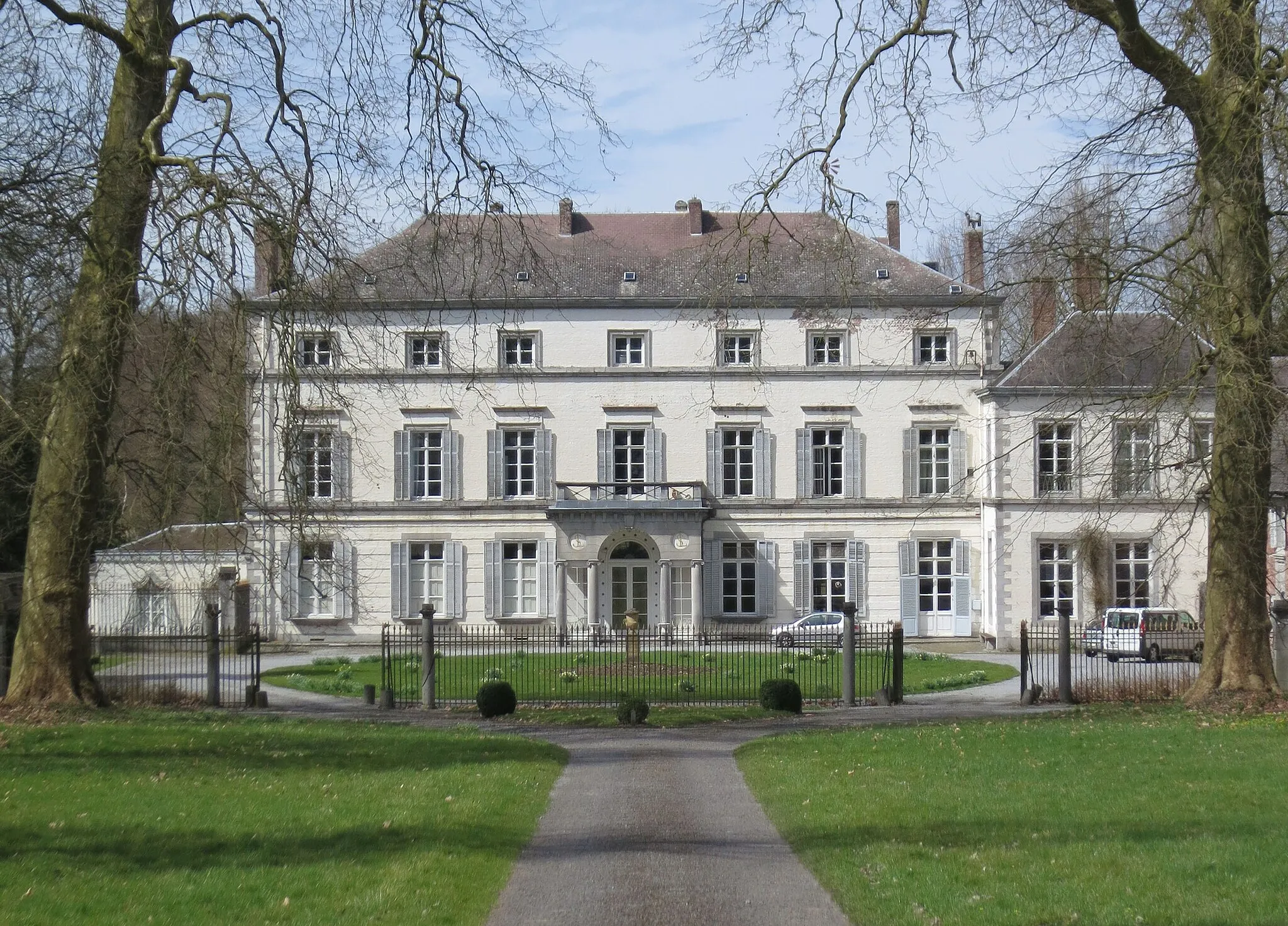
Villers-le-TempleVillageVillers-le-Temple: Admire the beautiful Villers-le-Temple Castle, a historic landmark in the region.
41 km
41 km
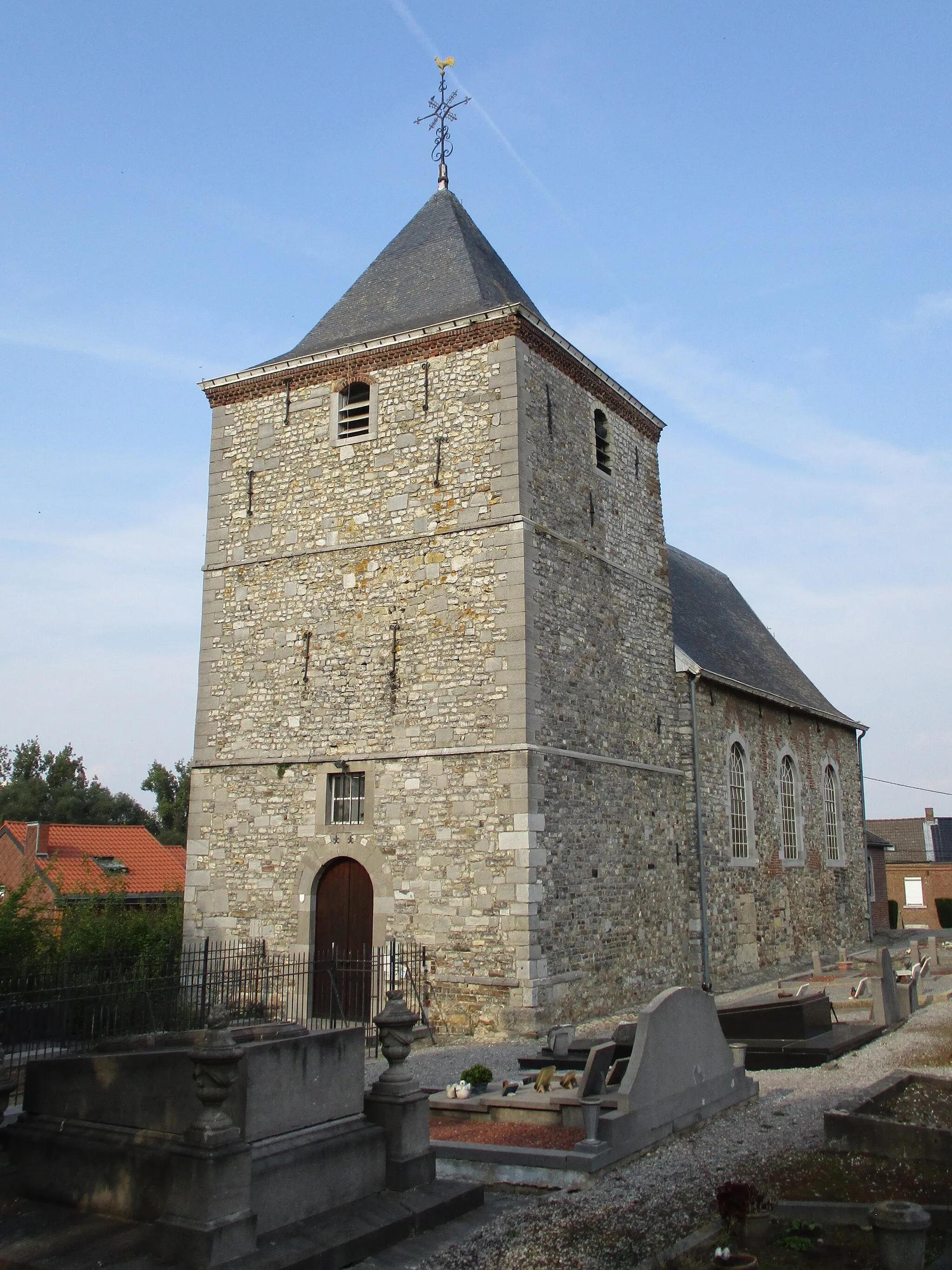
AmpsinVillageAmpsin: Take a break near the Meuse river and enjoy the scenic views.
57 km
57 km
DonceelVillageDonceel: Finish the route in Donceel, a quiet Belgian village with a peaceful atmosphere.
57 km
57 km
Finish: Donceel Village centerDonceel: Picturesque landscapes and legendary climbs in Liège.
Cycling routes from Donceel:
Cycling routes nearby: