Elsenborn Road Cycling Route
A road cycling route starting from Elsenborn
Cycle through the beautiful countryside near Elsenborn
Map
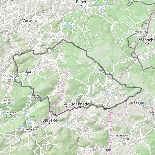
This road cycling route near Elsenborn offers a challenging ride for well-trained cyclists. With a total ascent of 1,385 meters and a distance of 87 kilometers, this route is perfect for those looking for a tough workout. The highlights along the route include Nidrum, a charming village, and the Signal de Botrange, which is the highest point in Belgium.
road
87 km
1385 m
Tough
Route profile
Highlights on the route
0 km
0 km
Start: Elsenborn Village centerElsenborn: Cycling paradise in the heart of Belgium.
Elsenborn is a locality in Belgium, specifically in the province of Liège. From a cyclist's perspective, Elsenborn offers picturesque countryside roads perfect for road and gravel cycling. Cyclists can enjoy the rolling hills and quiet country lanes, providing a peaceful and scenic ride. The area is also popular for its challenging climbs, with the Hautes Fagnes being a well-known attraction for cycling enthusiasts. With its beautiful landscapes and cycling-friendly routes, Elsenborn is a great destination for both local and international cyclists.2 km
2 km
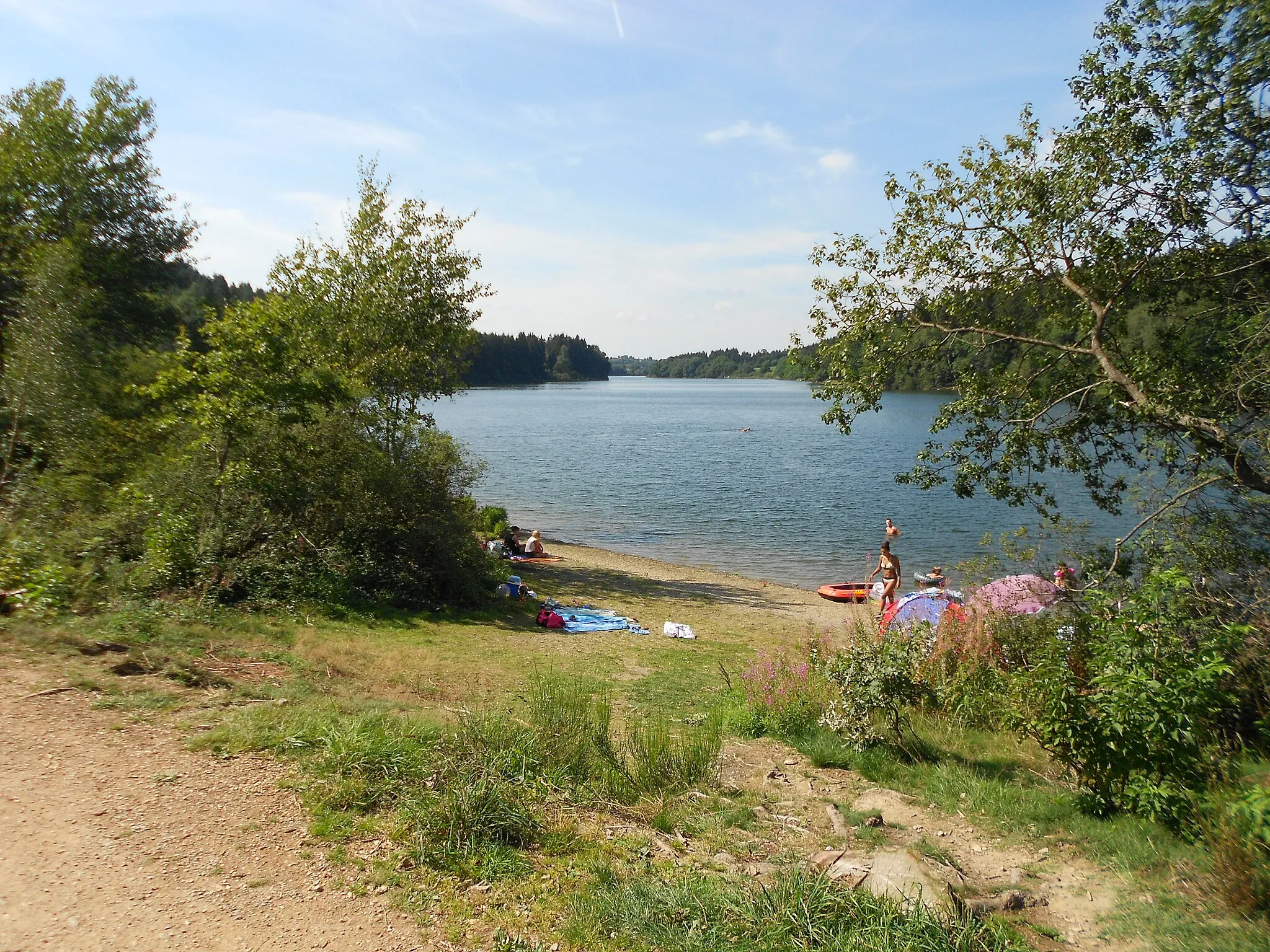
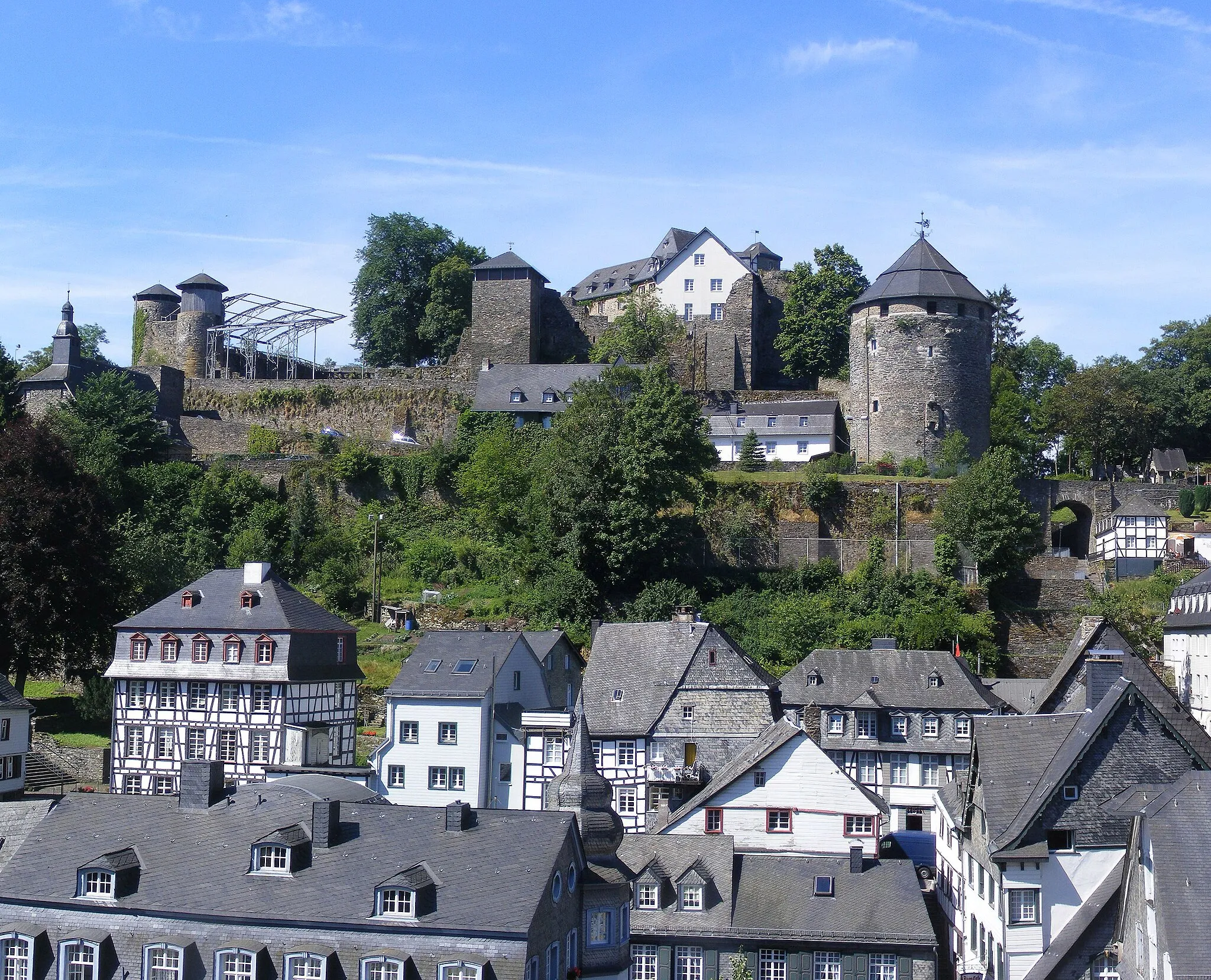
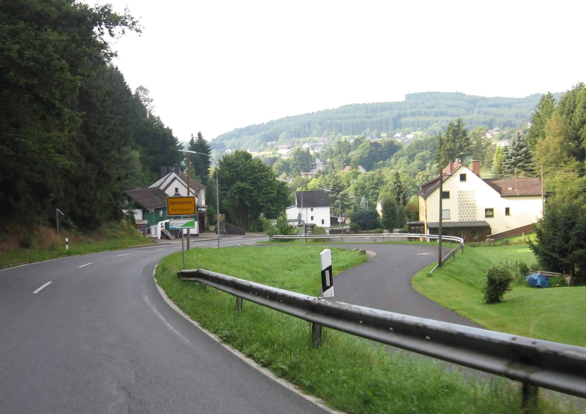
NidrumVillageStop at Nidrum, a picturesque village with stunning views of the surrounding nature.
17 km
17 km
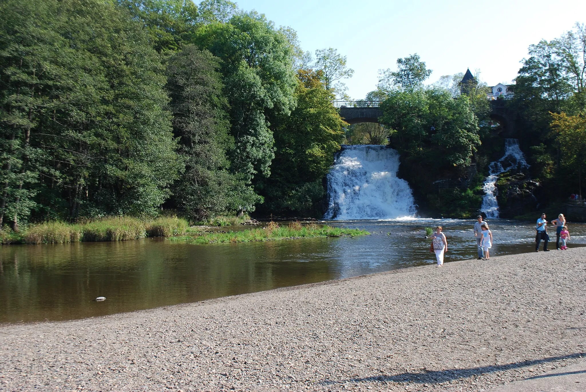
Belvédère "La Tournante Roche"ViewpointDon't miss the Belvédère "La Tournante Roche", a lookout point offering panoramic views of the area.
36 km
36 km
Col du Rosier566 mMountain PassClimb the Col du Rosier, a legendary climb in the region.
43 km
43 km
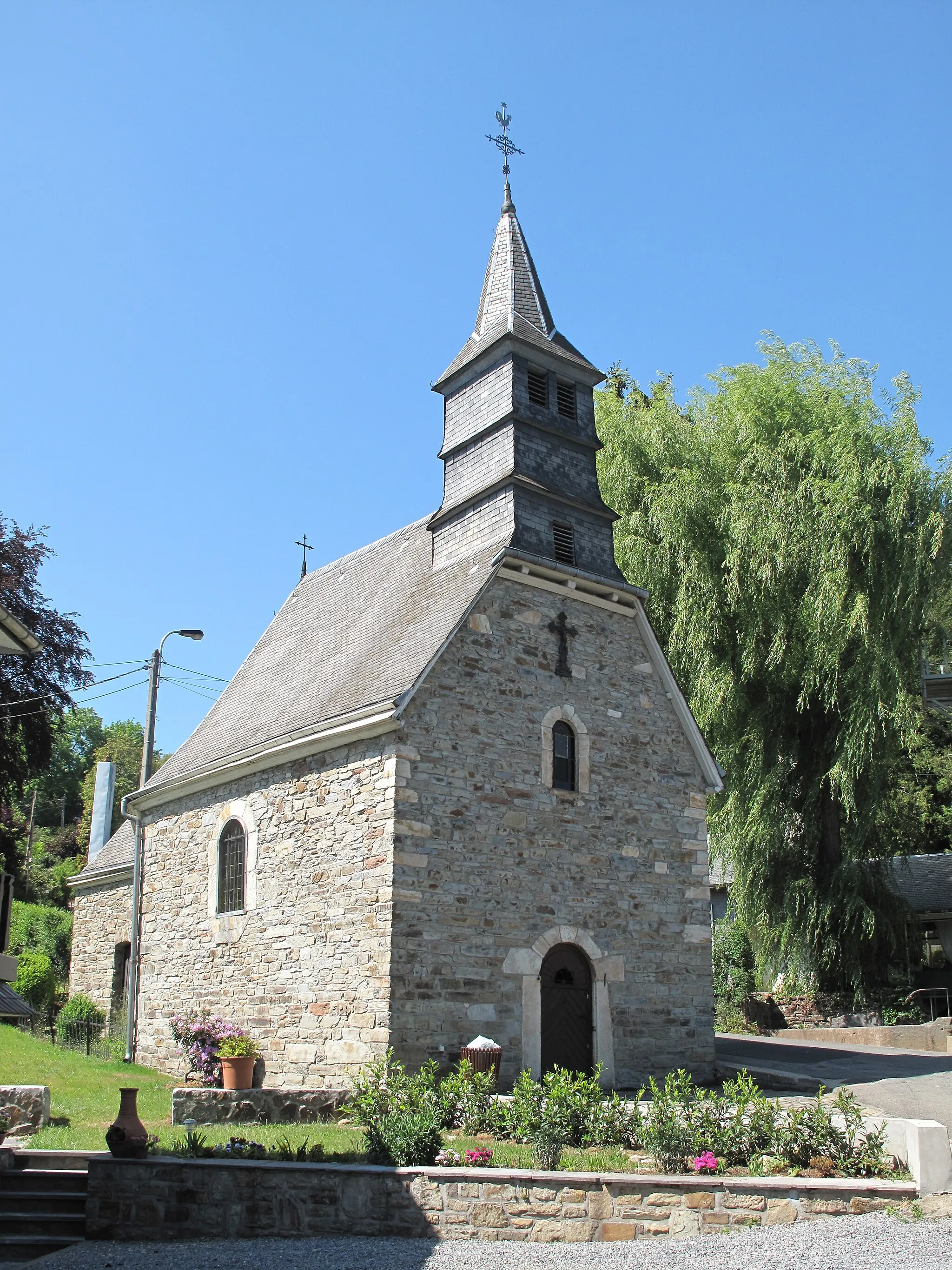
WinamplancheVillageVisit Winamplanche and marvel at its natural beauty.
55 km
55 km
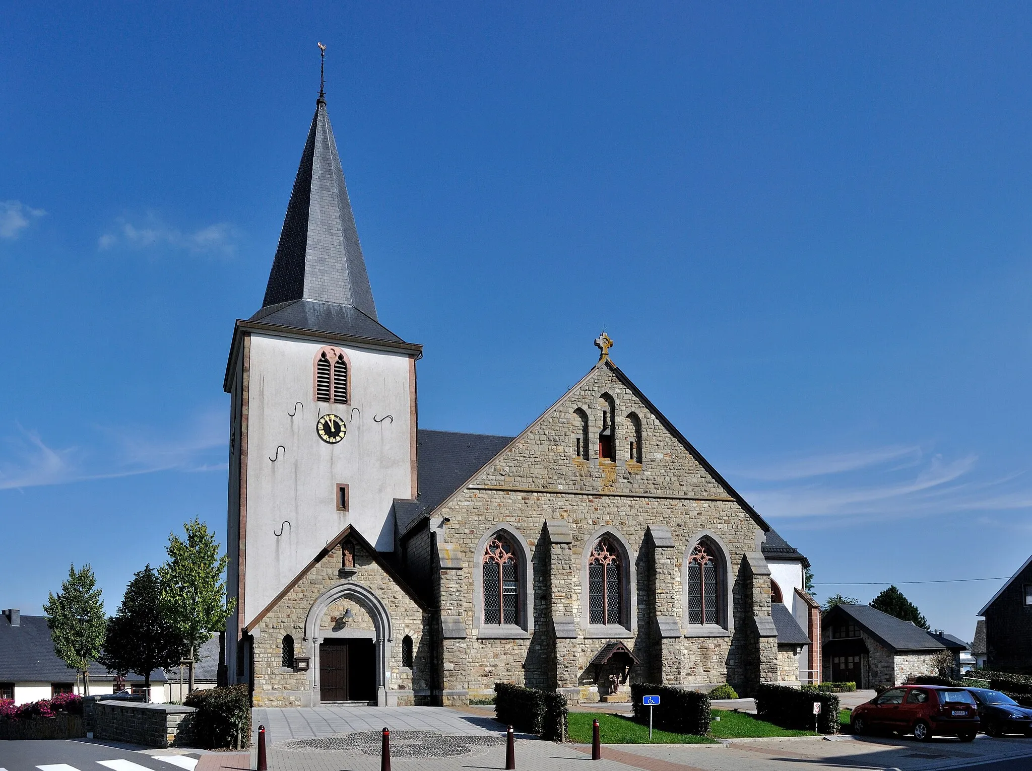
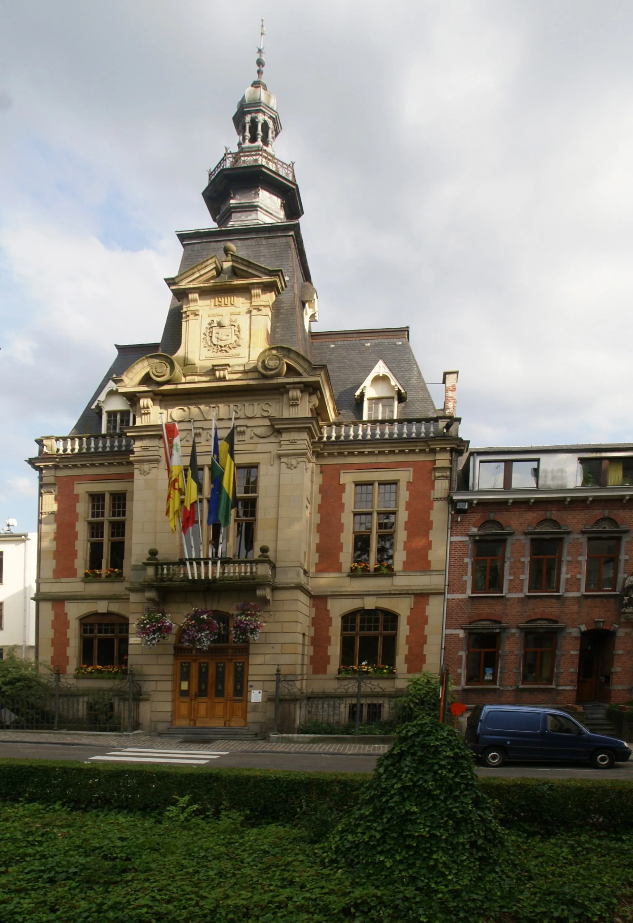
PolleurVillageExplore Polleur and its charming streets.
64 km
64 km
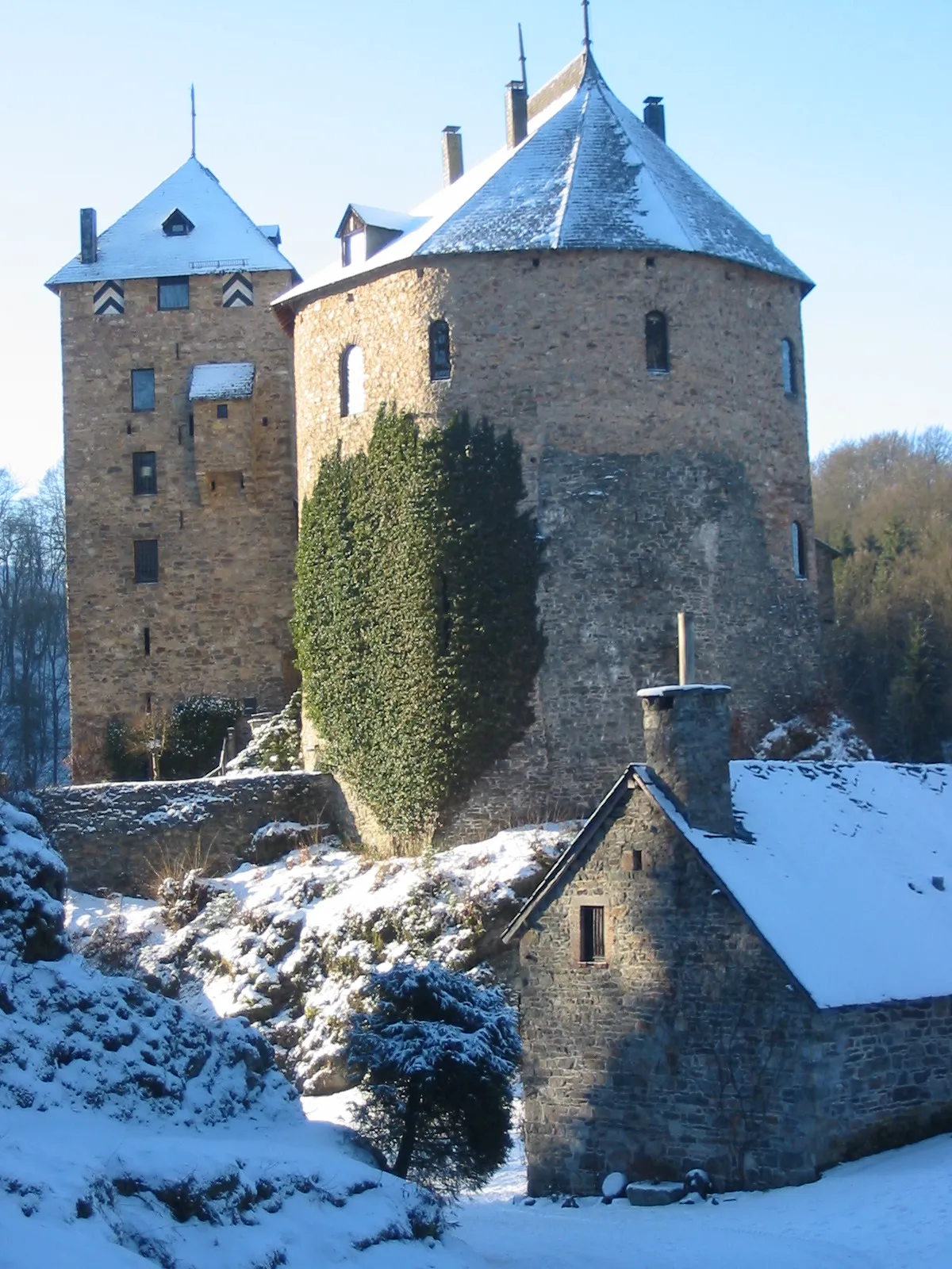
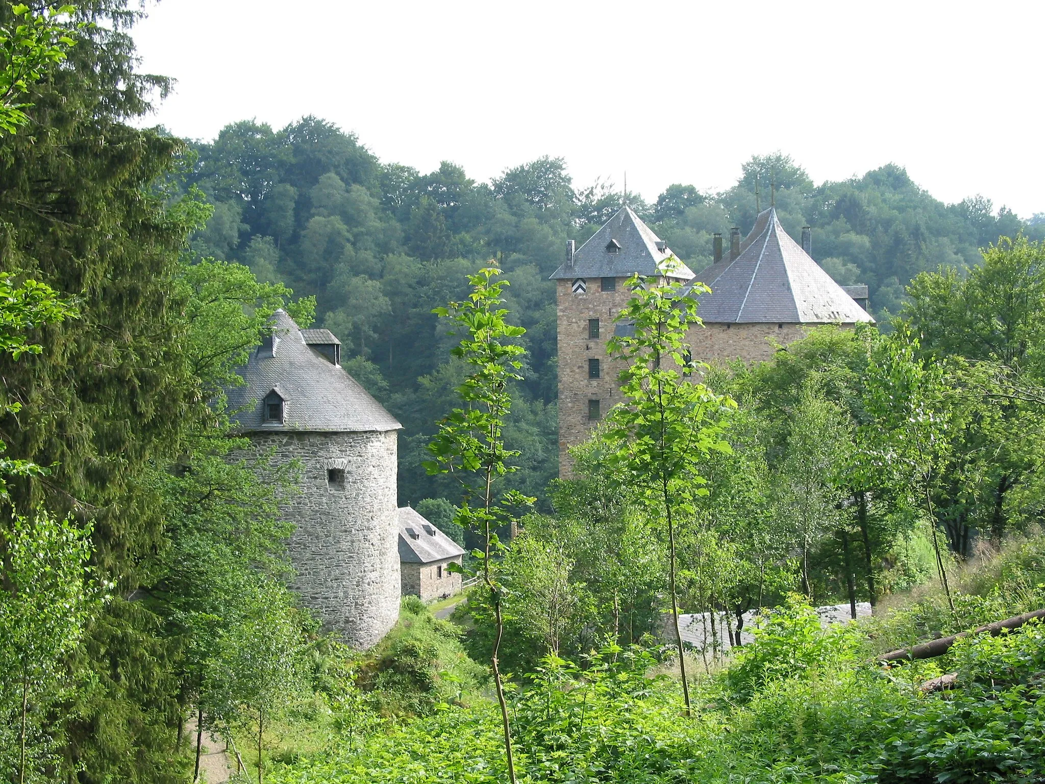
JalhayVillageDiscover Jalhay, a quaint town with historical buildings.
76 km
76 km
Signal de Botrange694 mViewpointReach the Signal de Botrange, the highest point in Belgium, and enjoy breathtaking views from the top.
87 km
87 km
Finish: Elsenborn Village centerElsenborn: Cycling paradise in the heart of Belgium.
Cycling routes from Elsenborn:
Elsenborn Road Cycling Adventure Elsenborn Eifel Adventure Elsenborn Road Cycling Route Elsenborn to Ovifat Cycling Route Elsenborn and the Eifel region Elsenborn Gravel Adventure Elsenborn Road Cycling Expedition Scenic Gravel Ride from Elsenborn Elsenborn Gravel Cycling Route Elsenborn Gravel Cycling Adventure
Cycling routes nearby: