Gemmenich to Vaals Gravel Route
A gravel cycling route starting from Gemmenich
Experience the thrill of gravel cycling and discover the natural beauty of the region.
Map
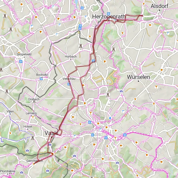
This gravel cycling route takes you on an adventure through the diverse landscapes of Liège province. With a total ascent of 510 meters and a distance of 46 kilometers, it is suitable for intermediate gravel riders. Highlights along the route include Vaals, Bergehalde Wilsberg, and Dreiländereck.
gravel
46 km
510 m
Chill
Route profile
Highlights on the route
0 km
0 km
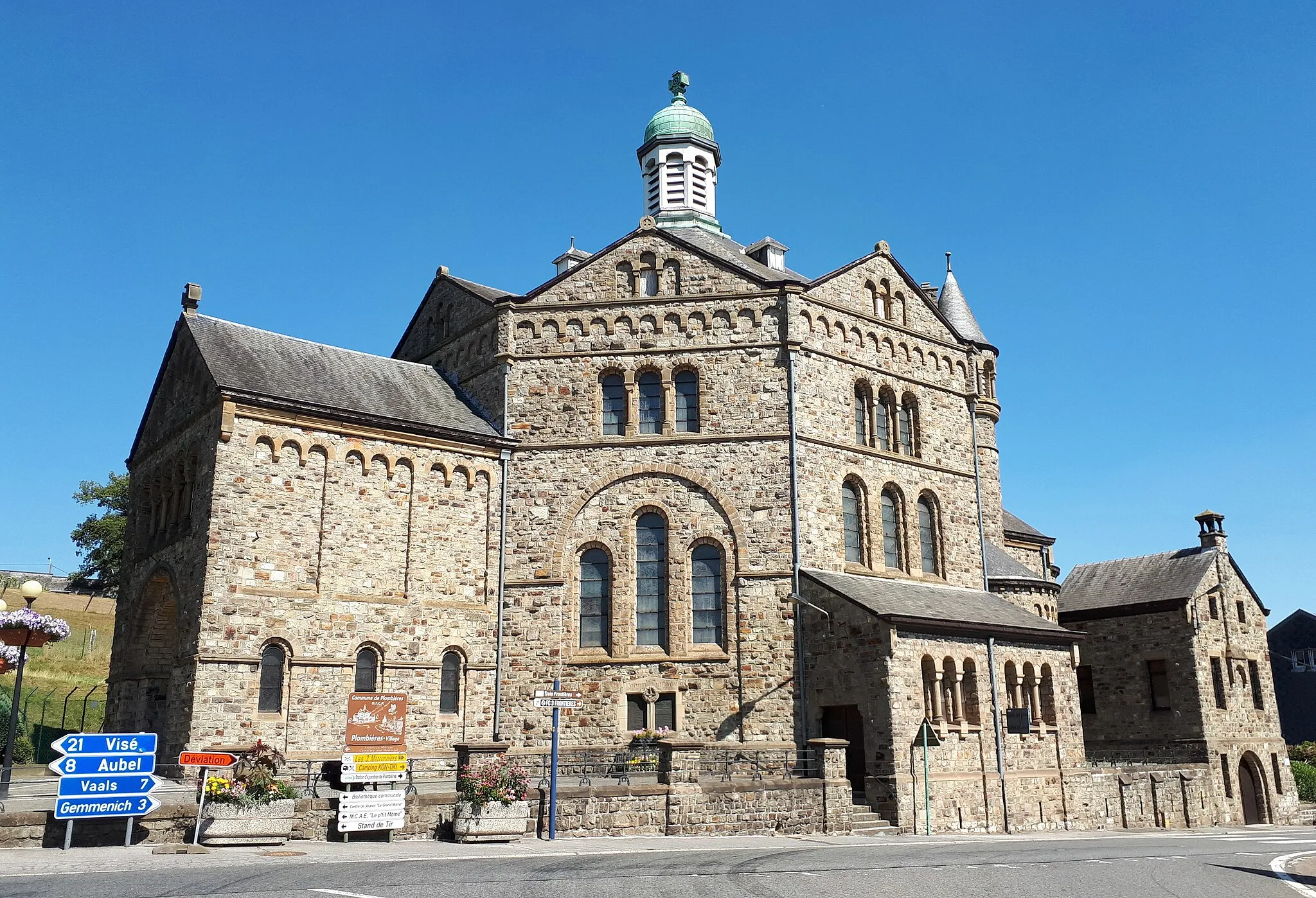
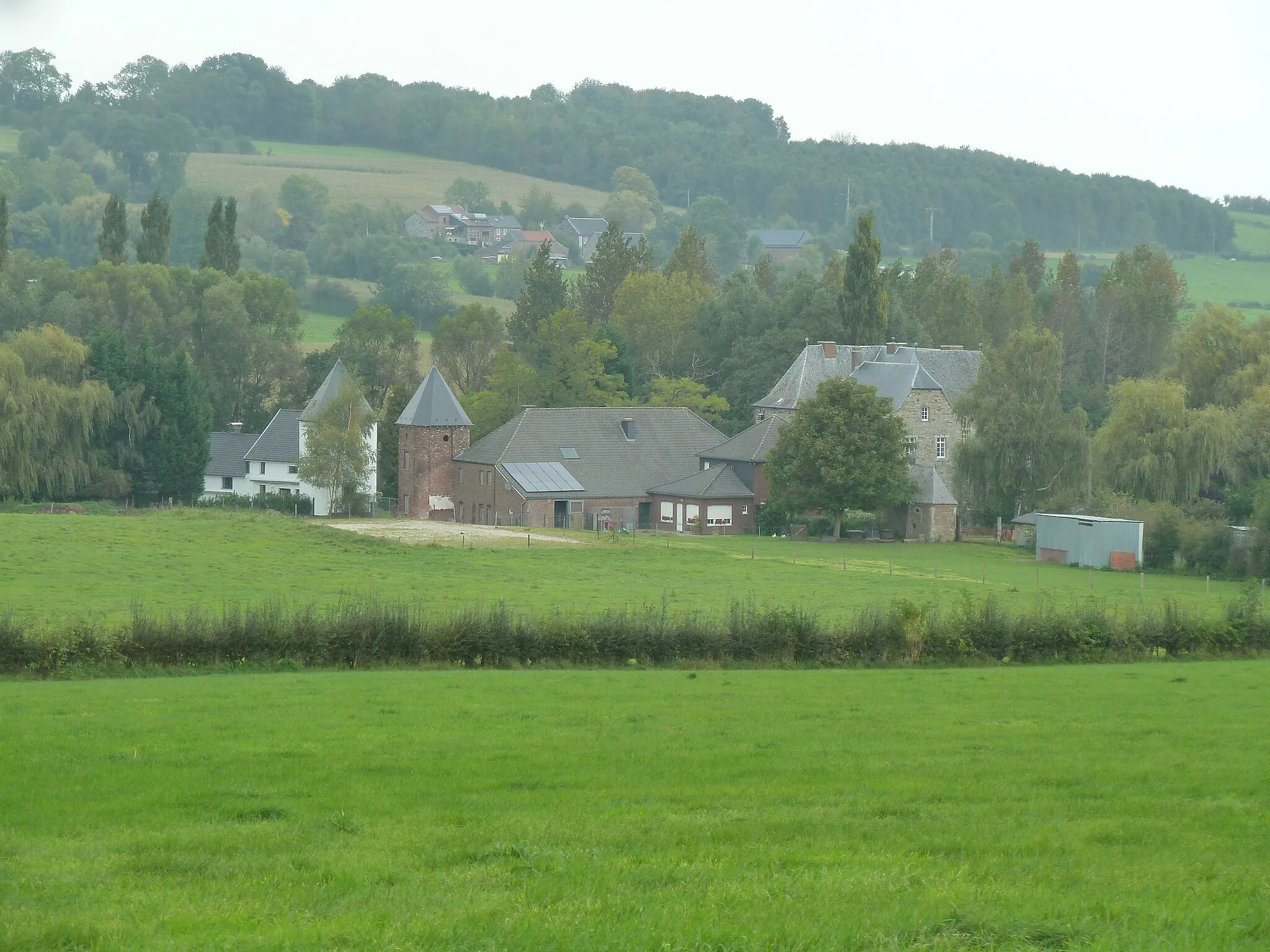
Start: Gemmenich Village centerGemmenich: Explore Prov. Liège by Bike
Gemmenich is a locality in Prov. Liège, Belgium. For cyclists, Gemmenich offers a range of cycling routes suitable for both road and gravel cyclists. The region is known for its quiet country roads and picturesque landscapes, making it a popular destination for cyclists. Road cyclists can explore the rolling hills and charming villages of Provence Liège, while gravel cyclists have access to off-road trails in the nearby Herve Plateau. Gemmenich is also located near the famous La Redoute climb, one of the most iconic climbs in the Ardennes region. Overall, Gemmenich is a must-visit destination for cycling enthusiasts, offering beautiful routes and challenging climbs.3 km
3 km
VaalsTownVaals is a picturesque town located at the Three-Country Point where Belgium, Germany, and the Netherlands meet.
12 km
12 km
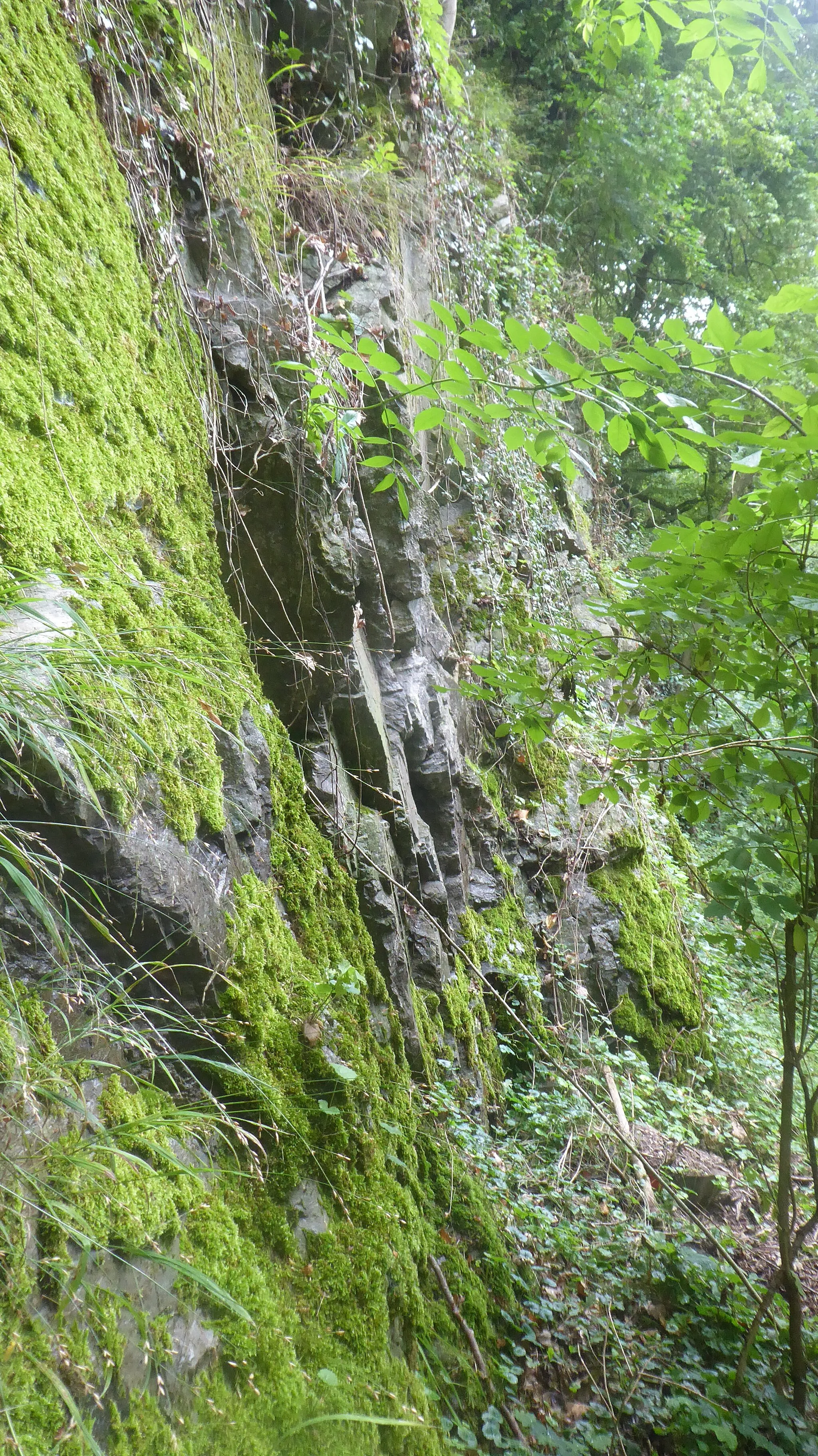
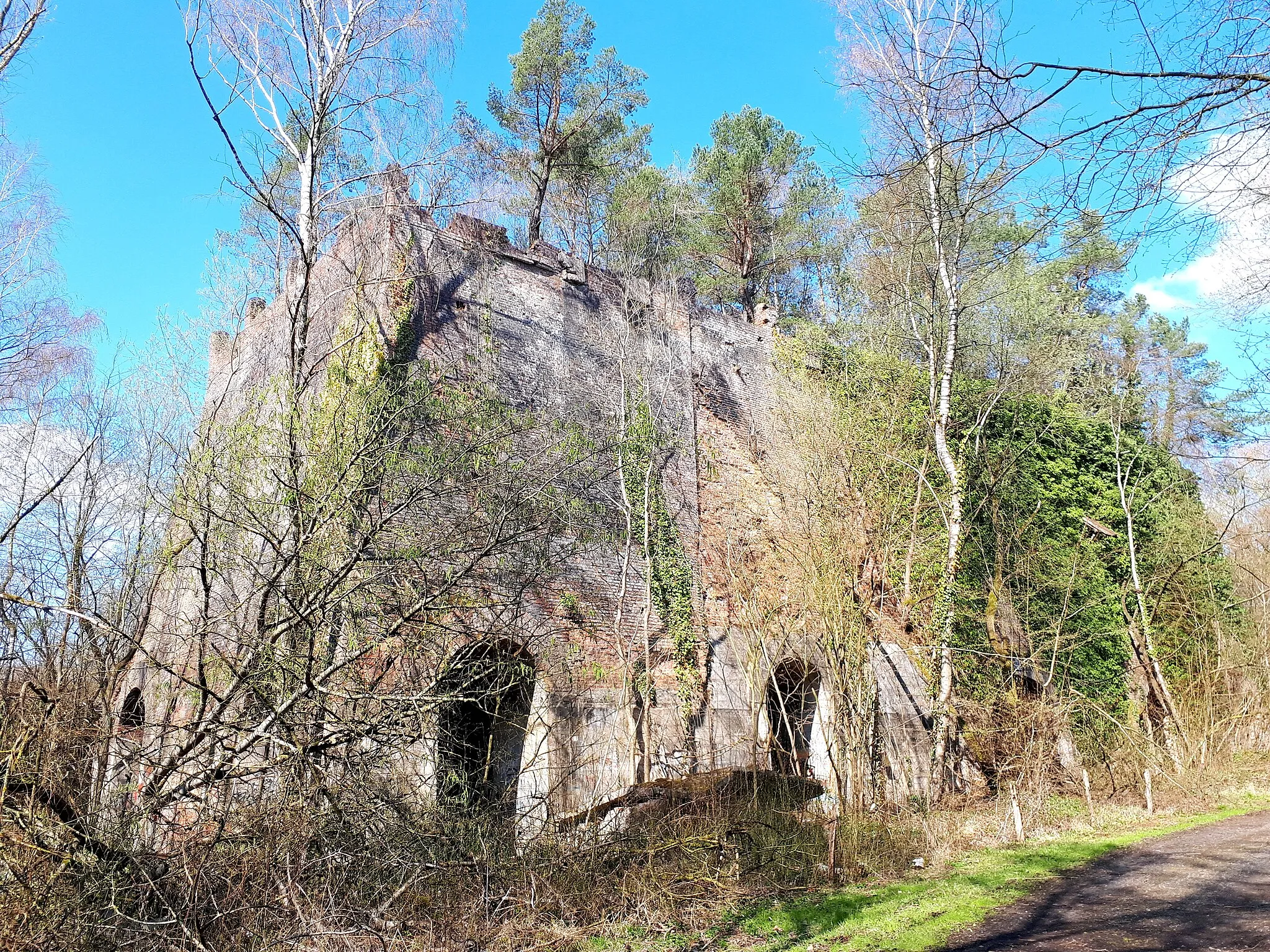
Bergehalde Wilsberg213 mPeakBergehalde Wilsberg is a reclaimed coal mining site that now offers panoramic views of the surrounding landscape.
21 km
21 km
Bergehalde Anna I246 mPeakBergehalde Anna I is a former coal mine site that has been transformed into a recreational area.
25 km
25 km
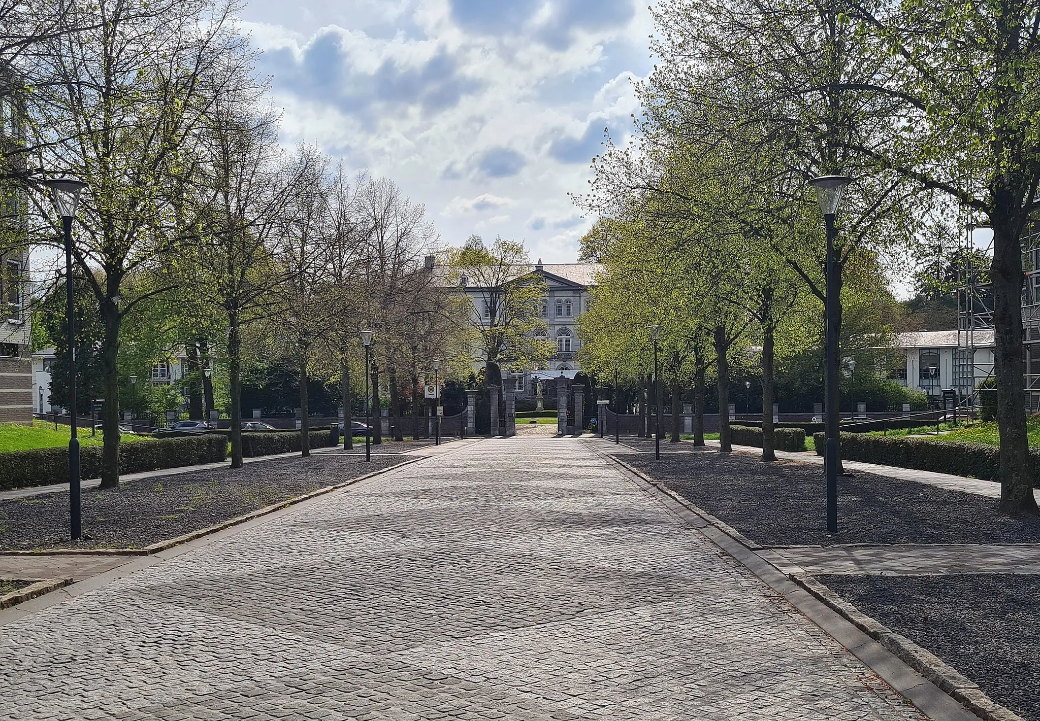
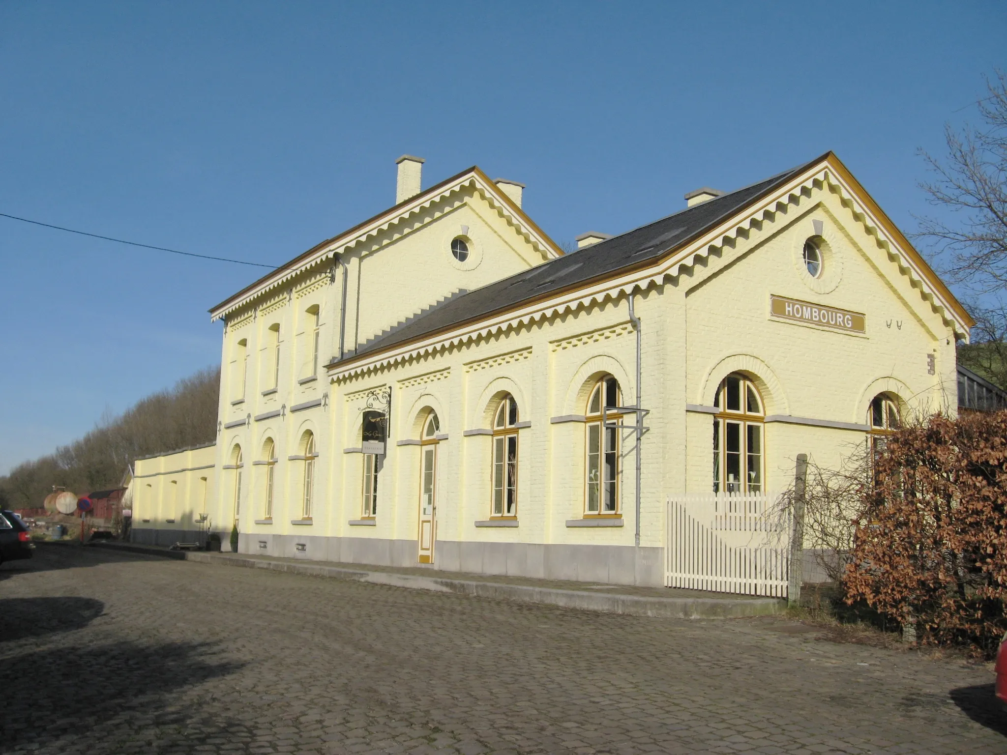
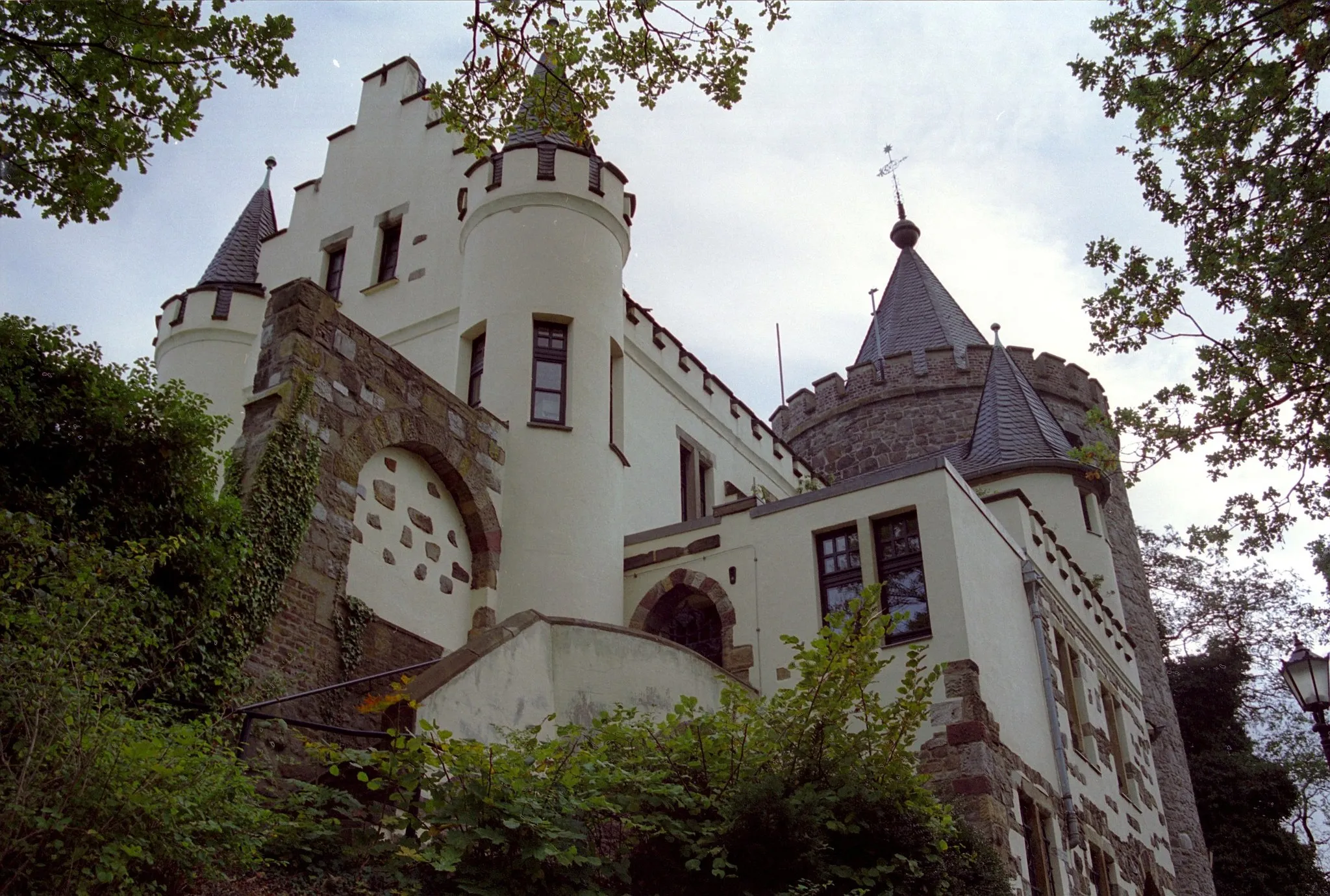
HerzogenrathTownHerzogenrath is a charming town known for its historic buildings and cultural attractions.
44 km
44 km
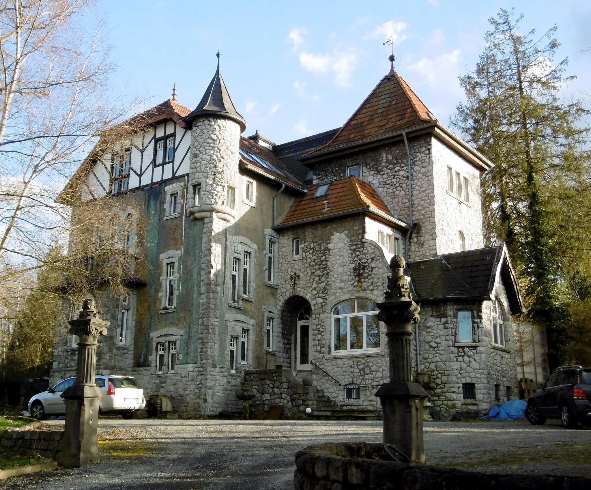
DreiländereckAttractionDreiländereck is the point where Belgium, Germany, and the Netherlands meet, offering a unique geographical experience.
44 km
44 km
Vaalserberg323 mPeakVaalserberg is the highest point in the Netherlands, offering breathtaking views of the surrounding countryside.
46 km
46 km
Finish: Gemmenich Village centerGemmenich: Explore Prov. Liège by Bike
Cycling routes nearby: