The Ans Route
A road cycling route starting from Loncin
A demanding road cycling route with stunning scenery
Map
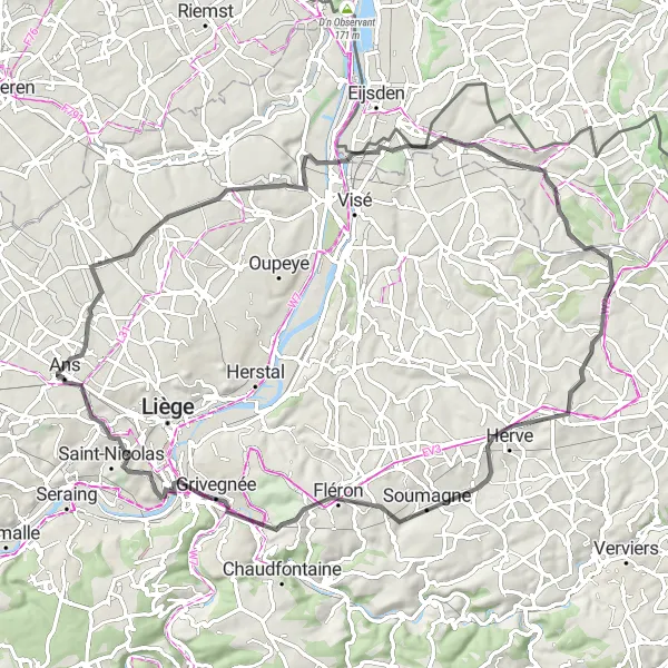
The Ans Route is a challenging road cycling route that starts near Loncin. With a total ascent of 747 meters and a distance of 76 kilometers, this route offers a thrilling experience for well-trained amateur cyclists. The route takes you through picturesque landscapes and offers breathtaking views along the way. Prepare to be amazed by the beauty of Ans and its surrounding areas.
road
76 km
747 m
Tough
Route profile
Highlights on the route
0 km
0 km
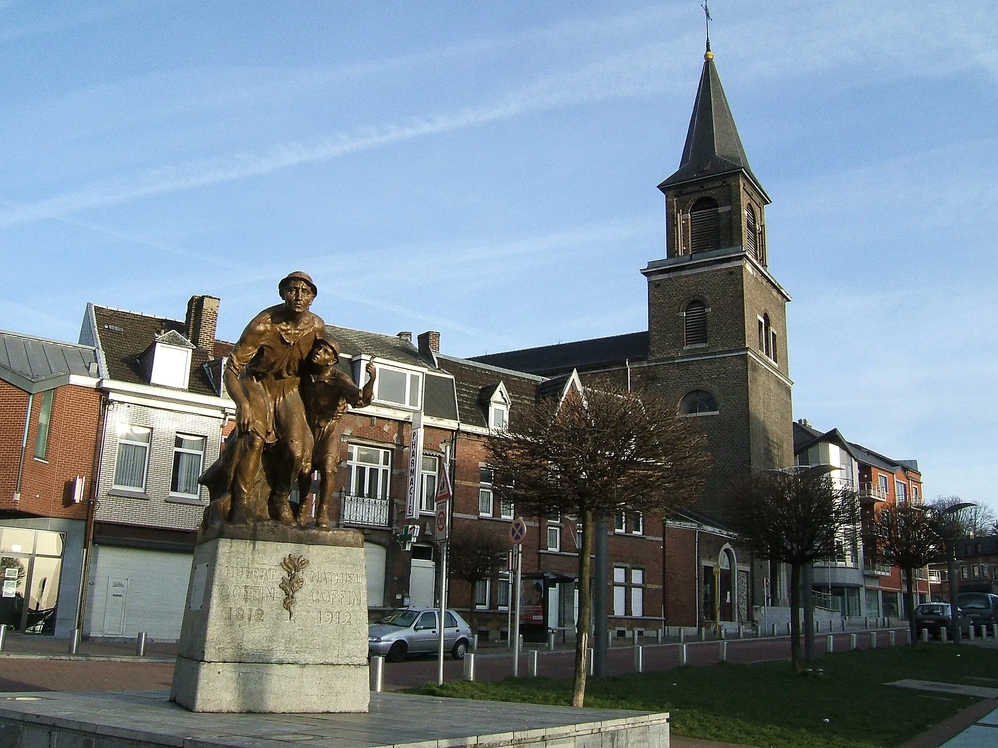
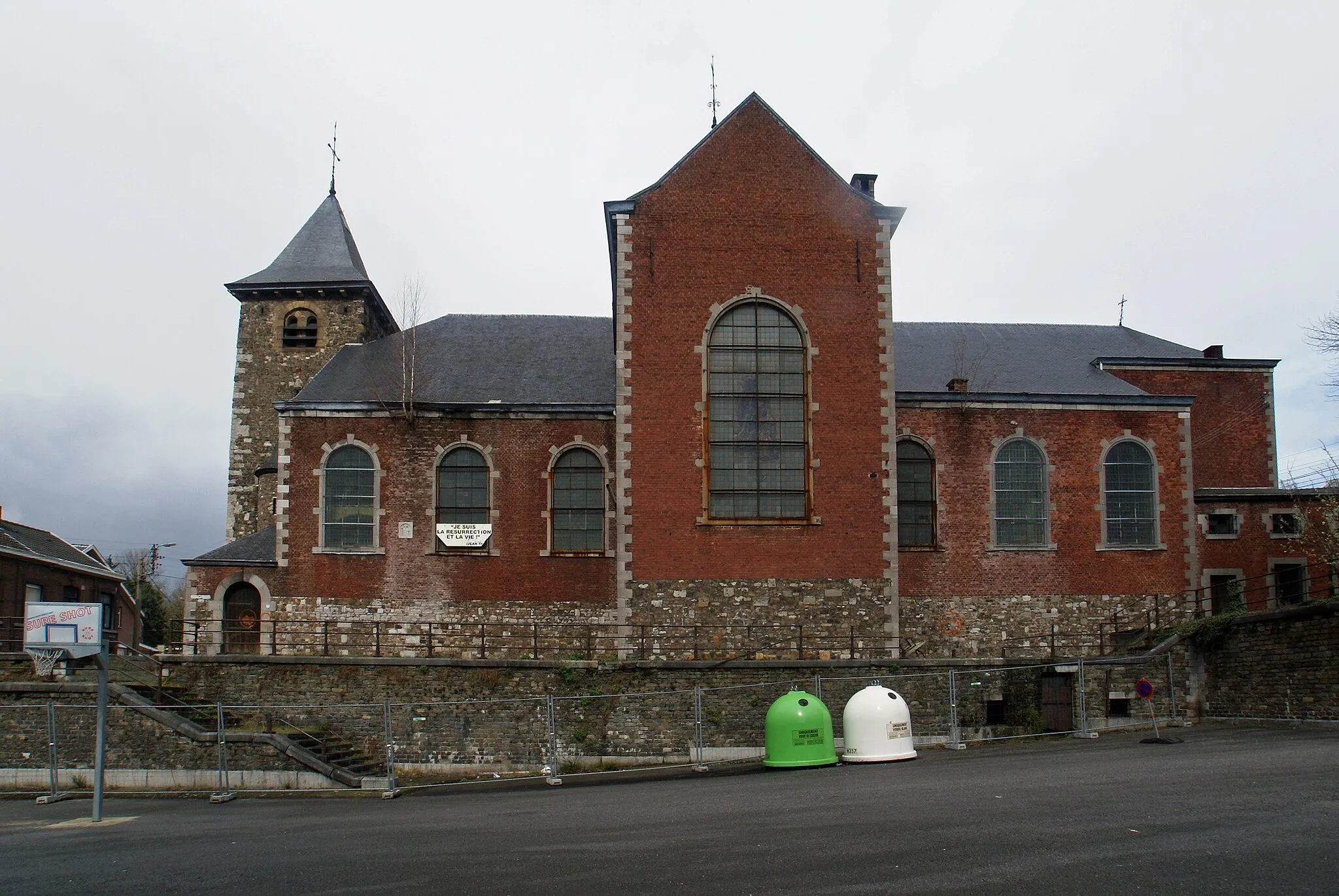
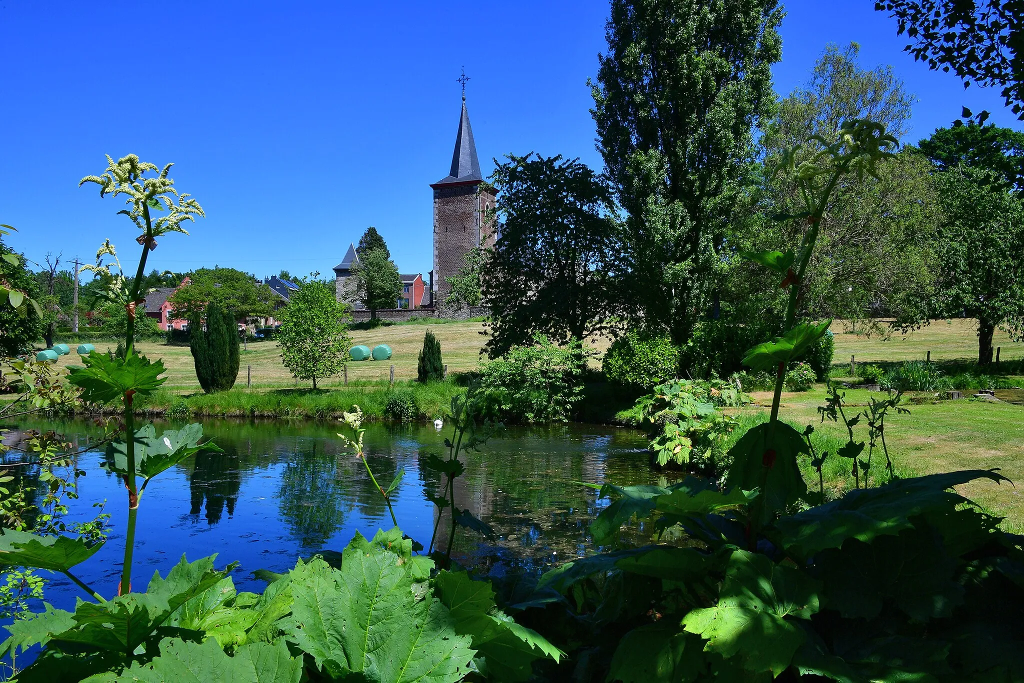
Start: Loncin Village centerLoncin: Varied terrains and historical attractions in Loncin
Loncin is a locality situated in the Province of Liège, Belgium. For road and gravel cyclists, this area offers diverse terrains, including flat stretches and hilly landscapes with scenic views. Loncin is famous for its iconic military cemetery, attracting visitors interested in history and cycling alike. Nearby, you can also find the Côte de Bois-de-Villers climb, which is often featured in local cycling events. With its varied terrains, historical attractions, and cycling-friendly routes, Loncin is a recommended destination for cyclists seeking a mix of culture and scenic rides.0 km
0 km
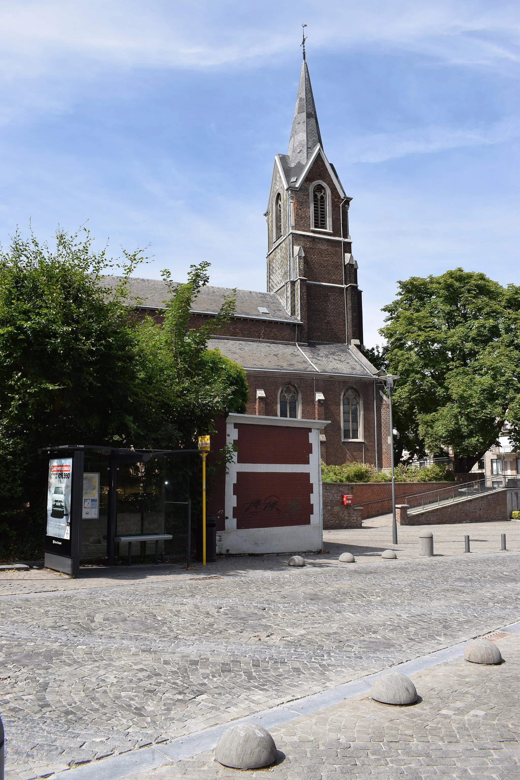
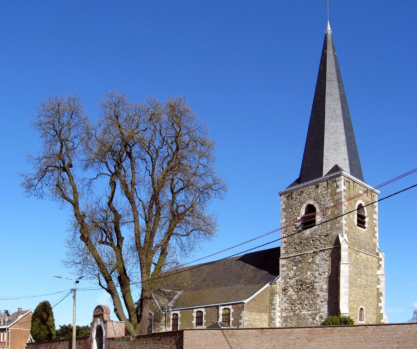
AnsTownExplore the charming town of Ans, known for its rich history and architectural wonders.
30 km
30 km
Kattenrothberg209 mPeakExperience the thrill of conquering the Kattenrothberg, a challenging climb that rewards you with panoramic views.
30 km
30 km
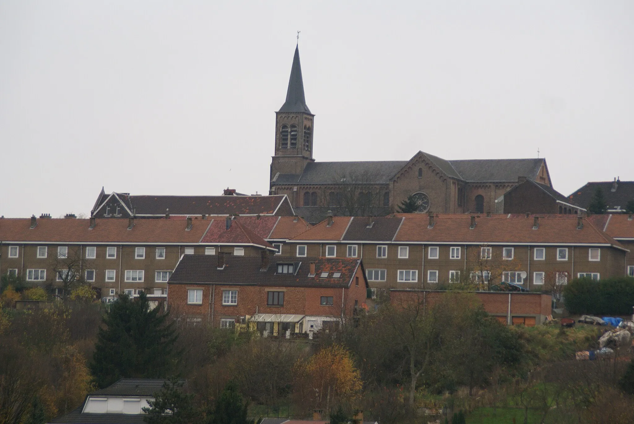
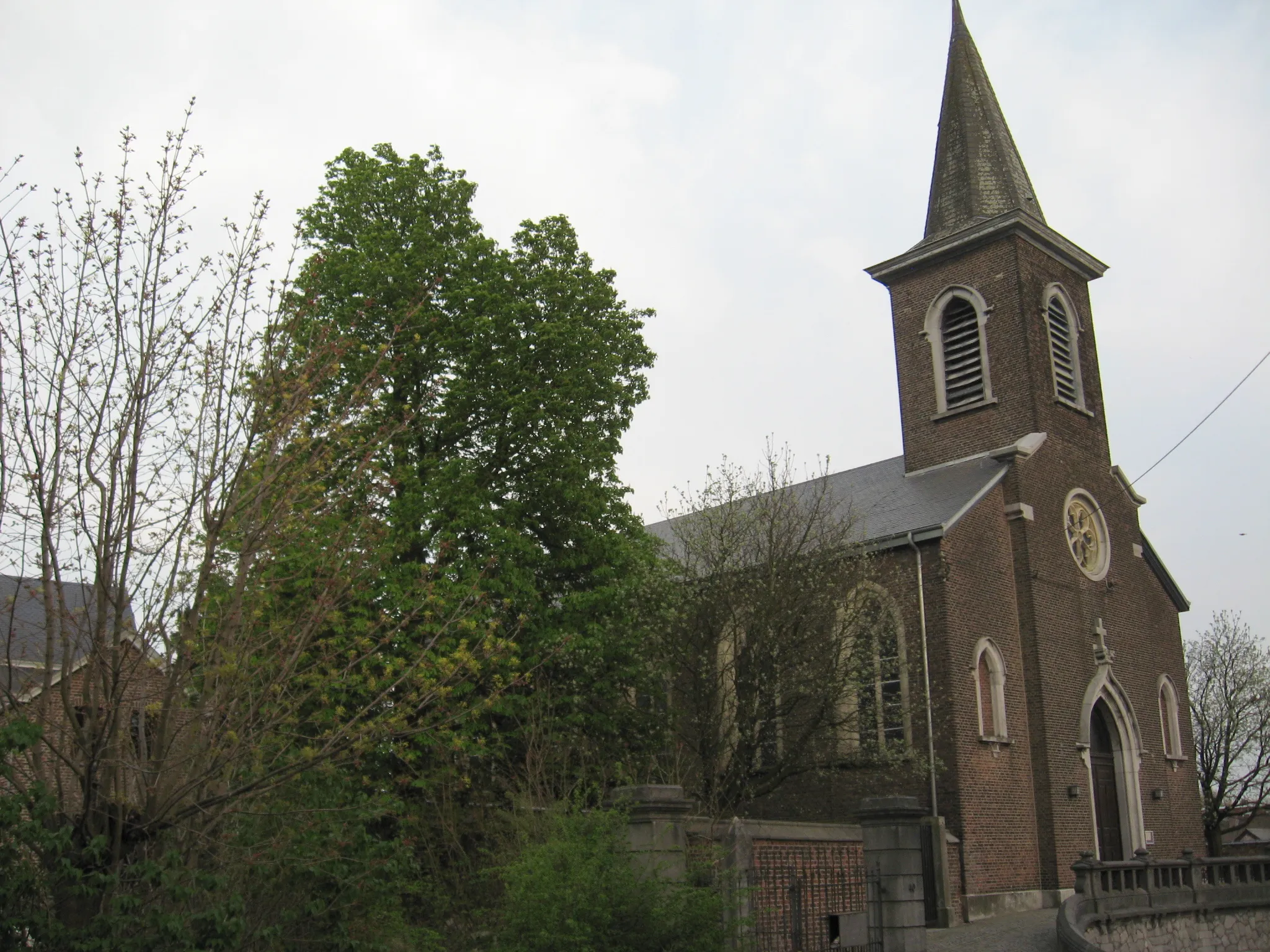
Sint-Martens-VoerenVillageVisit Sint-Martens-Voeren, a beautiful village known for its idyllic setting and traditional charm.
44 km
44 km
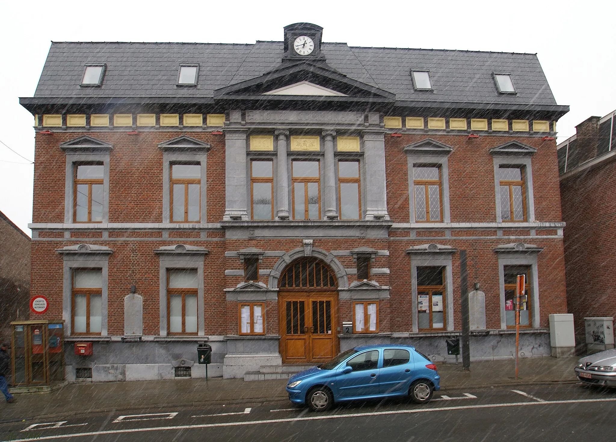
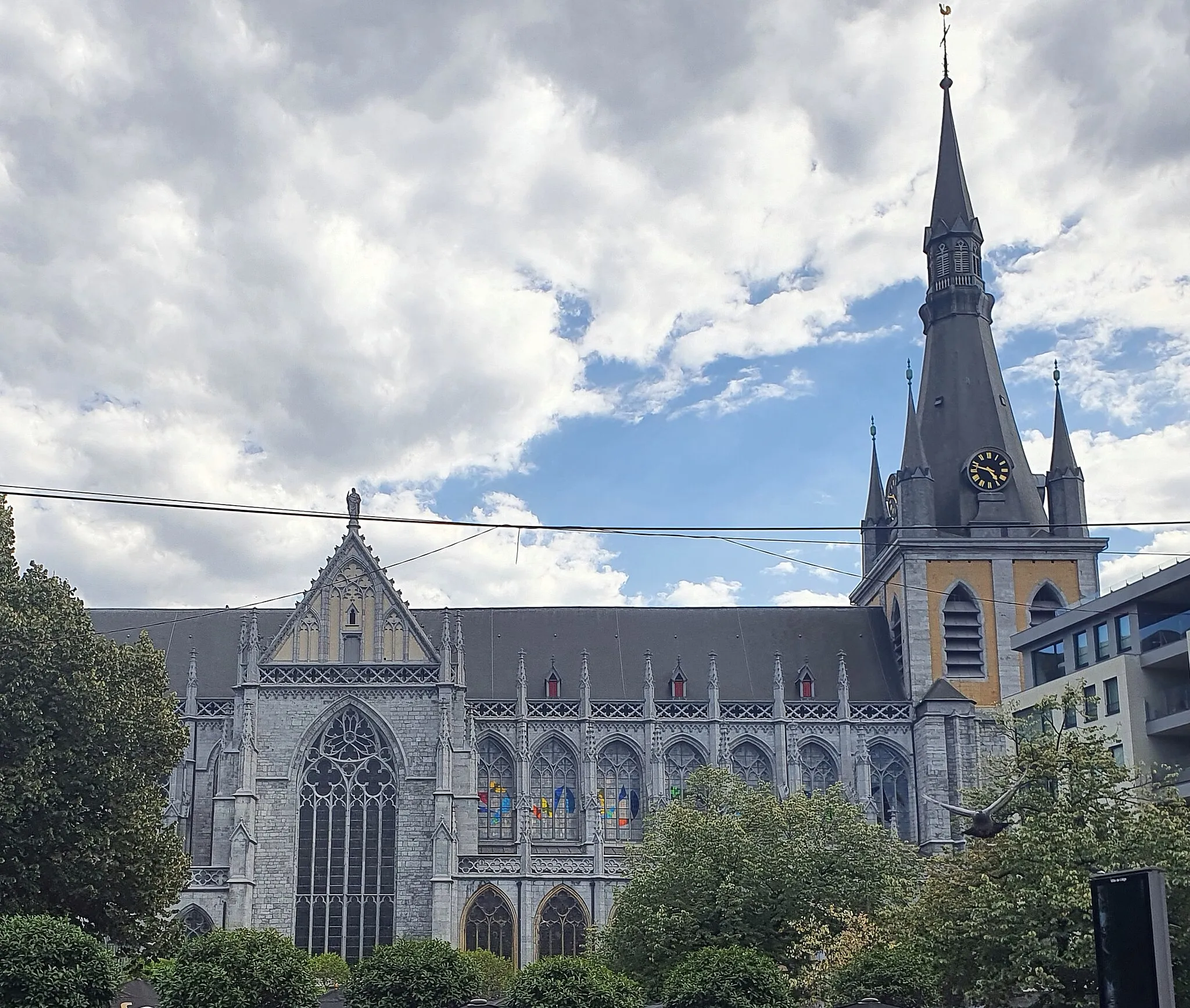
BatticeVillageDiscover Battice, a small town with a rich brewing heritage and delicious local beers.
52 km
52 km
Terril Bas BoisViewpointMarvel at the winding trails of Terril Bas Bois, a former mining site transformed into a nature reserve.
73 km
73 km
Terril de l'Espérance227 mPeakClimb the Terril de l'Espérance and witness the stark contrast between the industrial past and the regenerating nature.
76 km
76 km
LoncinVillageStart and finish your journey at Loncin, a historic site with a tragic World War I history.
76 km
76 km
Finish: Loncin Village centerLoncin: Varied terrains and historical attractions in Loncin
Cycling routes nearby: