Walk to Sourbrodt Adventure
A road cycling route starting from Robertville
A challenging route from Walk to Sourbrodt
Map
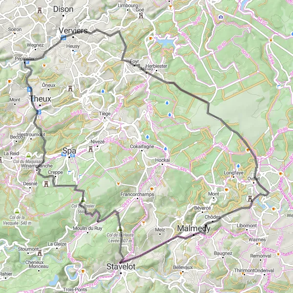
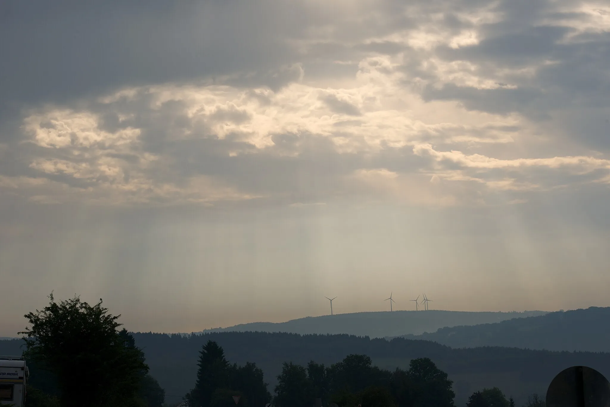
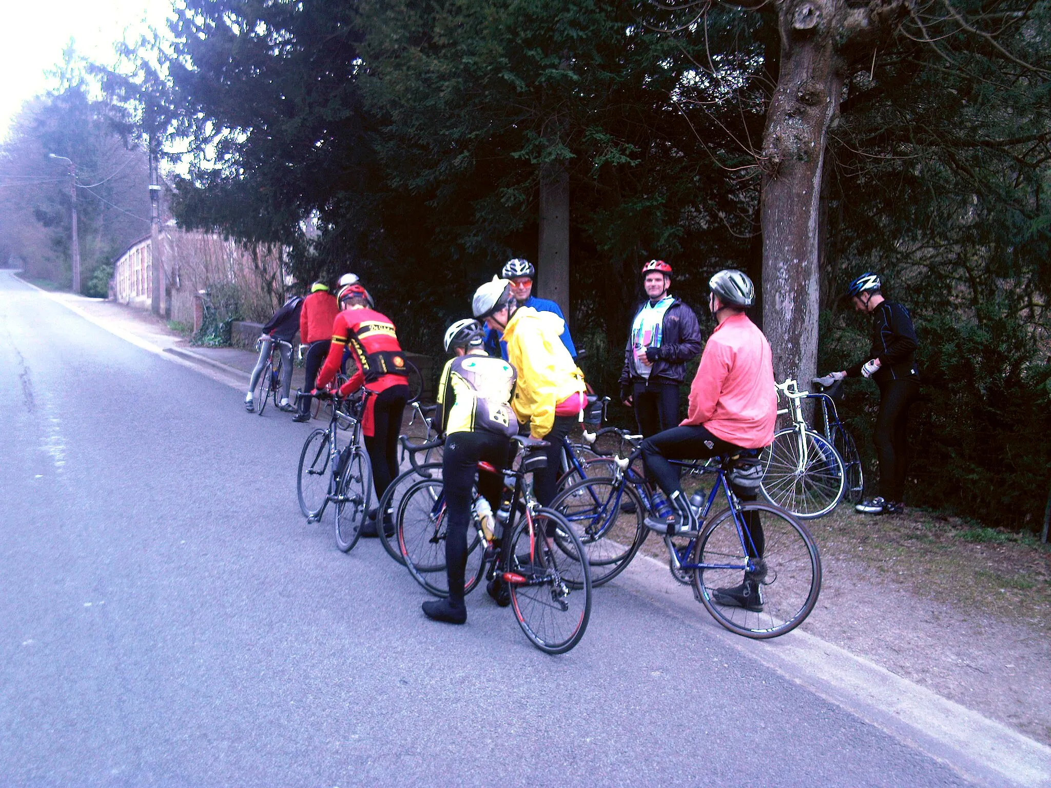
Embark on a challenging road cycling adventure from Walk to Sourbrodt. This 83 km route offers an elevation gain of 1291 meters, making it suitable for experienced and physically fit cyclists. Highlights along the way include a visit to Walk village, the iconic Belvédère "La Tournante Roche", Stavelot, Col du Rosier, Pepinster, Jalhay, Signal de Botrange, and Sourbrodt. Prepare for an adrenaline-fueled journey through stunning landscapes, historic landmarks, and challenging terrains.
road
83 km
1291 m
Savage
Route profile
Highlights on the route
0 km
0 km
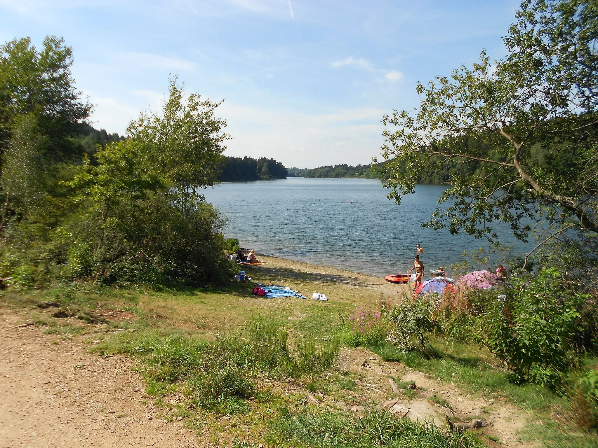
Start: Robertville Village centerRobertville: Tranquil cycling with stunning lake views
Robertville, located in Prov. Liège, Belgium, offers a tranquil cycling experience surrounded by natural beauty. The locality is situated near the picturesque Robertville Lake, providing a serene backdrop for road and gravel cyclists. Cyclists can enjoy the quiet country roads that meander through lush green valleys and quaint villages. One of the highlights for cyclists is the nearby Signal de Botrange, the highest point in Belgium, offering a challenging climb and stunning panoramic views. With its peaceful atmosphere and beautiful surroundings, Robertville is an ideal destination for cyclists looking for a relaxing and scenic ride.2 km
2 km
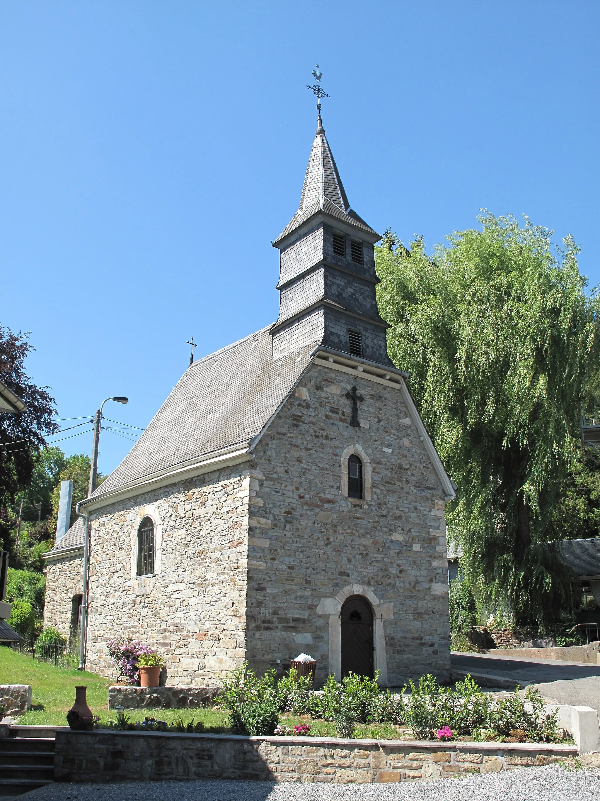
WalkHamletStart your adventure in Walk village and admire its charming architecture and rich history.
8 km
8 km
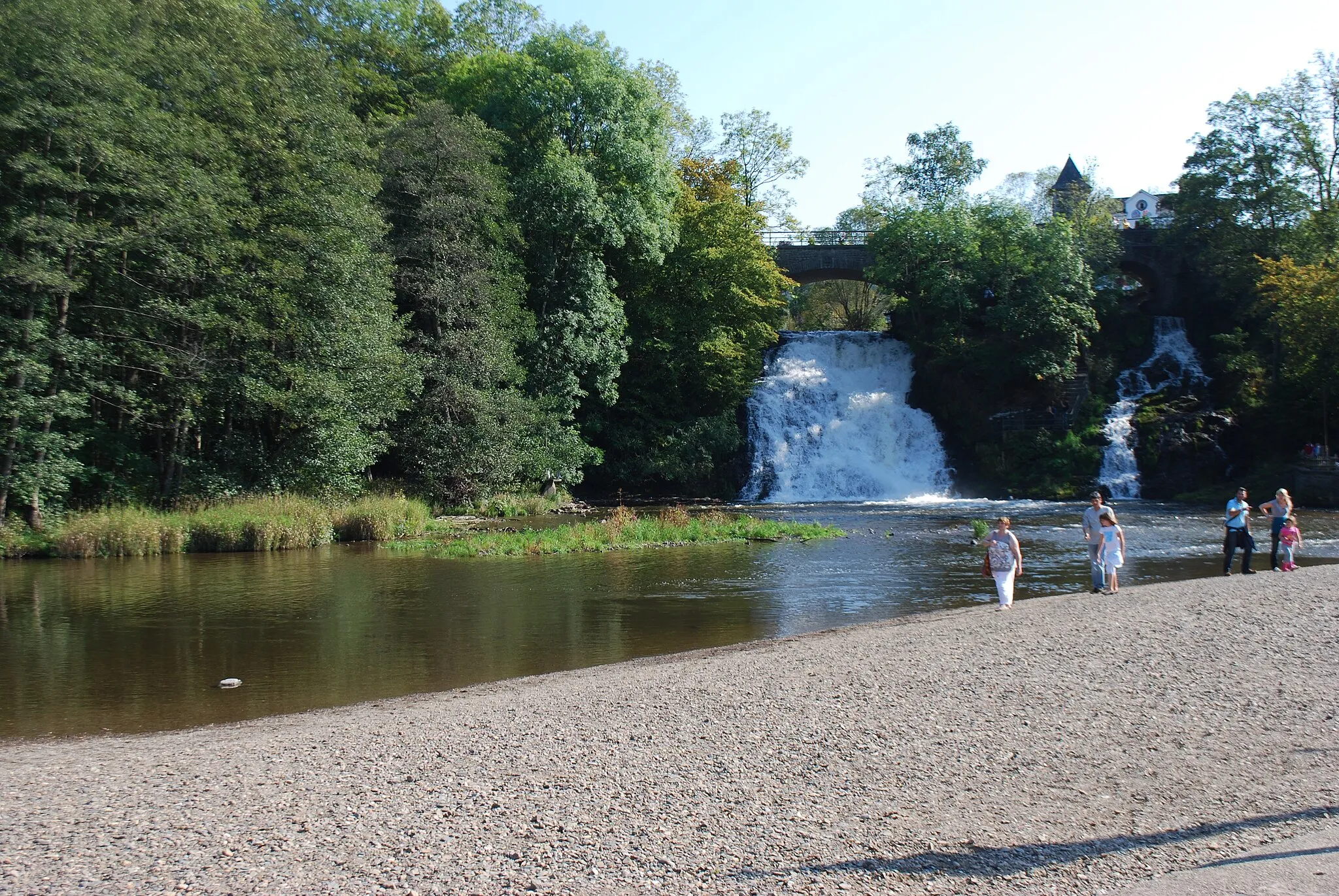
Belvédère "La Tournante Roche"ViewpointVisit the iconic Belvédère "La Tournante Roche" and enjoy breathtaking panoramic views.
17 km
17 km
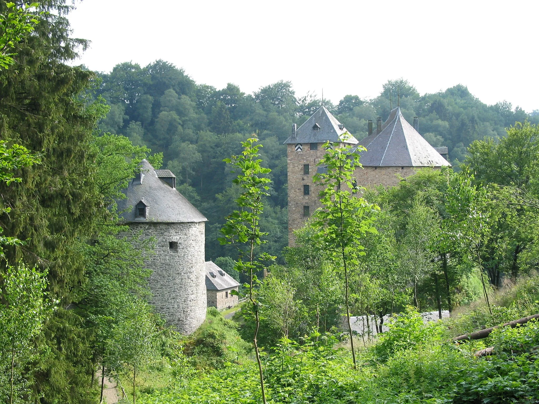
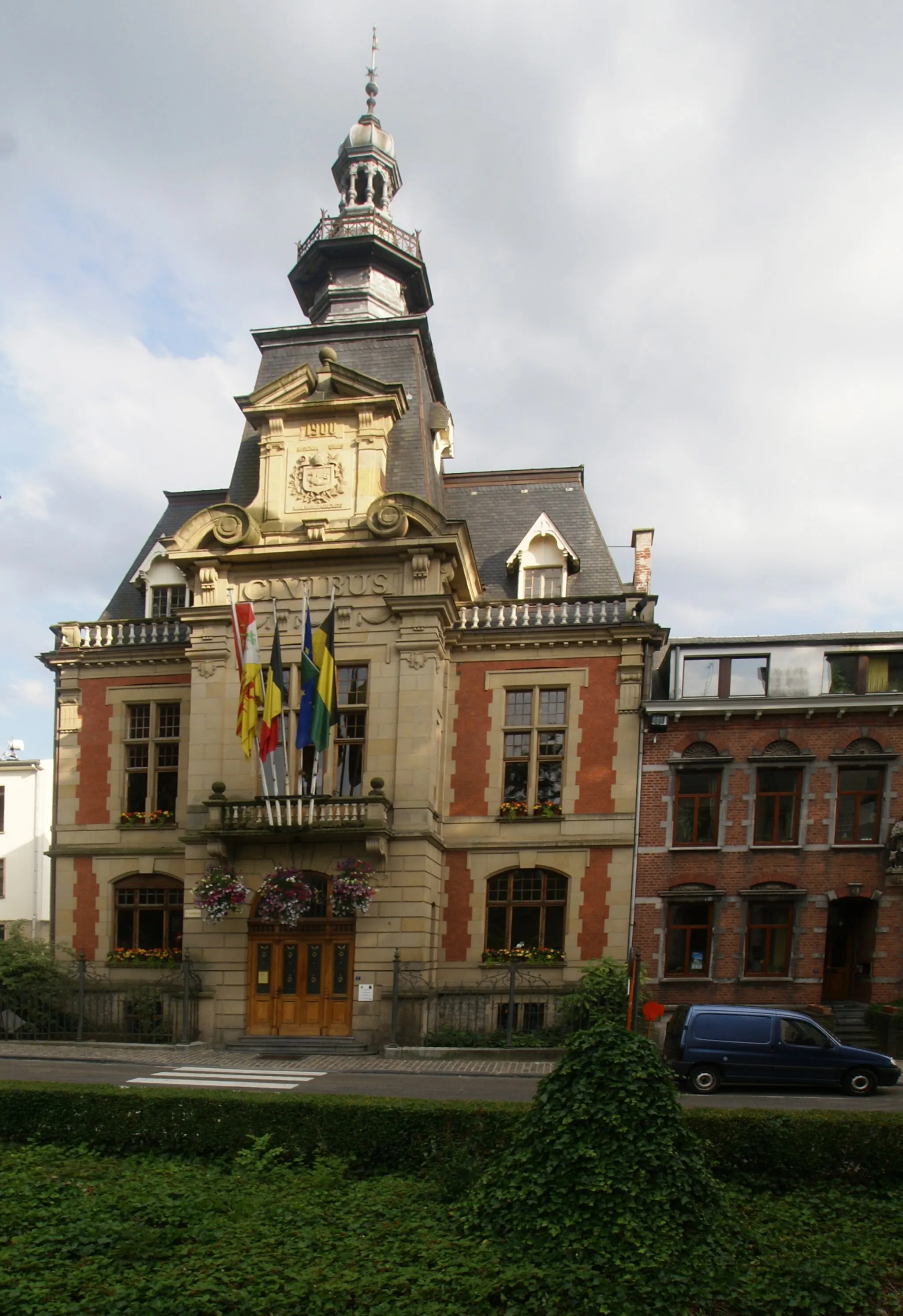
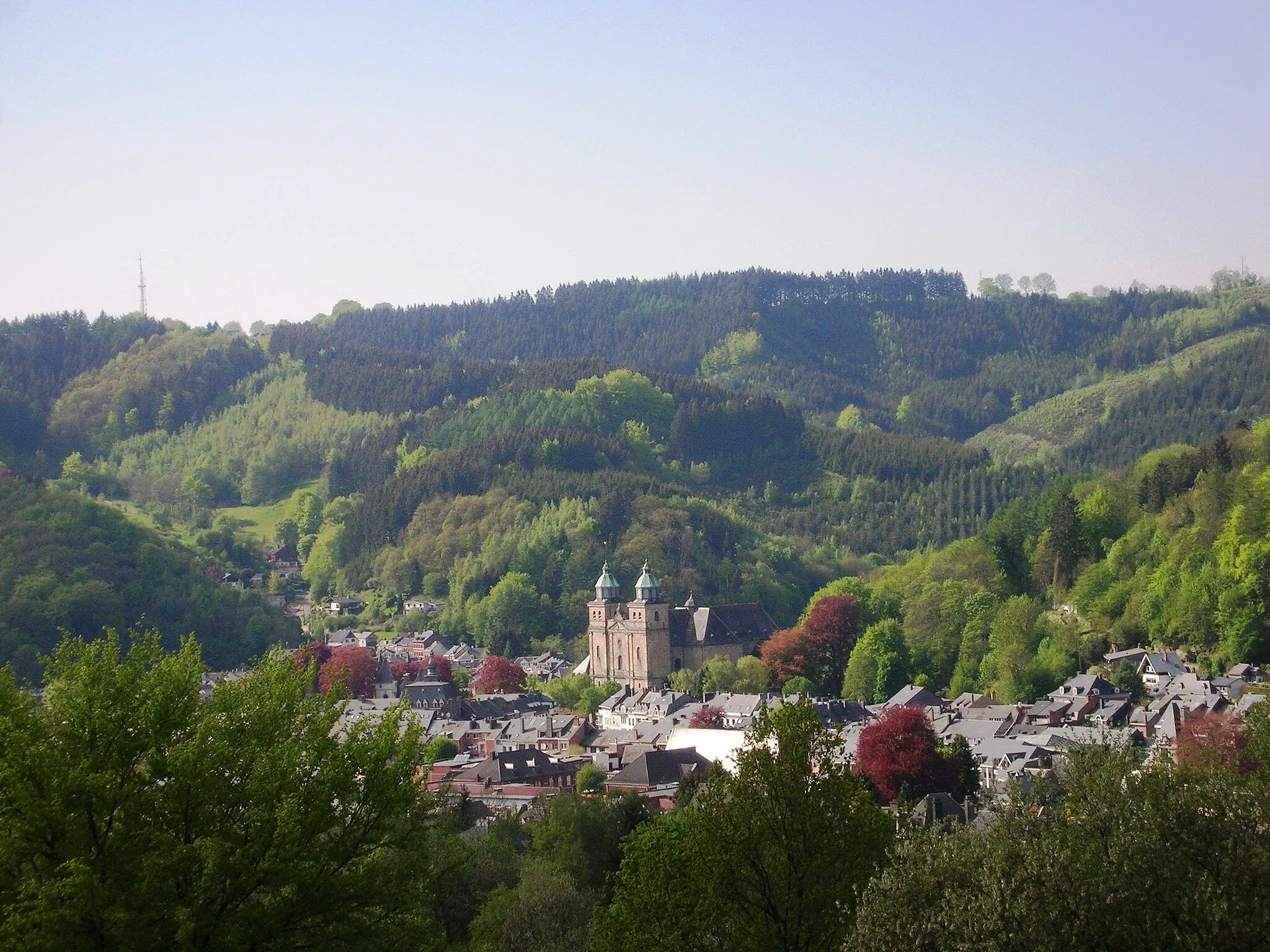
StavelotTownDiscover the historical town of Stavelot, known for its abbey and memorial sites.
29 km
29 km
Col du Rosier566 mMountain PassExperience the challenge of climbing up Col du Rosier, one of Belgium's legendary cycling climbs.
49 km
49 km
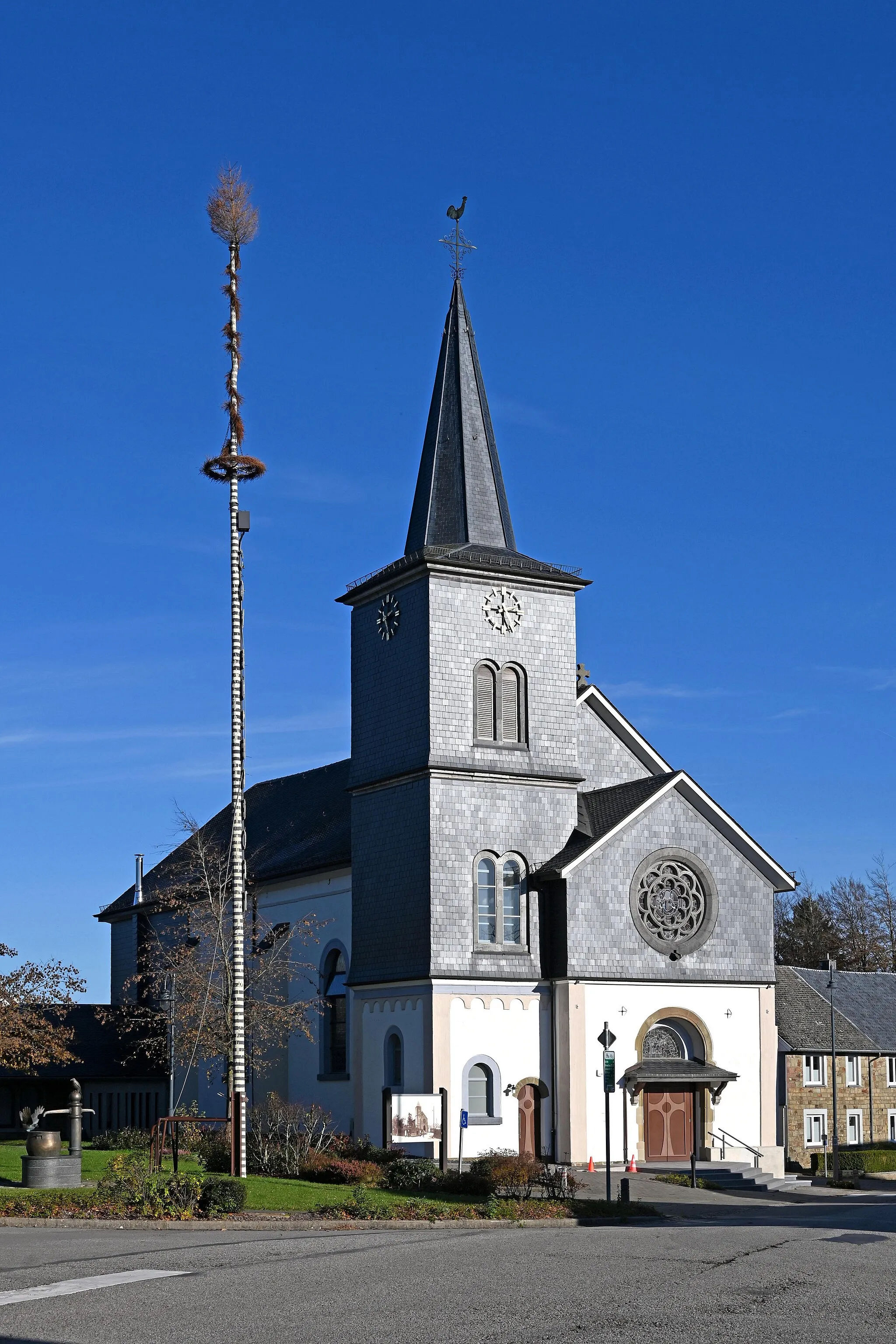
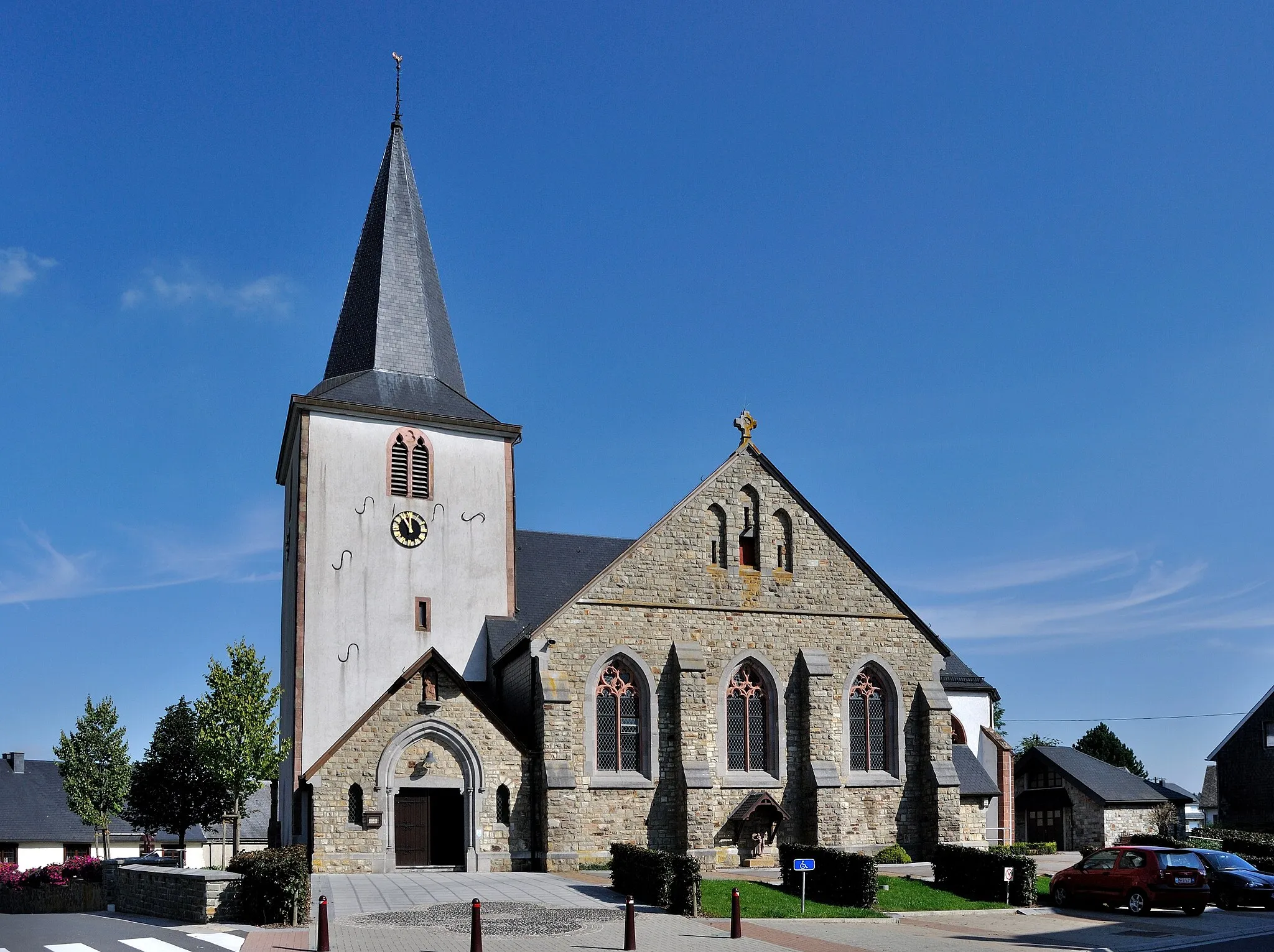
PepinsterVillagePass through the charming town of Pepinster and appreciate its mix of history and nature.
65 km
65 km
JalhayVillageExplore the scenic landscapes and small villages dotted along the route in Jalhay.
77 km
77 km
Signal de Botrange694 mViewpointConquer the ascent of Signal de Botrange, the highest point in Belgium, and enjoy stunning views from the top.
80 km
80 km
SourbrodtVillageFinish your journey in Sourbrodt village, where you can relax and celebrate your accomplishment.
83 km
83 km
Finish: Robertville Village centerRobertville: Tranquil cycling with stunning lake views
Cycling routes from Robertville:
Cycling routes nearby: