Charming cycling in Gits, Belgium
Cycling routes from Gits
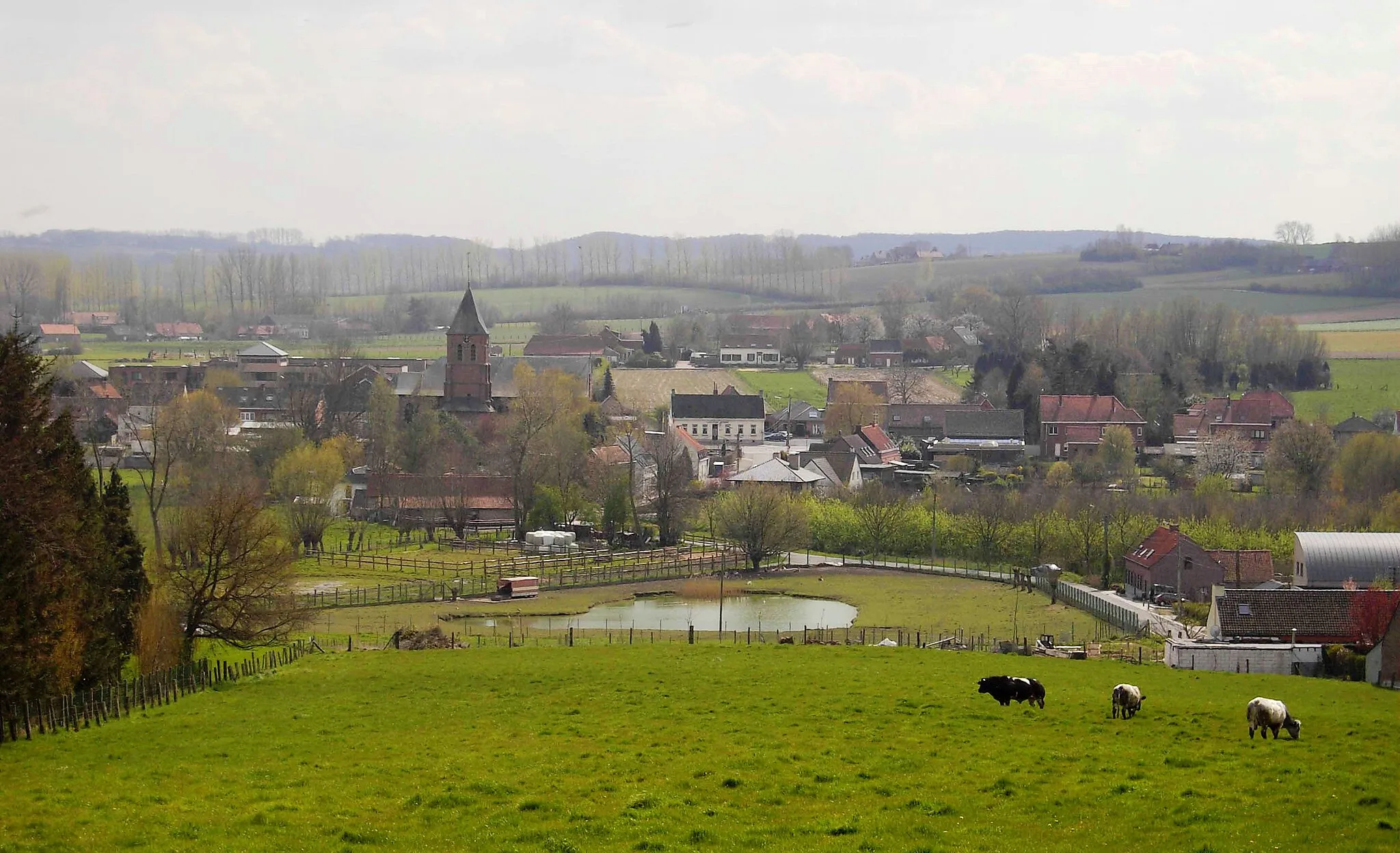
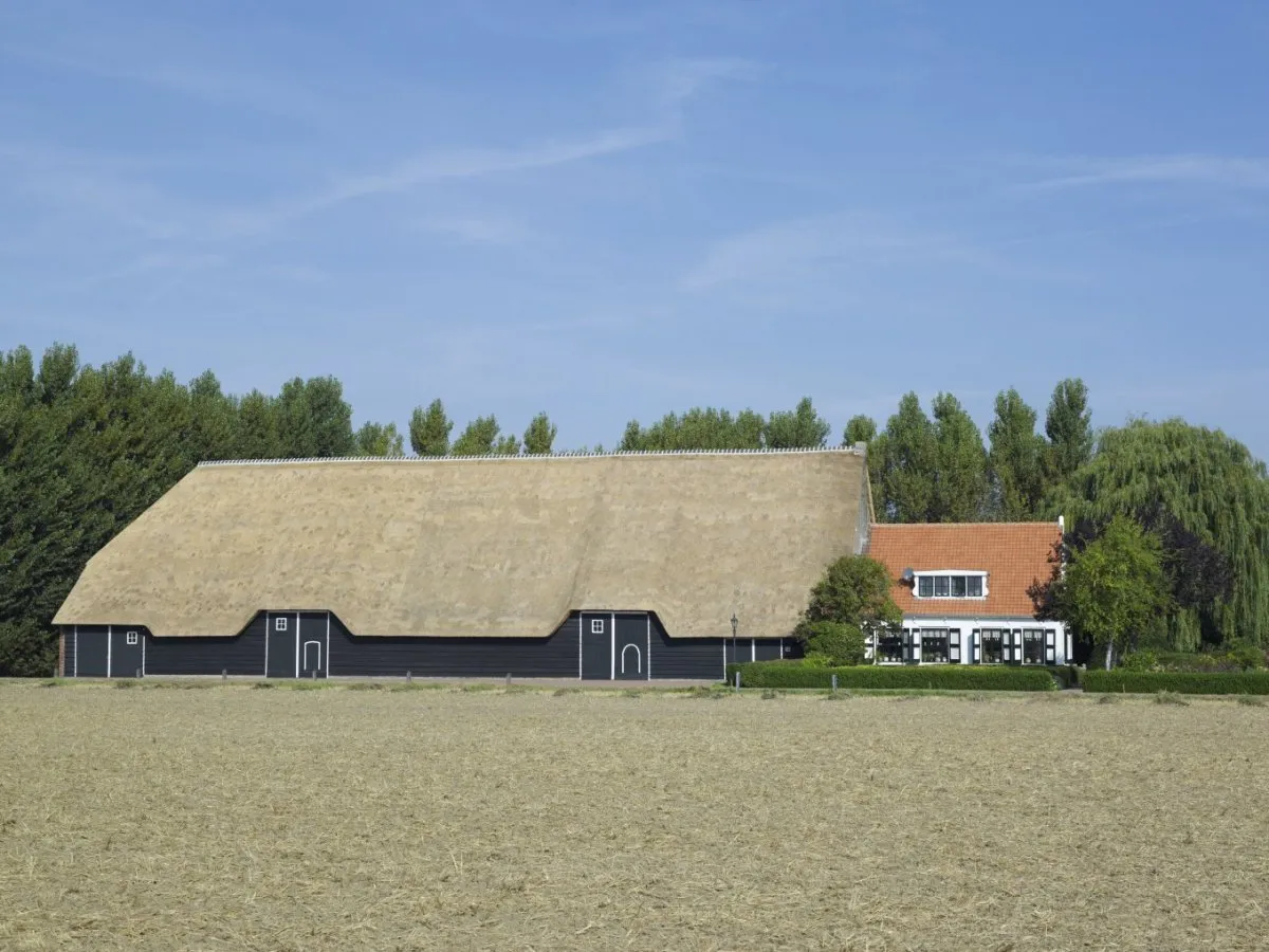
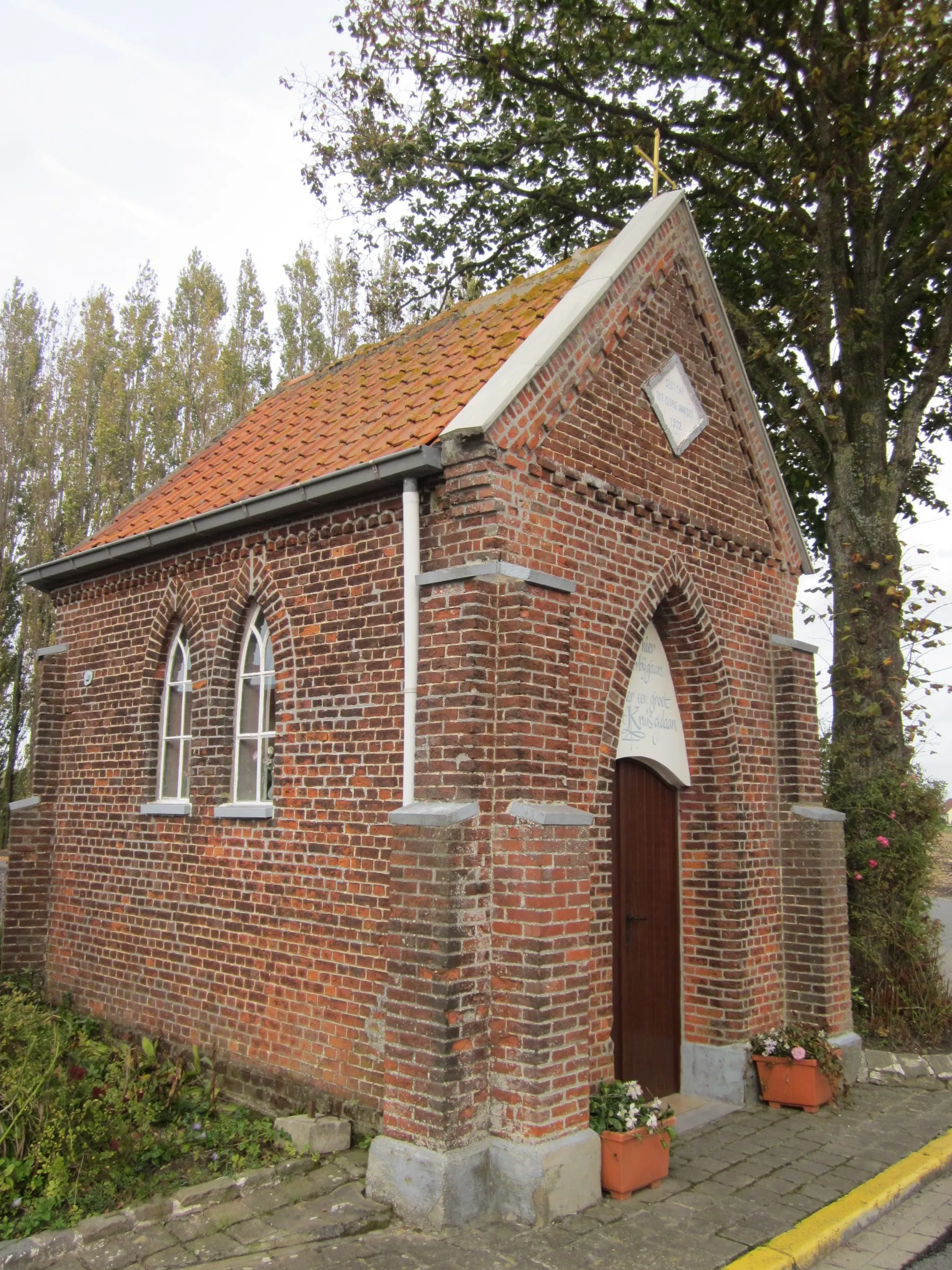
Gits, located in Prov. West-Vlaanderen, Belgium, is a relatively average locality for road and gravel cyclists. The region offers pleasant cycling routes through the countryside, with flat to rolling terrain. Cyclists can enjoy peaceful rides and explore the charming Belgian towns nearby. While Gits doesn't have any well-known cycling spots, it provides a pleasant environment for cycling enthusiasts. Gits receives a cycling perspective rank of 2.
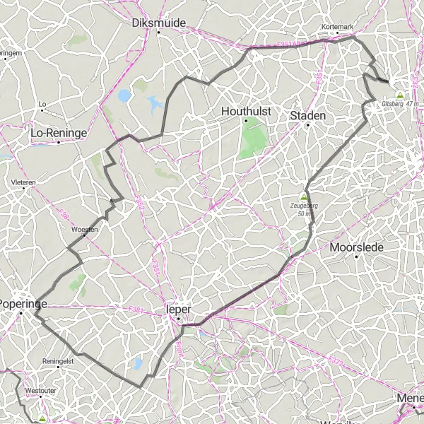
Embark on a thrilling gravel adventure around Gits and Ledegem
Get ready for an exciting gravel adventure around Gits and Ledegem. With a distance of 67 kilometers and an ascent of 210 meters, this route offers a challenge to experienced cyclists. The rugged terrain of gravel paths adds an element of thrill to the ride. Discover the picturesque landscapes and charming villages along the way. The difficulty level is rated as 4 out of 5, suitable for well-trained amateurs. The epicness score is 3 out of 5, making it a great choice for gravel enthusiasts.
Kortemark and Eernegem Loop
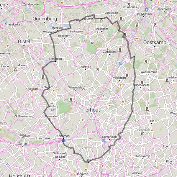
Explore the scenic countryside of Kortemark and Eernegem
This scenic route takes you through the beautiful countryside of Kortemark and Eernegem. With a total distance of 66 kilometers and an elevation gain of 135 meters, it provides a perfect balance for beginners and moderately experienced cyclists. Discover the charming village of Kortemark and enjoy the picturesque landscapes along the way. The difficulty level is rated as 2 out of 5, suitable for well-trained amateurs. The route's epicness score is 3 out of 5, offering a pleasant cycling experience without any legendary climbs or famous spots.
Experience the gravel paths of Kortemark and Lichtervelde
Take a journey through the the charming towns of Kortemark and Lichtervelde on this gravel loop. The route covers a distance of 51 kilometers with an elevation gain of 121 meters. Discover scenic gravel paths surrounded by lush green fields and historical landmarks. The difficulty level is rated as 2 out of 5, suitable for well-trained amateurs. The epicness score is 2 out of 5, offering a delightful experience for those seeking a balance between exploration and relaxation.
Discover the picturesque routes through Staden and Kortemark
This road cycling route takes you through the beautiful towns of Staden and Kortemark, offering scenic views along the way. With a distance of 57 km and an ascent of 129 m, this route is suitable for well-trained amateurs. Experience the charming countryside and enjoy the peaceful surroundings.
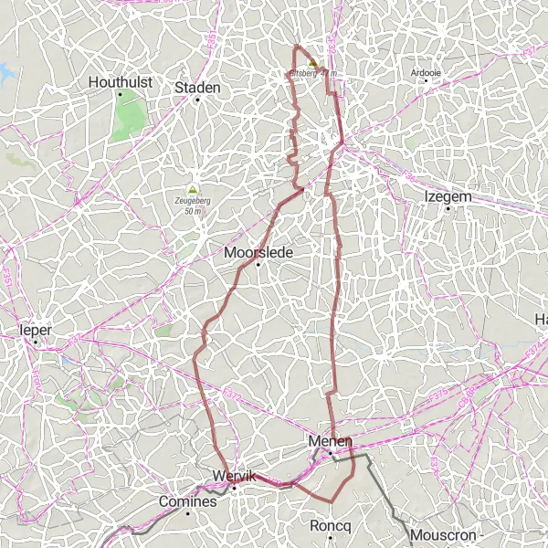
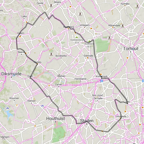
Embark on an adventurous gravel cycling route from Gits to Roeselare
This gravel cycling route covers a distance of 80 km with an ascent of 215 m, offering a thrilling adventure for cycling enthusiasts. Journey from Gits to Roeselare while enjoying the natural beauty and diverse landscapes. Highlights include the challenging climb of Gitsberg, the enchanting areas of Beveren and Paradijs, and the charming town of Ledegem. Immersed in the gravel experience, this route promises excitement and a unique perspective on the region.
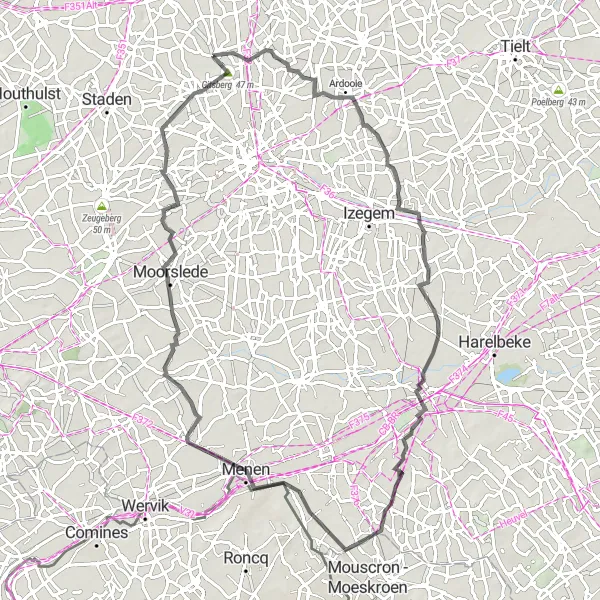
Experience the scenic beauty during the road cycling route from Gits to Hooglede
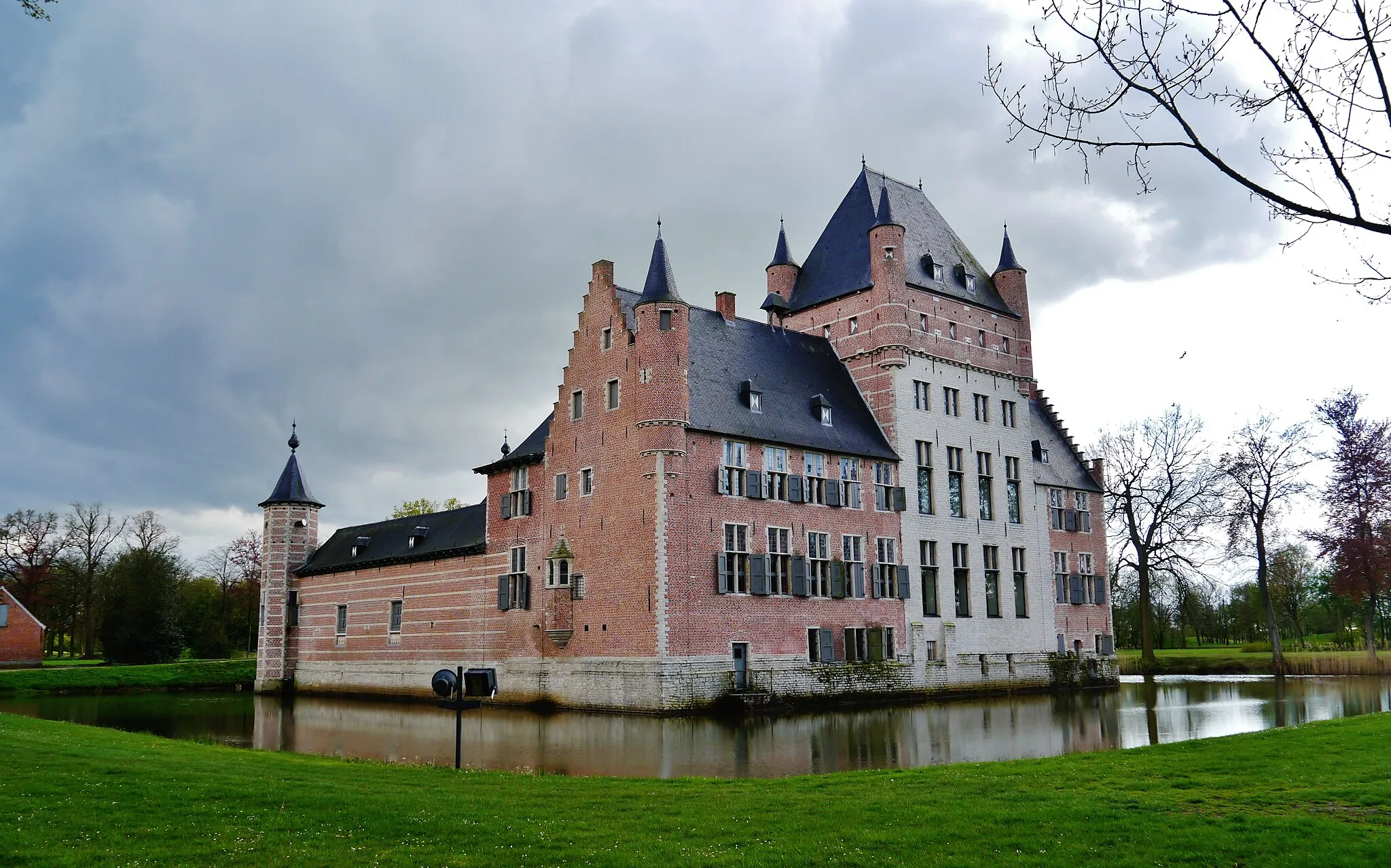
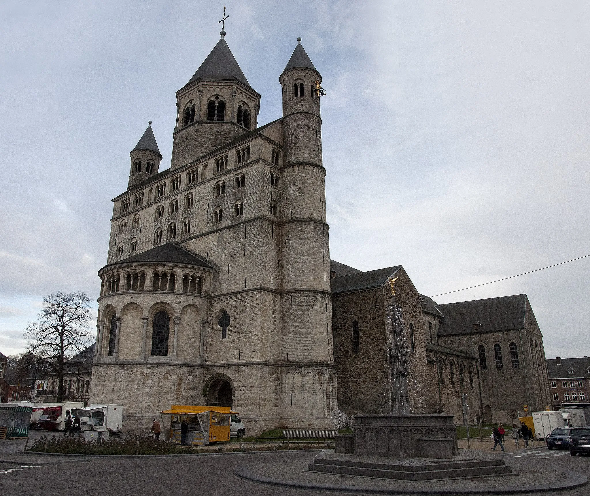
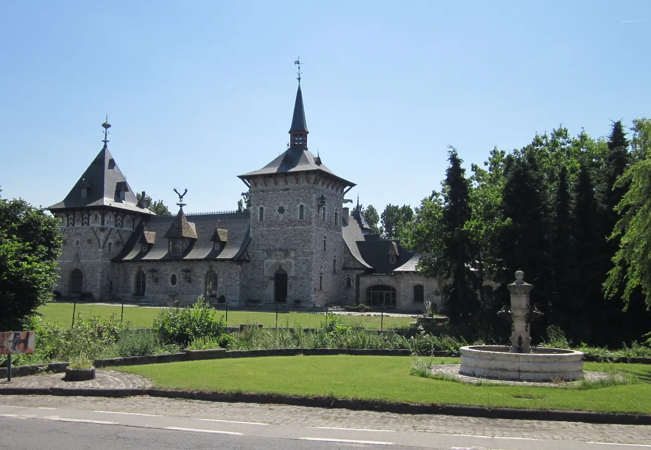
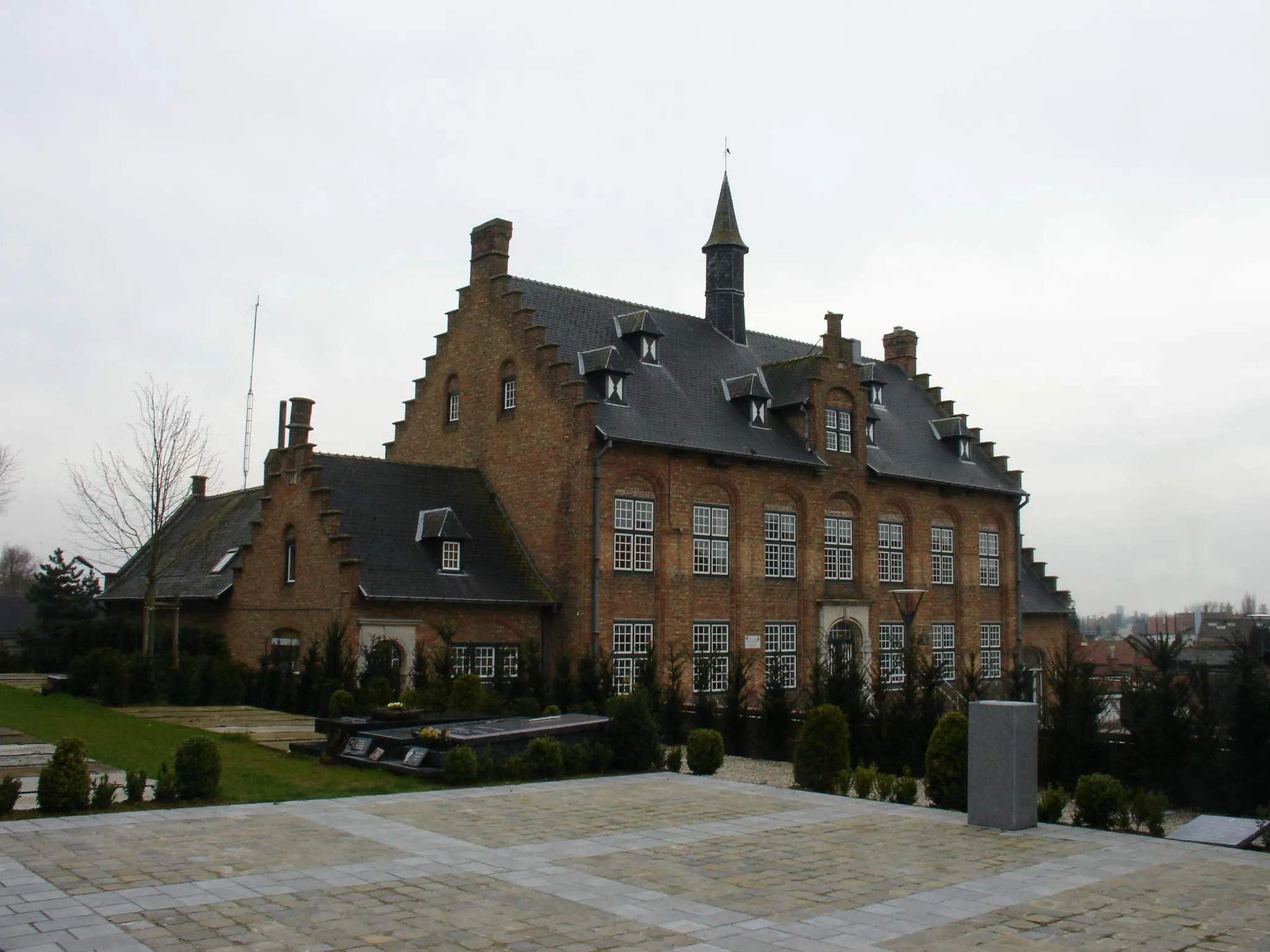
Discover the scenic landscapes and idyllic towns of Gits and Hooglede on this road cycling route. With a distance of 78 km and an ascent of 228 m, this route is suitable for well-trained amateurs. Highlights include the iconic Gits, the picturesque Kasteel Ingelmunster, and the charming town of Aalbeke. Explore the Stadspark "Bois de Boulogne" and admire the Gapersmonument before reaching the beautiful destination of Hooglede.
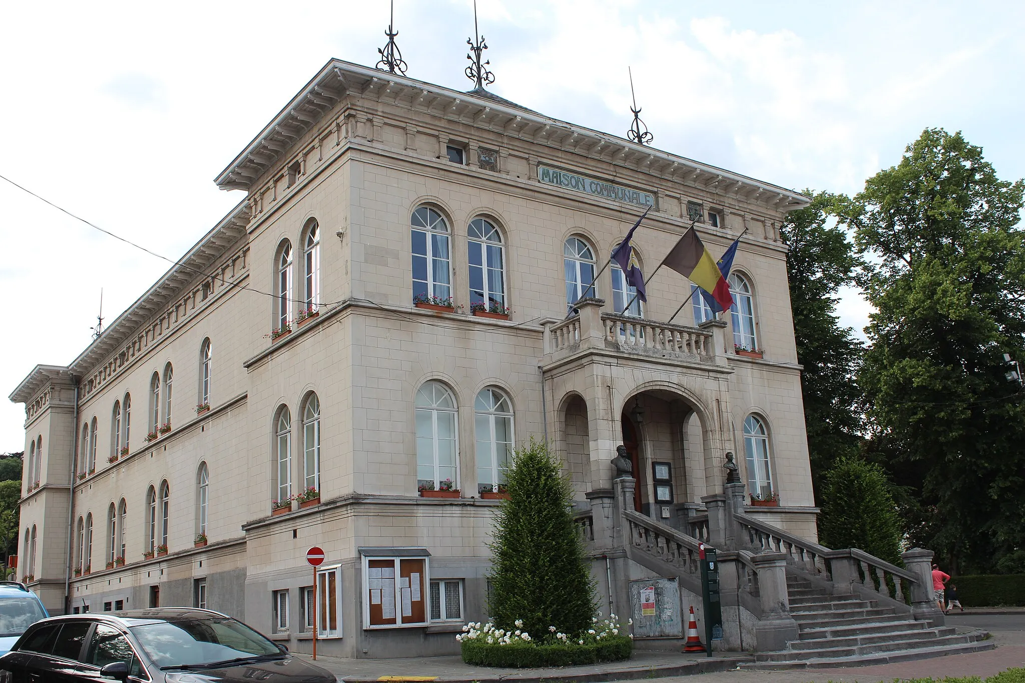
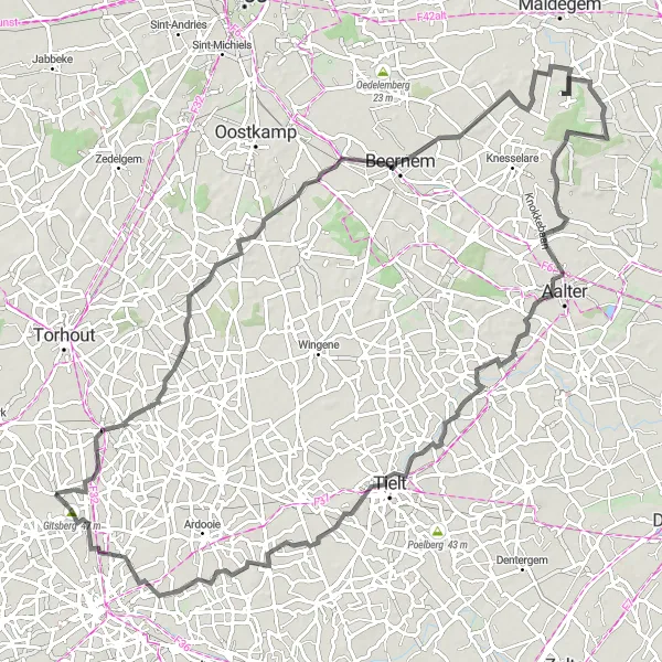
Experience the historical charm during the road cycling route from Westrozebeke to Kortemark
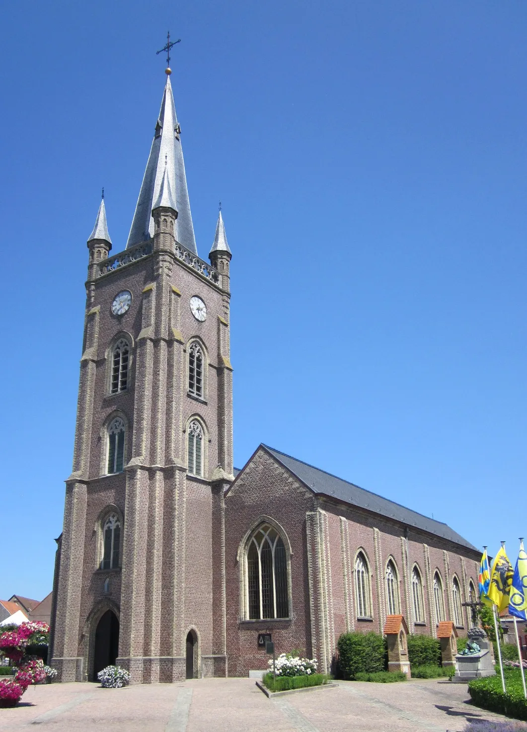
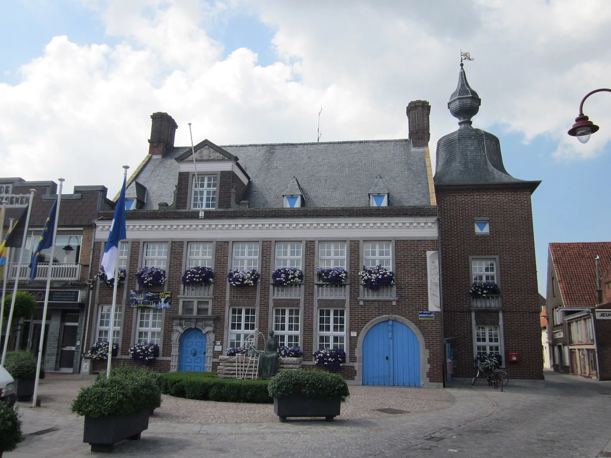
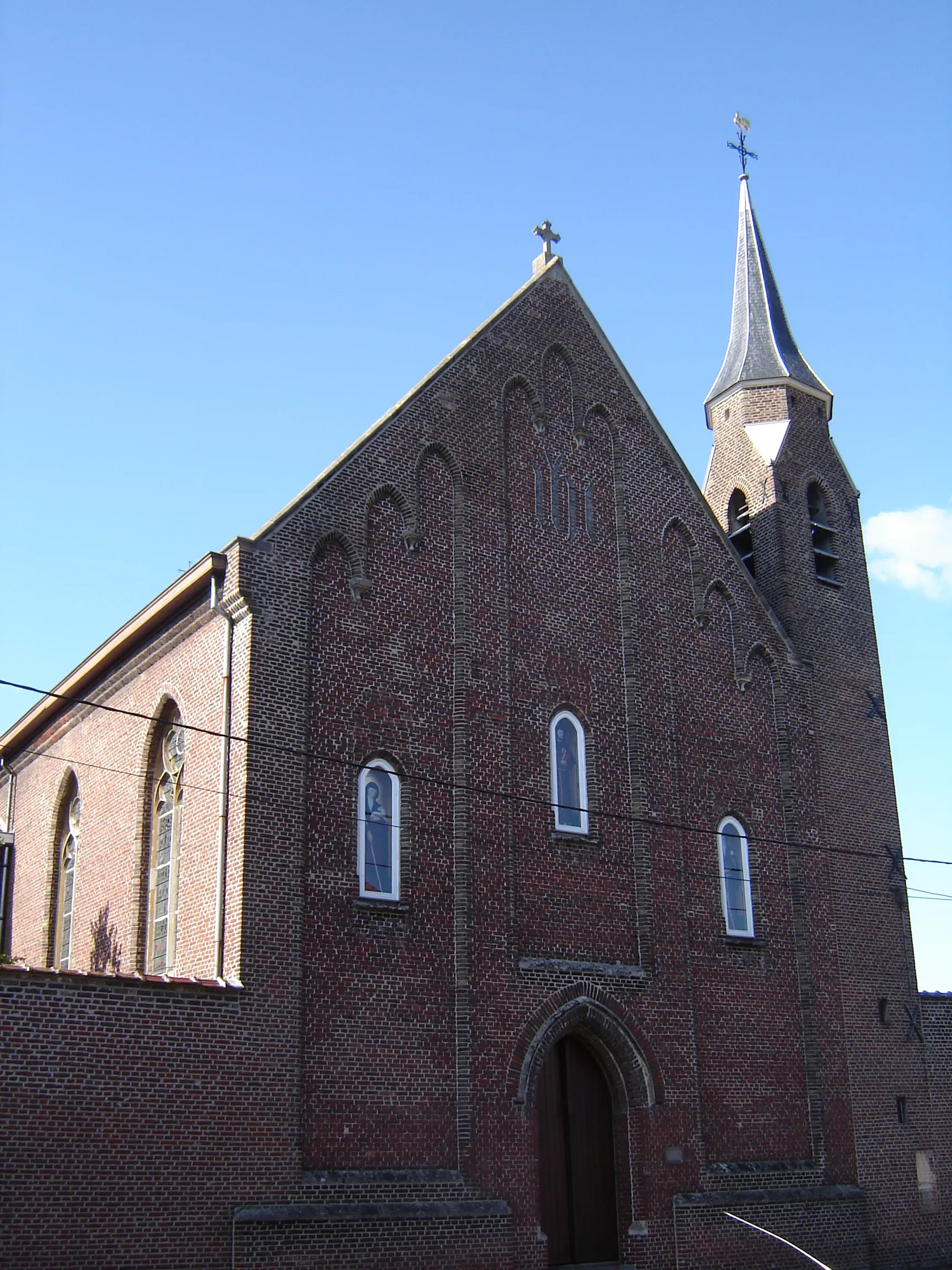
Embark on a journey rich in history from Westrozebeke to Kortemark. This road cycling route spans 88 km with an ascent of 214 m, offering a mix of cultural and natural attractions. Explore the historic town of Westrozebeke and marvel at the Zeugeberg monument. Cycle through the enchanting landscapes towards Kasteel Elzenwalle and Woesten, experiencing the historical significance of these landmarks. Finish your adventure at Kortemark, known for its picturesque surroundings and vibrant market square.
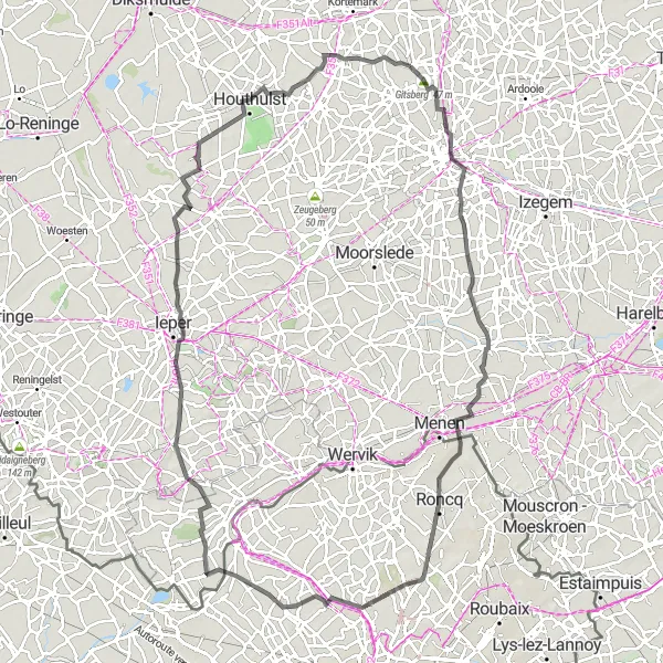
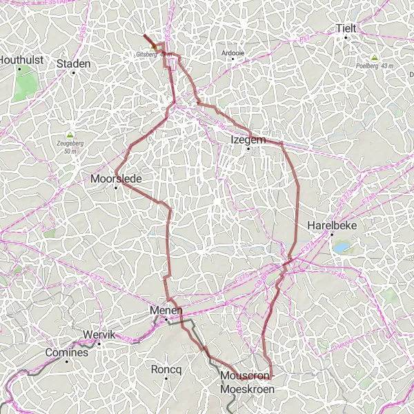
Embark on a legendary journey from Gits to Sint-Jozef / De Geite
This epic road cycling route spans 101 km and includes legendary spots such as Gitsberg and Sint-Jozef / De Geite. With an ascent of 265 m, this route is suitable for experienced cyclists. Explore fascinating attractions like the Vogelkijkwand and Kasteel van Moorsele, and continue the adventure towards Roncq and Frelinghien. Finish your journey at Pilkem and admire the beautiful surroundings.
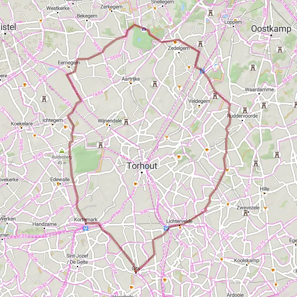
Uncover the beauty of Ruddervoorde and Ruiselede
Get ready to explore the hidden gems of Ruddervoorde and Ruiselede on this road cycling route. With a distance of 98 kilometers and an ascent of 183 meters, this route offers a longer journey with moderate challenges. Immerse yourself in the stunning countryside scenery and pass through charming villages along the way. The difficulty level is rated as 3 out of 5, suitable for well-trained amateurs. The epicness score is 3 out of 5, offering a ride that is not too demanding but still filled with captivating sights.
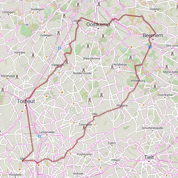
Explore the scenic gravel paths of Torhout and Beernem
Immerse yourself in the serenity of Torhout and Beernem on this gravel cycling route. With a distance of 64 kilometers and an elevation gain of 145 meters, this route offers a balanced mix of challenges and scenic beauty. Cycle through gravel paths surrounded by picturesque countryside views. The difficulty level is rated as 3 out of 5, suitable for well-trained amateurs. The route's epicness score is 2 out of 5, making it a refreshing journey for recreational cyclists.
Cycling routes nearby:

Nearby regions: