Torhout and Beernem Gravel Loop
A gravel cycling route starting from Gits
Explore the scenic gravel paths of Torhout and Beernem
Map
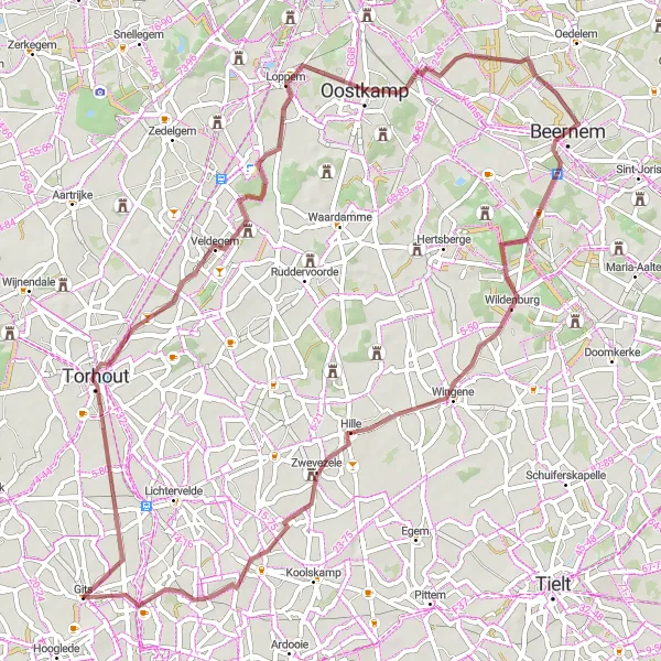
Immerse yourself in the serenity of Torhout and Beernem on this gravel cycling route. With a distance of 64 kilometers and an elevation gain of 145 meters, this route offers a balanced mix of challenges and scenic beauty. Cycle through gravel paths surrounded by picturesque countryside views. The difficulty level is rated as 3 out of 5, suitable for well-trained amateurs. The route's epicness score is 2 out of 5, making it a refreshing journey for recreational cyclists.
gravel
64 km
145 m
Tough
Route profile
Highlights on the route
0 km
0 km
Start: Gits Village centerGits: Charming cycling in Gits, Belgium
Gits, located in Prov. West-Vlaanderen, Belgium, is a relatively average locality for road and gravel cyclists. The region offers pleasant cycling routes through the countryside, with flat to rolling terrain. Cyclists can enjoy peaceful rides and explore the charming Belgian towns nearby. While Gits doesn't have any well-known cycling spots, it provides a pleasant environment for cycling enthusiasts. Gits receives a cycling perspective rank of 2.8 km
8 km
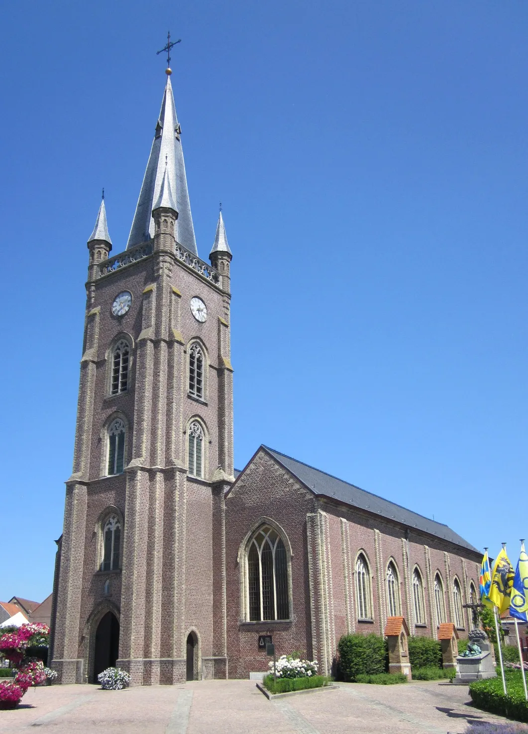
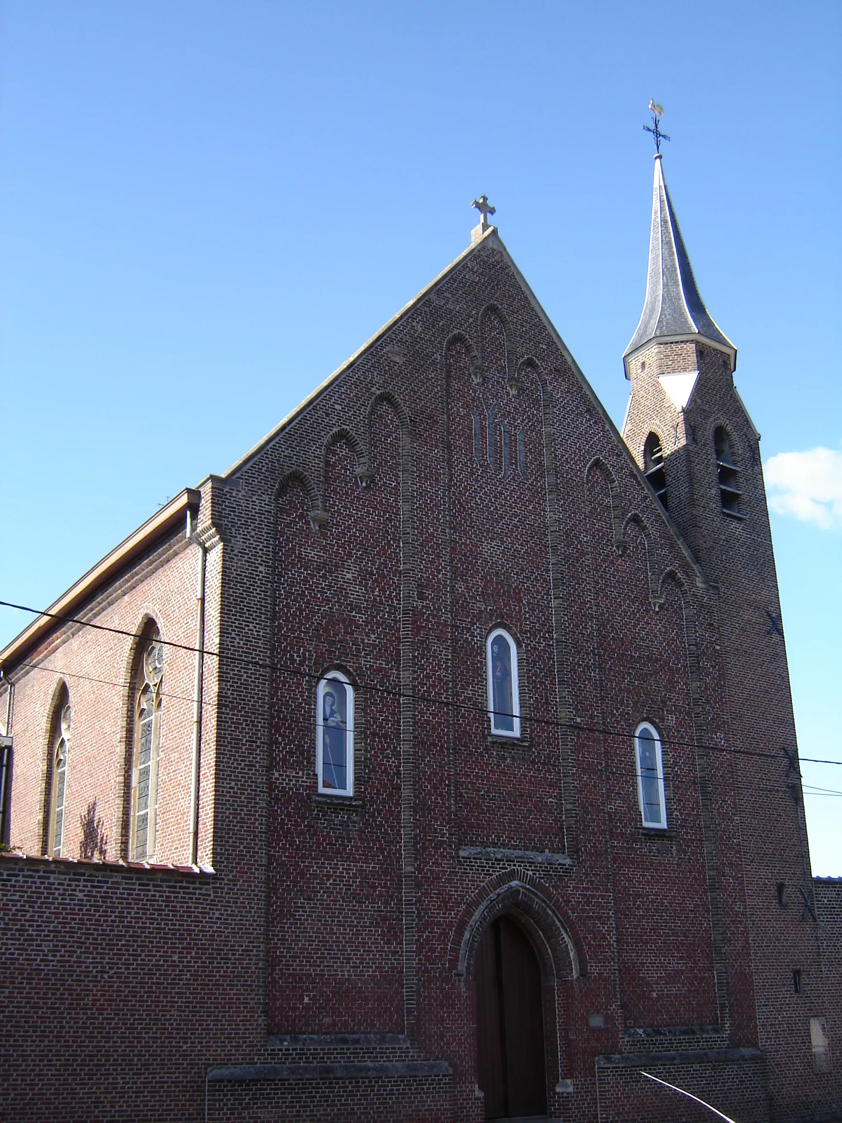
TorhoutTownDiscover Torhout, a historic city with a rich cultural heritage and impressive architecture.
23 km
23 km
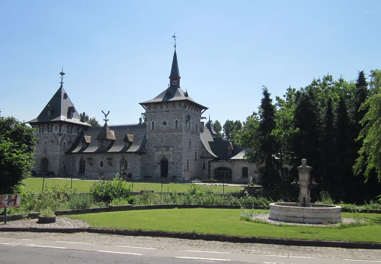
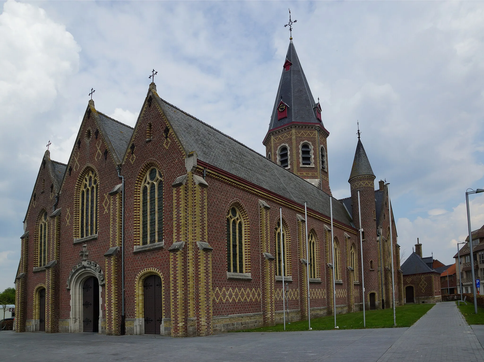
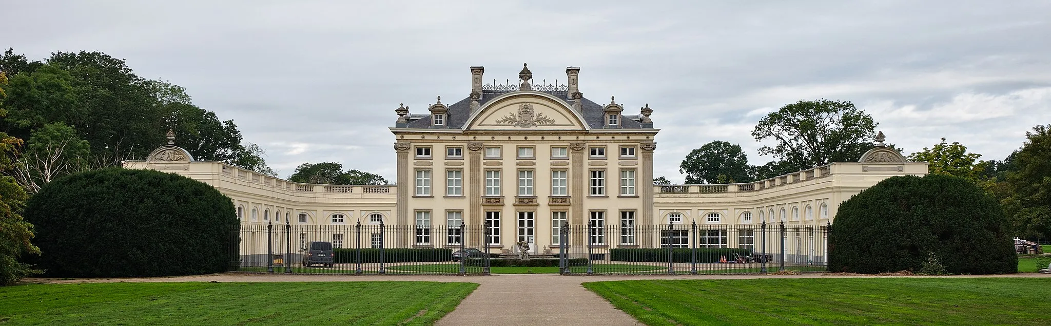
LoppemVillagePass through Loppem, a charming village renowned for its picturesque castle and stunning gardens.
36 km
36 km
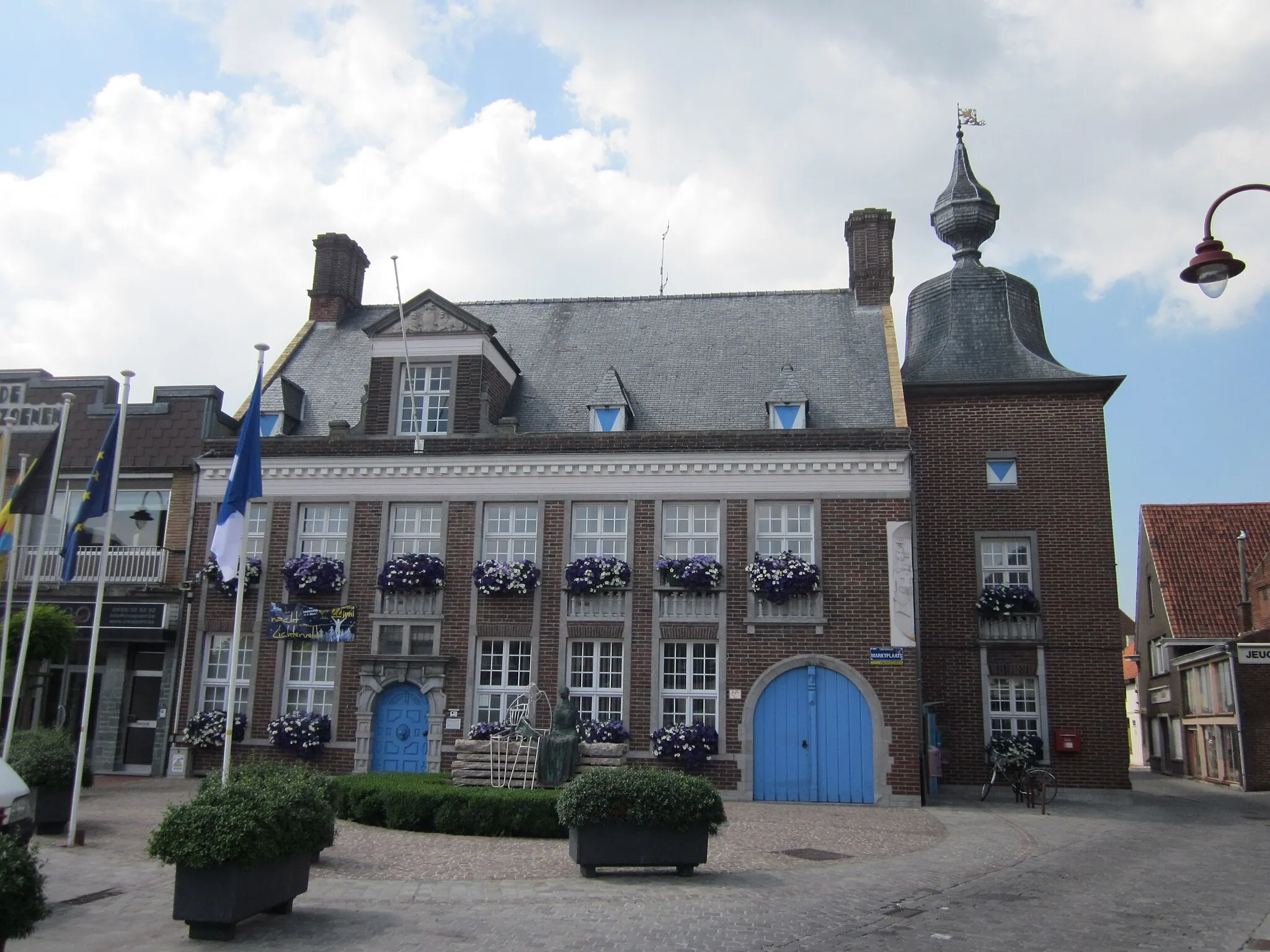
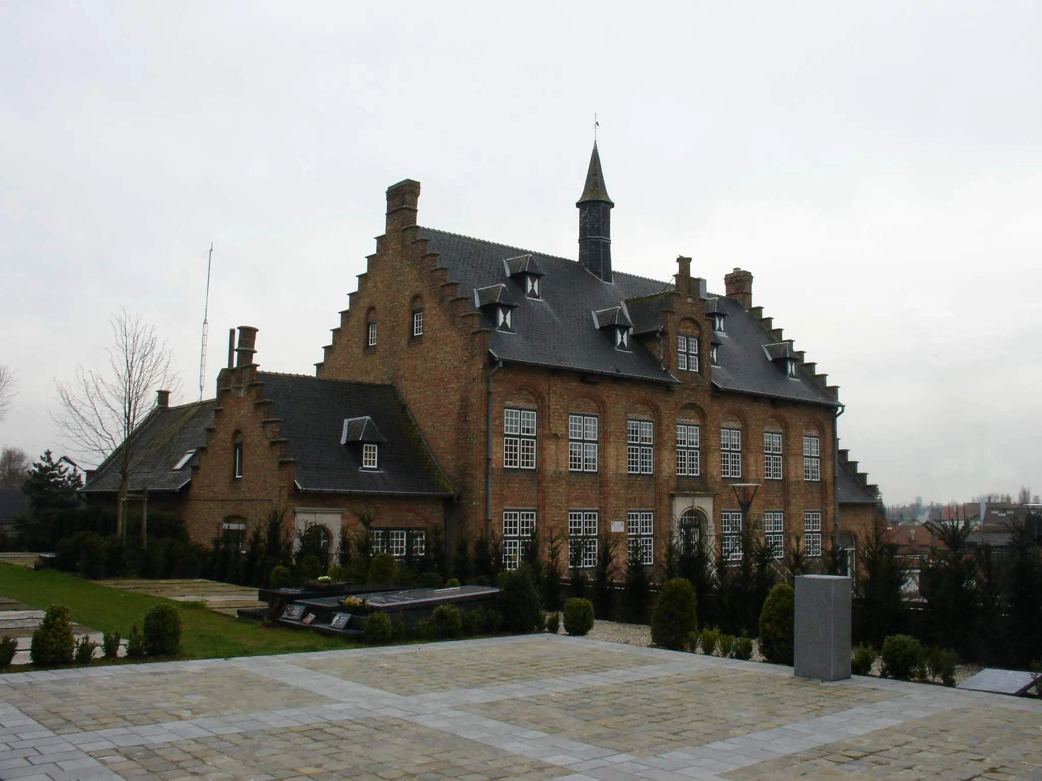
BeernemTownVisit Beernem, a peaceful town known for its verdant parks and beautiful canals.
43 km
43 km
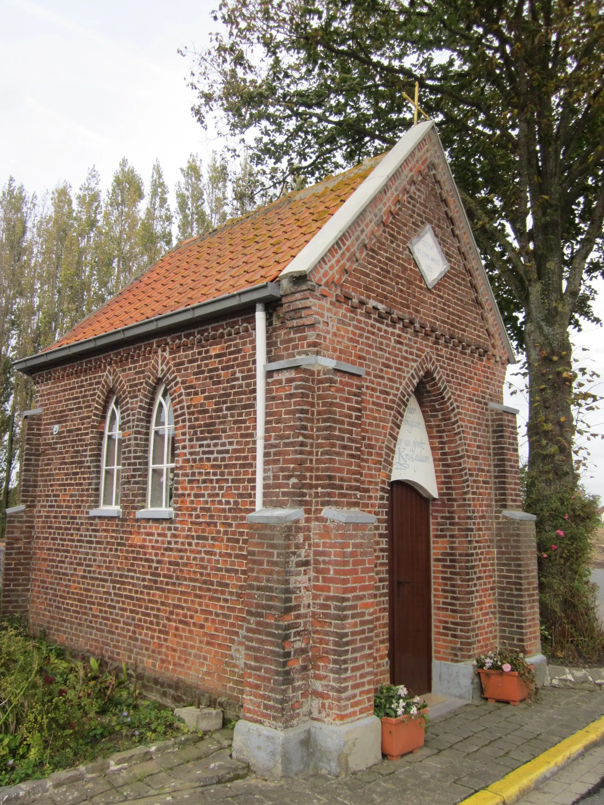
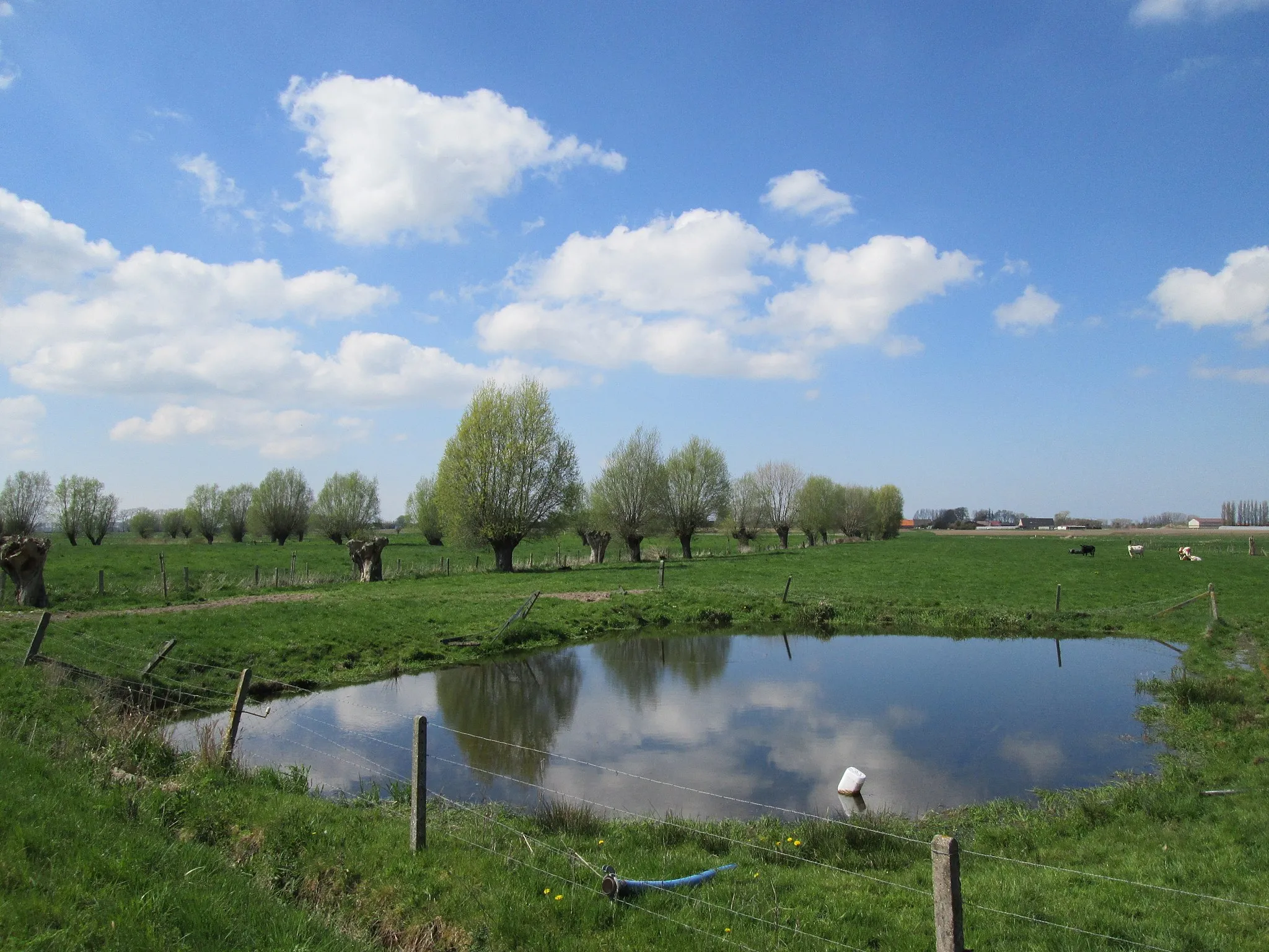
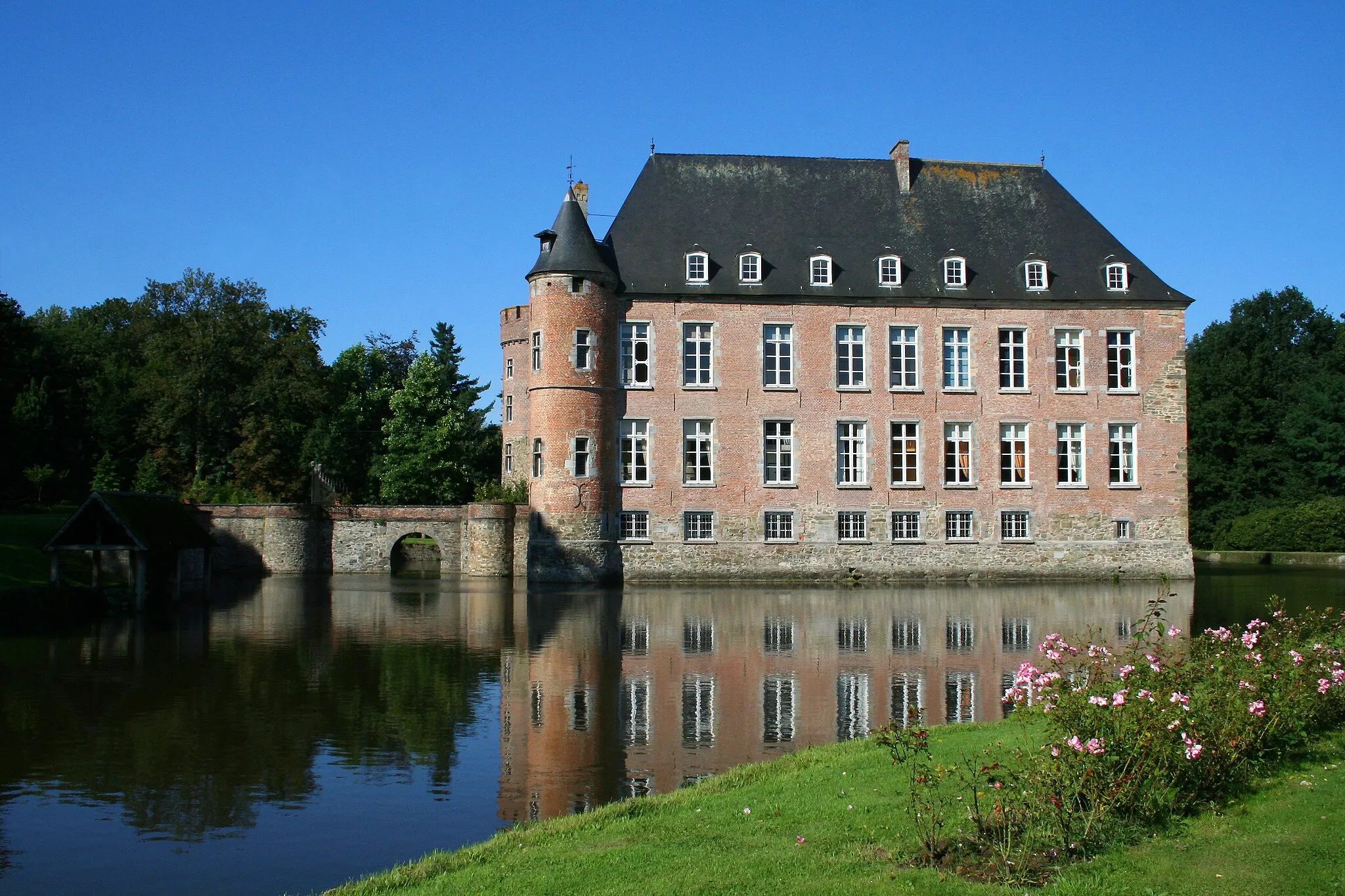
WildenburgVillageExplore Wildenburg, a serene countryside area with expansive meadows and enchanting forests.
51 km
51 km
HilleVillageCycle through Hille, a small village surrounded by farms and rural landscapes.
64 km
64 km
Gitsberg47 mPeakEnjoy the challenge of Gitsberg, a steep hill offering panoramic views of the region.
64 km
64 km
Finish: Gits Village centerGits: Charming cycling in Gits, Belgium
Cycling routes from Gits:
Kortemark and Lichtervelde Gravel Loop Discover the Hidden Gems of Ruddervoorde and Ruiselede Gits to Roeselare - Adventurous Gravel Cycling Kortemark and Eernegem Loop Gits and Ledegem Gravel Adventure Staden to Kortemark - Scenic Road Cycling Gits to Hooglede - Scenic Road Cycling Gits to Sint-Jozef / De Geite - Legendary Road Cycling Torhout and Beernem Gravel Loop Westrozebeke to Kortemark - Historical Road Cycling
Cycling routes nearby: