The Gravel Explorer
A gravel cycling route starting from Houthulst
Embark on a short but exciting gravel adventure, exploring the lesser-known highlights near Houthulst.
Map
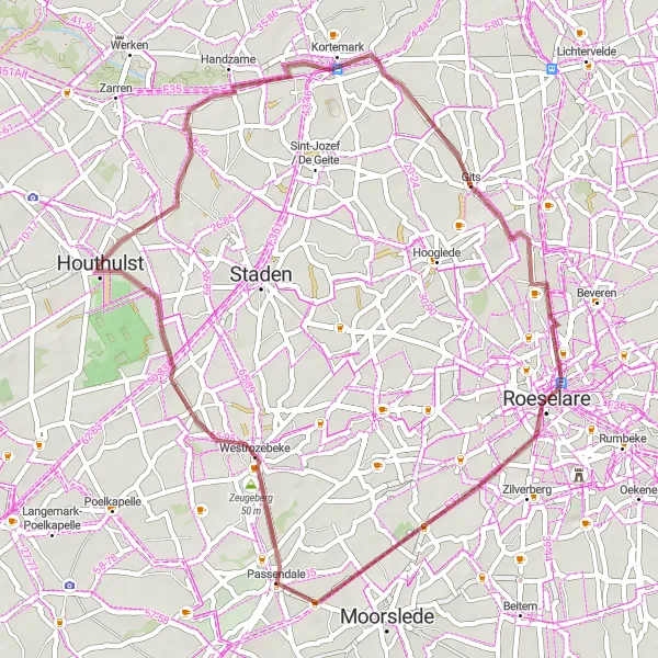
This gravel route offers a compact but rewarding experience of the West-Vlaanderen region. With a gentle ascent of 102 meters over a distance of 45 kilometers, this route is perfect for a quick yet fulfilling cycling adventure. Discover the hidden treasures of Kortemark, Gits, Gitsberg, Passchendaele, and Zeugeberg. Immerse yourself in the natural beauty of the region, while exploring the rich history and cultural heritage of each highlight.
gravel
45 km
102 m
Chill
Route profile
Highlights on the route
0 km
0 km
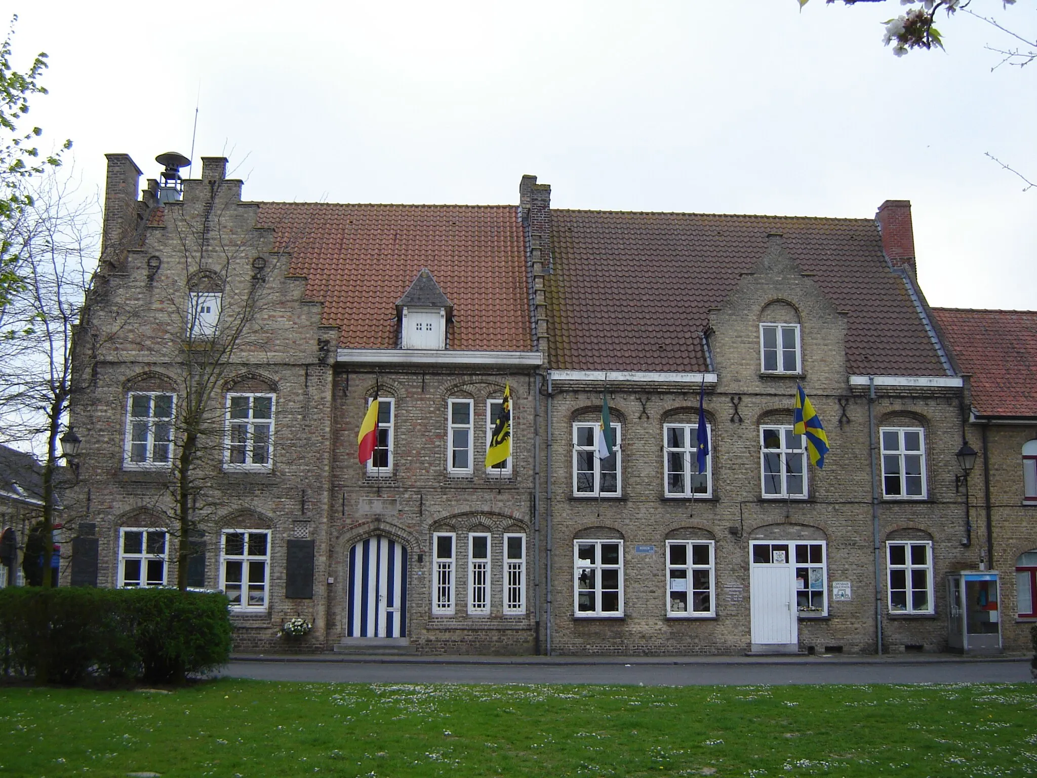
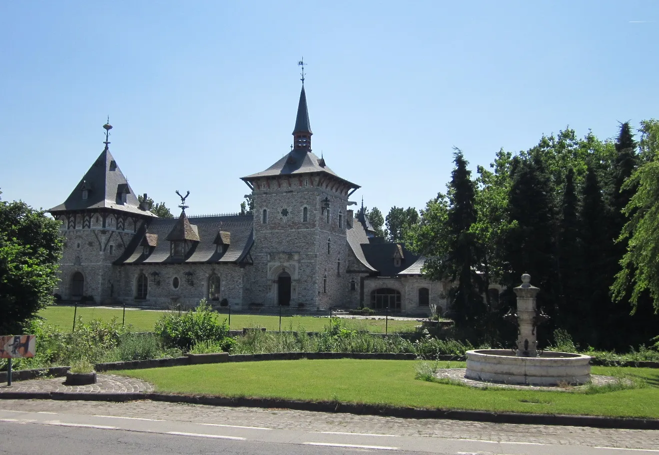
Start: Houthulst City centerHouthulst: Cycle through picturesque countryside roads and enjoy the tranquility of Houthulst in Belgium.
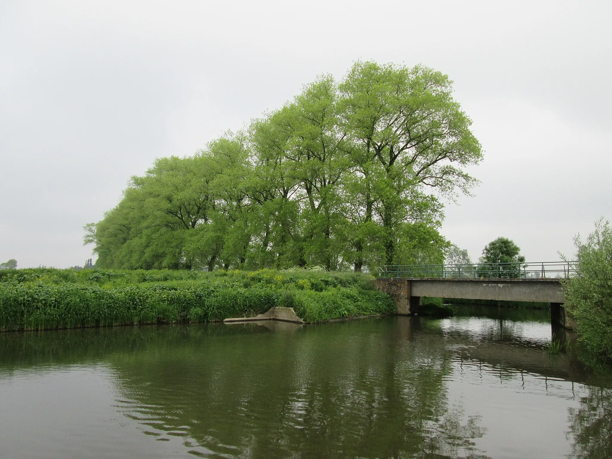
Houthulst is a locality located in the West-Vlaanderen province of Belgium. From a cyclist's perspective, Houthulst offers picturesque countryside roads and an ideal environment for road and gravel cycling. The area is relatively flat, making it suitable for cyclists of all levels. Cyclists exploring Houthulst can enjoy the tranquility of the surrounding nature and discover charming villages along their routes. There are also several well-known climbs, such as the Kemmelberg, in the nearby region, making it a popular destination for cycling enthusiasts.10 km
10 km
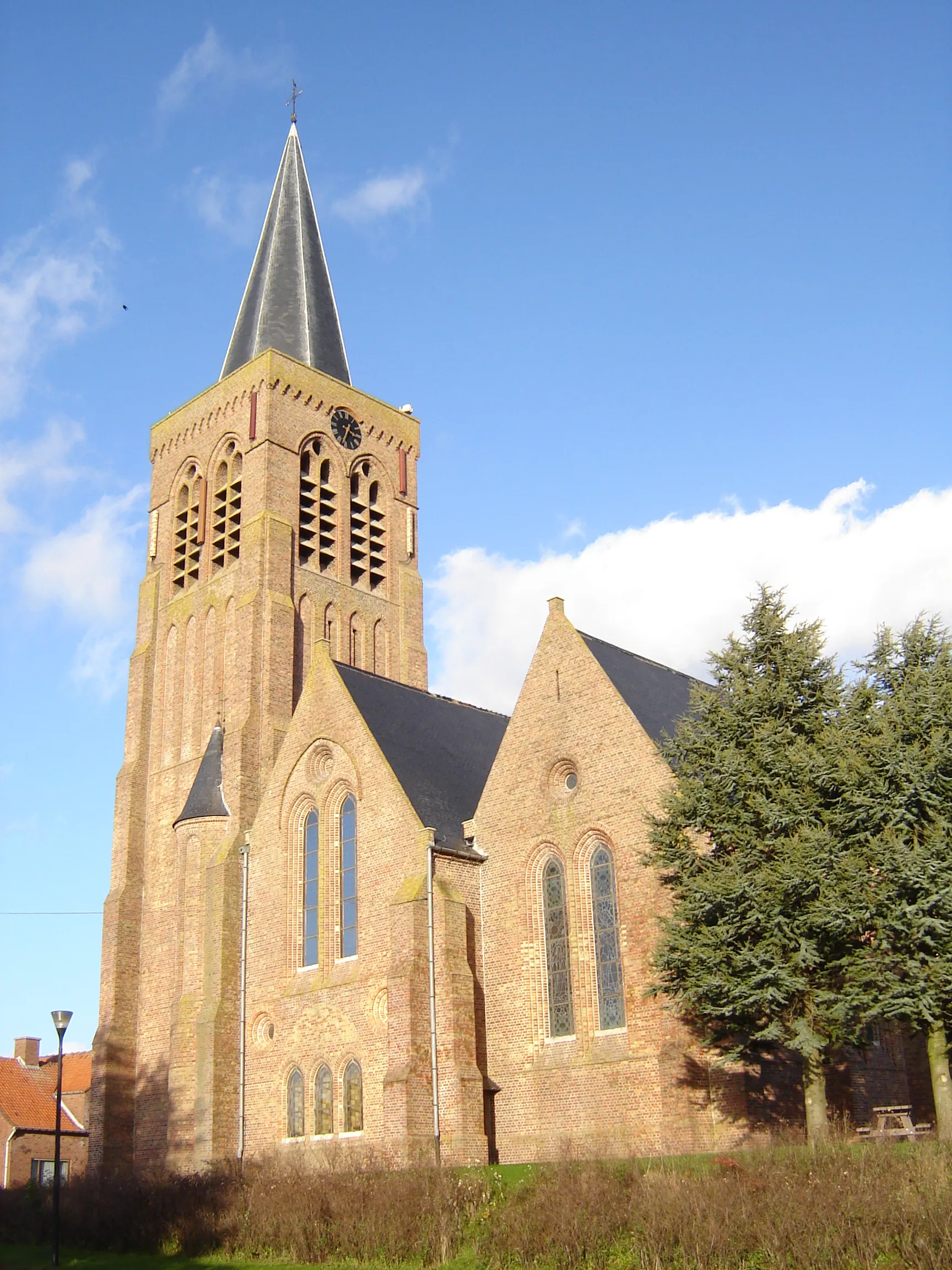
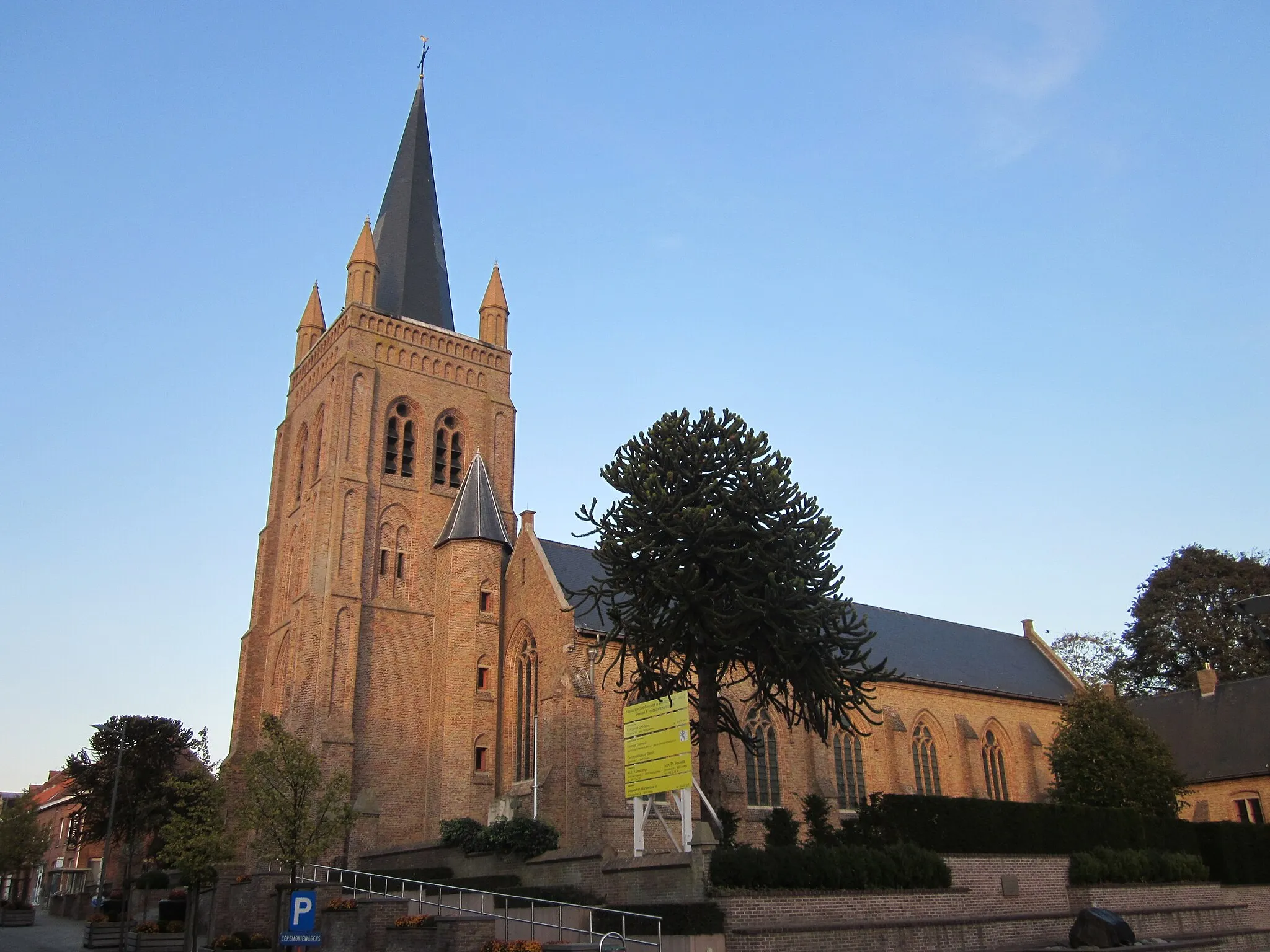
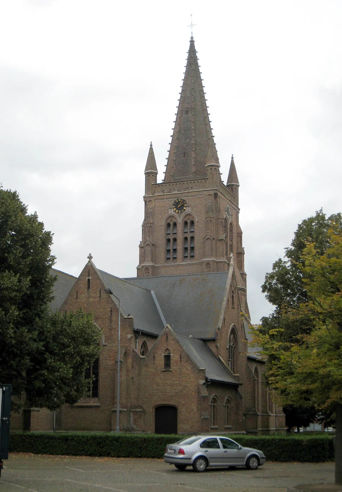
KortemarkVillageExplore the small town of Kortemark and learn about its agricultural roots and traditions.
16 km
16 km
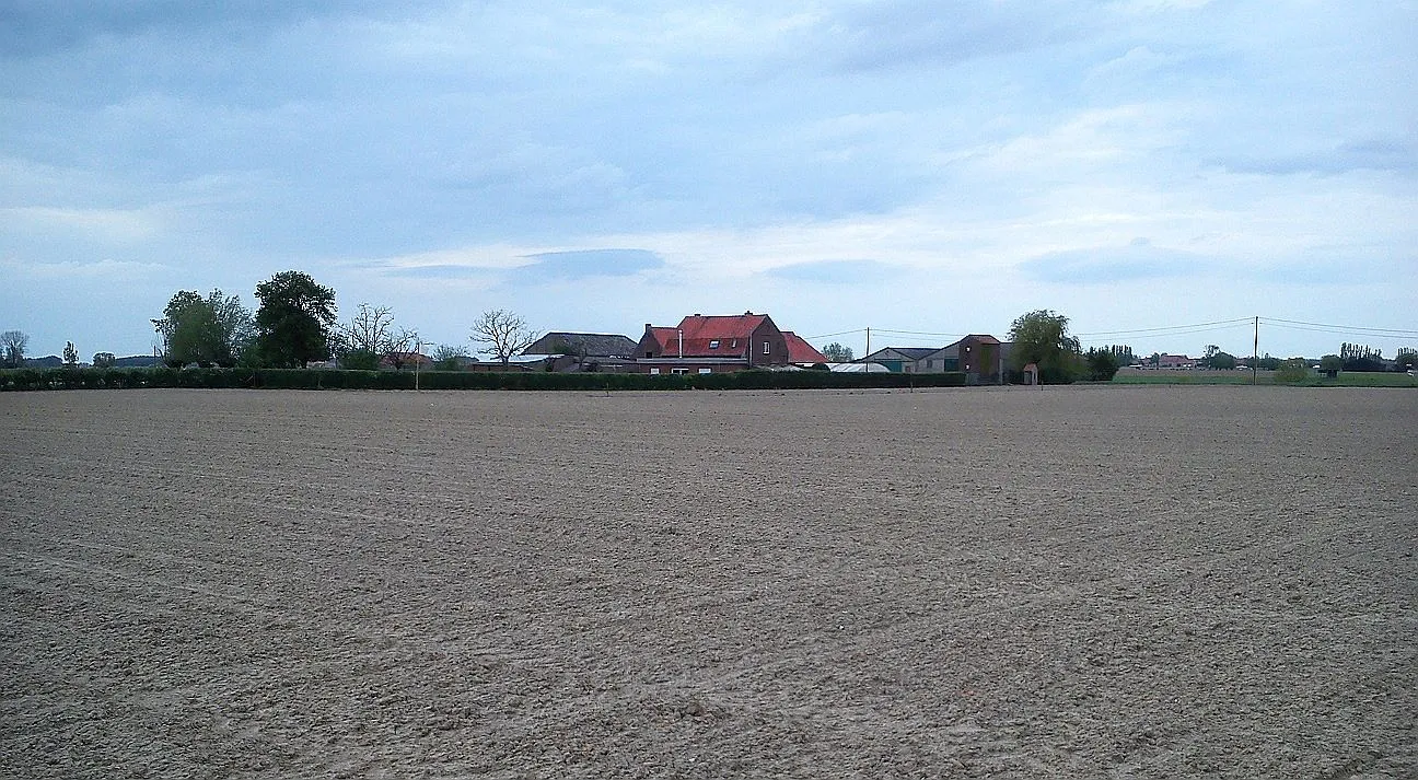
GitsVillageDiscover the picturesque village of Gits, known for its charming streets and cozy cafés.
17 km
17 km
Gitsberg47 mPeakClimb Gitsberg and enjoy breathtaking views of the surrounding countryside.
34 km
34 km
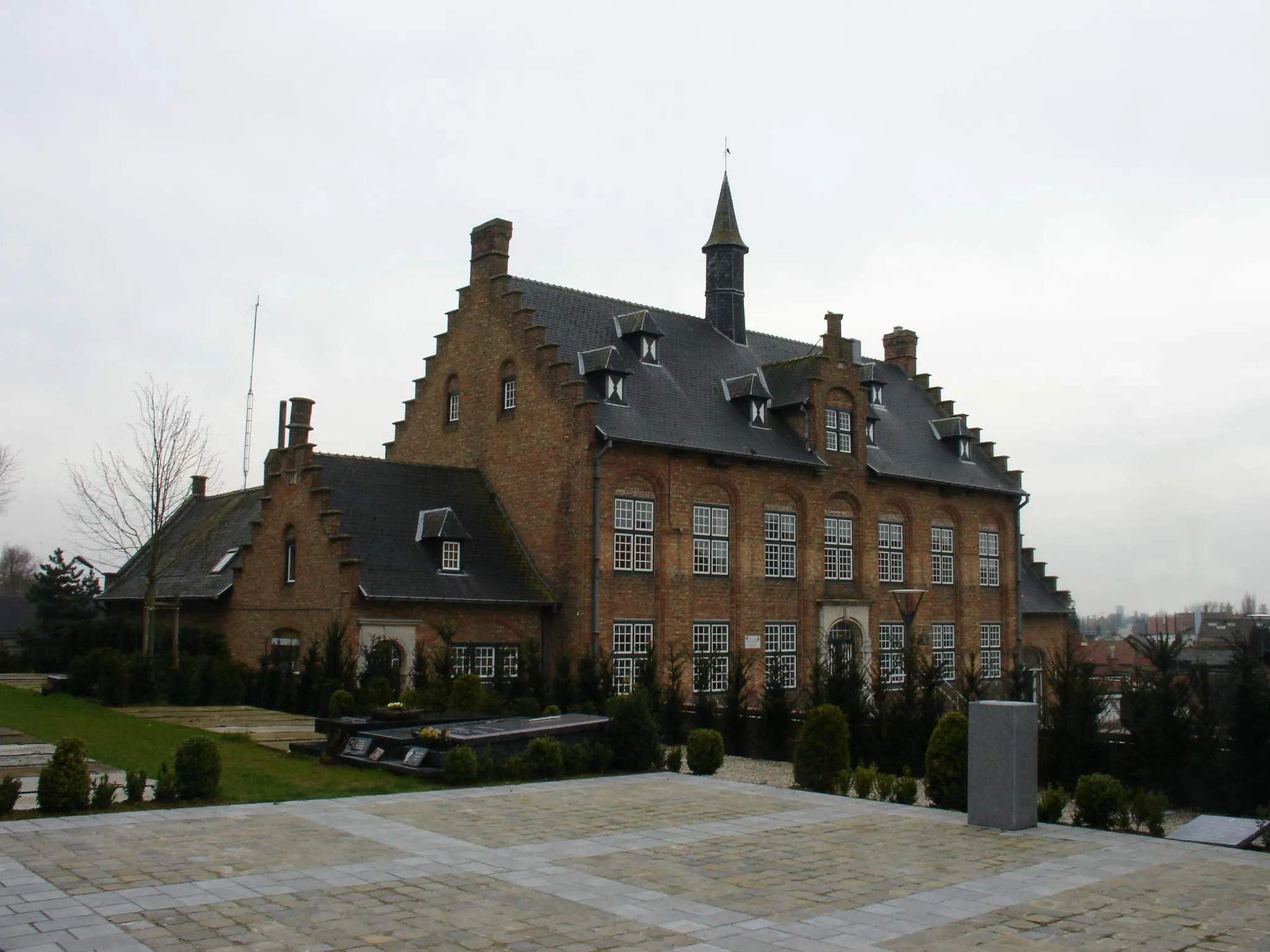
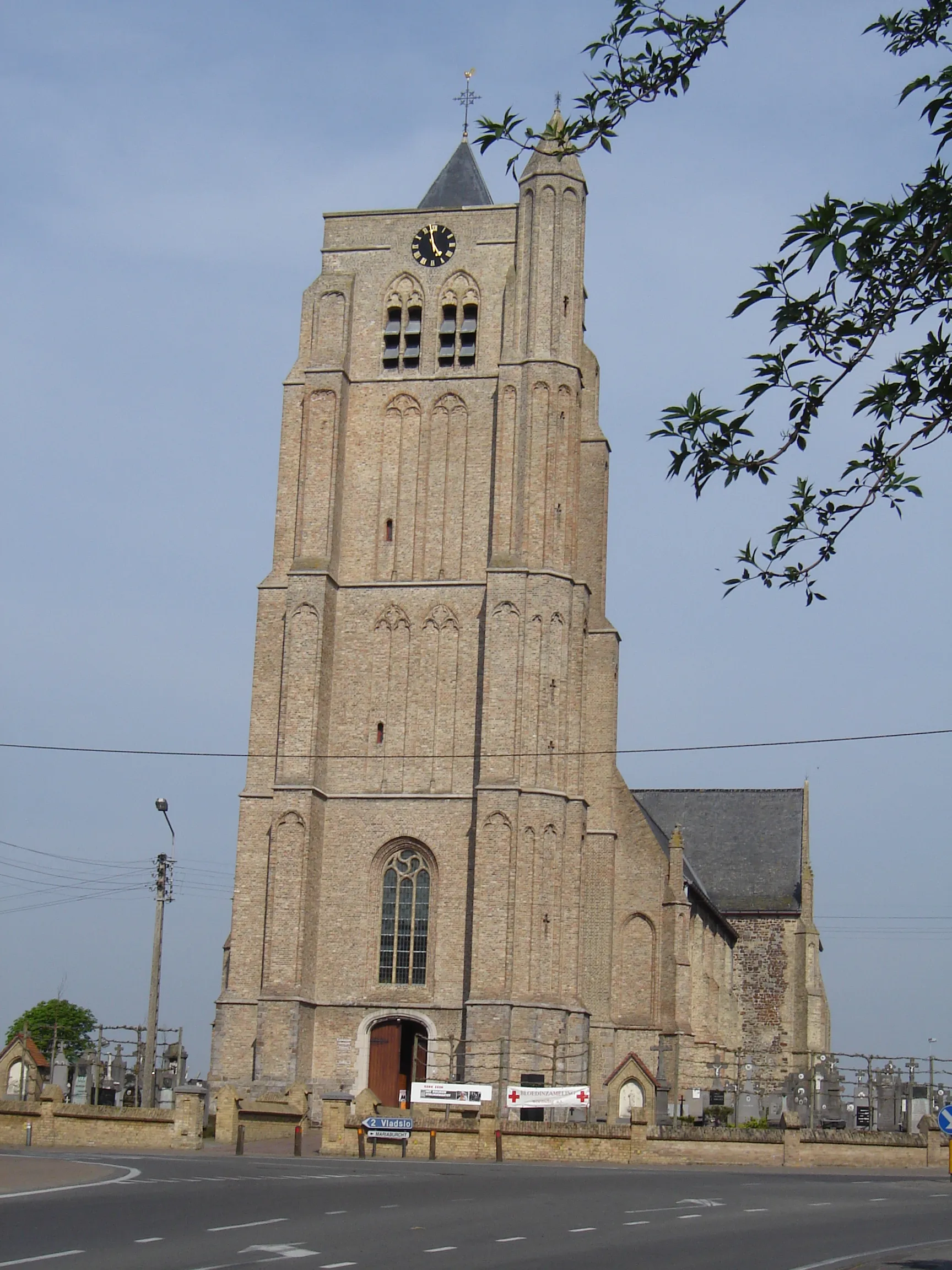
PasschendaeleVillageReflect on the historical importance of Passchendaele and its significance during World War I.
37 km
37 km
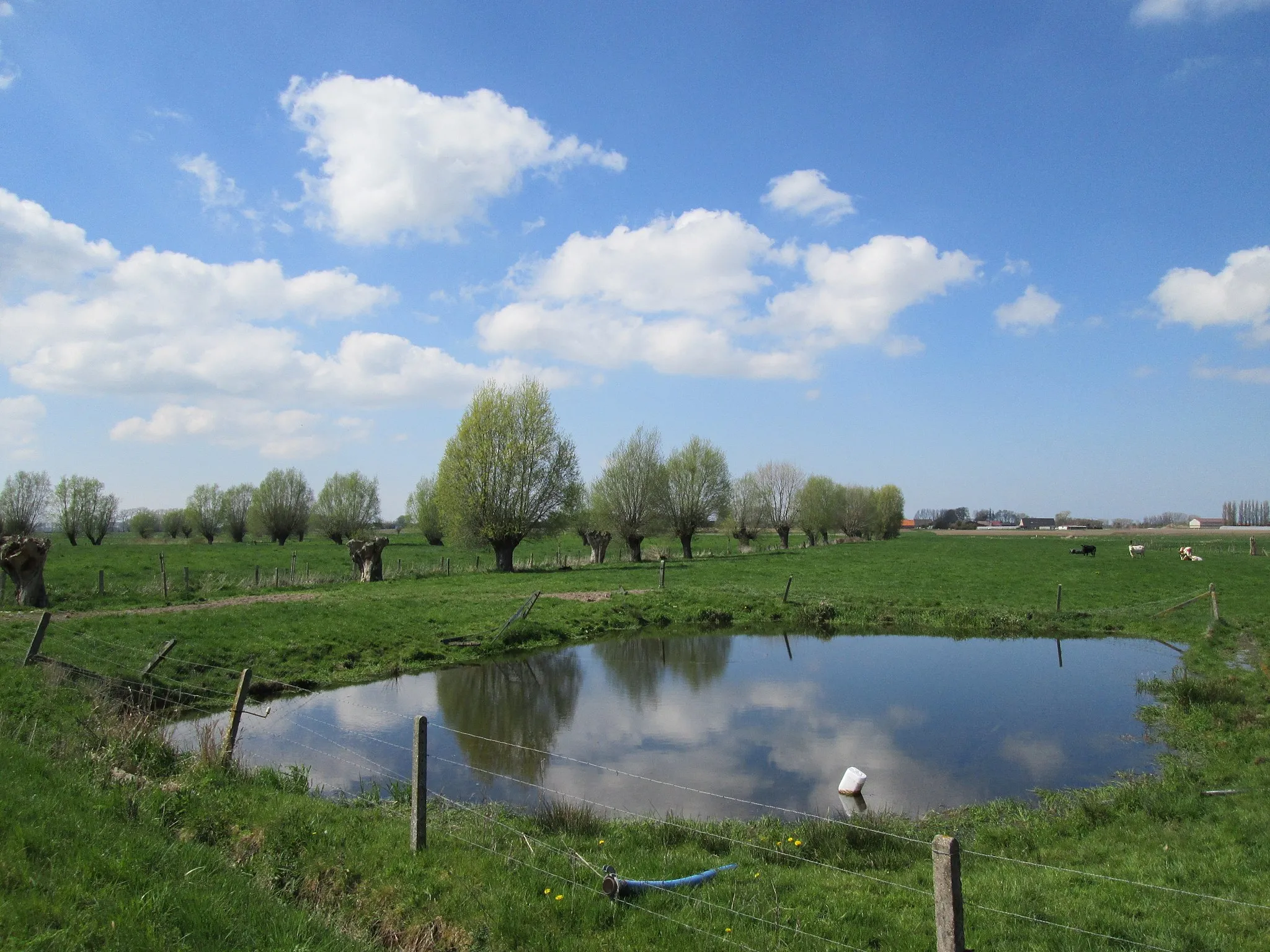
Zeugeberg50 mPeakAscend Zeugeberg and experience the peacefulness of the West-Vlaanderen countryside from its highest point.
45 km
45 km
Finish: Houthulst City centerHouthulst: Cycle through picturesque countryside roads and enjoy the tranquility of Houthulst in Belgium.
Cycling routes nearby: