Sint-Andries to Varsenare
A road cycling route starting from Sint-Andries
Explore the countryside on this road route from Sint-Andries to Varsenare
Map

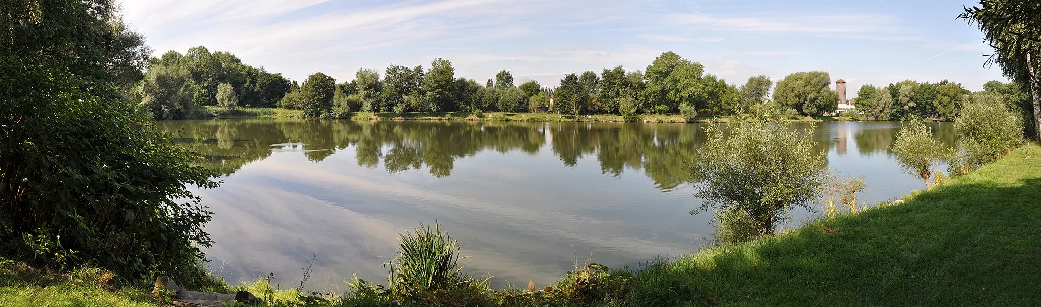
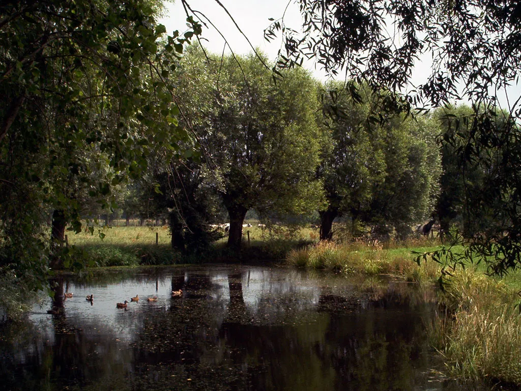
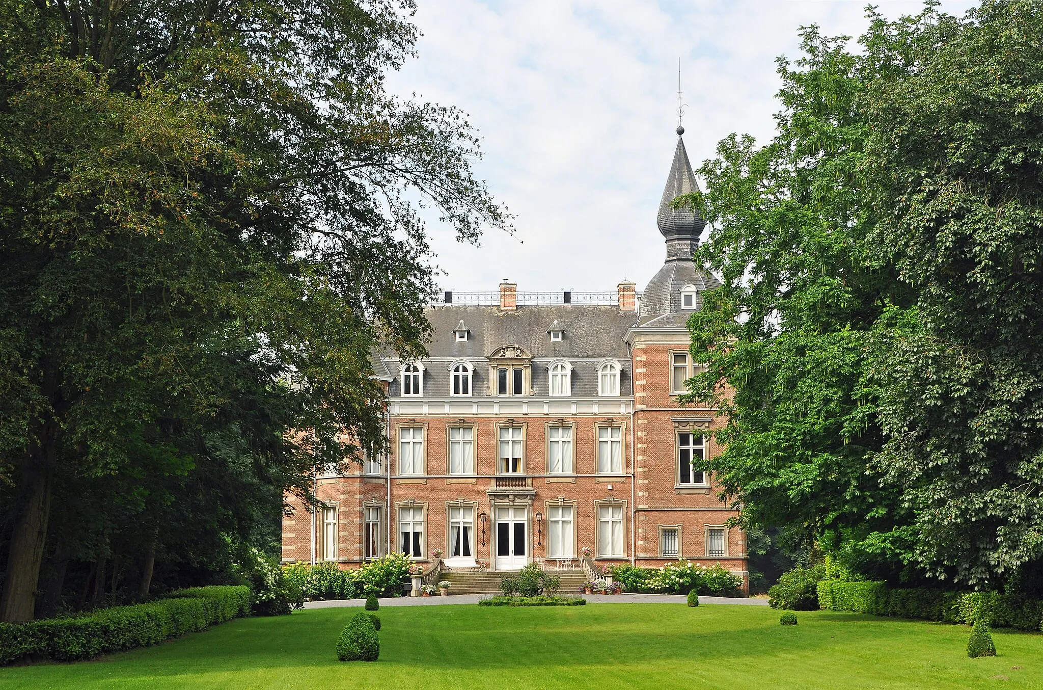
Embark on a 76-kilometer journey from Sint-Andries to Varsenare, with an ascent of 162 meters. This road route offers rolling hills and beautiful countryside scenery. Highlights along the way include Kasteel Ter Loo, Gitsberg, and Bekegem. The route is moderately challenging and is suitable for well-trained amateur cyclists.
road
76 km
162 m
Tough
Route profile
Highlights on the route
0 km
0 km
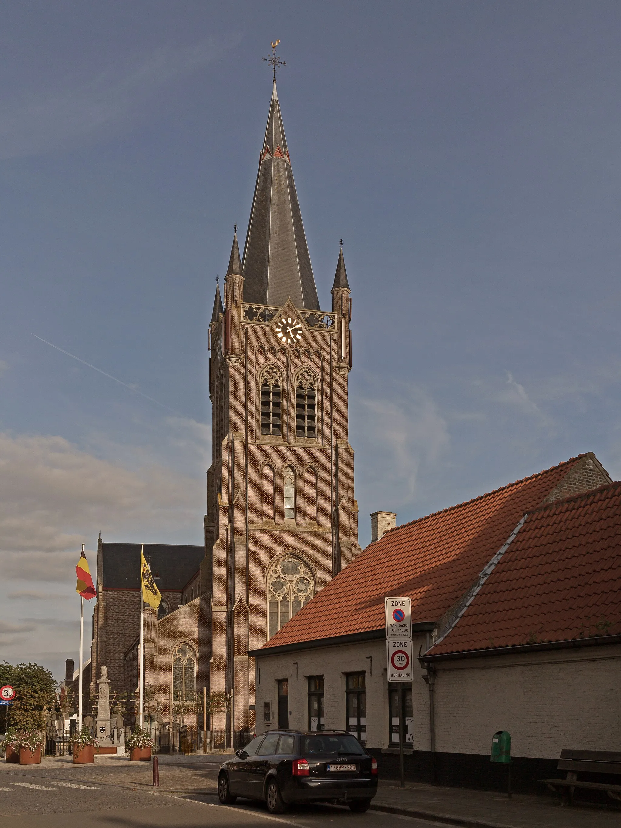
Start: Sint-Andries Village centerSint-Andries: Urban and rural cycling experiences in Sint-Andries.
Sint-Andries, located in Prov. West-Vlaanderen, Belgium, is a suitable locality for road and gravel cyclists. The region offers a mix of urban and rural landscapes, providing opportunities for both city cycling and countryside exploration. Cyclists can ride through Sint-Andries and discover its vibrant city streets, before venturing out into the nearby countryside. With its convenient access to various cycling paths and diverse landscapes, Sint-Andries receives a rank of 3.0 km
0 km
Sint-AndriesVillageSint-Andries - Start your cycling adventure in Sint-Andries.
7 km
7 km
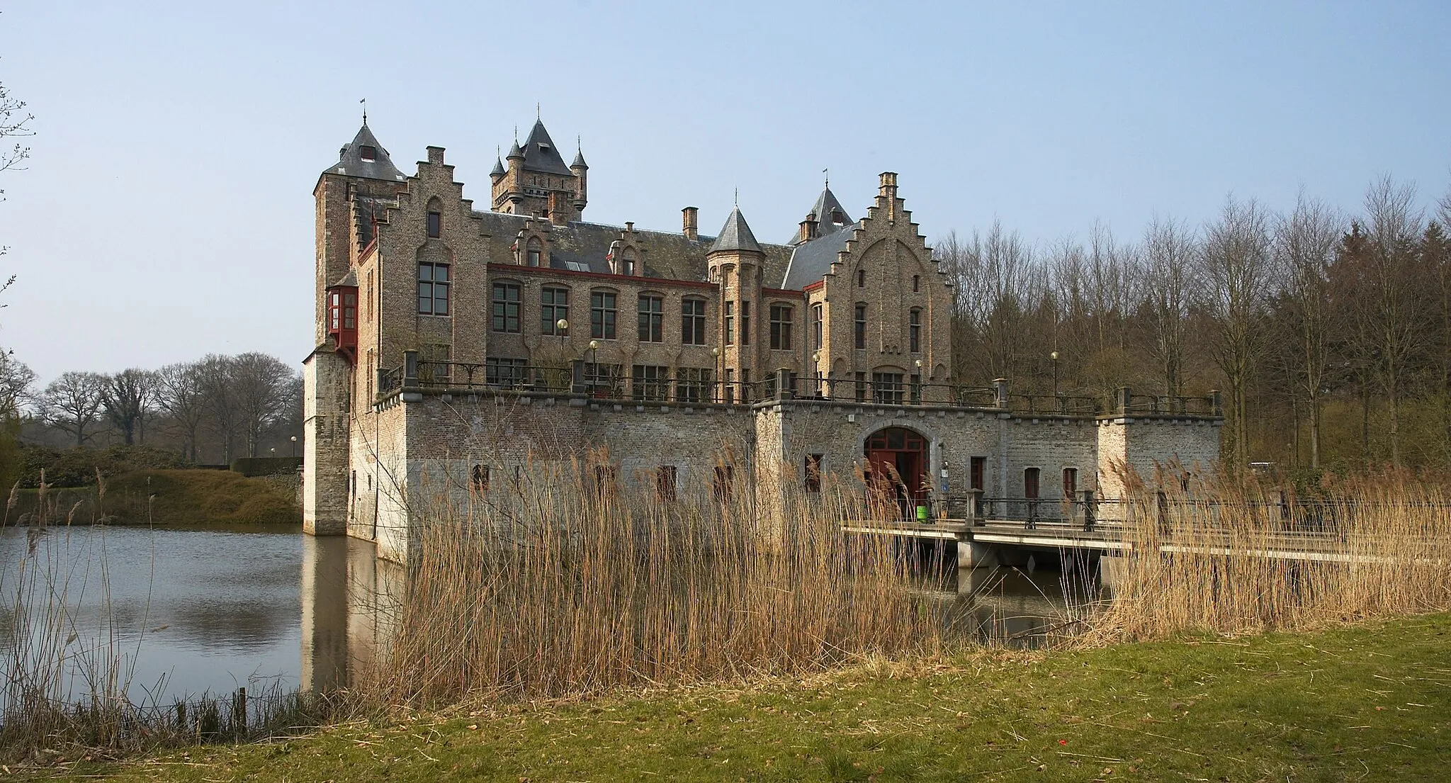
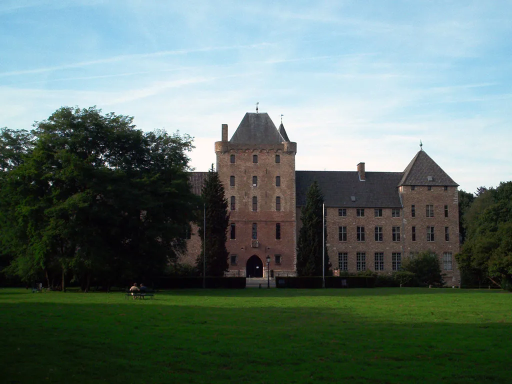
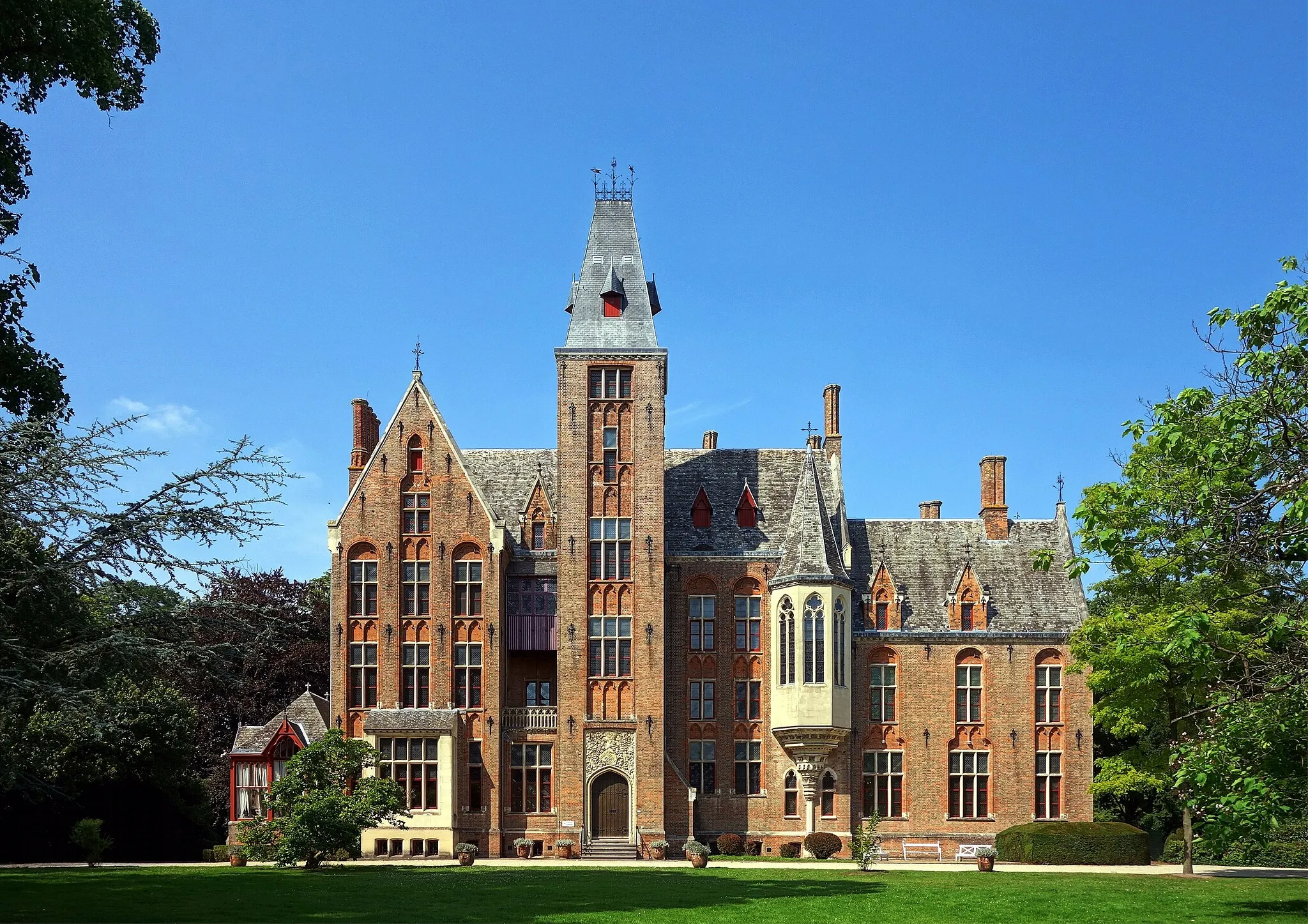
Kasteel Ter LooCastleKasteel Ter Loo - Admire the magnificent Kasteel Ter Loo.
25 km
25 km
LichterveldeVillageLichtervelde - Take a break in the charming town of Lichtervelde.
32 km
32 km
Gitsberg47 mPeakGitsberg - Challenge yourself with a climb up Gitsberg.
51 km
51 km
Ruidenberg45 mPeak ViewpointRuidenberg - Enjoy the scenic views from Ruidenberg.
54 km
54 km
IchtegemVillageIchtegem - Explore the historic village of Ichtegem.
64 km
64 km
BekegemVillageBekegem - Cycle through the peaceful village of Bekegem.
73 km
73 km
VarsenareVillageVarsenare - Finish your route in Varsenare and explore its charming streets.
76 km
76 km
Finish: Sint-Andries Village centerSint-Andries: Urban and rural cycling experiences in Sint-Andries.
Cycling routes nearby: