Etropole Gravel Loop
A gravel cycling route starting from Etropole
Embark on a scenic gravel loop starting from Etropole
Map
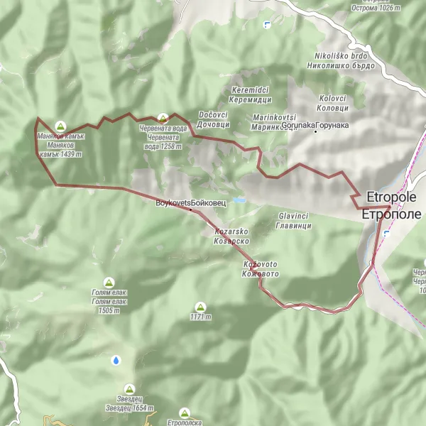
This gravel cycling route offers a challenging and scenic loop starting from Etropole. With a total distance of 33 kilometers and an ascent of 956 meters, this route is suitable for experienced gravel riders. The highlights of the route include the iconic Clock Tower in Etropole and the majestic rock formation known as the Marnikov Stone. Overall, this route provides a thrilling off-road experience for cyclists who enjoy exploring natural landscapes on their gravel bikes.
gravel
33 km
956 m
Tough
Route profile
Highlights on the route
0 km
0 km
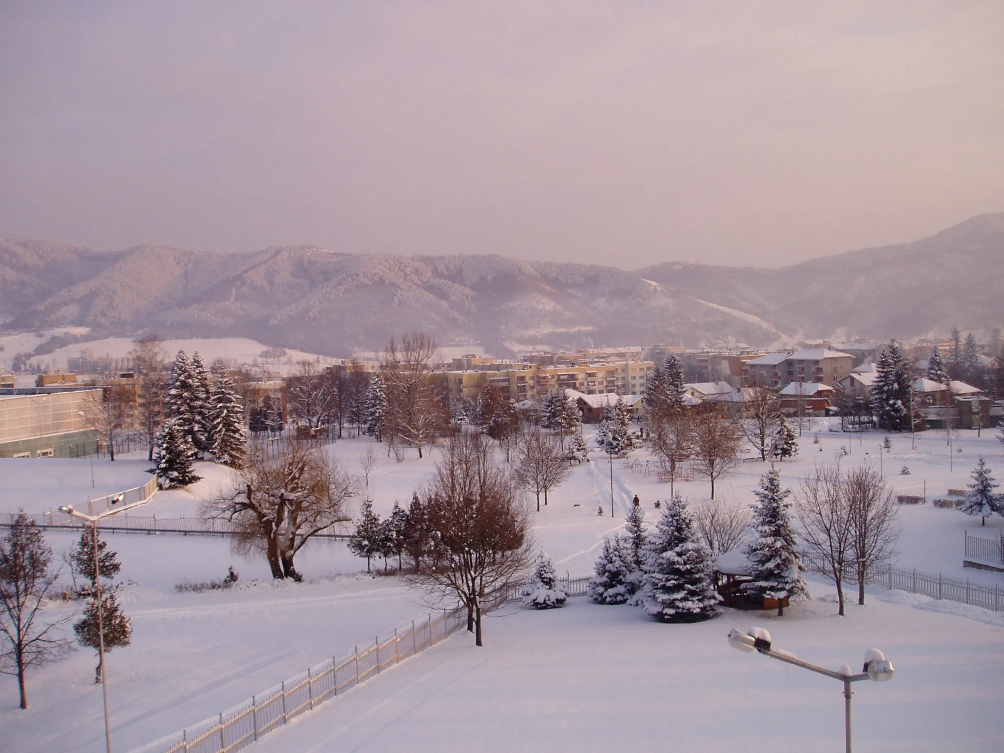
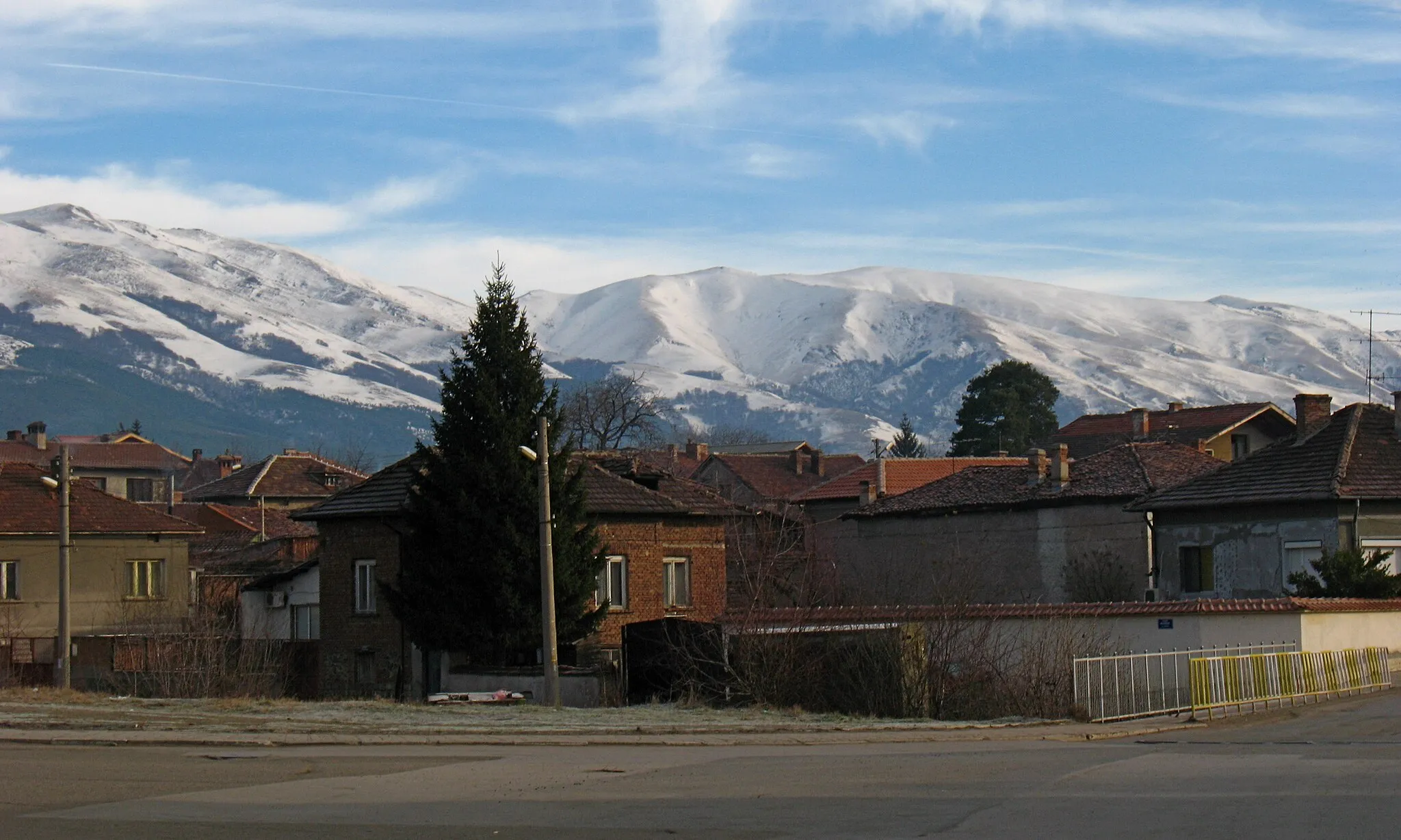
Start: Етрополе City centerEtropole: Exploring picturesque landscapes while cycling in Etropole
Etropole, situated in the Yugozapaden region of Bulgaria, offers favorable conditions for road and gravel cycling. The roads are well-maintained, allowing for smooth riding. Etropole is surrounded by picturesque landscapes, making it a visually appealing area to explore while cycling. Nearby, there are no famous cycling-related spots or well-known climbs, but the locality provides enjoyable routes for cyclists of varying abilities.0 km
0 km
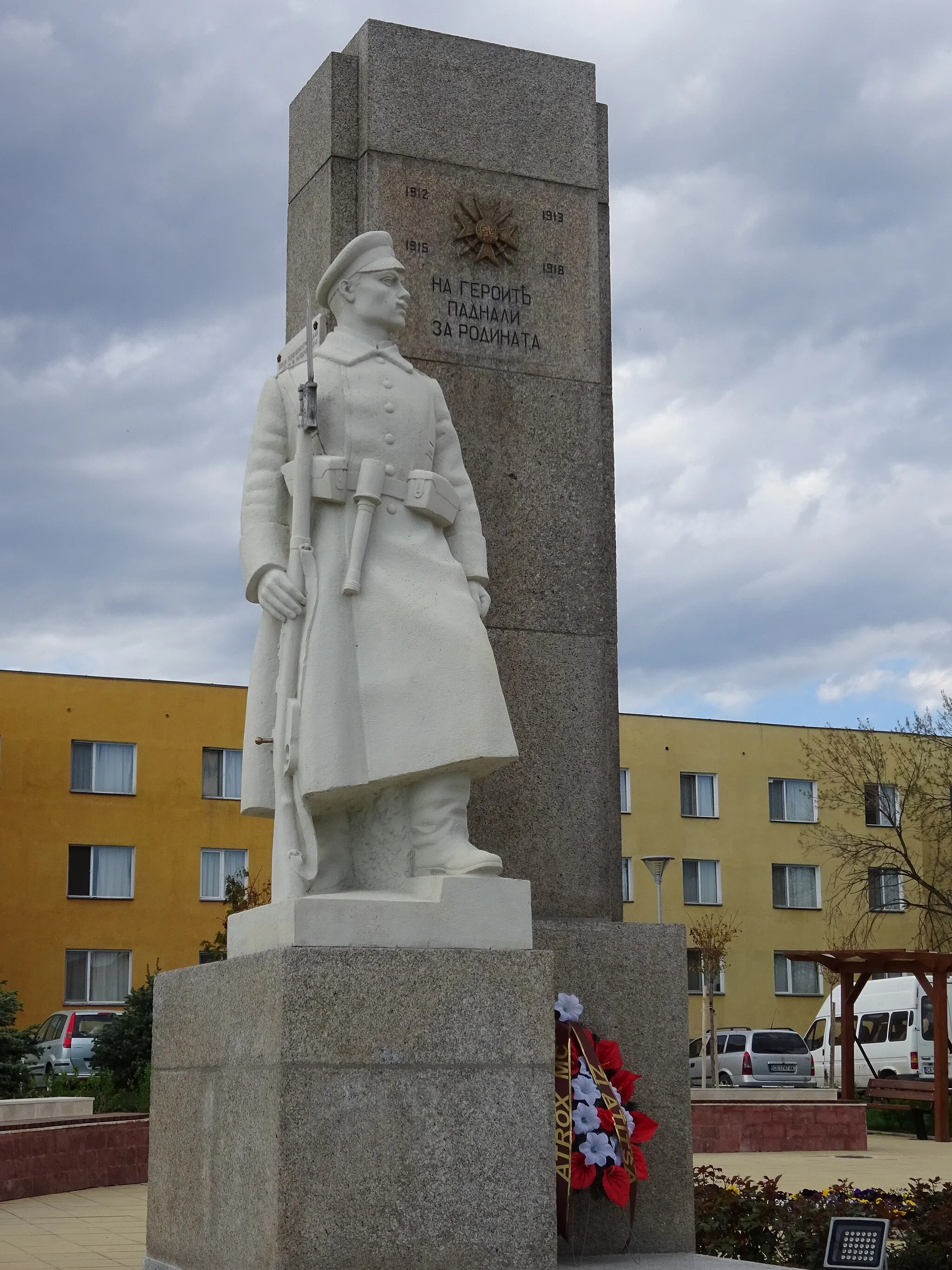
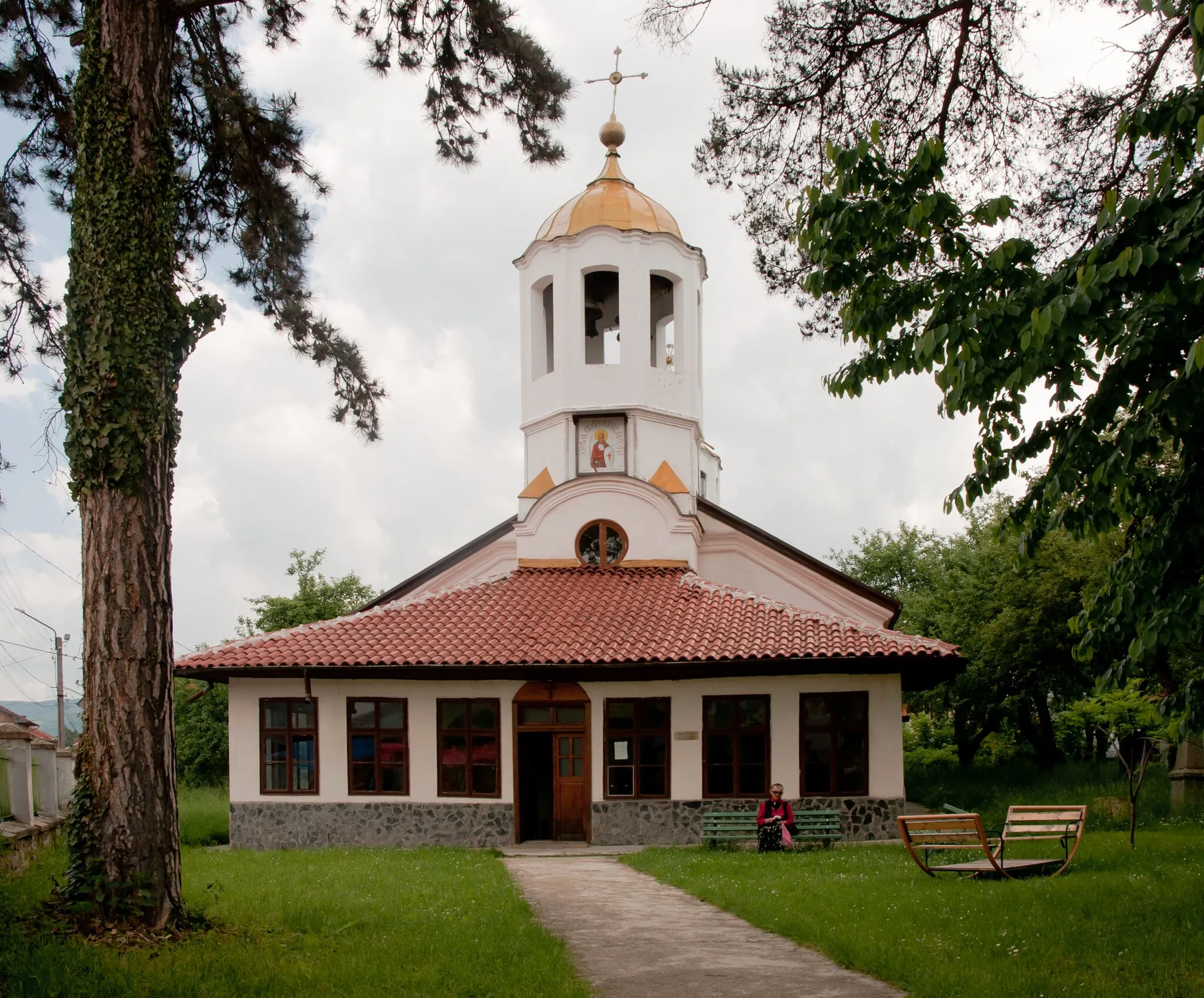
EtropoleTownEtropole is the starting point of the route and offers a picturesque scenery with its Clock Tower marking the beginning of the journey.
1 km
1 km
Свети Атанас905 mPeakSveti Atanas is a beautiful monastery that provides a tranquil setting for cyclists to take a break and explore the religious history of the region.
18 km
18 km
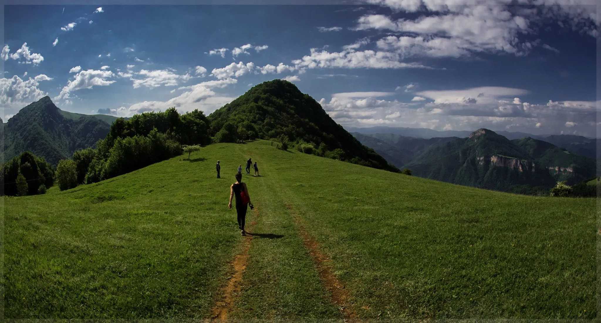
Маняков камък1439 mPeakManyakov Kamak, also known as the Marnikov Stone, is a prominent natural rock formation that offers breathtaking views of the surrounding landscapes.
31 km
31 km
Пъндевица588 mPeakPandevitsa is a small village that serves as a great spot for a rest stop and a closer look at the traditional Bulgarian rural lifestyle.
33 km
33 km
Finish: Етрополе City centerEtropole: Exploring picturesque landscapes while cycling in Etropole
Cycling routes from Etropole:
Etropole Gravel Loop Prafeshki Vrah Adventure Road Route The Gravel Adventure Etropole and Sveti Atanas Gravel Route Etropole to Koprivshtitsa Road Cycling Route Antonski Vodopad Road Route Etropole to Ratitsa Road Cycling Route Beliya Kamak and Cherni Vit Road Route Gusenets and Bailovo Gravel Route Road Cycling Adventure near Etropole Etropole to Plachkovitsa Road Cycling Route Etropole Gravel Adventure
Cycling routes nearby: