Vetrushka Gravel Ride
A gravel cycling route starting from Radomir
Explore the challenging Vetrushka gravel route
Map

The Vetrushka Gravel Ride is a distinctive and unique cycling route near Radomir, Bulgaria. With a distance of 67 kilometers and an ascent of 1294 meters, this route is perfect for gravel enthusiasts. The overall summary of this route is that it offers a challenging and beautiful ride through picturesque landscapes.
gravel
67 km
1294 m
Tough
Route profile
Highlights on the route
0 km
0 km
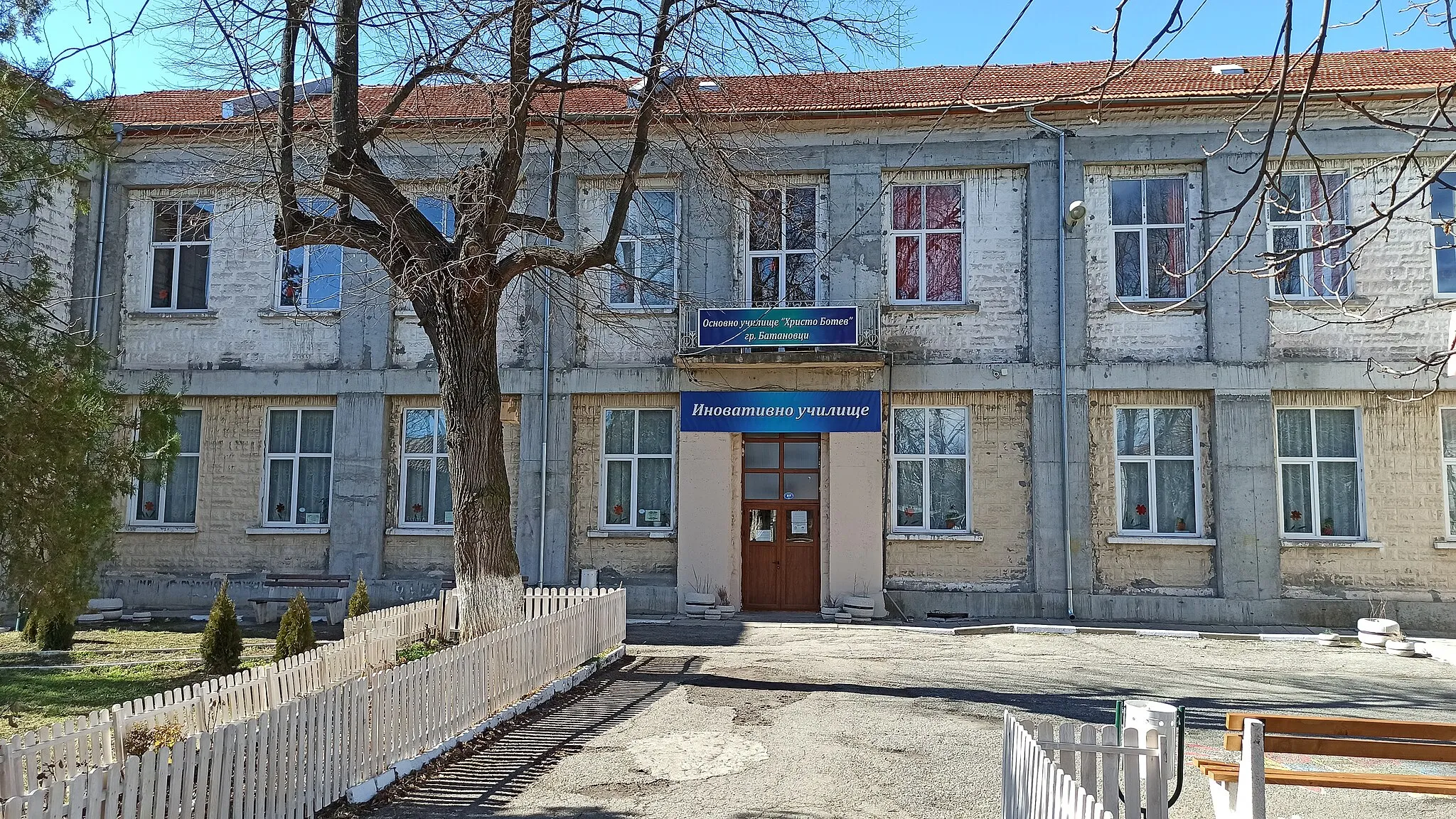
Start: Радомир City centerRadomir: Exploring the scenic routes near Radomir
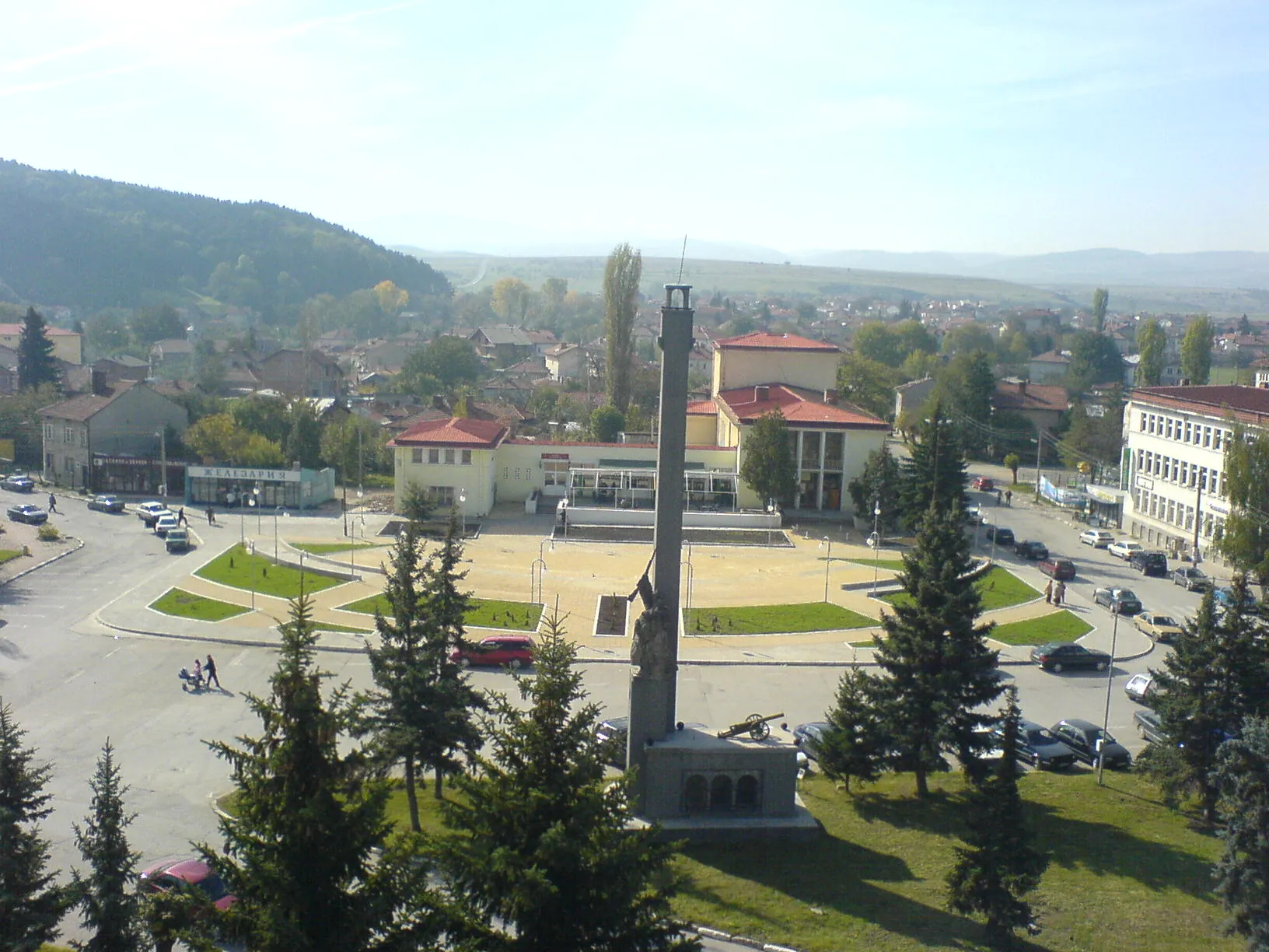
Radomir is a town located in the Yugozapaden region of Bulgaria. The locality offers varied terrain that is suitable for both road and gravel cycling. Cyclists can enjoy smooth roads and scenic routes passing through the charming villages surrounding Radomir. While there are no specifically famous cycling spots in Radomir, the town serves as a great base for exploring the nearby Osogovo mountain, which offers breathtaking views and challenging climbs for avid cyclists. With its pleasant scenery and accessibility to mountainous areas, Radomir is a popular destination for cyclists of all levels.7 km
7 km
Vetrushka1158 mPeakVetrushka, one of the highlights along this route, is located at a distance of 7 kilometers. It offers breathtaking views of the surrounding mountains and is a great place to take a break.
13 km
13 km
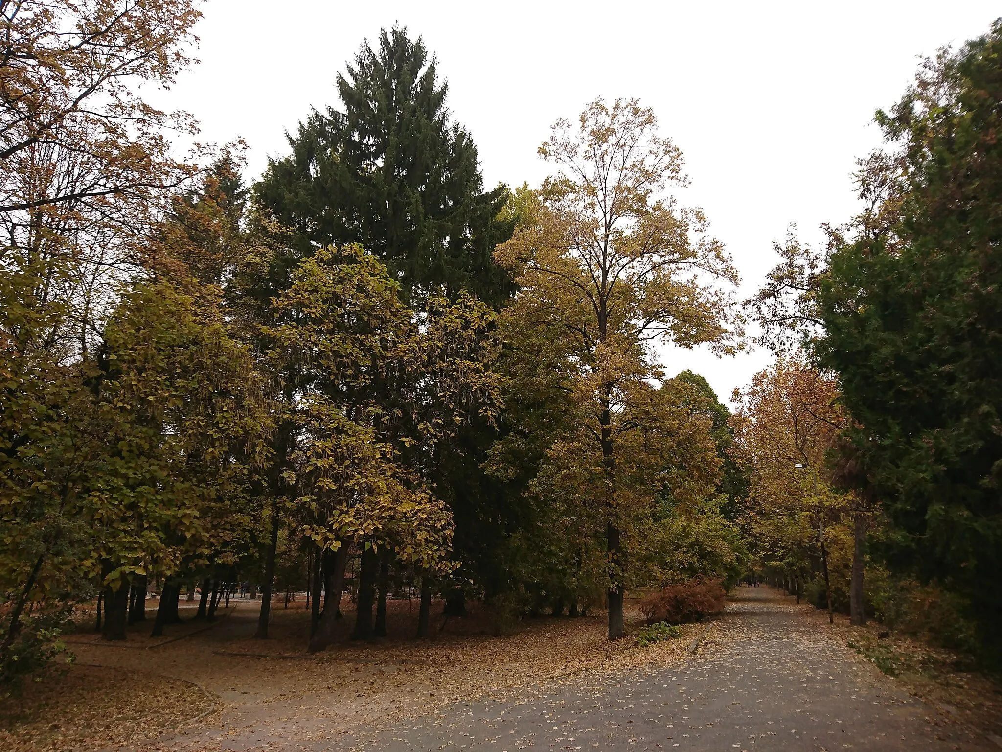
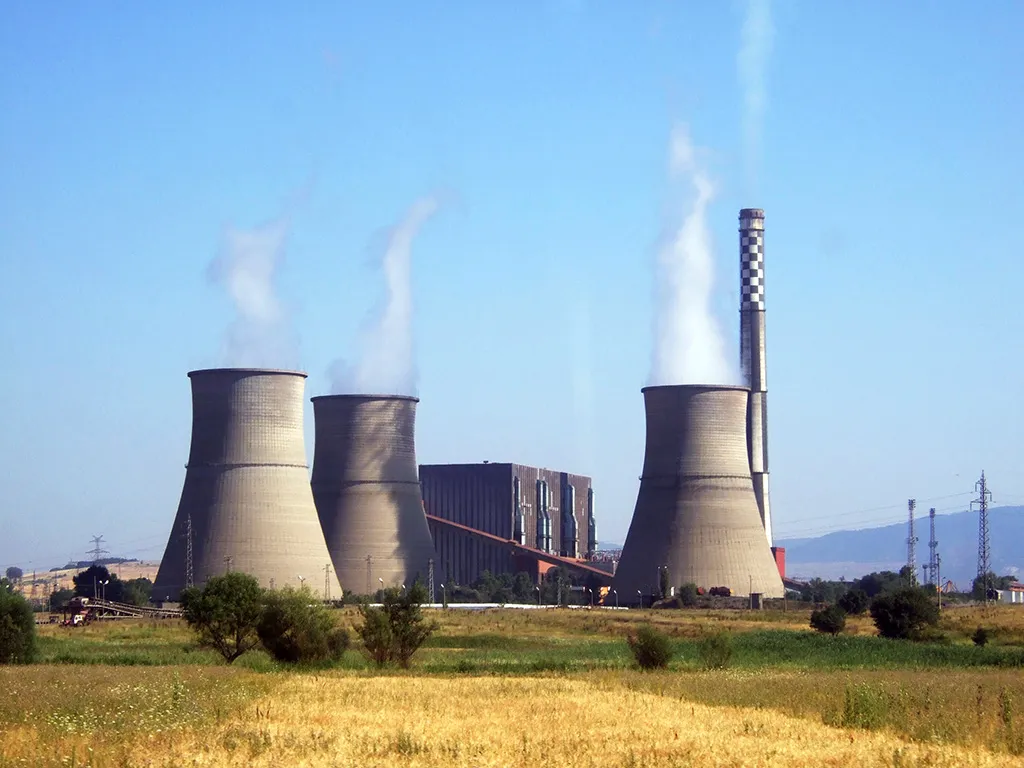
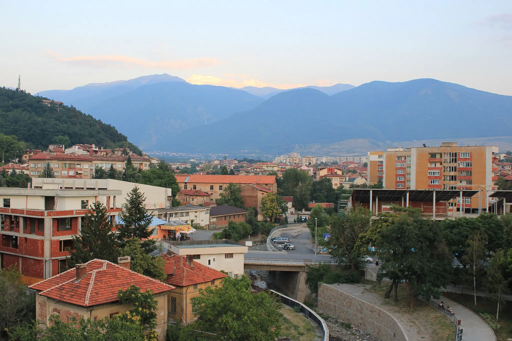
PernikCityPernik, located at a distance of 13 kilometers, is a historic town with interesting architecture and cultural heritage. It is worth exploring if you have some extra time.
26 km
26 km
RudartsiVillageRudartsi, situated at a distance of 26 kilometers, is a beautiful village known for its traditional houses and stunning natural surroundings. It is a must-visit highlight on this route.
38 km
38 km
Круша1177 mPeakКруша, located at a distance of 38 kilometers, is known for its rich history and medieval fortress ruins. It offers a glimpse into the past and is a great spot for history enthusiasts.
41 km
41 km
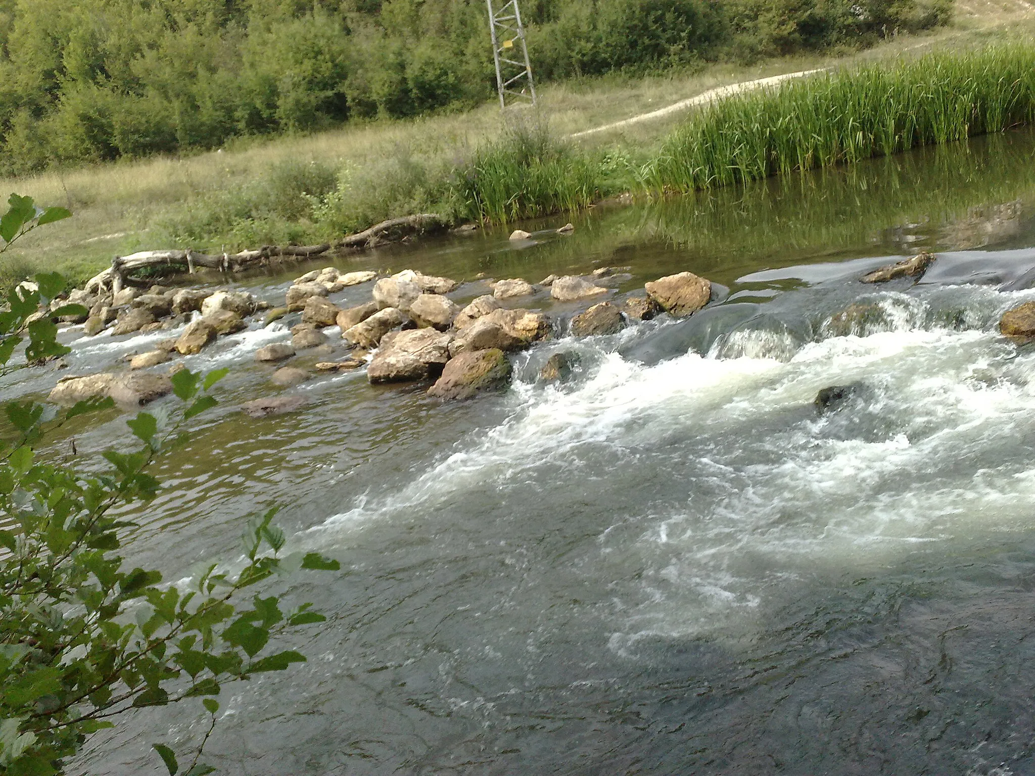
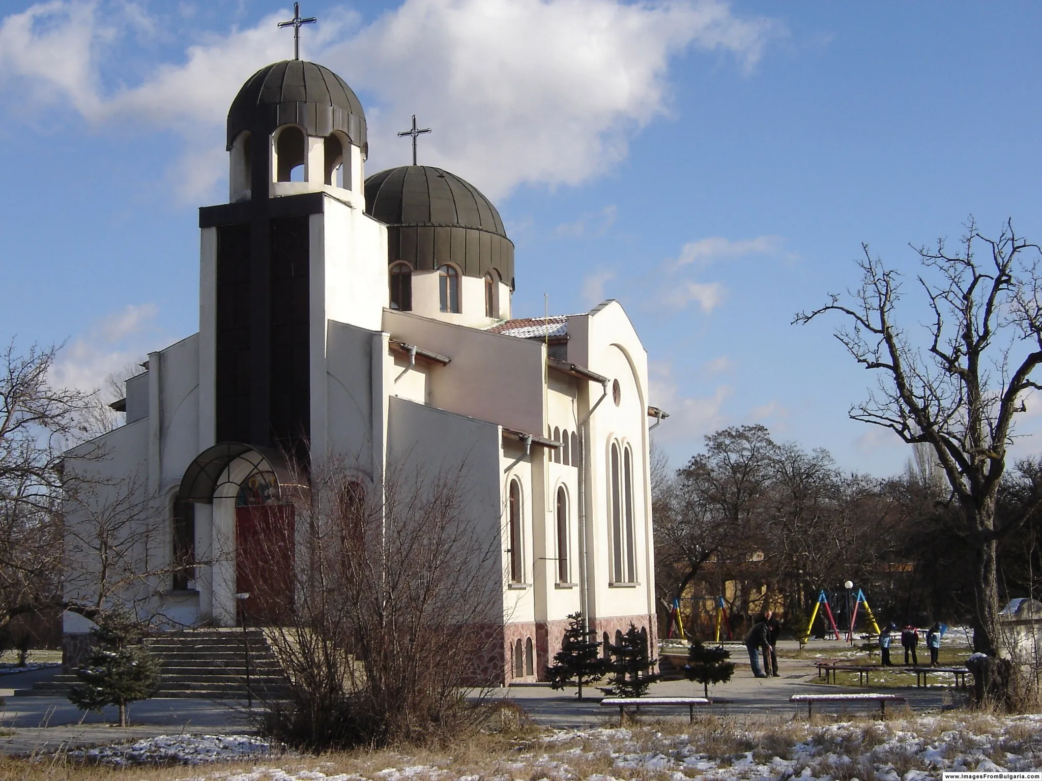
BosnekVillageBosnek, situated at a distance of 41 kilometers, is a small village famous for its impressive church. It is a peaceful and serene place to visit during the ride.
55 km
55 km
DruganVillageDrugan, located at a distance of 55 kilometers, is a quaint village with beautiful natural surroundings. It is worth a stop to enjoy the tranquil atmosphere.
66 km
66 km
ж.к. ГърляницаSub-urbж.к. Гърляница is a highlight located at a distance of 66 kilometers. It offers a unique cultural experience and scenic views that are worth appreciating.
67 km
67 km
Finish: Радомир City centerRadomir: Exploring the scenic routes near Radomir
Cycling routes nearby: