Indulge in leisurely cycling through the peaceful rural landscapes of Bošnjaci.
Cycling routes from Bosnjaci
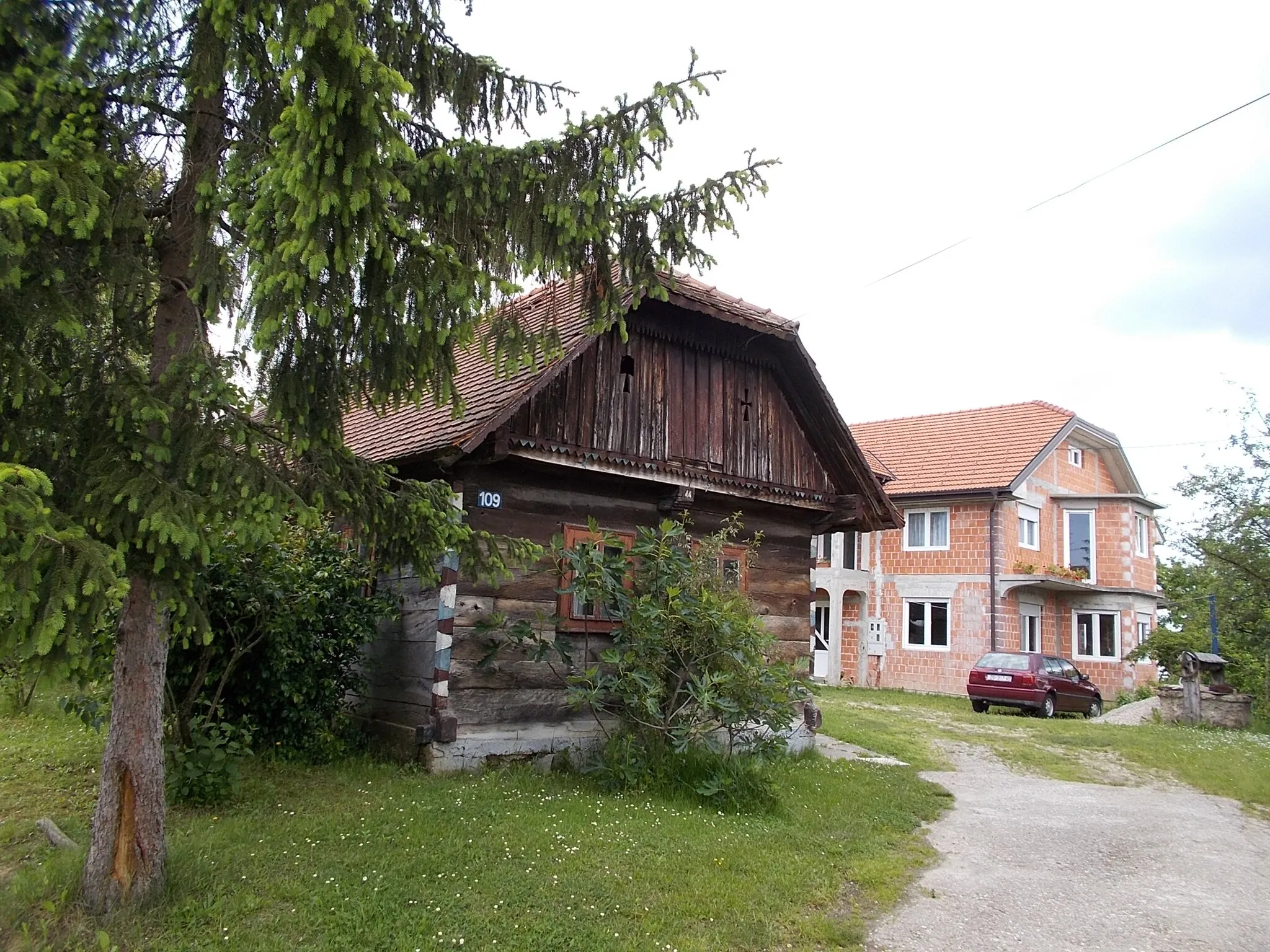
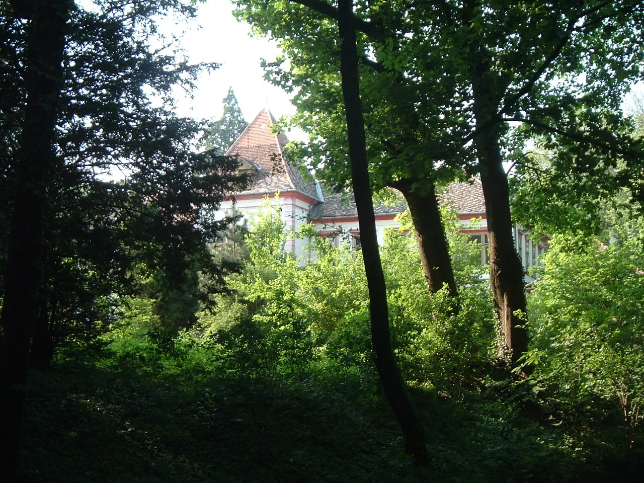
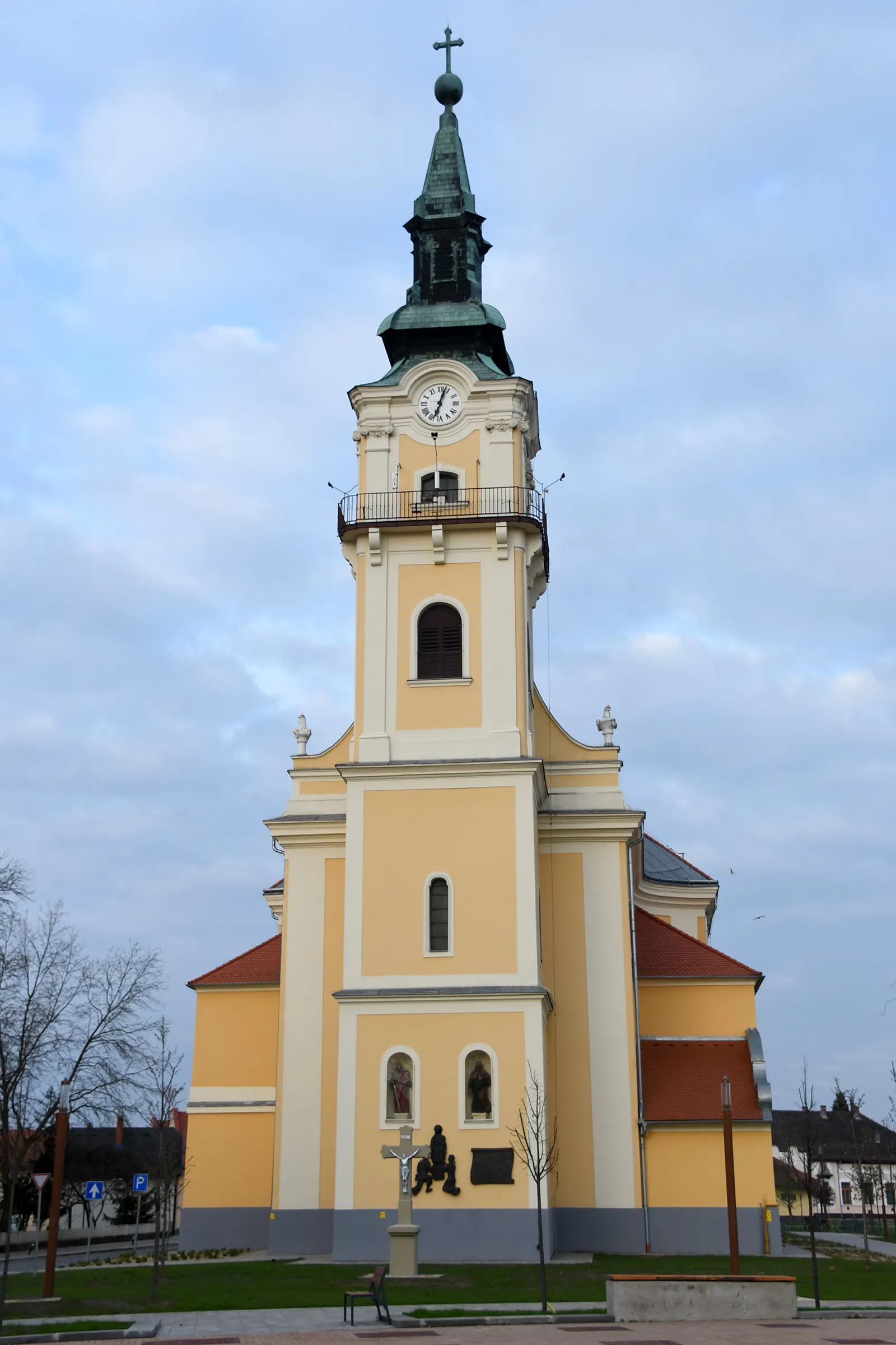
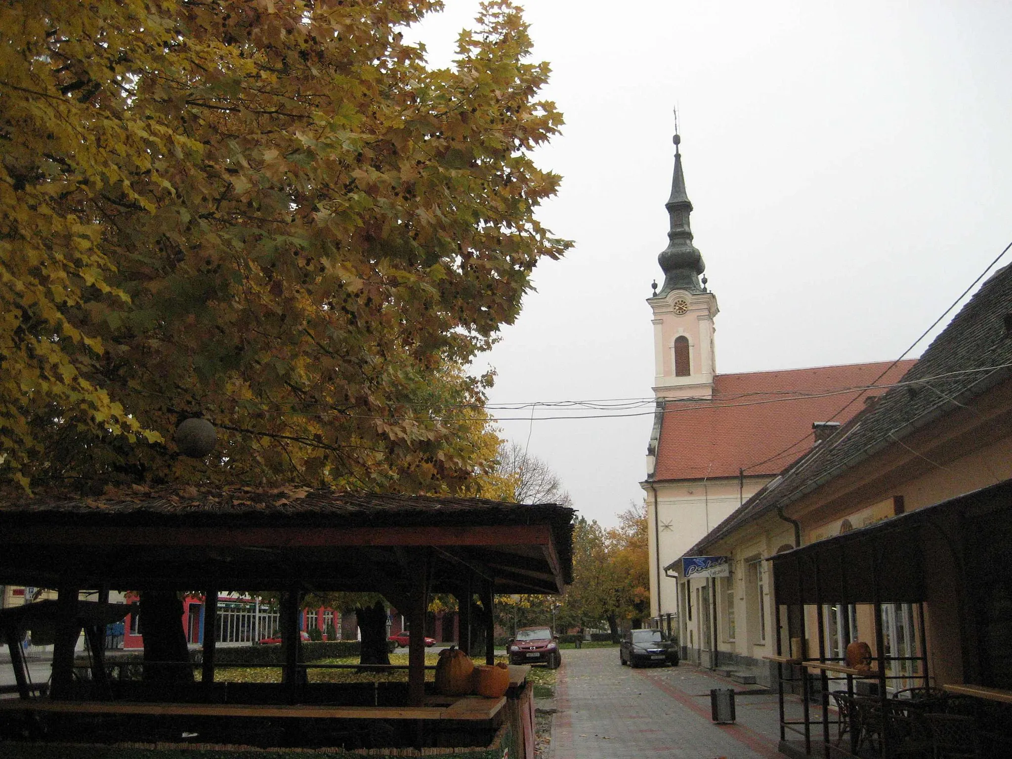
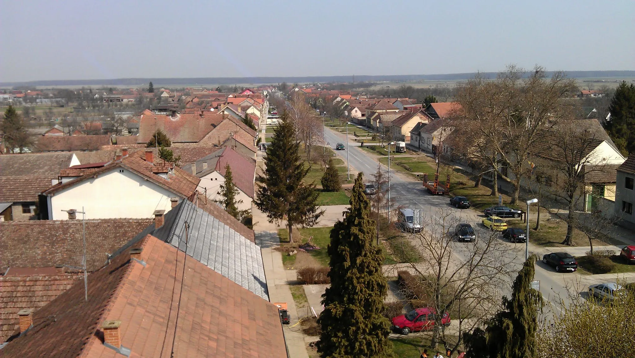
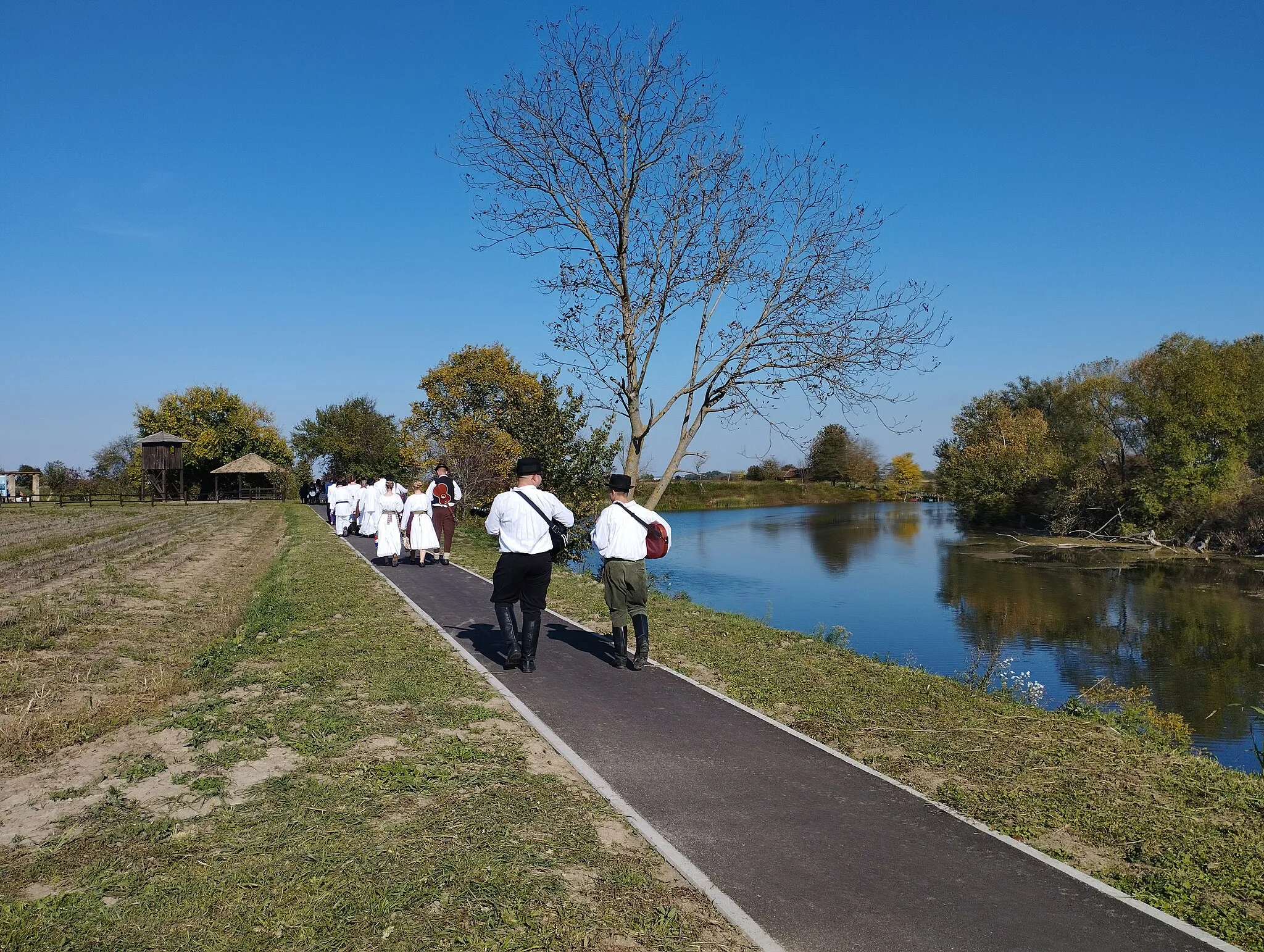
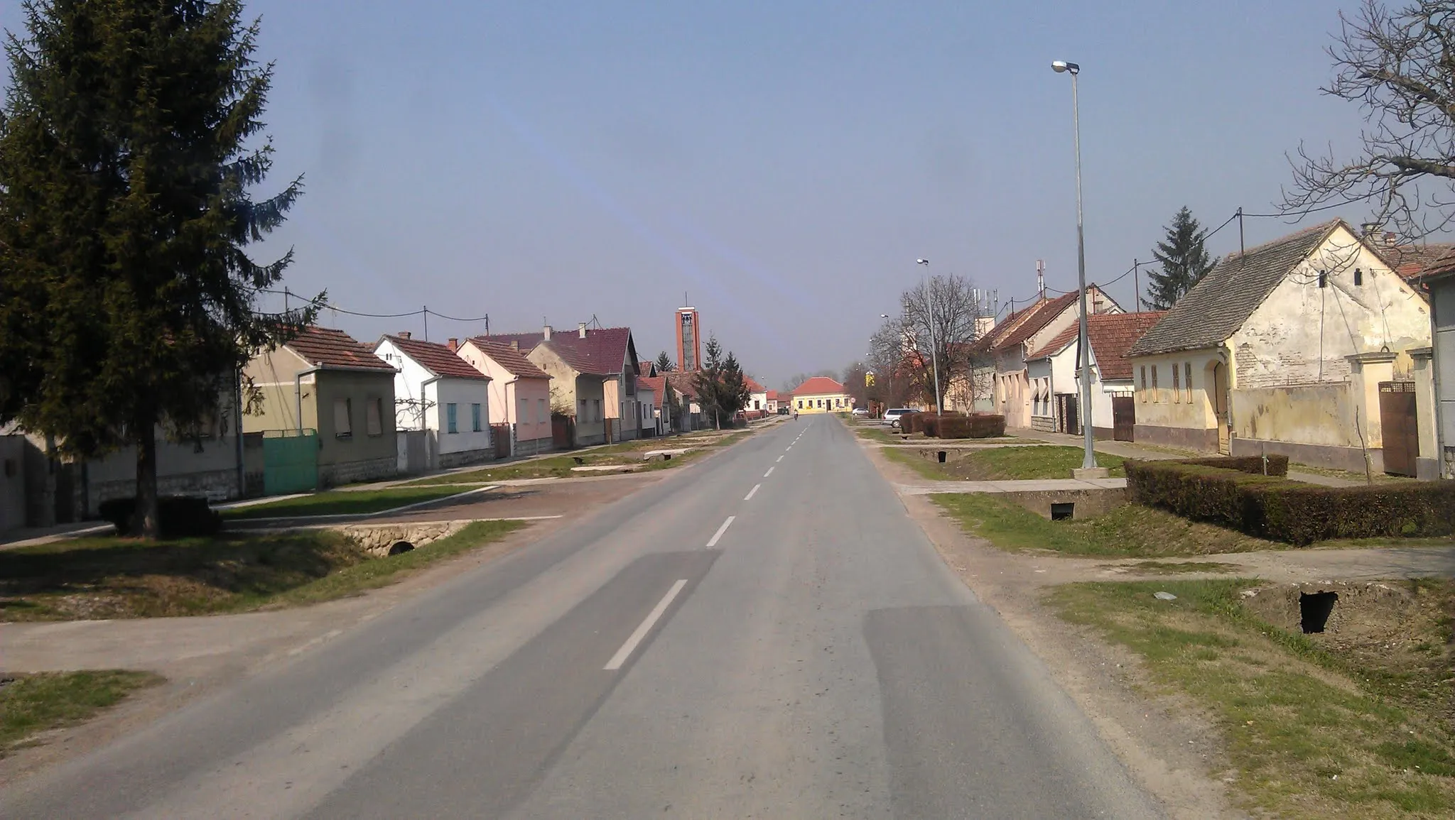
Bošnjaci is situated in the Panonska Hrvatska region of Croatia. Cyclists can expect scenic countryside routes showcasing rural landscapes and charming villages. The flat terrain makes it ideal for leisurely rides and beginners, but may not appeal to those seeking challenging climbs. Bošnjaci offers a serene and quiet environment for cyclists looking to explore the Croatian countryside at a relaxed pace.
Enjoy a scenic journey on the roadways to Bošnjaci
Experience the beauty of Panonska Hrvatska on this scenic road cycling route. Spanning 55 km with a minimal ascent of 9 m, this route offers a relaxing and picturesque journey through the region. Suitable for all levels of cyclists, the route provides beautiful scenery and an opportunity to discover charming villages along the way. With a difficulty level of 1, it is ideal for beginner cyclists or those looking for a leisurely ride.
The Gravel Adventure
An exhilarating gravel cycling route through picturesque natural landscapes
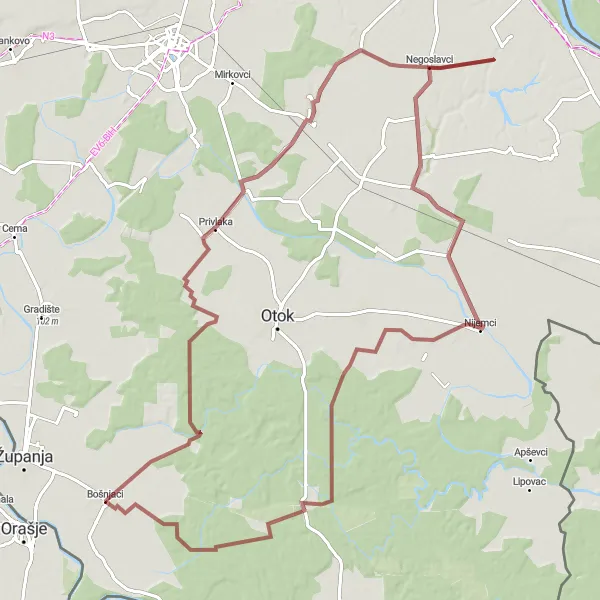
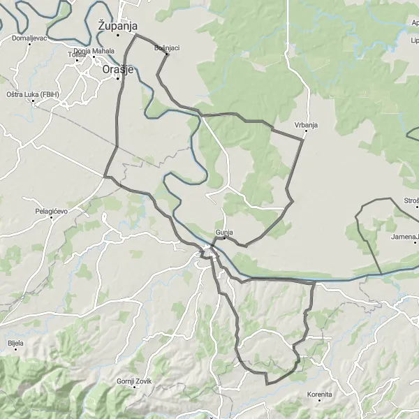
Embark on this thrilling gravel cycling route with a total distance of 103 kilometers and an ascent of 126 meters. Perfect for gravel biking enthusiasts, this scenic route takes you through Virgrad, Novi Jankovci, Orolik, Nijemci, and finally back to the starting point in Bošnjaci. Prepare to be captivated by the beautiful natural scenery and rugged landscapes along the way.
The Panonian Route

Challenging road cycling route with stunning panoramic views of the Panonian landscape
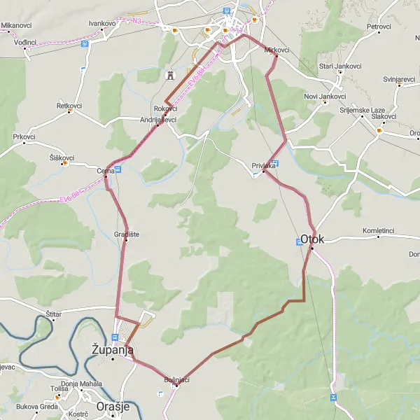
This distinct route takes you through the beautiful Panonian Hrvatska region, offering breathtaking panoramic views of the vast plains. With a total distance of 155 kilometers and an ascent of 359 meters, this challenging road cycling route is perfect for well-trained amateurs seeking a memorable adventure. As you ride through the peaceful countryside, you'll pass through Grebnice (FBiH), Kruševica, Retkovci, Cerna, and finally reach the starting point in Bošnjaci, the heart of the route.

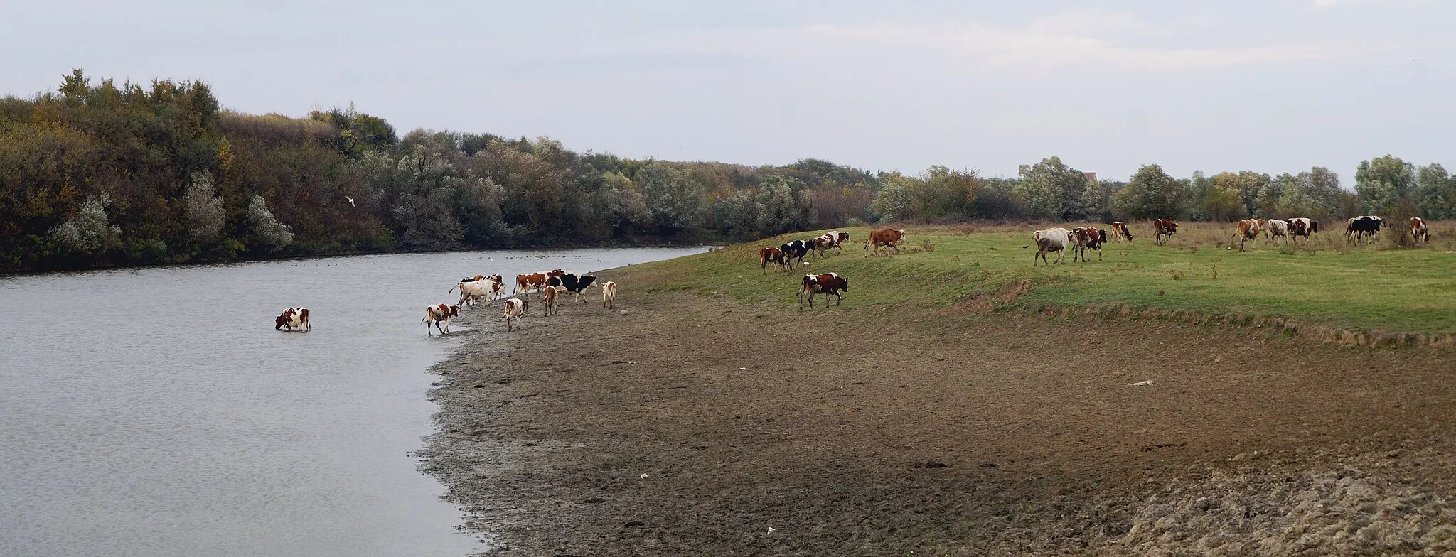
Cycle along the picturesque riverside scenery on this delightful road route
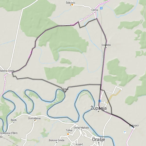
Experience the gentle beauty of the riverside landscapes on this delightful road cycling route. With a total distance of 66 kilometers and an ascent of 51 meters, this route takes you through Županja, Cerna, Retkovci, Andrijaševci, and back to Bošnjaci. Enjoy the tranquility and serenity of the riverside, as you pass charming towns and admire the natural wonders along the way.
Discover the hidden gems of Panonska Hrvatska on this gravel cycling route
This hidden gems gravel cycling route takes you through the lesser-explored regions of Panonska Hrvatska in Croatia. Spanning 65 km with a moderate ascent of 100 m, this route provides a mixture of scenic nature trails and quaint villages. With a difficulty level of 3, it is suitable for well-trained amateurs looking to challenge themselves while enjoying the beauty of the surroundings. The true charm lies in getting off the beaten path and discovering local gems along the way, enriching your cycling experience.
Embark on an unforgettable cycling adventure along scenic gravel paths
This gravel cycling route near Bošnjaci offers an immersive cycling experience through picturesque gravel paths. Spanning 72 km with a moderate ascent of 45 m, the route takes you through stunning natural landscapes, charming villages, crossroads, and untouched trails. With a difficulty level of 2, it is suitable for cyclists of moderate fitness levels who are eager to explore the beauty of Panonska Hrvatska. The epicness of this route is enhanced by its unique surroundings and varied terrain, making it a memorable adventure for gravel cycling enthusiasts.
A scenic loop through the Panonska Hrvatska region in Croatia
This round-trip cycling route takes you through the beautiful Panonska Hrvatska region in Croatia, offering stunning views of the countryside and a chance to explore charming villages along the way. The route has a moderate difficulty level, suitable for well-trained amateurs. With a picturesque landscape and relatively flat terrain, it provides a pleasant cycling experience for riders of all levels of experience. The total distance of the route is 111 km, with a total ascent of 241 m, making it accessible for most cyclists.
Explore the scenic beauty of the Panonian region on this picturesque gravel loop
Discover the enchanting beauty of the Panonian Hrvatska region on this picturesque gravel cycling route. With a distance of 72 kilometers and an ascent of 79 meters, this route is suitable for both experienced cyclists and beginners. Enjoy the peacefulness of Virgrad, cycle through Soljani, and soak in the natural charm of Bošnjaci as you complete this scenic loop.
Gravel Pathways to Bošnjaci
Embark on an off-road adventure through scenic gravel pathways
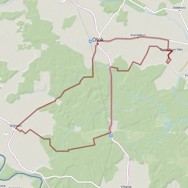
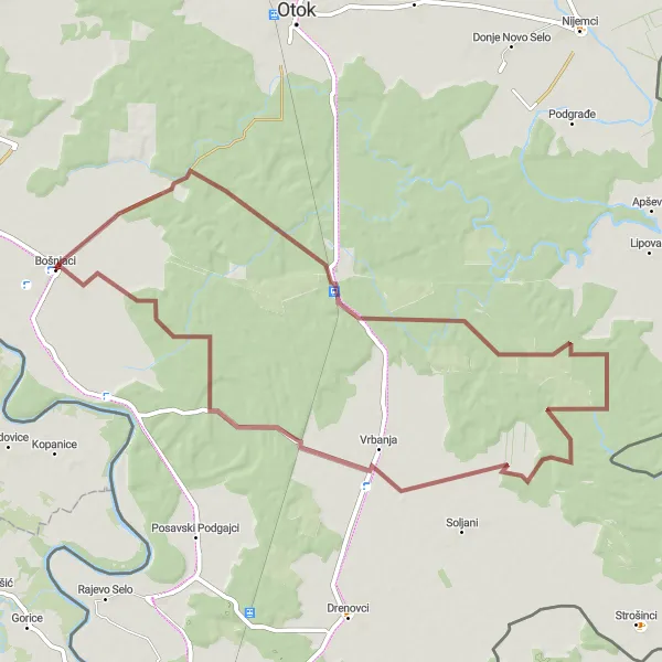
For those seeking an off-road adventure, this gravel cycling route is the perfect choice. Starting near Bošnjaci in Panonska Hrvatska, the route spans 66 km with a moderate ascent of 87 m. The scenic gravel pathways will take you through diverse natural landscapes, including forests and fields, offering a unique cycling experience. With a difficulty level of 3, this route is suitable for well-trained amateurs looking to explore beautiful countryside trails. Attractiveness of the touristic scenery is highly rated, making it enjoyable for nature lovers.
The Historic Road Tour

Embark on a historic journey through captivating landscapes and cultural landmarks
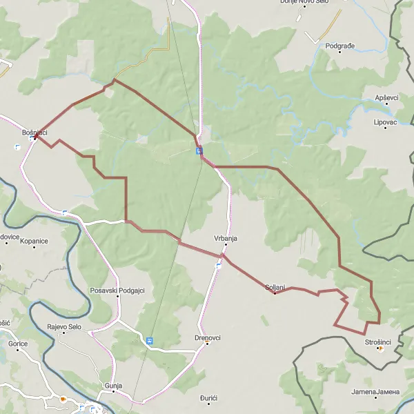
Take a fascinating journey through history on this road cycling route. Covering a distance of 100 kilometers and an ascent of 111 meters, this route will lead you through Privlaka, Orolik, Otok, Vrbanja, and back to Bošnjaci. Immerse yourself in the rich cultural heritage and natural wonders of the region as you explore the enchanting towns and landmarks along the way.
Cycling routes nearby:


Nearby regions: