Tranquil rides amidst enchanting landscapes
Cycling routes from Gunja
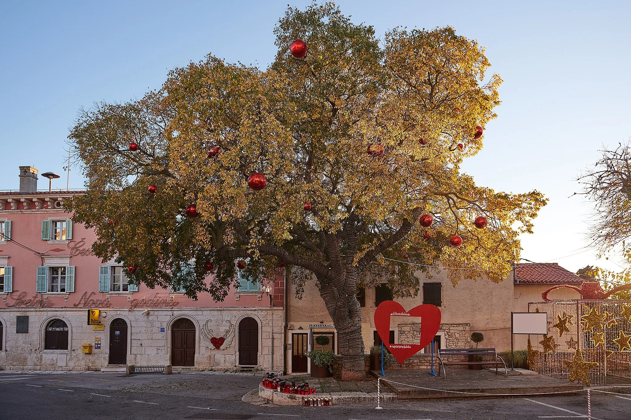
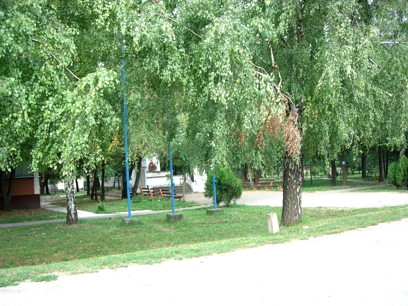
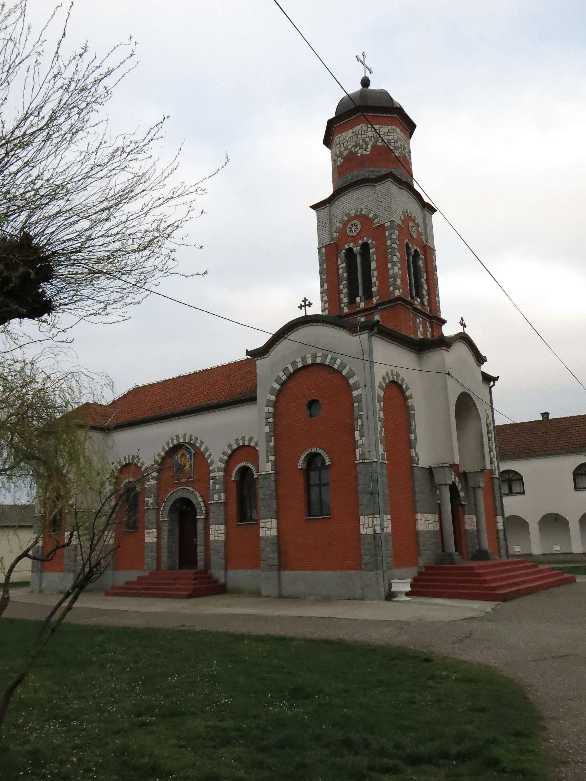
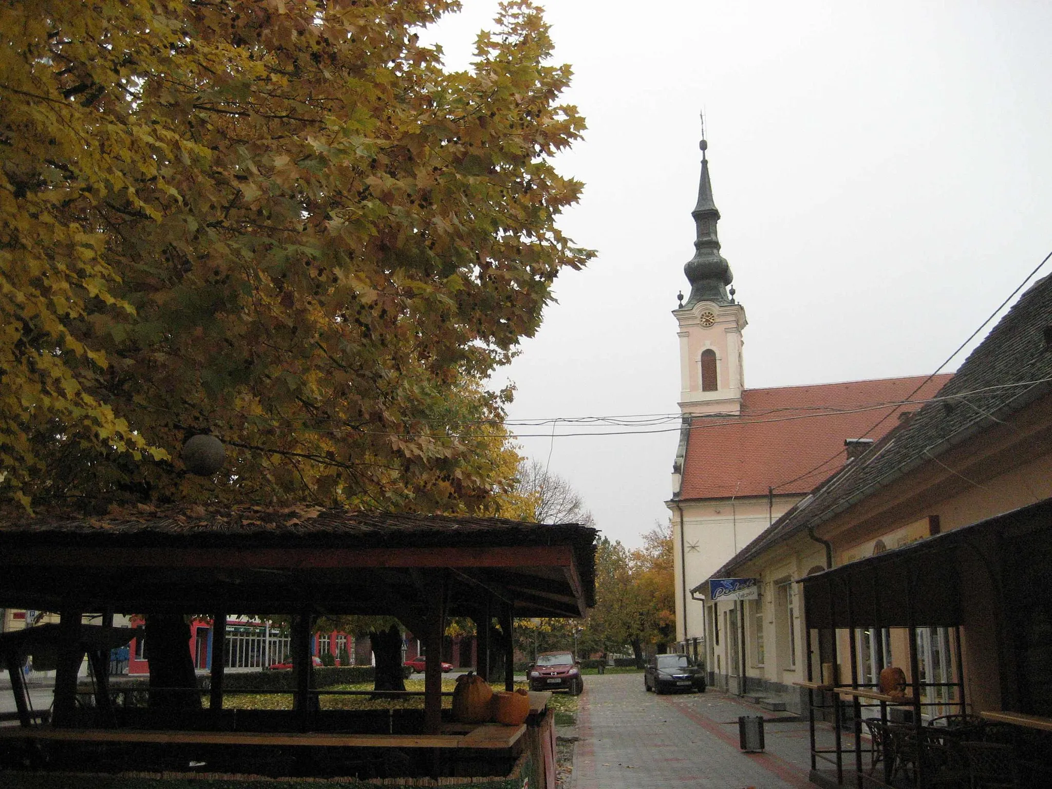
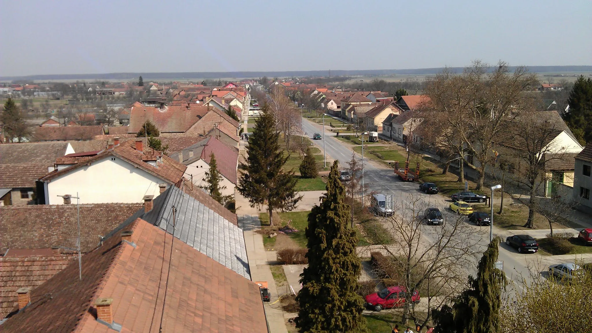
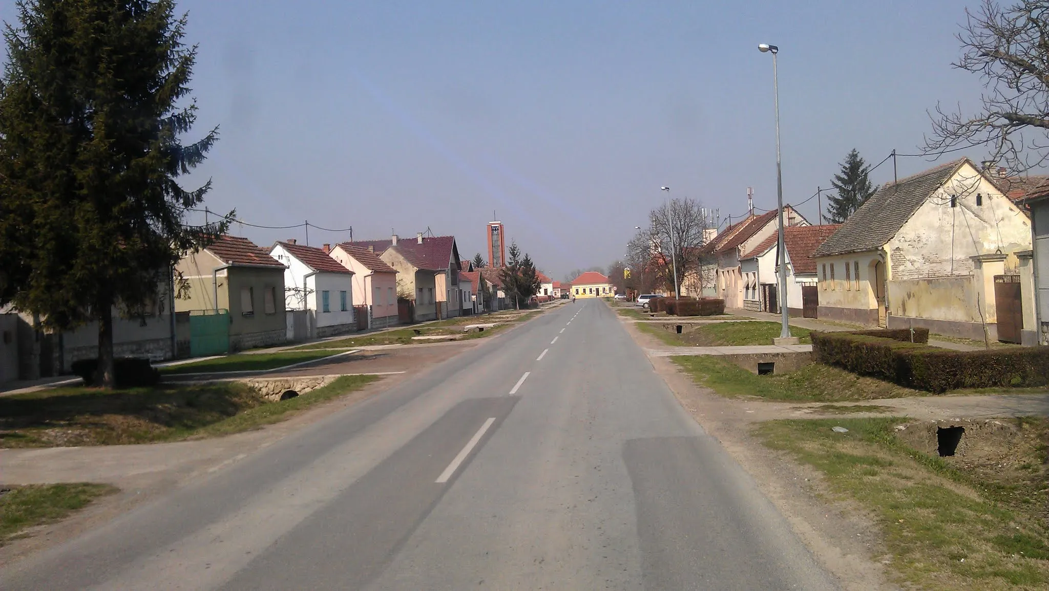
Gunja, situated in Panonska Hrvatska, Croatia, is a hidden gem for road and gravel cyclists. The locality offers a mix of flat trails and rolling countryside, making it suitable for riders of all abilities. Cyclists can enjoy stunning panoramic views as they pedal past vineyards and fields of sunflowers. Gunja is also in close proximity to the Drava River, offering opportunities for scenic rides along its picturesque banks. With its tranquil atmosphere and charming landscapes, Gunja is a delightful destination for cycling tourists.
Embark on an adventurous road cycling route through Grebnice and Krepšić
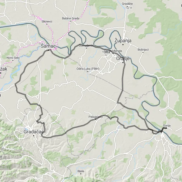
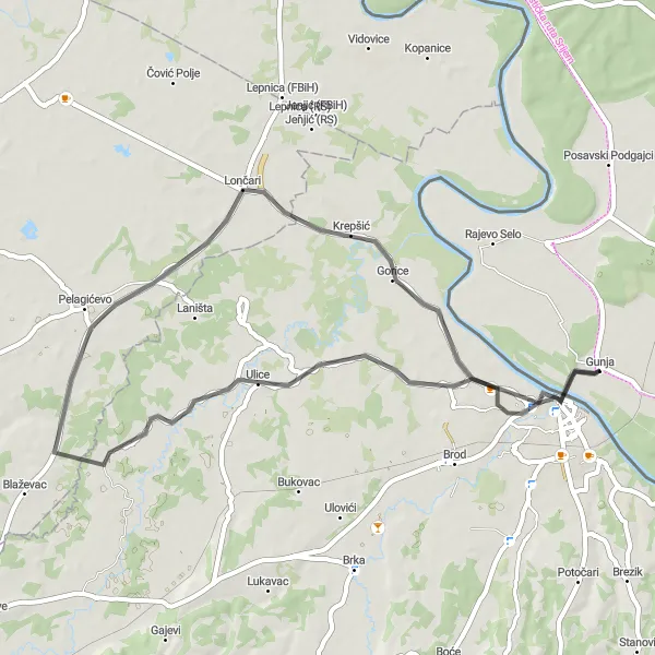
This road cycling route takes you from Gunja to Grebnice (RS), Krepšić, Brčko, and back to Gunja. It offers a total ascent of 245m, covering a distance of 117km. The route is suitable for experienced bikers looking for a challenging ride with scenic landscapes.
The Panonska Hrvatska Challenge
Conquer the flatlands of Panonska Hrvatska
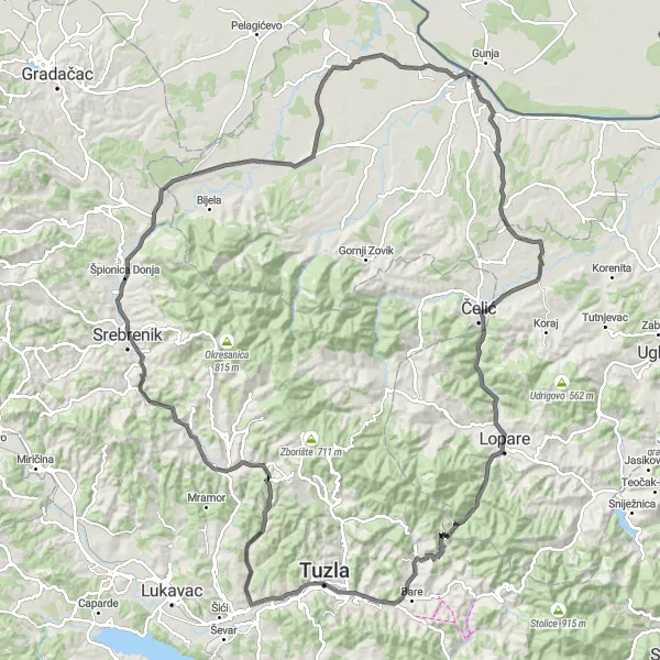
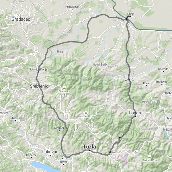
Embark on a challenging cycling journey through the picturesque region of Panonska Hrvatska. This route offers a diverse blend of landscapes, from rolling countryside to charming villages, making it a perfect choice for all cycling enthusiasts. With a total ascent of 1023m and a distance of 140km, this route promises a thrilling and rewarding adventure. Whether you prefer road biking or gravel trails, the Panonska Hrvatska Challenge is an excellent opportunity to explore the hidden gems of Croatia's cycling paradise.
The Panonian Expedition
Embark on an exciting cycling adventure through Panonska Hrvatska
Get ready to experience the true essence of Panonska Hrvatska with the Panonian Expedition. This thrilling cycling route encompasses a total ascent of 986m and covers a distance of 137km. Explore the scenic beauty of the region as you pedal your way through charming villages, captivating landscapes, and historic sites. Whether you're a road cyclist or a gravel trail enthusiast, this route offers something for everyone. From Pirkovci to Dubrave, each highlight along the way adds a unique flavor to this unforgettable journey.
Embark on a scenic road cycling route near Gunja and explore the charming towns of Krepšić and Brčko
Experience the stunning landscapes and rich cultural heritage of Panonska Hrvatska on this road cycling adventure. The route starts near the idyllic town of Gunja and takes you through picturesque villages and countryside. You'll have the opportunity to visit the quaint town of Krepšić, known for its traditional architecture and friendly locals. Continue your journey to Brčko, a historic city with a vibrant atmosphere and fascinating landmarks. This cycling tour offers a perfect combination of nature, culture, and adventure.
Experience the tranquil rural charm of Panonska Hrvatska
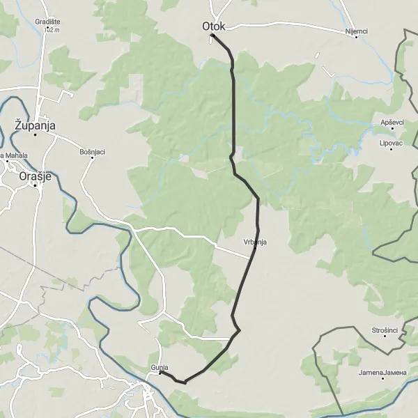
Escape to the peaceful countryside of Panonska Hrvatska with the Rural Retreat cycling route. This scenic journey covers a total distance of 72km and features a gentle ascent of 72m. Immerse yourself in the serenity of nature as you ride through idyllic landscapes and picturesque villages. With highlights such as Drenovci, Vrbanja, and Otok, this route perfectly showcases the region's authentic rural beauty. Whether you're seeking a peaceful getaway or a rejuvenating cycling experience, the Rural Retreat is an ideal choice for cyclists of all levels.
Cycle through the scenic countryside of Posavski Podgajci, Bošnjaci, and Drenovci
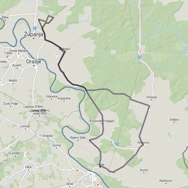
This road cycling route starting from Gunja takes you through the picturesque countryside, including Posavski Podgajci, Bošnjaci, Vrbanja, and Drenovci. The route covers a distance of 76km with a moderate ascent of 35m. It is suitable for bikers of all levels.
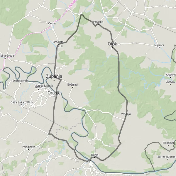
Discover the stunning landscapes and cultural sights of Županja, Privlaka, and Drenovci
This road cycling route starting from Gunja takes you through the captivating countryside, including Županja, Privlaka, Otok, Vrbanja, and Drenovci. The route covers a distance of 100km with an ascent of 109m. It is suitable for intermediate-level bikers looking for a scenic adventure.
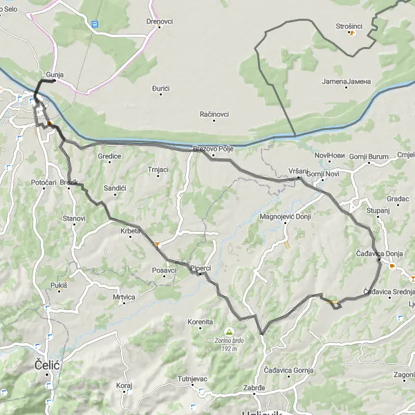
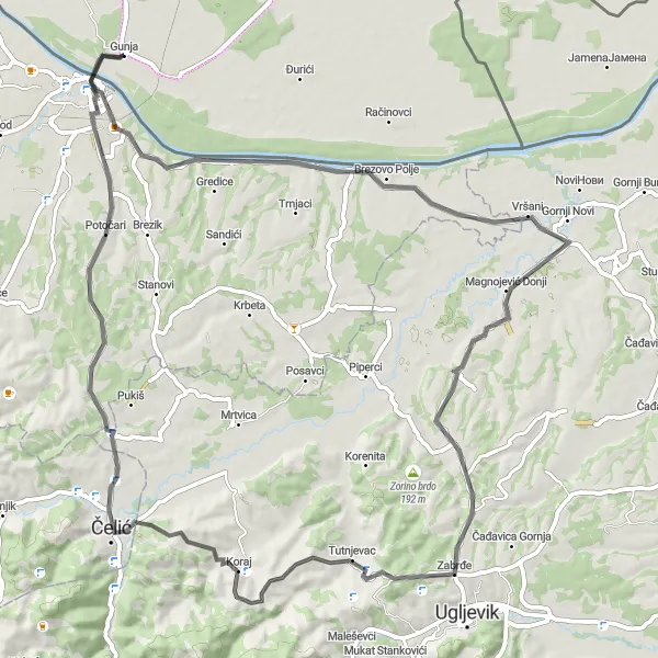
Take on the gravel roads near Gunja and conquer the challenging terrains of Brčko, Ražljevo, and Dragaljevac Gornji
Get ready for an adrenaline-pumping gravel ride near Gunja that will test your cycling skills and push your limits. This route features tough climbs and rugged terrains that will provide a thrilling adventure for experienced cyclists. Start your journey in Gunja and make your way to Brčko, where you'll tackle challenging hills and enjoy panoramic views. Continue the ride to Ražljevo and experience the captivating beauty of its untouched nature. Finally, conquer the steep slopes of Dragaljevac Gornji before heading back to Gunja. This gravel cycling tour promises an unforgettable and exhilarating experience for adventurers seeking a challenging ride.
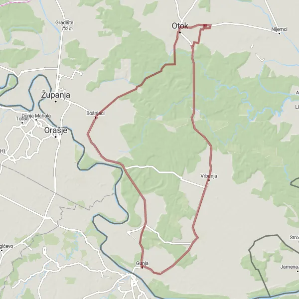
Experience off-road adventure on this gravel cycling route through Bošnjaci and Drenovci
This gravel cycling route starting from Gunja takes you through the scenic countryside, including Bošnjaci, Otok, Vrbanja, and Drenovci. The route covers a distance of 81km with an ascent of 57m. It is suitable for cyclists looking to explore the off-road trails in Panonska Hrvatska.
Gunja - Brčko - Gunja
Explore the charming city of Brčko on this road cycling route
This road cycling route takes you from Gunja to Brčko and back. Along the way, you'll experience the beautiful scenery of Panonska Hrvatska. The route includes a total ascent of 588m over a distance of 78km. It is suitable for bikers with a moderate level of fitness.
Cycling routes nearby:


Nearby regions: