Panonska Hrvatska Loop
A road cycling route starting from Draganici
Immerse yourself in the flatlands of Panonska Hrvatksa and explore its idyllic villages and countryside.
Map
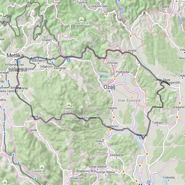
Embark on a picturesque journey through Panonska Hrvatska, characterized by its flat terrain and scenic countryside. This cycling loop near Draganići takes you on a 67-kilometer adventure with a total ascent of 993 meters. The route showcases the stunning natural beauty and cultural heritage of the region, with several notable highlights along the way. Experience the joy of road cycling or gravel riding as you traverse the peaceful landscapes of Panonska Hrvatska.
road
67 km
993 m
Tough
Route profile
Highlights on the route
0 km
0 km
Start: Guci Draganički Village centerDraganići: Diverse landscapes for road and gravel cycling in Croatia.
Draganići is a locality located in the Panonska Hrvatska region of Croatia. For road and gravel cyclists, this area offers a diverse landscape with hilly and forested terrains. The roads are well-maintained but also contain sections of gravel, providing options to both road and gravel cycling enthusiasts. While there are no famous cycling-related spots or well-known climbs nearby, Draganići provides the opportunity to explore the beautiful Croatian countryside while enjoying a challenging ride.14 km
14 km
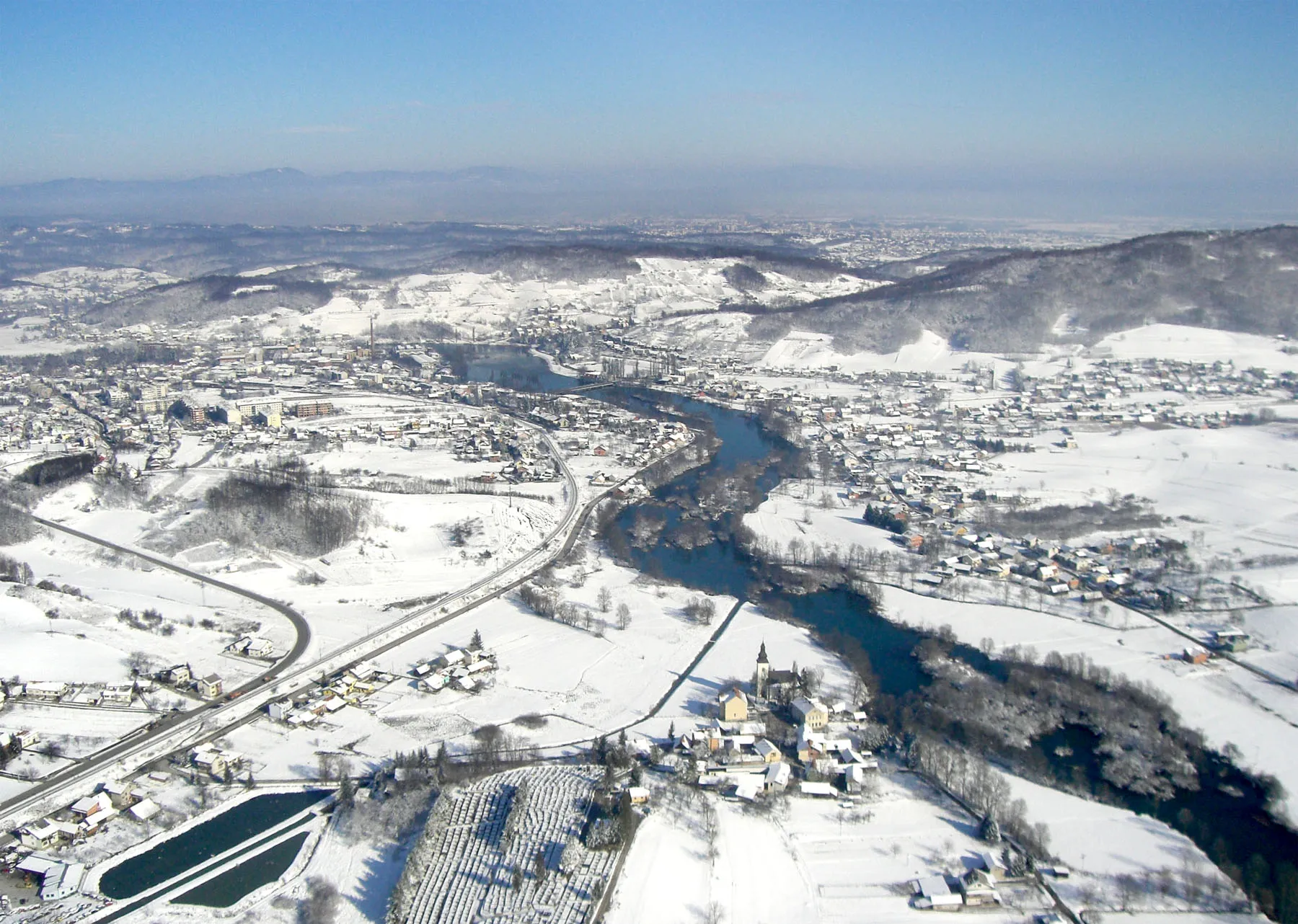
Gornje PokupjeVillageLocated 14 kilometers into the route, the village of Gornje Pokupje offers a glimpse into traditional rural life with its charming architecture and friendly locals.
30 km
30 km
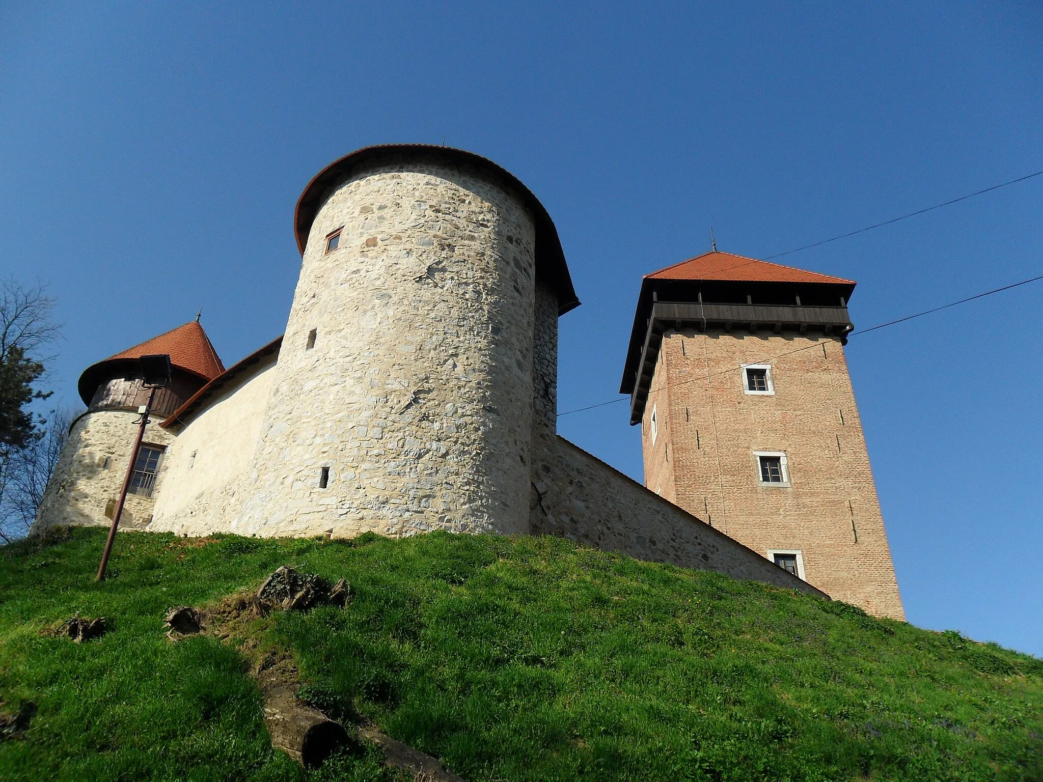
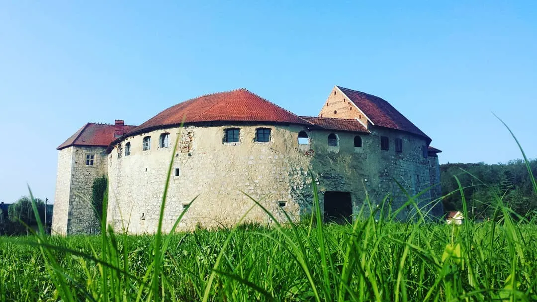
RibnikVillageAt the 30-kilometer mark, you'll encounter the town of Ribnik, known for its historic buildings and picturesque surroundings. Take a moment to explore the town center and admire the beautiful landscape.
43 km
43 km
Goljak206 mPeakThe highlight at Goljak, located 43 kilometers into the route, provides a peaceful natural setting for relaxation and reflection. Marvel at the tranquil atmosphere and enjoy a short break.
44 km
44 km
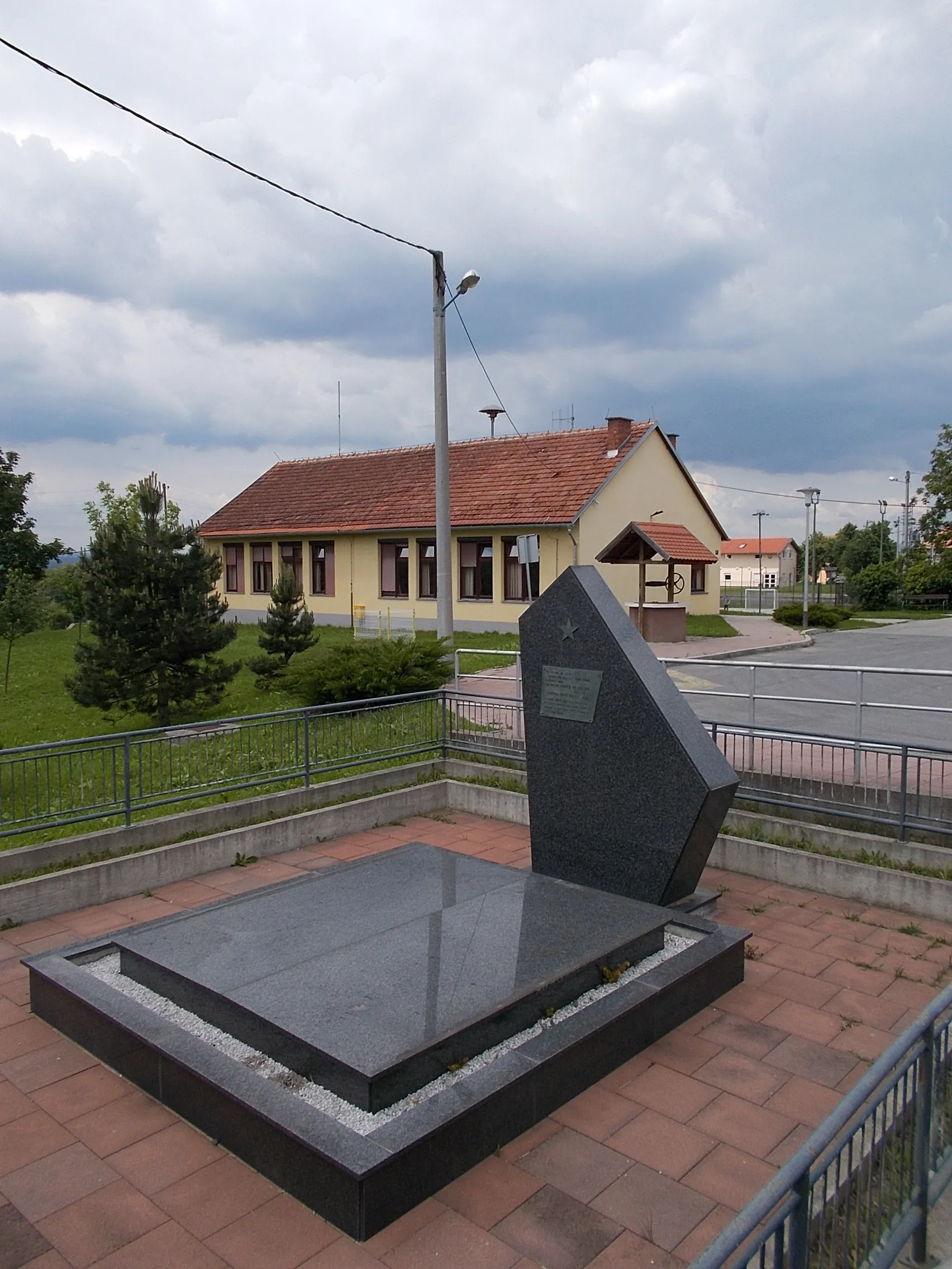
BožakovoVillageReaching the 44-kilometer point, you'll arrive at Božakovo, a scenic village with charming countryside views. Take a moment to appreciate the enchanting beauty of this hidden gem.
50 km
50 km
Burnik249 mPeakBurnik at the 50-kilometer mark showcases panoramic vistas over the vast plains of Panonska Hrvatska. Stop and marvel at the breathtaking landscape stretching as far as the eye can see.
61 km
61 km
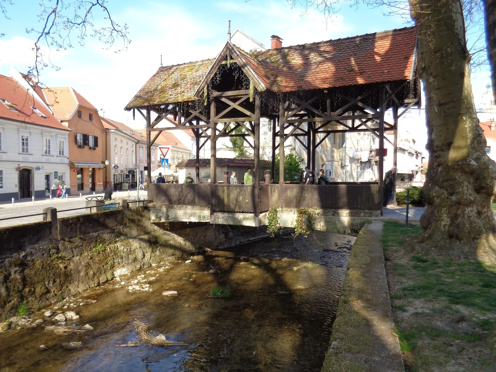
BrezarićVillageAs you approach the 61-kilometer point, you'll encounter Brezarić, a village boasting architectural gems and centuries-old traditions. Immerse yourself in its rich cultural heritage.
67 km
67 km
Finish: Guci Draganički Village centerDraganići: Diverse landscapes for road and gravel cycling in Croatia.
Cycling routes nearby: