![Cover image](https://images.tarmacs.app/cycling-routes/covers/croatia/panonska-hrvatska/nustar-4.webp)
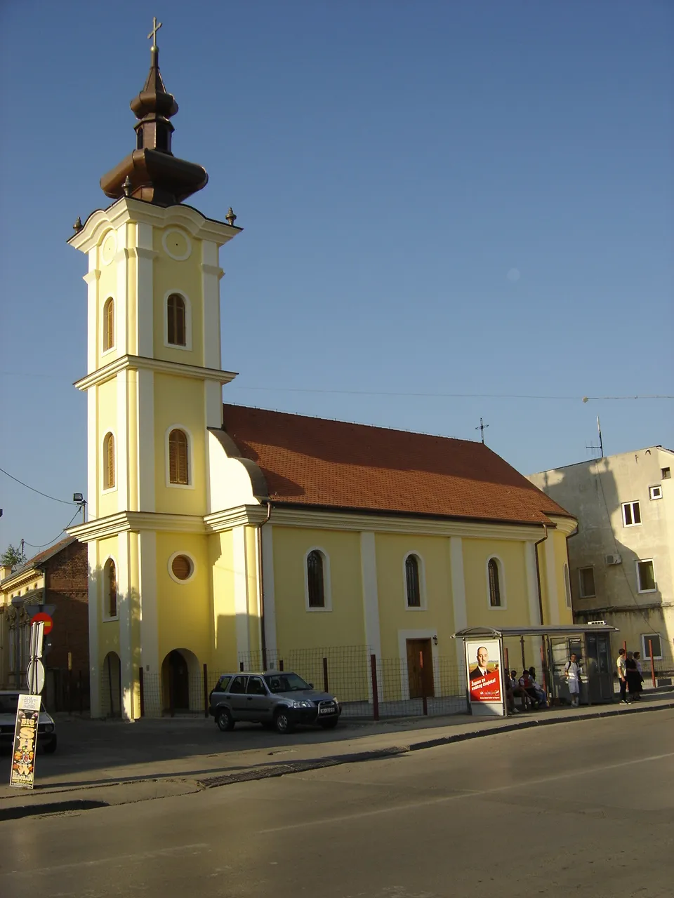
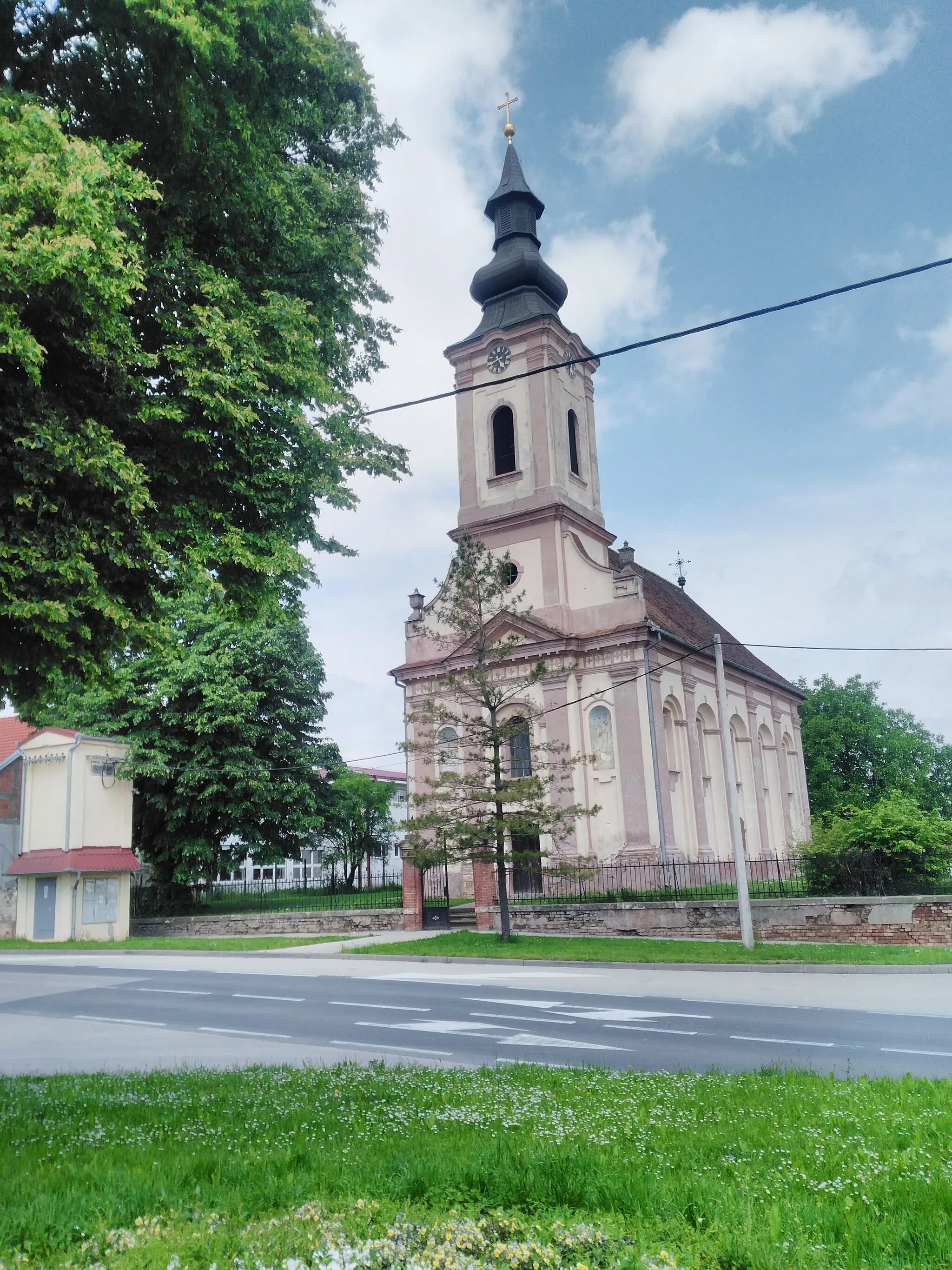
Tranquility and easy rides in Nuštar
Cycling routes from Nustar
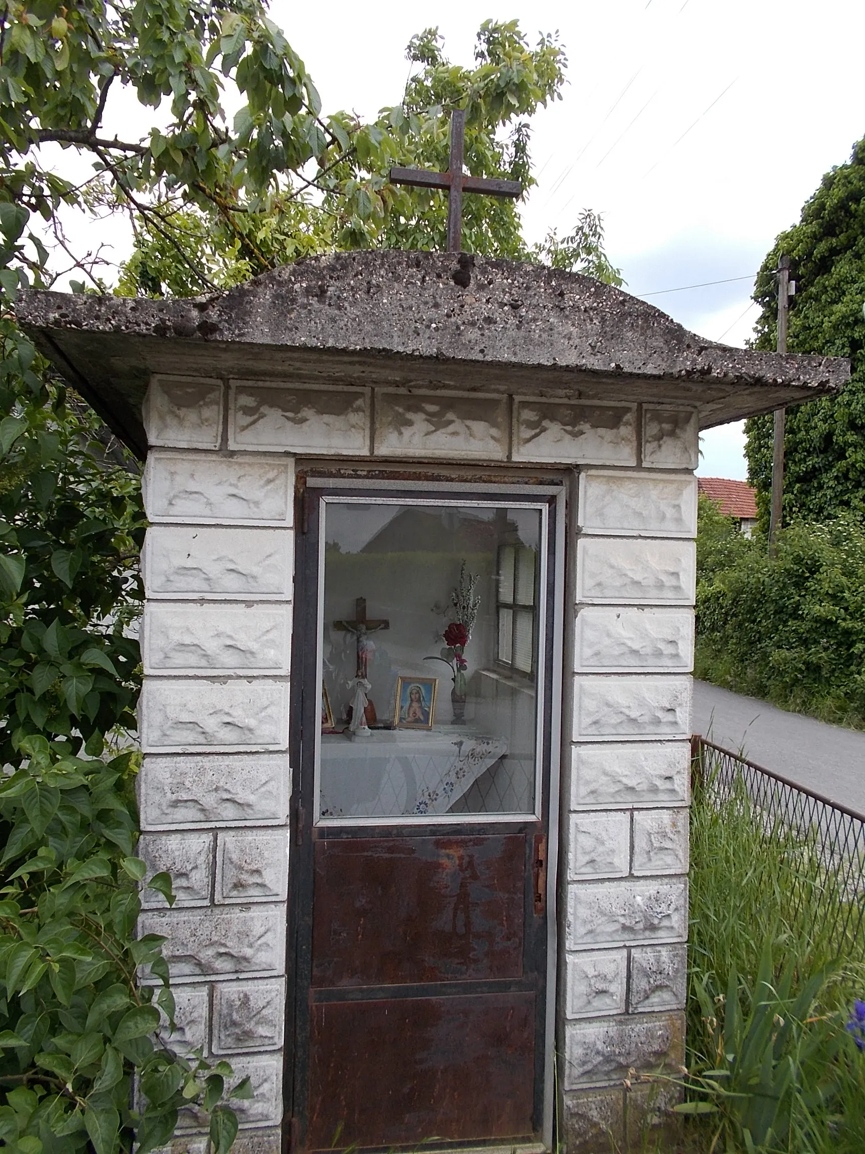
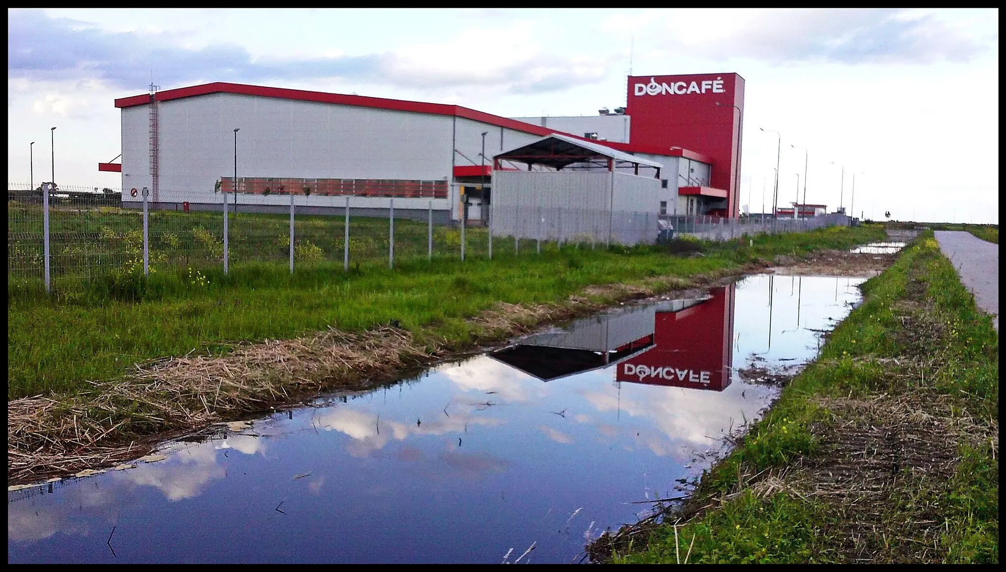
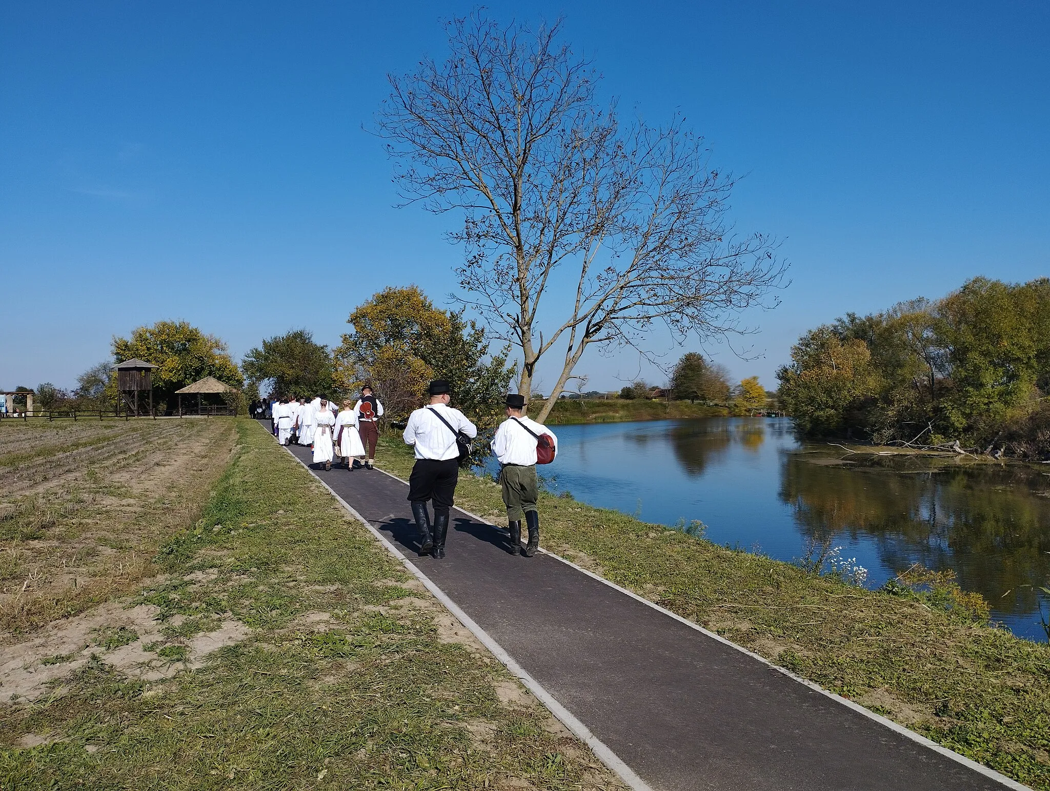
Nuštar in Panonska Hrvatska, Croatia, offers a unique cycling experience with its flat terrain and tranquil surroundings. Road and gravel cyclists can enjoy leisurely rides through the peaceful countryside, dotted with vineyards, farm fields, and quaint villages. While Nuštar may not offer challenging climbs, it provides an ideal setting for relaxed cycling and exploration. Cyclists can also explore nearby destinations such as Vukovar or take on longer rides along the Drava River. Nuštar is a great choice for cyclists seeking tranquil and scenic rides.
The Gravel Explorer
![Map miniature of "The Gravel Explorer" cycling inspiration in Panonska Hrvatska, Croatia. Generated by Tarmacs.app cycling route planner](https://images.tarmacs.app/cycling-routes/routemaps/600/croatia/panonska-hrvatska/nustar/gravel/245001.webp)
Embark on a thrilling adventure through the rural landscapes of Panonska Hrvatska.
With a bike kind suited for gravel and a total ascent of 124 meters over a distance of 65 kilometers, this route offers a unique and distinct cycling experience. Explore the charming villages along the way and be amazed by the natural beauty of the region.
![Map miniature of "The Historic Route" cycling inspiration in Panonska Hrvatska, Croatia. Generated by Tarmacs.app cycling route planner](https://images.tarmacs.app/cycling-routes/routemaps/600/croatia/panonska-hrvatska/nustar/road/244973.webp)
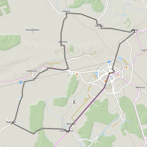
Discover the fascinating historical sites scattered along this 94-kilometer road cycling route.
With an ascent of 137 meters, this road cycling route guarantees a rewarding and informative journey through Panonska Hrvatska. Immerse yourself in the region's history as you visit notable landmarks and charming villages.
![Map miniature of "Rural Delight" cycling inspiration in Panonska Hrvatska, Croatia. Generated by Tarmacs.app cycling route planner](https://images.tarmacs.app/cycling-routes/routemaps/600/croatia/panonska-hrvatska/nustar/road/244993.webp)
Embark on a peaceful countryside journey on this road cycling route.
Covering a distance of 51 kilometers with a manageable ascent of 42 meters, this route is perfect for those seeking a relaxed and scenic ride through the rural landscapes of Panonska Hrvatska.
![Map miniature of "Scenic Exploration" cycling inspiration in Panonska Hrvatska, Croatia. Generated by Tarmacs.app cycling route planner](https://images.tarmacs.app/cycling-routes/routemaps/600/croatia/panonska-hrvatska/nustar/road/244974.webp)
Immerse yourself in the scenic beauty of Panonska Hrvatska on this road cycling route.
Covering a distance of 73 kilometers with a moderate ascent of 75 meters, this route offers riders the opportunity to admire the picturesque landscapes and charming villages of the region.
![Map miniature of "The Vinkovci Adventure" cycling inspiration in Panonska Hrvatska, Croatia. Generated by Tarmacs.app cycling route planner](https://images.tarmacs.app/cycling-routes/routemaps/600/croatia/panonska-hrvatska/nustar/road/244896.webp)
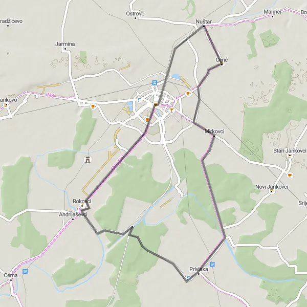
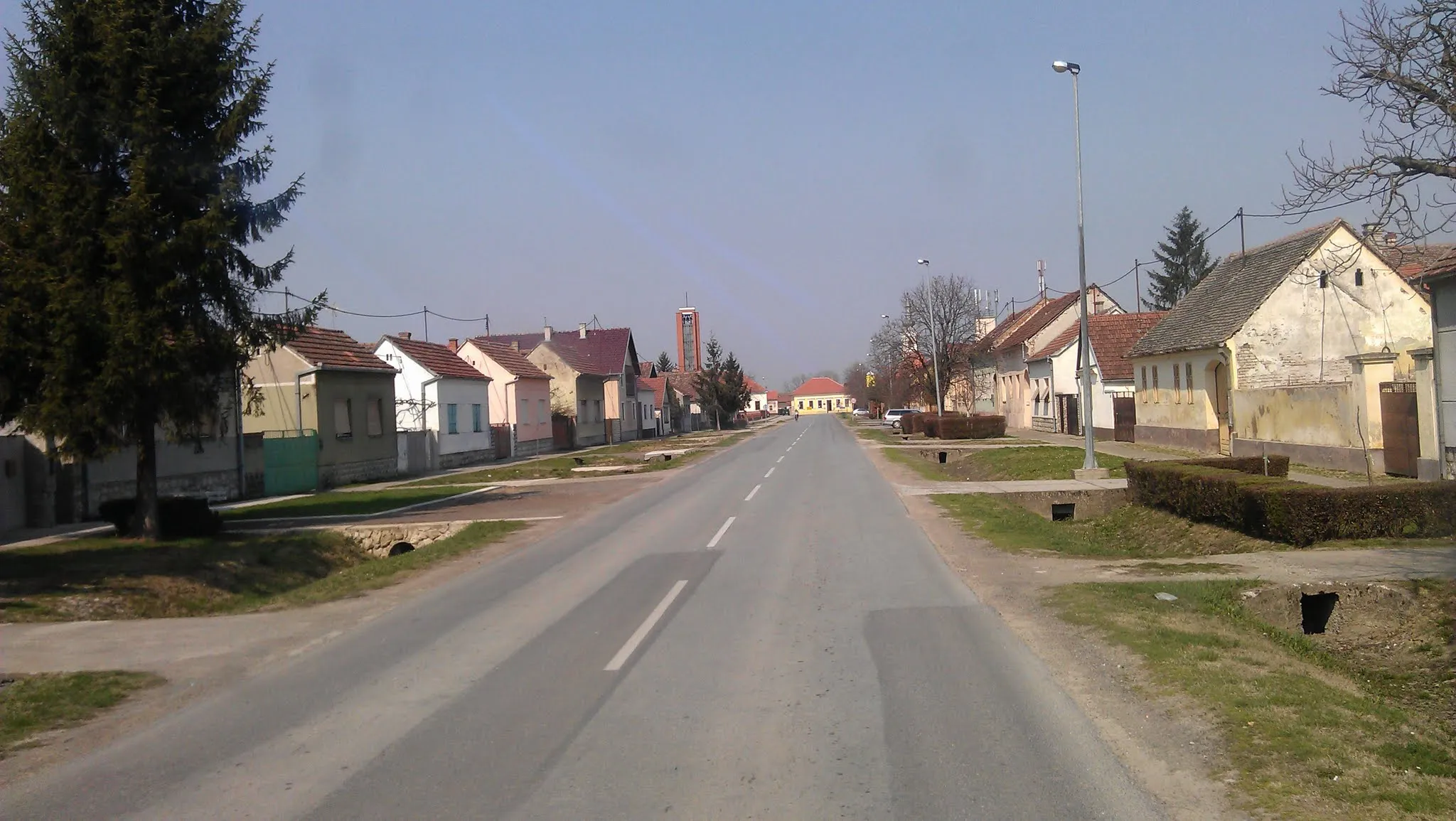
Explore the historic town of Vinkovci and its surrounding landscapes
Embark on a short but exciting road cycling adventure that starts near Nuštar and takes you to the charming town of Vinkovci. With a distance of 43 kilometers and an elevation gain of 49 meters, this route is perfect for cyclists looking for a quick getaway. Cycle through Nuštar, Mirkovci, Privlaka, and finally reach Vinkovci, where you can explore its rich cultural heritage and vibrant atmosphere.
![Map miniature of "The Road to Babina Greda" cycling inspiration in Panonska Hrvatska, Croatia. Generated by Tarmacs.app cycling route planner](https://images.tarmacs.app/cycling-routes/routemaps/600/croatia/panonska-hrvatska/nustar/road/244989.webp)
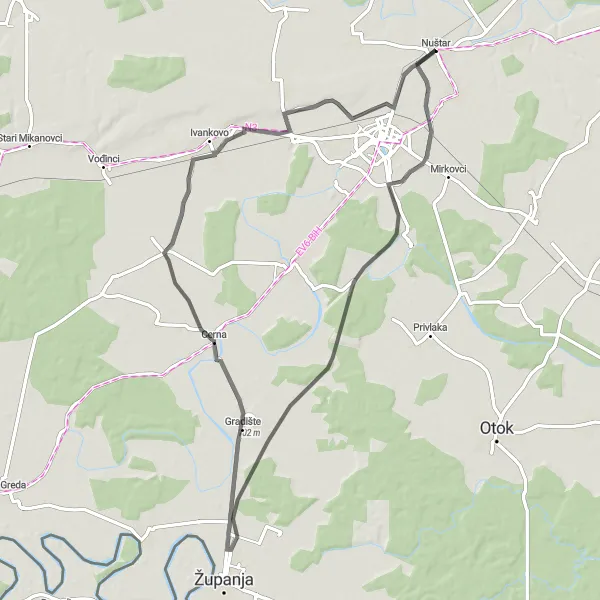
Embark on a scenic road journey towards the beautiful village of Babina Greda.
Suitable for road bikes, this 83-kilometer long route invites cyclists to admire the captivating landscapes of Panonska Hrvatska. With a moderate ascent of 87 meters, this is a great option for well-trained amateurs looking for a challenging ride.
![Map miniature of "The Gravel Trail" cycling inspiration in Panonska Hrvatska, Croatia. Generated by Tarmacs.app cycling route planner](https://images.tarmacs.app/cycling-routes/routemaps/600/croatia/panonska-hrvatska/nustar/gravel/245005.webp)
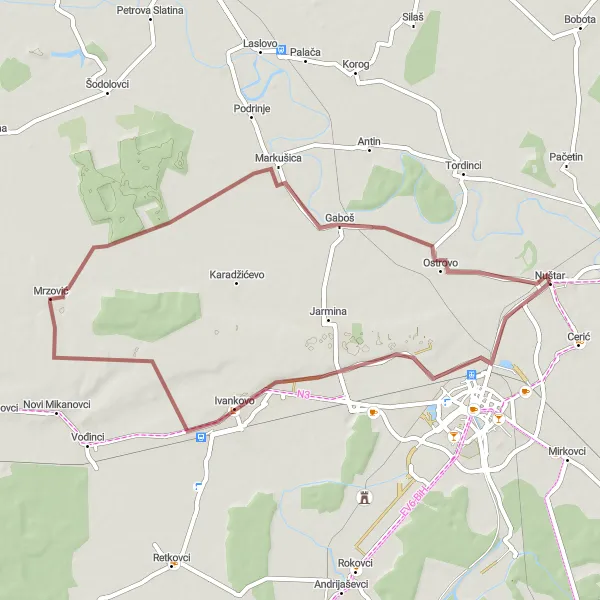
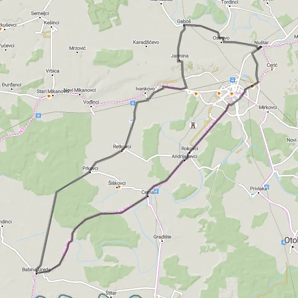
Embark on an off-road adventure through the gravel trails of Panonska Hrvatska.
For those seeking a thrilling off-road experience, the Gravel Trail is the perfect choice. This route, starting near Nuštar, covers a distance of 50 kilometers with an elevation gain of 55 meters. Explore the gravel trails of Borinci, Ivankovo, Gaboš, and return to Nuštar, immersing yourself in the untouched beauty of the countryside.
![Map miniature of "The Danube Escape" cycling inspiration in Panonska Hrvatska, Croatia. Generated by Tarmacs.app cycling route planner](https://images.tarmacs.app/cycling-routes/routemaps/600/croatia/panonska-hrvatska/nustar/road/245011.webp)
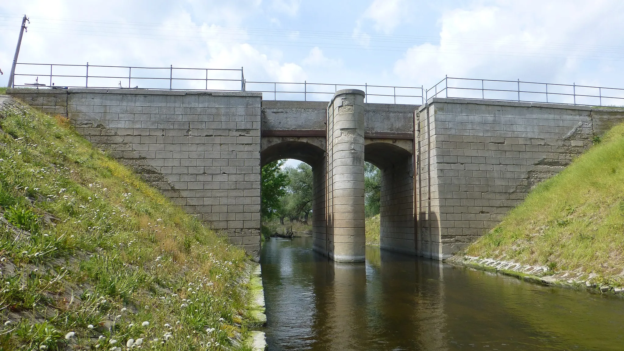
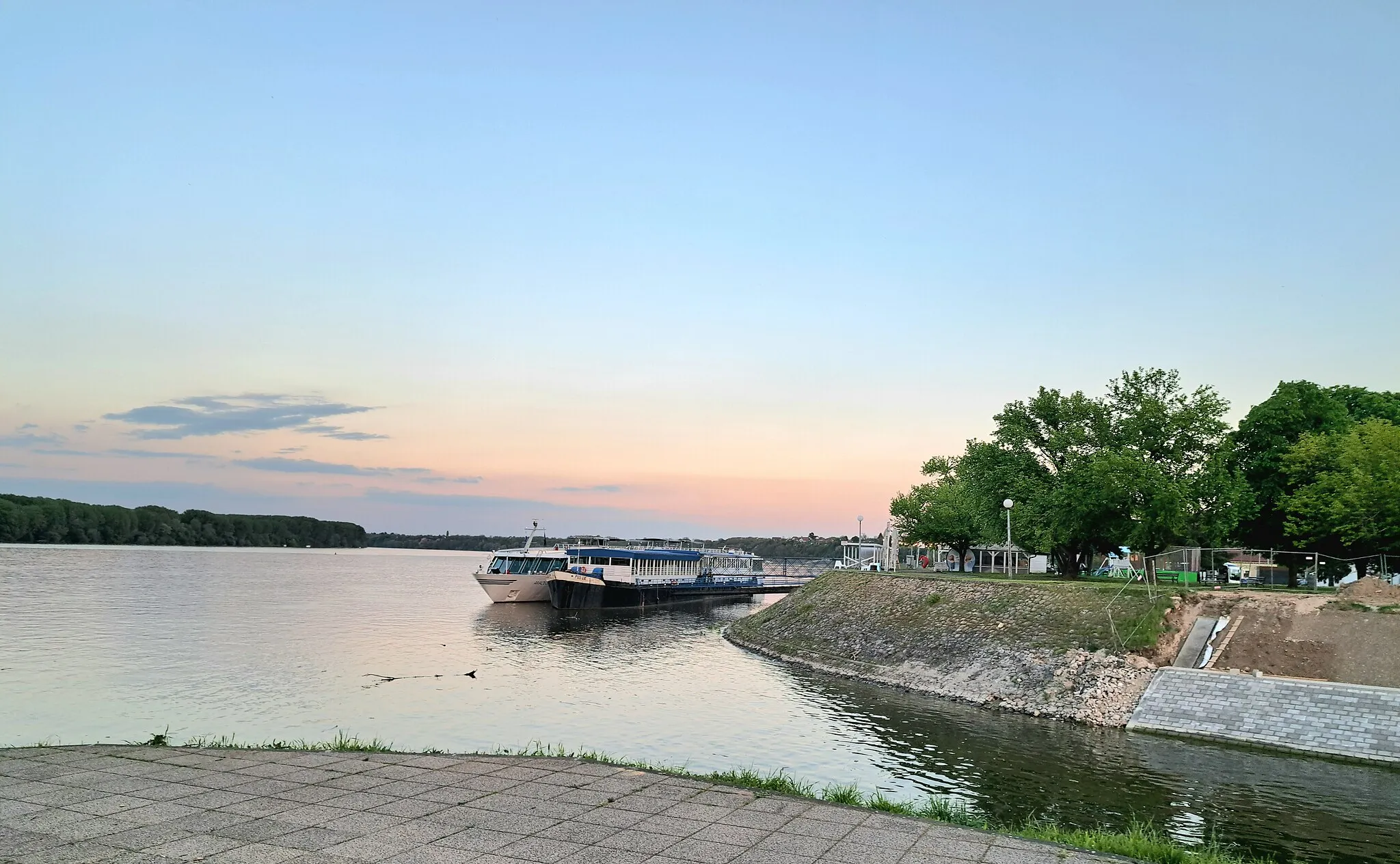
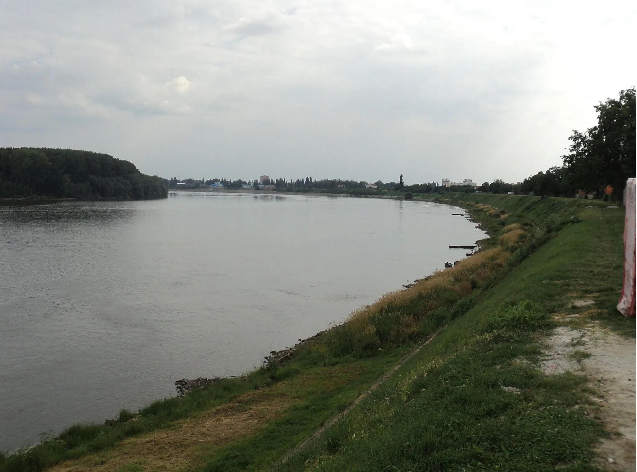
Cycle alongside the mighty Danube River and immerse yourself in natural beauty
The Danube Escape is a delightful road cycling route starting near Nuštar that takes you on a scenic journey along the majestic Danube River. With a distance of 80 kilometers and an elevation gain of 25 meters, this route is suitable for both beginner and experienced cyclists. Enjoy the picturesque landscapes of Panonska Hrvatska as you pass through Markušica, Ernestinovo, CRAS d.o.o., Klisa, and finally Pačetin.
The Panonska Kletva
![Map miniature of "The Panonska Kletva" cycling inspiration in Panonska Hrvatska, Croatia. Generated by Tarmacs.app cycling route planner](https://images.tarmacs.app/cycling-routes/routemaps/600/croatia/panonska-hrvatska/nustar/road/245014.webp)
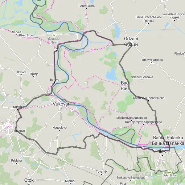
Embark on a journey through the picturesque landscapes of Panonska Hrvatska
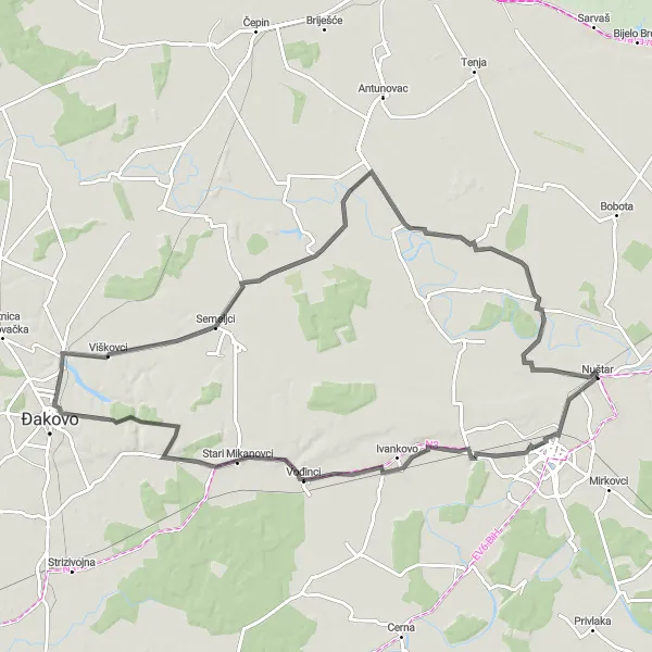
Panonska Kletva is a scenic and diverse cycling route that takes you through the charming countryside of Panonska Hrvatska, offering stunning views of vineyards, fertile plains, and historic towns. With a total distance of 154 kilometers and an elevation gain of 307 meters, this road cycling route is suitable for well-trained amateurs. The route starts near Nuštar and takes you through Borovo, Dalj, Bogojevo, Deronje, Tovarisevo, Ilok, Lovka, Mikluševci, Orolik, and ends back at Nuštar.
The Eastern Frontier
![Map miniature of "The Eastern Frontier" cycling inspiration in Panonska Hrvatska, Croatia. Generated by Tarmacs.app cycling route planner](https://images.tarmacs.app/cycling-routes/routemaps/600/croatia/panonska-hrvatska/nustar/road/244968.webp)
Cycle along the border between Croatia and Serbia and discover the diversity of the region.
Experience the fascinating history and cultural diversity of the Croatian-Serbian border region with the Eastern Frontier cycling route starting near Nuštar. With a distance of 106 kilometers and an elevation gain of 155 meters, this challenging road cycling route is suitable for experienced cyclists. Explore Vukovar, Sotin, Šid, Tovarnik, Orolik, and finally return to Nuštar.
Cycling routes nearby:
![Image of Vinkovci](https://images.tarmacs.app/cycling-routes/covers/croatia/panonska-hrvatska/vinkovci-3.webp)
![Image of Mirkovci](https://images.tarmacs.app/cycling-routes/covers/croatia/panonska-hrvatska/mirkovci-5.webp)
![Image of Jarmina](https://images.tarmacs.app/cycling-routes/covers/croatia/panonska-hrvatska/jarmina-4.webp)
![Image of Vukovar](https://images.tarmacs.app/cycling-routes/covers/croatia/panonska-hrvatska/vukovar-4.webp)
![Image of Ivankovo](https://images.tarmacs.app/cycling-routes/covers/croatia/panonska-hrvatska/ivankovo-4.webp)
![Image of Borovo](https://images.tarmacs.app/cycling-routes/covers/croatia/panonska-hrvatska/borovo-5.webp)
![Image of Rokovci](https://images.tarmacs.app/cycling-routes/covers/croatia/panonska-hrvatska/rokovci-3.webp)
![Image of Andrijaševci](https://images.tarmacs.app/cycling-routes/covers/croatia/panonska-hrvatska/andrijasevci-4.webp)
![Image of Privlaka](https://images.tarmacs.app/cycling-routes/covers/croatia/panonska-hrvatska/privlaka-5.webp)
Nearby regions:
![Image of Jadranska Hrvatska](https://images.tarmacs.app/cycling-routes/covers/croatia/jadranska-hrvatska/tucepi-1.webp)
![Image of Grad Zagreb](https://images.tarmacs.app/cycling-routes/covers/croatia/grad-zagreb/kraljevec-kupinecki-1.webp)
![Image of Sjeverna Hrvatska](https://images.tarmacs.app/cycling-routes/covers/croatia/sjeverna-hrvatska/pribislavec-2.webp)
![Image of Nyugat-Dunántúl](https://images.tarmacs.app/cycling-routes/covers/hungary/nyugat-dunantul/bakonyszentlaszlo-2.webp)
![Image of Dél-Dunántúl](https://images.tarmacs.app/cycling-routes/covers/hungary/del-dunantul/balatonfenyves-4.webp)
![Image of Dél-Alföld](https://images.tarmacs.app/cycling-routes/covers/hungary/del-alfold/baks-5.webp)
![Image of Autonomous Province of Vojvodina](https://images.tarmacs.app/cycling-routes/covers/serbia/autonomous-province-of-vojvodina/simanovci-4.webp)
![Image of Region Šumadije i Zapadne Srbije](https://images.tarmacs.app/cycling-routes/covers/serbia/region-sumadije-i-zapadne-srbije/pocerski-pricinovic-4.webp)
![Image of Vzhodna Slovenija](https://images.tarmacs.app/cycling-routes/covers/slovenia/vzhodna-slovenija/trebnje-5.webp)