The Eastern Frontier
A road cycling route starting from Nustar
Cycle along the border between Croatia and Serbia and discover the diversity of the region.
Map

Experience the fascinating history and cultural diversity of the Croatian-Serbian border region with the Eastern Frontier cycling route starting near Nuštar. With a distance of 106 kilometers and an elevation gain of 155 meters, this challenging road cycling route is suitable for experienced cyclists. Explore Vukovar, Sotin, Šid, Tovarnik, Orolik, and finally return to Nuštar.
road
106 km
155 m
Tough
Route profile
Highlights on the route
0 km
0 km
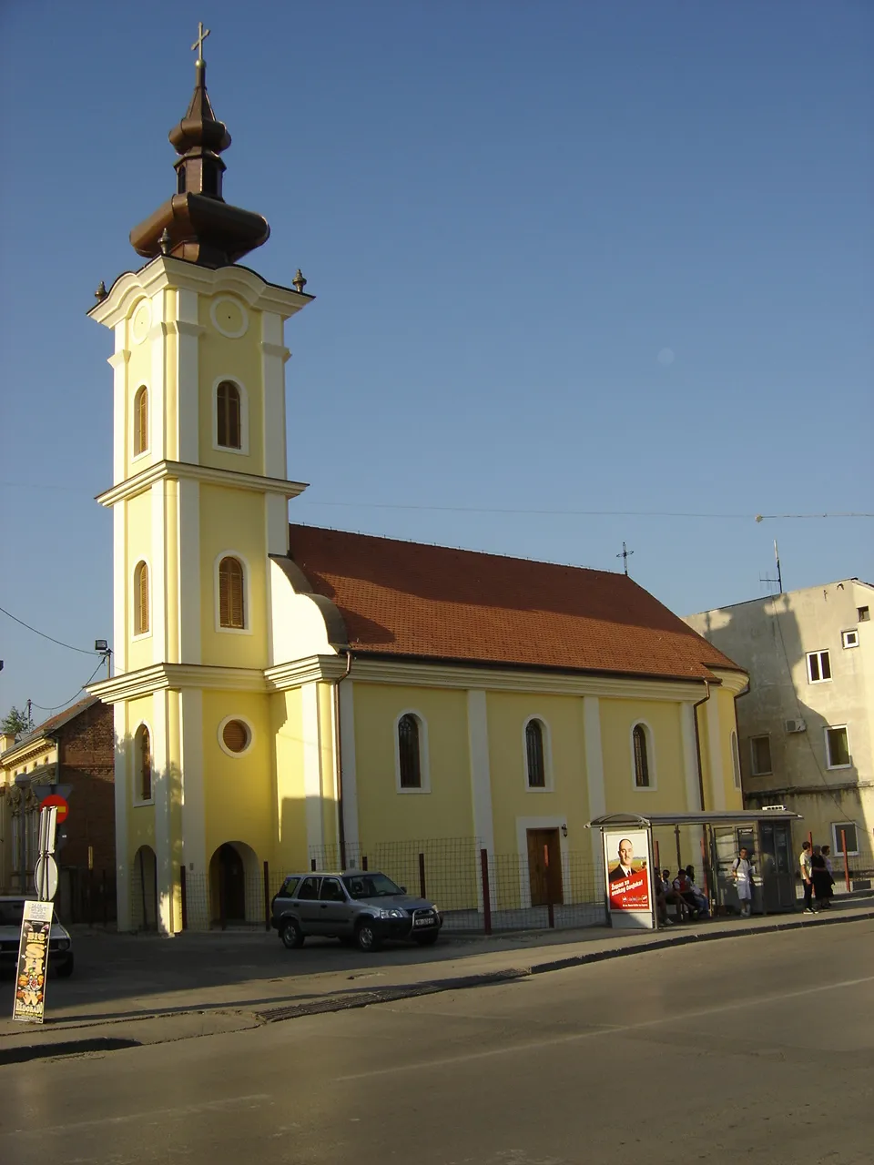
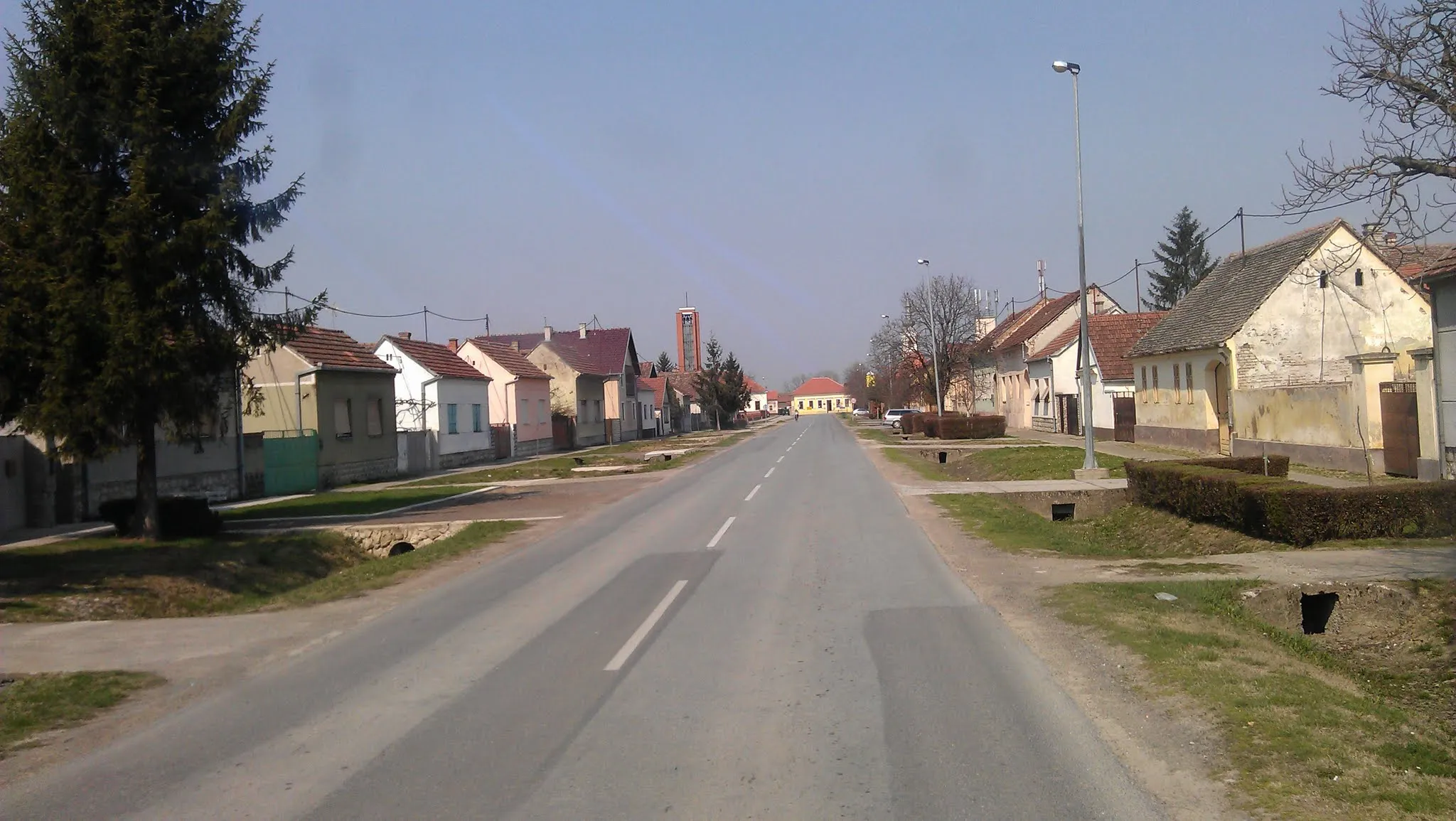
Start: Nuštar Village centerNuštar: Tranquility and easy rides in Nuštar
Nuštar in Panonska Hrvatska, Croatia, offers a unique cycling experience with its flat terrain and tranquil surroundings. Road and gravel cyclists can enjoy leisurely rides through the peaceful countryside, dotted with vineyards, farm fields, and quaint villages. While Nuštar may not offer challenging climbs, it provides an ideal setting for relaxed cycling and exploration. Cyclists can also explore nearby destinations such as Vukovar or take on longer rides along the Drava River. Nuštar is a great choice for cyclists seeking tranquil and scenic rides.13 km
13 km
VukovarTownVukovar holds a significant place in Croatian history due to the Battle of Vukovar. Visit the war memorial sites and learn about the city's resilience.
23 km
23 km
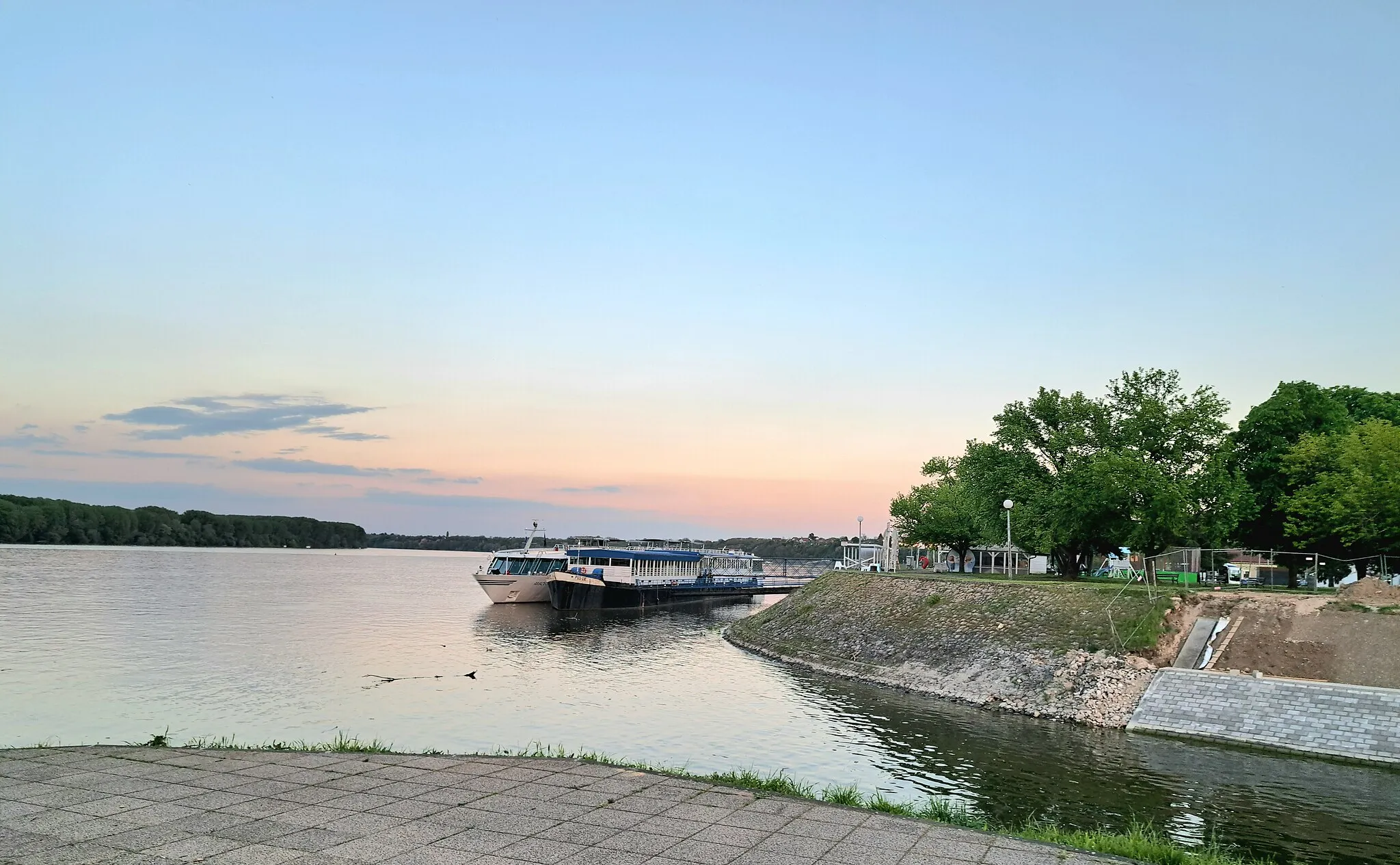
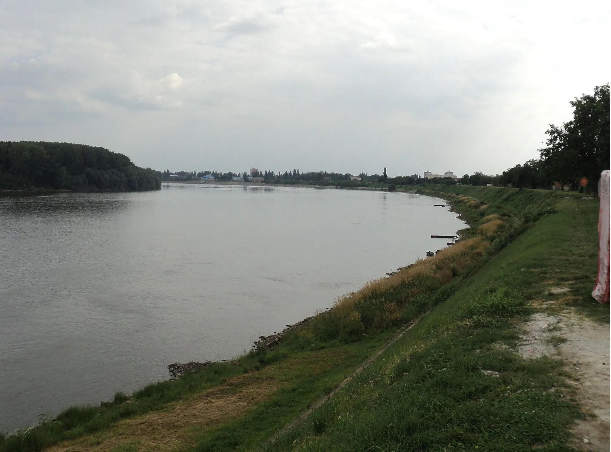
SotinVillageSotin is a quiet village situated on the Danube River. Enjoy the serene atmosphere and take a moment to appreciate the beauty of the surrounding nature.
46 km
46 km
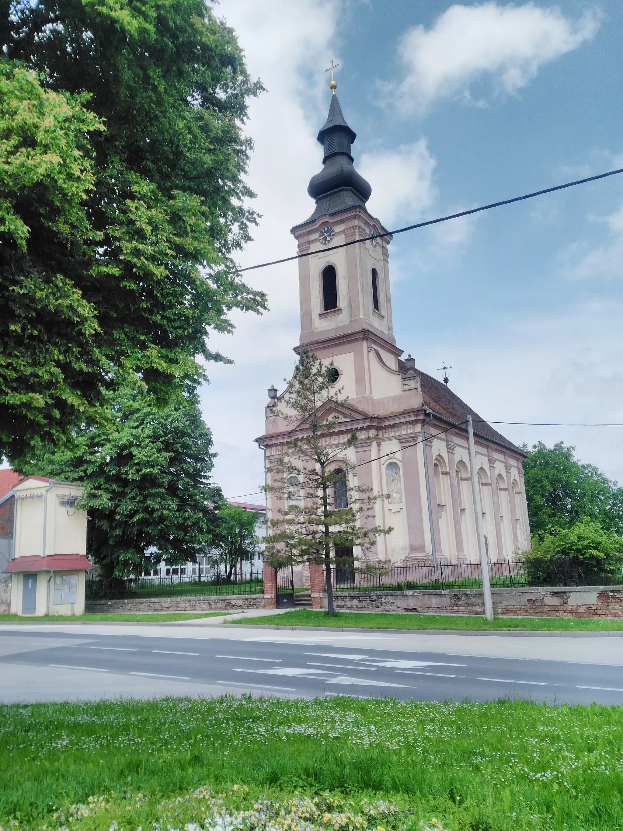
ŠidTownŠid is a charming town with a mix of Serbian and Croatian culture. Explore its narrow streets, picturesque squares, and local craft shops.
70 km
70 km
TovarnikVillageTovarnik is located on the border between Croatia and Serbia. Learn about the importance of this strategic location and its impact on the region.
85 km
85 km
OrolikVillageOrolik is home to a beautiful medieval fortress. Stop by and learn about its history and significance in the region.
106 km
106 km
NuštarVillageNuštar is the starting and ending point of this route. While small, it offers a glimpse into the local way of life in Panonska Hrvatska.
106 km
106 km
Finish: Nuštar Village centerNuštar: Tranquility and easy rides in Nuštar
Cycling routes nearby: