Scenic Exploration
A gravel cycling route starting from Spalene Porici
Embark on a scenic exploration of Spálené Poříčí and its surroundings
Map
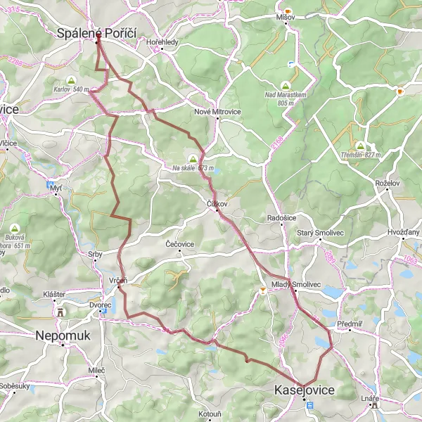
Embark on a picturesque journey near Spálené Poříčí with the Scenic Exploration gravel route. Covering a distance of 51 km and ascending 864 m, this trail offers breathtaking landscapes and idyllic countryside. Starting in Spálené Poříčí, the route passes highlights such as Na skále, Dožice, Věží vrch, Čmelíny, and returns back to Spálené Poříčí. This moderately challenging route is perfect for amateur cyclists seeking a scenic adventure that takes them through quaint villages and stunning natural beauty.
gravel
51 km
864 m
Tough
Route profile
Highlights on the route
0 km
0 km
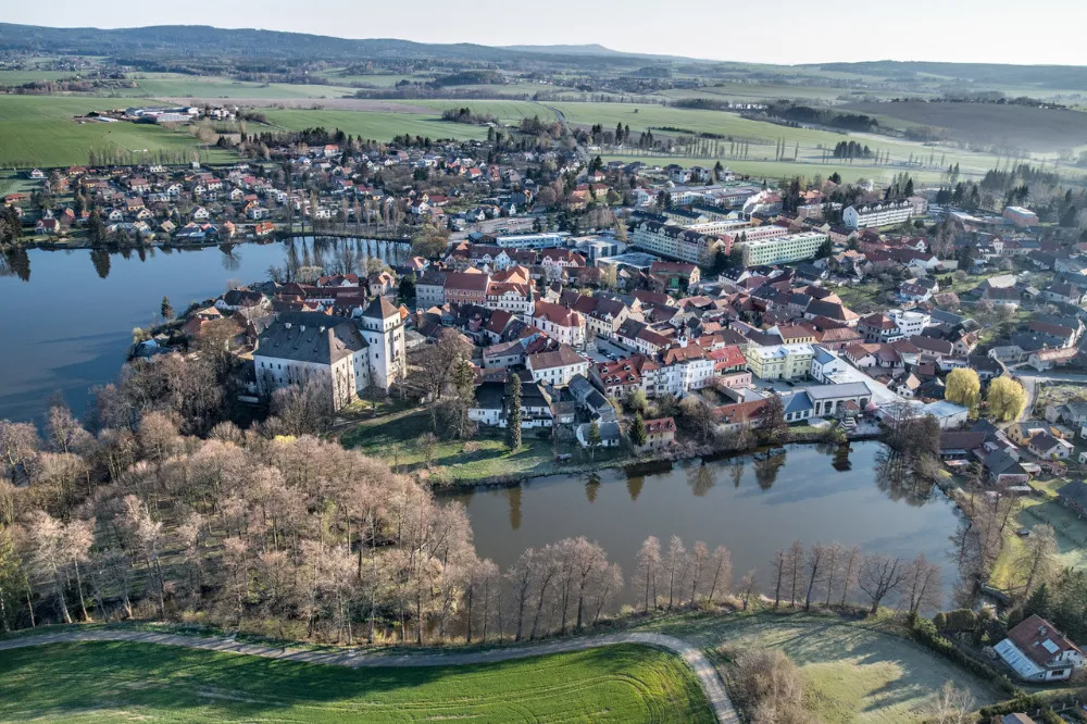
Start: Spálené Poříčí City centerSpálené Poříčí: Cycling in the tranquil countryside of Spálené Poříčí
Spálené Poříčí is a small town located in the Jihozápad region of Czech Republic. From a cyclist's perspective, this locality offers relatively flat terrains with picturesque countryside roads, perfect for leisurely rides. The town itself has a charming atmosphere with a few local cafes and shops, making it convenient for a refreshment stop during a cycling trip. While there are no famous cycling climbs directly in Spálené Poříčí, it serves as a good starting point for exploring the surrounding area, which includes several beautiful cycling routes and nature trails. Overall, Spálené Poříčí offers a pleasant cycling experience with its peaceful surroundings and easy-to-navigate roads.9 km
9 km
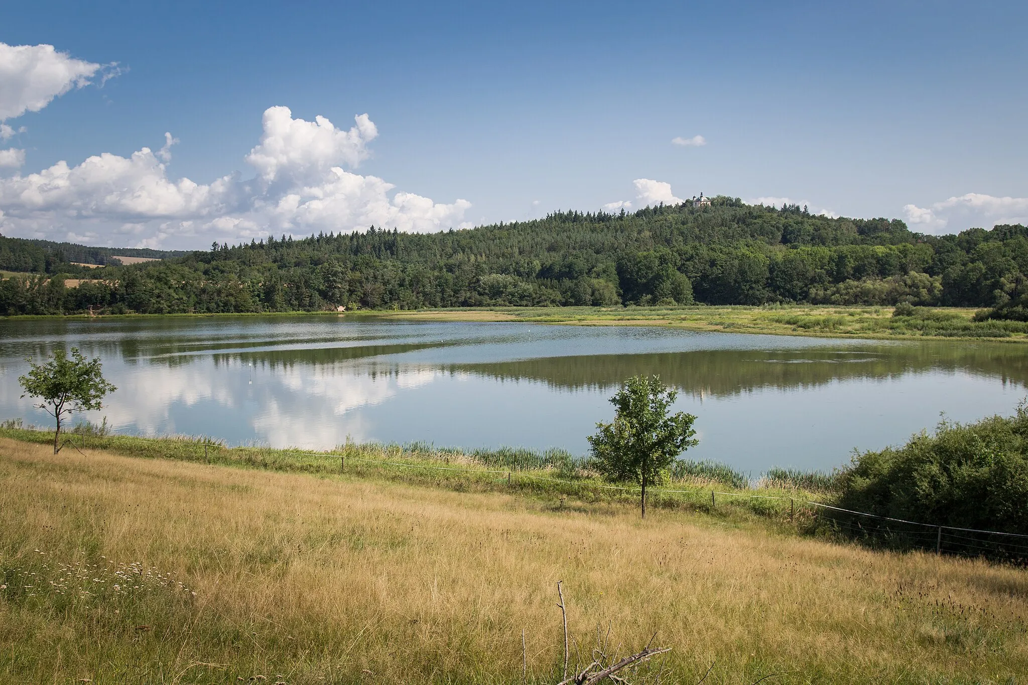
Na skále673 mPeak ViewpointNa skále offers a vantage point with exceptional views of the surrounding landscape, making it an ideal spot for taking photographs and immersing oneself in nature's beauty.
14 km
14 km
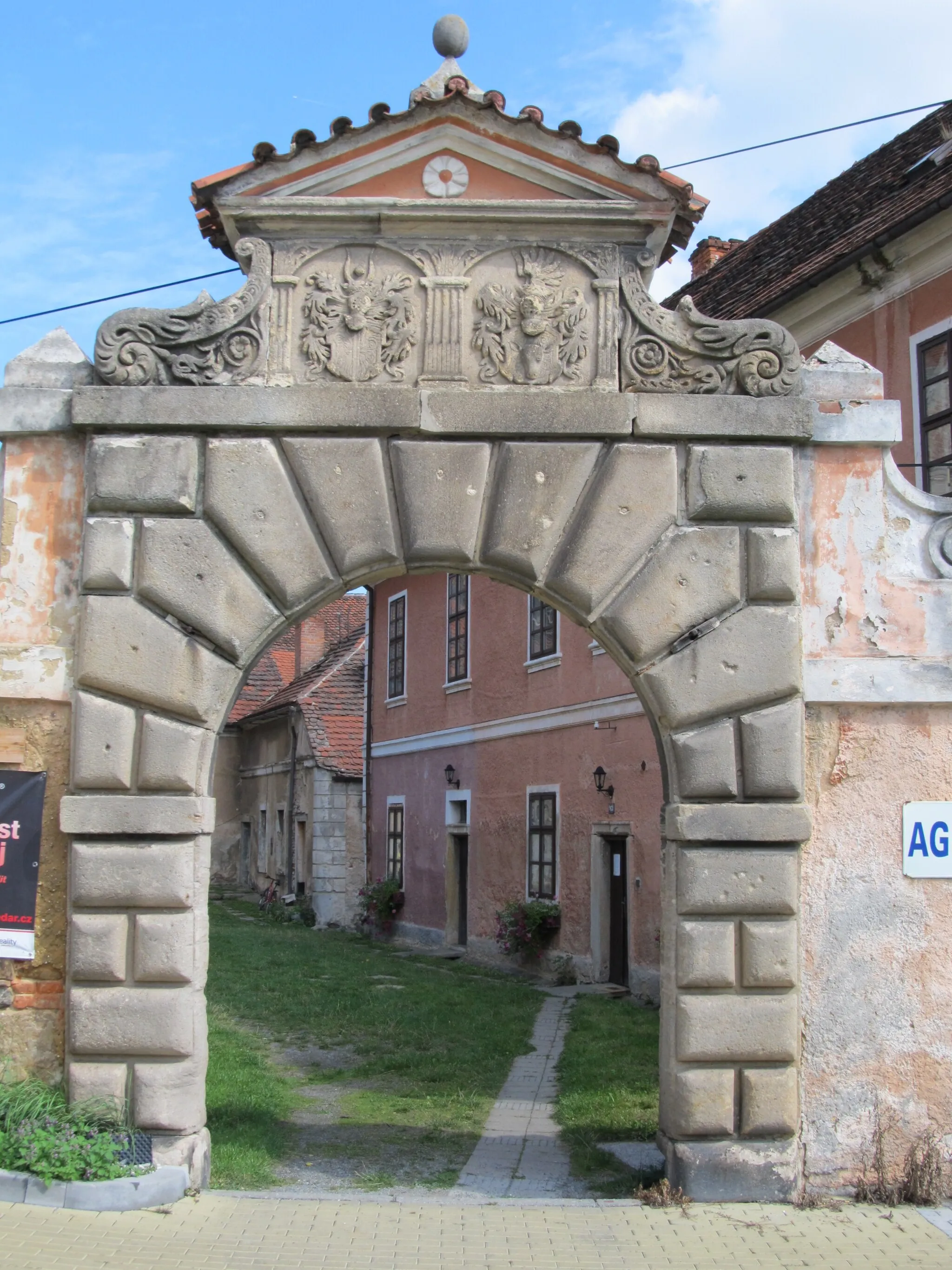
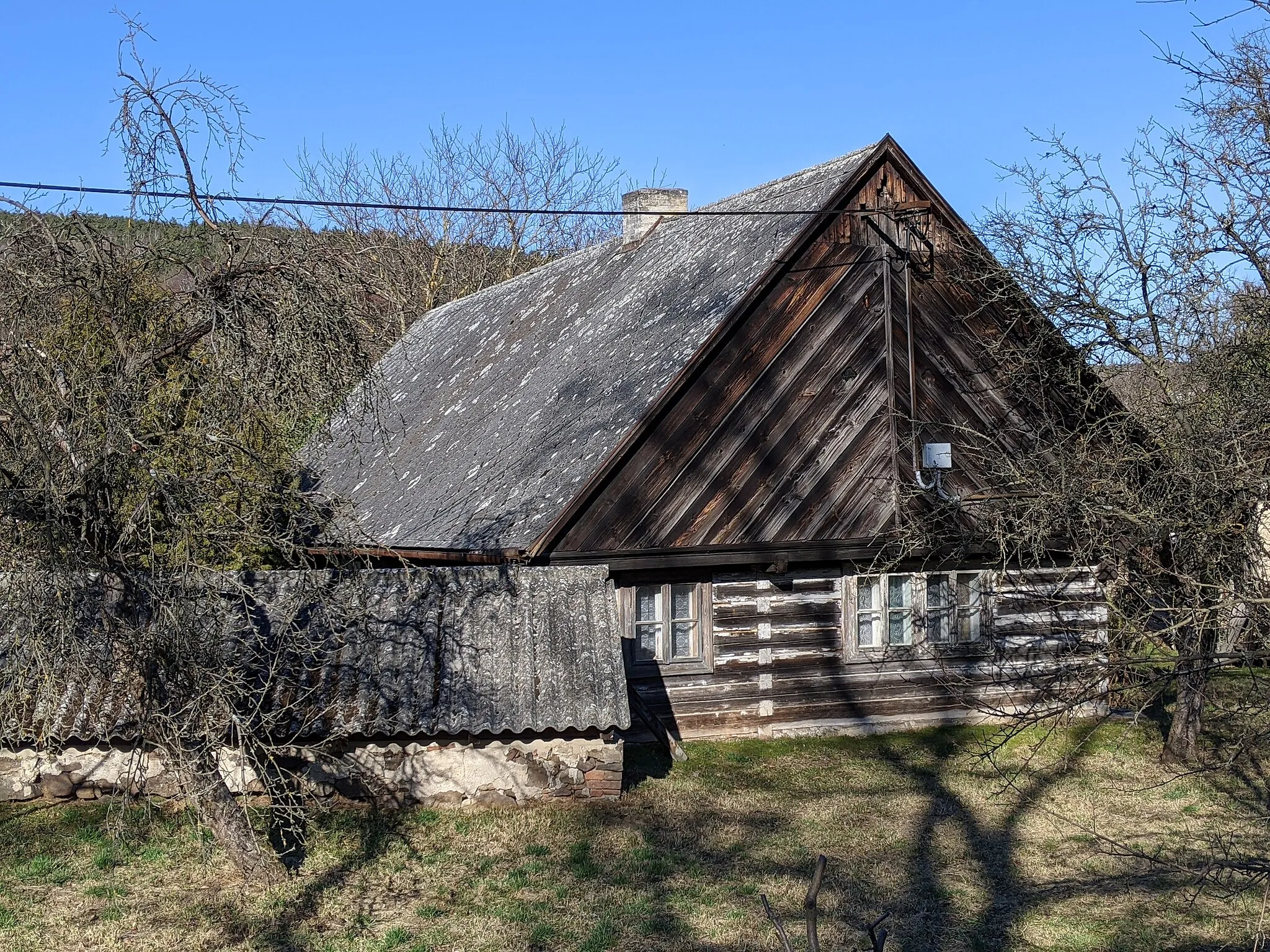
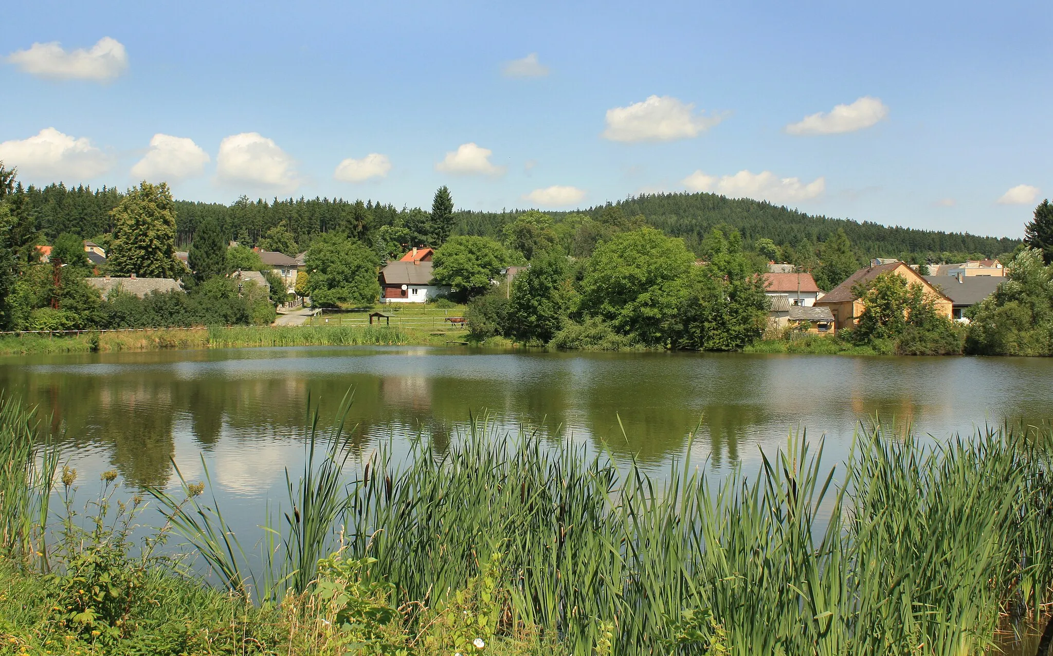
DožiceVillageDožice is a charming village surrounded by lush greenery, highlighted by its picturesque rural atmosphere and well-preserved cottages.
29 km
29 km
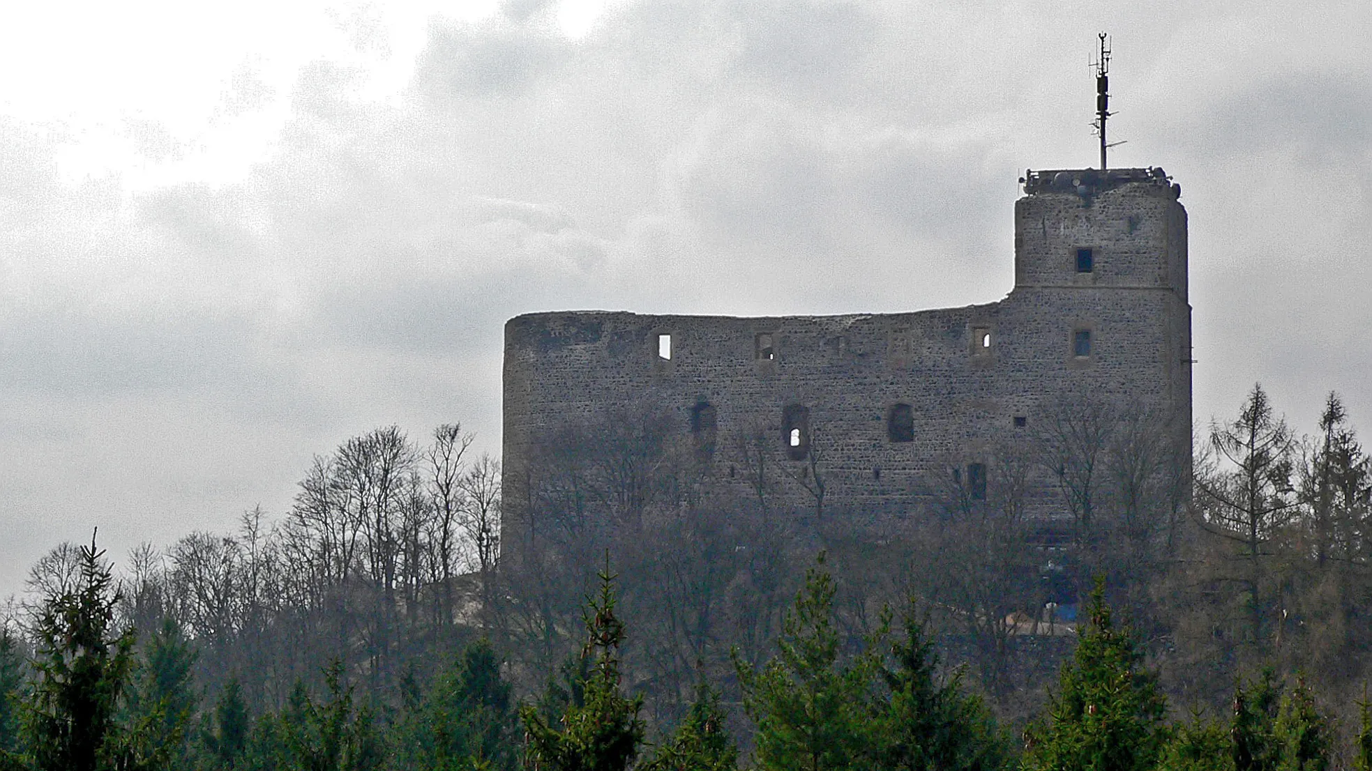
Věží vrch568 mPeakVěží vrch is a hilltop viewpoint that allows cyclists to take in the breathtaking panorama of the rolling hills and green valleys below.
31 km
31 km
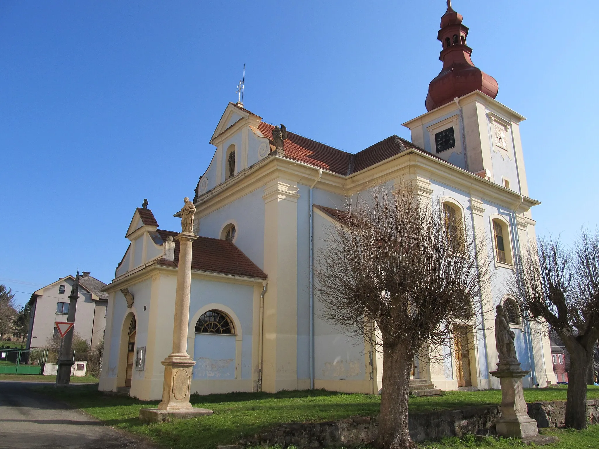
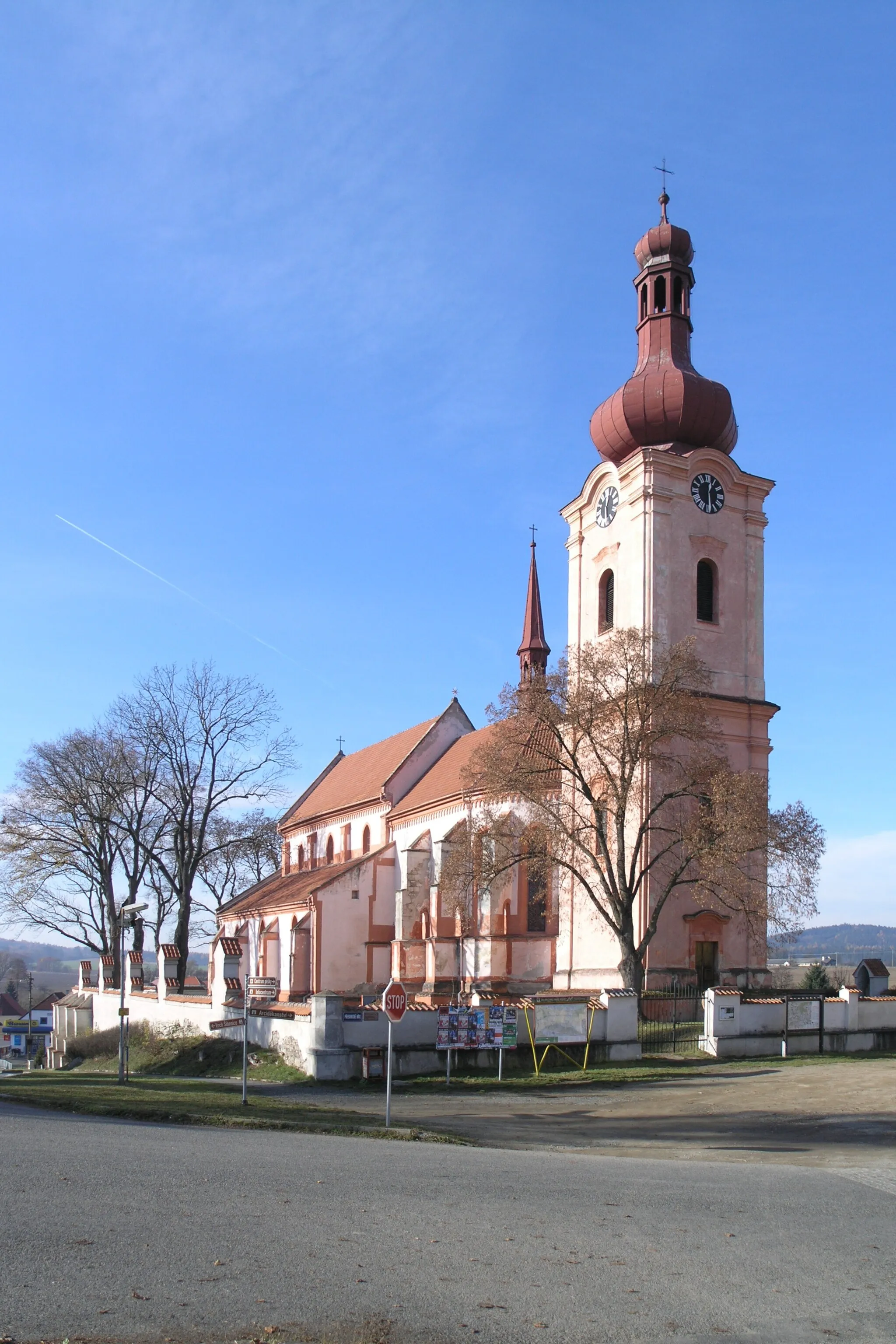
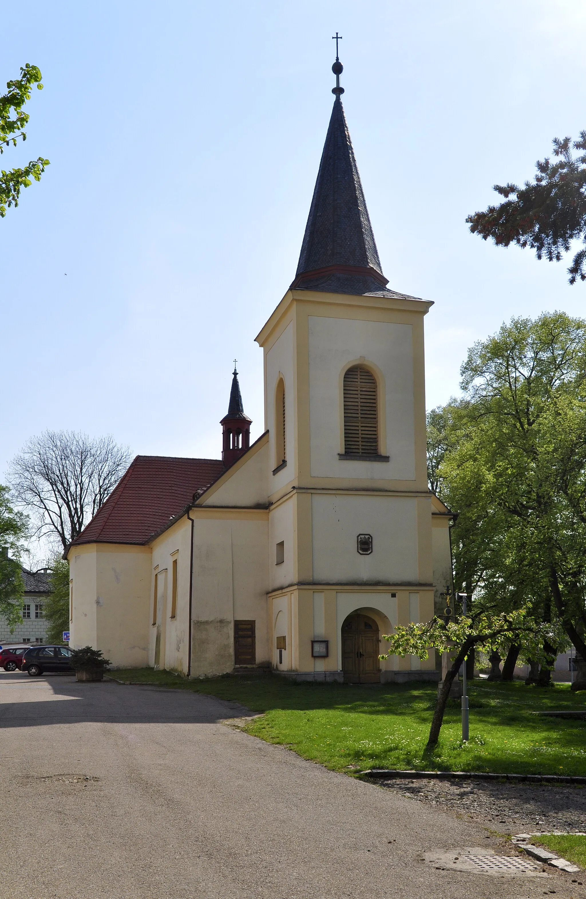
ČmelínyVillageČmelíny is a small village known for its traditional folk architecture, including beautifully decorated houses and a distinctive church tower.
51 km
51 km
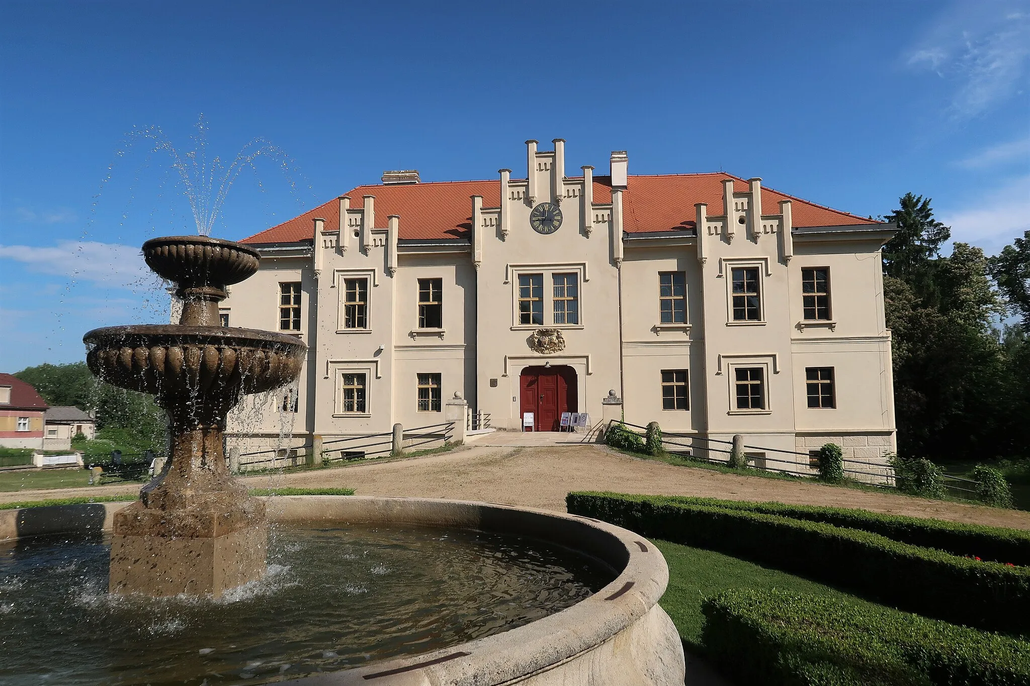
Spálené PoříčíTownSpálené Poříčí is a historical town with preserved architecture, including a castle and church.
51 km
51 km
Finish: Spálené Poříčí City centerSpálené Poříčí: Cycling in the tranquil countryside of Spálené Poříčí
Cycling routes nearby: